Your donations help T1Determined #keepgoing.
Race Report: The Type 1 Diabetes Run Across America
In memory of Rebecca Gartrell, who would likely have set a new Fastest Known Time across Texas.
Race reports serve several purposes: they give a feel for what it was like to be there and do the thing in question. They contain time-and-location-stamped photos and selfies important as evidence of FKTs (fastest known time on a specific route, maintained by FastestKnownTime.com) and are usually supported by other forms of evidence from live GPS trackers and GPS watch workouts. Together, they document a level of detail about road conditions, weather, or encounters that would be extremely difficult to falsify.
They also leave a record for others contemplating similar efforts that can help aid their own planning. I know that for my own runs, Leslie and I searched out all the race reports we could find from transconners, the more detailed the better.
Partly because of the above, a lot of the following may read a little like: “I went here. I did that. I ate a sandwich. I finished at 6:00 PM.” I apologize in advance if that puts you to sleep.
If you’re still reading, though, please enjoy! It’s harder to get a much closer look at the day-to-day experience of running across the USA.
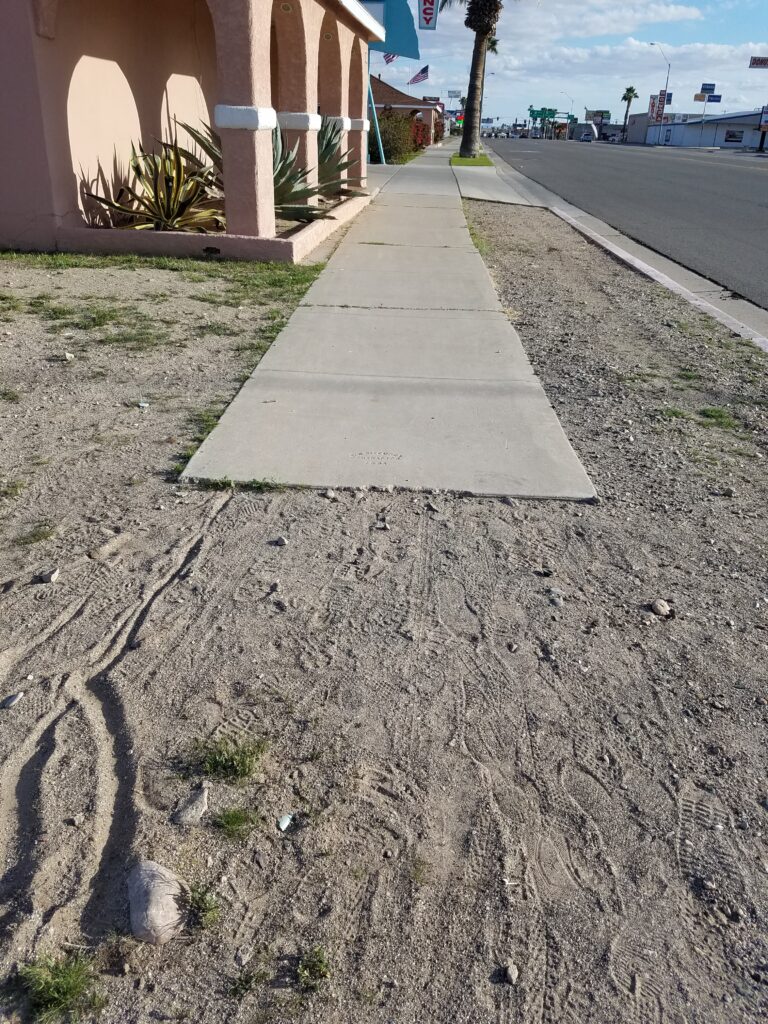
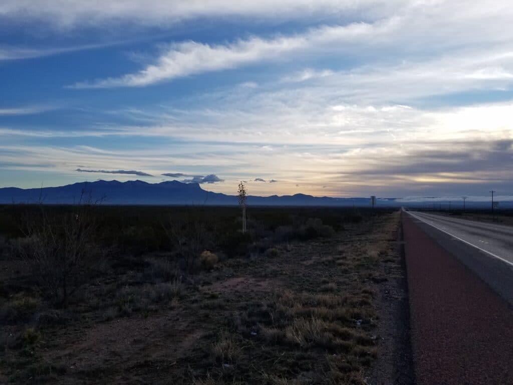
2/1/2020: Newport Beach and the Pacific Ocean to Corona CA
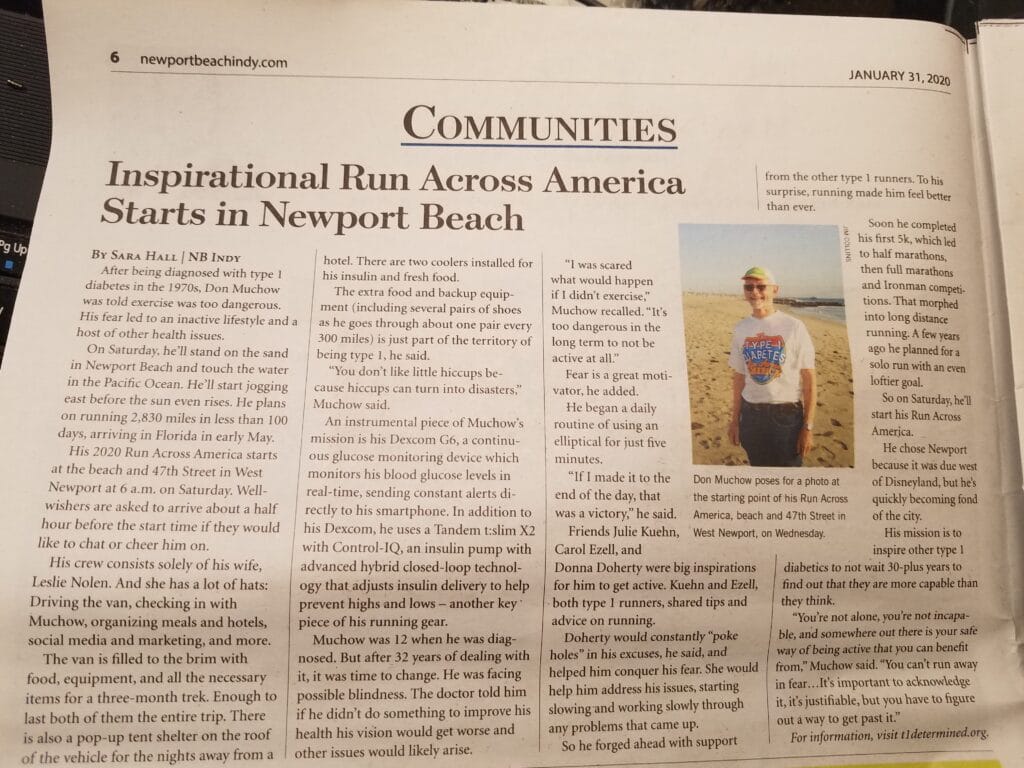
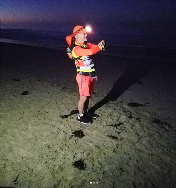
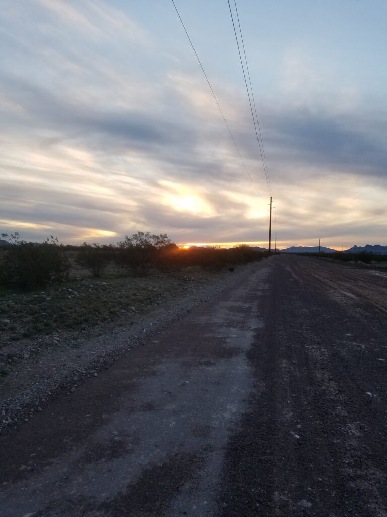
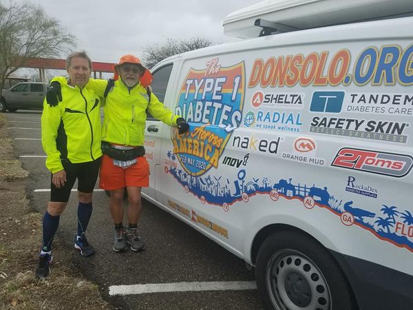
I began the #T1Determined Type 1 Diabetes Run Across America on February 1st, 2020, at the beach at the end of 47th Street, at 6 AM.
My wife Leslie and I had already been in San Diego for about a week, where we had set up “home base.” I did a TV interview with KUSI / Good Morning San Diego which gave me a great opportunity to share my three goals for the run:
- Raise awareness of issues faced by people living with Type 1 Diabetes, including the special challenges to managing blood sugars while being physically active.
- To semi-officially run across the United States, according to the USA Crossers’ “two wet feet rule”: actually putting a foot in the water of both the Pacific and Atlantic Oceans.
- To become the first person to run from Disneyland to Disneyworld and set the FKT for that distance. Unfortunately, Guinness doesn’t consider those two endpoints significant enough to constitute a world record. Crazy, right?
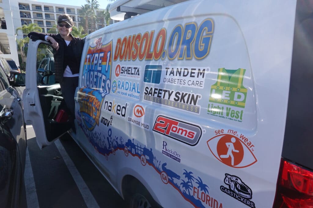
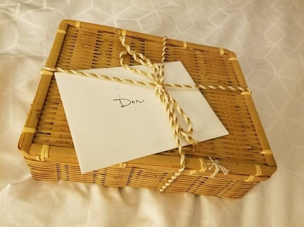
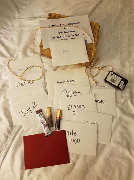
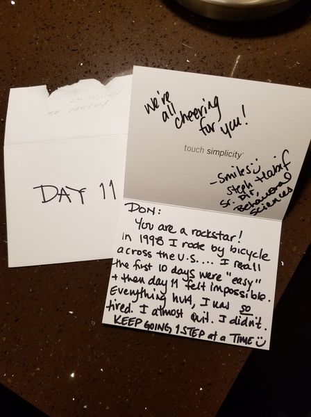
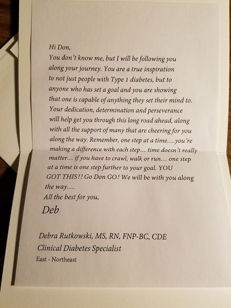
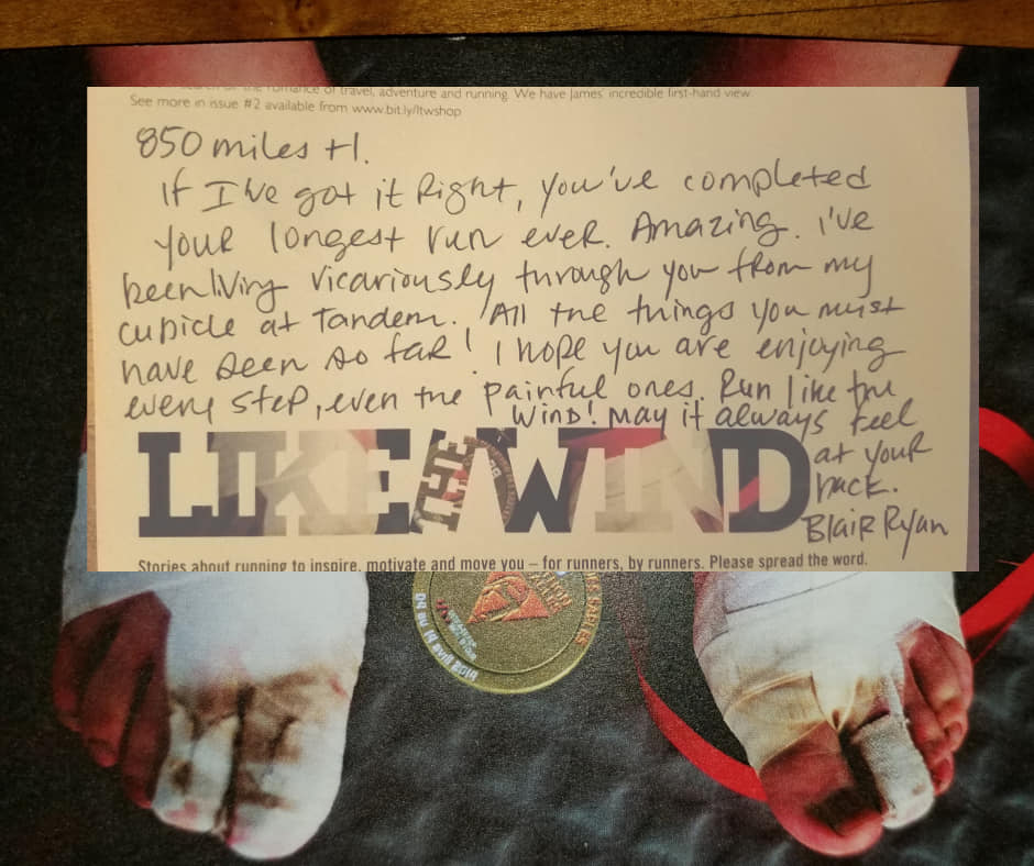
Tandem Diabetes Care, who makes my insulin pump, and Dexcom, who makes my continuous glucose monitoring system (CGMS) had invited us to tour their factories, so we started the week leading into the run by meeting up with the folks who actually help keep me and hundreds of thousands of other people with Type 1 alive and out of the ER. As we left Tandem, community outreach manager Blair Ryan gave me a wonderful box full of notes written by some of Tandem’s Type 1 employees and other Type 1s, designated to be opened at specific points along the way.
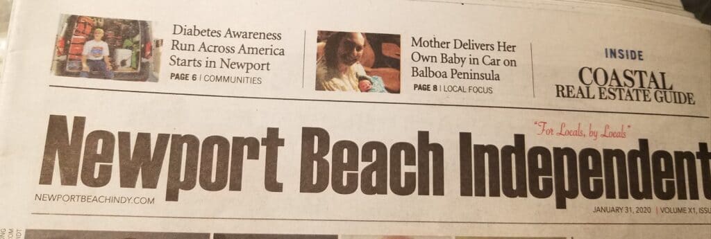
Sara Hall and her Type 1 diabetic photographer from the Newport Beach Independent had come out to the 47th Street beach with me the afternoon of January 31st, when we relocated our headquarters to Newport Beach (so I could test-run the Santa Ana River trail and Power Line Road east of Palm Springs), in order to get some daylight shots for the paper in case the starting line photos didn’t turn out. That’s their article in the photos, and you can read it here.
I did a phone interview with the Orange County Register’s Disneyland reporter and you can read the article here.
My hometown magazine, Plano Magazine, also did an article about the run that ran January 31st, 2020.
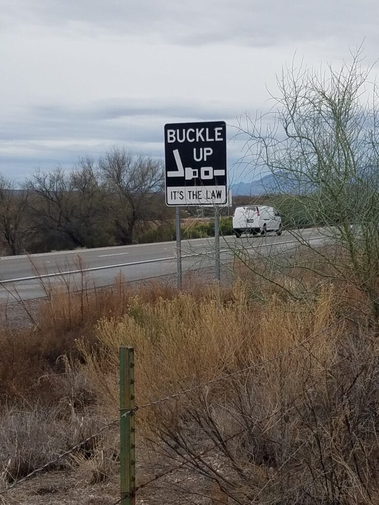
Outside of raising awareness of issues faced by people living with type 1 diabetes, I had one other logistical objective for the run that I hoped our carefully planned route would help me achieve: to stay off the Interstates unless that was the only way to get from point A to point B (and even then, limit any such time to less than a mile), and stay off illegal or private roads in general so if any records were set, they’d be valid for someone else to attempt.
I wanted to make sure I documented the run thoroughly, so I carried with me a live satellite tracking beacon (a Garmin InReach), two GPS watches: a Suunto 9 Baro with extended battery life, plus a Suunto Ambit 3 that was a bit more accurate counting mileage but had known problems with refusing to record runs longer than 1000 kilometers; and my cell phone, which I hoped would record the time and location of abundant selfies I took next to unique landmarks along the way as I ran.
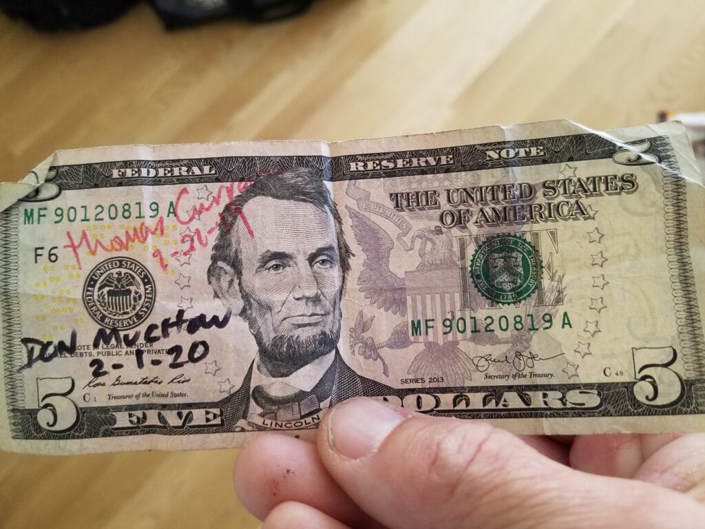
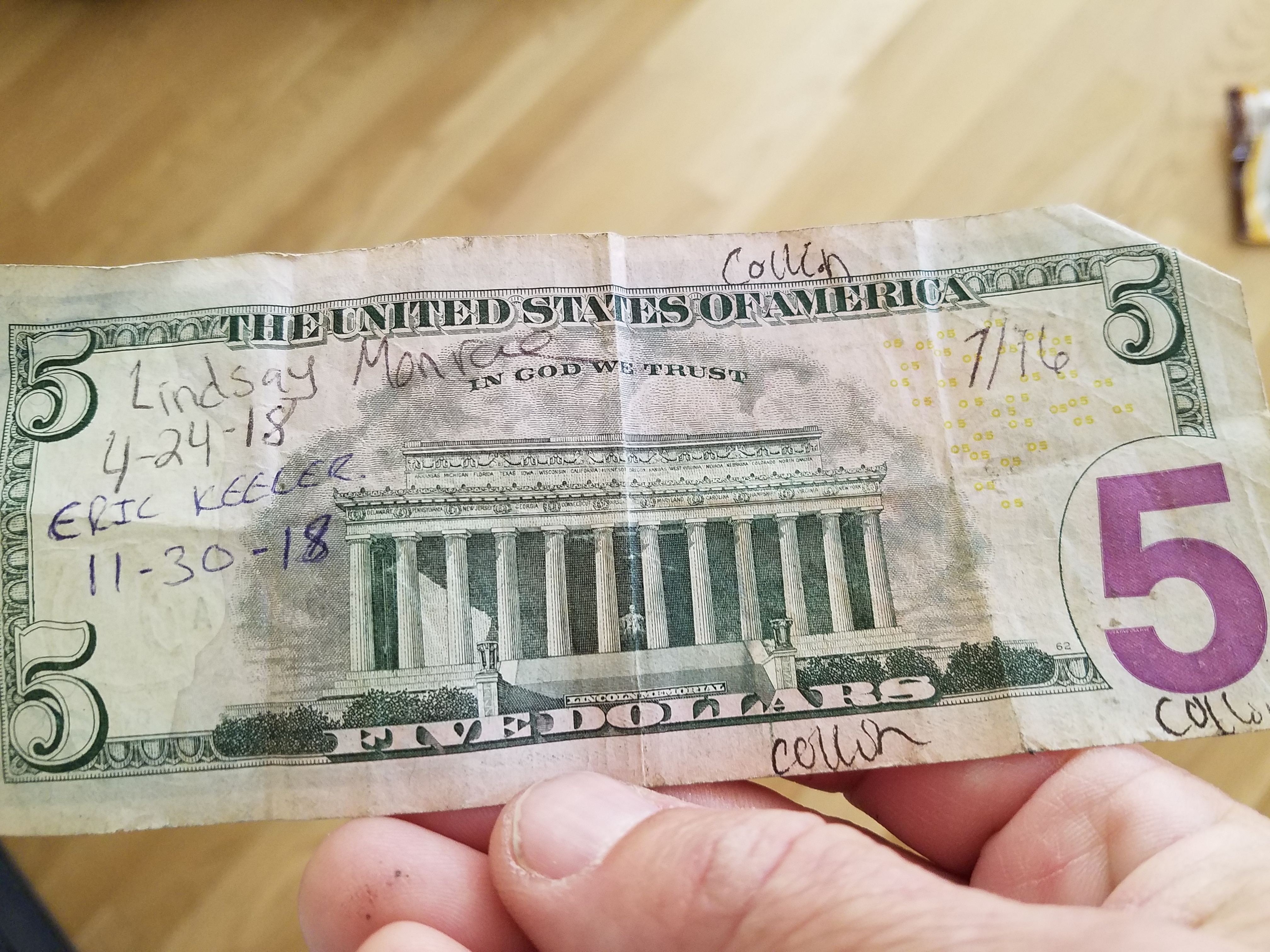
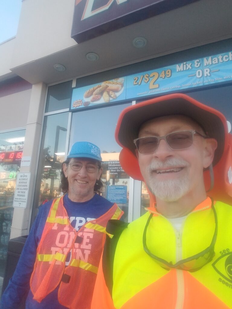
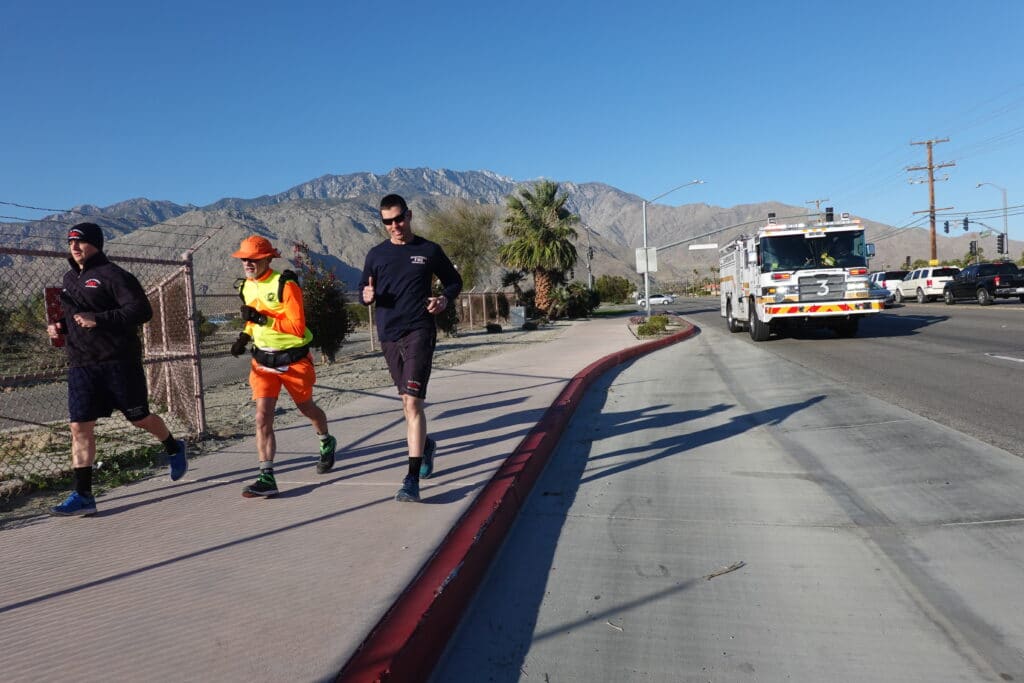
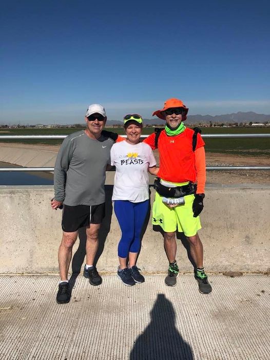
At the starting line, I was joined by USA Crosser Thomas Curran, who met us at the convenience store near Chronic Tacos a few blocks away and handed me a “lucky” $5 bill signed by previous USA crossers: for emergencies, or if you believe in luck, to prevent them. I ceremoniously signed it in anticipation of handing it off to the next crosser after me. The photographer from the Newport Beach Independent came out to get some starting line photos as well.
I was also joined by fellow type 1 ultra runner Jerry Nairn. Jerry was one of the people who had written some notes to me to be opened somewhere along the way. I discovered Jerry’s note when we reached DFW, and it warmed my heart and reminded me of that first day.
We targeted a 6 AM start, about 45 minutes before sunrise, so I could finish the day in Corona before sunset. It was very windy and cold on the beach at that hour. I had dressed for running, so I was shivering when the photographer did the starting line photos for his newspaper. We didn’t have adequate lighting for the starting line shot, and my wife Leslie and others improvised by turning the cell phone flashlights on. In the end, the starting line photos didn’t turn out.
Right at 6 AM, I scurried down to the water’s edge wearing my sand gaiters, as I didn’t want beach sand to be the reason I got blisters on the very first day, put a toe in the water, and with not much more ceremony than that, I was literally off and running.
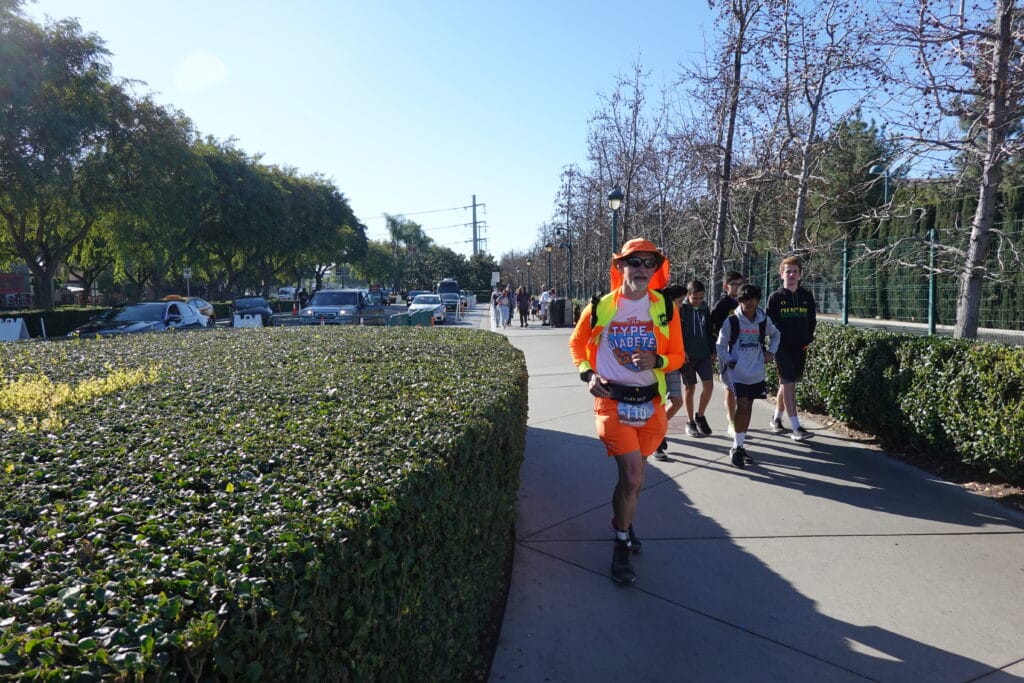
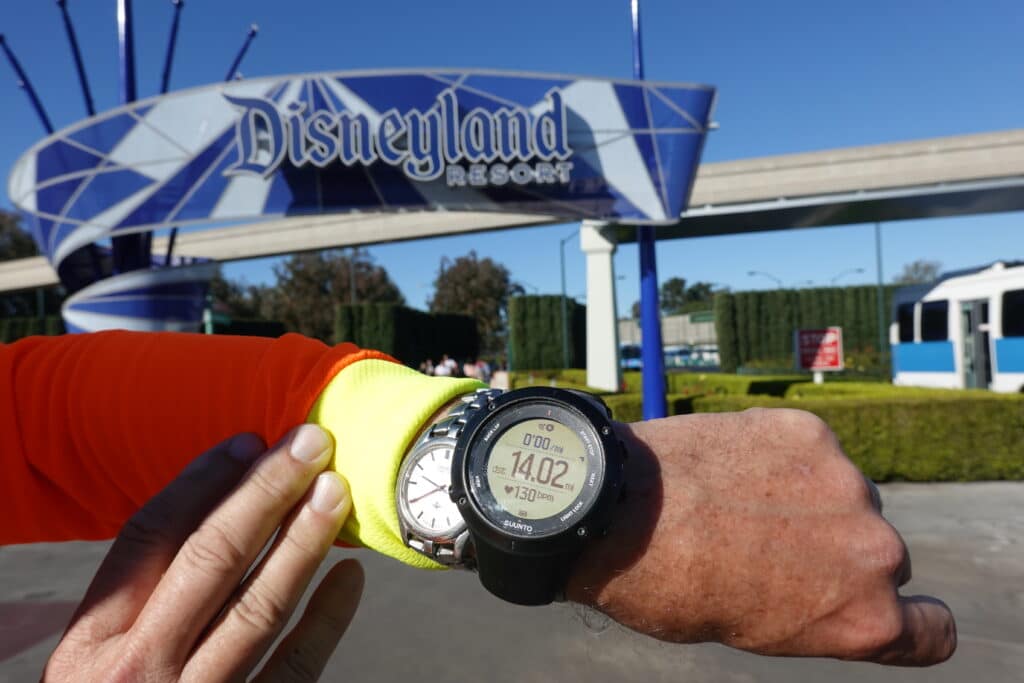
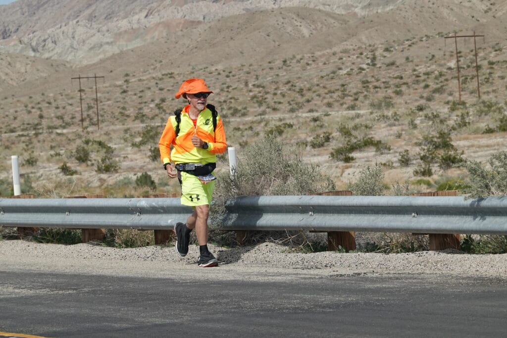
Jerry ran with me about 10 miles until just before Disneyland. That’s Jerry in the photo above, somewhere along Superior / CA-55, a little before we turned onto Harbor Boulevard.
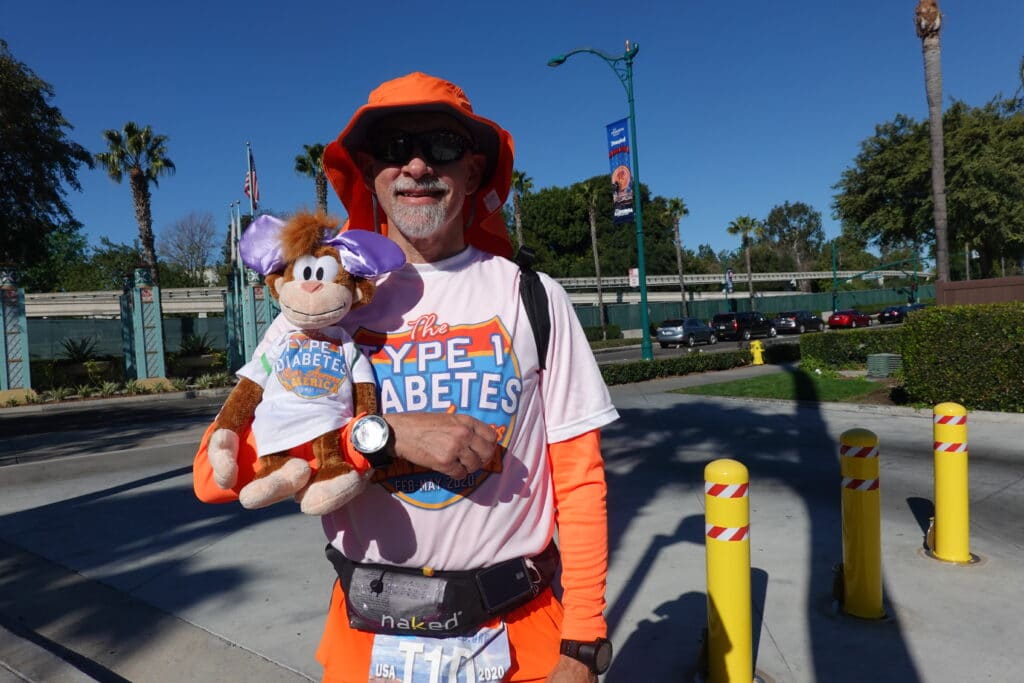
I reached Disneyland at 9:40 AM, just over 14 miles from my starting point, and my wife Leslie took a photo of me with our Disney type 1 mascot, Coco the Monkey, in the hotel parking lot across the street, where we had reserved a spot in advance so we could celebrate the moment.
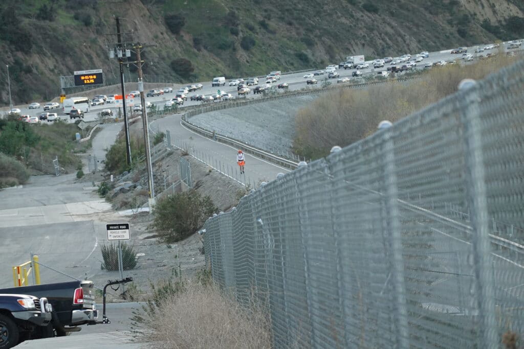
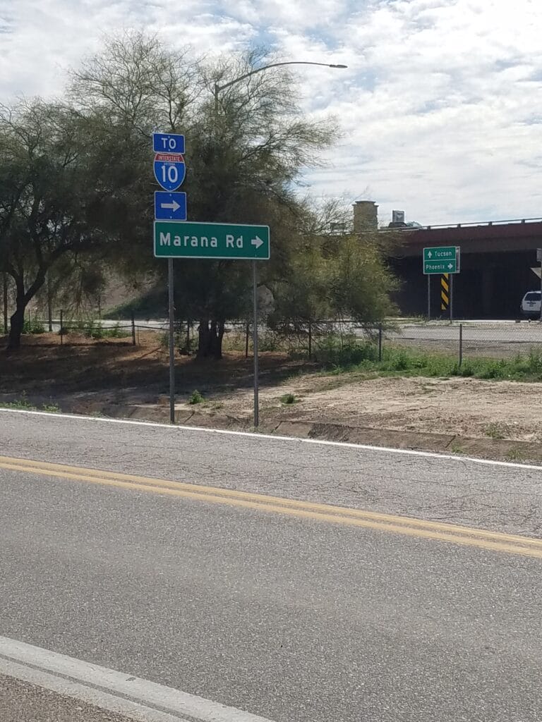
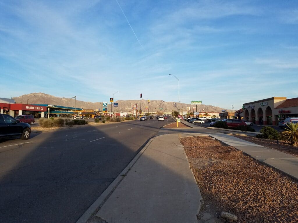
Most of the remaining day was spent getting out of the congested area near the Los Angeles suburbs, which took a little doing for me as a runner. The biggest challenge on day 1 was finding a way to get past CA-93, a super-busy freeway that might have technically been legal to run on but which would have been suicidal or just crazy, without being too far from the van, which had most of our emergency medical supplies, including glucagon, spare infusers, insulin, CGM sensors, and glucose shots.
I found a paved bike trail, the Santa Ana River Trail, that ran from Yorba Linda parallel to La Palma Avenue. I stayed on La Palma until the sidewalk ran out, in order for Leslie to be able to spot me, then got back onto the trail just past a gas station approaching the turn onto Gypsum Canyon Road and the bridge over the Santa Ana River, since there was a barrier blocking access to the trail for the remaining distance to the turn. The trail descended and ducked under Gypsum Canyon Road and continued for a few miles parallel to CA-93, a busy freeway I wanted to avoid. We rejoined each other at the far end of the trail at Green River Road.
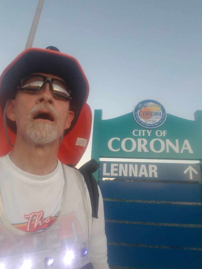
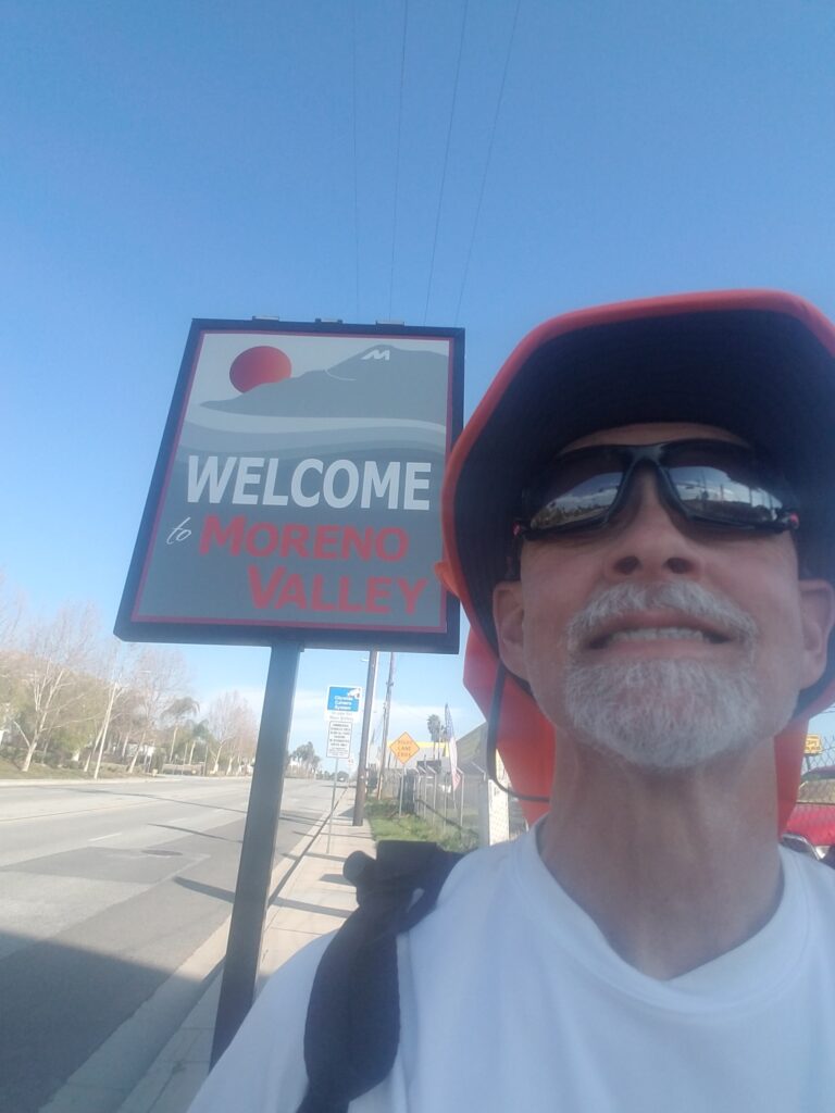
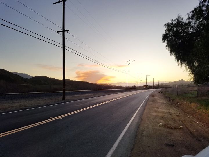
What I remember about the day was that my feet were fresh, I felt good, and the day seemed short. I made it to the gas station at Green River and Dominguez Ranch Road that marked my entry into Corona just before sunset, a total of around 36 miles.
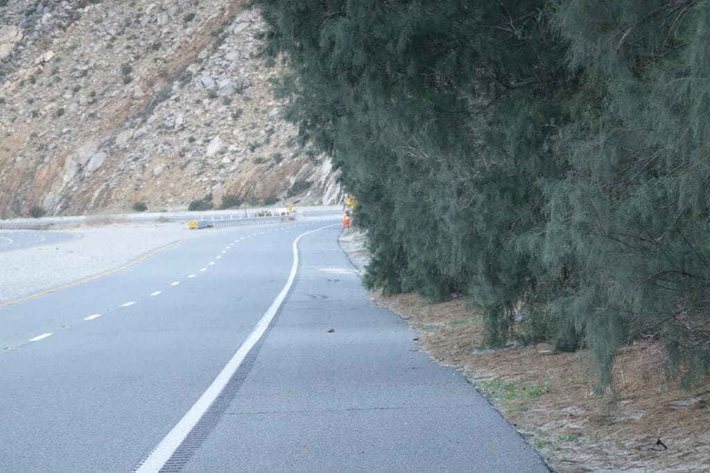
2/2/2020: Corona to El Casco CA (Redlands & San Timoteo Canyon Rd)
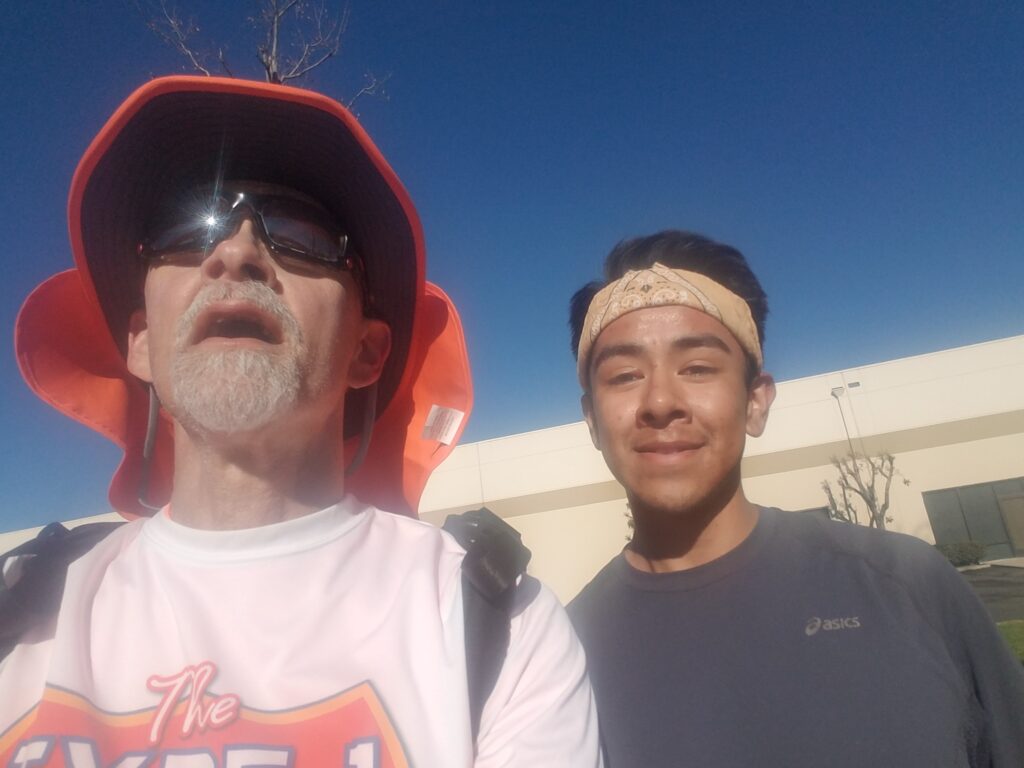
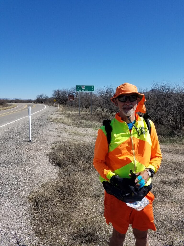
The second day was a little more challenging that I had expected. I ran along 6th Street, then Magnolia, for a good portion of it, with a couple turns just east of Home Gardens to avoid a dangerous overpass. That’s where I ran into my “instant friend” in the picture above, in Corona around 11:15 AM. He was a fellow runner who had heard about my USA run to raise type 1 diabetes awareness. His sister has Type 1.
I no longer had the chilly wind from the beach, and even in February, the California sun just keeps coming. It was uphill into Riverside, and not long after turning onto Arlington / Chicago Avenue, I remember stopping on a little neighborhood pull-out just south of Andulka Park to meet with a lady who Leslie had been in contact with. By then, I was sweating profusely ad wishing I’d worn my desert running shirt.
Somewhere around the turn for Central, I ran into two parents with their daughter, who was selling Girl Scout cookies. I paid for a whole box and ate two cookies. They were delicious. That put me in a much better mood.
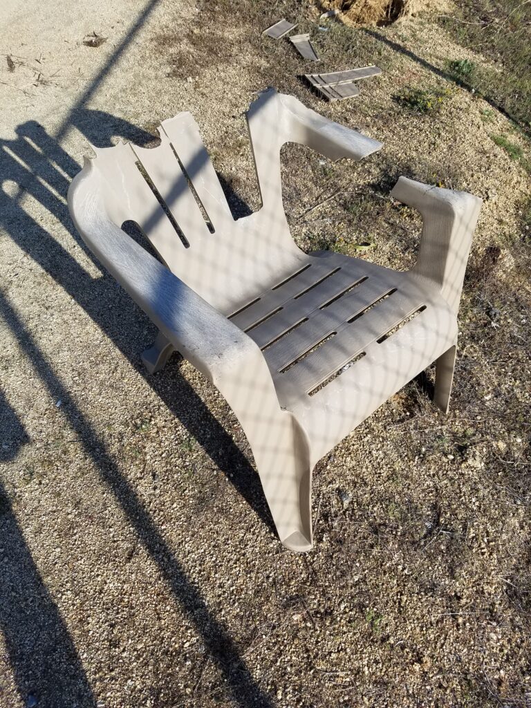
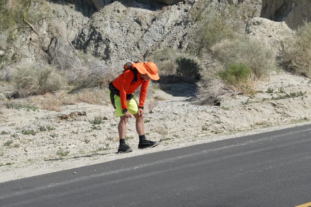
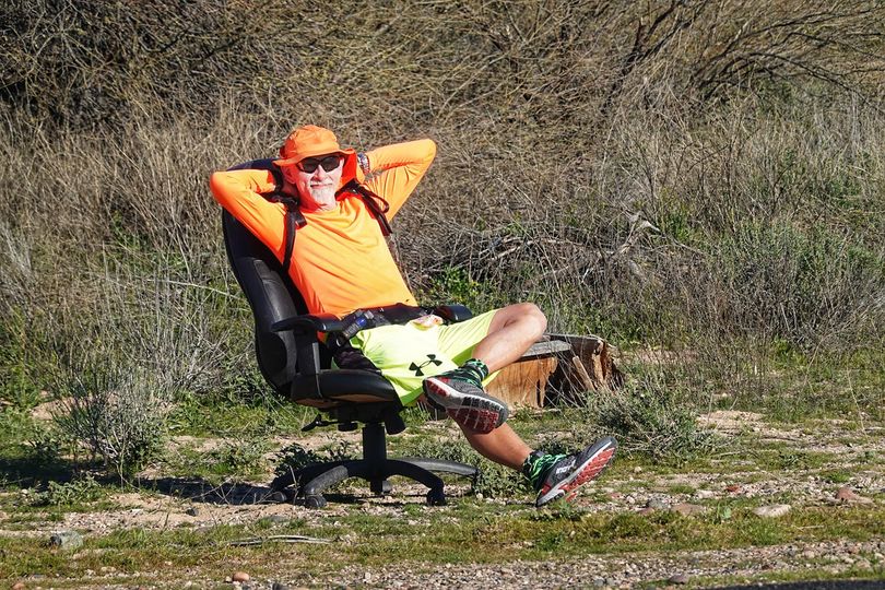
One thing I’ve learned is that you don’t pass up good opportunities to sit down for a minute or two. Somewhere along Central I found a discarded chair, and feeling like I deserved it, sat down–carefully. You can see how dodgy the chair looks in the photo above.
At Sycamore Canyon Road, I turned and followed the frontage, which kept switching from decent to weed-covered, until I got to my left turn at the Jack-in-the-Box at Box Spring / Ironwood Road.
Given its proximity to Los Angeles, I was surprised at how rural things got after that. The last photo above is of a bit of farmland along Ironwood before I came to the turn at Redlands Road.
The day wore on, and before long, I was starting to run out of sunlight. I ran fast along Redlands Road through Moonlight Rim. The shoulder came and went and then never came back, and the road got rather busy, so I adopted the habit of running when there were gaps in traffic, then stepping quickly off into the weeds when I had to.
I reached some kind of outbuilding just before the road bent slightly east toward San Timoteo Canyon Road and checked my remaining miles for the day. It was touch and go and very narrow or absent shoulders through the narrow canyon road just before San Timoteo Canyon Road. At one point, I’m pretty sure I lost GPS on all three of my trackers, because both of my watches reported a lost signal and my live tracker shows a gap. But there was nothing much I could do about it, and fiddling with electronics on a 1-2 ft. shoulder on a busy road just before sunset seemed like a horrible idea. I learned later that signal echoes and drop-outs are fairly common in canyons depending on how narrow they are.
When I emerged from the canyon it was mostly downhill and a wide shoulder. I reached the intersection with San Timoteo Canyon Road at last light.
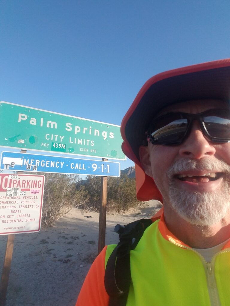
2/3/2020: El Casco to Palm Springs CA
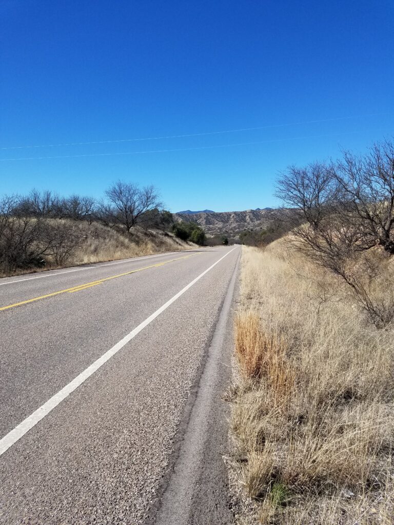
The early morning hours heading down San Timoteo Canyon Road toward Beaumont, Banning, and Palm Springs were a mixed blessing. February 3rd was one of the coldest days in the early part of the run, and I had doubled up my winter gloves to keep my hands, which are subject to Reynaud’s, from becoming painfully cold.
Despite the fact that it was a Monday, and around dawn, there wasn’t much traffic on the road. The road ran parallel to a railroad for a while. It was quiet, apart from a road crew that had set up near where a slight S-curve in the road crossed the railroad. Before I knew it, I was at Fisherman’s Retreat and the sun was coming up.
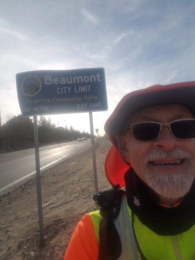
The sandy, off-and-on shoulder of San Timoteo Canyon Road eventually gave way to Oak Valley Parkway, a wider road with better shoulders, which still ran through a fairly rural area.
I ran along Oak Valley Parkway until it emerged in a more developed area and T’d onto Highland Springs Road in Beaumont. There, the road was under construction and the easternmost lane was blocked off with cones and trucks. I ran along that area until I felt I was becoming a traffic hazard. Eventually, I was forced to run in the grassy area on the east side of the street, which was absolutely full of cockleburs. By the time I reached the Walgreens at 6th / Ramsey, I had close to 20 burs stuck in my insteps, shoelaces, and even the soles of my shoes. I sat down on the curb and picked them out before turning onto Ramsey and continuing.
My running was relatively uneventful after that. I met Leslie and the van at the gas station at Hargrave before setting off on the next segment of the run, a section I hadn’t been entirely sure would work even after scouting it upon our arrival in Newport Beach.
Getting out of the Los Angeles basin on foot is harder than it looks. There are really only a few ways out.
- One is to run local roads or the I-10 frontage road until you reach Haugen-Lehmann near the Indian Casino and surrounding shopping, then get on the north side of the Interstate to take Tamarack and some small roads until you reach a section of sandy, non-vehicle-friendly land with windmills. You cross that for a mile or so and come out on a utility road that joins CA-62. From there, some transconners take CA-62 north for a while until they reach a hill called the Morongo Grade. The shoulder on Morongo Grade is very narrow, perhaps 2 feet at most, and it’s next to a busy multi-lane highway that heads toward 29 Palms.
- Another way is to take mountain roads south of Banning toward Ribbonwoods and Palm Desert, which are prone to having narrow or nonexistent shoulder. That route is perhaps the longest one, which prolongs the risk of getting hit by a vehicle.
- The third way is to run parallel to I-10 on the south side for as long as you can, get to CA-111, and head into Palm Springs. That’s the route I took. It’s relatively short, remarkably quiet, and the only disadvantage is that once you’re in Palm Springs, there isn’t much beyond Coachella but desert. For a runner with a van, that’s not as challenging as it looks and there are a few places to stop, just not many.
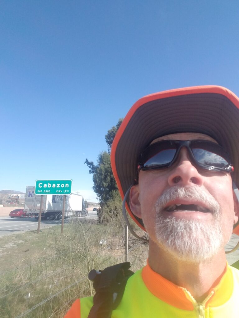
I crossed south on Hargrave to just before the Banning Airport. There’s a short paved road next to the airport that runs parallel to railroad tracks. That road dead-ends, but there are a few safe places to cross the railroad tracks, and after maybe a mile or so of stepping gingerly over the large rocks that make up the rail bed, you emerge onto a long-neglected road called Johnson. That’s Johnson in the pictures above with the mature weeds growing through the asphalt.
I followed Johnson past the back side of the inspection state to where it kind of unofficially dumps out onto a roundabout. From there, I took Main St. through Cabazon and Mons until the road ran out.
There’s a short section, perhaps a quarter mile, where the safest and only way for a runner to get to CA-111 is the wide right shoulder of I-10. Technically one could run the left shoulder after exiting Tamarack, but not only would that require running shifting sands on the top of a hill, but you’d still have to be on the interstate, for longer, and crossing a long bridge across the highway to exit onto CA-111.
This is why I say it’s hard to find a safe way out of the LA basin. I took the safest one available, and after not long, I was on the wide shoulder of CA-11 and headed toward Palm Springs (that’s it in the fourth picture above).
It was on the shoulder of CA-111 that I ran across a guy who had for years been collecting recyclables and exchanging them for the few pennies value they had, then had taken the money he saved and bought bicycles for over 100 kids. This was one of the first encounters on my USA run that I had with people out on the road doing good in the world.
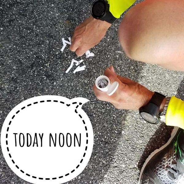
Somewhere in Banning I dropped an entire bottle of glucose test strips on the ground. Things like that can put you in a funk for a while on these long runs, so I tried to remind myself it wasn’t really a bad day.
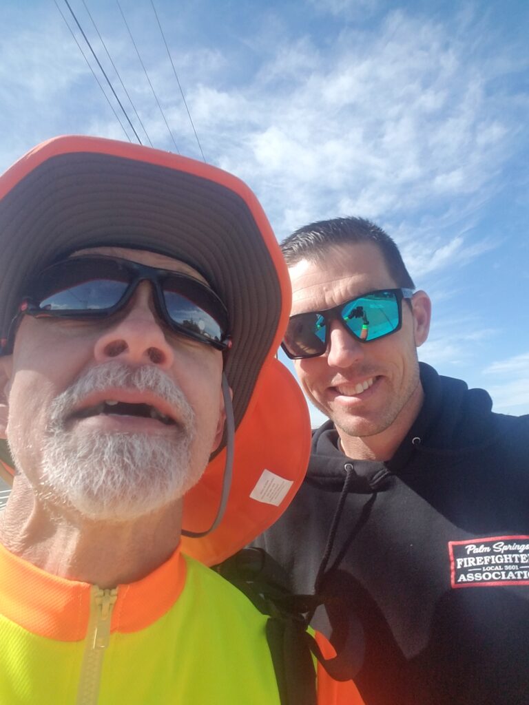
Around 2 o’clock in the afternoon I ran into fellow Type 1 diabetic Matt Kearney, who is a firefighter with the Palm Springs Fire Department. Something you might not know is that it is very, very difficult with type 1 to obtain and hold a job as a first responder. Many towns feel a bit gun-shy about having someone in a lifesaving job whose own life might be endangered by a low blood sugar. So actually working in such a job is a sign not just that Matt’s in pretty tight control, but that people with Type 1 can do pretty much anything if they’re careful, meticulous, and determined enough.
I felt instant brotherhood with Matt.
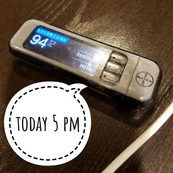
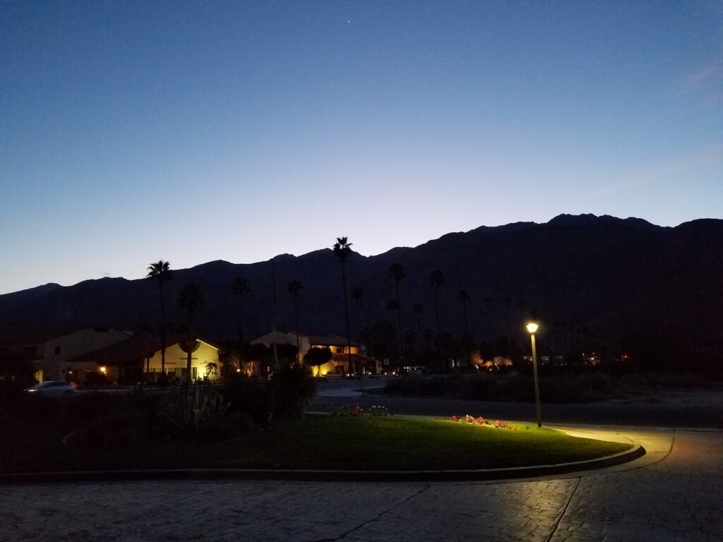
Just before sunset, I reached the gas station that marked my entry into Palm Springs, feeling pretty good about the world. I took one last photo at sunset, from our hotel, because with the sunset and palm trees, it reminded me of the Eagles’ Hotel California. The icing on the cake was testing my sugar once we were in the hotel room and finding it to be 94 mg/dl, which is very close to normal, despite a stressful day of sucking down calories and trying not to get struck by cars.
2/4/2020: Palm Springs to Coachella CA
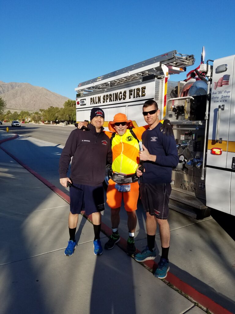
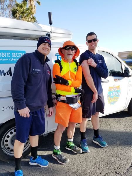
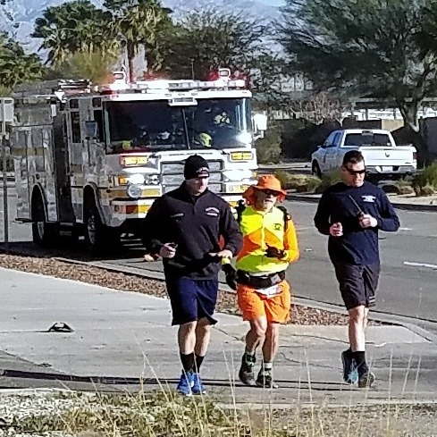
From the gas station at the edge of town in Palm Springs, I ran along 111 until I reached downtown, and turned onto Vista Chino. Around 10 AM, I was surprised by the loud growl of a diesel engine behind me and a couple of short, friendly honks. My friend Matt had somehow managed to give me a fire engine escort through Palm Springs!
I cannot tell you what an uplifting moment that was for me. Some of my transconner friends who are first responders or military types occasionally get this kind of VIP treatment, but I never expected it. I had just been happy that Matt showed up the previous day.
Matt and two other firefighters ran with me through the rest of Palm Springs until we reached the border with Cathedral City. We parted ways, and I was on Cloud Nine.
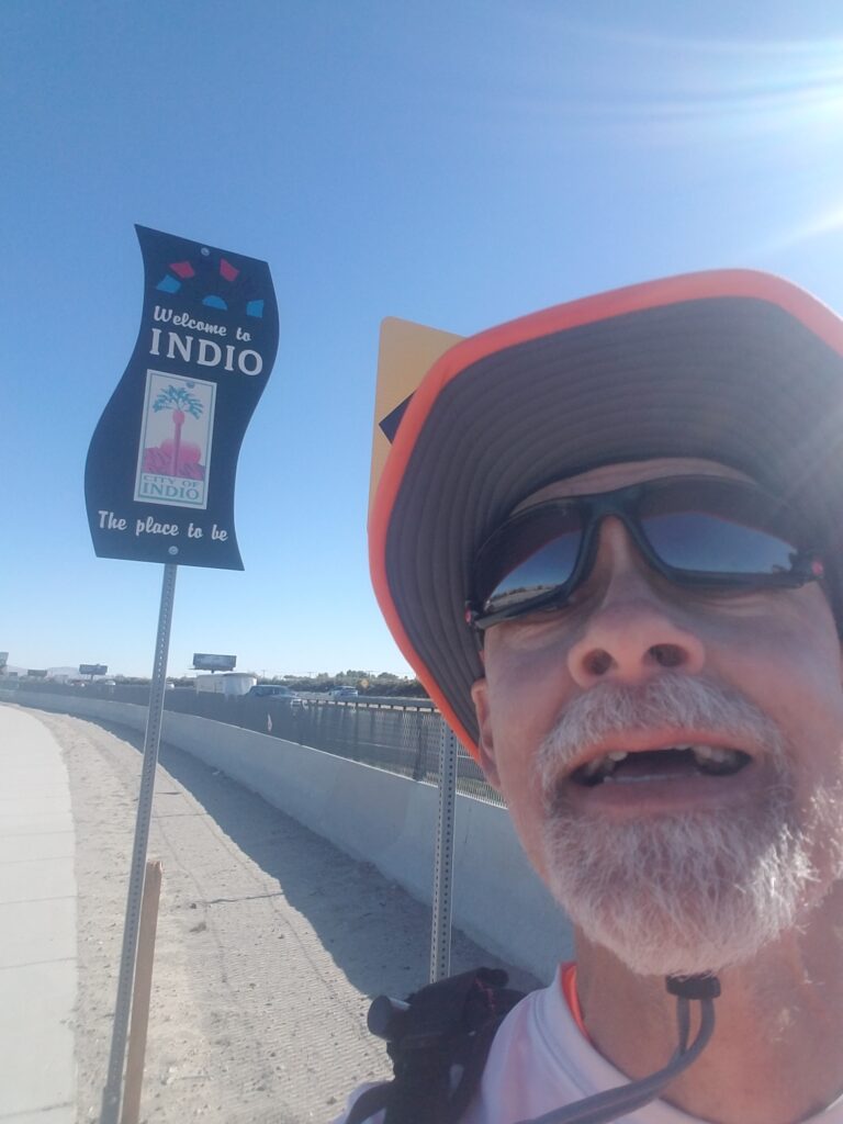
Not long after, I turned onto Ramon and ran toward I-10, picking up the east side frontage road (Varner) in Thousand Palms just past the Agua Caliente Casino. I headed south along Varner (I-10 frontage), and as sidewalk appeared and disappeared into sandy shoulder, I began to get the sense that civilization here was an uneasy truce between people and the desert. My route jumped the highway at Jefferson to the south / west side, and by late afternoon, I was in Indio.
Looking back, I really don’t know where the time went.
Indio, which lies in the gap between Palm Springs and Coachella, was a little seedy. Some of the convenience stores I passed had a number of homeless and sometimes addled-looking people waiting outside. One of the stores I went into for a restroom break had the cashier inside a separate room with bulletproof glass.
That said, once we reached Coachella, we had dinner that same night at El Mexicali Cafe, a little place next to the railroad tracks that looked fairly busy with local patrons. I no longer see it on their menu, but I remember having chicharrons and a fried egg, and that it was awesome.
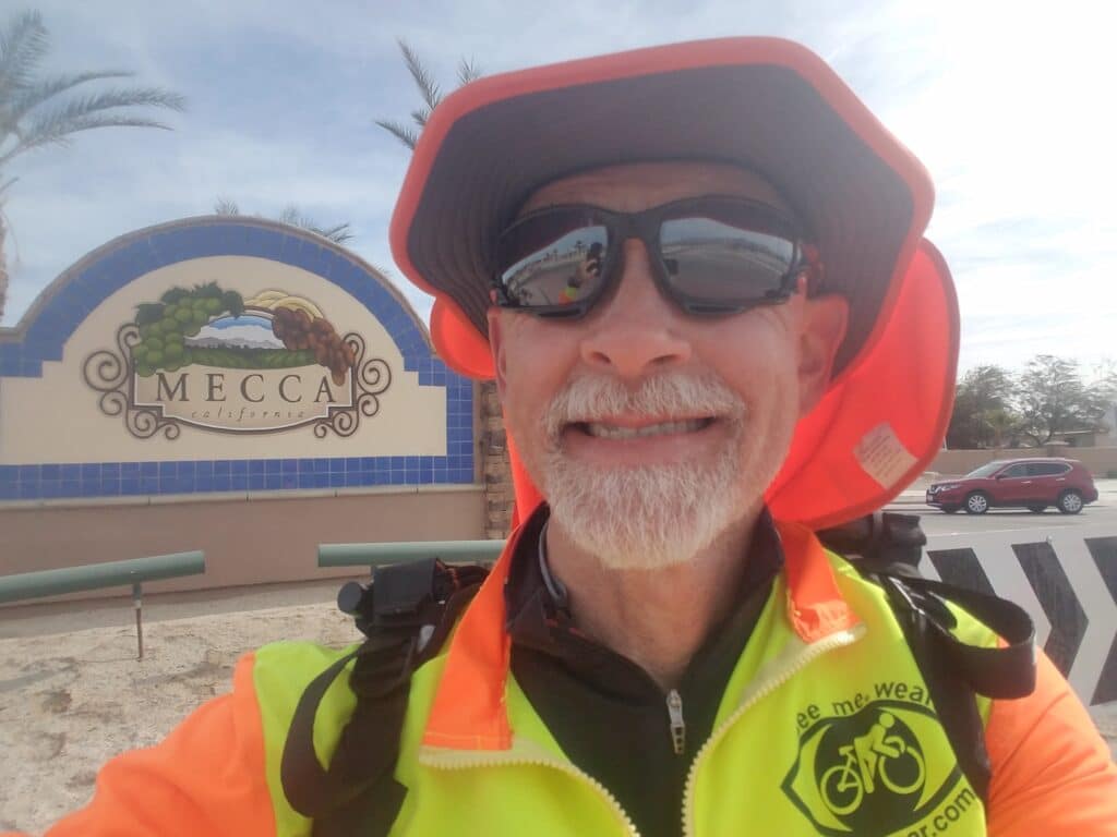
2/5/2020: Coachella to Mecca CA and Box Canyon
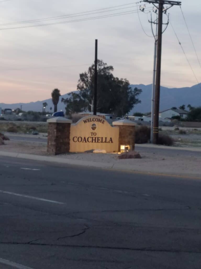
Heading out of Coachella was more of the same: seemingly endless stretches of Indio Boulevard / I-10 business, which got increasingly more desert-like and less developed. We passed a date farm on the right, and Leslie stopped to get me a date-flavored milkshake, which wasn’t bad. It tasted like a cross between grape and chocolate.
The road shoulders soon went to hell in a handbasket. They were steeply sloped and sandy, and just stepping off the road became a challenge, as my feet would often get caught in a shower of sand as the shoulder collapsed where I stepped off the road. I was wearing my desert gaiters, so that helped, but after a while, the absent shoulder and road camber (slant) become quite annoying and put stress on my ankles.
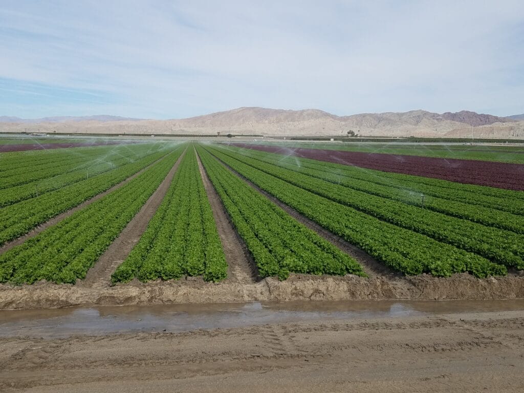
At 6th Street, somewhere around lunchtime, I crossed into Mecca. The shoulders finally came back. We had lunch at a place called Taco Time that was for the most part a hole-in-the-wall, but had the best carne asada I’ve ever tasted, plus some kind dish that was a bit like fried mashed potatoes. Just as we arrived, we were passed by a group of cyclists who appeared to be headed down 66th Avenue toward Box Canyon. We later learned that Box Canyon Road, which is what 66th turns into, was a popular route for cyclists, and we encountered a few of them later in the day.
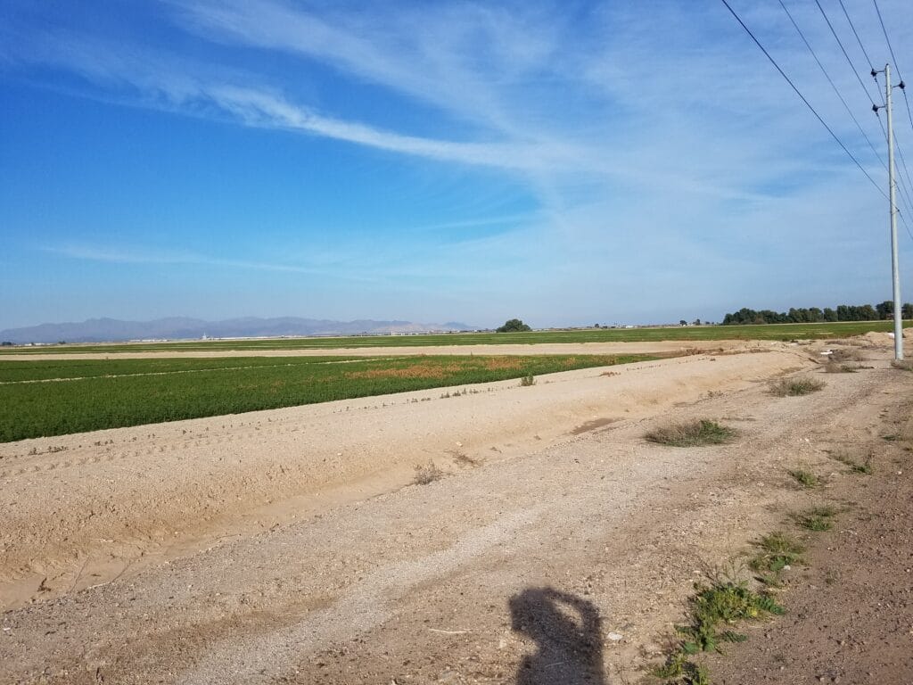
After lunch, I was underway again, through a section of land that was fairly well irrigated and had crops growing. I was amazed how in the middle of the desert, there were hundreds of acres of crops.
That same day, Ross Wollen of A Sweet Life, an online diabetes diet-focused newsletter, did an online interview with me and published an article about my run and what I ate while out on the road.
The farmland gave way pretty quickly to sandy canyonland.
Box Canyon was beautiful, but it was sunny. The sun is an odd thing. Even in February, it’s relentless. You can be so cold you need a jacket, as you can see in the pictures above, and yet sometimes even with a wide-brimmed boonie hat, it can still bear down on you and make you dizzy. As I looked up to catch the occasional fighter jet flying overhead, when I looked back down I found I had to catch my balance.
Toward the end of the day, I finally emerged out of the canyon and onto a section of Box Canyon Road that would eventually join up with a dirt utility road paralleling I-10 that would be my secret to finally getting out onto the open highways outside the populated part of Southern California.
2/6/2020: Box Canyon to Desert Center CA via Pinto / Power Line Road
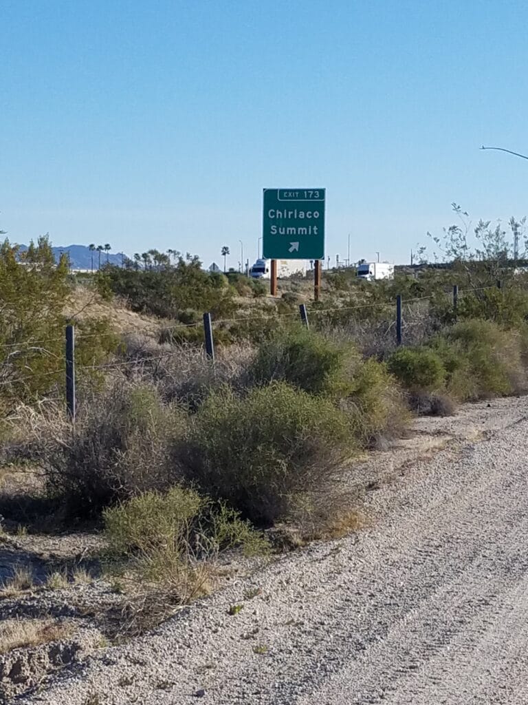
We began the day at the western end of Pinto Road, a road defined in only the loosest sense. To reach the very short paved section of the road from Box Canyon, you actually have to drive in sand deep enough to get your wheels caught. So it was off limits from the start for Leslie to follow the same route. Instead, we agreed that she’d hop onto I-10 and drive down to each of the exits in sequence: Chiriaco Summit, Hayfield, Red Cloud, and Eagle Mountain Road.
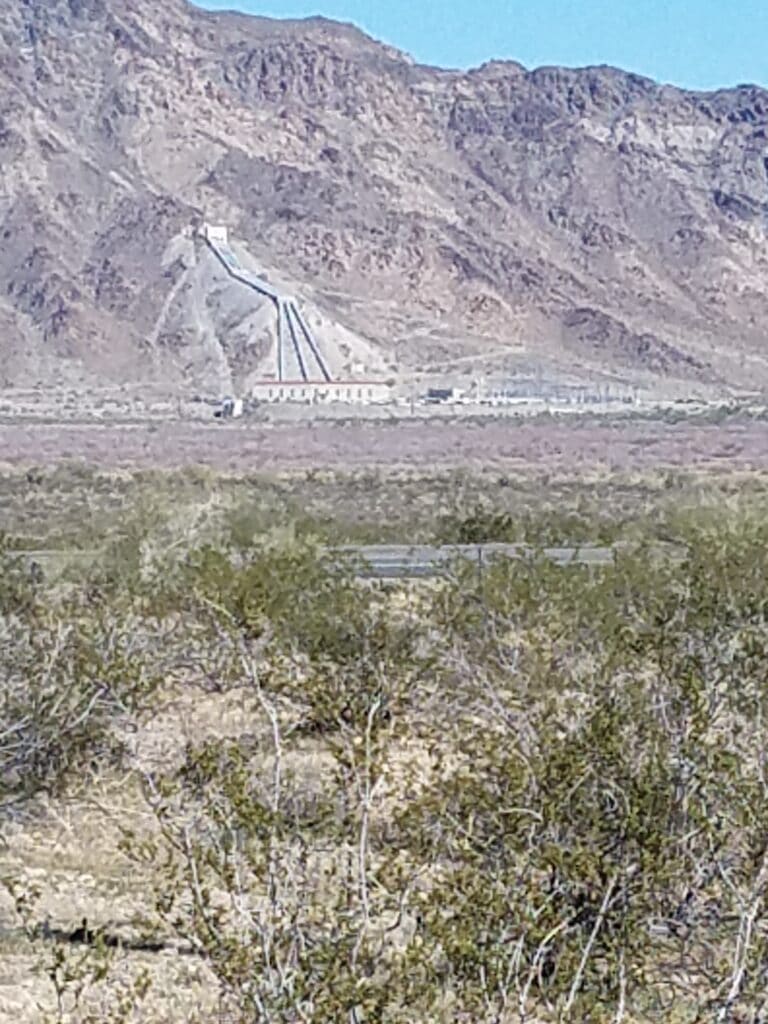
Just past the Hayfield exit, in the distance across the highway, I could see a huge concrete structure built into the mountainside and wondered what it was. It turns out that the area around Desert Center has a storied past. Back in the early 1900s, some folks had this great idea to divert the waters of the Colorado River into a huge reservoir just north of that structure. It was supposed to form a wonderful manmade lake and perhaps the planners had an idea that development would sprout up around it; I’m not sure. Anyway, the new lake leaked. The rerouted river breached an irrigation canal and hundreds of millions of gallons of water from the Colorado River made its way toward what is now the Salton Sea. The project was abandoned and as the Salton Sea had no reliable freshwater replenishment source, it became increasingly salty and stagnant. Today, it stinks like an abandoned fishery and only the most hardscrabble types still live anywhere nearby. Parks, fishing areas and other amenities near this manmade inland sea sea have gone to seed.
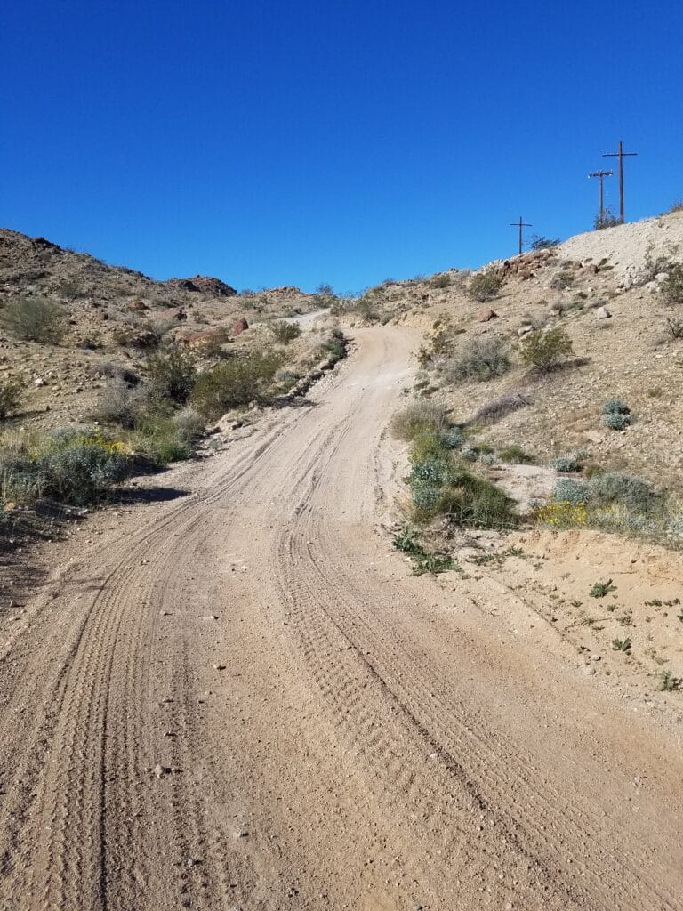
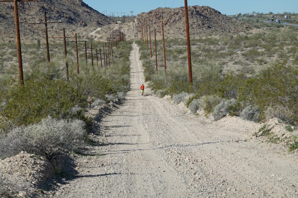
The remainder of Pinto Road, including the part where Pinto gave out and continued as jeep trail just north of Power Line Road, was mostly unnavigable by anything other than an off-road vehicle. Some sections were fairly well-packed gravel and some were fairly rocky and sandy, especially near the so-called “washes”, places where flood waters often crossed roads in the rainy season.
Off and on, I’d encounter something noteworthy. One thing in particular that stands out in my mind was a type of lodging that someone appeared to have set up just off the dirt road, which appeared to be little more than a dirt mound covering some kind of structure from whose top stovepipes arose. Sometimes jackrabbits would bound across the trail and off into the desert. At some point, I began to notice some fairly large paw tracks that I thought might be from a mountain lion.
I had scouted this section previously upon arrival in Newport Beach, and had marked in my notes where to turn so I didn’t get lost in the desert; however, it spooked me to see mountain lion tracks and I lost track of my turns. Figuring it couldn’t hurt me to just follow the power lines, I continued on what I thought had been my route. I was relieved when I arrived at the next exit and spotted Leslie.
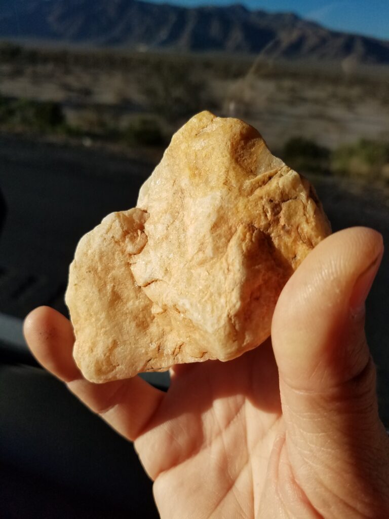
The sections between the Interstate exits were typically 4-6 miles long. Leslie would meet me at the exits and I’d unload any pretty rocks I saw. For the rest of the way across California and Arizona, having little better to do at times, I became quite the amateur rock hound. After a while, though, with rocks heavy in my waist pack and pockets, I got far more selective, threw some rocks back, and kept the smaller ones.
All in all, I believe it was about 20 miles of poor-quality, sandy jeep trails before Leslie and I joined each other at Eagle Mountain Road. There, I crossed the highway to Ragsdale Road and rain over a little more than half a dozen rickety old bridges until we reached the largely-abandoned former downtown of Desert Center.
Pro Tip: fellow transconners, if you are looking for accommodations in the actual living downtown of Desert Center, there’s an RV park community a bit north at Lake Tamarisk that is clean, friendly, and absolutely charming. It even has a walking trail around the lake its own little fire department.
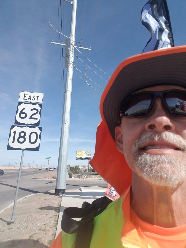
2/7/2020: Desert Center CA to US-177 & CA-62
Once we left Desert Center, there was very little to look forward to until we reached Parker, AZ. For lack of any better location, we targeted our day’s-end where CA-177 joined US-62 east of Joshua Tree.
I began to see signs for Parker, AZ.
But mostly, it was one long section of desert road. On CA-177, the shoulders were paved for a good ways and mostly adequate. There wasn’t a lot of traffic, and we had planned our start date on purpose to fall well after the rainy season, since during our scouting we had encountered a road closure on 177 due to flooding, which caused significant re-routing in an area that doesn’t have that many routing options to start with.
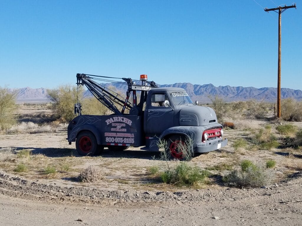
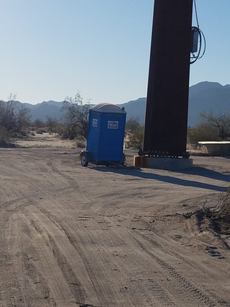
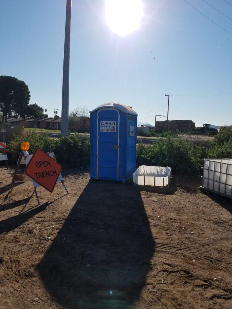
I spotted a tow truck that reminded me of the Tow Mater character from the Disney film Cars, and out in the middle of the desert, a porta-potty. For the next several hundred miles, all the way to Rodeo, NM, I began to encounter them just when I needed them, and came to believe my porta-potty “juju” was very strong.
I am still amazed that someone had the forethought and diligence to put a fresh roll of TP in a stall in the middle of the Mojave Desert.
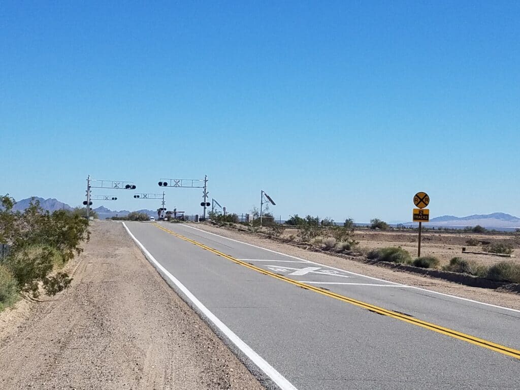
2/8/2020: CA-177 & CA-62 to RR crossing west of Vidal Junction CA
We stayed one more blissful night at the RV park at Lake Tamarisk, and returned to CA-177 and CA-62 to continue running.
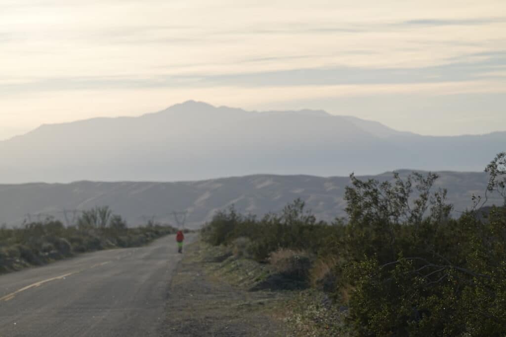
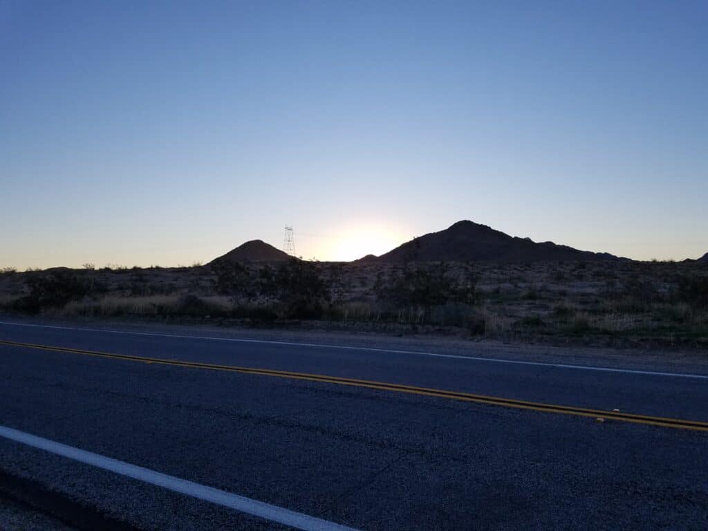
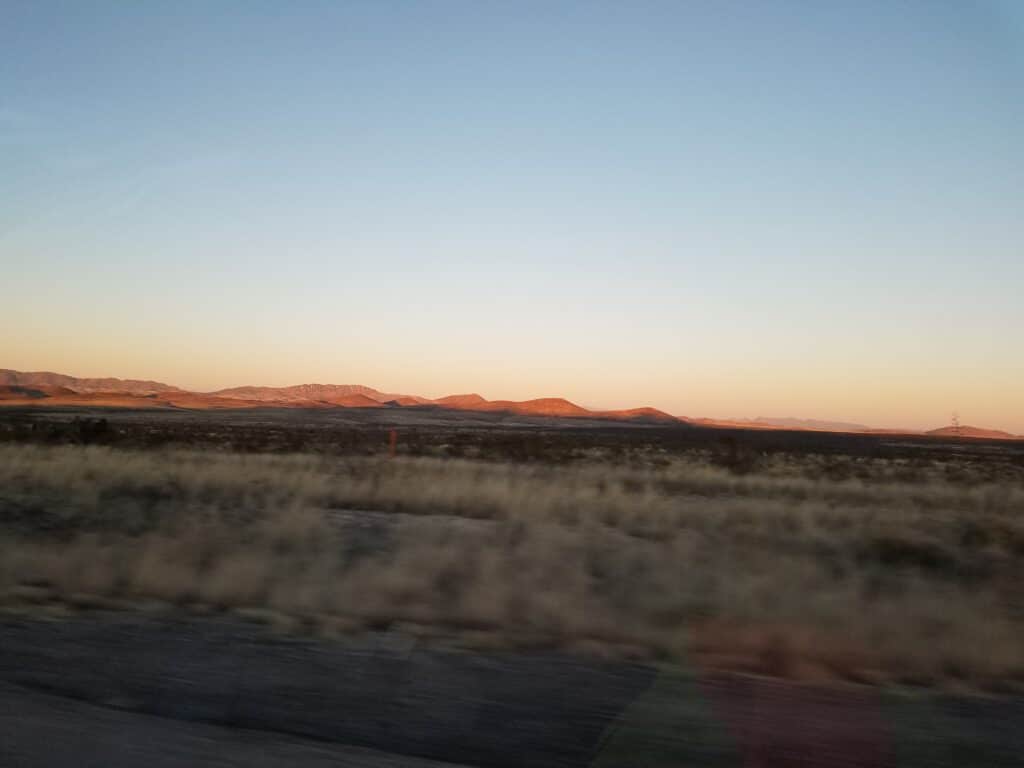
Desert sunrises are something to behold. The photo above doesn’t do it justice.
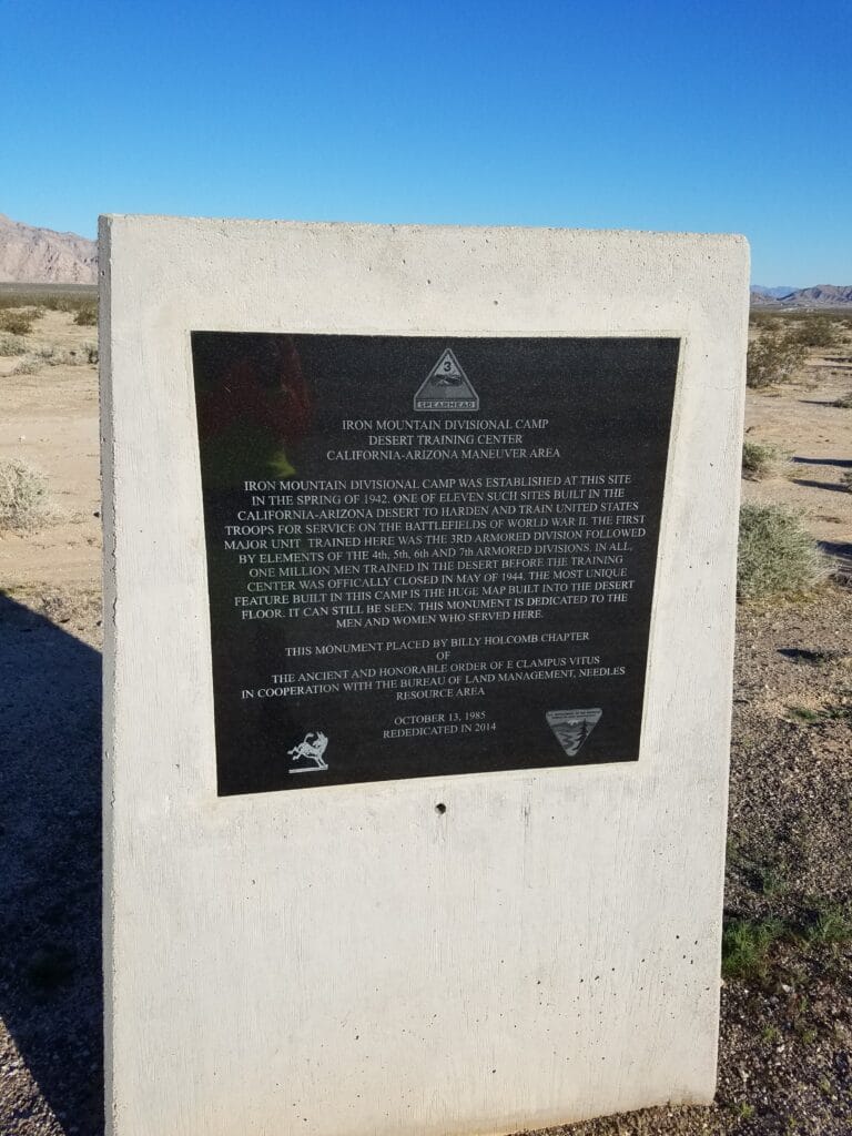
Just past the turn onto CA-62, I encountered the Iron Mountain Training Center, a big section of desert where troops had trained for possible desert deployment during WWII. It’s long since been closed, but it broke up the monotony and I was glad to see it.
Once on CA-62, I began to encounter a series of slowly rolling hills that wouldn’t have been a nuisance to run on except for the fact that in most places it was a 2-lane road and they were blind hills. I stayed as far away from the road as I could. In many places, the desert sands had blown over the road and the road was only visible behind and beyond. But the shoulders were fairly wide until just before the entry into Vidal Junction and its lone gas station about 17 miles outside of Parker. Gas there was somewhere around $5.00/gallon, which was more than double the price elsewhere
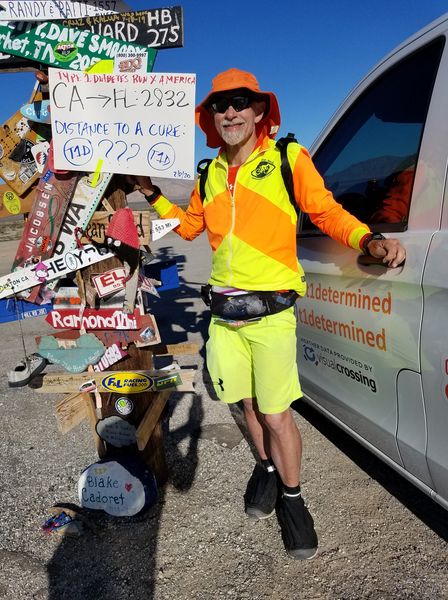
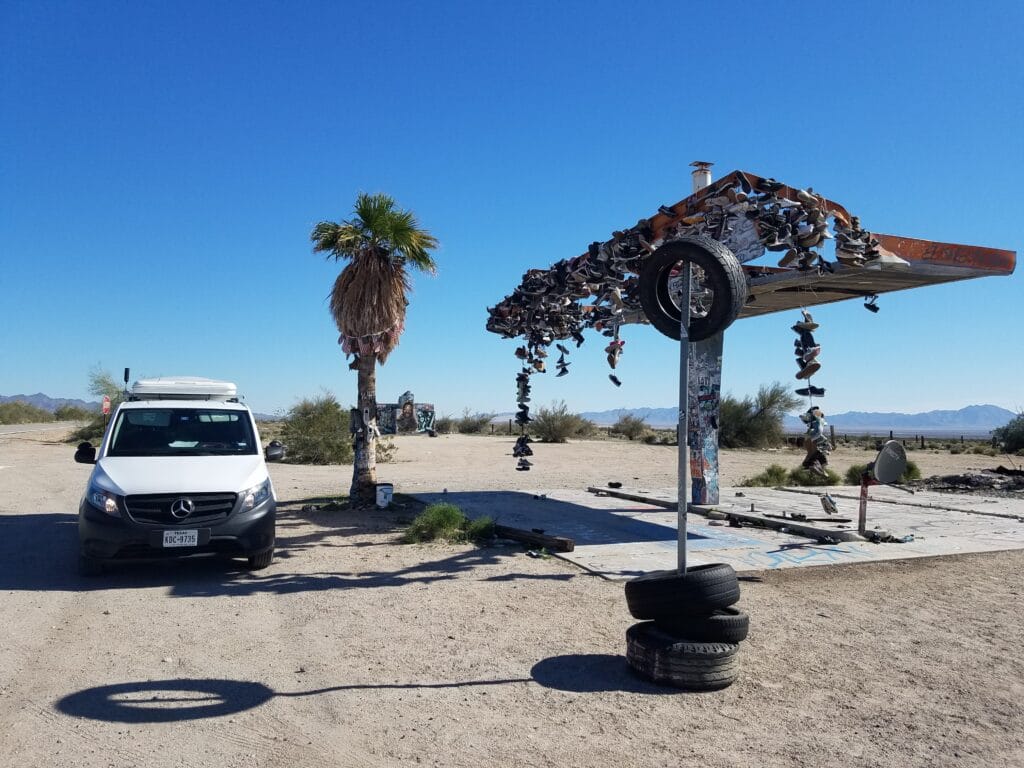
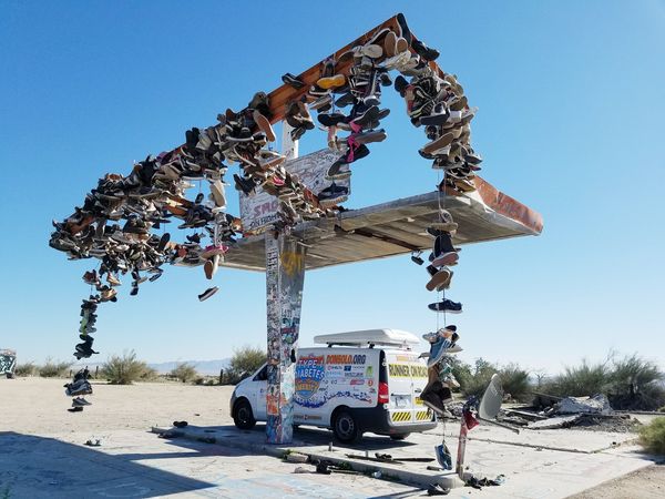
At around 3 PM I reached Rice, CA, the location of both the “miles from nowhere” sign and the famous “shoe fence” (shoe tree, shoe… structure?!) and some other oddities, including a long stretch of road just north of which was a section where people had spelled out messages in dark-colored rock against the light-colored rail bed. It was cool, crazy and weird, but it also felt a little bit like what you’d get if you awarded art installation slots at Burning Man to the lowest bidders.
We grabbed a snack at the shoe fence, took some photos, and moved on.
It was a bit of a stretch to actually make it to Vidal Junction, so we picked a landmark we could relocate on a map and decided to end the day at a RR crossing far enough west of Vidal Junction that it would make a reasonably full day running into Parker.
2/9/2020: RR crossing west of Vidal Junction CA to Parker AZ
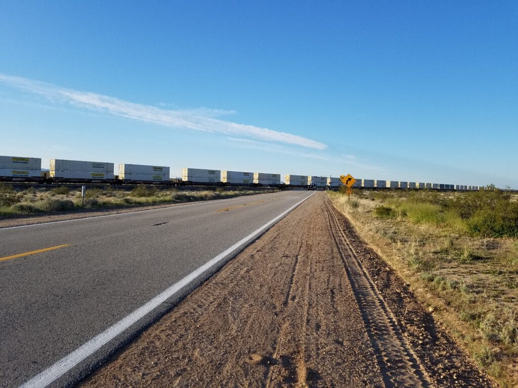
My train juju was nearly as strong as my porta-potty juju. When we reached the railroad crossing for the day start west of Vidal Junction, just as I crossed the tracks, I noticed a lo-o-ong train approaching.
At this point in the run, my feet were still doing okay, but I was starting to feel the accumulated miles. We had planned for a rest day every 10 days or 250 miles, whichever came first, and Parker, AZ was right at the 250 mile mark, give or take a few.
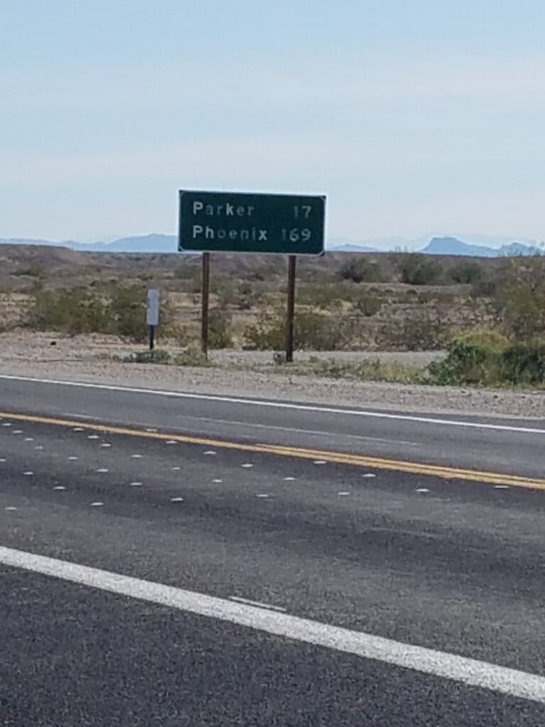
I started to see signs indicating that Parker was within a day’s running distance, and at once I felt both excited and exhausted. As a result, the day seemed to stretch out forever.
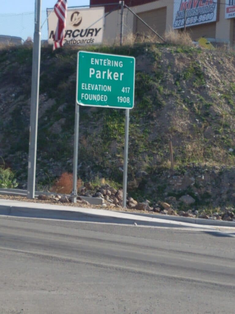
Just outside Parker, CA-62 turns onto CA-95, which becomes AZ-95. After crossing a long bridge at the Colorado River, I was back in civilization, ready to get out of my running clothes, take a long, hot shower, and eat the biggest entree I could find
2/10/2020: Rest Day in Parker AZ
After constantly suiting up, facing road hazards, and slogging out the miles for the last 10 days, it felt weird to be off the clock. Leslie and I stopped several times at Crossroads and did our best to fill me up with protein.
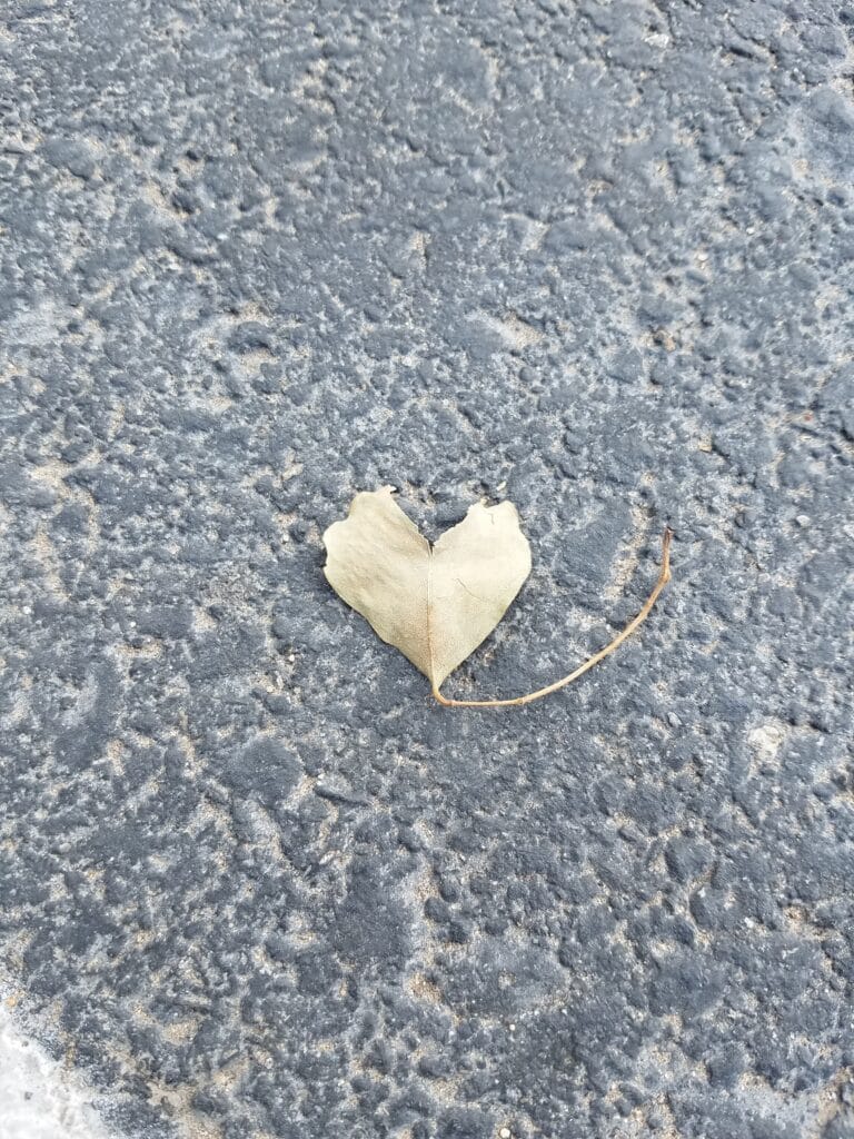
Leslie and I took a short walk around town just to loosen my legs, and I spotted a leaf that made me smile. We encountered Melvin Lee, the grandfather of one of my T1D friends, Michell Lee Scott, who turned out to be a pretty cool guy.
The rest of the time I slept at the hotel with my feet elevated and tried to rebuild some of what I had broken down.
Leslie had taken great care of my feet, and despite the constant thread of sand in my shoes, the desert gaiters had kept out nearly everything that might have caused me trouble. But I was beginning to wear the tread off my first pair of Inov-8s, one that I had taken to a cobbler who sewed a continuous line of Velcro around the shoes just above the sole. I was hoping I could make them last through Arizona at least, possibly some of New Mexico, and crossed my fingers at an outside chance they’d last me through west Texas.
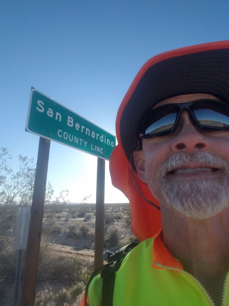
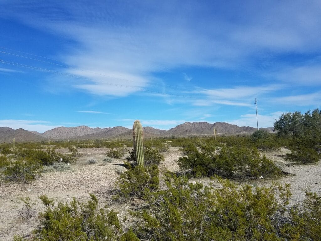
For the mean time, though, my well-taped and coddled feet were free of blisters and I had California behind me. I had crossed my first state in the USA run as well as the entire Pacific Time Zone. I had crossed the Mojave Desert on foot and was into the Sonoran and its ubiquitous barrel cacti.
I let that sink in while I dug into my steak.
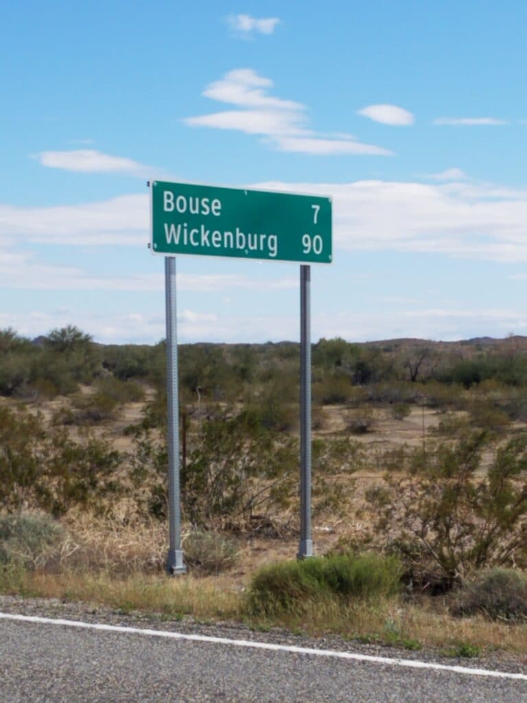
2/11/2020: Parker to Bouse AZ
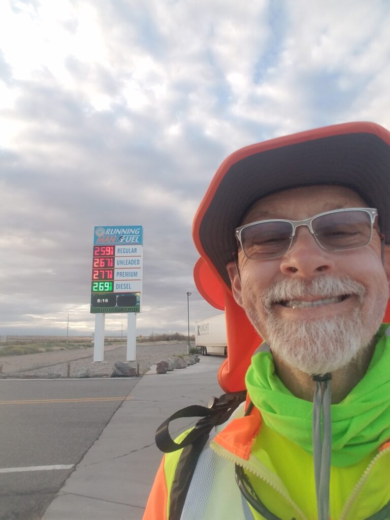
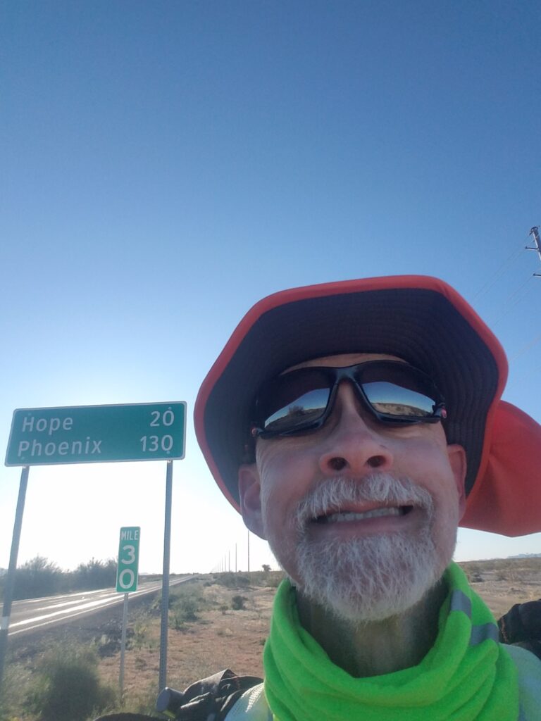
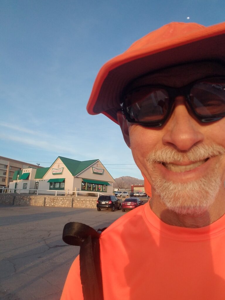
There was something about finally leaving Parker that stayed with me. As I headed east out of town past the Running Man gas station (of course I had to take a selfie!), I began to see a little more scrub, cactus, and clouds and a little less sand and unrelenting sun. I can only imagine what that sun would have been like during the summer.
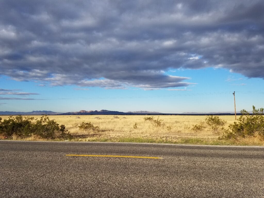
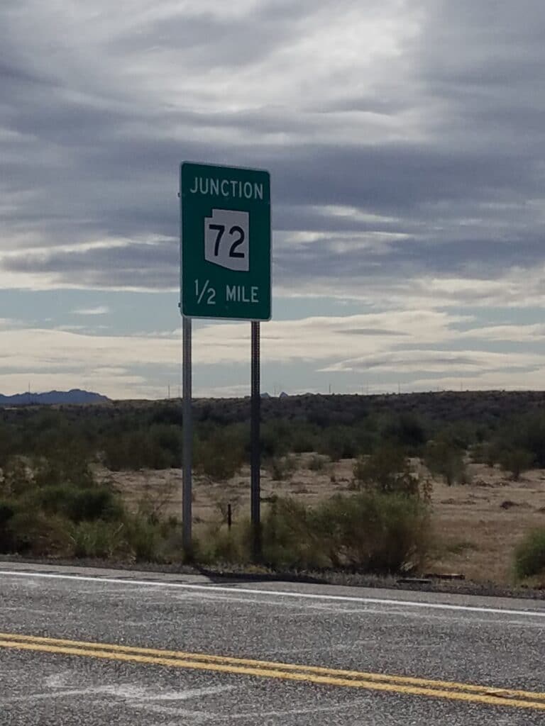
I set my sights on reaching the junction with AZ-72.
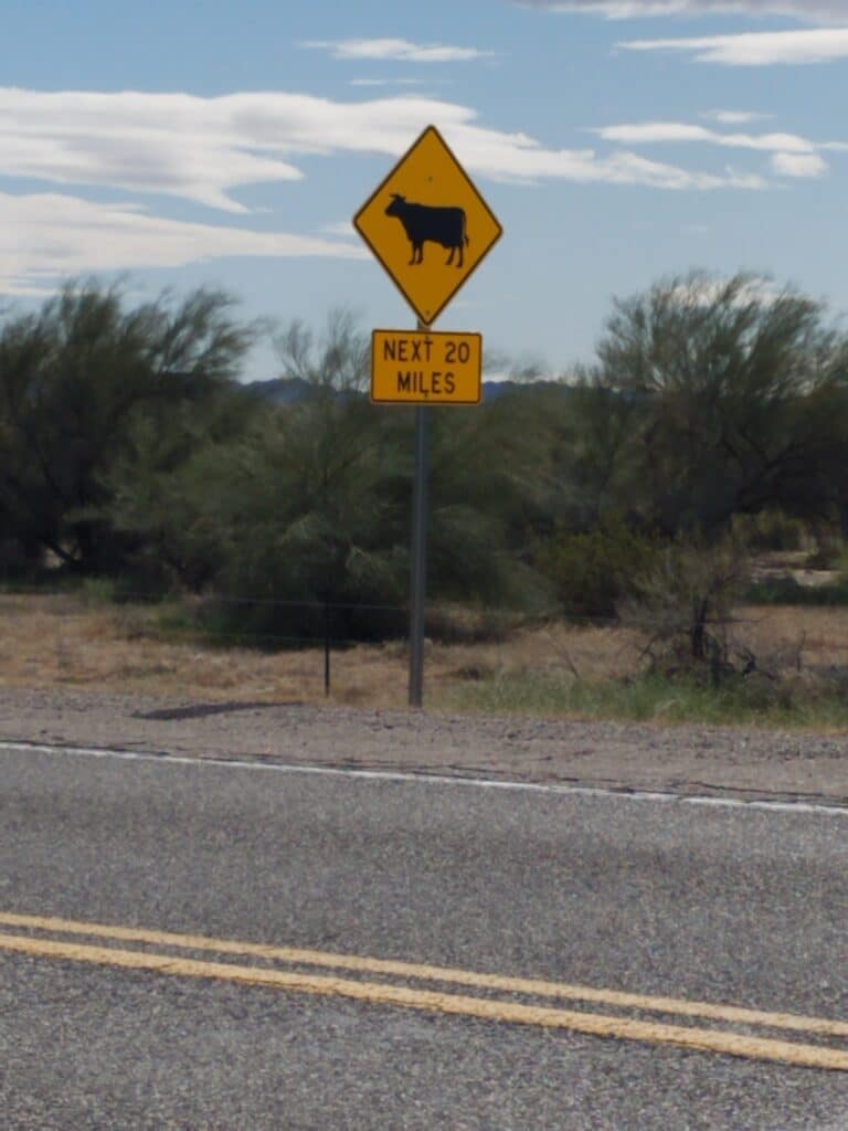
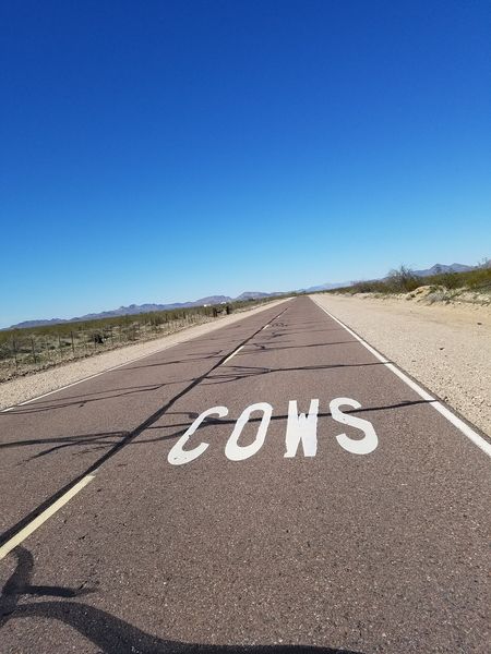
The landscape was beautiful. But as in the Mojave, there were few landmarks to establish where I was and where I was going next, so I began to lose track of time. The occasional road sign would inform me I was getting closer to the next town, and mysterious “cow” signs started showing up. And not just one. It was like a crazy person with a paintbrush and a bunch of road signs was desperately trying to warn us all of an impending invasion by bovines.
I realize the purpose of the signs was to let motorists know that there were no fences and to watch for cows crossing the road, but honestly, I don’t think I ever saw even one cow. In fact, the only cow I ever saw on this stretch of road was when I was looking at the road on Google Street View. And I imagine that cow was rather surprised.
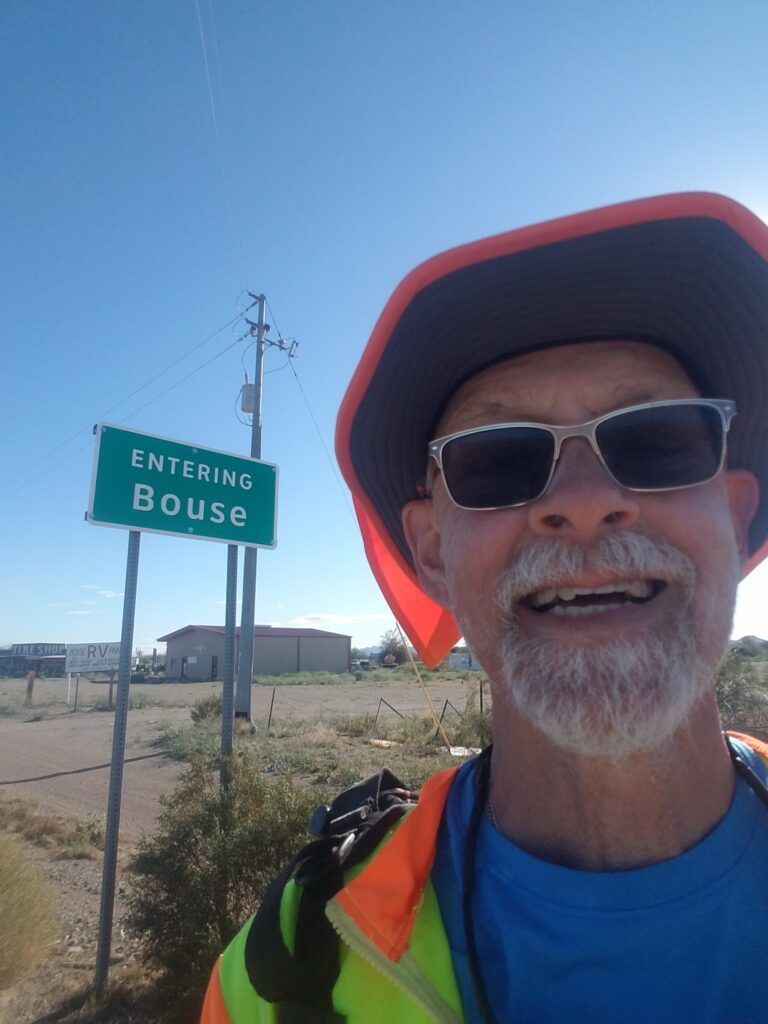
I reached Bouse, AZ and its little market / laundromat around 5 PM, a little over an hour before sunset.
Later that night, we returned to the hotel in Parker (closest accommodations) and I opened the care package my friends at Tandem Diabetes had given me in San Diego the week before the run. I was truly blown away by the warm, personal notes from the very real people who worked at the insulin pump company that kept my body alive.
The notes, however, kept my soul alive.
2/12/2020: Bouse to Salome AZ
The road heading out of Bouse was fairly busy. I had seen very little traffic the day before, and wondered at the reason for increased traffic. There were towns along the route called Utting, Bush Pit, and Vicksburg, but they seemed to exist only in the sense that they had a zip code. No general stores, not even a dilapidated or abandoned building to be seen.
Eventually the traffic waned as I got farther out of town.
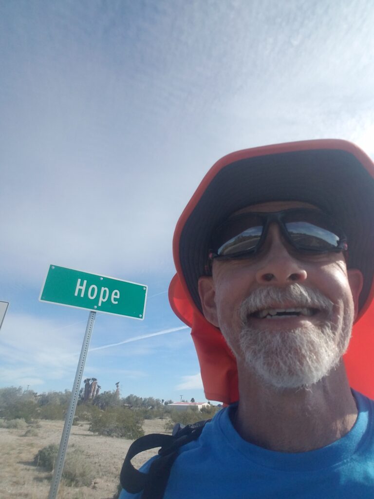
The day’s big excitement was finally getting off AZ-72 in Hope, AZ and turning onto US-60 and the road into Salome. At the junction, there is a sign announcing entry into Hope. There is also a sign just past the turn announcing that “You Are Beyond Hope.” I’m not a superstitious person, but at the time I thought it was bad juju to take a selfie in front of that particular sign.
The road headed toward Salome was blessed with relatively clear ranch roads of pack sand just a few yards off the highway. They made for fast running.
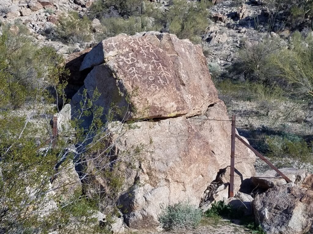
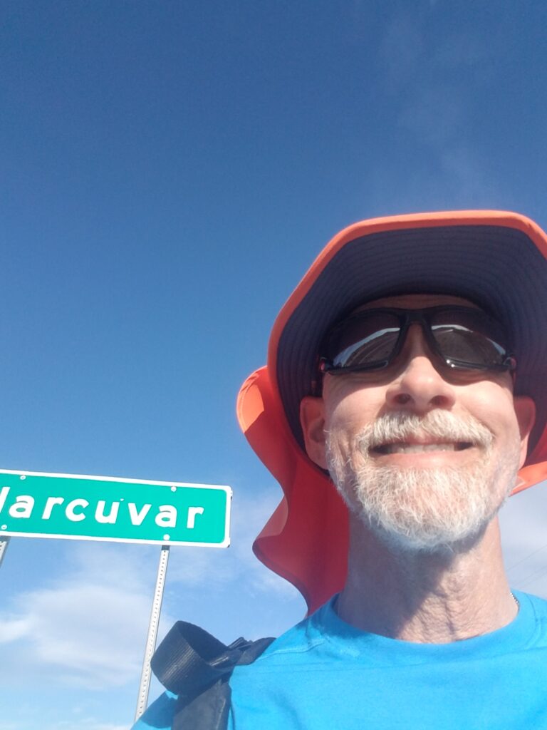
Around 5:30 PM, heading into Harcuvar, I was excited to spot a rock with some petroglyphs. It got my mind racing about who made them and how long ago, and the remaining 30 minutes or so into Salome flew by. Leslie and I stopped and had dinner at Salome Restaurant, then tucked into our spot at the RV park nearby, where we just happened to be parked next to where another transconner on a bike had set up his tent. But it was chilly and we were both too tired to talk much.
2/13/2020: Salome to Tonopah AZ
The next day was one of cloudless skies and unending roads. After making the turn onto Salome Road heading towards Tonopah, I encountered some serious thorn bushes. It was only after getting some stuck in the soles of my shoes that I realized they were everywhere across Arizona, new Mexico, and much of west Texas. But they seemed worst in Arizona.
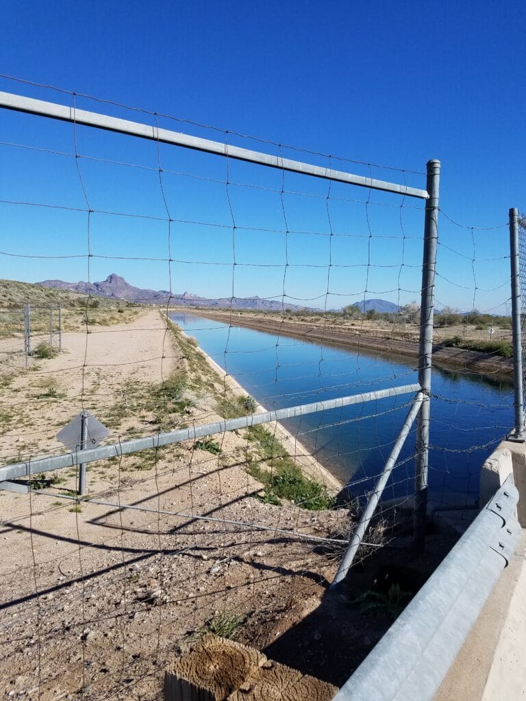
A few miles before we reached the intersection with I-10 where we planned to call an end to the day, we encountered an irrigation canal of some sort. The desert in that part of Arizona didn’t seem as well and thoughtfully irrigated as the area around Mecca, CA, and I wondered where the water eventually went.
Shortly thereafter, I reached the junction with I-10, beyond which Salome Road turned into a 7-mile-long dirt road that I planned to tackle the next morning.
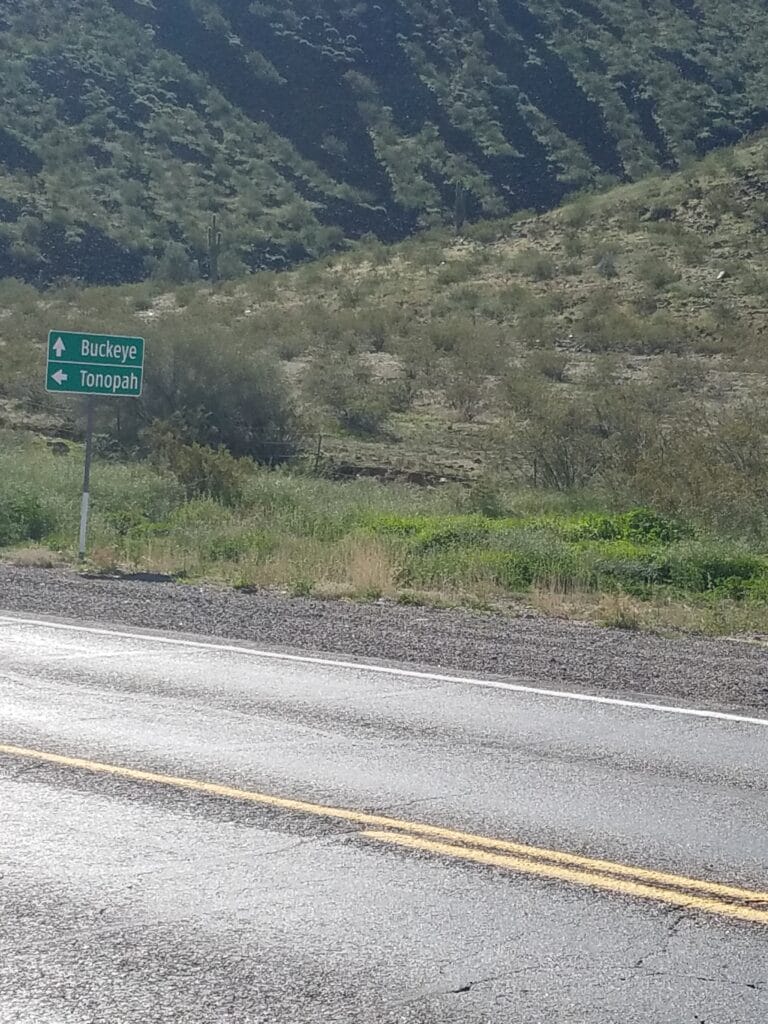
2/14/2020: Tonopah to Buckeye AZ
Salome Road heading out of Tonopah and toward the Phoenix area was mixture of dirt and pavement pockmarked with potholes that were difficult to see in the dark. Google Maps hadn’t created a street view for that section, and I had a few turns to avoid, so I walked a good chunk of it to make sure I didn’t run right past the few landmarks I had that were unambiguous from the satellite view.
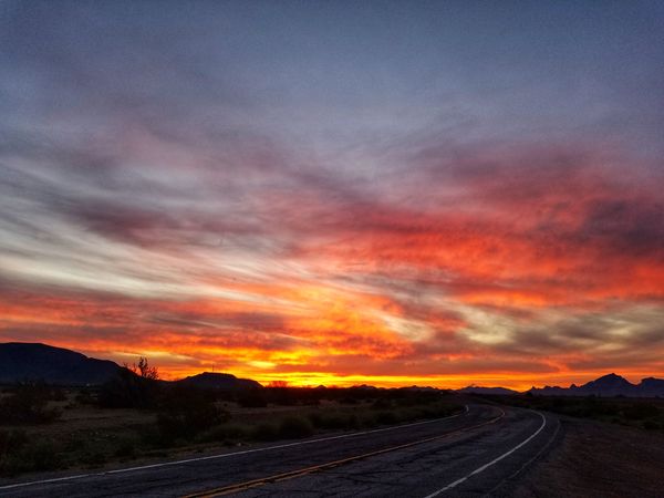
The sunrise was beautiful. The photos above are unretouched: it really did look like the sky was on fire, and I wondered if anyone else had ever taken the chance to watch it from this forgotten stretch of road.
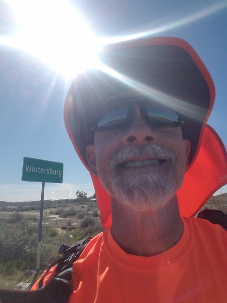
After seven miles, the pavement returned as I ran past signs for Wintersburg, past a lone house perched on a steep hillside, to the turn at Baseline Road.
Parts of Baseline Road had sidewalk, but that luxury was short-lived.
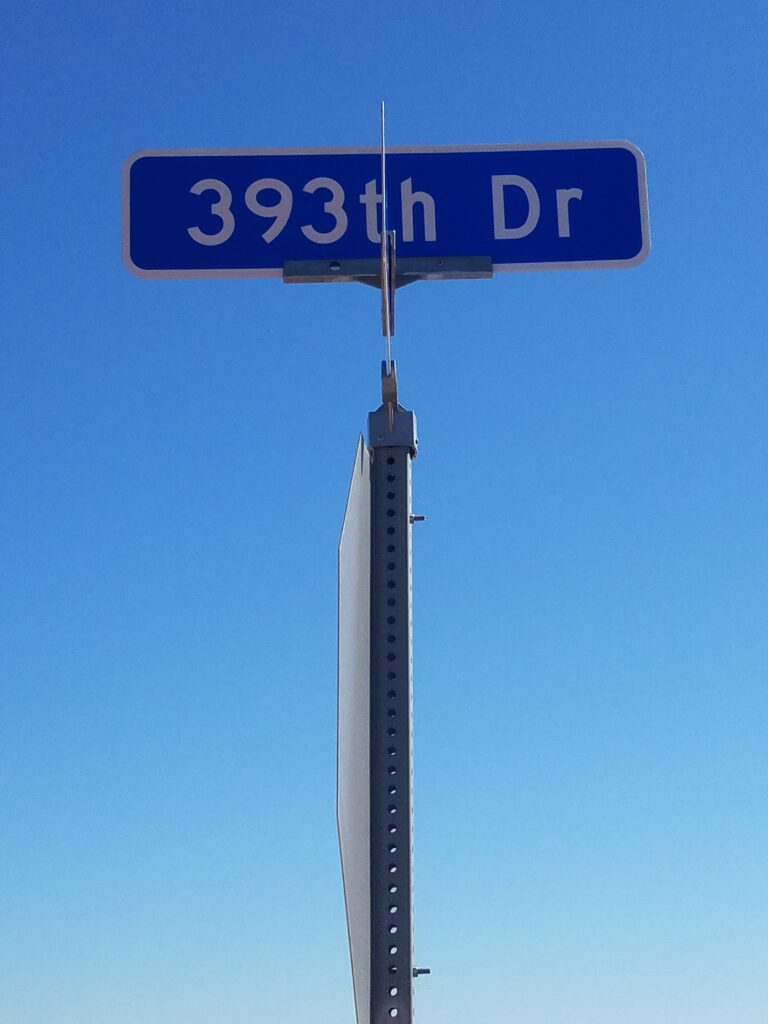
Baseline Road seemed to go on forever, and it wasn’t the quiet road I remember during our route scouting trip. The area around Phoenix seems to be expanding rapidly, and the road was not only choked with traffic, but the traffic was slowed by the fact that nobody seemed to have thought of installing signal lights. Nearly ever intersection was marked by a four-way stop that left traffic at a standstill.
I presume this was the fault of the same city planner who named one of the streets “393th.”
I ran the sandy shoulder into Buckeye, thankful that I was on foot, until we reached the Shell at the far side of Oglesby Road / Highway 85, where I slowed down a bit to make sure I didn’t miss Mikey’s Mini Mart and our official day’s end in Buckeye. The mini-mart looked a bit dodgy, so we agreed I’d run a little farther through a neighborhood to a building that said Roosevelt Irrigation District. The sun was already low in the sky and I was anxious to get to the hotel and get a good night’s sleep.
2/15/2020: Buckeye to Laveen AZ
The run from Buckeye to Laveen did not go as planned. It started off well enough, then got worse toward the end of the day.
Buckeye Road eventually T’d into MC-85, which I ran for a while. My porta-potty juju was strong as a neared a bend in the road where some construction was going on, and for the most part the shoulder improved.
I was joined in Goodyear by Martha Kennedy Kratchman and her husband John, who originally signed up to drive her chase vehicle and eventually ran with us, then back to the chase vehicle, then drove ahead, then ran back to meet us. He got a workout that day!
I rejoined Buckeye Road further to the northeast (see what I mean about it going on forever?), and crossed the Agua Fria River.
Rivers are weird in Arizona. They’re either there (flood season) or they aren’t. When they aren’t, you encounter bridges over bits of desert that make you think the city planners just had extra money and needed to spend it or lose it. It was dry season, so I just had to imagine the river was actually there.
Originally, our route took a turn on 91st Street and went past the wastewater treatment plant, then on some local roads for another six miles through Komatke, where I took the selfie with the discarded office chair, toward a gas station in Maricopa. Not long after that, I encountered a rather territorial dog, and a cop stopped by. I figured he was going to try to separate the dog from me or warn me about a road closure.
Well, it turns out that the not-very-well-marked road I was on was part of the Gila River Indian Reservation. The cop, who worked for the reservation, said I was trespassing.
That was the last thing I wanted to hear after running six miles past the wastewater treatment plant, but minus those six miles it had still been a 30 mile day.
What I really didn’t enjoy was spending the next four hours at the hotel completely redesigning the next three or four days of the route to avoid Indian lands while not losing sight of turn cues or landmarks such as gas stations, which represented restroom stops I genuinely looked forward to. I was already tired and badly in need of rest. But there wasn’t an option not to avoid the reservations, as some records -keeping organizations stipulate that a route may not make use of illegal or private roads, both categories that my Komatke excursion fell into.
It was harder than I thought, as a sizeable portion of Arizona is Indian lands. In fact, some of the US and state highways that cut across the state do so only by virtue of some rather tenuous easement agreements. A fellow transconner who had taken a similar route through the southwest told me to stay to state highways and stay on the paved shoulder–sometimes easier said that done. But that’s what I was going to have to do.
My beautiful 2800 mile route suddenly became a 2845 mile route. Since those extra miles came before my rest day in Marana (just outside Tucson), I resented it even more.
The Komatke cop had been right; and moreover, he had been polite, and I had no choice but to back my route up to the previous turn, not take it, and start the next day from where I had left off, heading east toward Chandler and Gilbert.
2/16/2020: Laveen to Gilbert AZ
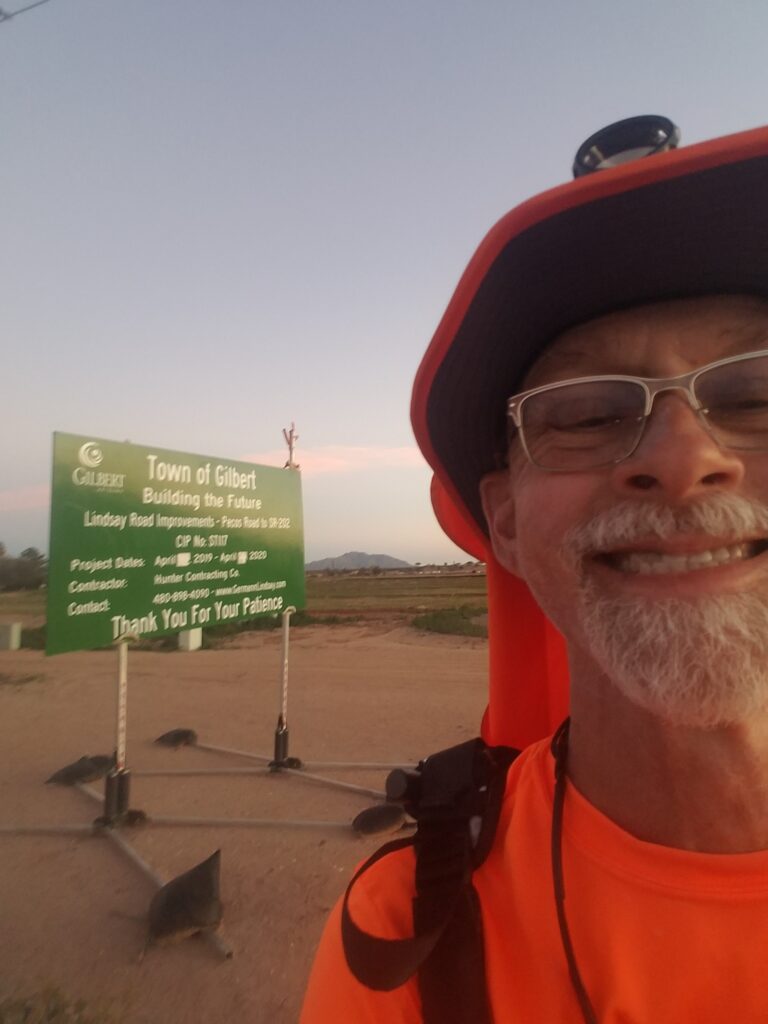
It turned out not to be so bad after all picking things up at Laveen and heading toward Chandler. Though the route was longer and added a little over a day, my new route had considerably more sidewalk and places to stop.
I continued along Baseline (see, it really does go on forever!) to just before AZ-87, then cut through a business park to avoid a busy intersection. It was somewhere near there that I ran into a fellow runner (not in his running clothes, though) who nevertheless ran with me for a mile or so. Then we went our separate ways.
After emerging from the business park, I turned right onto AZ-87 / Arizona Avenue and continued to Pecos Road. The road was nice, but the beating my feet had taken from the previous day’s 36-mile run, added to the current day’s attempt to make up for lost time, annoyed the bone spur in my left foot, and toward the end of the day, I was limping and very ready to be done with it all.
I stopped at the Circle K at Pecos and Val Vista, right around sunset, slightly disoriented due to the fact that I had seen the route only once, in Google Street View, in daylight lighting. It wasn’t the way I preferred to do things.
Just after sunset, I ran into my old high school classmate, Rick Elliott, who came out to greet us. Strangely, it helped my feet feel better.
2/17/2020: Gilbert to Coolidge AZ
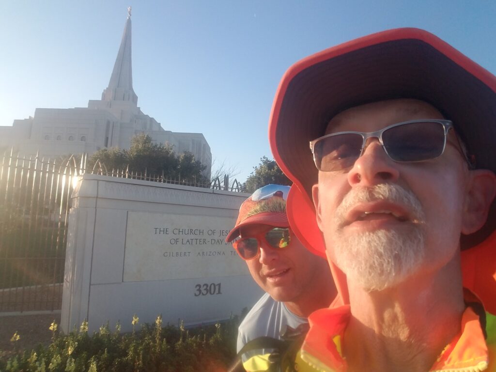
I was joined in Gilbert by Type 1 diabetic ultra runner Patrick Votruba, who ran a number of miles with me, then turned around and ran back.
I enjoy all the company I get when doing runs like this, but Patrick was a particularly great pleasure to run with. He knew type 1, he knew ultra running, and he was one of a small number of people who could conceive of what I was doing and why it meant to much to me to do it. He also seemed to be well-acquainted with watching for road hazards.
I didn’t have to think about anything on his behalf. We just ran, for the pleasure of running despite all the inconveniences and downright horrors that type 1 sometimes adds being athletic. We talked about everything until the good running shoulder an out miles later and going farther would have just put him in more weeds or sloped shoulder.
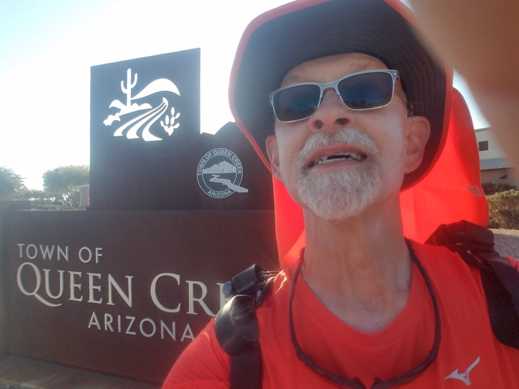
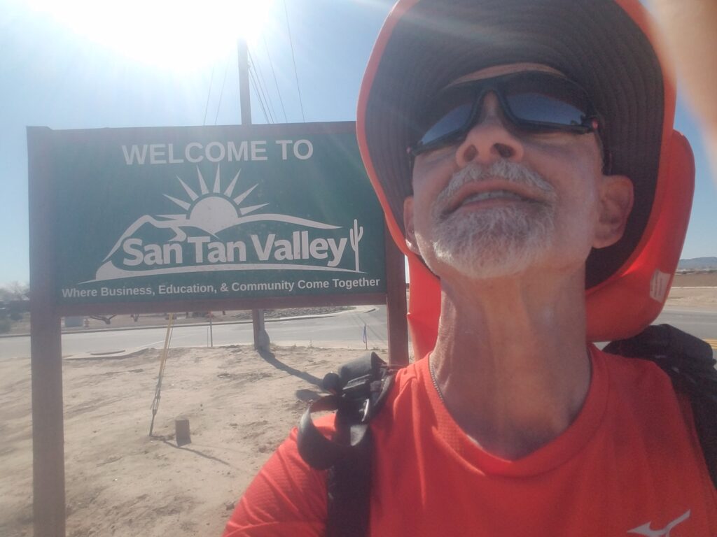
I followed Pecos Road to Power Road, then Rittenhouse, and things quickly got rural again. I hoped that by taking Rittenhouse through Queen Creek and San Tan Valley, I could avoid running into issues with crossing Indian land, which I was now quite jumpy about due to the scarcity of options that didn’t involve Interstate or major highways. I was especially concerned about Florence and the area just outside of Coolidge, because it seemed desolate, just the kind of road I probably wasn’t supposed to be on. But nothing happened, and before long I was across the Gila River and on AZ-287, the Florence-Coolidge Highway.
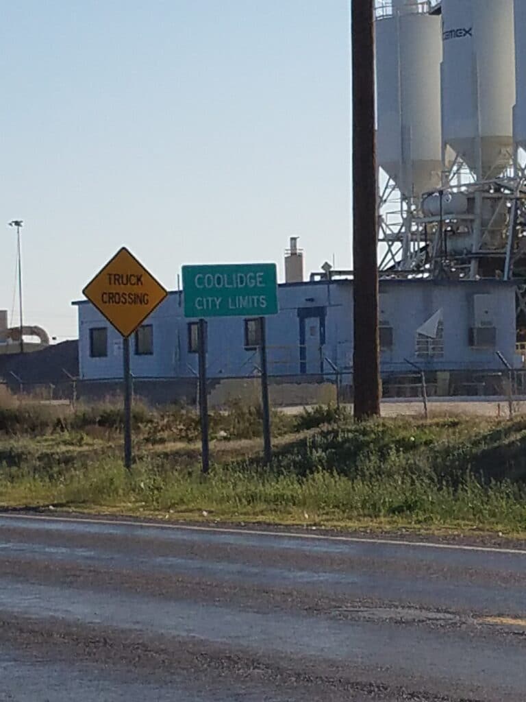
I had deliberately made each day out of Laveen a little longer than I had wanted, in hopes of making up the lost day. AZ-287 was a bit busy, but I’ve seen worse, and the shoulder was good. I picked up my pace a bit in an attempt to make it into Coolidge before sunset.
The last obstacle was a bridge just before entry into Coolidge. It had an adequate shoulder, but not a wide one. I was sorely aware that if I tripped and fell, I would most definitely fall into traffic, and accordingly, I stayed close to the guardrail.
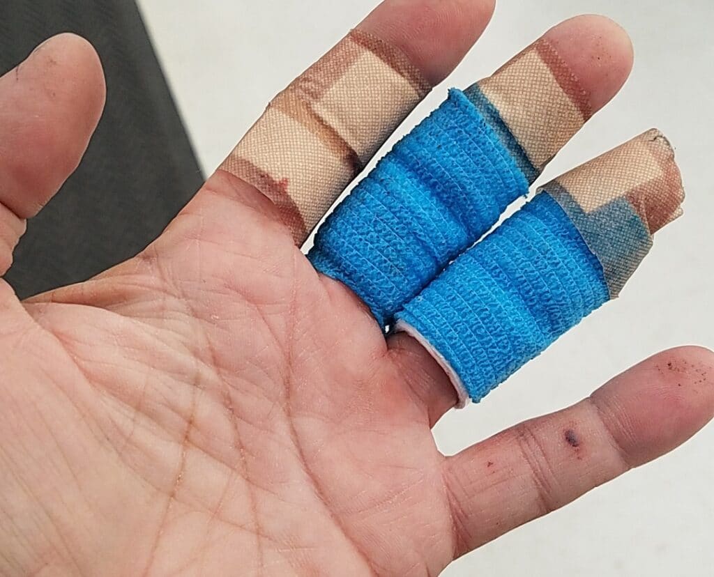
Unfortunately, that’s where most of the accumulated road junk, including broken bottles, retreads, and loops of wire seem to settle. As I crested the bridge, I tripped in a loop of wire and instinctively reached for the guardrail with my bare left hand. The back of the guardrail was extremely rough and took the palm-size skin off three of my fingers.
I wrapped a handkerchief around my hand and squeezed like there was no tomorrow. When I reached the van by the WalMart about a mile away at the day’s end marker near the Casa Grande Ruins, my fingers were already swollen and I didn’t want to let go of the handkerchief. I could tell they were going to be swollen for a while, and that this was not going to heal quickly.
Leslie went into the WalMart to get some bandages, Neosporin, saline wound wash, Curlix, and other first aid supplies, and I dealt with the painful task of pulling my wedding ring off over raw flesh.
Many thanks to my friend Noggy David Jaen for the Mupiricin Rx. It helped.
2/18/2020: Coolidge to Wymola AZ
AZ-87 was rather rural heading out of Coolidge, and as we continued onto AZ-587 and got closer to the Interstate and the frontage road I planned to run on rejoining our original route, despite the injury to my hand, my nerves calmed a bit.
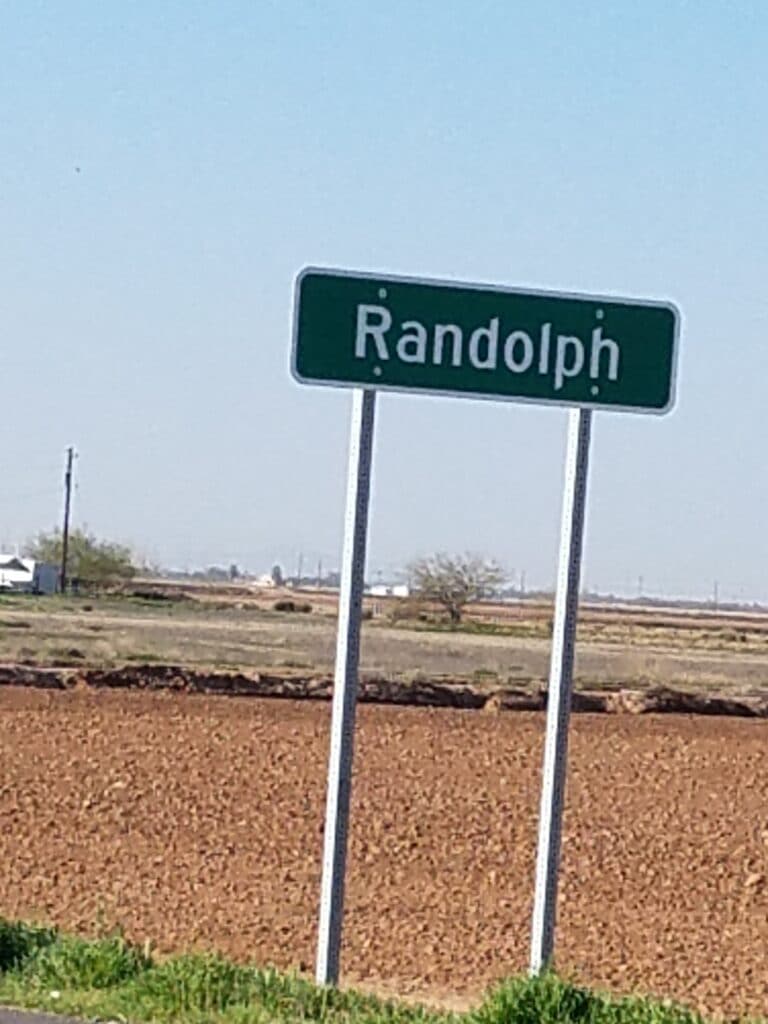
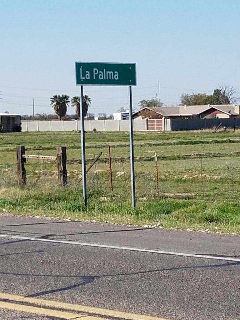
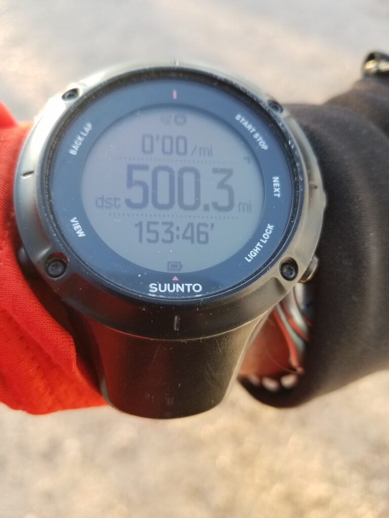
The road was very quiet as I ran through Randolph and La Palma. Once we passed Eloy around mile 500, rounded the road past the Picacho School, and reached the Shell station in Wymola around 5:45 PM, I started to feel less like I’d get stopped for being on the wrong road.
Along the road I saw a couple riding their bikes, and smiled at the thought that I might be returning to developed areas pretty soon. I was anxious to get in my second rest day.
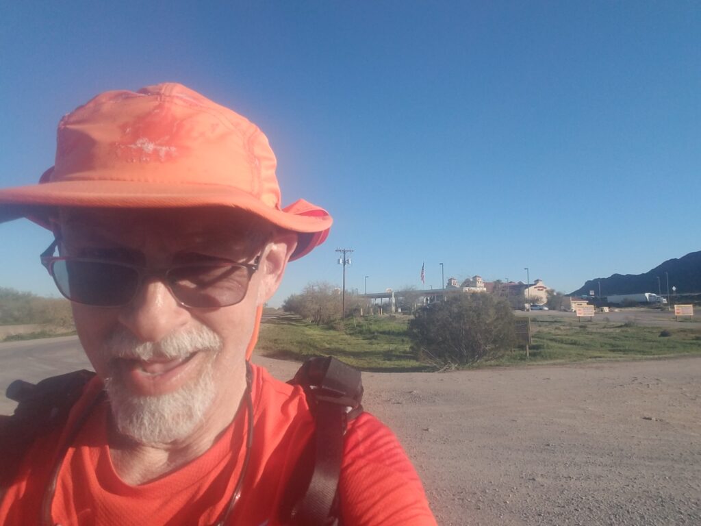
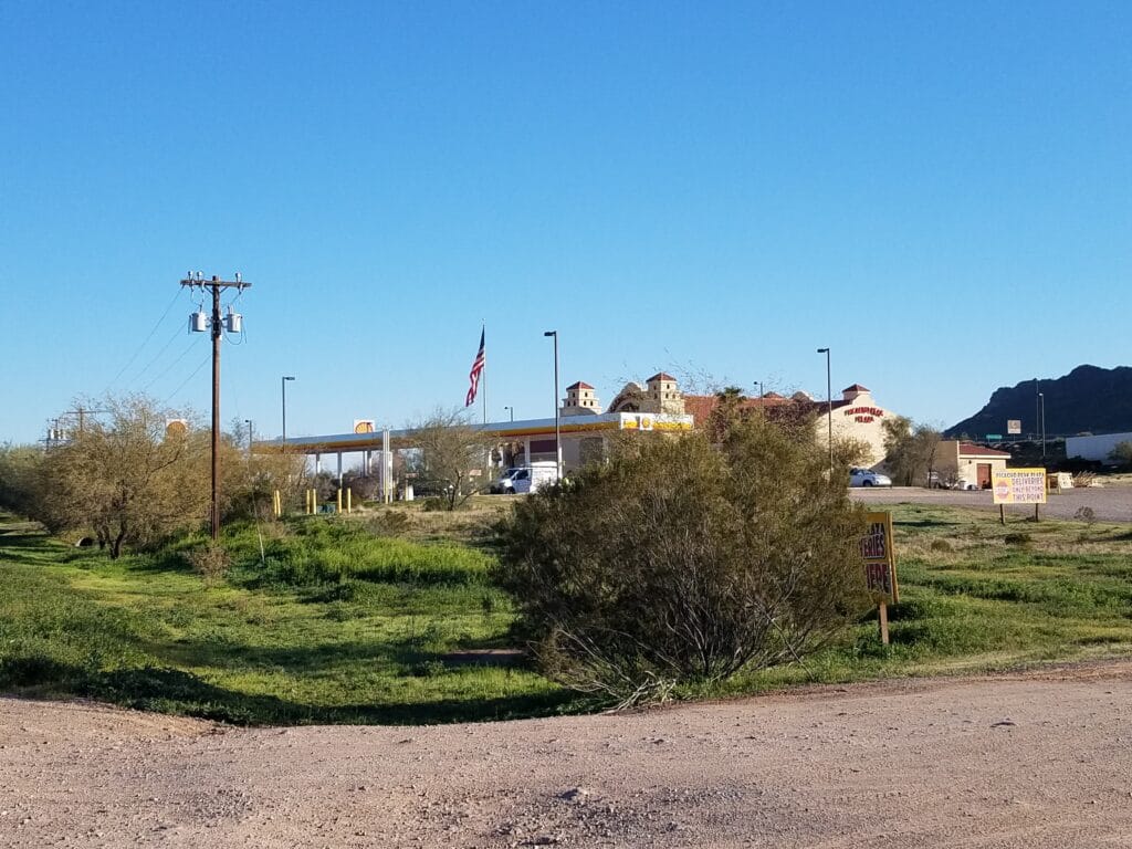
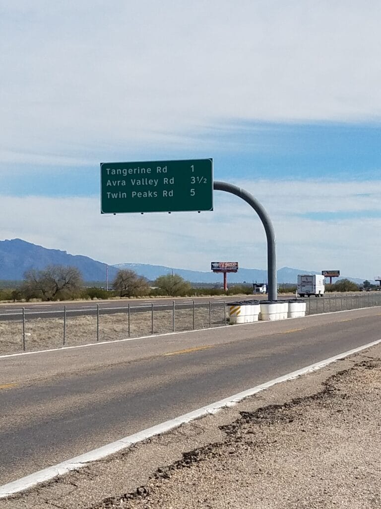
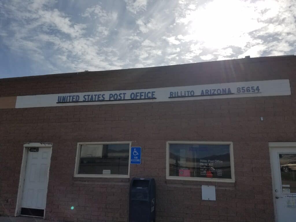
2/19/2020: Wymola to Rillito AZ outside Tucson
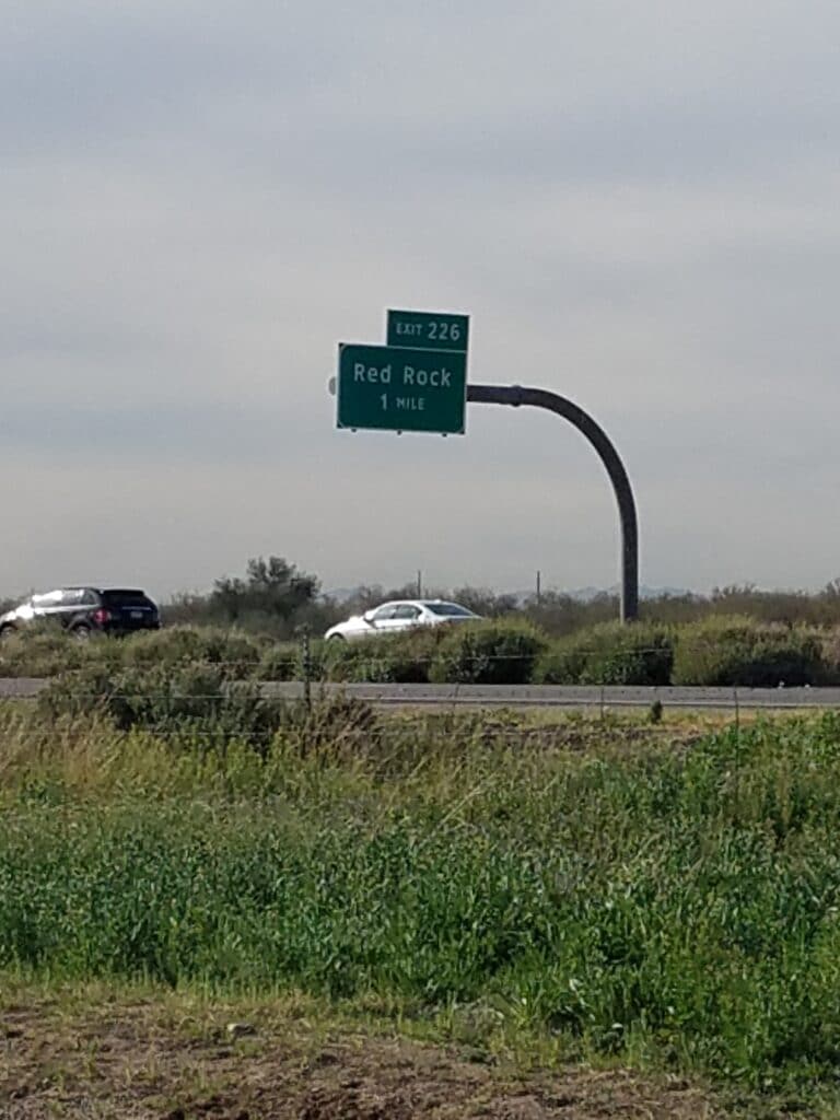
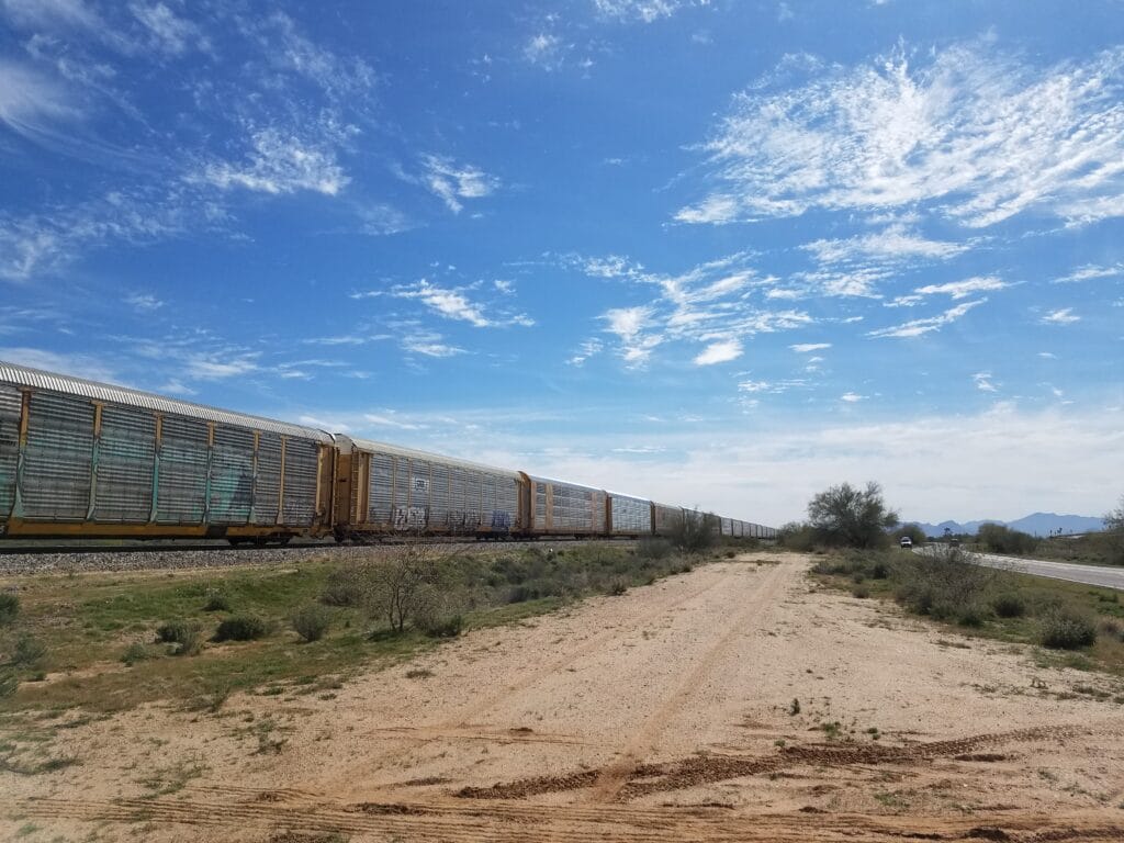
Despite the near-brush with civilization at the Shell station, the area around the Interstate frontage road was still pretty rural as I passed a sign for Red Rock. My route paralleled a railroad line, and occasionally a train would pass by. They were wonderful to look at, but also distracting, as they took my attention away from the road and masked traffic noise.
The shoulder was quite narrow in places on the frontage road, and I found myself looking for long stretches of packed dirt parallel to the road, where I could run undistracted and avoid thinking about traffic for a while.
As I got closer to Marana, I had to cross under the Interstate because the road became one-way heading toward me, and it made it difficult for Leslie and me to meet up.
As I got to Crossroads Trail and then Tangerine outside Rillito, I could tell I was nearing the developed outskirts of Tucson. There was a cool, shaded, blissful stretch running past a cement facility, whose stone entrance I sat down on for a water break. A little bit after that and I was in the suburbs, and nice houses and sidewalk were the norm.
As we reached the QuikMart at Coachline and Silverbell, I decided to push the miles a bit and get my day-end marker as close to the hotel as I could. I ran to the Walgreens at Silverbell and Cortaro, stopped my timers, packed into the van, and headed for Texas Roadhouse and our nearby hotel.
2/20/2020: Rest Day in Tucson AZ
At the hotel, I ran into the couple I had met on the Interstate frontage road who had been cycling. We chatted a bit at breakfast, and they were off cycling again.
Later that morning, I got a sports massage, which was a mixed blessing. I really wanted the knots out of my calves, but I also really wanted sleep. My muscles were so tight that I really couldn’t doze off on the table, and a good chunk of the time I was on edge. As soon as the therapist left, I took a nap.
Something to know about is that after lots of aerobic activity, you can become insulin sensitive. Blood sugars can drop precipitously, as they did in Odessa during my run across Texas. You can pass out, and if very unlucky, not wake up.
It must have been a very deep sleep, because I awoke to Leslie’s concerned voice–she had been trying to wake me up for 10 minutes. I tested my blood sugar and it was far from low.
My conclusion was that I had probably actually fainted from exhaustion.
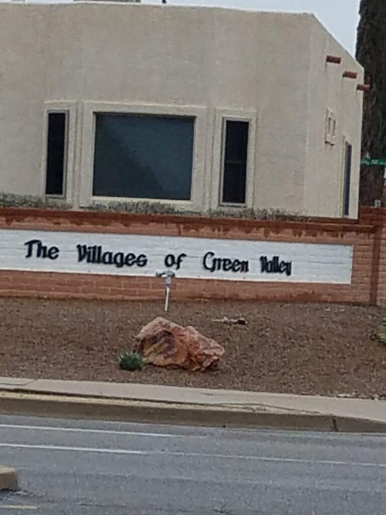
2/21/2020: Rillito to Green Valley AZ
From Rillito down Silverbell to the turn at the hospital into Tucson and a couple of turns that put me onto 6th Avenue, I was happy to be running in a metropolitan area with sidewalks. South Tucson seemed a bit seedy, and once I was approached by a disturbed-looking person who had a Moses-on-the-mountain look in his eyes and talked in a stream of consciousness about my bright outfit. As I passed Children’s Hospital, a man approached and asked about the run and where he could donate.
Just before exiting Tucson, I noticed there was some kind of rodeo going on on the eastern side of the road. The sidewalk had been coming and going, and the pavement was getting iffy, and I tripped and fell full-force on my elbows. Now if you’re keeping track, this was on top of the previous injury to my left hand, and I felt pretty bruised and a little more than cursed when I got up.
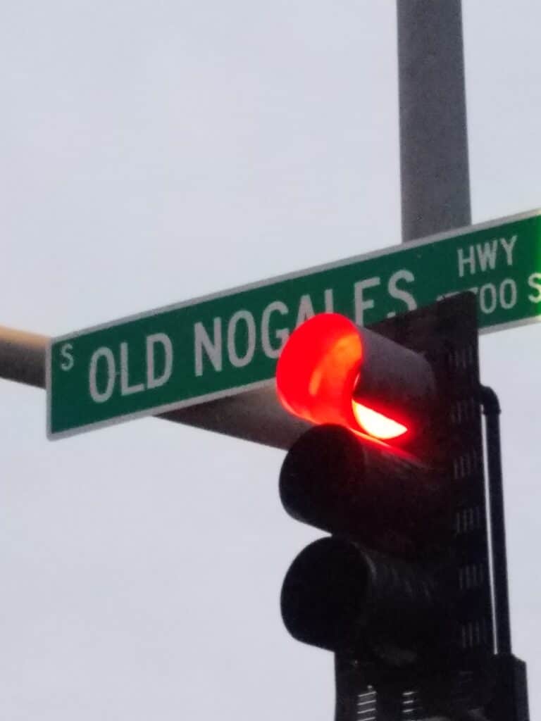
Once outside of Tucson, the sidewalk gave way to shoulder again and 6th Avenue turned into Old Nogales Road.
Somewhere along the way I ran into Steve Henry, who has both Type 1 Diabetes and Cystic Fibrosis. Not everyone realizes it, but if you have one autoimmune disease, there’s a good chance you have another. The only question is how it’s going to be living with more than one autoimmune disease. The most common are conditions like Hashimoto’s, Sjogren’s or celiac. But CF is an auto-immune disease also, and it sucks all by itself.
Let’s just say that Steve has an Iron Will. Since the road shoulder was already difficult to navigate and CF challenges Steve’s breathing, we walked for some time, about three miles if I remember, and it was some of the best fellowship I’ve had.
I had planned on ambitious mileage running all the way into downtown Green Valley, but it was getting cold and the sun was going down, and under the cloud cover that had been building all day, I made it as far as the stoplight just outside town, beyond which the road narrowed and crossed ravines, with little room afforded by the guardrail.
It felt like a wise decision to cut the planned 36-mile day to around 30 and call it a win.
2/22/2020: Green Valley to Nogales AZ
I picked up running again the next morning at the stoplight, and the run into Green Valley, while a little chilly, was pleasant in the daylight. However, the forecast called for rain, and I kept watching the sky, wondering when it was doing to hit.
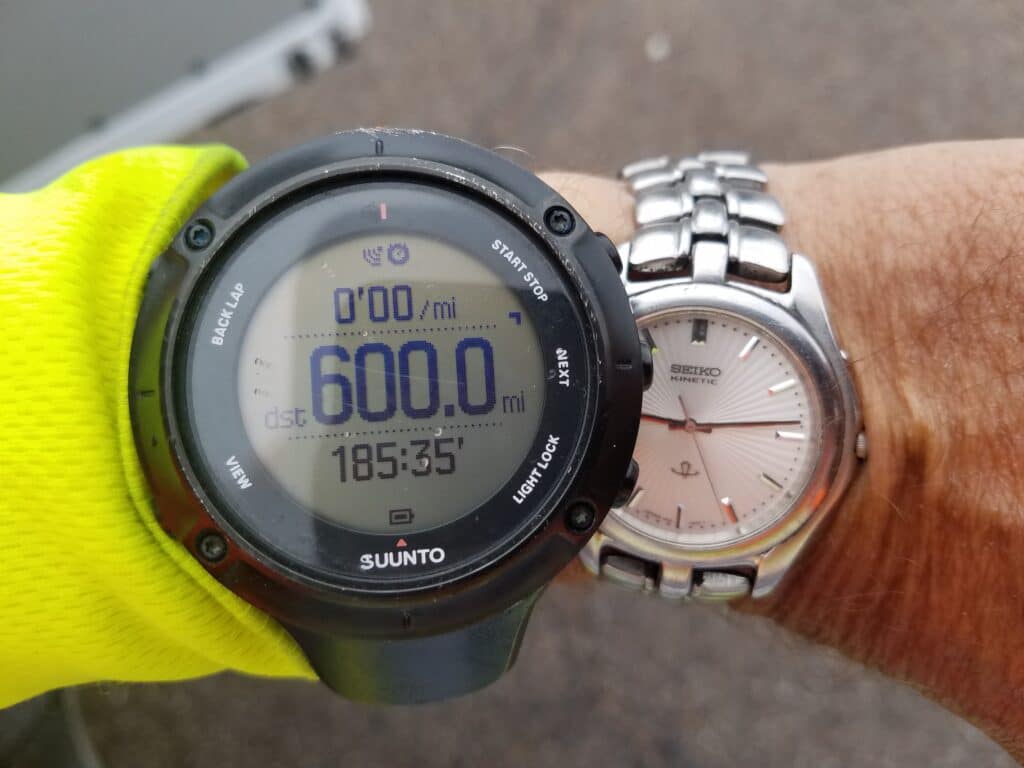
I hit 600 miles. I would learn to treasure that photograph, because just over 20 miles later, due to a bug in Suunto’s software for the Ambit 3, the watch spontaneously stops recording workouts at 1000 kilometers, approximately 625 miles. It did so faithfully the very next day, February 23rd.
I was concerned about how things would turn out near Amado; specifically, just south of Agua Linda, where on both sides, the Interstate frontage road gave out, and there was a Border Patrol checkpoint.
I had noticed on Google Maps Street View that the section of road in question had a sign directing where bicycles should go, and I thought there was a good chance that the short 1-mile section of Interstate might also be pedestrian legal.
In fact, it was. Nevertheless, I scurried as fast as I could and as far from the road as I could to get to where the frontage picked back up.
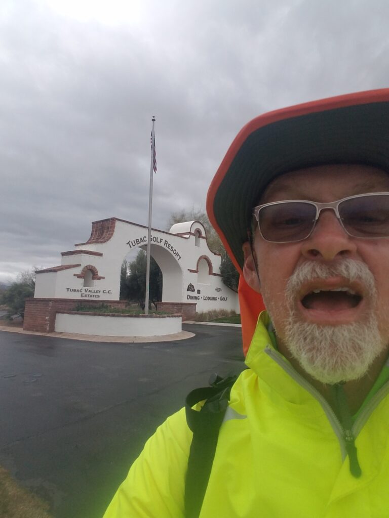
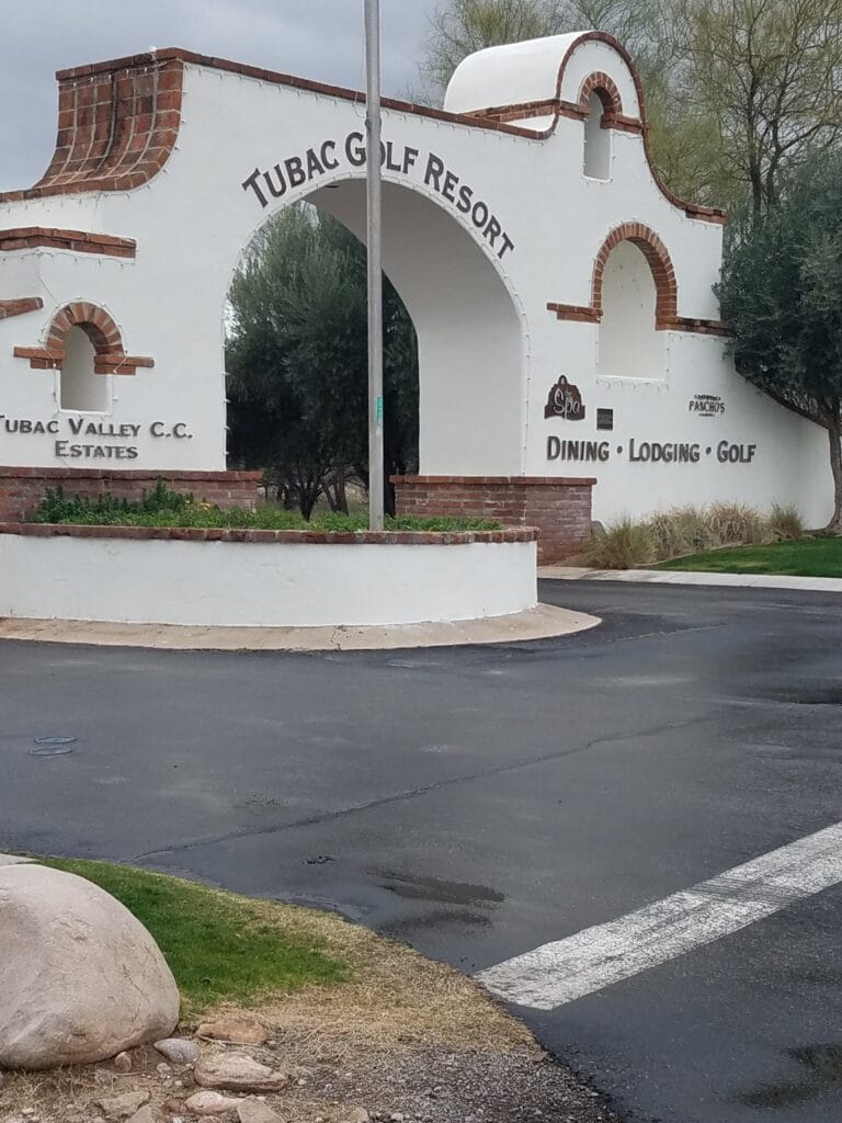
A little further south, near Tubac, there was a golf resort. It was a Saturday, and traffic near it was pretty constant. The frontage road that ran past the club was two-laned, with no shoulder and a steep slope, forcing me to walk through the soggy, tall weeds on the uneven slope next to the road.
Getting past the golf course was a pain in the butt and seemed to take forever. Moreover, the clouds were starting to look ominous.
Leslie and I have a rule: I’ll run in rain, but not in thunderstorms; so the question was whether it was going to storm or just rain. You could feel in the way the temperature dropped that it was going to rain soon.
Sure enough, somewhere between Tubac and Tumacacori, the bottom fell out.
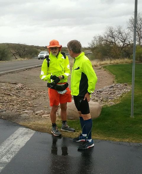
I was joined by runner Gary Bochman, who ran the next several miles with me in ordinary running gear.
I was, as always, grateful for his company, since it made the time fly by. And I didn’t want to say a word about how soaked and miserable I felt.
The rest of the run into Nogales was uneventful, and thankfully, dry. As soon as I could, to avoid a dangerous snarl of merging highways north of Nogales, I got off onto Palo Parado and then Pendleton Drive, stopping at the intersection with 289, which heads to a Pilot truck stop near the Interstate.
It was with some resignation that I paused there for the day. I could tell by now that I was not going to make up mileage by trying to run 36-40 miles a day, and resolved going forward to just try to get in 30-33 miles and stop at some place I could find again on Google Maps upon heading out from the hotel.
2/23/2020: Nogales to Patagonia AZ
Having one of my GPS watches stop recording and refuse to record another workout was jarring. But I’d learned to get used to that kind of thing, and at the time I felt that I could just retrieve the first 625 miles from the watch when my run was over and I’d at least have that for documentation. I was concerned with the Err 12 codes that kept repeating in the workout log after it had stopped, a sign of a corrupted workout.
But while not as accurate as the Ambit 3, my Suunto 9 baro was still working, as was my Garmin InReach GPS beacon, which recorded my progress live online for others to watch.
Running the remains of Pendleton Road went reasonably well. The road was poor quality and hilly, but it emerged onto AZ-82 east of Nogales and avoided a lot of traffic.
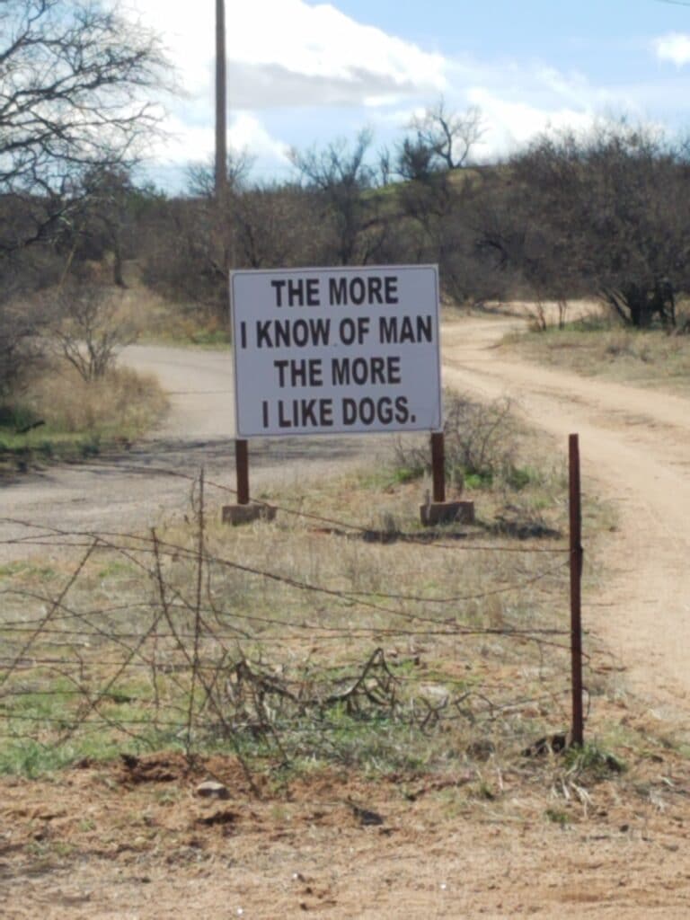
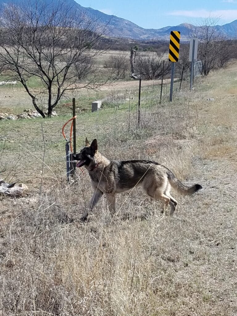
Somewhere before the turn, I noticed a sign saying “The more I know of man, the more I like dogs.” Then I met a rather lost-looking German shepherd without a collar, whom I nicknamed Dogales, since I had seen him just outside Nogales. Dogales was friendly and playful, but he started to act anxious the longer we ran, and I sensed that maybe he had lost track of where he lived, though he wasn’t sure how far back on the road that must have been. I gave him some water to drink, and eventually, he turned and headed back.
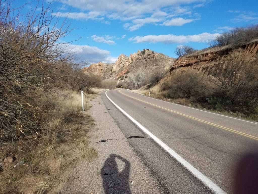
Once outside of Nogales, AZ-82 started to turn narrow, with narrow shoulders. During our route scouting, I had been somewhat concerned about running such roads, but I had chosen the route through Nogales and along AZ-82 over an alternate route out of Tucson along AZ-83 through wine country, because by my best estimation, AZ-83 had 20-30 miles of blind hills and some pretty steep dropoffs, and the road outside Patagonia had maybe six or seven that I was concerned about.
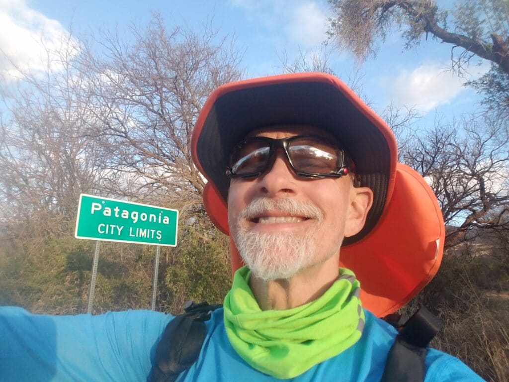
Once I got past a somewhat narrow canyon, the shoulder improved a little, and in the hilly area just west of Patagonia, it widened considerably and was pleasant to run, or would have been if not for the rolling hills. I tried not to look uphill unless I heard traffic, and enjoyed the boost I got going downhill. The day was getting long in the tooth and I was starting to feel a little chilly, so I ran faster.
As the sun headed down over the horizon and I took my last selfie before entering town around 6:15 PM, I looked down at my gloves.
They said Patagonia.
2/24/2020: Patagonia to just past Sonoita AZ
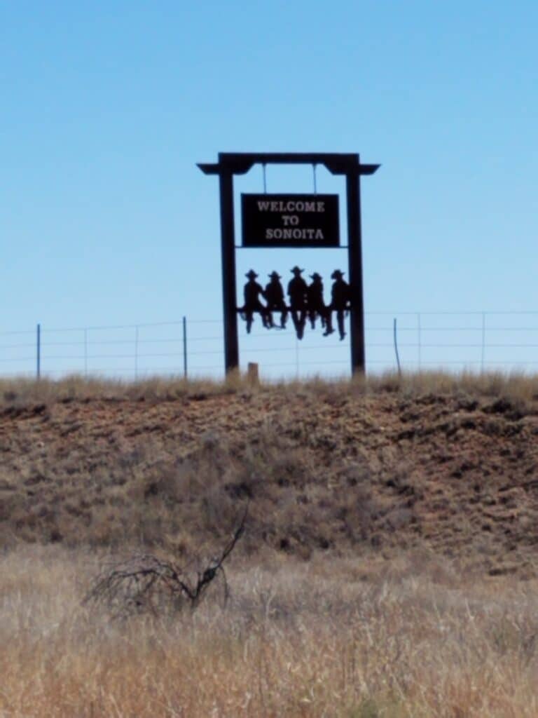
At 2 in the afternoon just outside Sonoita, I met two people, neither of which knew each other. One was Elaine, who was staying in the same hotel, Sonoita Inn, that Leslie and I were staying at. She had come to the area to enjoy some cycling, which is apparently fairly common in that part of Arizona. The other was a fellow transconner on a Surly Long Haul Trucker, heading west. I recognized the type of bike by its distinctive steel frame design and panniers. I waved him down and we exchanged greetings and well-wishes.
Elaine ran with me for a while until the road got iffy again, and I believe I saw her later that day on her bike, when I also met a number of other cyclists.
One asked me how far I was going and where I had started. I said, “2800 miles. Los Angeles.” She gave me a fist pump in the air and rode on.
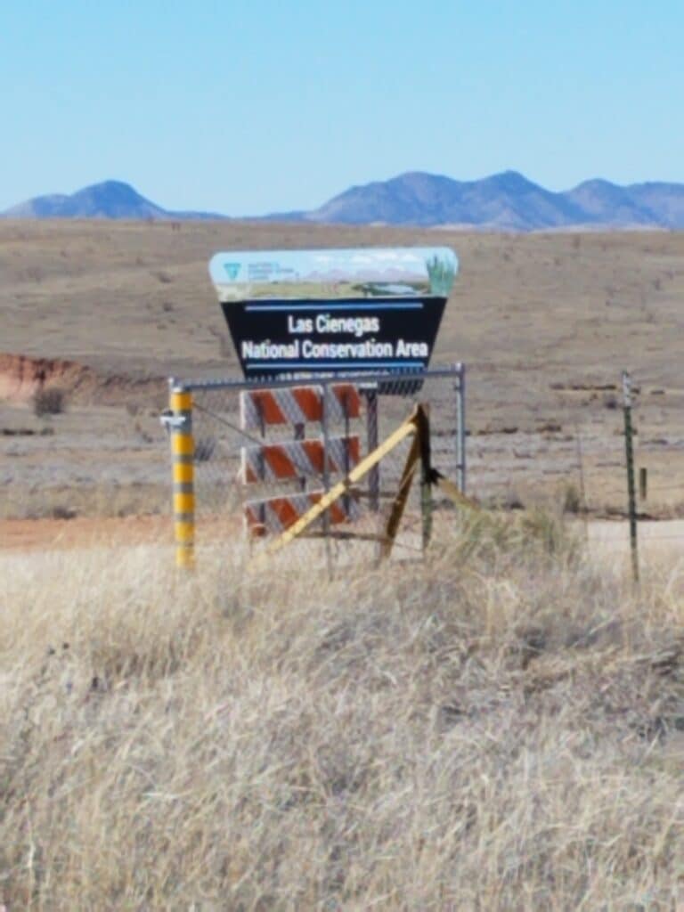
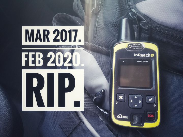
Somewhere in the vicinity of Road 900 and the Las Cienegas Conservation Area, the shoulder got narrow again. I caught the edge of my shoe on an irregularity in the asphalt on the road, tripped, and fell onto my right shoulder, damaging my Garmin InReach. There was traffic on that road, and I’m lucky that I didn’t fall too far into the road.
I waited for a gap in traffic, picked up my water and electrolyte bottles, and kept going.
I felt a twinge of self-pity. One hand, two elbows, and now my right shoulder and all taken a beating recently. I was beginning to wonder whether I was actually not paying attention, was losing balance, or had some other problem.
But it wouldn’t get solved where I was at the moment. I found a wide spot on the shoulder and looked at my tracker, which had taken the brunt of the impact. The screen was still on, so I plugged it into the charger that night at the hotel back in Sonoita and chalked it up to a lucky strike in a somewhat bad day.
I didn’t know I had rendered the InReach non-functional until the next morning when I tried to start my workout and the device wouldn’t power up. I presume something in the internals of the device knocked the charging contacts loose, but it wasn’t anything I knew how to fix.
Leslie contacted Garmin and they express shipped us a replacement.
If you’re counting, that’s two tracking devices down so far.
2/25/2020: Sonoita to Tombstone AZ and Davis Road

Two days after losing the ability to track workouts on my Ambit 3, I lost the ability to track progress on my InReach. That left my Suunto 9 and the timestamped selfies, which I came to rely on increasingly, given the 9’s inaccurate sense of location and mileage. What I had hoped would serve as corroboration of more accurate tracking was now my only tracking apart from the cell phone selfies.
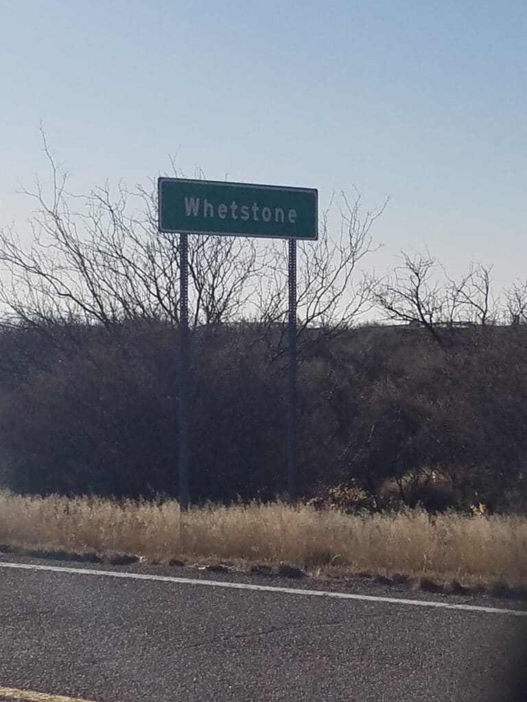
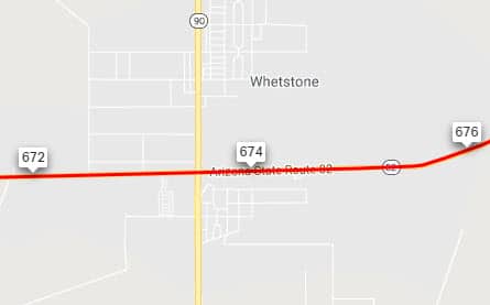
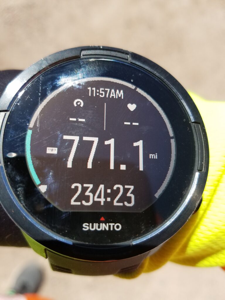
My Suunto 9 was becoming increasingly inaccurate. When I reached Whetstone at 9 o’clock that morning, at mile 674, the Suunto 9 stated that I had just reached 771 miles. That was over 100 miles off!
I made it into Tombstone about 4:30 that afternoon and the sidewalk began again. But it didn’t last long. A good chunk of the road into Tombstone had narrow, sandy shoulder with thorn bushes.
At that point, I was looking for something positive to happen. Anything.
Just then, Elaine from Sonoita rode by and waved and shouted hello. That did the job.
Later in the day, we met Rick, a type 1 diagnosed in 1968, who just happened to see our van.
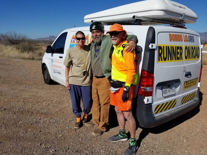
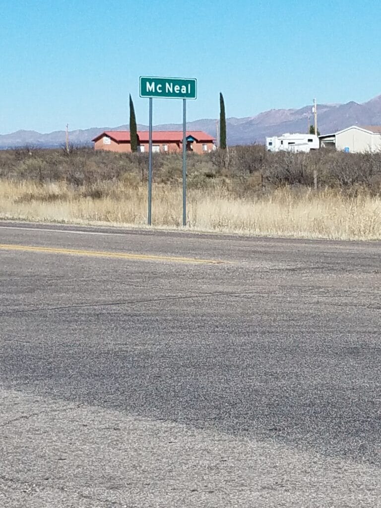
Our mileage goals shot, our tracking half-crippled, and our nice little town-to-town itinerary now fully messed up, I continued through Tombstone toward McNeal and the turn onto Davis Road.
It had been getting challenging to find something steady about the run to hold onto, and I realized now that it was those chance meetings and words of encouragement and fellowship that were keeping me going.
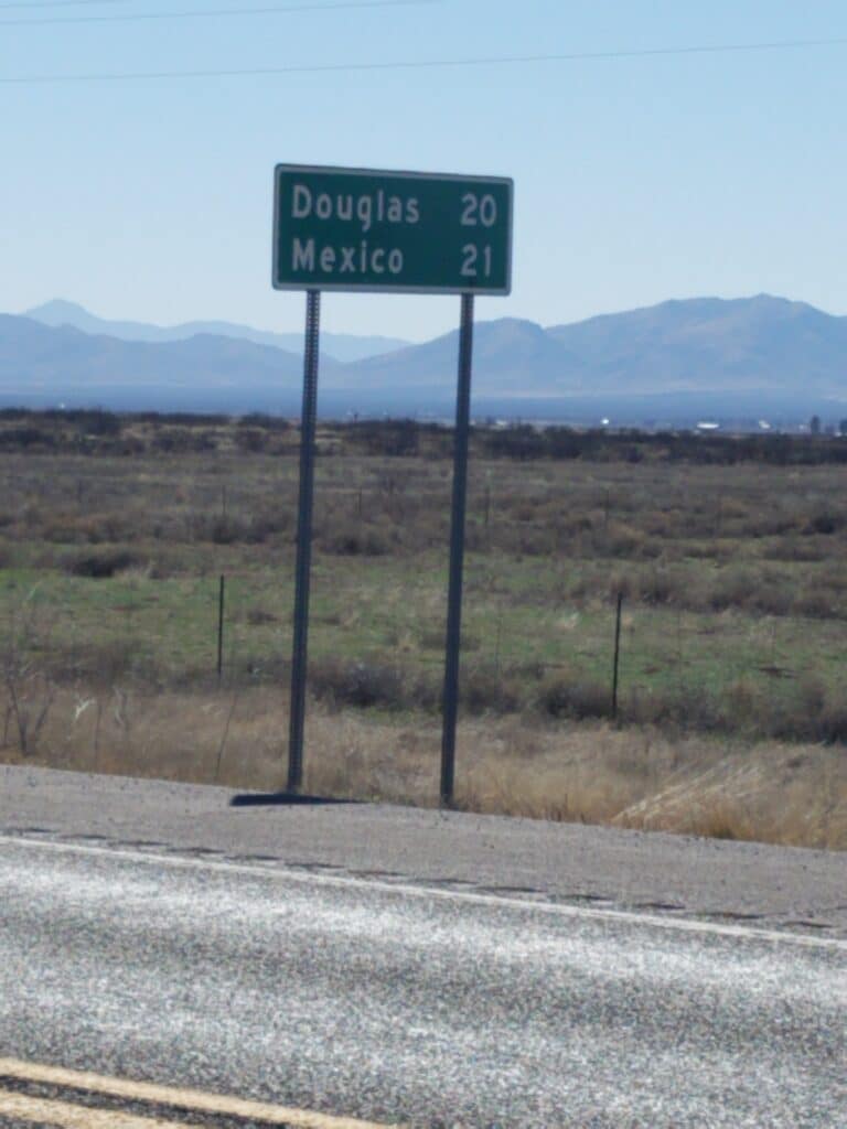
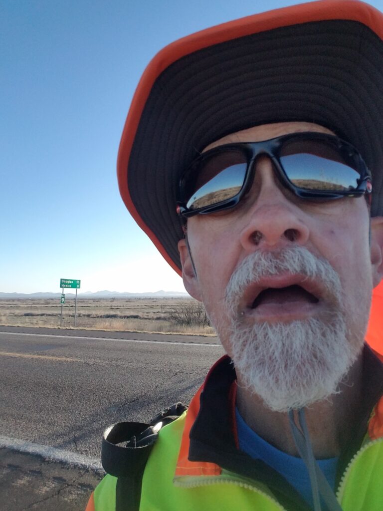
2/26/2020: Davis Road to Douglas AZ
First of all, let me get this out of the way: that stuff you see on TV about tumbleweeds in the southwest? True. Coyotes and roadrunners? Somewhat true, except for the ACME explosives and the coyotes holding signs announcing their thoughts.
Davis road went on for a while, and it was windy. Tumbleweeds were fairly common. I turned onto US-191 just past a school and headed south into a headwind.
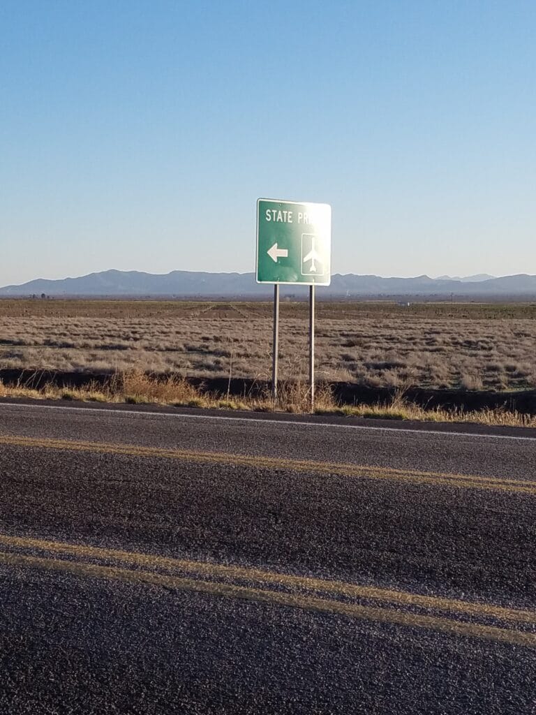
The road toward Douglas was fairly desolate, the scenery didn’t change much, and there wasn’t much to look at until we got just outside of town, where both the state prison and the Bisbee-Douglas airport were. We had taken this particular road into Douglas to avoid a shorter route that went through a narrow tunnel in Bigsbee. I stopped at the nearest intersection and we decided it was best to pick up there in the morning.
My mind was already on a plateful of tacos at Asadero el Guero, and the hope of getting a new InReach the next morning.
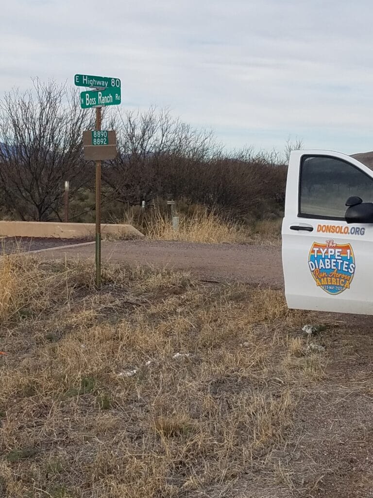
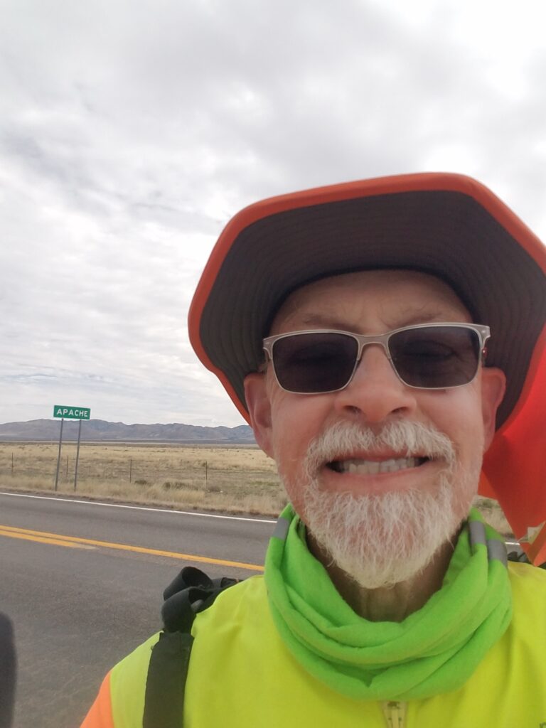
2/27/2020: Douglas to Boss Ranch Road / Apache AZ
At 7:15 AM, the InReach was waiting at the hotel front desk. Leslie figured out how to configure the basics, but it appeared set on 10-minute updates even though we had configured it online for 2-minute updates. Eventually Garmin straightened it out, though like a lot of stuff with Garmin, it seemed more complicated that it needed to be.
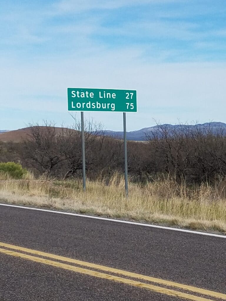
We were through Douglas fairly quickly, then onto AZ-80 and the open road. If anything, sections of 80 were more desolate than some of the roads I had been on. The shoulder was better, but there wasn’t much to mark our progress. We were now shooting for the New Mexico state line. Having long since been knocked off our rhythm of running from town to town, around 5:45 PM we picked a spot not far outside Apache where Boss Ranch Road crossed 80 and called it a day.
We stayed the night at a wonderful ranch just off AZ-80 that we found on Air B&B. It was run by two ladies, one of whose husband had been the owner and operator of the property before his death. They were trying to keep the operation alive, they said, but weren’t sure how long they’d continue to do it, given its location and the lack of traffic. I’m just glad it was there when we were.
2/28/2020: Boss Ranch Rd / Apache AZ to Animas NM
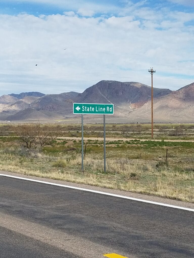
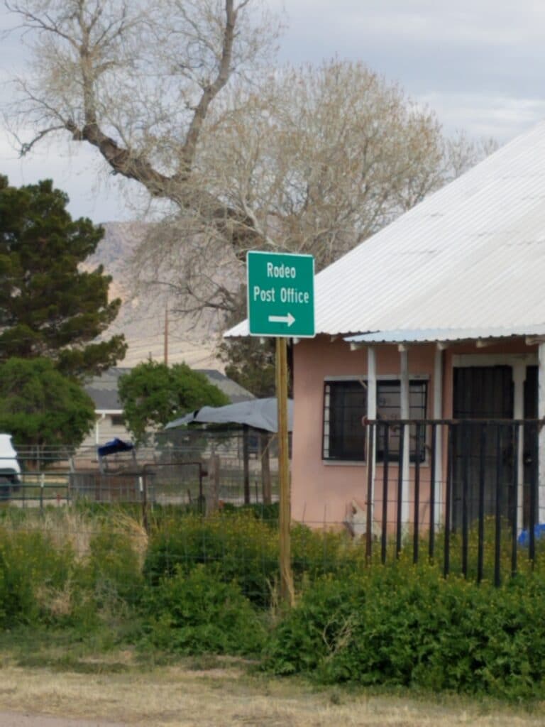
The bulk of the day from Boss Ranch Road was spent running the remaining distance to the state line and into the vicinity of Rodeo, NM.
The shoulders on highway 80 improved once we got into New Mexico, and the running was for the most part good. Now and again on the road into Rodeo I kept spotting what looked like military vehicles with long poles mounted atop them, at the end of which were what looked a bit like searchlights. I didn’t see anyone around them, but I did spot a porta-potty that hadn’t been serviced for the last 2 years. I made the stop anyway, and as I emerged, I saw a soldier of some sort getting out of the military vehicle.
I saw more of this as the miles went on, and at least judging by my experiences, I would guess the whole southern half of New Mexico is populated by Border Patrol.
Once I made the turn onto NM-9 and headed toward Animas (strangely, the name of a defunct insulin pump manufacturer), their presence was pretty much constant. At one point, I was doing my best to watch for a gap in traffic so I could relieve myself on the side of the road when I was buzzed by a helicopter. I hope they saw what they wanted to see.
Along NM-9, Leslie and I constantly kept encountering our friends from Border Patrol. At first they were very curious about what we had in the van. Once they were satisfied I really was running across the USA, they seemed to leave us alone, and as we neared Animas, one even asked about our run.
We reached our AirB&B in Animas at 4 PM and I ran the remaining distance into town to establish a start point for the next day that wouldn’t force us into long miles.
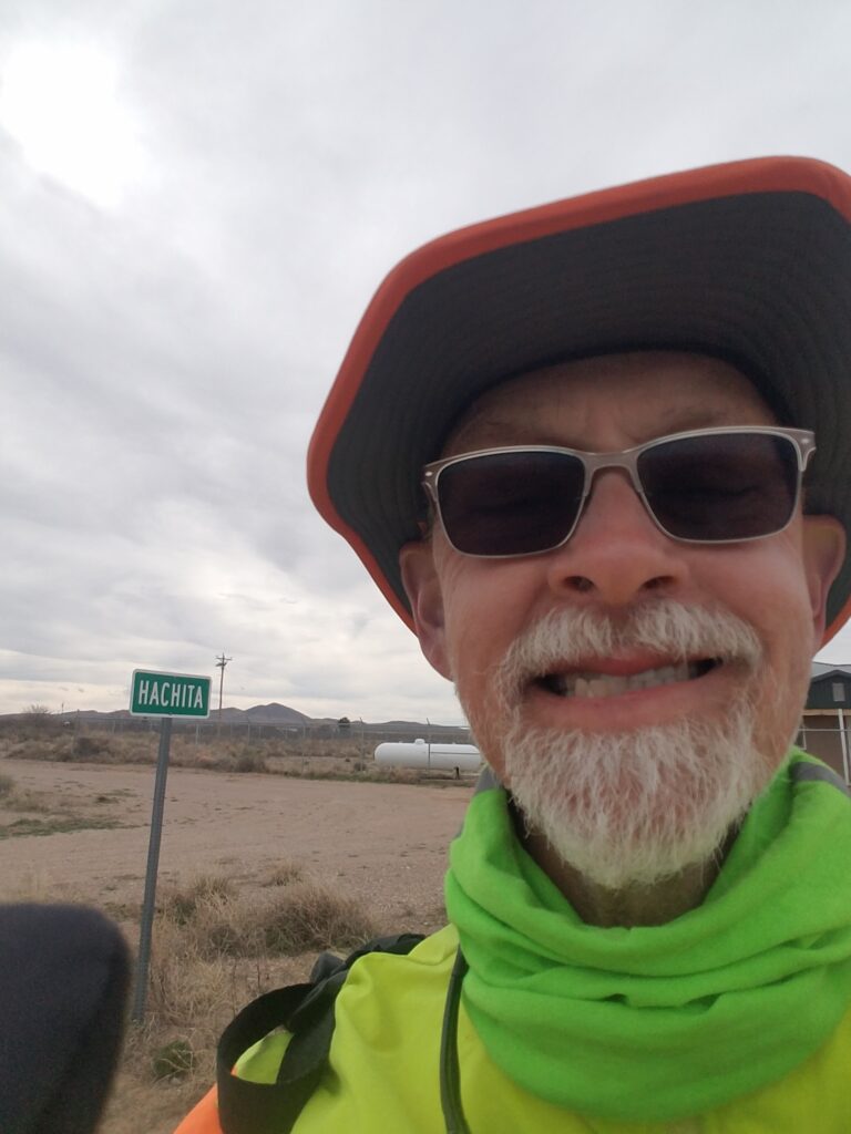
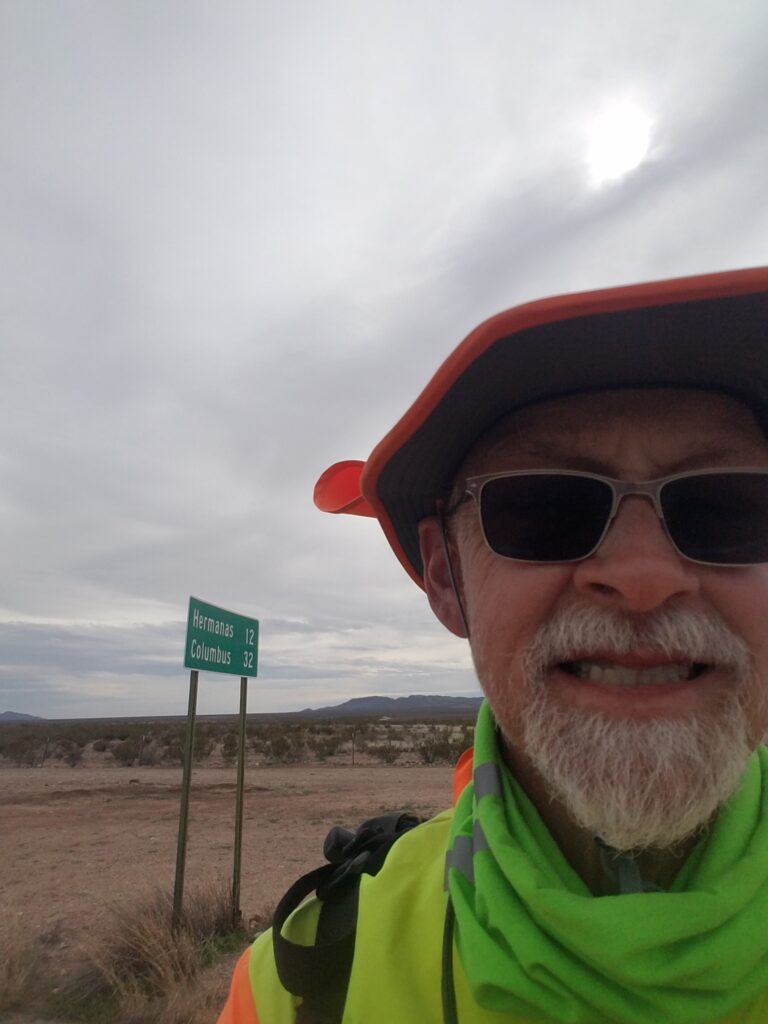
2/29/2020: Animas to Hachita NM
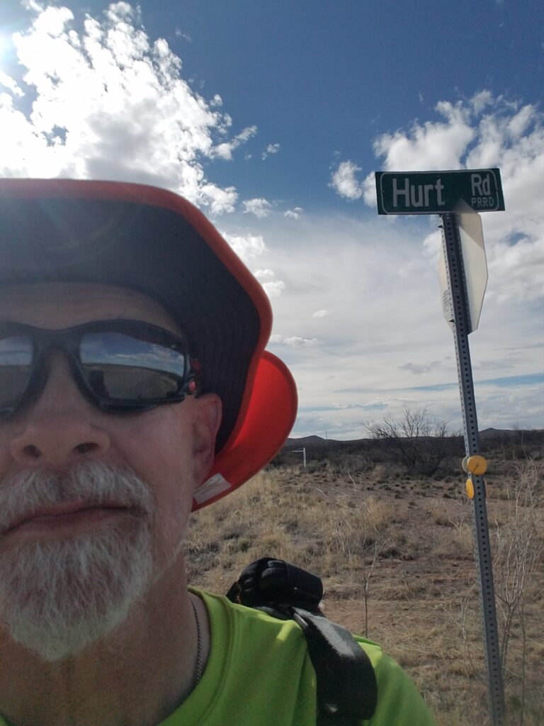
February 29th was a day of extremes. It wasn’t exactly a joke that I had taken the selfie in front of a sign that said “Hurt.” My legs were feeling it, and the stretch of running days heading toward Columbus was one of my longest ones, almost 350 miles.
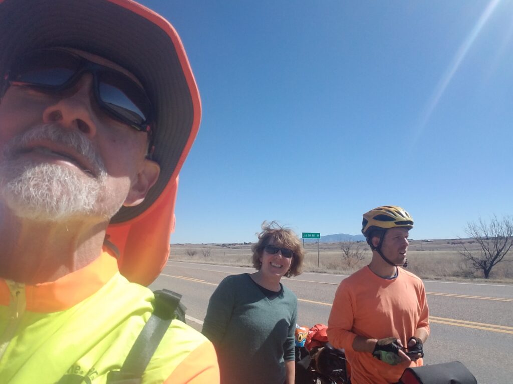
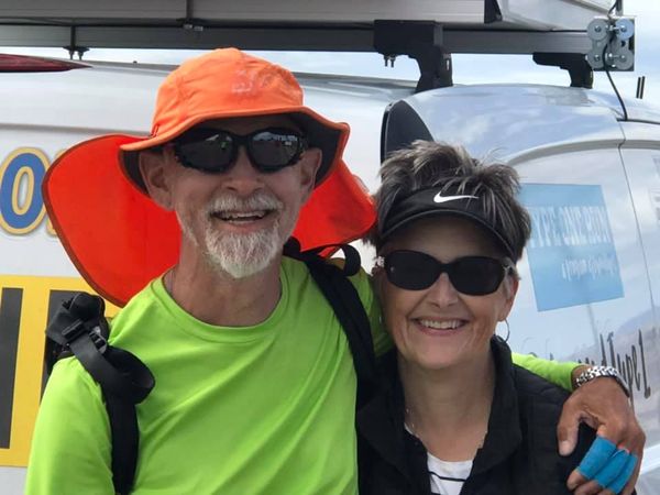
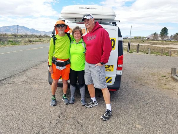
Somewhere close to Hachita, our long-time friends Carol and Kerry Ezell, who moved not long ago from the DFW area to Las Cruces, NM, met us briefly on the highway before promising to see us again tomorrow, with Carol on her bike.
We were super-excited to see old friends, and Carol took the wonderful photo above of Leslie and me. Not only that, but the weather seemed to be warming up just a little, and I ran most of the day in a long-sleeve shirt rather than the shirt-plus-windbreaker arrangement that sometimes overheated me and tended to catch a fair bit of wind if I had it unzipped enough to cool down. The skies were clear and blue but not cloudless, and I was feeling pretty good when we got to the Hachita Food Mart, where I had previously met the owner, Jeff, on a route scouting trip. Jeff’s a long-distance cyclist and is in love with the town. It’s in the middle of nowhere, and I don’t know what’s going to happen to towns like Hachita in the long run. So if you’re out there, pay him a visit and buy something.
3/1/2020: Hachita to somewhere short of Columbus NM
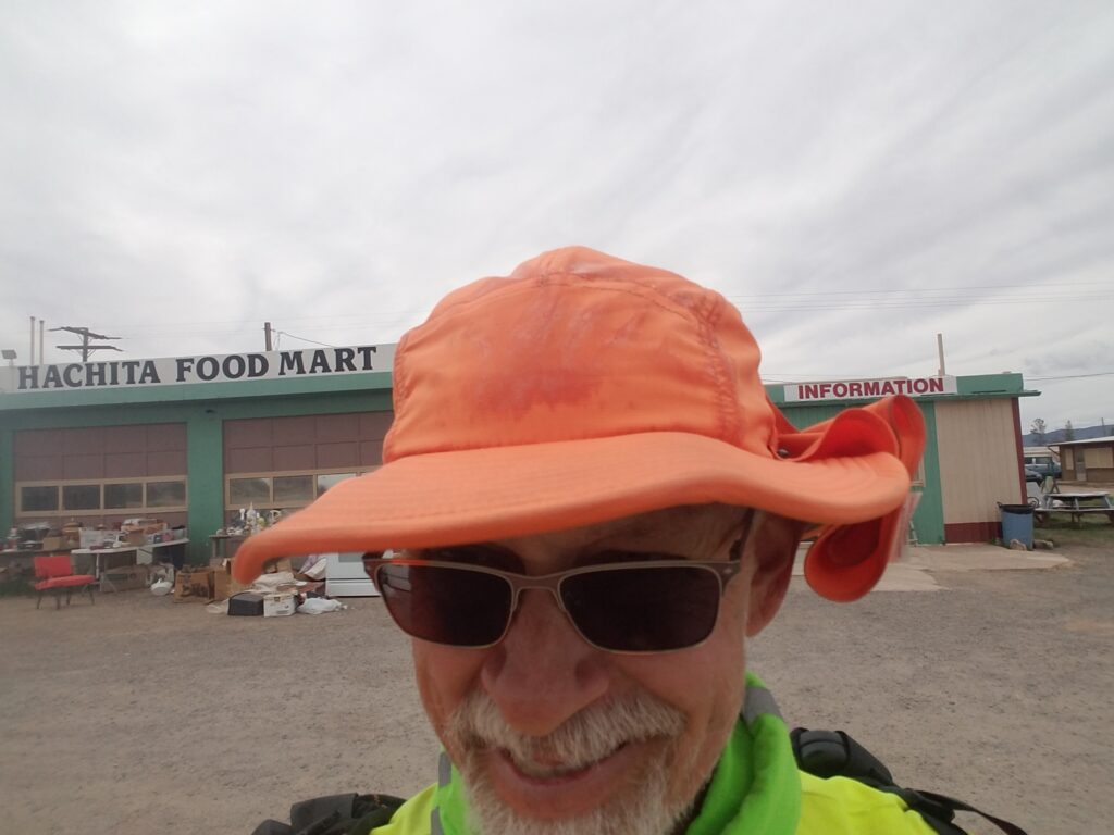
I started my day at the Hachita Food Mart. Carol and Kerry had brought us boiled eggs, which Leslie used in my lunches of egg salad, and Leslie went in and bought something from Jeff. It was shaping up as a good day.
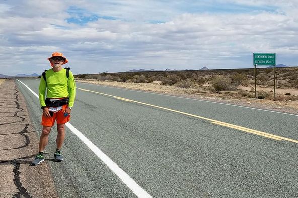
Early in the day, it was a little cloudy, but the weather cleared. Carol got on her bike and rode slowly across the Continental Divide, with me running on the opposite side of the road.
We were sorry to see them go, but that special treat made my day, and I was beginning to realize that it was my bonds with other people that helped hold things together during the run.
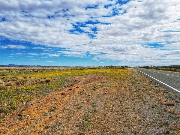
Making it all the way from Hachita to Columbus would have made it a 44-mile day, and at that point I really didn’t have 44-mile days in me. I stopped running about 20 miles short of Columbus at the Hermanas Grade, and marked the spot in Google Maps for our start point the next day.
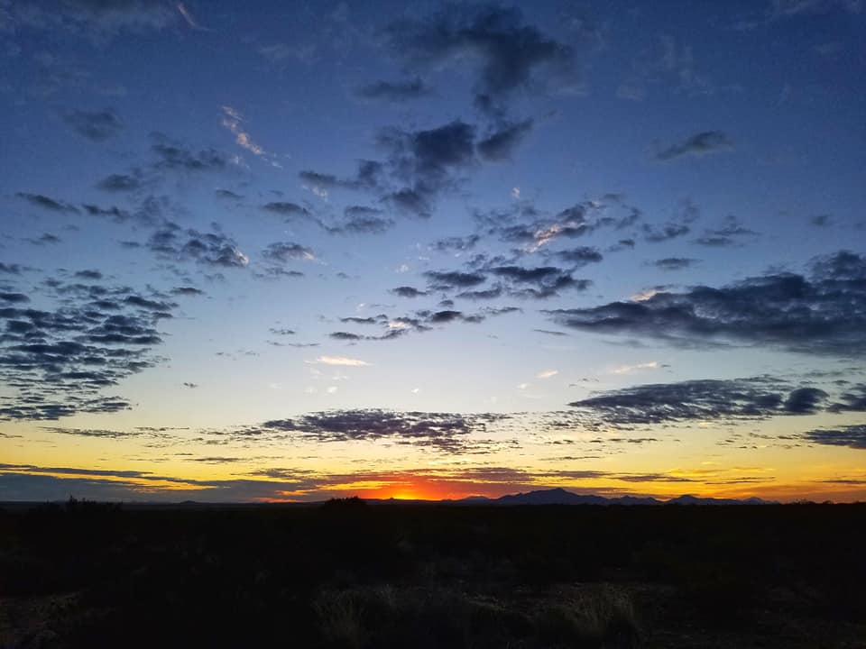
Oh! And did I mention, New Mexico sunsets are stunning?
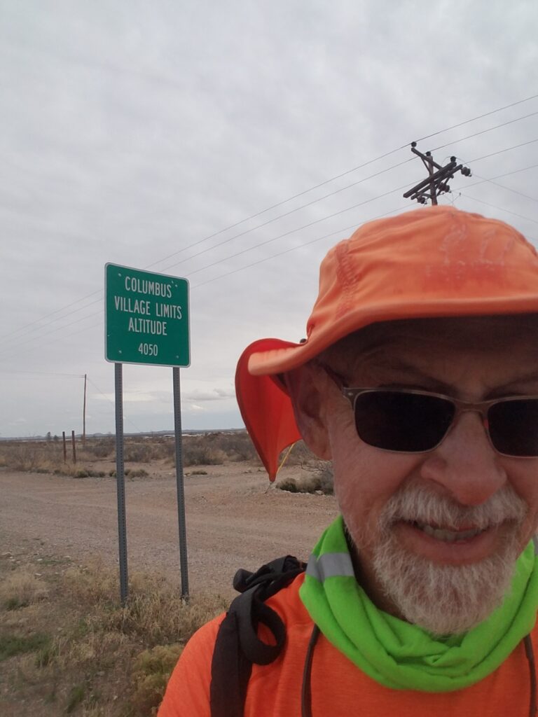
3/2/2020: Into Columbus NM and a little farther
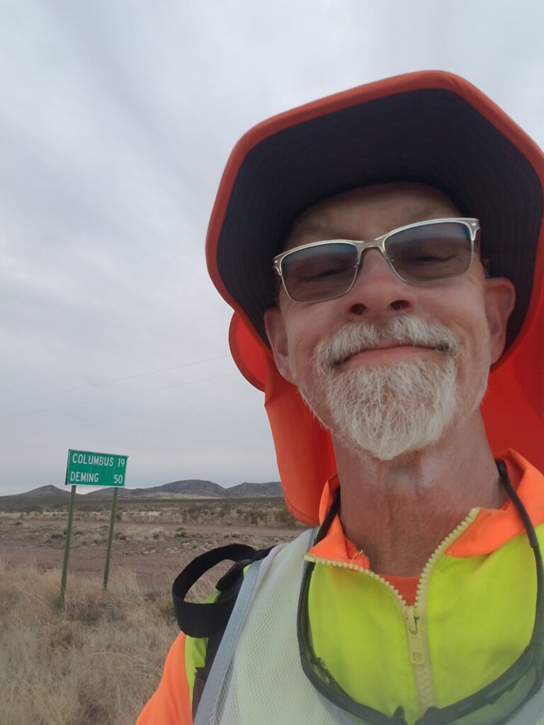
I ran the remaining miles from Hermanas Grade into Columbus the next morning, with the goal of getting maybe ten miles or so past town, wherever that may be. There weren’t really any towns, abandoned gas stations, or even an intersection with a dirt road to serve as markers.
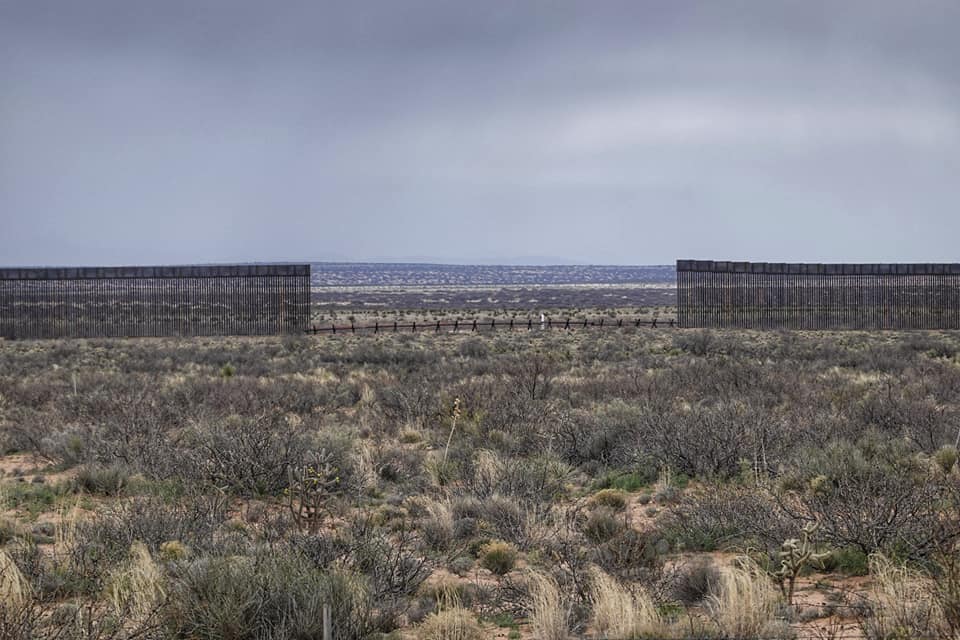
On one stretch or road, truck after truck after truck hauled dark colored steel beams, and pulled off to the south of the road where people were busy at work building miles of border wall. It accentuated just how close to Mexico we were at the time.
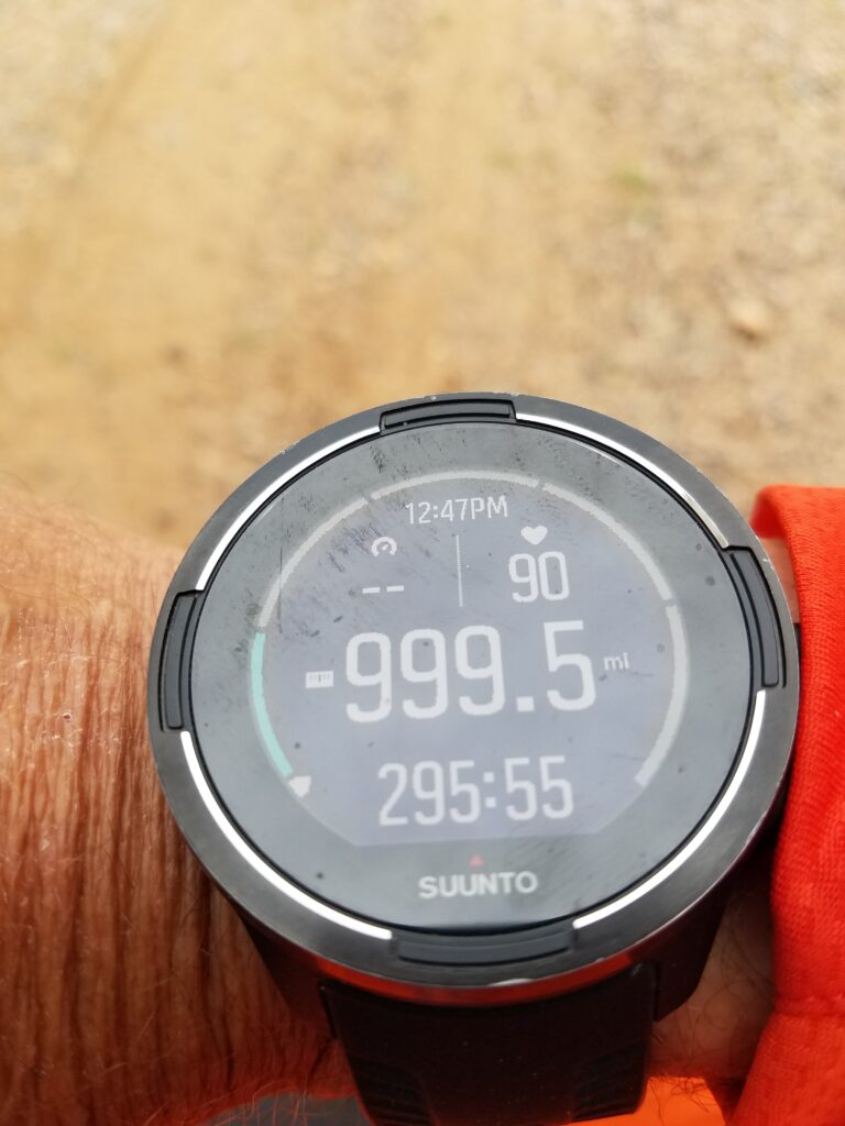
My Suunto 9 had gotten to the point where it was useless except as verification that at some time or other, I had run the route I was on. It said I had gone almost 1000 miles, and RideWithGPS said that we were somewhere around mile 890.
I finally decided to ignore my GPS watch and just look at our progress against landmarks whose position and mileage on the route was unambiguous.
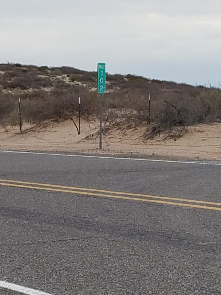
That was a challenge. My goal for the day looked clear enough on RideWithGPS: Arena, NM. But Arena had no markers. I took to noticing the mile markers when I left Columbus, and decided our best bet was to shoot for mile marker 102. That was a really poor choice since it wasn’t possible to locate it on Google Maps the next morning. We’d just have to zero out the van’s trip meter and drive the prescribed number of miles until we got closer to mile marker 102. There was a ranch nearby with a somewhat distinctive gate, and we decided to end the day there.
Our adventure trying to figure out how far we really were from anywhere made me uneasy about my mileage for the last couple of days. Coming into Columbus, I thought I had gotten closer. Heading out of Columbus, I could only guess how far we were to the next marker. The markers weren’t the kind of thing you could punch into a nav system or Google Maps, which rendered them useless for daily mileage estimation; and often, my guesses were just wrong.
3/3/2020: Just past Columbus to NM-9 and A-0005 outside El Paso
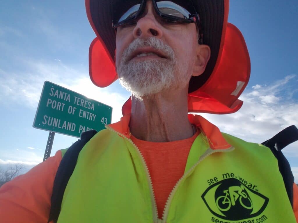
I began to see markers for the Santa Teresa Point of Entry, 43 miles away, just west of El Paso. I knew one thing for certain, El Paso was farther than that.
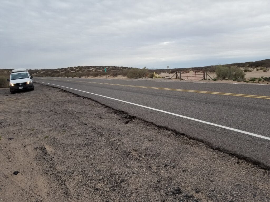
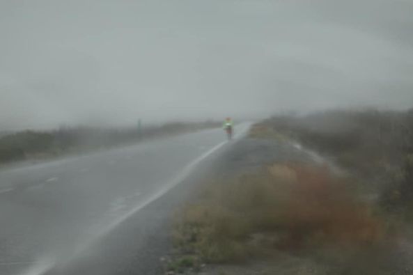
We decided to split the remaining distance to El Paso into two days, in hope of getting back to our town-to-town rhythm that made it easier to understand our progress. Somewhere in the middle of all that was an intersection between NM-9 and a dirt road labeled A-0005. That was our goal for the day: 22 miles. We’d seen that the forecast was for rain, and decided that if we made it any farther than that, it was good fortune.
I had made it perhaps 20 miles when the rain started coming down hard. Unlike the rain in Tumacacori, this wasn’t just miserable: it was drenching, and it was starting to affect my stride. Leslie and I conferred in the cover of the van on the roadside and talked about running farther. To do so with any success, I’d need to retape my feet, put on dry clothes and… just get soaking wet again.
With only 23 miles left to El Paso, the tape coming off my feet and blisters being re-exposed, Leslie and I looked at the weather forecast: continued rain for the next several hours, on into the next day. After that, it was supposed to be sunny again.
We decided to take our rest day one day early, stopped the tracker, and Leslie drove us to El Paso.
3/4/2020: Rest Day: El Paso TX
I have no photographs from El Paso. I barely remember the ride into town and finding our hotel.
When we opened the 850-mile envelope in the Tandem care package, there was a note from my friend and fellow Type 1 Blair Ryan, who worked in their Marketing Department. I am pretty sure those aren’t my feet in the picture, but mine didn’t look much different. I was glad to peel off the tape for a day, take the gel covers off my longest toes, and just lie down.
I am sure I slept well. If I recall correctly, close to twelve hours. I remember waking up around lunchtime, very hungry, but feeling much better.
3/5/2020: NM-9 & A-0005 to El Paso TX
March 5th held up to its promise of being a dry day, and the run into El Paso was much more pleasant than my previous running day.
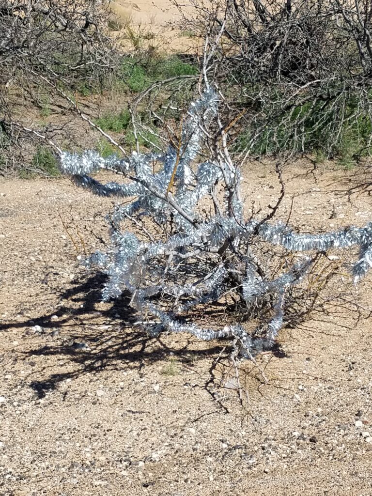
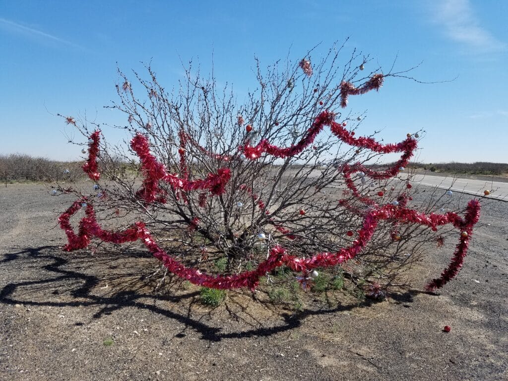
On the north side of NM-9, out in the middle of nowhere, I spotted two largish bushes that were probably mesquite, judging by the thorns, that someone had decorated with Christmas garlands. I found this insanely amusing, and quickly posted on Facebook that I had some really good hallucinations to share (I had a running joke ever since Mecca CA that I was going to post hallucinations so people could see what i was seeing).
Much sooner than I had expected, I reached at T where NM-9 abrubtly stopped just north of Santa Teresa, and to the north the road became a busy four-lane called the Pete Domenici Highway. It had a good shoulder for a long stretch, and where it didn’t, someone had dumped dry straw into the ditch, which made for decent walking with the running wasn’t good.
There was only one section of highway that was a little dodgy, and that was where road crews were working on an area where the highway crossed over a railroad just south of Airport Freeway. I had plenty of room, but out of an abundance of caution, I walked that section.
After that, it was downhill, and the shoulder came and went on Airport Freeway. It finally got somewhat civilized near Santa Teresa High School, and after the turn onto 273, I began to see bits and pieces of what looked like bike trail.
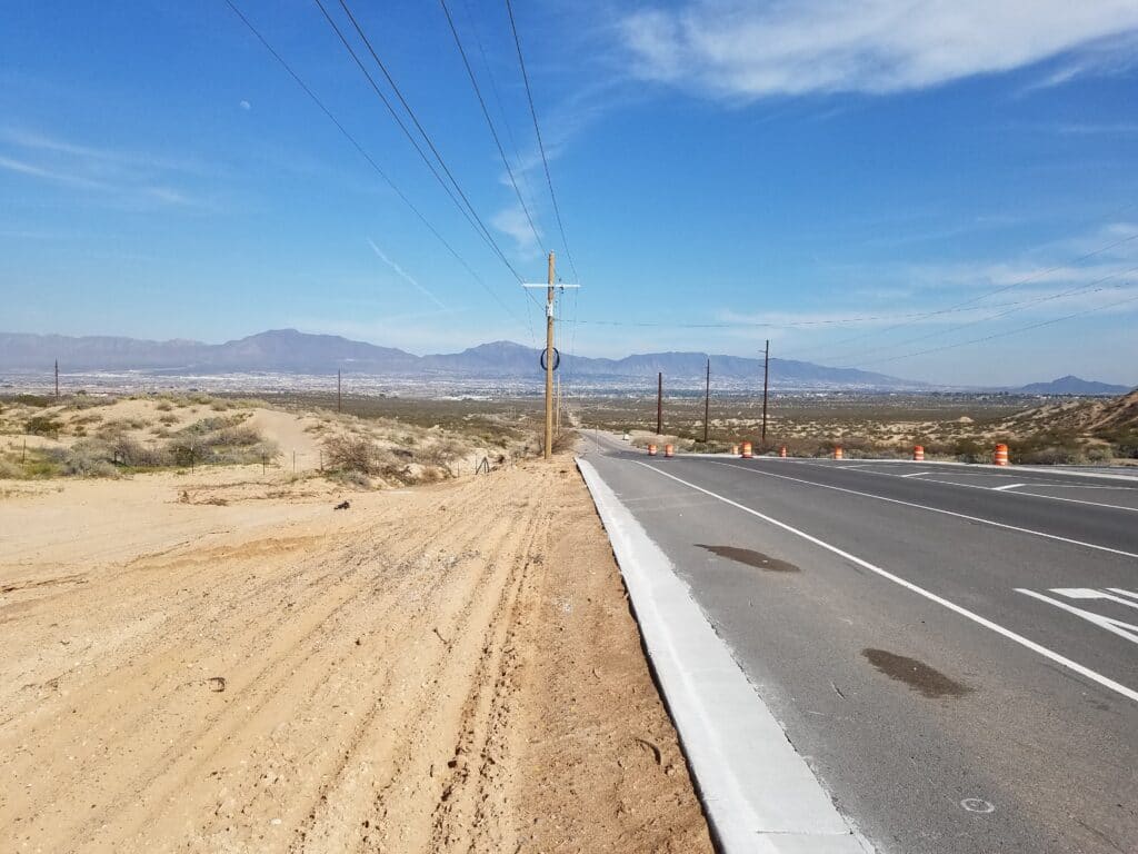
As I turned onto Country Club road, the sidewalk began again, actually did hit the 1000-mile mark, and as I crossed the Rio Grande, I knew I was back in Texas and finally in El Paso.
As I ran along Country Club, I was anxious not just to beat sunset, but to get to our day’s-end marker at the Krispy Kreme just east of I-10.
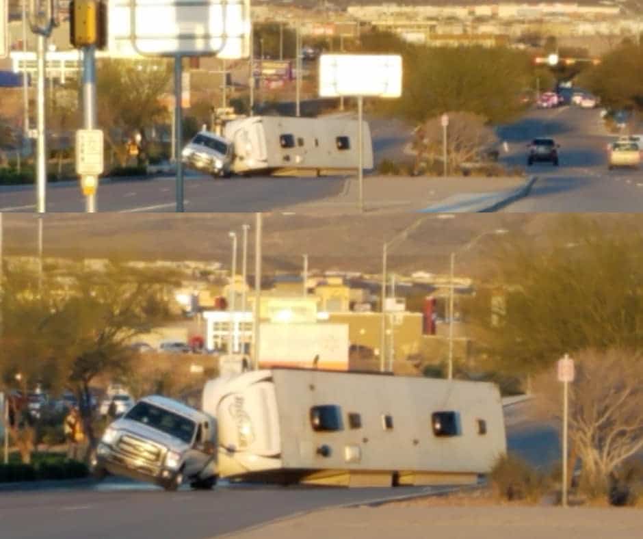
As headed out for dinner, our entertainment for the evening was figuring out how a pickup pulling an RV trailer had managed to get itself into a rather delicate situation about half a mile from our hotel.
3/6/2020: El Paso to Butterfield TX
I was relieved to reach El Paso for several reasons.
First, because I was rejoining a route I “knew”, at least in the sense that I had run most of it before. Some parts, like the dangerous run through oilfield country and TX-302, I had eliminated by routing through Carlsbad and back into Texas via Andrews, since I no longer included in my objectives a full transit of Texas.
Second, because I was returning to the rhythm of running from one town to another, with just a few exceptions. In any case, we knew what the starting and ending points were pretty well up to the New Mexico border and once we rejoined our original route in Big Spring.
But I was also running El Paso a full two weeks earlier than I had before, and it was windier and colder.
Finally, when running across Texas the previous year, I had picked San Jacinto Plaza for my starting point, as it was the closest I felt I could get to the New Mexico border without having to deal with a lot of traffic.
This time, I was actually entering from New Mexico and starting further north and west.
From the moment I left the Krispy Kreme I could tell this was the El Paso I didn’t know. The first part of my route through town followed Country Club until it turned slowly south and turned into Mesa Street. Mesa was very hilly, and with the wind, it was slow going. The road seemed to go on and on and on, and in my mind, my run from El Paso didn’t actually start until I had turned off Mesa and onto Montana, several blocks west of a Circle K I had stopped at on my previous run across the state.
Reaching that Circle K was a milestone for me: I was finally back on my “usual” route, which followed Montana to US-62 / US-180 and out through the eastern side of town.
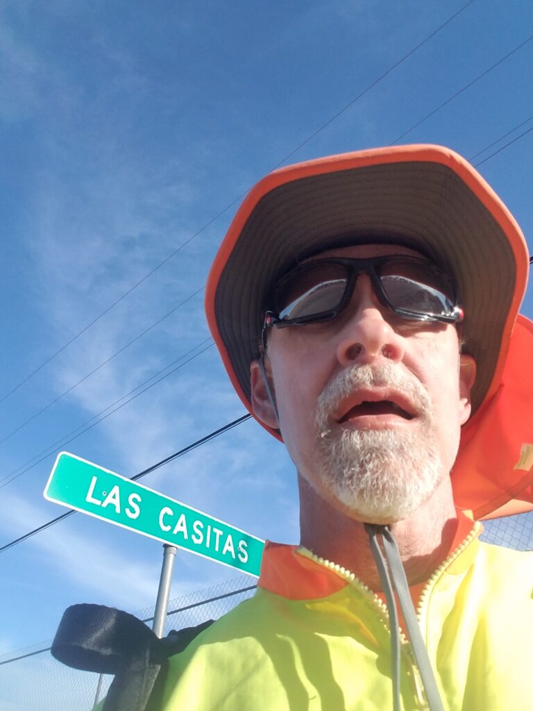
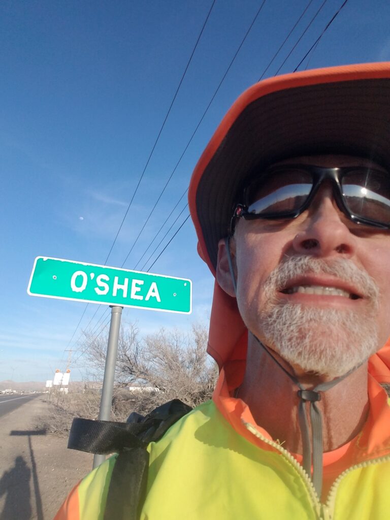
While US-180 was a long stretch of road, it gave me some comfort to see familiar landmarks go by: the Whataburger where I had previously eaten lunch with Eric Dutcher and Leslie on my Texas run, and town markers for Las Casitas and O’Shea.
I kept having to remind myself that I was starting farther west and north compared to my previous Texas run, and that running from my current day-start in El Paso to Hueco Tanks was not a 24-mile run, but a 49-mile one. I’d have to stop well short of Hueco Tanks.
The rest of the day’s run was along the wide shoulders of 180 and east past Butterfield. I ran out of sunlight shortly after the street lights discontinued at the far east end of Butterfield, a total daily mileage of 32.5 mi.
3/7/2020: Butterfield to Double-U Ranch west of Cornudas TX
One of the things I had been concerned with during the US run was being out on the road and mentally “out there” so much of the time that I forgot significant events.
The day’s running was pretty uneventful.
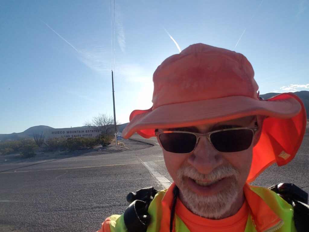
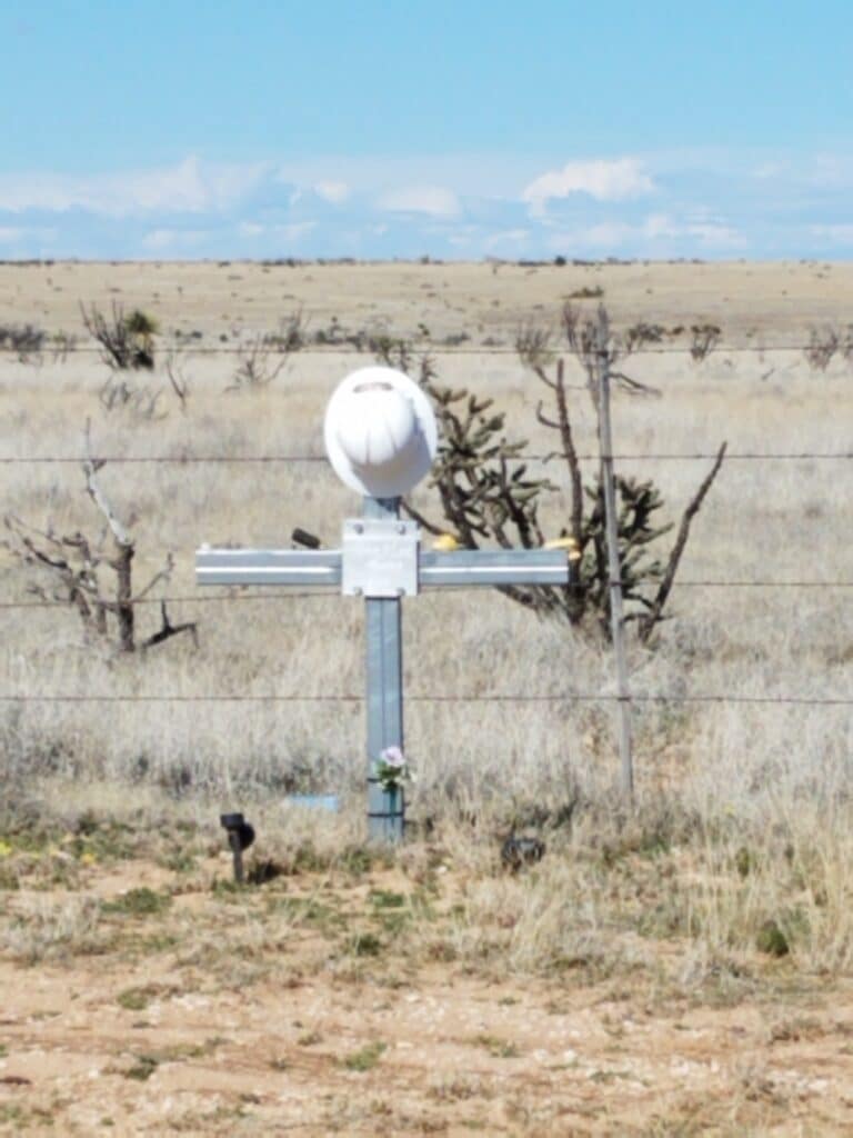
Owing to the changed starting point from Hueco Tanks to Butterfield, I wasn’t sure exactly where my day stop would be. I reached the Hueco Mountain Estates sign around 8:30 AM, then there was a Border Patrol station down the road, and then the route was nothing but long, straight roads, the occasional roadside memorial to a construction worker or pedestrian, and an assortment of ranch gates and abandoned properties the further I got out of town.
I reached Desert Haven around 10:30 in the morning, and that was the last marker I encountered for a while.
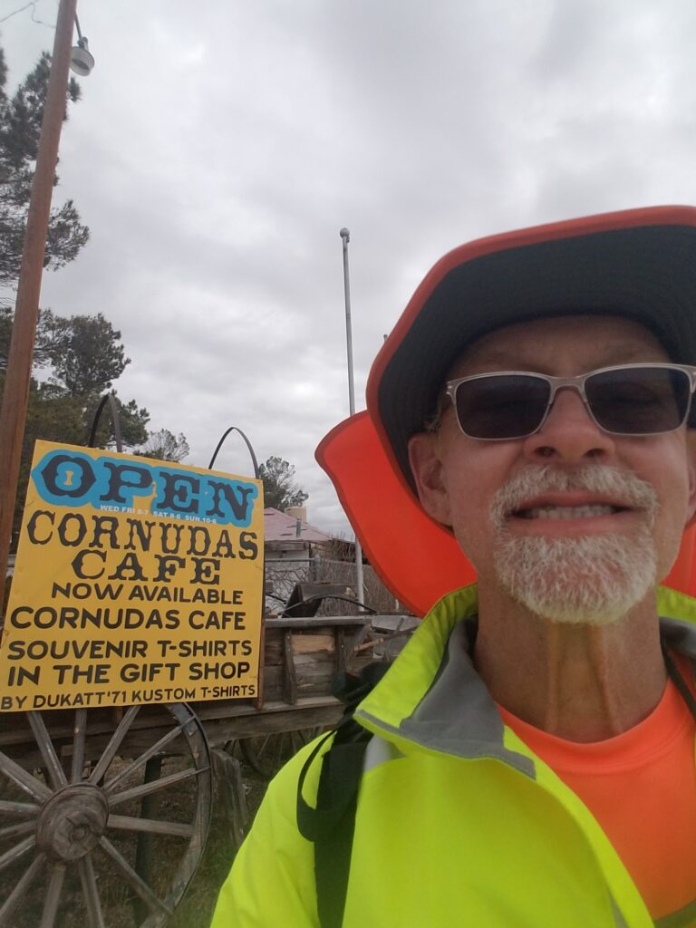
Our goal for the day was to make it to the Cornudas Cafe, a remote outpost of civilization that was the only indicator that the town of Cornudas even existed. But it was 40 miles from Butterfield.
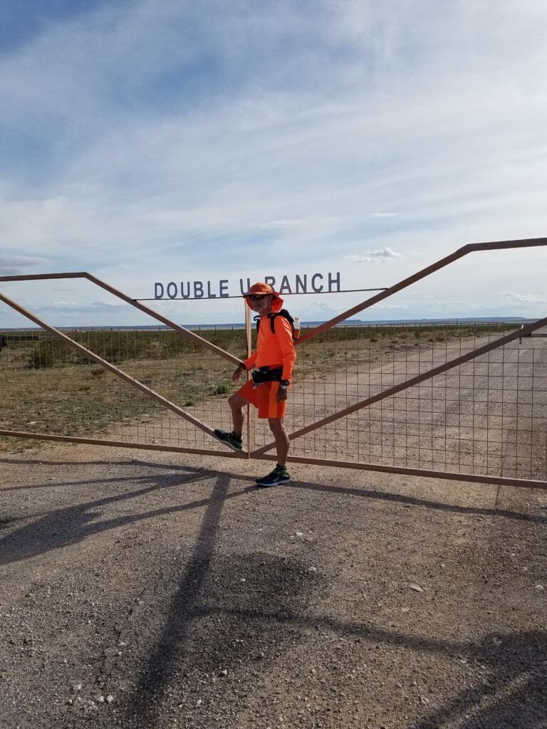
About an hour before sunset, I had gone around thirty miles and we felt like it was time to stop. We spotted a nice pulloff about ten miles west of Cornudas and took a photo at the gate of Double U Ranch, which I thought my dad might appreciate, as we had a long running joke about buying thousands of acres of remote ranchland and renaming it Muchow Ranch.
My dad was a big supporter of my efforts to raise diabetes awareness, and had been especially proud back in April 2019 when he learned that I had set a record for the fastest known run across Texas (27d 8h 36m). He followed my progress closely.
Usually I’d text them with a brief message about what town I had made it to, how many miles I had run, and what town I was shooting for next.
But March 7th was Dad’s 83rd birthday. This was our exchange.
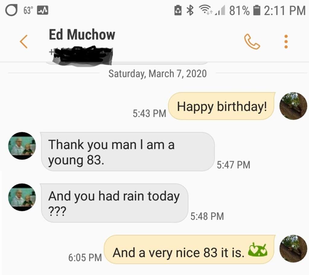
During the run, he and Mom would worry constantly about my safety. I would reassure him that we were doing the run in the safest way possible and occasionally remind him about all the safety measures we were taking. He asked me if Leslie and I had made any plans for what might happen if we were both hit by a car. I told him yes, we had all that sorted out and not to worry, and told him I was looking forward to seeing him and Mom when I crossed the Mississippi River and ran into the town where I did much of my growing up. I told him we’d take an extra rest day and get together. He had said he hoped he could make it.
In the back of my mind, though, I got the sense that something else was on his mind.
3/8/2020: Double-U Ranch to Salt Flat TX
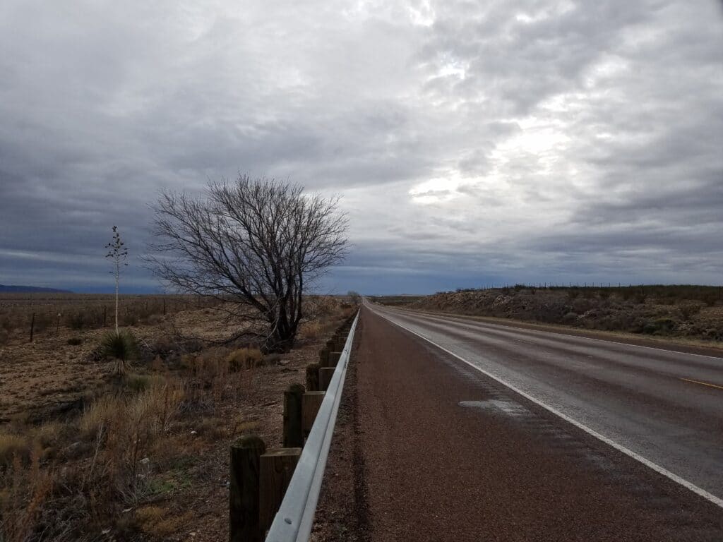
In regard to the rain, well, that forecast was pushed out until late evening. I could tell from the building cloud cover and chilly wind that we were going to get rained on; just not when.
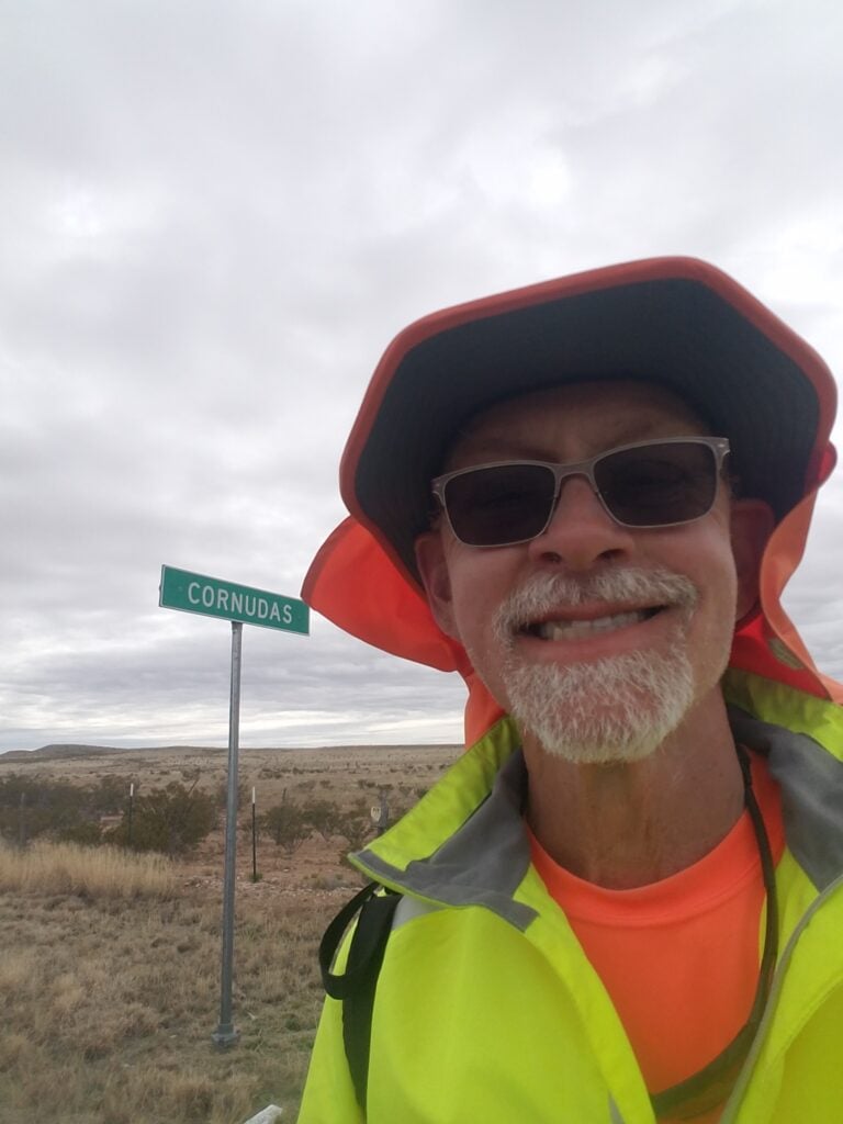
The remaining ten miles into Cornudas went without event. I got started around 8:30 AM or so, due to the daylight savings time change. I reached the cafe around 11:40 AM or so.
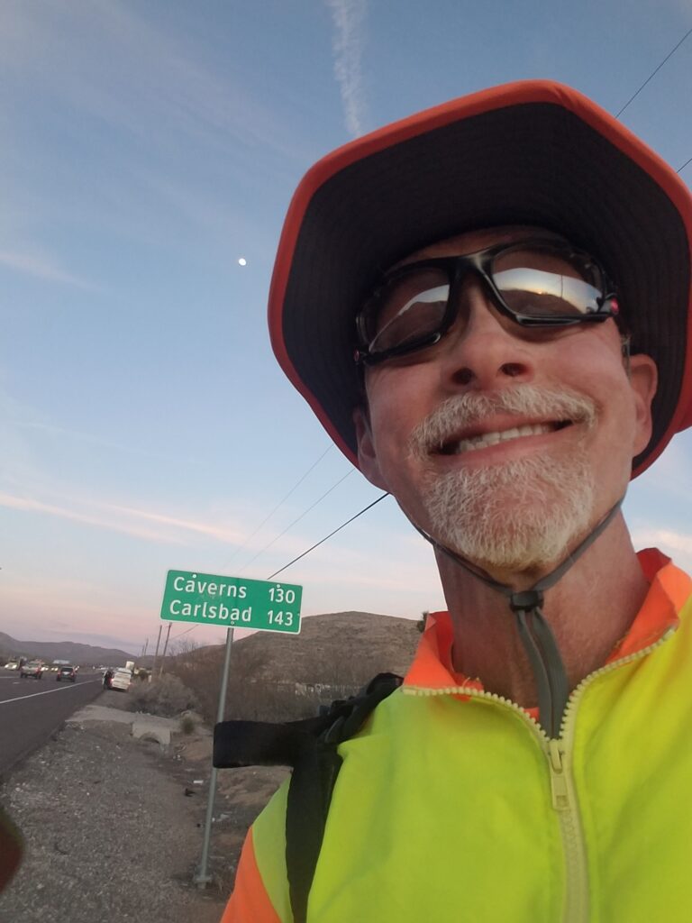
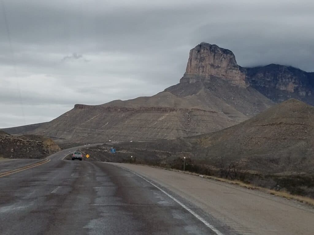
In the distance, I could now see the distinctive shape of Guadalupe Peak, the tallest mountain in Texas. My goal for the day was to stop in Salt Flat, about fifteen miles short of Guadalupe Pass, and try to do the steep run through the pass and back down the following day.
The shoulders were wide and friendly, but it was overcast and windy, and I found myself running in my high-vis rain jacket just for warmth.
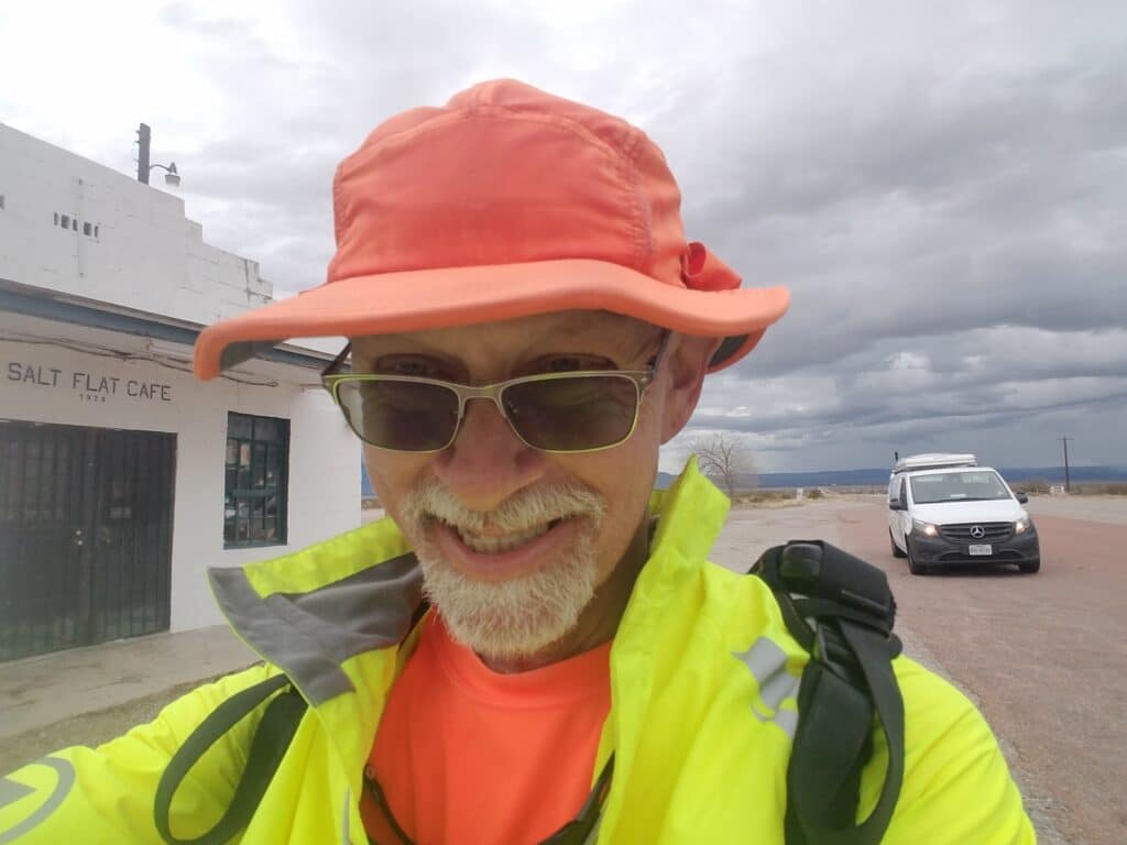
I reached the Salt Flat Cafe (once an abandoned Greyhound station and still sporting some of the signage) around 6:20 PM, about 40 minutes before sunset, and called it a day.
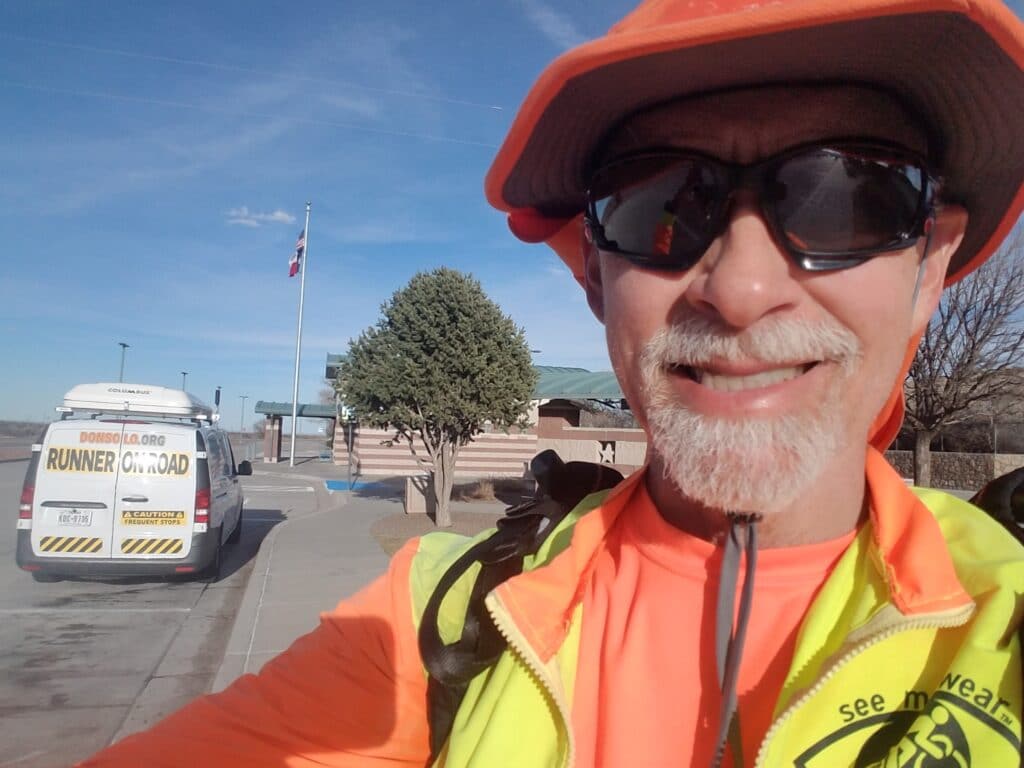
Our normal Air B&B arrangement of staying in Dell City was out of the question: the owner of all the rental properties in Dell City had decided to take a hiatus from renting for a while. So that night we drove to the Pine Springs Safety Rest Area at McKittrick Canyon to stay the night.
Then the rain came. And came. And came.
3/9/2020: Salt Flat TX to Pine Springs / McKittrick Canyon Safety Rest Area

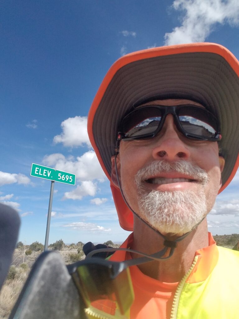
After the previous night’s rain, there were only a few clouds on the horizon at my start in Salt Flat around 7:30 AM. I enjoyed the fact that we were no longer in Pacific Time and would soon be out of Mountain Time as well, meaning dawn and our day starts could move an hour later. The clouds boiled off early.
East of Salt Flat are the actual salt flats from which the town gets it name. At street level, they look like vast bony-white sparkling fields of sand. In the 1860s, the then 20-year-old state of Texas actually got involved in a minor war with Mexico over who had the rights to harvest salt from them. There’s a marker along that stretch of road to commemorate the event.
It’s hard for me to imagine anyone wanting to fight over that piece of land.
After passing the salt flats, I was on my way the remaining twelve miles up the slow incline to the base of Guadalupe Mountain.
Guadalupe Pass sneaks up on you. Most of the hills between El Paso and there (there are two of them) aren’t that big, and they come on slowly, so when you see this long road ahead of you sloping slightly up, it’s easy to think it’s just another one of those hills. Then at the base of the pass, the grade increases to about 12% for the next three miles, during which it ascends from around 3000 ft. to 5695 ft.
It’s nothing compared to the Rocky Mountains, I’m sure. But even when you know what to expect, it’s still a workout; and to make matters worse, there’s a picnic table and a scenic overlook about halfway up the grade that makes you think you’ve conquered the mountain when in reality you’re only halfway there.
Something about having run through the pass two times before (once on a training run and again on my run across Texas) made it a little bit more tolerable, and the fact that the sun was out made the wind a little easier to take.
I reached the top of Guadalupe Pass around 2:45 PM, made a long-awaited restroom stop at the Guadalupe Peak Visitors’ Center, and headed down the mountain toward the Pine Springs Safety Rest Center near McKittrick Canyon.
I reached the rest stop around 5:30 PM. This time, no rain, but we decided not to chance it, and instead made the 40-mile drive to Carlsbad for a stay in a decent hotel.
I texted my dad to let him know we had arrived.
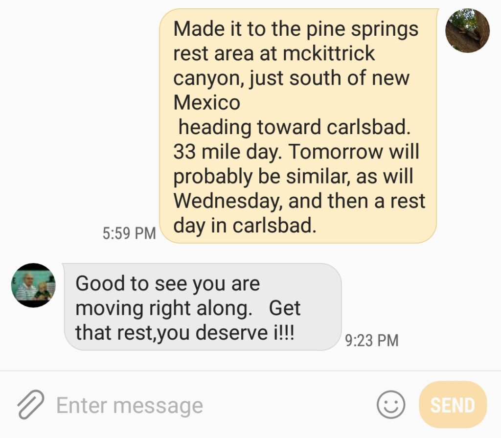
3/10/2020: Scheduled Rest Day in Carlsbad–and Bad News
“Get that rest, you deserve it!” turned out to be the last words Dad ever said to me.
At 5:30 AM, just as my wake-up alarm was to go off, Leslie woke me gently to let me know that my dad had passed away late the previous evening, just a few hours after our last text.
There were several unanswered voice messages from my brother and sisters along the lines of “call me” that had not broken through Do Not Disturb. I called them in the order of arrival, starting with my brother Walt, then my sisters, then Mom.
Of course, we were all in shock. Both my eldest sister Vicki and my Mom told me that Dad “would have wanted me to finish the run” and gave me an opportunity to continue running without guilt if I chose not to attend the funeral.
I decided in that moment that first of all, I would most definitely attend Dad’s funeral; secondly, that while I didn’t know offhand what would happen to the run, it would have to happen after I got back; and thirdly, that I could think of no better way to honor him than to fulfill that wish.
But everything in due time. Right now was the time for very, very difficult goodbyes.
3/11/2020-3/16/2020: Hiatus for My dad’s funeral
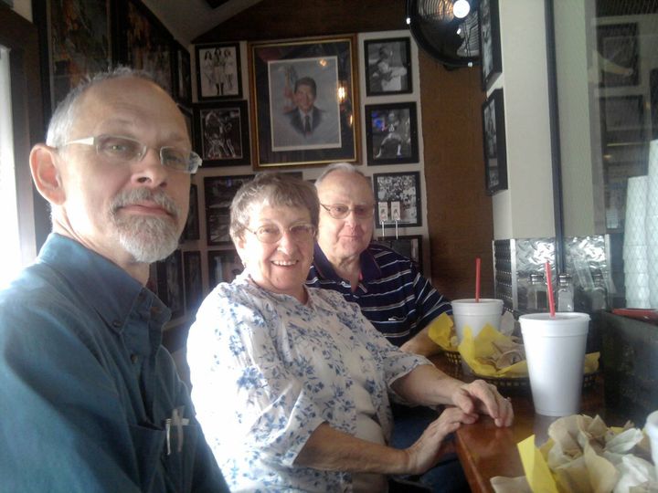
The 1000-mile drive to Greenwood, MS, where I had once hoped to meet Dad after crossing the Mississippi was at the same time endless and hurried. I spent most of the time corresponding with family members on my cellphone, then later, friends and run followers to let them know what had happened and that I had paused the run for at least a week.
That’s him in the back with my mom, and it’s how I like to remember him: healthy, vigorous, in love with travel and food, and the glue that holds a good family together.
I was touched, even overwhelmed, at the outpouring of sympathy, but something about the process of having to repeatedly acknowledge Dad’s death kept hammering it into my soul. There were times when I couldn’t look up from my phone, and times when I just stared out the window. Those moments came in waves as I thought of something important detail I forgot to mention or some person I forgot to notify.
We called the hotel in Carlsbad and told them we had checked out early and called the hotel in Greenwood to reserve a room. It all felt surreal and mechanical, like putting on your oxygen mask before the plane crashes. It was something to do, but it wasn’t the plane crash itself.
Dad’s funeral was held March 12th. It was heartening in some ways to see family, and a visit had been long overdue. My dad had been a NJROTC teacher during his early years in Greenwood after his retirement from the Navy. Long-time friends and former students showed up all morning during the visitation to pay their respects, and for once, I got to see just how much Dad meant to so many people.
It hit me like a gut punch when the funeral home director announced that they would be closing the casket. I went over to my dad’s side one last time, whispered “Get that rest, you deserve it”, and looked into his face until forced to keep moving. It would be last time I’d ever see it, and I wanted to remember forever the man he had been.
An ultra runner friend told me not long afterwards that the only way to fill a dad-sized hole is to grow up into the man he wanted you to be.
I’m still working on that, Dad.
3/17/2020: Pine Springs TX to Dark Canyon Road outside Carlsbad NM
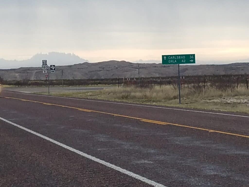
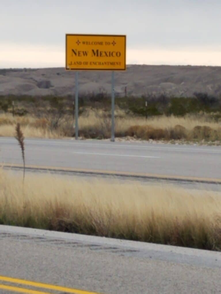
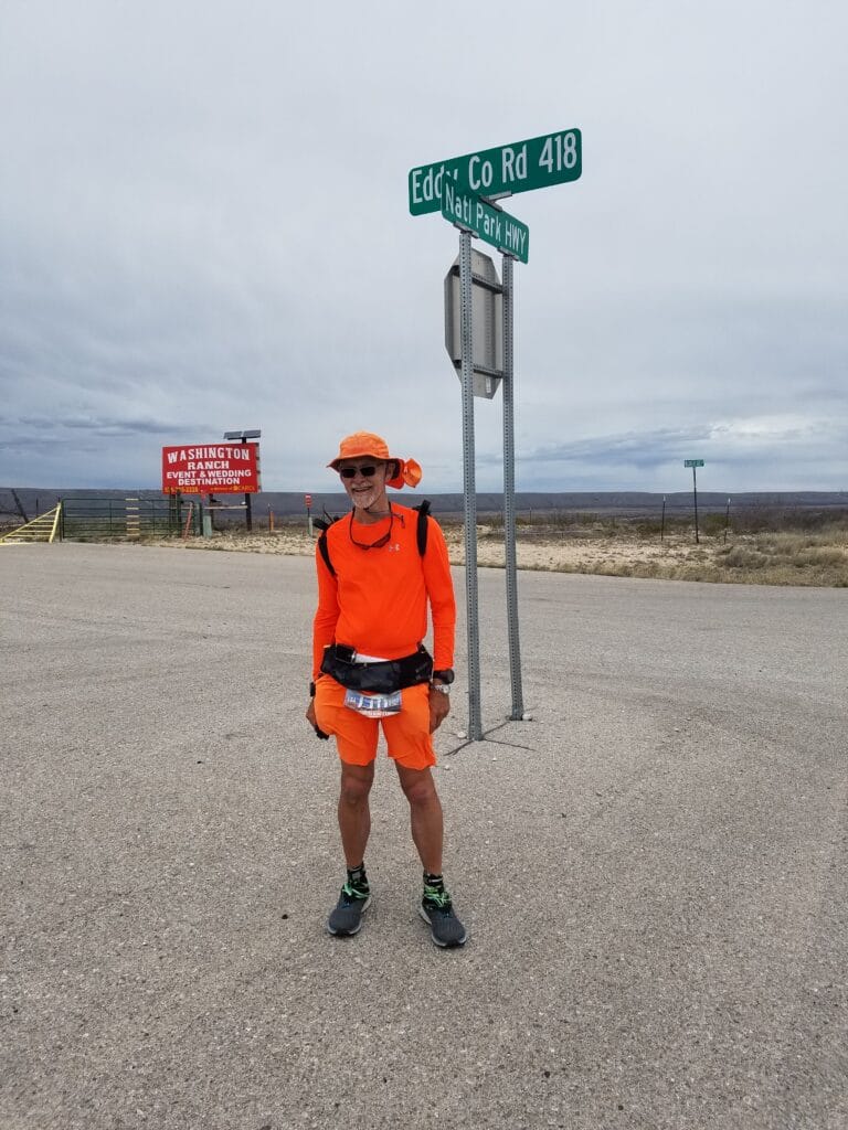
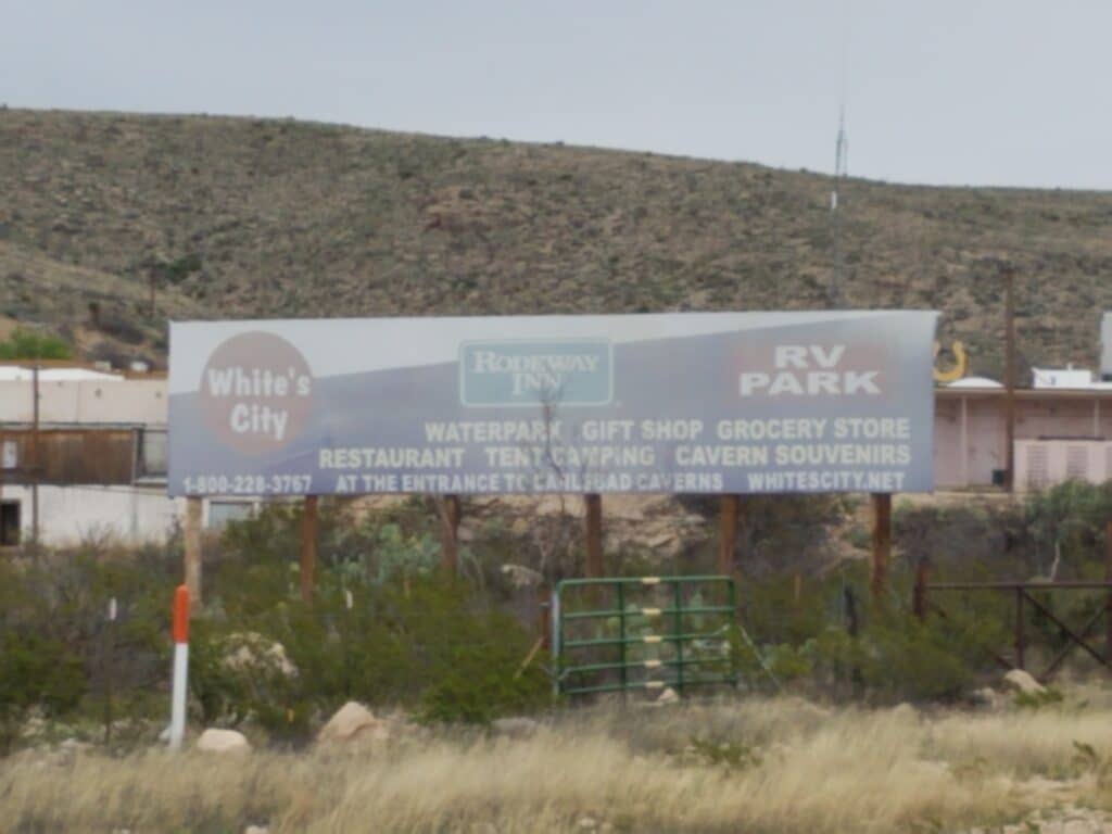
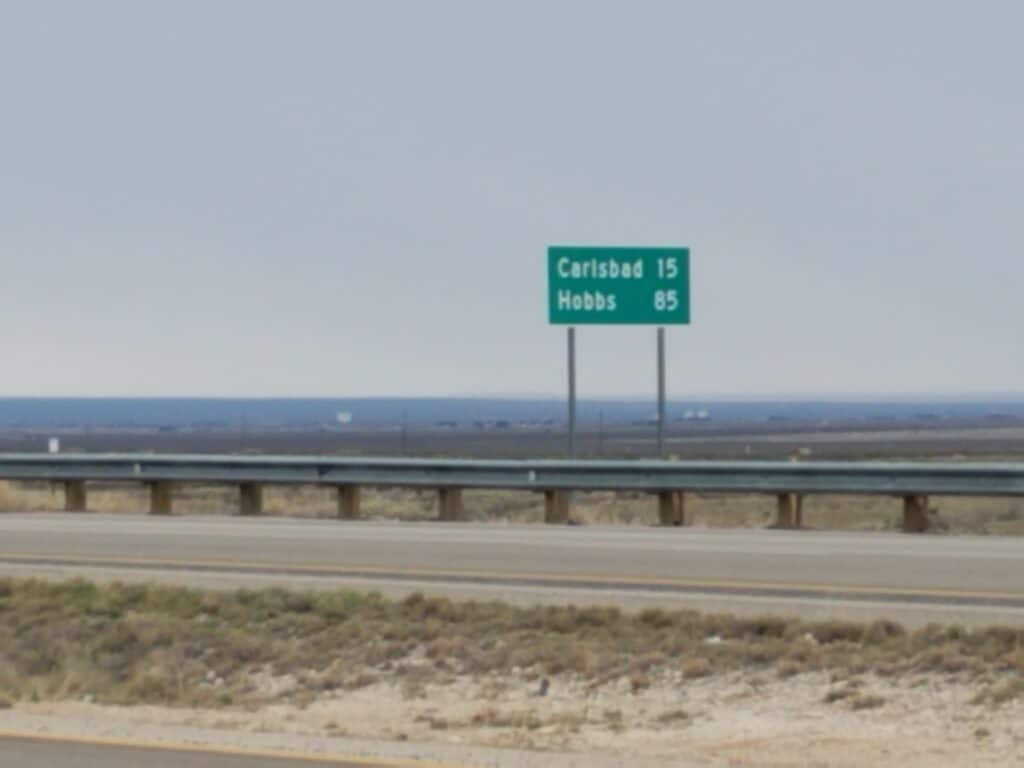
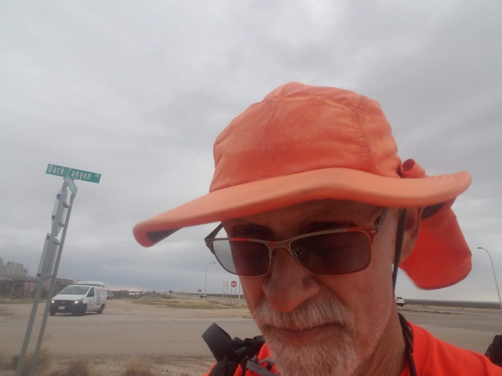
I resumed running on March 17th, a week after my dad’s passing.
Being back out on the road after the funeral was, in a word, exhausting. I was grateful to be doing something and not lost in thought about the last week’s events, but the excitement I’d anticipated in crossing into New Mexico and running into Carlsbad was now gone. It was just another slog, another day out there. The weather wasn’t great either; it was horribly windy.
At my request, Leslie took a photo of me next to a sign that said “Eddy Canyon Road.” I thought it would be an uplifting tribute to Dad but it just fell flat somehow.
I tried settling back into the routine of texting my mom to let her know how far I’d gone and what I’d seen on the road, but it seemed vain and empty now.
I reached Whites City around 3:00 PM and continued the run toward Carlsbad.
But I didn’t have it in me. We stopped at Dark Canyon Road, ten miles outside of Carlsbad, at 6:00 PM; and before long, I knew that the fanciful notion of a complete day’s running fitting nicely between two towns as start and end points was just that: a fanciful notion, not reality.
3/18/2020: Dark Canyon Rd through Carlsbad to Halfway NM
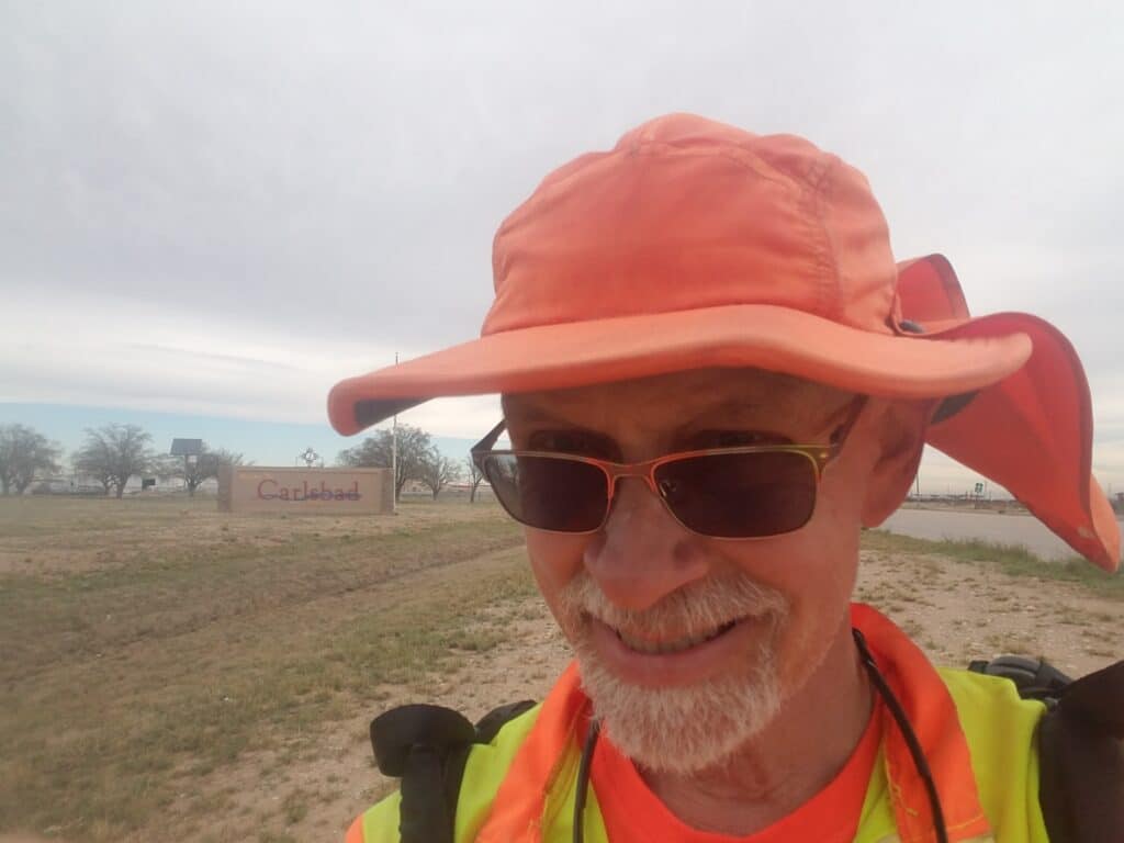
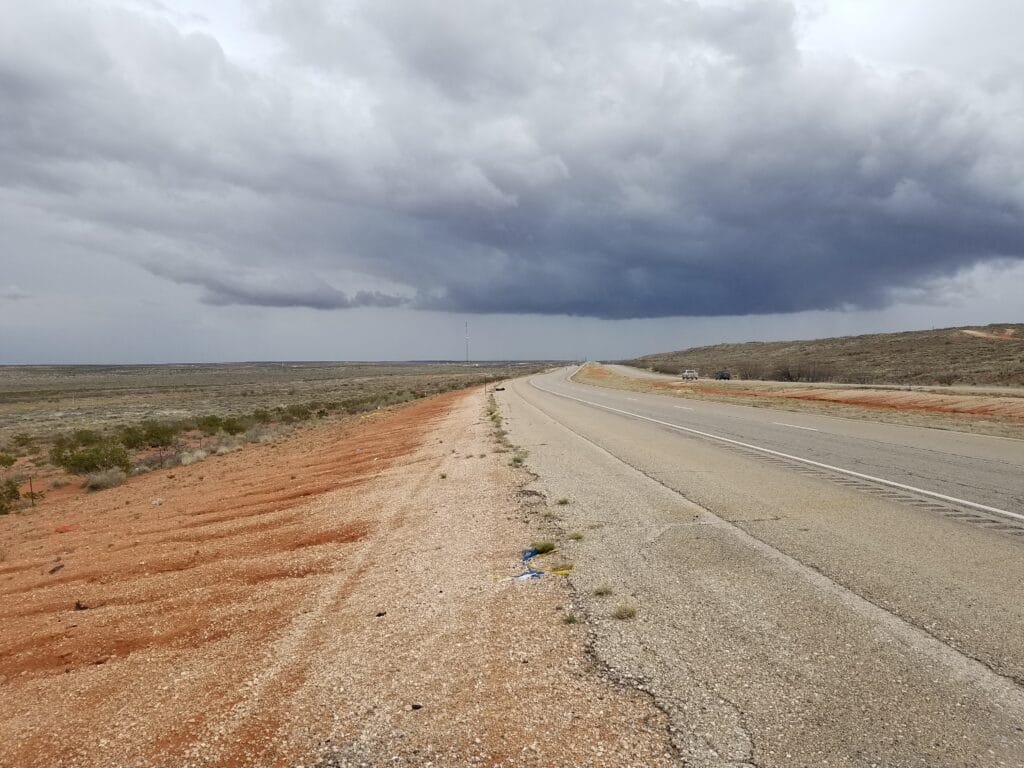
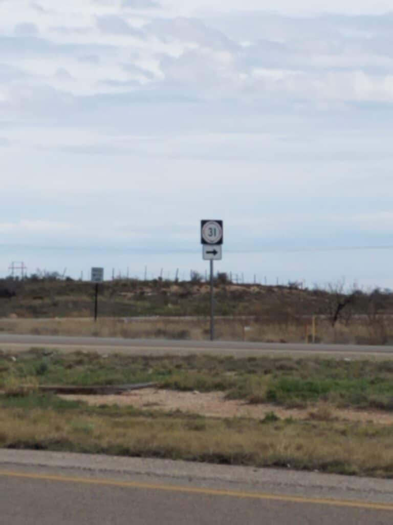
The roads in and out of Carlsbad weren’t bad. Going into Carlsbad, sometimes there were sidewalks, sometimes sandy shoulder, and sometimes just rocks and weeds. I reached Carlsbad around 10 that morning and made the turn at the McDonalds, then was off toward Halfway NM.
Heading out of town, shoulders were good, wide and flat.
There was cloud cover but it wasn’t the kind that freezes you to the bone by blocking out the sun and bringing the wind with it. Instead, the grayness just hung in the sky. It was just the perfect kind of day for running and thinking, which I did a lot of. I kept looking at the road ahead, expecting rain, but it didn’t come.
I must have stopped near the intersection with CR-31, because I have a picture of it.
3/19/2020: Halfway NM to Sims Rd outside Oil Center / Eunice NM
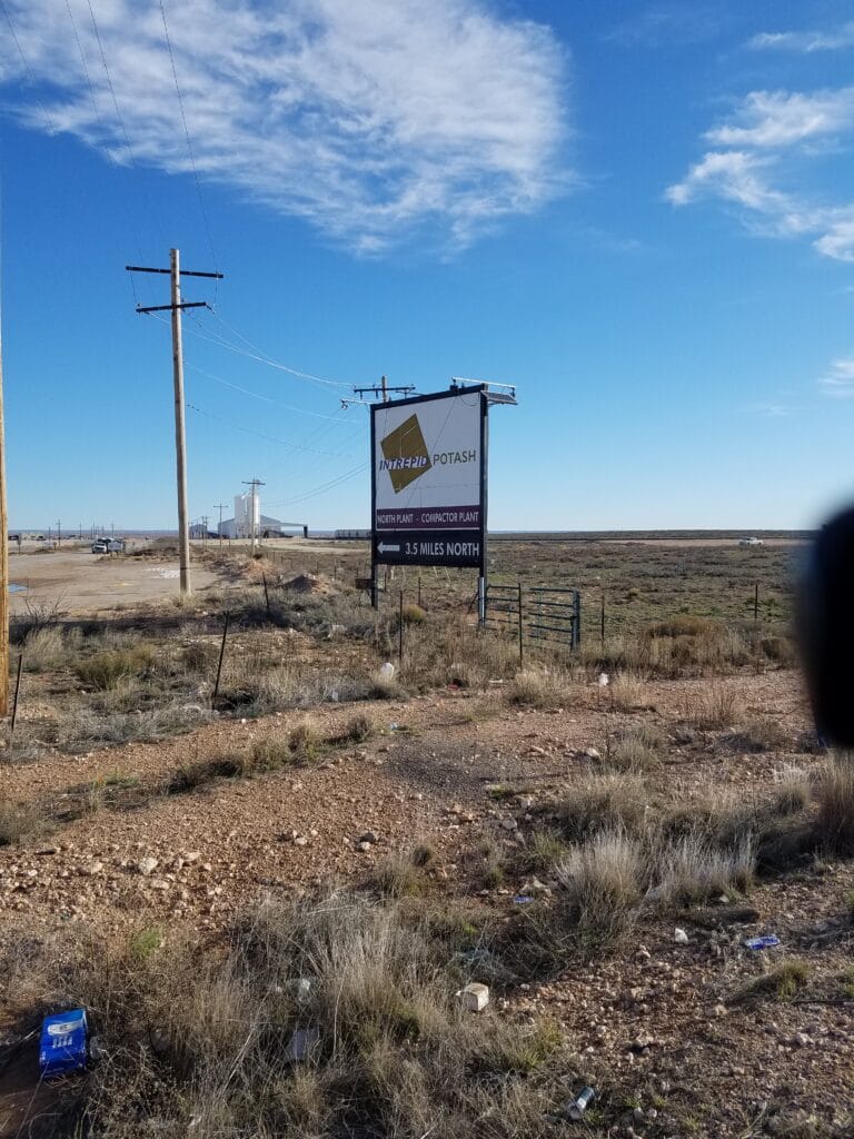
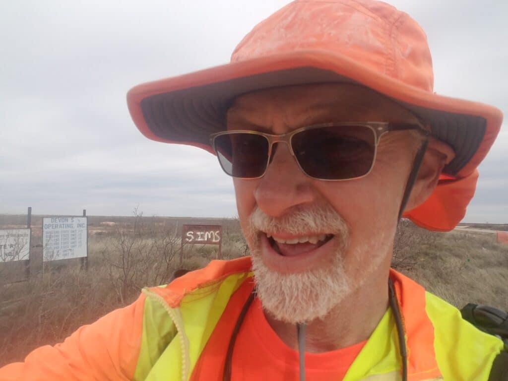
We were learning to adjust our mileage expectations down to 30-33 miles a day and be happy with it. Our goal for the day was Eunice, NM, home of URENCO, a uranium enrichment facility. Failing that, Oil Center, NM, which had a very nice park that we could spot on a map. Failing that, Sims Road just outside Oil Center. I set off that morning just after sunrise.
March 19th was one of the strangest days I ever experienced on my USA run. The day was for the most part lightly overcast and windy, clearer and calmer in the morning than in the afternoon.
As I reached the turn onto NM-176 around lunchtime, I stopped for a quick lunch where there was enough of a pulloff for Leslie to safely park the van.
There would be spurts of truck traffic from time to time, presumably going to and from either the oilfields, the potassium fields, or the uranium enrichment facility in Eunice.
After lunch, it got windier and the road quality went downhill quite a bit. I spotted a sign that said Marathon Road and thought it was funny. Nobody was going to run a marathon on that road.
Sometimes, the wind would catch my back and push me. I learned to run with my arms at my side, hands pointed toward the ground, to catch as much of the wind as I could and sail it.
Songs came and went from my head, as they usually do: mostly stuff from the late sixties, seventies, and eighties. I think I get this from the the fact that in the early 1980s, I was a radio announcer, and for safety reasons I don’t wear earbuds when I run.
What I remember most strongly from that day was humming Roberta Flack’s song, The First Time Ever I Saw Your Face, except that in my mind I heard it as “the last time ever I saw your face.” I thought of my dad and I slowed to a walk. I felt a sense of profound loss. I felt his presence in a way that was tangible and real, not ghostly, angelic, or like the hallucinations I was familiar with from my sleep-deprived Austin-to-Corpus run.
We talked for a while. I promised him I’d finish the run, and that I’d leave my running shoes at his gravesite. He said he was proud of me, that he had always been, and that I could do this. Then he said we couldn’t talk any longer, but he’d see me at the finish line.
And then he was gone.
In his place was a feeling that maybe, just maybe, I could finish the run. And now I knew why.
I reached Sims Road, about twelve miles west of the park in Eunice, a little before 5:00 PM. We drove to Hobbs, our “home base” for the next few days. COVID was on our minds, and we had begun to get picky about choosing hotels with good cleaning standards where we could stay for several days. We switched from dine-in to window pick-up, and we were just starting to become conscious of the difficulty in restocking the van at places like WalMart.
3/20/2020: Oil Center / Eunice NM to somewhere outside Andrews TX
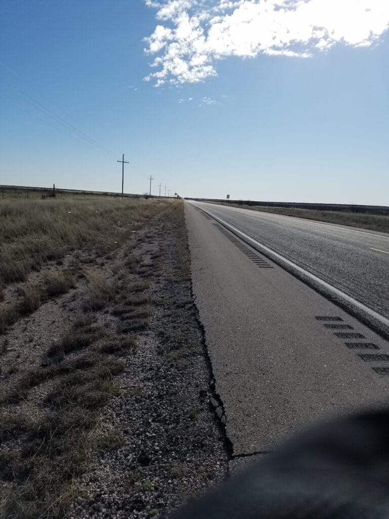
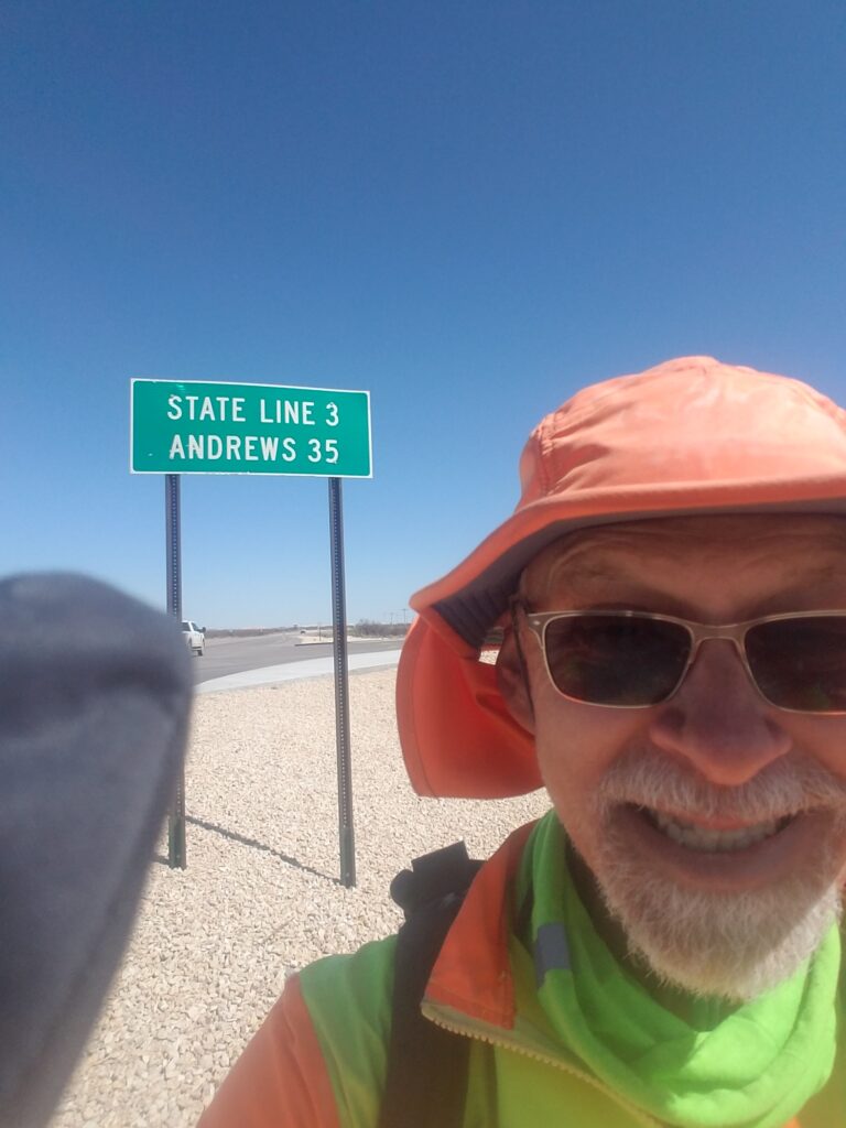
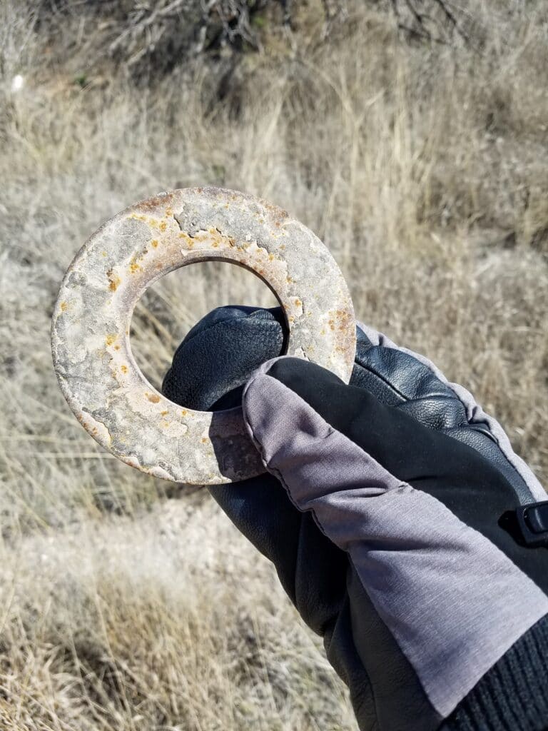
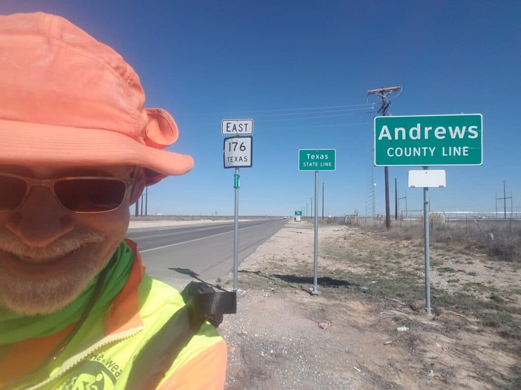
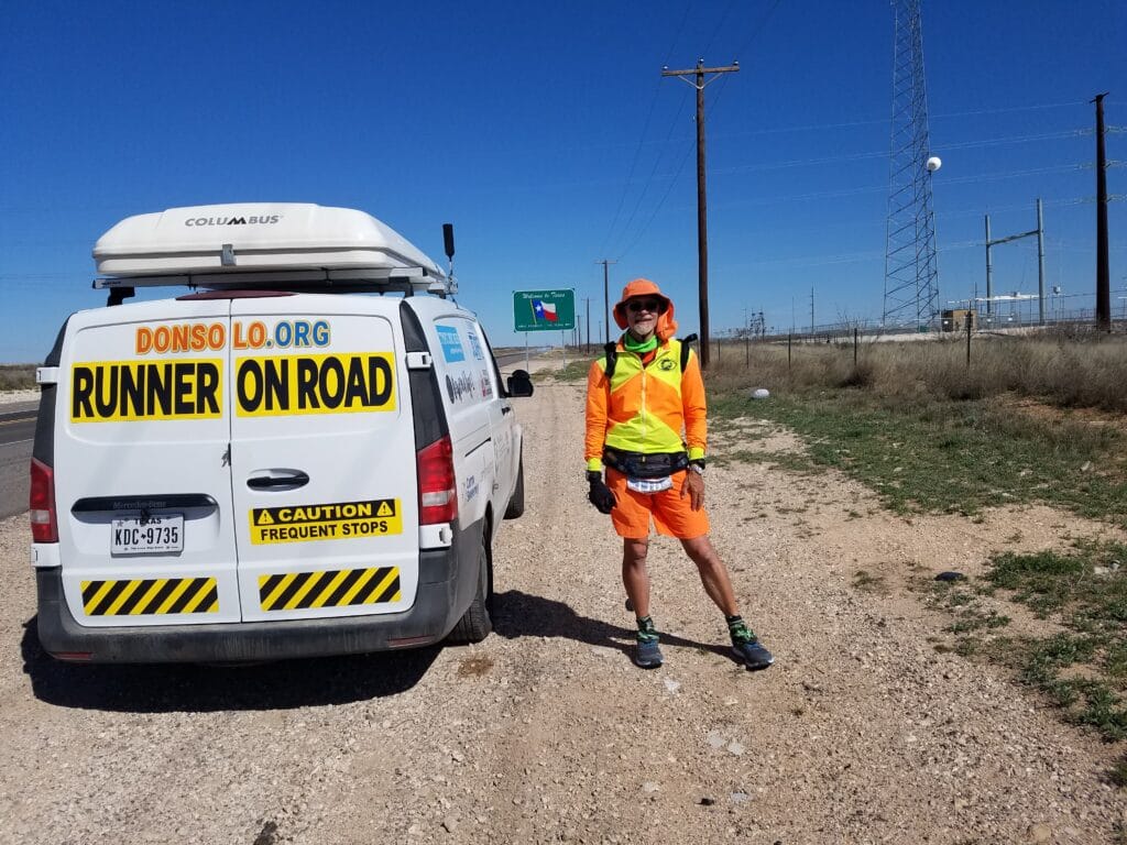
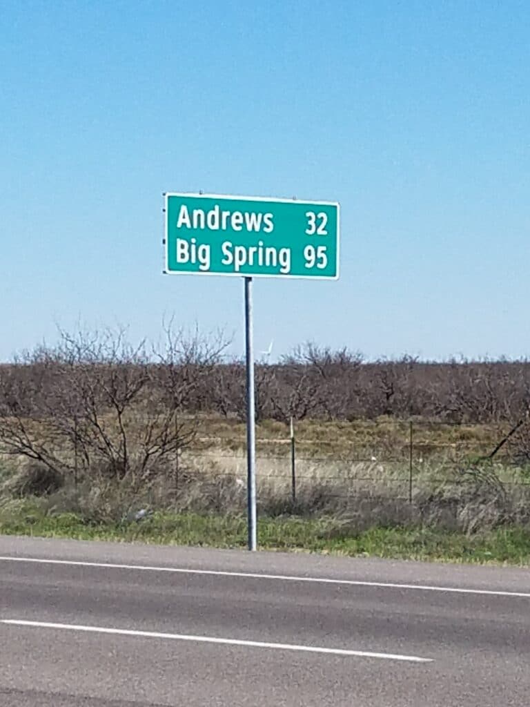
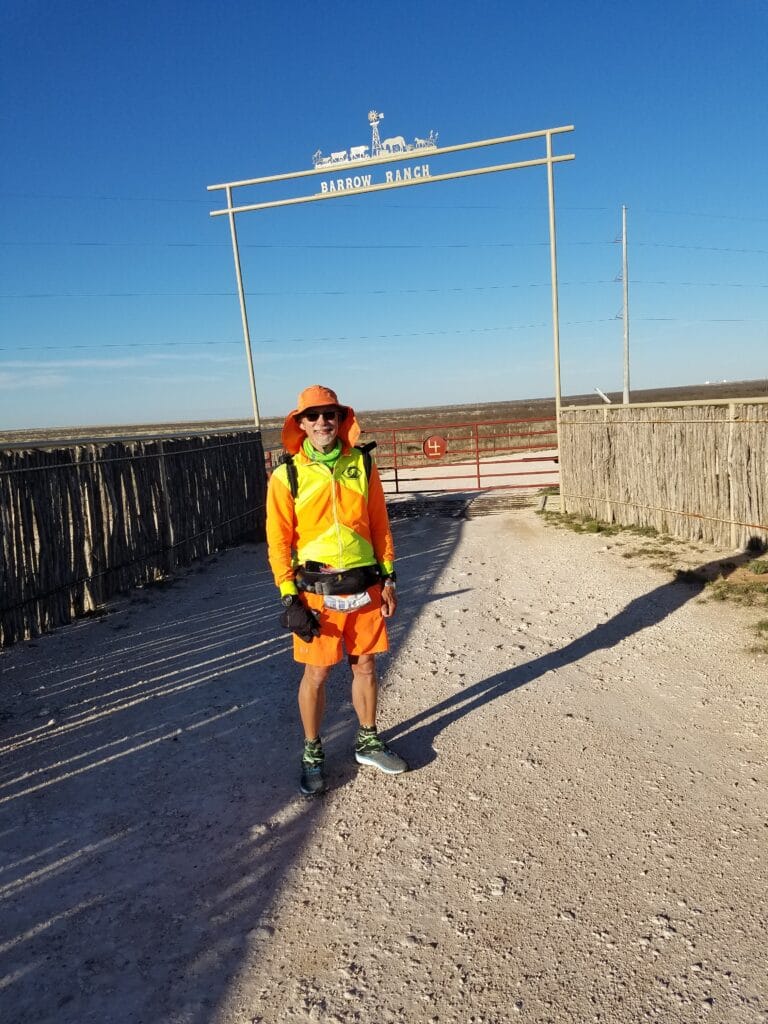
Sims Road to Oil Center was relatively quiet. I reached the little park in Oil Center around 1:00 PM, and we took our usual 20-minute lunch break.
From there, the road into Eunice was long and the shoulder was wide, and I started to notice an abundance of washers of all sizes scattered on the road. From that point onward, it came to be a second habit of mine to pick up shiny or unusual looking washers, as I had done with sparkling rocks in the Mojave and Sonoran Deserts.
There wasn’t much to Eunice’s downtown, but I did find half a dozen pennies lying on the ground outside Debbie’s Country Kitchen, and it put me in a good mood. And it was nice to have sidewalk for a little while.
As I left Eunice and the sidewalk disappeared, I began to see signs for the Texas state line and Andrews County. But after running some 20 miles from Sims Road through Eunice to the Texas state line, Andrews was still 32 miles away.
Past the Love’s Travel Stop we came upon the Texas state line. I wanted to run at least that far. I laughed when I saw that just on the near side of the state line was a garbage dump of some sort. It seemed that New Mexico wanted it as far from the center of the state as possible. Judging by the smell, I would have wanted the same, but I wondered how Texas felt about it.
I wasn’t up for a 52 mile day, so we found a spot not far past the state line, near TX-176 and Nelson Road, with a distinctive sign that said “Barrow Ranch.” That was about 22 miles west of Andrews, which made a run into Andrews the following day seem reasonable. I stopped there around 6:45 PM and we decided to call it a day.
3/21/2020: Into Andrews TX
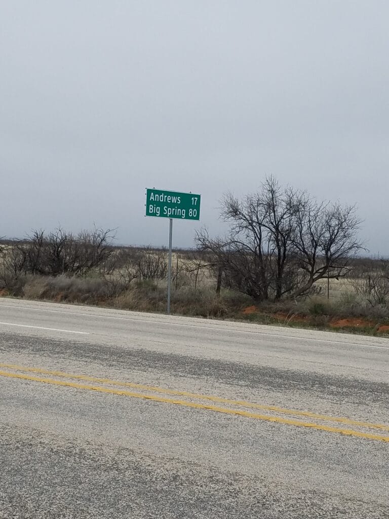
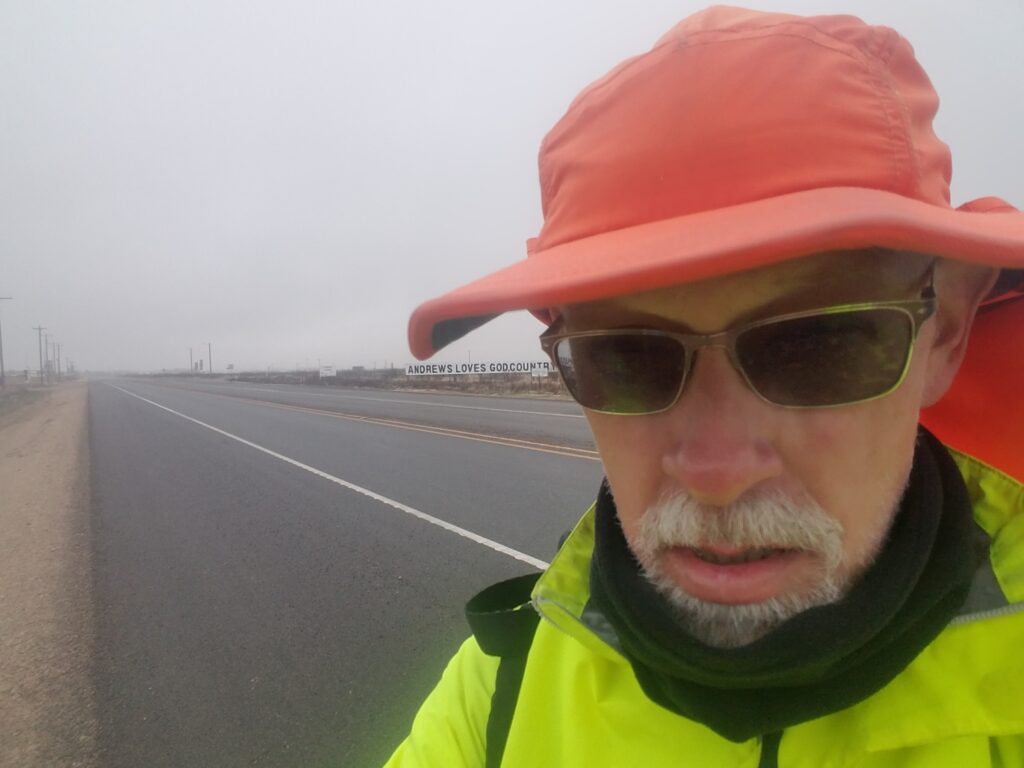
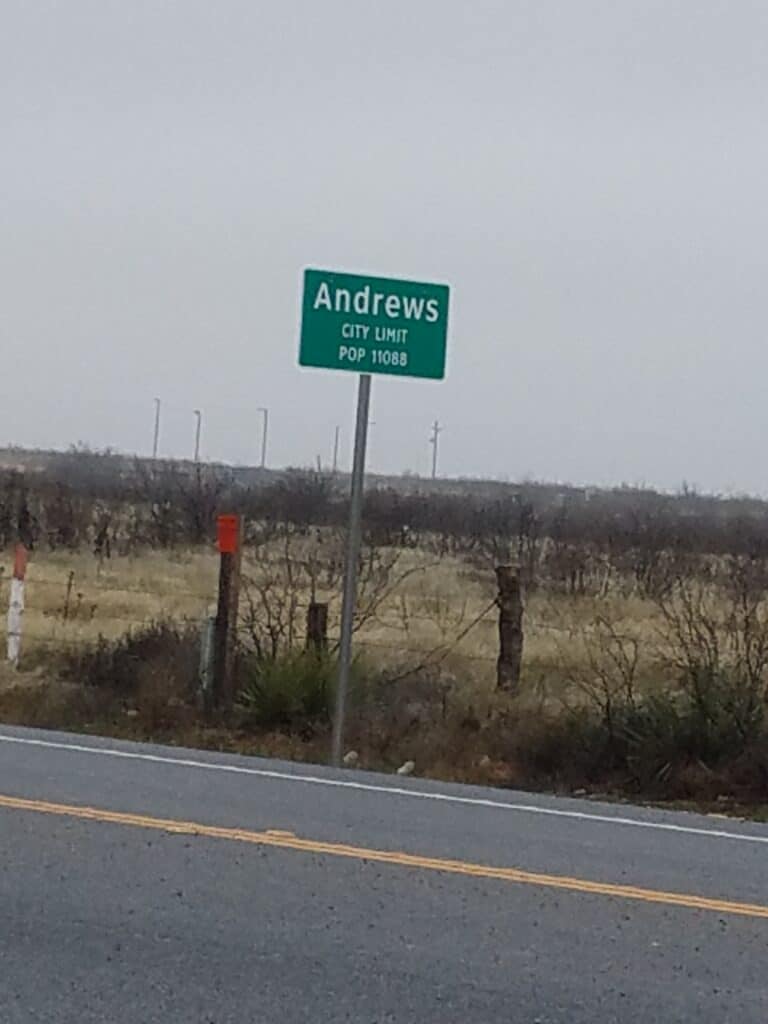
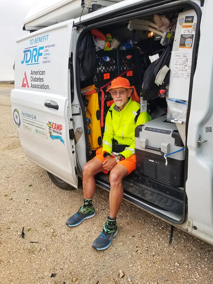
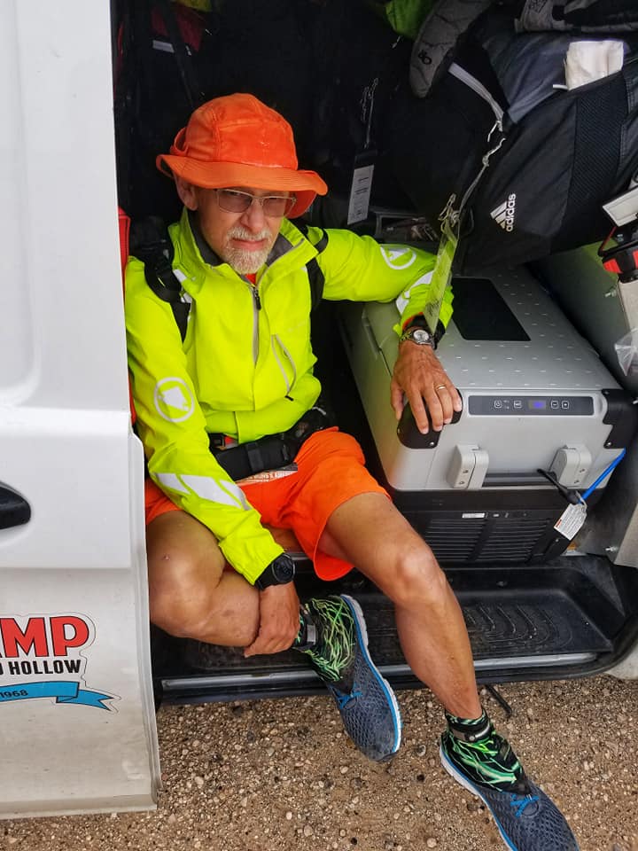
The 22 miles into Andrews were fairly quiet and uneventful. The weather was getting misty and a bit on the miserable side, but I was handling it in my rain jacket and winter buff. I didn’t take many selfies, though, because every time I took my hands out of my mittens to take a photo, it would take forever to warm my hands back up.
The cold mist continued for the rest of the day. After twenty-two miles, I decided I had had enough. My blood sugar was low, my legs were cramping, and I was freezing. We stopped in Andrews, got a hot take-out meal, and checked into the hotel.
From there, it was 32 miles to Tarzan, our next destination, and tomorrow’s problem, not today’s.
Meanwhile, Leslie anxiously followed COVID updates in the news. There were beginning to be articles about expected lockdowns in the DFW area, and she was concerned about being stuck out on the road and having to shelter in place somewhere we didn’t actually live.
3/22/2020: Andrews to Tarzan TX
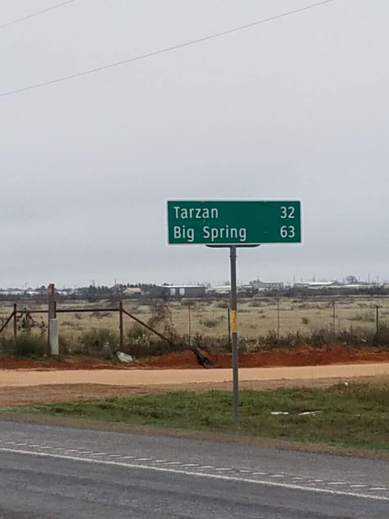
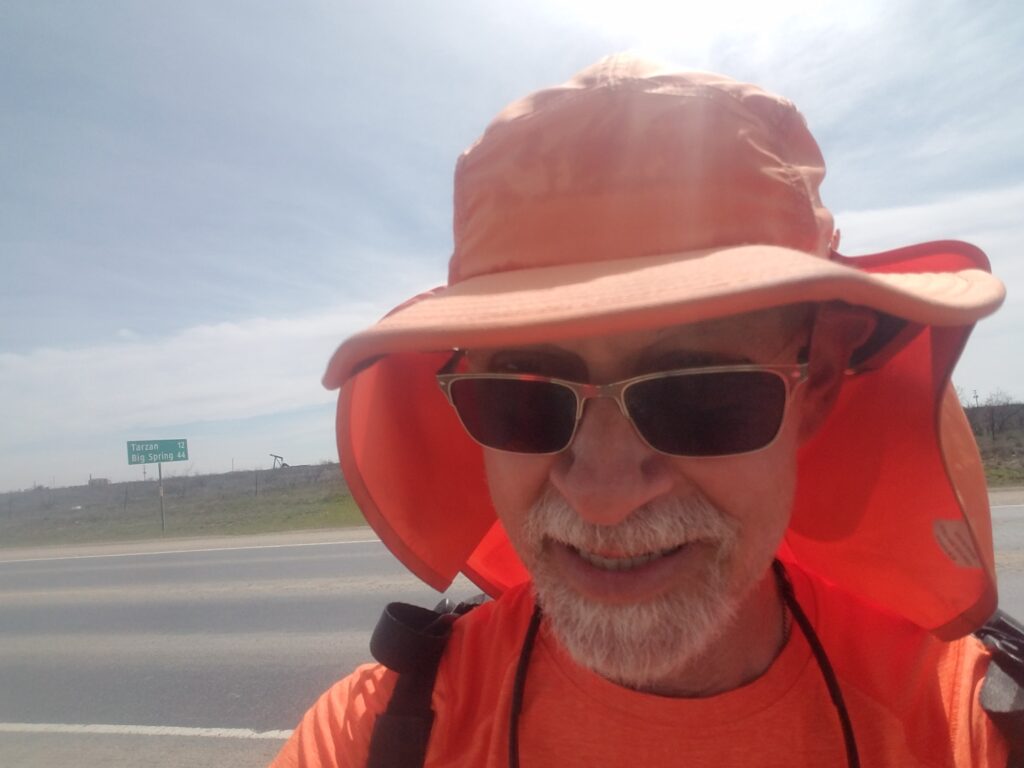
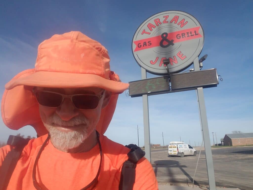
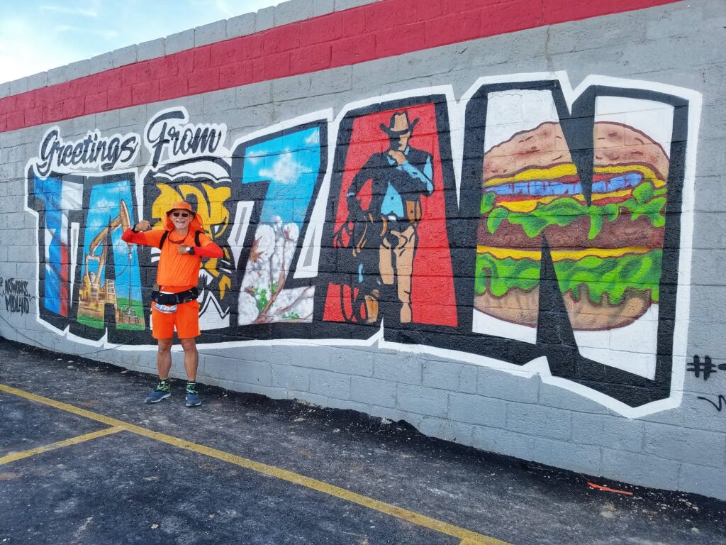
The next morning the weather was better and I felt rested. We started a little after 8:30 AM, and by 3:00 PM, we were twelve miles outside of Tarzan.
Tarzan’s one claim to fame is a place at the intersection of TX-176 and CR-2751 called Tarzan and Jane’s Bar & Grill. It’s got a sign on the side of the building that’s hard to miss.
I reached Tarzan around 6:20 PM in a good mood, ready for the next day’s run into Big Spring. Leslie drove us to the hotel. That’s when she opened up about the true level of her COVID concerns, and the news that some stores were selling out of everything.
We talked over our options: run to Big Spring and pause, try to make it to Abilene, or possibly try to make it to DFW. Each option carried with it a certain amount of risk. We were low on refrigerated supplies but could possibly make it to Abilene. If we did, though, we’d kill several days that could have been spent shopping to stock our own pantry at home, and would likely come up short. If we shopped now, way out in west Texas where people were mostly ignoring the pandemic, maybe we’d have better luck.
3/23/2020: COVID decisions, the return home, and a pause
The next day, we hit three two different grocery stores in Big Spring, both of which had people on a one-roll-per-customer toilet paper ration. Leslie and I shopped separately in hopes of getting a little more of the necessities we had avoided buying while I was trying to burn up the miles.
Remember that wonky issue with the Suunto Ambit 3 quitting not long after 1000 kilometers? Well, as soon as we got home, I tried to synch both Suunto Ambit 3 and Suunto 9 watches.
The image below is the last I ever saw of my workout. Notice the Err:12 in the last image. That’s Finnish for “I didn’t save your workout.”
At least I had had an inkling before that the Ambit 3 might not save my workout. I was genuinely stunned when the Suunto 9 Baro simply refused to acknowledge that it ever existed.
Not that the last “999 miles” photo of the Baro’s face taken around 860 miles was that confidence-inspiring.
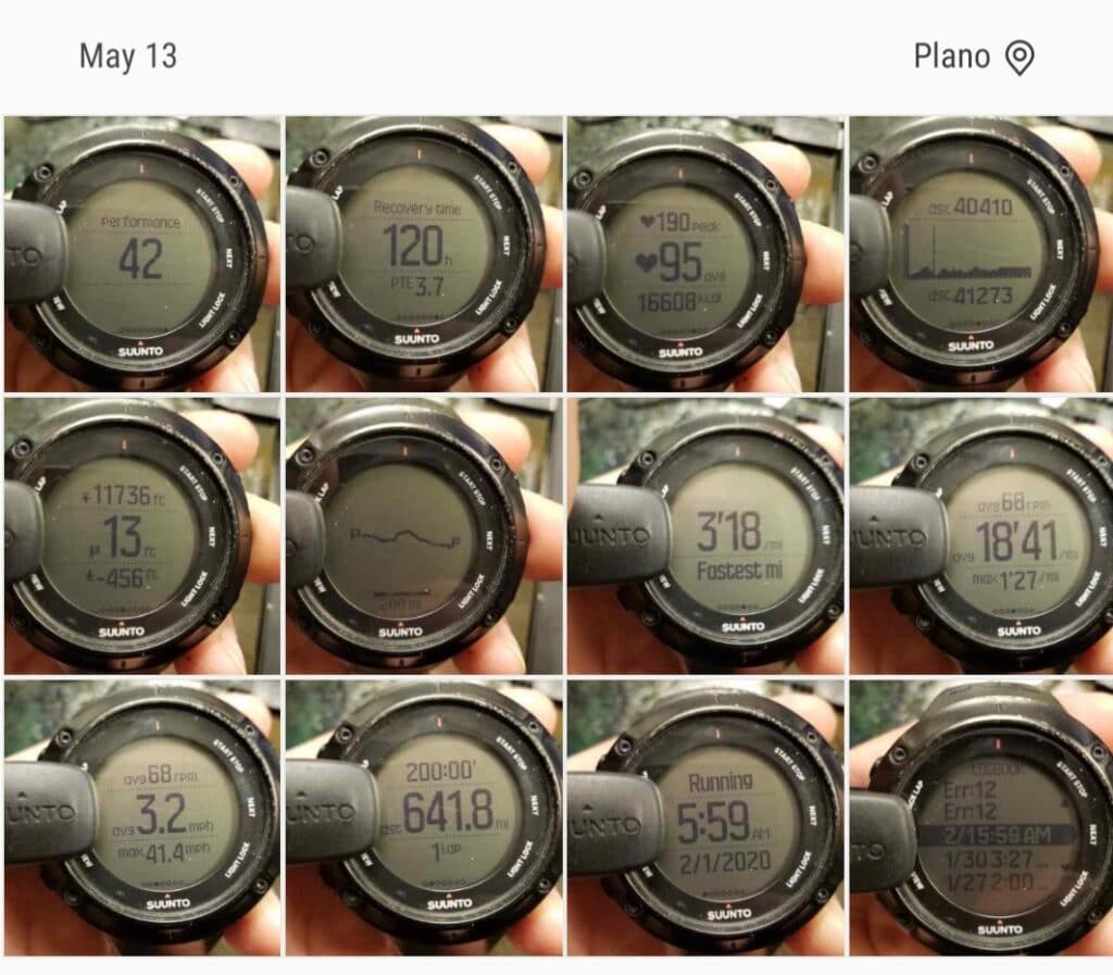
We unpacked the van, and I laid my gear out on the living room floor in anticipation of reloading it.
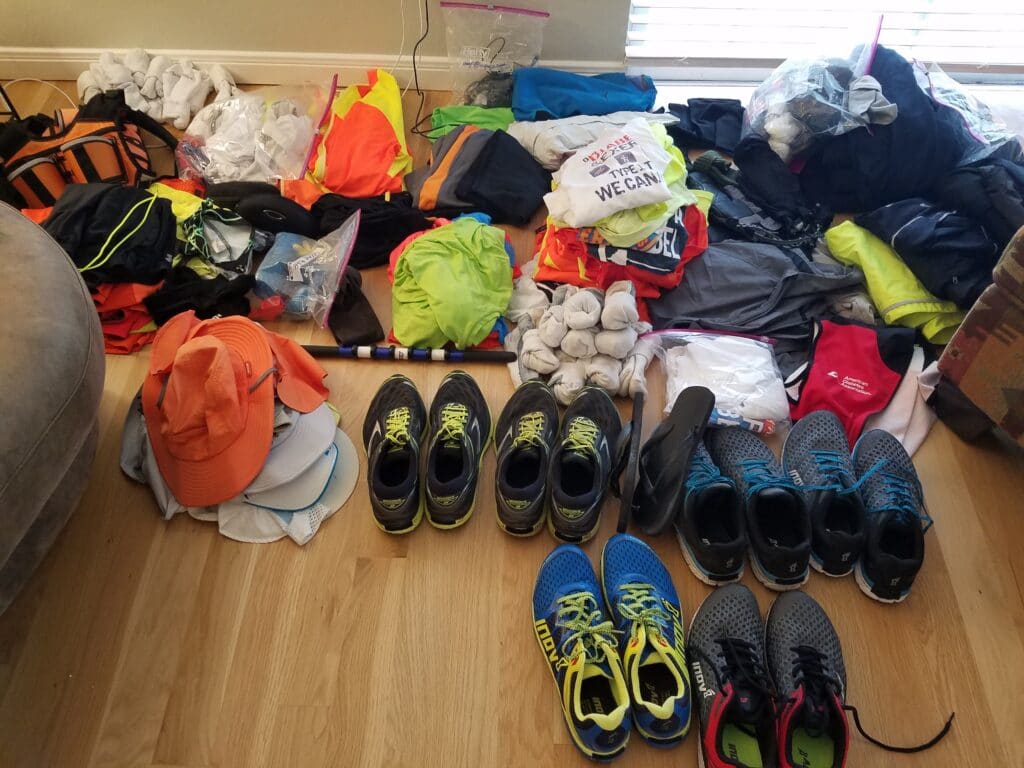
I hoped sanity would return soon, people would stop panic buying, and that I’d be back out at Tarzan in a week.
Then my hope waned to six weeks.
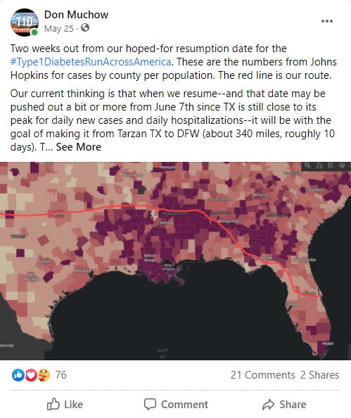
Then June. In late May, I made an announcement on Facebook that we hoped to resume then, but there was a second sharp spike in COVID cases.
Then, in a last false hope, I though maybe July. I had been training all through June in my desert gear in hopes of being ready to run the hot part of Texas at the worst time of year.
I put all these scenarios into our trip planning spreadsheet, which had everything from its own ephemeris to calculate sunrise and sunset and adjust for time zones and daylight savings time, to indirect cell references that extracted hotel information from turn-by-turn cues and amounted to denormalized database, to integrated live and historical weather forecasting from our partner, VisualCrossing.com.
I even had auto-formatting rules that coded the cold or wet days in blue and the hot days in pink (over 80 degrees F) or red (over 90 degrees F).
I finally had to admit that it was too hot, things had not gotten better COVID-wise, and that I just needed to be patient.
In an attempt to teach myself patience–the one skill I realized I had not learned very thoroughly–I took to swimming, which was meditative, and to growing apple trees from seed.
It was a good reminder that things worth doing also take time.
9/24/2020: Tarzan TX to Big Spring TX
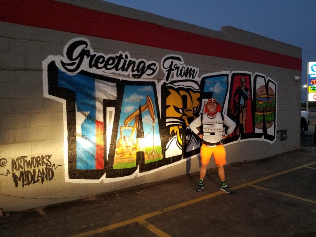
A full six months passed, almost to the day, before I had the opportunity to load up, suit up, and get back out on the road. We spotted a lull in COVID cases across Texas and parts of Arkansas, and set our sights for reaching the Mississippi River before another wave hit.
Just before dawn, I paused before the sign I had last seen in March: “Greetings From Tarzan.”
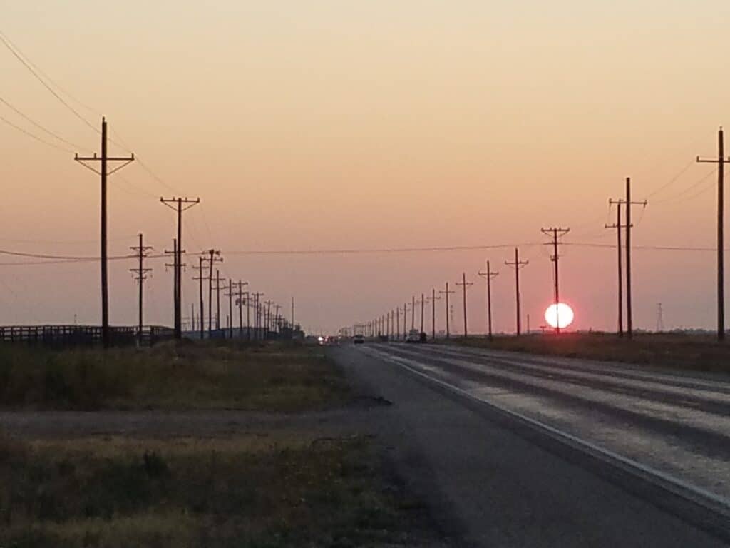
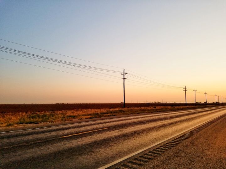
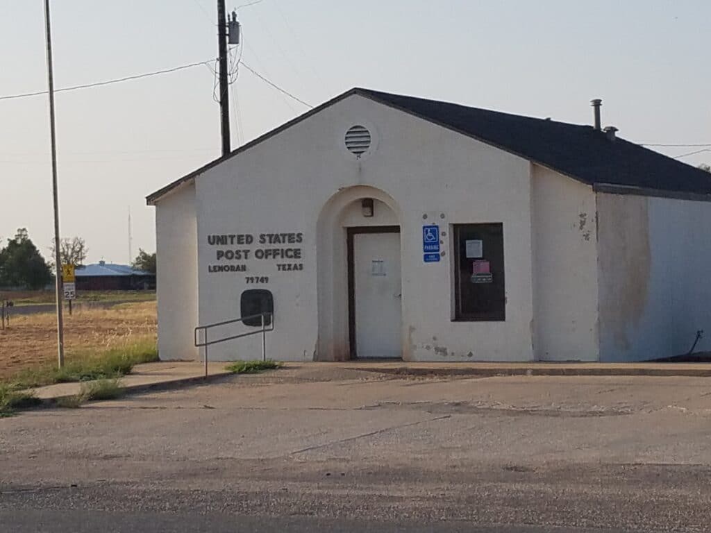
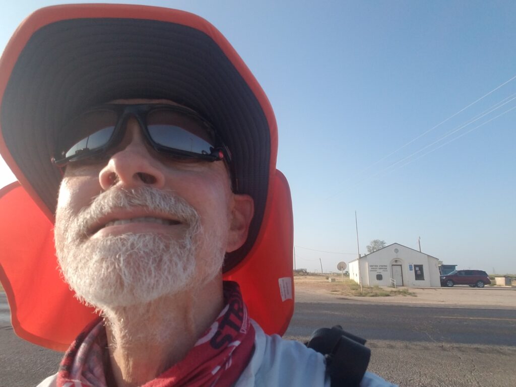
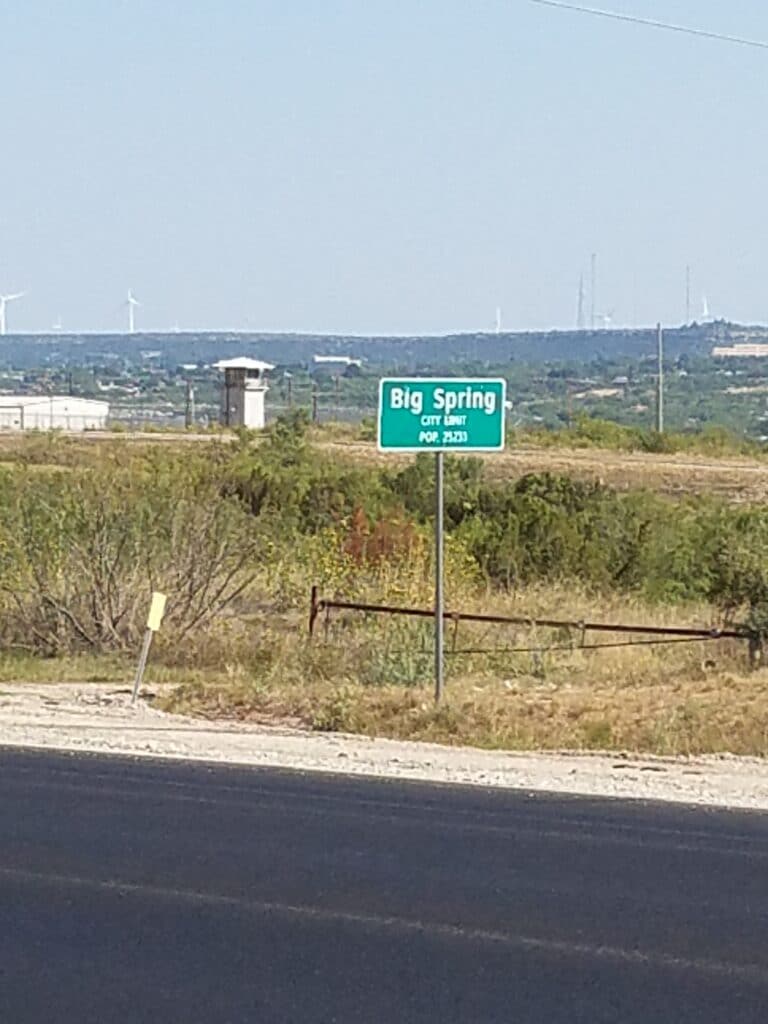
My goal for the day was Big Spring.
I resumed running in Tarzan at 7:40 AM. As I ran down TX-176, the sunrise was, as usual, stunning, tinged orange by the west Texas dust. I entered the town of Lenorah around 8:45 AM and reached the Stripes in Big Spring at the corner of I-20 frontage road and US-87 around 5:00 PM.
Shortly thereafter, we drove to Colorado Springs and our Air B&B, a cottage less than a mile south of our day stop.
This time, we were operating fully under our new COVID protocol: booking through Air B&B, which showed us properties that had been vacant for a week, staying at the same property for as many days as we could, given up to an hour’s drive to our day start or day end, wiping down all surfaces with Clorox Hard Surface Cleaner, and spreading a Tyvek sheet over either a large table or floor so we could lay out our gear and supplies without touching anything. We also booked only single-occupancy properties that had openable windows. In many cases, that meant a cottage or cabin in an extremely low-pedestrian-traffic area.
It had been a long time coming, but it felt good to be back on the road again, running the two-way frontage road next to I-20, and in the Land of Interstate Exit Gas Stations.
9/25/2020: Big Spring to Colorado City TX

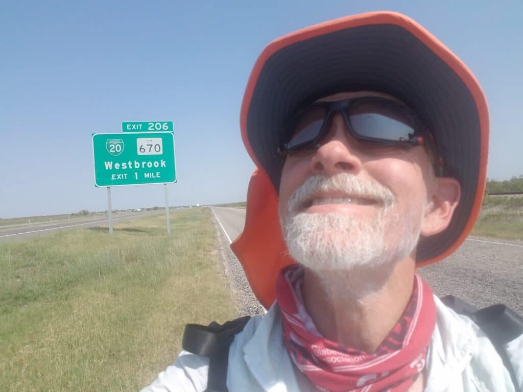
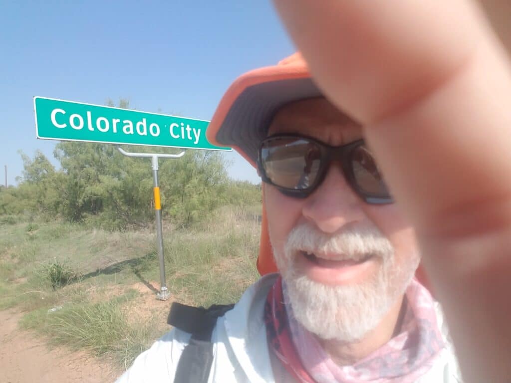
I headed out of Big Spring a little before 8:00 AM, missing my desired dawn start by a little due to the drive from Colorado City. But conditions were good: light breeze, sun, and not too blistering hot, at least in the morning.
I reached Coahoma around 9:00 AM. When I was running across Texas, the Dairy Queen in Coahoma was home to a feral momma cat and her kitten. During one of our scouting trips, we stopped by to check on them and the kitten was grown. This time, I didn’t stop at the Dairy Queen. I kept running, thinking good thoughts in the direction of the two cats.
The breeze died off as the day warmed up. I reached Westbrook around 3:00 PM, and Colorado City just after 4:00 PM. By then, temps were in the 90s, with the THI pushing it up another few degrees. The sun was beating down on me and I was walking some spots more than running. I was regularly plowing through my liquids and still drinking hugs quantities when I caught up with the van.
And the next day was supposed to be even hotter.
That night, we had take-out from Kelley Cafe. It is, in the most literal sense of the word, Old School. Kelley Cafe is the brainchild of a former teacher at the converted elementary school. Brenda, the owner, simply converted the old cafeteria into an actual restaurant, rented out some of the old classrooms to local businesses, and used the old gym as a recreational facility for the town.
During my run across Texas, we had stopped there during a downpour and enjoyed an amazingly good homestyle meal. We feared that they might have closed due to COVID, and were anxious to bring them business if they were open at all.
Brenda admits it’s been tough, but yes they’re still there, she’s on top of the town’s carry-out business, and they’re actually thriving despite the odds. The world needs more places like that. Small towns only when we stop feeding them.
9/26/2020: Heat, half day, and Colorado City to Loraine TX
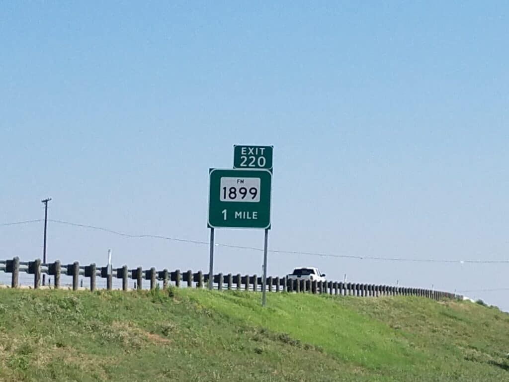
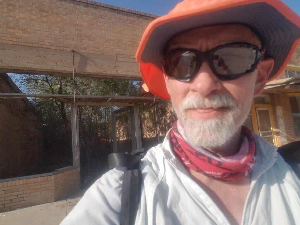
Mostly because I felt like I had had it with the heat, I slept in until 9:00 AM, with the objective of getting as much sleep and food as I could. Once I had lunch (beef Vesuvio at Kelley Cafe), I felt like I could at least walk a few miles, and despite the heat, I was refreshed enough to make it another twelve miles to Loraine.
That was beneficial. I didn’t feel like I had bailed on the day, and I wasn’t trying to beat anyone’s timeline. Twelve miles was good miles, and it put us in Loraine, a little closer to Sweetwater.
It was still plenty hot, and the 12 miles into Loraine were far from enjoyable except for their brevity.
As the frontage road veered away from I-20 and toward Loraine, I ran under a railroad on a narrow road with a bit of a blind curve to it, and had to listen for traffic and time my transit under the bridge. I ran into a townsperson who asked about the run and told me if I were ever back in Loraine he’d buy me a beer. Minutes later, I reached Loraine’s abandoned downtown at 5:20 PM, ran just past it to some stone picnic tables next to the town’s police station, or perhaps it was the town hall; anyway, it had a police car parked next to it. I had remembered that area from my Texas run and it seemed like a good place to stop given our limited goals for the day.
We drove back to the cottage in Colorado City and still had time to wish my older sister a happy birthday.
9/27/2020: Loraine to Eskota Road east of Sweetwater TX
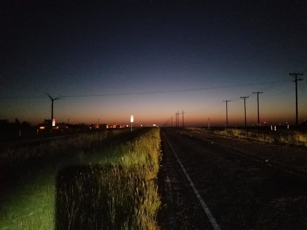
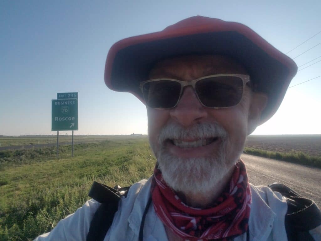
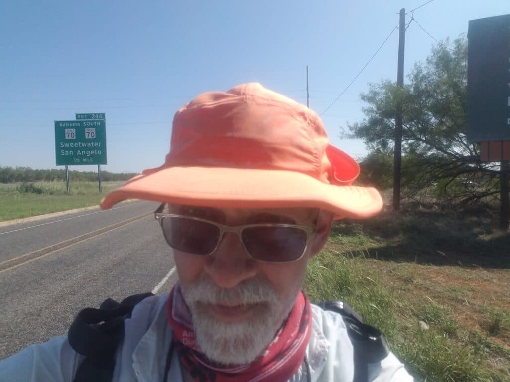
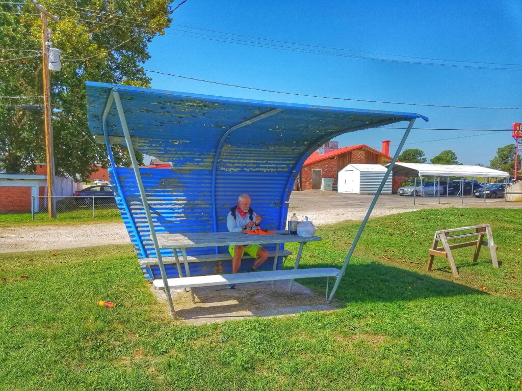
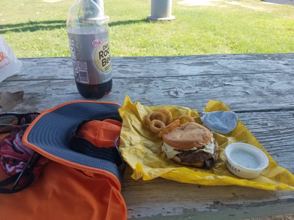
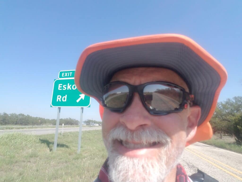
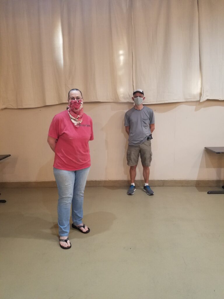
I got started around 6:45 AM in Loraine and was out of town before the sun was up. Loraine really didn’t have much of a downtown, so it was a matter of picking back up at the police station, town hall, park or whatever it was.
I reached Roscoe around 8:45 AM and Sweetwater around 10:30 AM. Leslie had driven ahead to scout a good stopping place and discovered a lone picnic table–with shade–just off the exit to CR-304. She stopped at a Whataburger for pickup and had a mushroom, swiss, and grilled jalapeno burger waiting for me that I wolfed down along with copious amounts of diet root beer we had stockpiled in a cooler in the van.
The day was warm, but not as bad as the previous two days had been.
From Loraine, the next towns were Sweetwater, Trent, and then Abilene. Finishing in Sweetwater would have only put us at 19 miles, and finishing in Trent would have put us at 37 miles, which I wasn’t quite sure I was up for after the previous few days’ activity.
During my training runs for the 223-mile Capital to Coast run, I had tried running in Central Texas in May and discovered that one bad day in the sun can shoot progress out the window for the next several days while you recover from heat stress. So instead of going for Trent, we picked a spot at around 27 miles, about ten miles west of Trent, where the Interstate exited to Eskota Road. It was just past Sweetwater by a few miles and made the next day’s run into Abilene reasonable.
I reached Eskota road around 2:48 PM and decided to get a decent dinner and some extra rest.
It just so happened that this time, we ran into our old friend Brenda, the owner of Kelley Cafe, and managed to get a nice, socially-distanced photo with her. And of course I had the beef Vesuvio…again.
9/28/2020: Eskota Road to Abilene TX, and a TV appearance
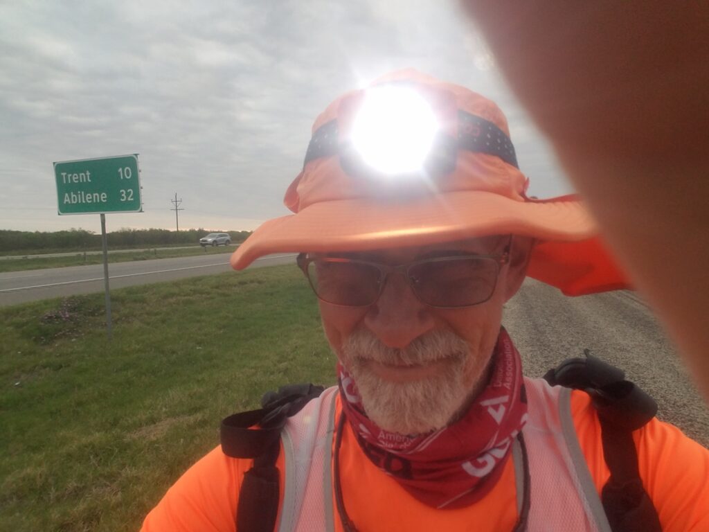
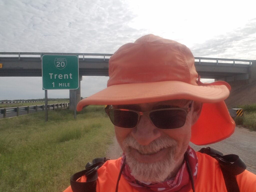
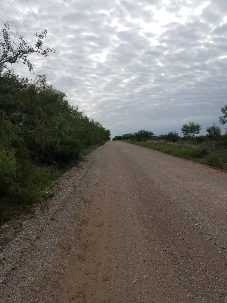
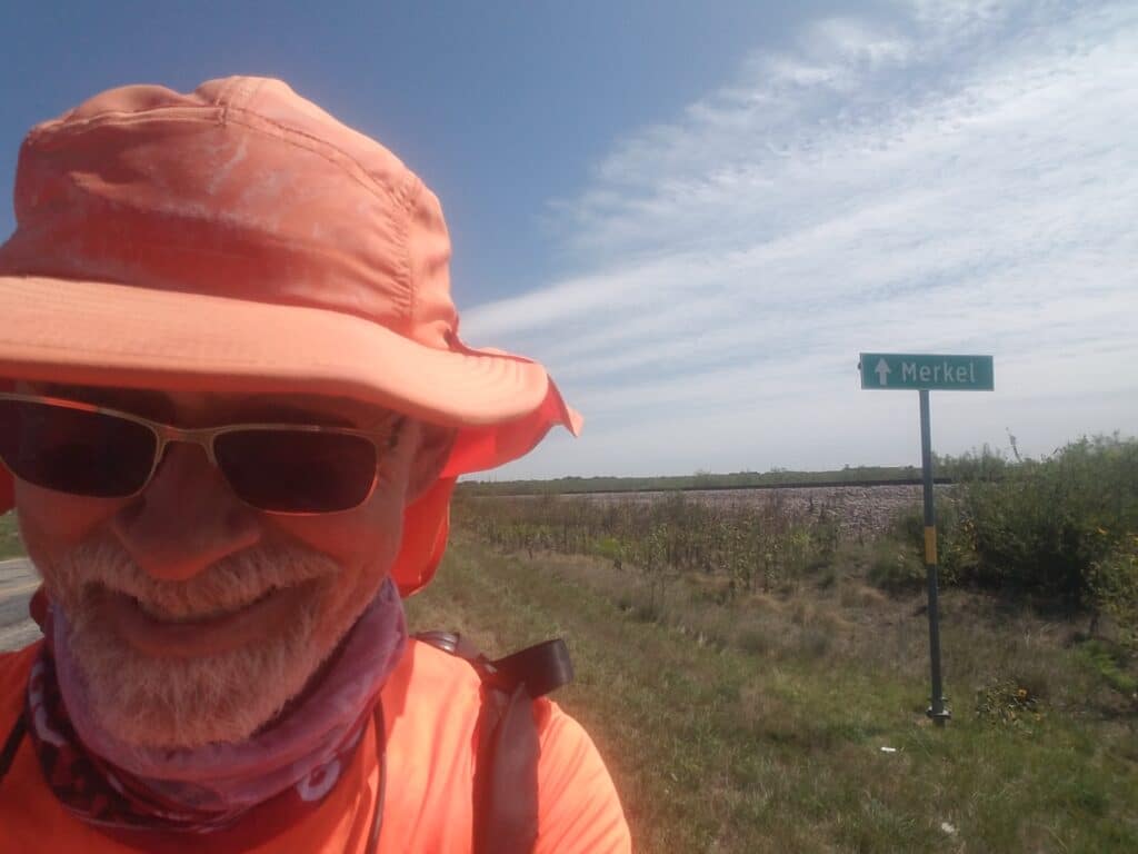
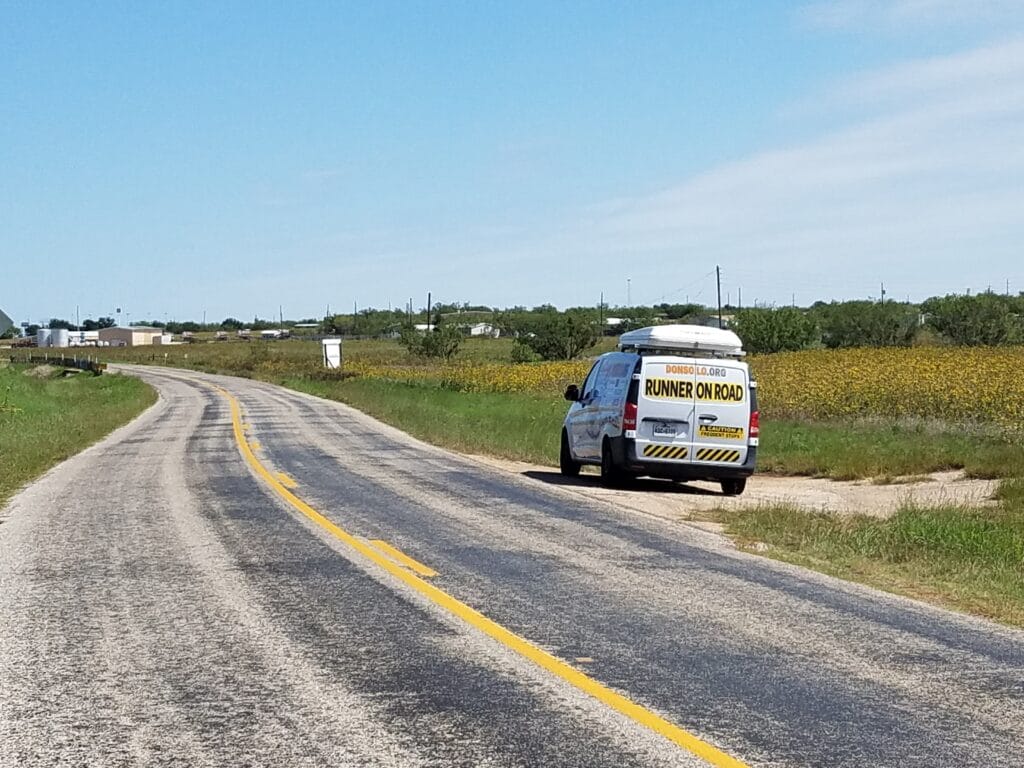
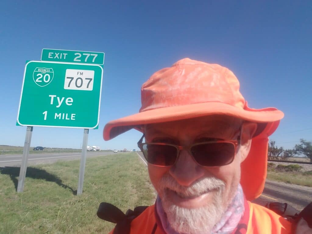
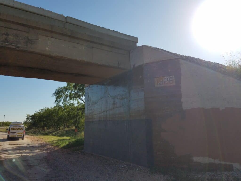
We started the day at 8:00 AM, ten miles outside of Trent. Leslie had been talking to KTAB / KRBC-TV in Abilene about trying to arrange an interview once we got into town. We weren’t sure, though, when we’d be in town, and since Abilene (their market) was our days-end goal, it didn’t leave much time to edit the interview and put it into production before the five o-clock news.
Due to the fact that the frontage road ran out where I-20 crossed over a railroad, we also had about 3 miles of backroads and dirt roads to travel to get around it and weren’t sure the crew would find us.
I had just made it through the dirt road section around 9:30 AM and emerged back onto the two-way frontage when Leslie told me that the TV crew had located her and done an interview, and wanted to find me, do an interview as well, and get some shots of me running.
The TV crew caught up with me just outside Trent, near a gas station that was just past a cement-paved section of the almost-forgotten historic Bankhead Highway (yeah, I know: it just keeps finding me).
After the interview, I continued and reached Merkel around 1:30 PM. Leslie parked the van next to a beautiful field of yellow wildflowers and we had lunch and talked about the interview. They had talked to us for a total of about 45 minutes, and a lot of our favorite parts didn’t get included, but I thought they did a great job of summing up what it was like to be out there running, and why.
At around 4:00 PM I reached Tye, on the western outskirts of Abilene, and as I neared the turn for Arnold Boulevard around 5:15 PM, we passed under a bridge along a section of the Bankhead that had been built in 1926. It was still traversable, but it was half-paved, half-dirt, riddled with potholes and wasn’t doing all that well. That said, hanging to the old highway’s route has helped us avoid many deadly multi-lane highways and traffic snarls.
I reached Abilene and finished the day a little after 5:30 PM at the Alon at the corner of Arnold Boulevard and 7th Street.
9/29/2020: Abilene to Baird TX
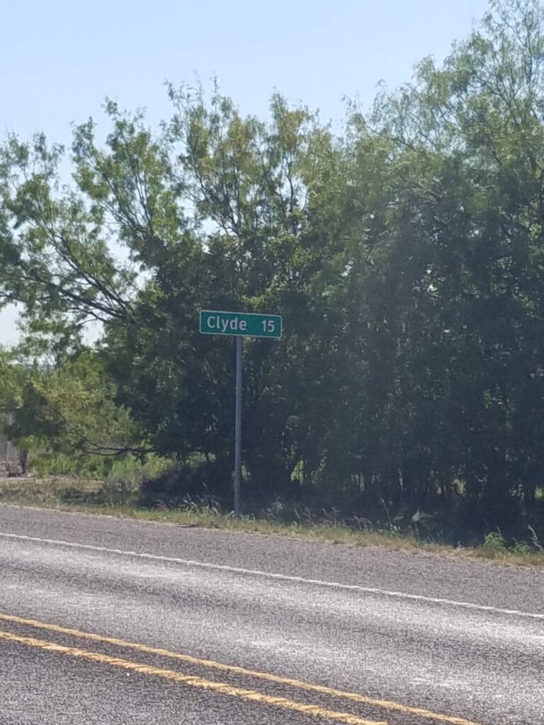
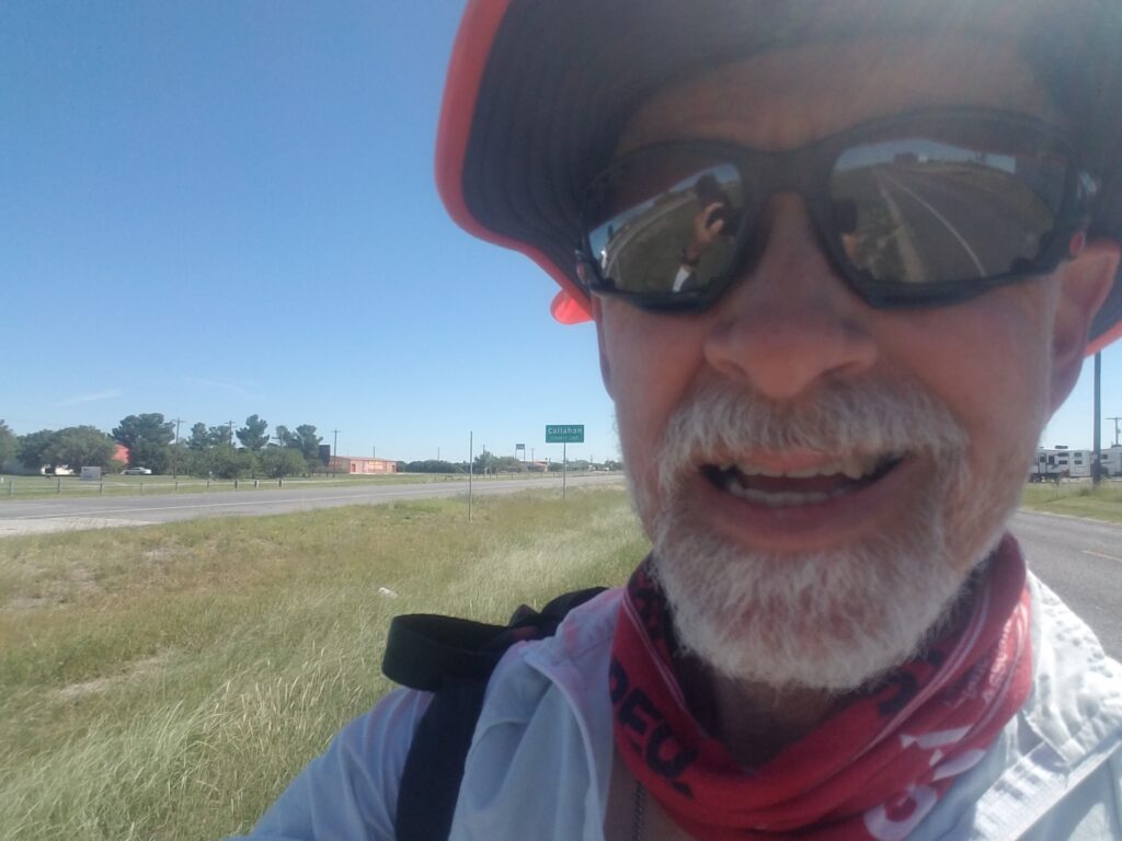
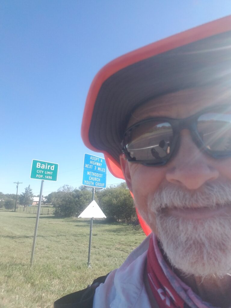
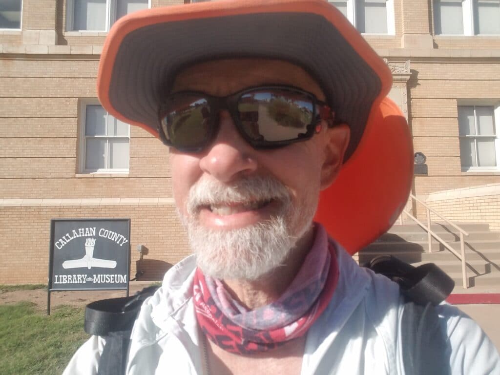
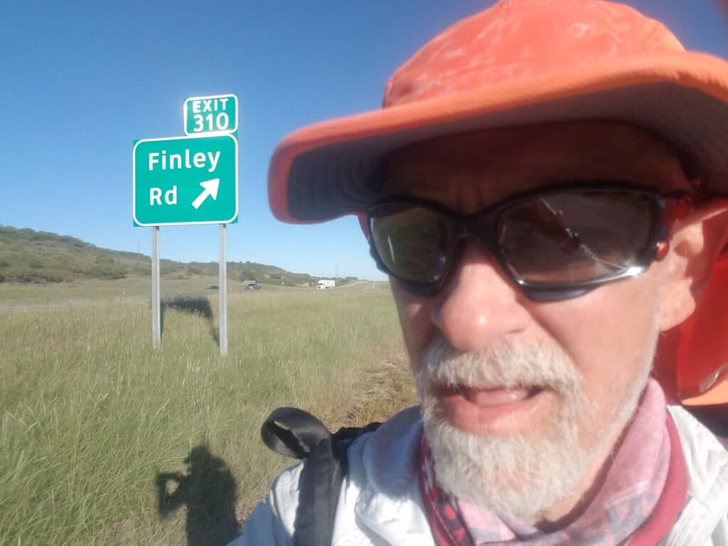
7th Street in Abilene is not much to talk about. It’s wide and two lanes in either direction, but the shoulder is overgrown with thorn bushes and some pretty unfriendly weeds. I started around 8:00 AM and mostly tried to dodge traffic.
Once I got past that and reached the downtown area around 8:30 AM, there was sidewalk and things quieted down. I ran along 7th past a donut shop and a record store I remembered from the Texas run, until I got to Treadaway and turned south to pick up 11th / CR-36 and head out of town.
I ran past the Zoo and a nice park whose trail I borrowed to get as far as I could toward the underpass at CR-322 / Jake Roberts. For all intents and purposes, Abilene ends there, and I followed the shoulder to my turn onto CR-18 toward Elmdale. There was a gas station just before my turn, then a railroad crossing, and after not long I was back onto the two-way frontage on the south side of I-20.
I started counting off the miles to Clyde, a town where we had stayed at an RV park the previous year during my run across Texas. White’s RV park had a little kitten that seemed to want to be everyone’s friend.
The run into Clyde and then into Baird was, as I had remembered, a bit of a roller coaster of hills. Last year the hills had seemed endless, but perhaps because I was in the area in a cooler part of the year, or perhaps just because I’d been here before, they didn’t seem as noisome as before.
I reached Baird city limits around 4:30 PM, and took a selfie at the Callahan County Courthouse to mark mile 1423 and the official halfway point of my run across the USA.
I continued through Baird until I reached the exit for Finley Road, about 28 miles for the day. We wanted to keep the mileage under 30 for the day since our COVID plan included driving to a cottage on a farm road about 30 miles away in Cross Plains TX and we wanted to be able to locate it before sunset.
Our timing worked out perfectly: we reached the cottage just as the last rays of the sun were peeking over the horizon.
9/30/2020: Baird to Eastland TX
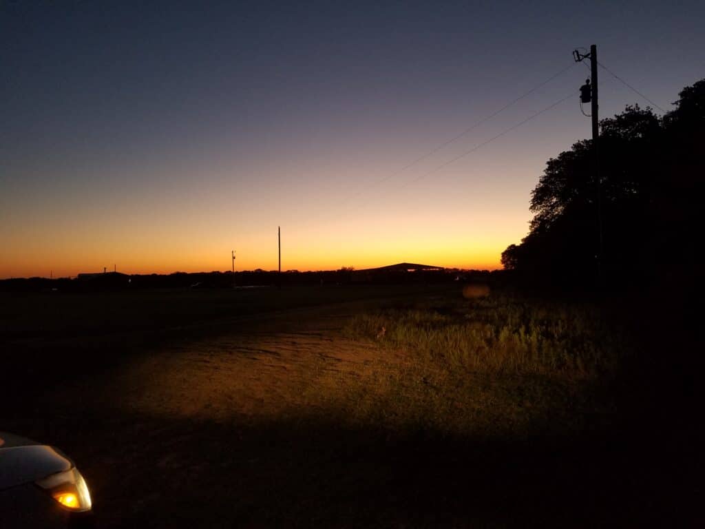
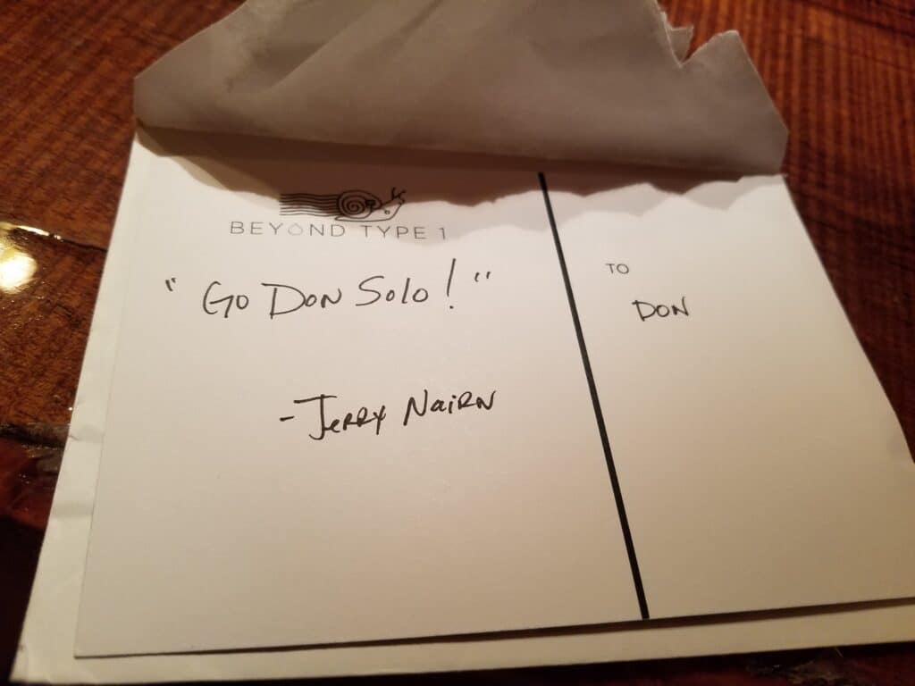
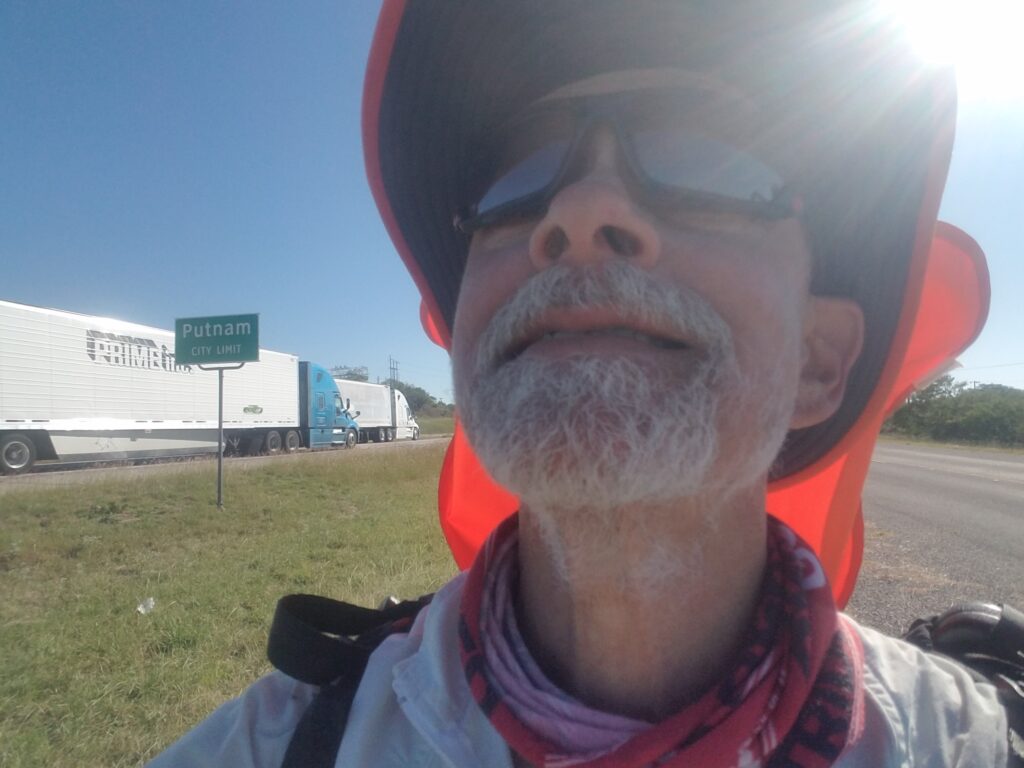
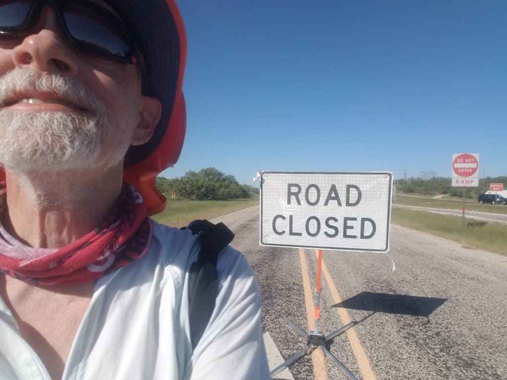
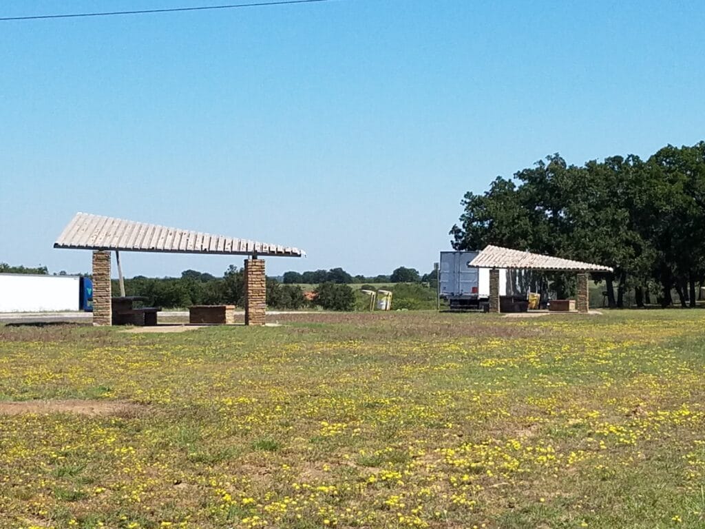
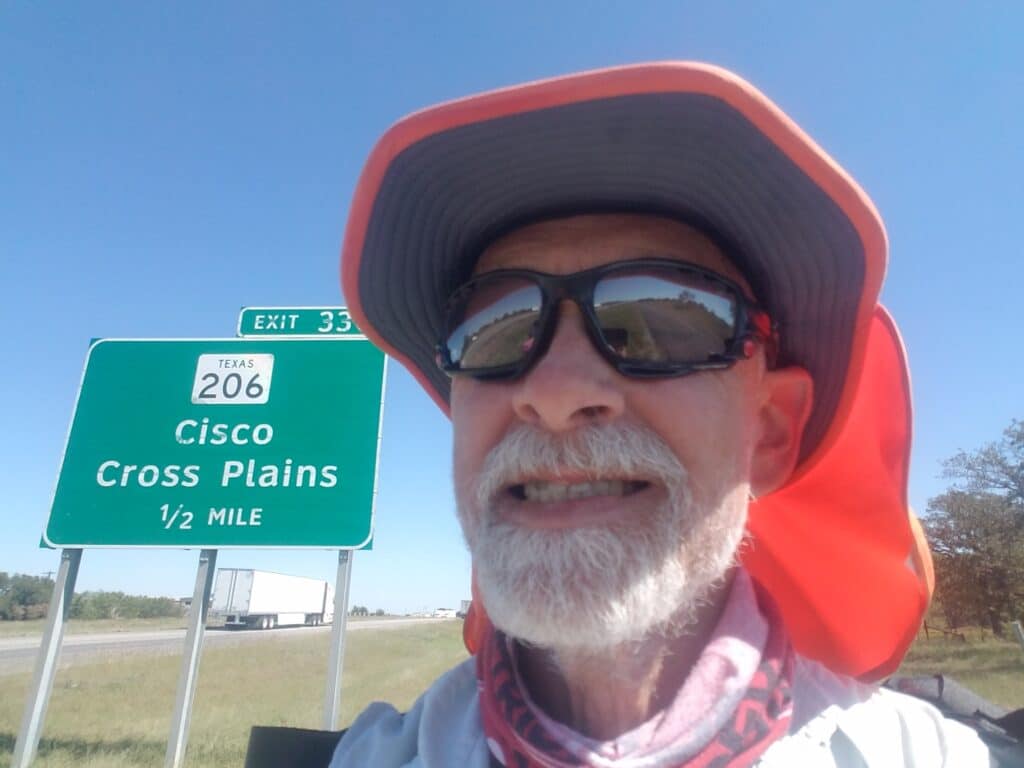
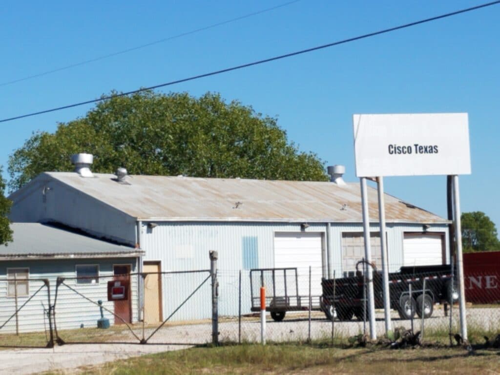
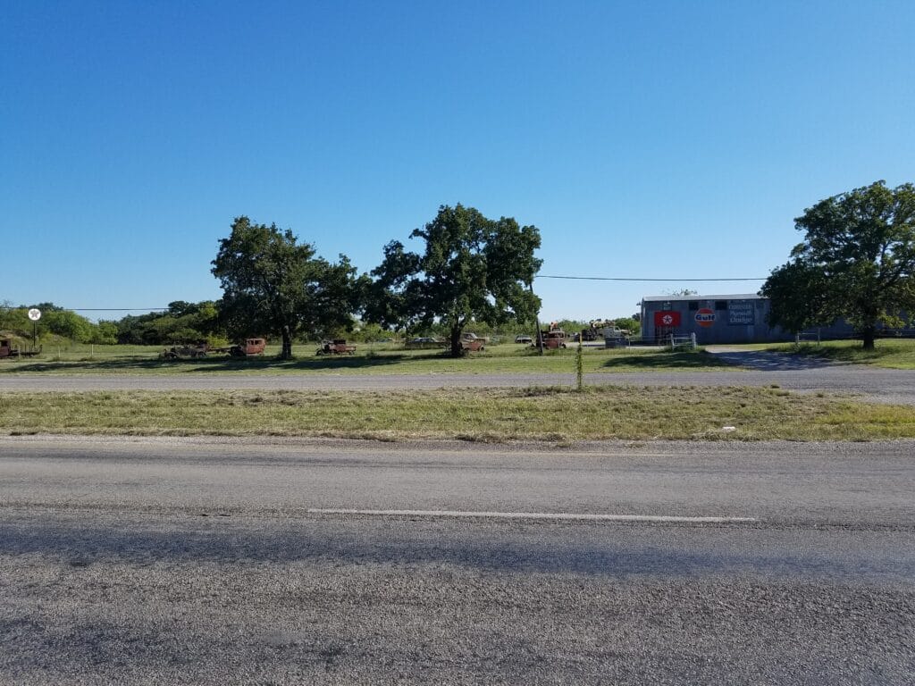
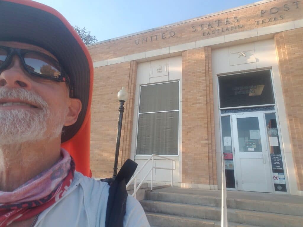
Dawn at the farm cottage was just what you’d expect: serene and beautiful with the sounds of animals waking up. We made the drive back to Finley Road and I continued the run toward Eastland.
That morning, just before leaving the cottage, I decided to open the note from the Tandem team that said “somewhere on the road.” I figured the halfway mark was just about right.
It was a note from Jerry Nairn, who had run the first dozen or so miles with me from Newport Beach. I wondered what Jerry was up to and how the months of nothing but bad national COVID headlines had treated him. I made a mental note to check in with him once I got to the finish line.
It warmed my heart to hear from Jerry, and I hit the road with a little pep in my step. Today was going to be a good day.
I reached Putnam around 10:15 AM. We had discovered during our scouting trip that at Putnam, as had been the case just before Trent, the frontage road gave out at a railroad crossing, necessitating a route-around. I crossed under the Interstate and got onto CR-2945, a quiet two-lane road that took us nearly to the next exit. The same railroad that blocked continuing on the frontage road crossed under the Interstate and ran parallel to 2945 for a while. It just so happened as well that there was a train on it.
Leslie had driven ahead to our next meet point where the two-way I-20 frontage road resumed. Just before the turn on CR-425 to return to the frontage, there was a rather questionable looking railroad crossing, the type that gets semi trucks stuck. The van, apparently had made it over nicely before the train and was waiting on the other side of the Interstate.
As I approached the railroad crossing, the train was just leaving the crossing, and I hopped over to the other side and continued.
My train juju was still strong.
Just after entering the city limits, we hit what could have been a major snag: there was a paving crew on the road up ahead and a “Road Closed” sign just ahead of me.
At about the time I was noticing that and waffling over whether to run it–not an uncommon practice since I was a pedestrian–I got a text from Leslie saying that the road crew had waved her through, that the road was closed for another 3+ miles, and that she’d be waiting on the other side.
For once, I had the road all to myself. But I didn’t want to test my good luck, and I cringed at the thought that we could have easily had to scramble to find an alternate route that would doubtless add miles, so I hurried along the road to get clear of the paving crew.
They waved as I went by.
At around 1:30 PM I reached a picnic area on the south side of the Interstate where Leslie had pulled off and prepared lunch. It was the longest I had waited for lunch in quite a few days, and I was feeling both hungry and a bit rushed by the effort to get past the paving crew.
I no longer remember what it was, but lunch tasted especially good that day.
I reached Cisco around 3:00 PM and unlike the previous year when I’d continued along the frontage to the turn into Eastland, this time I turned at the Flying J truck stop along CR-206 / CR-6. Heading diagonally through Cisco toward Eastland shaved a mile or so off our original route through Texas, and looking back at our forced USA re-route in Arizona, I was glad I had eliminated every mile I could.
By the way, that is the real font on that Cisco sign. It’s not Photoshopped.
In Cisco, I ran into a lady who asked me if I knew Jesus. I told her it was impossible to run across the country and not meet God. She asked me about my run and what it was for, handed me a bottled water, and prayed for healing. I wished her a blessed day and returned to running, anxious to not fall behind on miles again, and at the same time anxious to get done well enough before sunset that we could find our accommodations without a flashlight.
CR-6 wasn’t a bad route, but it was fairly featureless compared even to the I-20 frontage. At around 4:30 PM somewhere near CR-177 I ran past a field full of rusted antique cars, and finally reached Eastland city limits around 6:00 PM. It was 6:30 PM by the time I reached the post office downtown, and I stopped at the Brookshire’s at Main and Seaman 3 blocks past it.
It was a good day. I logged 28 miles, and we even still had an hour to make it back to the farmstead in Cross Plains.
10/1/2020: Eastland to Strawn TX
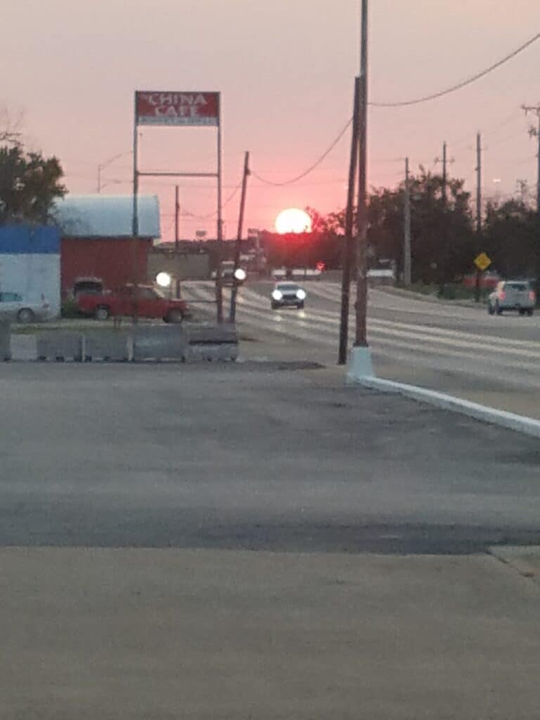
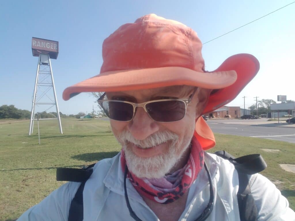
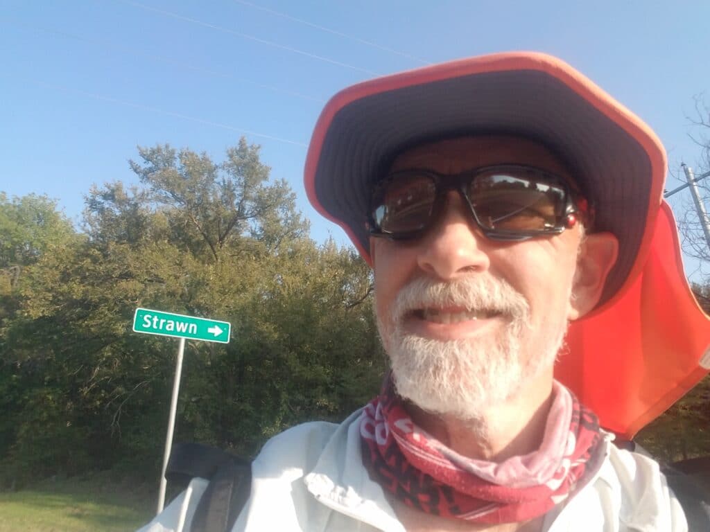
The next morning I started running around 7:30 AM. Dawn wasn’t what I would call stunning, but I’ve come to appreciate that every one of them is beautiful. Keeping in mind that I’m not a morning person. I run at dawn because I like finishing before sunset. But dawn is a part of the day that many people aren’t up early enough to see, and in just a handful of minutes the color of the sky can change rapidly.
I still had to run the remainder of the town’s restaurant and hotel district, perhaps a couple of miles, to reach the frontage road heading toward Ranger. Just next to Heff’s burgers I spotted a little heartbreaker: a feral kitten who had camped outside to hunt leftovers. She seemed to be doing all right.
From there, Ranger is about six miles away, mostly north, and I reached Ranger without much ceremony by around 10:30 AM.
We had to route through Ranger. Here’s why. First, the Interstate frontage gives out not long east of Eastland, just before the Eastland County Safety Rest Area. The road goes on for a bit, through the next town or two, then it gives out as the road rises up a steep hill and an area of Interstate once called “one of the most dangerous roads in Texas.” (It would perhaps come lower in the last than TX-302 between Orla and Kermit, however.) For the last year, crews have been working to widen the Interstate, move it a bit further south, and build a frontage road paralleling it. But it’s going to be a long, drawn-out process since there’s really no frontage road east of the rest area for miles and miles. Finally, even if one did follow I-20 frontage (which isn’t there) toward the southwest side of Ft. Worth, I-20 joins I-30 in what amounts to a very, very busy tangle of roads, and there are only a couple of ways to enter the Metroplex on local roads.
It’s far easier to head through Ranger, navigate the narrow, two-lane CR-717 toward La Casa, and then head east along CR-207 to Strawn. It’s not shorter, but it’s a lot less hassle. Perhaps a year from now somebody somewhere will be able to take advantage of a more direct route. But not me.
Heading out of Ranger is one of the strangest sights I’ve seen, and unfortunately I don’t have pictures from this year’s run (I do from my run cross Texas): it was signs on the east side of the road in multiple locations that said “Prohibited Area.” Now think about that. If you just want to keep trespassers out, wouldn’t the signs say “No Trespassing”? Since they don’t, what gives? If you look at the area on satellite, there’s nothing but dirt roads, a medium-sized lake, and a house on the northeast side.
I’m always happy to be past that area.
CR-207 into Strawn went on and on and on. Every year I swear that section is windier and sunnier than the last. When I reached the nondescript intersection with CR-16 around 6:00 PM, I was hungry, thirsty, had too much sun for my liking, was tired of the wind blowing at my hat, my feet hurt, and we had our longest drive of the week back to the farm cottage still ahead of us.
The one bright spot in my day: my friend Fiona Taylor’s young son Alexander, who’s been following the run and sharing about it at show and tell, made me this trophy and finisher medal:
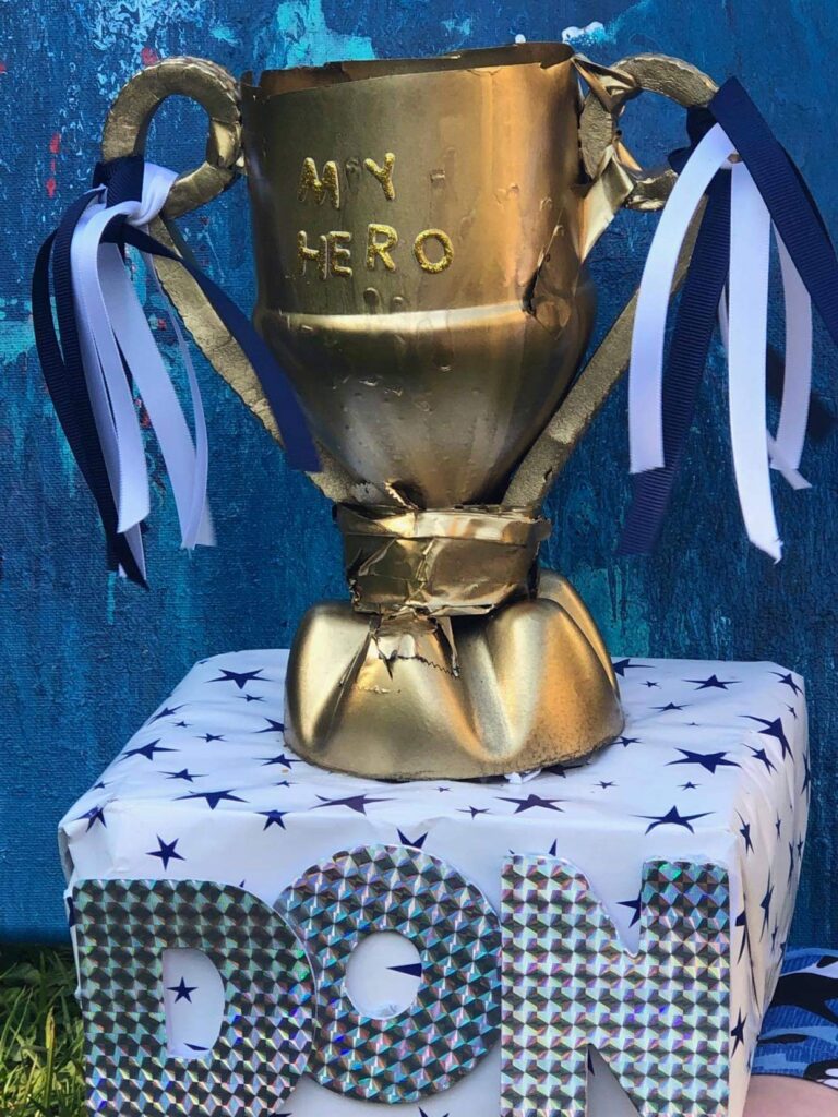
Kinda makes my end-of-day physical check-in seem a little whiny, doesn’t it?
At his age, Alexander understands that grown-ups sometimes need encouragement, too, and that is why he is my hero.
10/2/2020: Strawn to Mineral Wells TX
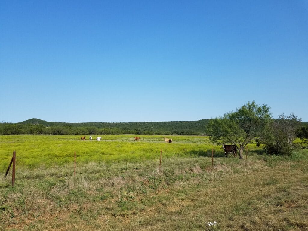
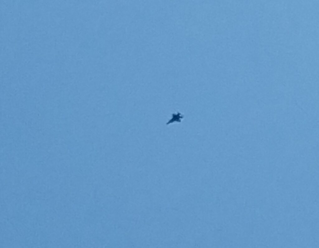
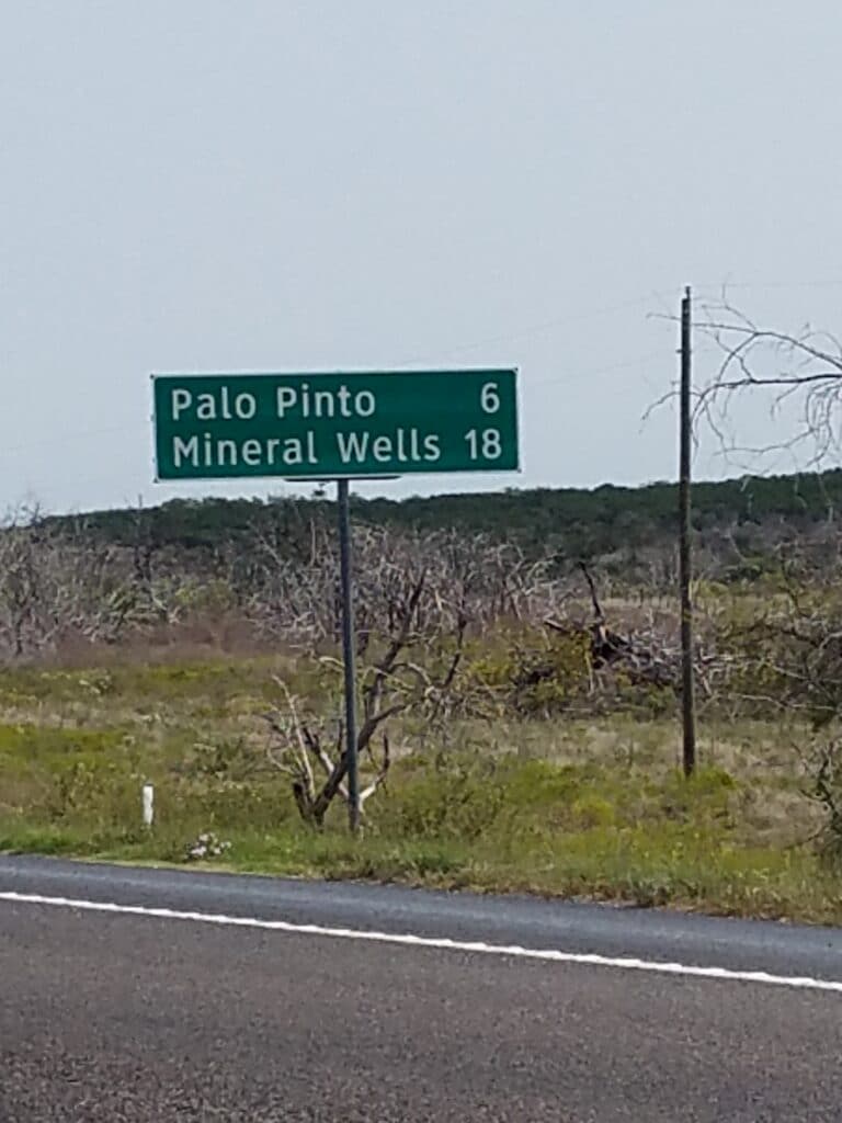
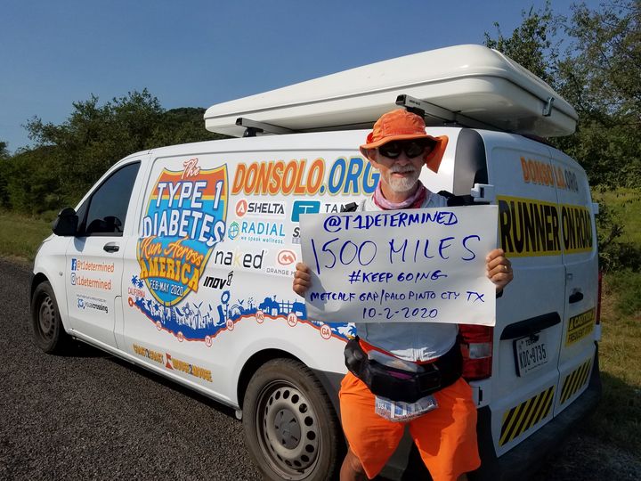
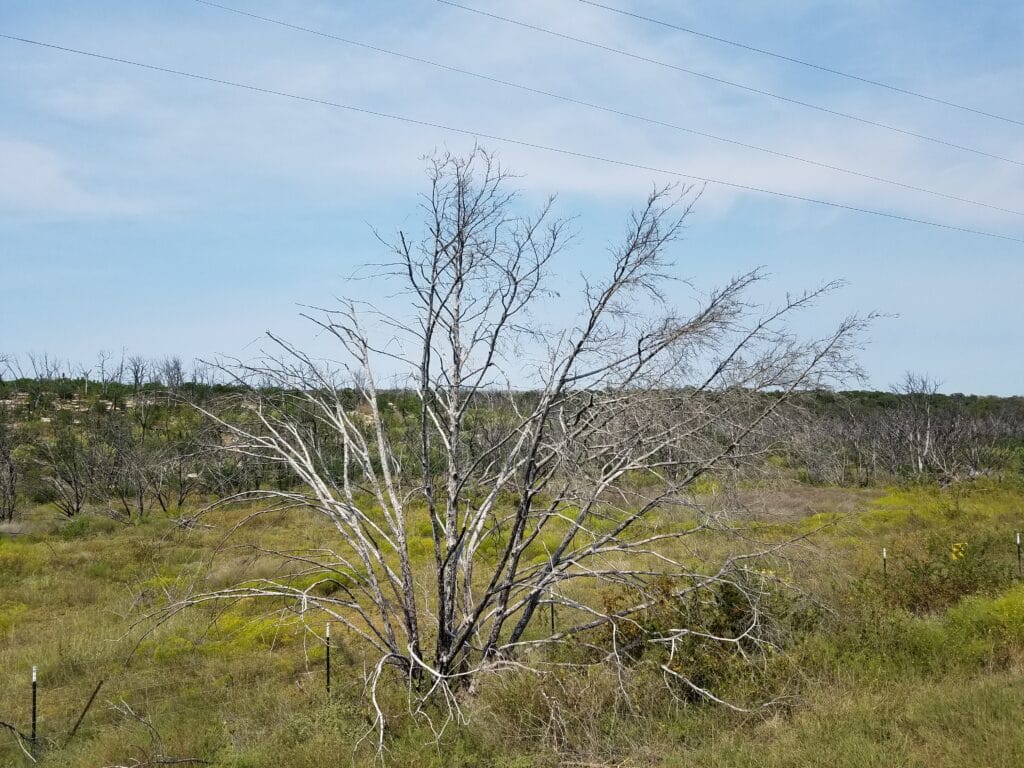
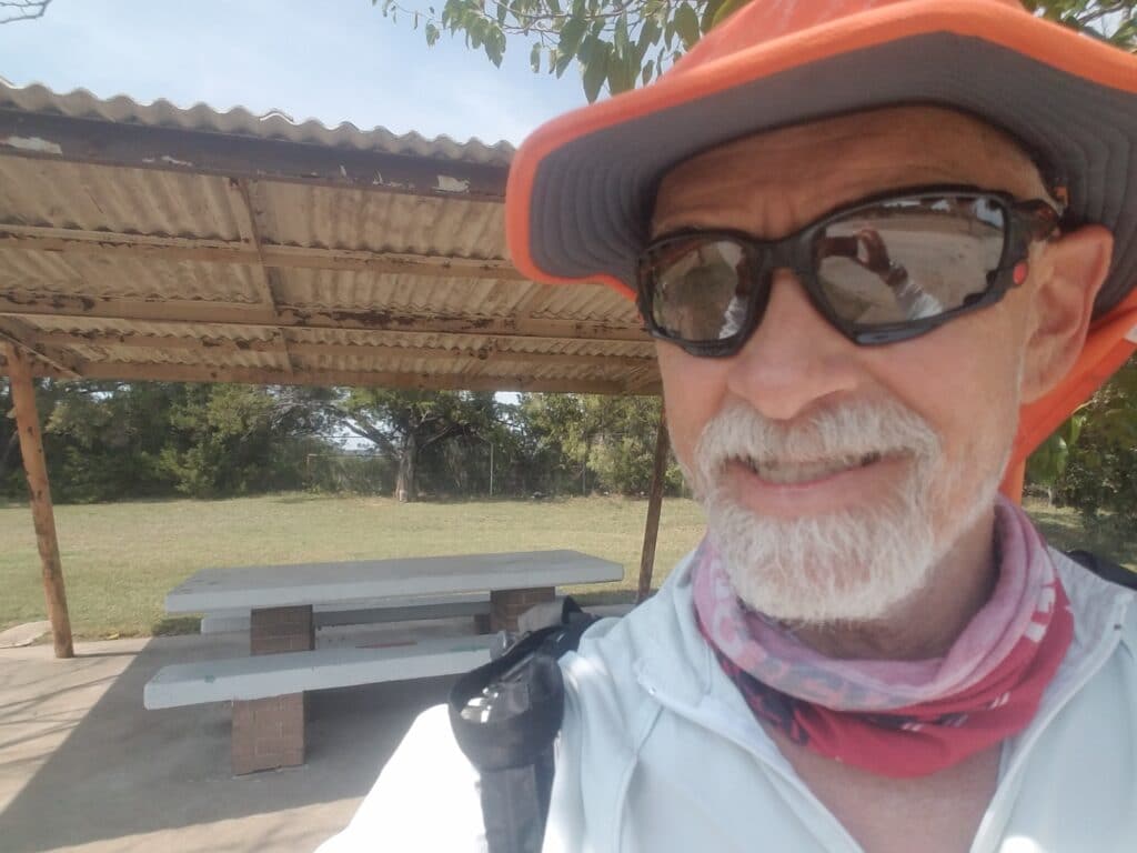
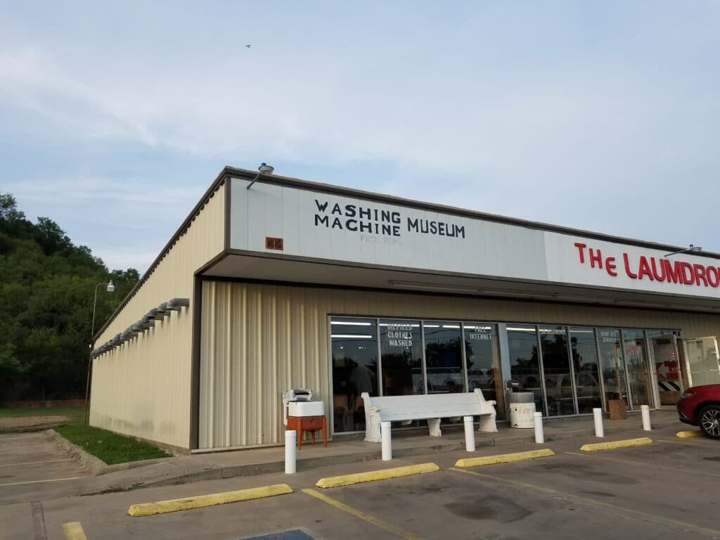
Not long after left Strawn headed north on CR-16 toward Metcalf Gap, I kept hearing this load roaring noise similar to what I had heard in Box Canyon outside Mecca, CA. But I never could see anything. I knew that we were far from any airstrips, so I thought the sound might be some kind of industrial equipment over a low hillside, just beyond my view.
Not implausible, since somewhere between Strawn and Mineral Wells are the far North ends of the Texas Hill Country that runs all the way down to Austin, TX and beyond. But it didn’t seem likely somehow. And no matter how far I ran, it sounded like the noise never got any quieter. I looked up into the sky and couldn’t see any obvious passenger jets, and to be honest, the area isn’t really on anyone’s route.
Then I finally caught sight of a couple of fighter jets. I had to zoom in the absolute maximum amount–which of course makes the picture jiggle–but I was able to catch an image of the noisemaker.
At least that occupied my attention from 8:30 AM-ish to just after 10:00 AM.
I reached Metcalf Gap, where CR-16 T’s into US-180, a wide and nicely-paved US highway mostly gifted with a wide shoulder around 1:00 PM, and celebrated reaching the 1500-mile mark. From there, Palo Pinto is about 6 miles east, and Mineral Wells another 12. Along the way, I could see remnants the 2011 Texas wildfires that destroyed over 1000 acres of trees.
I also found a roadside picnic area in a shaded turn just west of Palo Pinto. It was a brief but welcome rest; and around 4:45 PM, at the far western edge of Mineral Wells, I again encountered remnants of the old Bankhead Highway.
I reached Mineral Wells city limits at 5:30 PM and continued into town past the Washing Machine Museum (around 6:15 PM) to a bank parking lot, reachable from both sides of the now-divided US-180 highway, where Leslie had parked the van. I finished the day some time around 6:40 PM and climbed into the van for the ride to our new “home base” in a restored 1960s-era bungalow in Ft. Worth.
10/3/2020: Mineral Wells to Azle / Lakeside TX
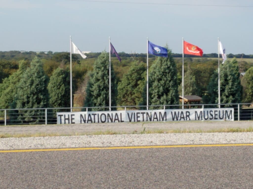
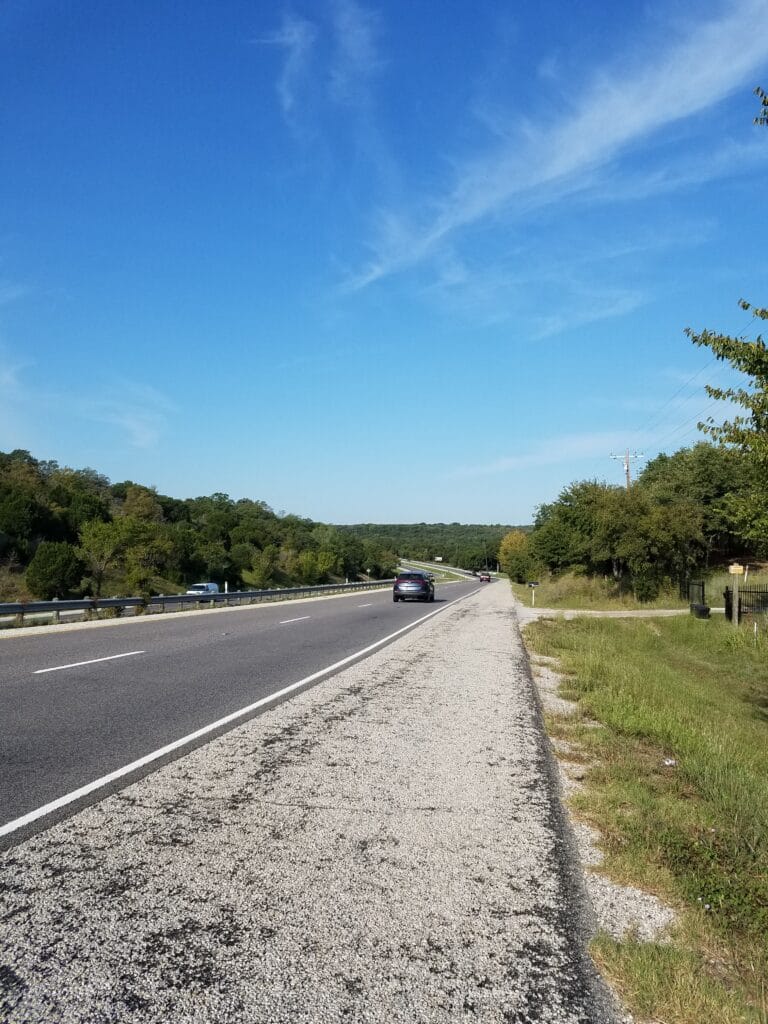
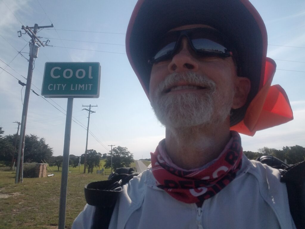
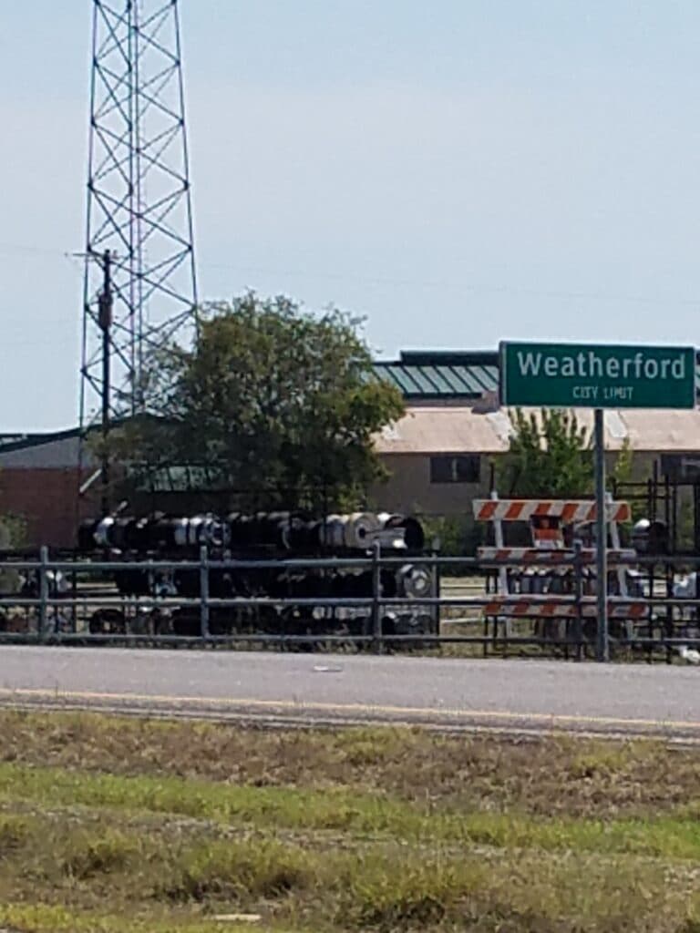
I headed out of Mineral Wells along the shoulder of US-180, reaching the spot where the trail follows the path of an old railroad and crosses the highway by the Vietnam War Museum around 9:30 AM. It was straight highway with decent shoulder until I reached Cool at around 10:15 AM. About three miles past that Leslie had stopped to prepare a hot lunch of soup, and when I arrived, we shared the area with a group of motorcyclists who revved up and left not long after I had finished my soup.
Beyond Cool, there were a few spots where the shoulder narrowed or sloped, or the space between road and guardrail didn’t amount to much, but not many.
It felt like forever before I reached the outskirts of Weatherford around 1:45 PM.
It felt like even longer before I actually reached my turn into CR-730 at the Malt Shop. I have fond memories of meeting T1D friends (hi, Stratton!) and enjoying a hamburger and a malted, a rate treat for someone who has to watch his blood sugar. This year, it was merely a spot on the map, a place to mark a turn, and a chance to get some water at the van before heading north on the hilly section of road that eventually led to Azle, Lakeside, and the northwest edge of the DFW Metroplex.
Just outside Dicey, around 5:00 PM, I spotted a balloon done in the style of the old 1970s “Have a Nice Day” buttons.
I had to smile. But I also had to keep running. The previous year, my stop at the Malt Shop had cost me just enough time to hit Azle’s narrow roads and nearly nonexistent shoulders at sunset. I did not intend to make that mistake again.
I reached the A to Z grocery, a convenience store in Azle, a little before sunset, and for once, had the sense to stop there and call it a day.
10/4/2020: Azle / Lakeside to Ft Worth TX (Western Center Rd & Beach)
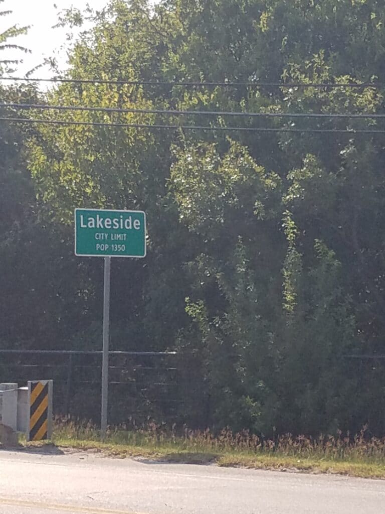
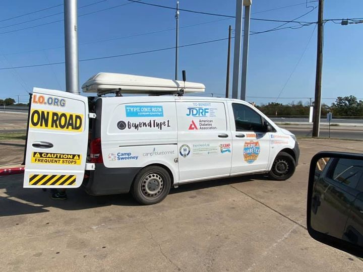
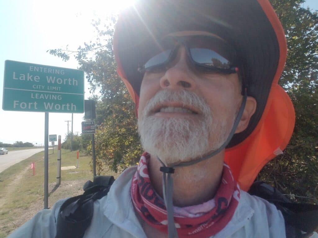
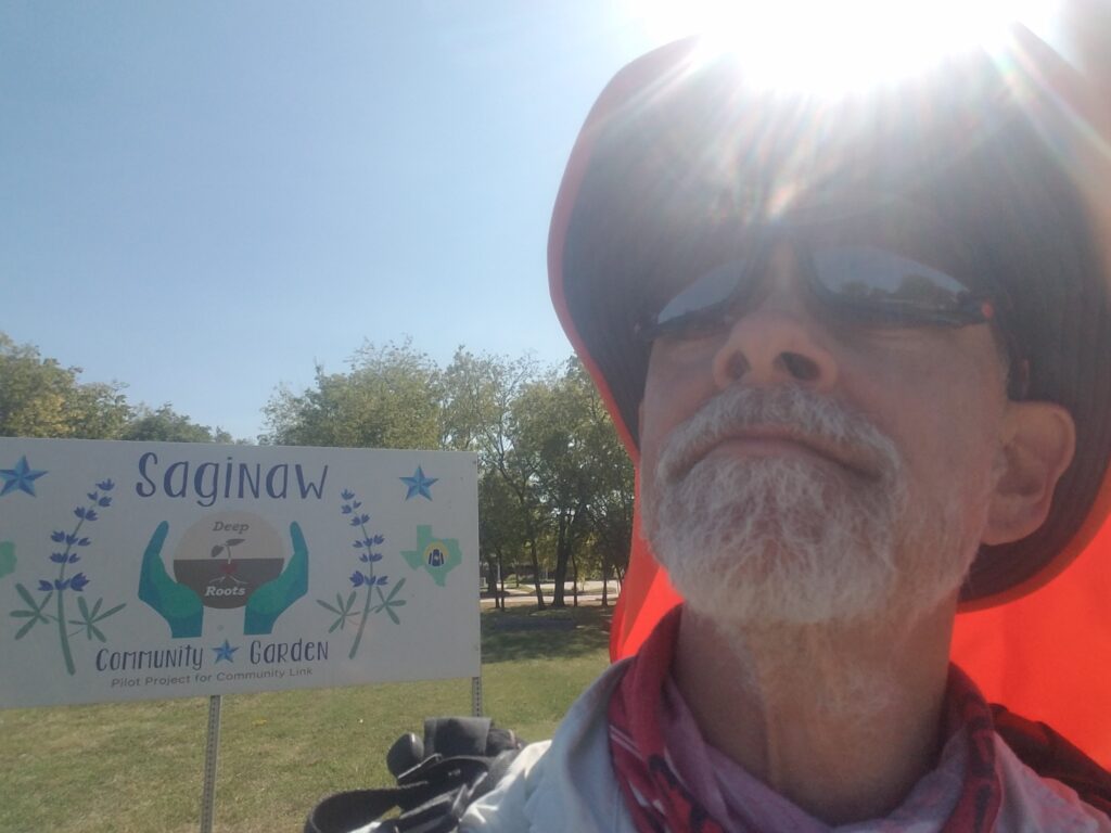
We started the day at the A to Z grocery in Azle a little after 7:00 AM. CR-1886 / Confederate Parkway was narrow, and busy at times. For the next ten miles or so, I dealt with the appearance and disappearance of little bits of civilization. A neighborhood would pop up out of nowhere and I’d have a decent flat shoulder or at least mown grass. Then it would be back to narrow shoulder and sloped culverts again. The cars kept coming, no doubt fueled by the little town’s proximity to DFW.
Once I reached the Shell station at TX-199 / Jacksboro Highway, I let out a sigh of relief. All I had to do was get across the bridge into Lakeside and the going would improve significantly. I crossed the highway and ran along the paved sidewalk at the bridge’s southern side, and by 10:15 AM, I was in Lakeside with better part of the day still ahead of me.
As I ran along the highway shoulder, I spotted a couple of large black birds I thought might be turkey buzzards.
By 11:30 AM I was in Lake Worth. Leslie had gotten carry-out at a Burger King nearby and I wolfed down lunch. Fellow type 1 Steve Shertzer spotted our van during our lunch break and posted about it on Facebook. With COVID precautions forcing us to avoid meetups as much as we could, it felt nice to be connected to someone who cared about the same things we did.
I was anxious to get past the narrow, somewhat busy section of Ten Mile Bridge road that came after my turn off the highway and onto Hodgkins. It was getting warmer and I wasn’t enjoying it, and I was also a bit concerned about an upcoming section of the route along Cromwell Marine Road and McLeroy that I had modified from the previous year’s Texas run, as it had looked quiet on paper and during scouting trips.
The road turned out to be not only busy, but absent of any kind of shoulder except tall grass, and on McLeroy, loamy soil. I had to step off into tall weeds constantly and wait for what seemed like a constant stream of cars. On McLeroy, my shoes sank into soil, but at least it wasn’t muddy. That said, I was glad to be off of it.
I reached Saginaw around 3:00 PM, the roads improved, and I met up with Leslie in Blue Mound where McLeroy T’d into Western Center Boulevard for a quick cool-down and refreshment break.
There was a cop hiding his car in the shadow of a nearby church to catch speeders on McLeroy, but it made me nervous to sit for long, so I got moving again.
Looking back, that was probably a mistake. I had been skimping on my cooldown and rest breaks, not getting enough time off my feet. The big blister on my right foot that had introduced itself as a “hot spot” way back in west Texas was now acting up again, and I could feel it pulling as I limped the last few miles.
I had intended to run farther, perhaps to the beginning of the Cotton Belt Trail just east of Watauga, but I didn’t have it in me. I stopped at the Walgreens at the intersection of Western Center and Beach Street, 24 miles for the day, and we took our rest day, as once before, one day early.
10/5-10/6/2020: (Un)rest(ful) Days at Home
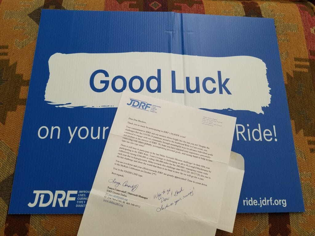
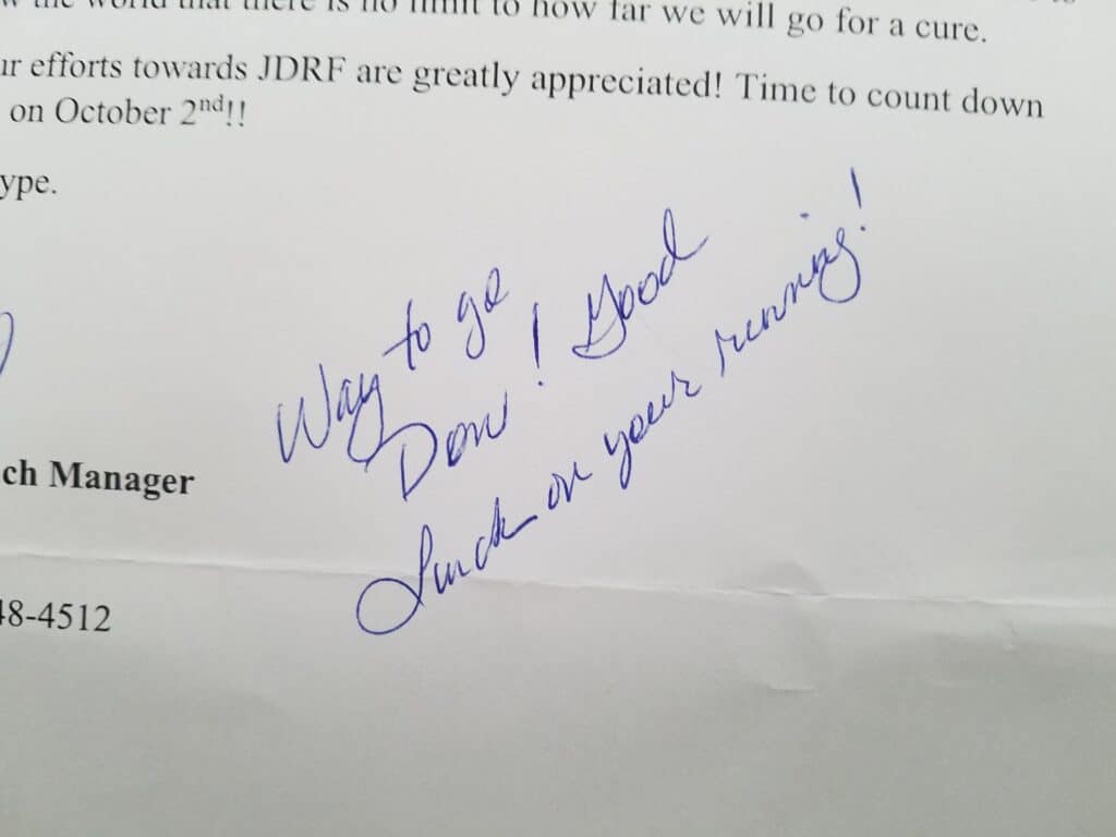
We drove home from Western Center and Beach. It was nice to have a chance to sleep in our own bed.
When we arrived, there were a couple of surprises. First, the good news: my friend Tanya Conovaloff at Greater Dallas JDRF had sent me a JDRF MyRide yard sign and a very nice personalized note wishing me luck on the Run Across America.
Now the bad news: we discovered that a motion sensor alarm that had gone off several days earlier had actually been caused by an implosion of the interior panel of our glass patio door, which had sagged into the blinds and caused movement. The outer glass door was fine.
We still don’t know what caused the issue, but we were grateful that it occurred in a double-pane area, so there was no environmental exposure.
I unwrapped my feet, removing the tape and blister pads, and got a good twelve hours of sleep. Leslie ordered some thick orthopedic felt for making new blister dressings, which we hoped would arrive in time for us to drive back from the route and pick up before we got too far from Dallas.
I took two rest days to try to heal my blisters a bit, and ate like a horse.
Meanwhile, we planned to resume running after our next two rest days, this time from Ft. Worth into Dallas.
10/7/2020: Ft Worth to Dallas TX
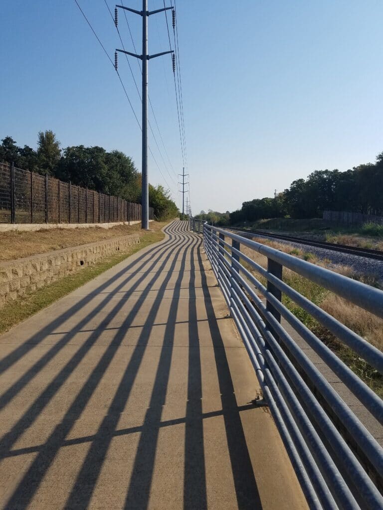
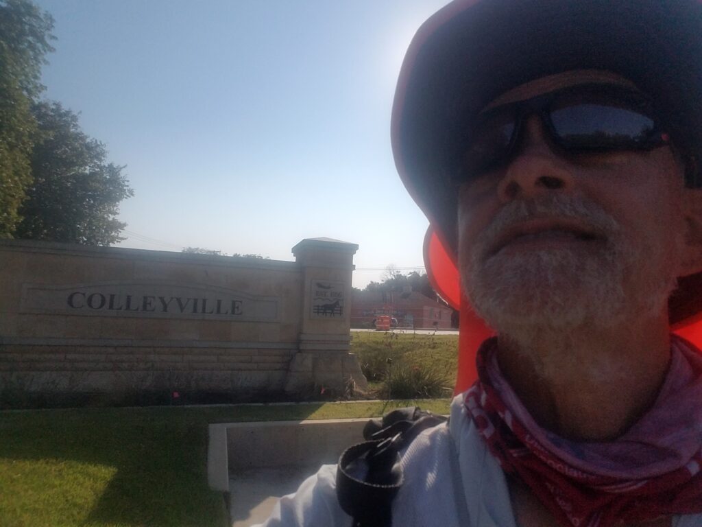
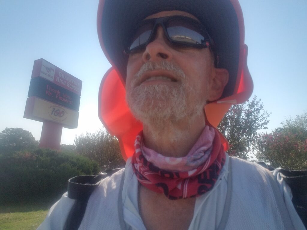
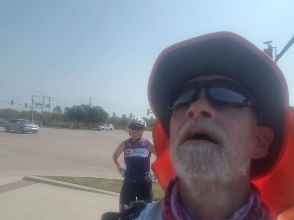
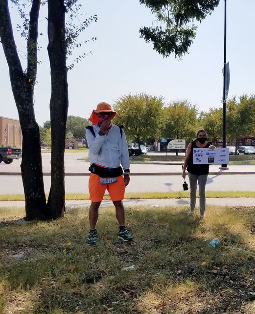
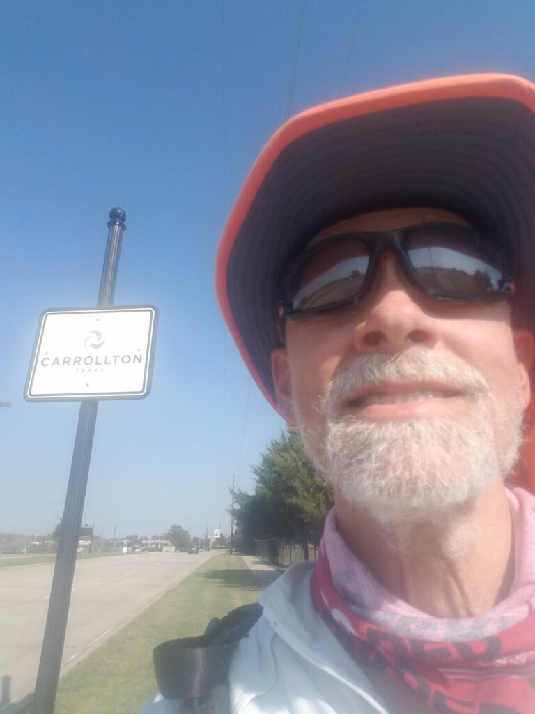
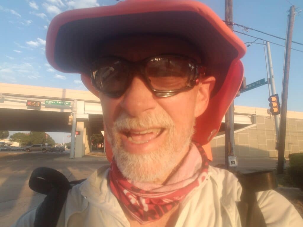
I resumed running at 7:45 AM on October 7th, a Wednesday.
Traffic wasn’t bad along Western Center, and in the post-dawn hours, the running was cool and quiet. I even had good Porta-potty juju: not far from my start was a construction site (as a COVID precaution, I don’t like to use restrooms at high-traffic gas stations, and to me, Porta-potties seem less risky and better ventilated).
At 9:30 AM, I reached the Cotton Belt Trail in Colleyville about miles away and enjoyed some time away from the road. Eventually the trail rejoined CR-26, well after I had passed the busiest section of the road.
By 10:30 AM I was in Grapevine. Leslie and I made a quick refreshment stop past where CR-26 turned into Dallas Road and entered an industrial district. I made the turn onto Texan Trail (actually a road), passed under a railroad bridge, and turned right at the Great Wolf Lodge to head toward to head onto the paved bike trail that would lead me toward Grapevine Mills Mall.
It was there around 12:30 PM that I encountered Linda Petry Kruse, who had been following the run. Her niece and her best friend’s sister both live with Type 1. She was following the live tracker and had cycled out to where I was to give me some extra company through Grapevine. She rode a little behind me, or sometimes on the opposite side of the road, until I caught up with the van in Coppell. It was good to have someone to talk to as the morning got warmer and sunnier.
When I reached Coppell, I was greeted by two friends: Tanya Conovaloff of the Greater Dallas JDRF office, and by my friend Patricia Daiker, a fellow Type 1 and RN who runs a diabetes burnout program called Better Diabetes Life. She was holding a sign up when I arrived at the van. I also met Erika Slater, who had been following the run online and tweeted about it.
I took a short break for lunch and continued running. A little further down the road, I encountered a couple of girls from a local high school’s media program, who recorded a video interview. It was a welcome break, and they were just as professional as a “real” news crew. Just like the news team in Abilene, they had even made appropriate arrangements to keep social distance during the interview.
As I reached my turn onto Kelly Boulevard in Carrollton around 3:45 PM, it was starting to get warmer. I was glad I had chosen to wear my desert running shirt, despite the fact that at day start it had been a bit chilly. I ran past the Shell station at Trinity Mills Road, where I had stopped the previous year for a water refill and a quick snack. I longed for their air conditioning, but I kept going, reached my turn into Frankford Road, and the last part of the day’s run into Dallas.
I reached the Dallas North Tollway and my day stop at the grocery store on the northeast corner around 6:30 PM.
I was officially off the clock. My rest day had begun. In fact, Leslie and I decided, we’d take two rest days and try to give my feet another break. I went inside with enough gear to change into civilian clothes, unwrapped my feet, and began my usual routine of gathering up dirty clothes, getting a shower, and unwinding–this time without the rush to get gear ready for the next day.
As Leslie was driving around the block to reposition the van in front of the house, the engine died. She was able to restart the engine, but now the Check Engine light was on, and stayed on.
We used our second rest day to take the van into the service department at our local Mercedes dealership. They diagnosed the problem as a bad fuel pump. That didn’t come as much of a surprise, as we had experienced a similar problem during my run across Iowa. This time, they said, they were pretty certain the problem was the fuel pump and not anything that had been through it. They offered to replace the fuel pump, and said it would be ready the next day.
Accordingly, we planned an extra rest day. My feet needed the extra time anyway.
10/8/2020-10/10/2020: Waiting for vehicle repairs
Just about when the repairs were do to be finished, the Mercedes dealership called back to inform us that the fuel pump had actually overheated, swollen, and fused itself to the gas tank–which of course was a special-order $2500 part that would take a few days to arrive and replace.
Don’t get me wrong: I love that van, but I have never been so glad I purchased an extended warranty for a vehicle.
For the next three days, I mostly just rested, ate, and waited on repairs. What had originally been intended as a single rest day was starting to look more like a week.
And after two days, I was getting anxious to be making some progress–any progress–on the run.
10/11/2020: Dallas to Wylie TX, crewing from the Subaru
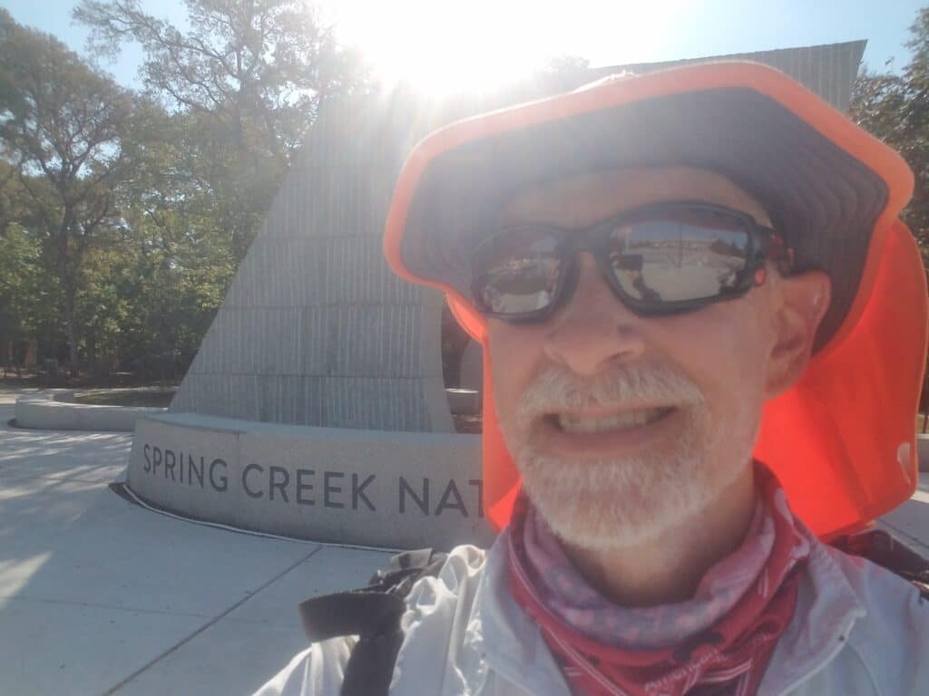
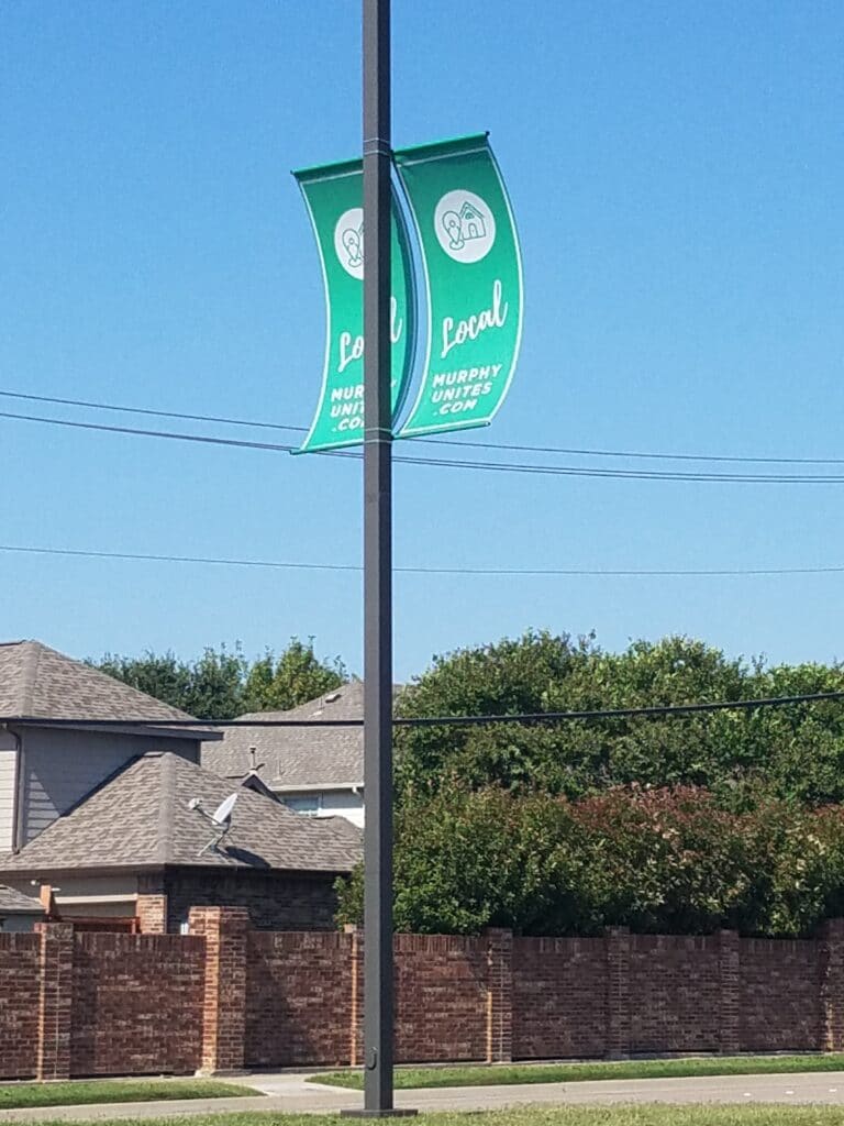
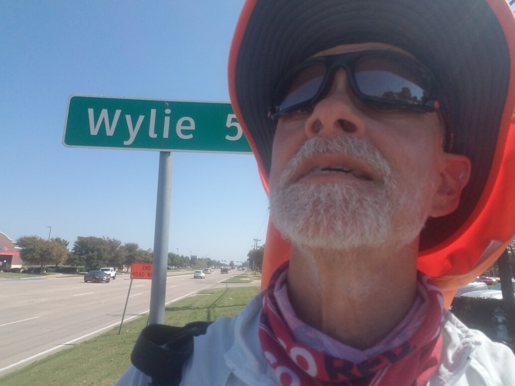
My feet were feeling good and I had time to kill, so I suited up and Leslie put some supplies that weren’t actually in the van into the Subaru.
I decided that I’d get in whatever miles I could, but was hopeful that I’d make it from Dallas to Wylie, about 20 miles. We didn’t want to push the Subaru that far, as it had been sitting on a trickle charger to keep the battery good, and I wasn’t 100% sure I had connected the trickle charger correctly enough to actually keep a good charge on the battery. The last thing I wanted was to be 35 miles from home with neither vehicle in running condition.
My route from Frankford and the Dallas North Tollway took me farther east on Frankford until it reached Waterford near the University of Texas Dallas’s Richardson campus, at which point it joined up with a training route I was already familiar with running along the bike paths on Renner. Along that bike path is a bench placed there by a family whose son died in a motorcycle accident. That was years ago, but to this day, they always place flowers on the bench.
I allowed myself to relax in the familiar surroundings, and before long I was east of Central / US-75. I reached the Spring Creek Nature Preserve in Richardson around 11:00 AM, the turn onto Murphy Road into Murphy TX by 1:00 PM, and the abstract sculptures in Wylie’s park along Brown Street northeast of FM-544 and Country Club Road around 2:00 PM.
I stopped at the RaceTrac at Brown and TX-78 and called an end to the day around 2:30 PM. At the very least, no matter what happened with the van, we mad managed to move our marker forward and make up for short mileage on previous days.
10/12-10/13/2020: Still waiting on vehicle repairs
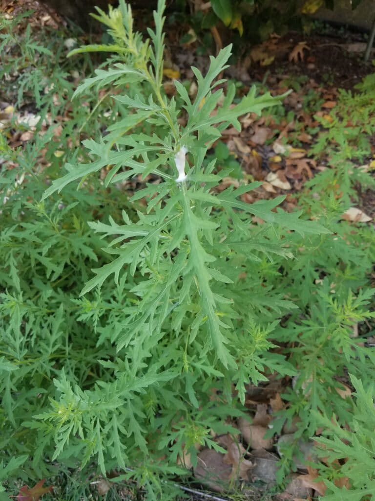
The next two days were spent pulling up ragweed from garden beds, going through accumulated mail, and picking up the van.
Then we discovered rather late in the second evening that not only was one of our Dometic refrigerators not working, but neither was the DC splitter we had plugged into our Arkpak. It turned out that the electrical contact on the end of the Dometic’s DC power cord had come unscrewed and stuck in the splitter, which we had thrown into the kitchen garbage and taken out to the alleyway.
Around 10 PM, long after I had hoped to be in bed and gathering sleep for the next days’ run into Greenville, I was digging through the kitchen garbage to find the missing piece of the Dometic DC power cord. After taking the splitter out of the garbage, recovering the part, and screwing it back on, both the splitter and the Dometic worked perfectly.
10/14/2020: Wylie to Greenville TX
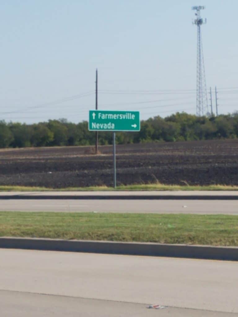
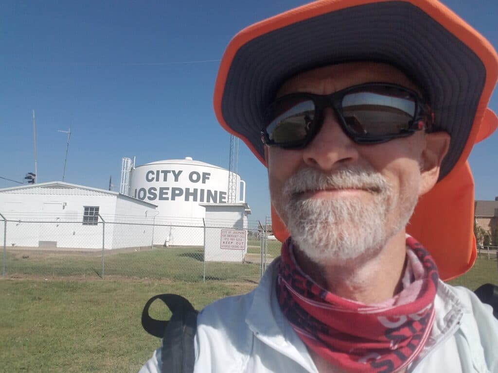
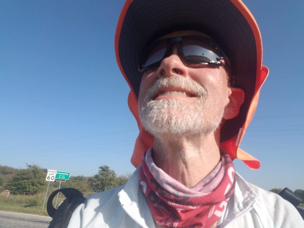
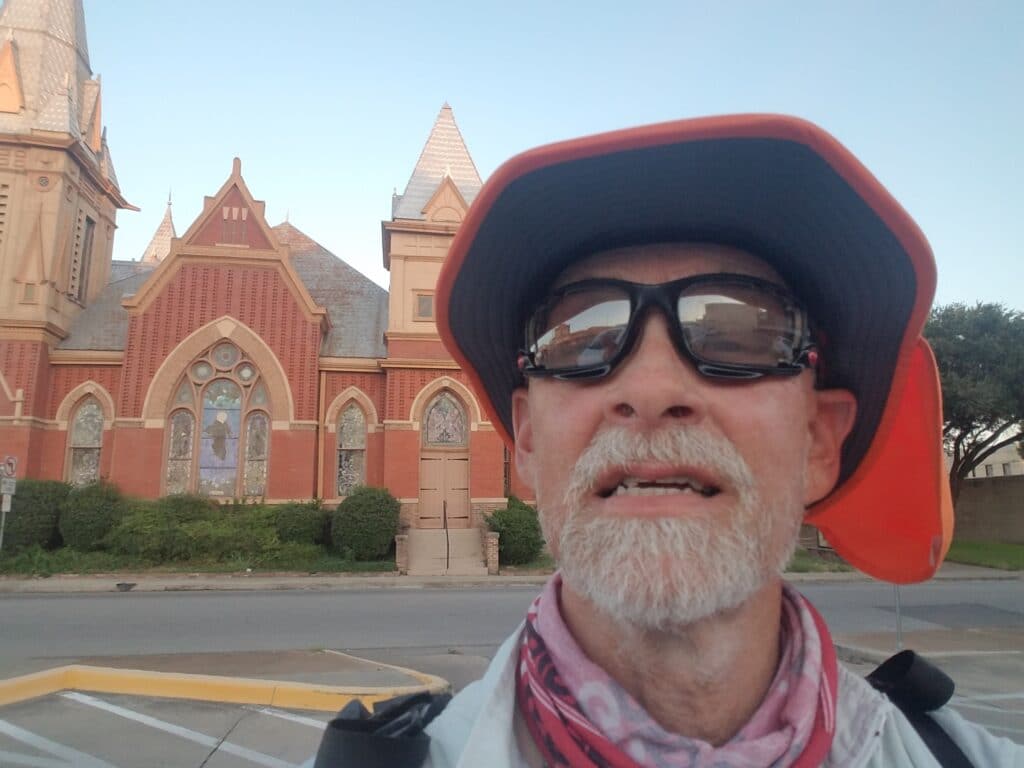
By the time I resumed running at the RaceTrac in Wylie, I was more than ready to get going. My route continued along Brown Street to Wylie East High School, then jogged right slightly to continue on Bennett, a quiet tree-lined road that allowed me to avoid a portion of the busy FM-544 that was one of my few ways east out of the Metroplex. 544 wasn’t particularly pedestrian-safe, but it was better than the alternatives and there was only a short section where I had to run on a grassy berm to get to the sidewalk in Lavon. And even that had been mowed.
Along the way there were a couple of gas stations and a Sonic whose parking lots offered some reprieve from running in the weeds.
At 10:45 AM I came upon Jeff’s BBQ, right at my turn for FM-543. They wouldn’t open for another fifteen minutes, but I texted Leslie that I would continue running and perhaps she should backtrack and pick up some barbecue for lunch.
I had just passed the Josephine water tower, which actually comes a bit before the actual town, when Leslie drove by and beeped the horn to let me know she had returned from Jeff’s. She pulled the van over at the next pull-off and we had lunch.
There’s something about barbecue that makes it taste better when it’s cooked on a smoker outside a small trailer than it does when cooked in a commercial smoker in a big building with air conditioning. It was some of the best BBQ I’ve had.
From there, I resumed running the rest of the way along FM-543 until it changed names to FM-596 at the Valero, continued past the Valero and onto a narrow road I had remembered running a year ago on my Texas run. Only this time, I wasn’t nursing a bulging disk and swollen ankle, it wasn’t mercilessly hot, I wasn’t half loping, half limping my way to the Shell at CR-6, and the road was freshly blacktopped and felt like carpet to run on.
We had changed the route a little after running Texas in order to avoid CR-66 out of Caddo Mills, which seemed incredibly busy with no shoulder and steep drop-offs. This time, I ran only a short section of 6 to Caddo Mills.
Along CR-6 I ran past Caddo Mills’s International Order of Oddfellows (IOOF) Cemetery. My dad was a member of the fraternal lodge’s north Mississippi chapter for many years and had worked his way up through the ranks into a position on the Bylaws Committee where he could do one of the things he did best: taking a disorganized administrative mess and make something beautiful and organized out of it that anyone would have been proud to be a part of.
I had looked forward to sending him the photograph above, to let him know I had reached the IOOF cemetery and was thinking of him. Instead, all I could do was think of him lying in one in Greenwood, MS, awaiting my eventual appearance to keep the promise I had made back in Carlsbad.
Once I reached Caddo Mills, I ran a few blocks of CR-66, turned onto CR-36 and crossed the railroad tracks to head toward the Interstate. CR-36 turned out to be irritatingly busy. It was one of the few roads I hadn’t scouted because it represented only a short section of the route. I found myself constantly having to step off the road, and eventually just gave up and ran in the packed dirt of the ditch on the north side of the road.
I was greeted by a collarless black dog who couldn’t decide if he wanted to be territorial or curious. His owners came out and retrieved him a short time later.
I turned onto CR-1903 and the road got less busy, but not by much. Once I reached the Interstate, I was truly glad to be off those roads.
Once on the I-30 frontage road, I headed toward Greenville, reaching the city limits around 4:45 PM. The frontage road turned one-way just past Monty Stratton Parkway. It was far from my preference to run with traffic at my back, and as a matter of general principle I don’t do it. But it was either this route or CR-66, which seemed riskier. I walked through tall weeds for about a mile as shadows lengthened, finally reached the turn onto Wesley, and headed into Greenville’s downtown.
I reached the Central Christian Church across from the Post Office at Wesley and Washington at 6:30 PM, about 20 minutes before sunset.
We drove back home along US-380 and prepared again to move our “home base” for running further east.
10/15/2020: Greenville to Sulphur Springs TX
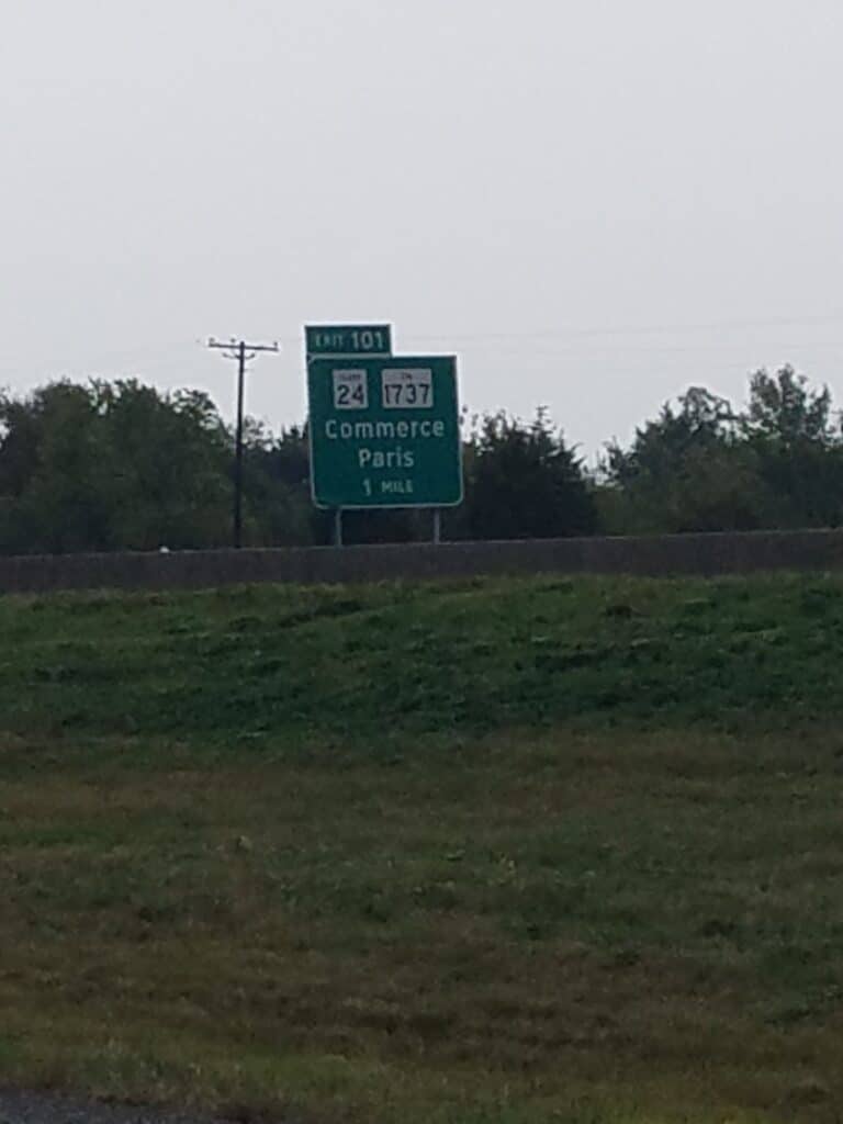
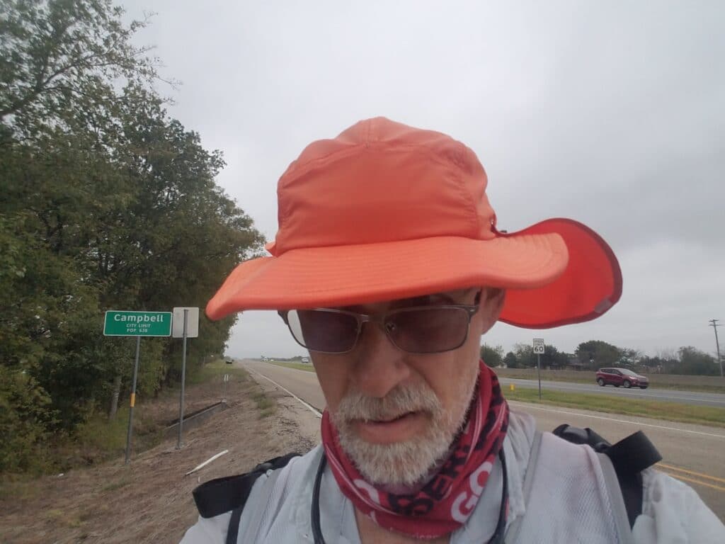
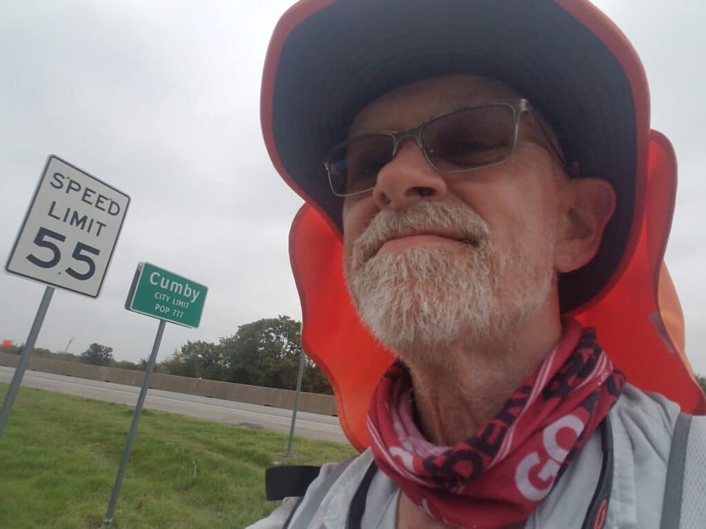
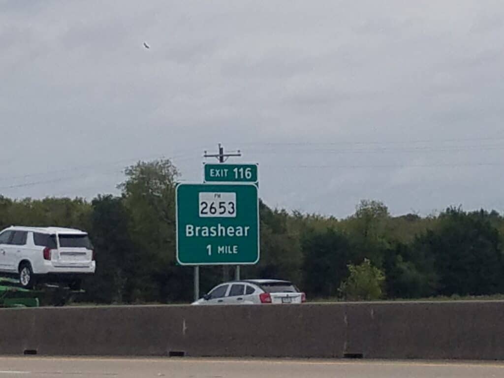
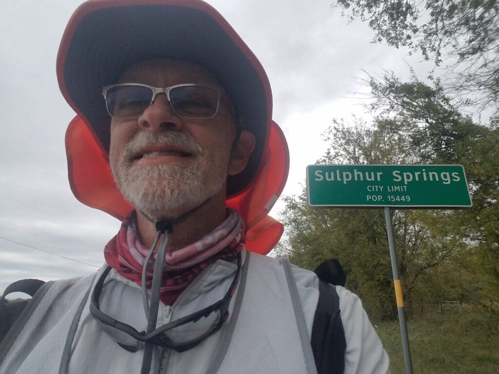
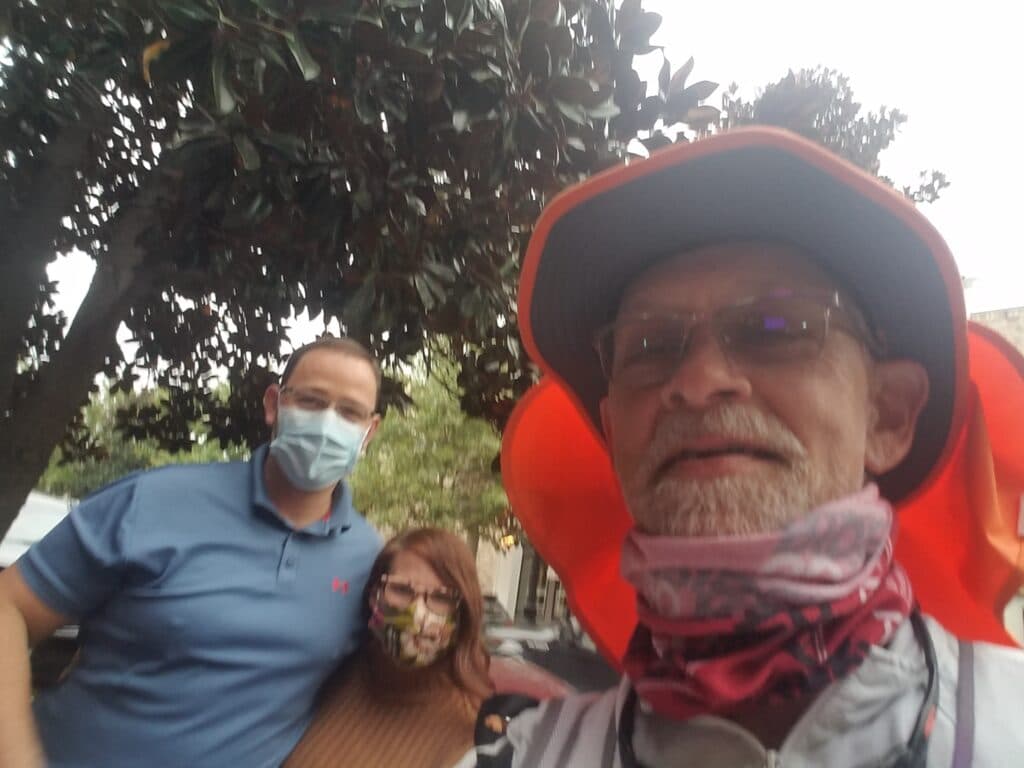
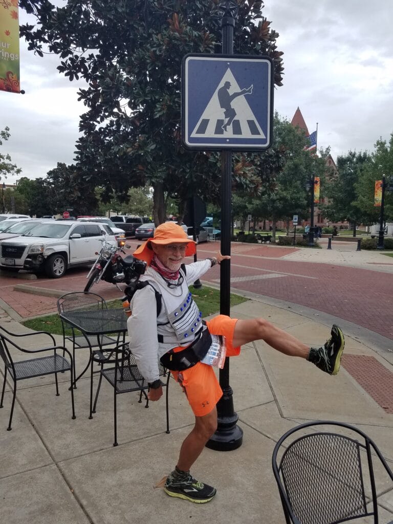
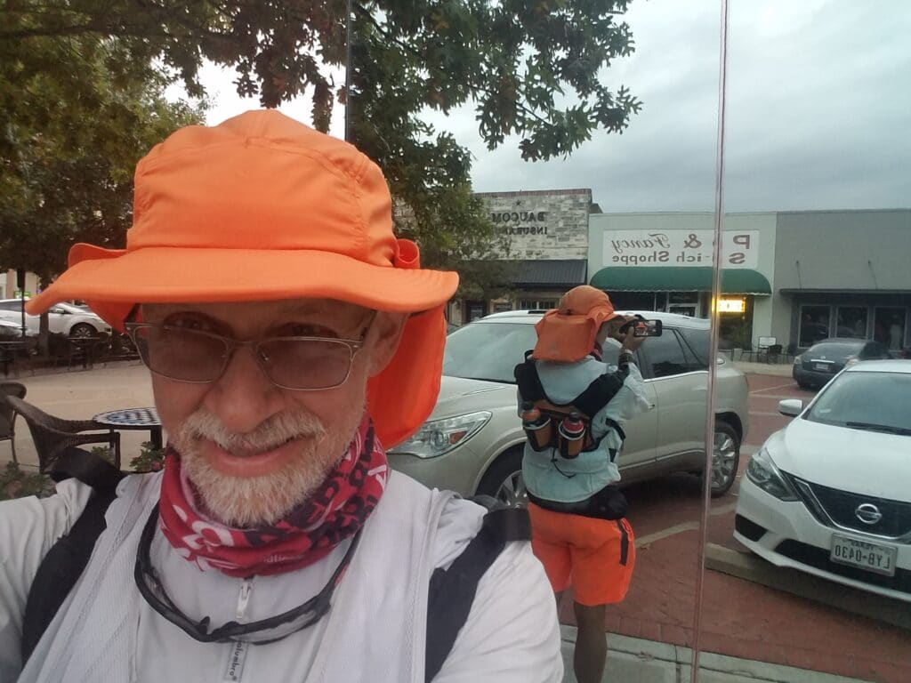
The run out of Greenville was also a bit of a route change. Previously, we had stayed in a hotel a bit further south and had avoided running through the downtown area, simply skirting most of the town along the south and east sides. This time, I ran from downtown east along Lee street and rejoined my old, familiar route along the I-30 north frontage east of town in Ardis Heights. The morning was clear and sunny, but that was the last I saw of the sun all day.
As almost always seems to be the case, I ran into light mist east of Greenville that threatened to become actual rain if it felt like it. I spotted a sign for a long-gone motel and for a moment marveled at the number of such signs and similar indications of change I had seen since leaving Newport Beach.
I reached Campbell at around 11:45 AM and since we weren’t far from the Campbell Travel Center (gas station), Leslie pulled off a short distance away and I grabbed a snack. I found myself anxious to get moving again because I was still wearing my desert running shirt, now soaked in a mix of rain and sweat, and every time I stopped running I felt cold.
I continued running, warmed by the effort, and reached the rest station at Cumby around 12:45 PM. Both Leslie and I took a short break there to get a real lunch and talk about the rest of the day’s running.
Around 3:00 PM I reached Brashear, where I noticed traffic was backing up on the adjoining highway. It made me glad I was on the frontage and that there were few exits in the area. I half expected to see traffic exiting on the grass and making it to the frontage, but that didn’t happen.
Although it was wet, chilly, and a bit miserable, I continued until the exit for US-67 and Sulphur Springs and reached the outskirts of town by 5:00 PM. I don’t remember it from last year, but this time I noticed that US-67 had wide ditches of packed earth that were pleasant to run upon and stopped only where a creek or culvert crossed the road. It made for fairly fast running, although it was a bit more like trail than road.
Around 6:00 PM ran into my old Type 1 friend and Sulphur Springs Resident Gary Simmons and his wife Amanda, just before visiting the town’s Ministry of Silly Walks sign (I was too tired to attempt a silly walk without holding onto the sign) and glass restrooms.
I continued the remaining 2.5 miles. I was losing sunlight as I got to my turn at Russell, but thanks to the overcast skies that stayed with me for nearly the whole day, I was already wearing my LED Light Vest. I turned it on, made the turn and ran the last little bit of CR-313 / Business 67 toward my final meetup for the day with Leslie at the Days Inn parking lot on the I-30 frontage. As I walked up to the van, it was 6:45 PM and the sun was setting.
10/16/2020: Sulphur Springs to Mt Pleasant TX
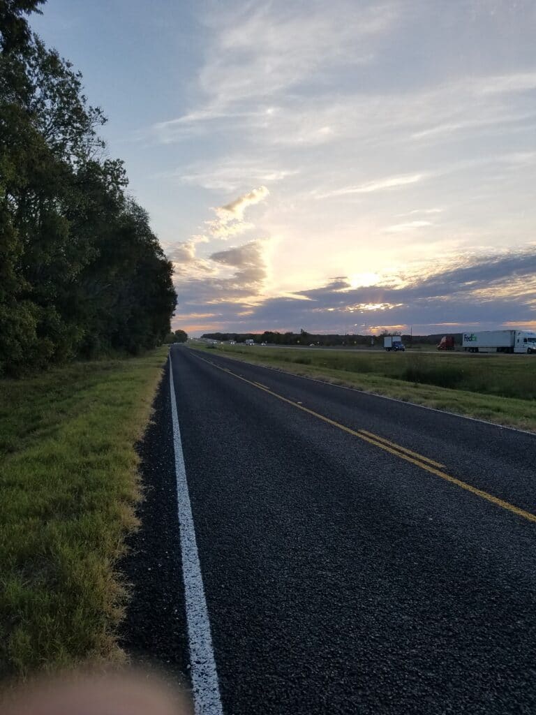
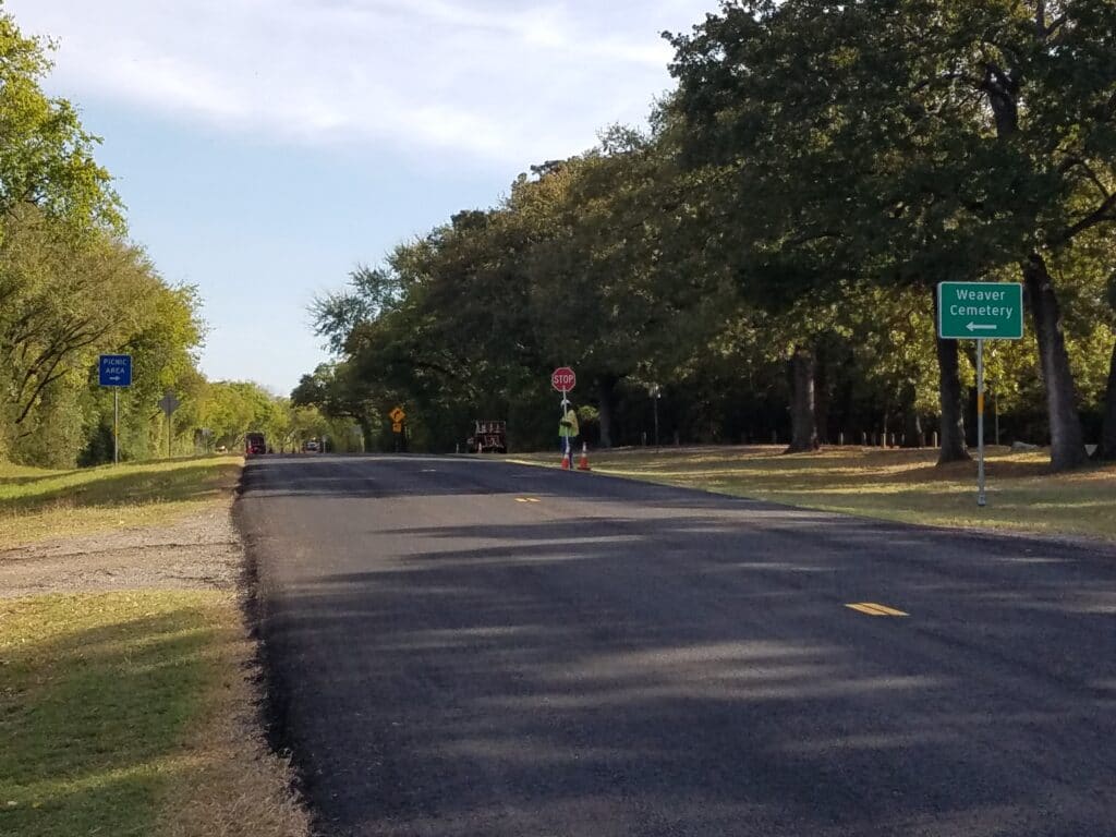
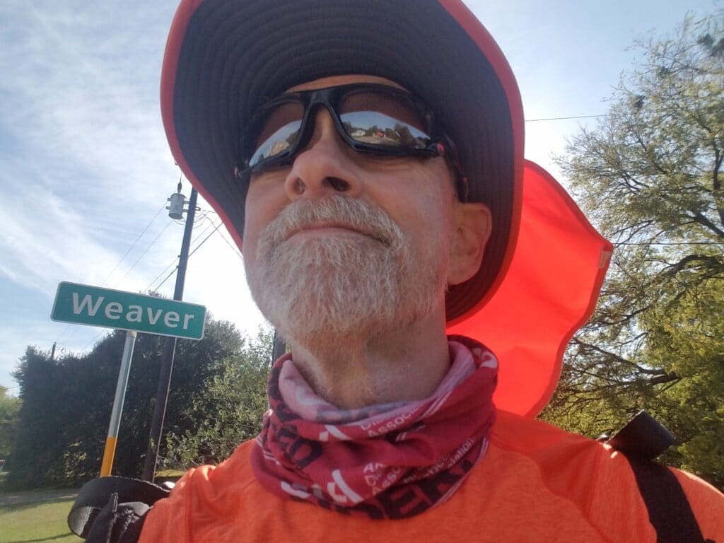
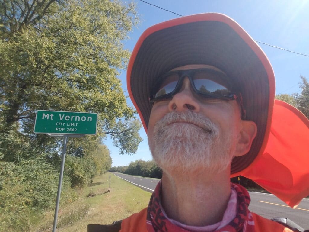
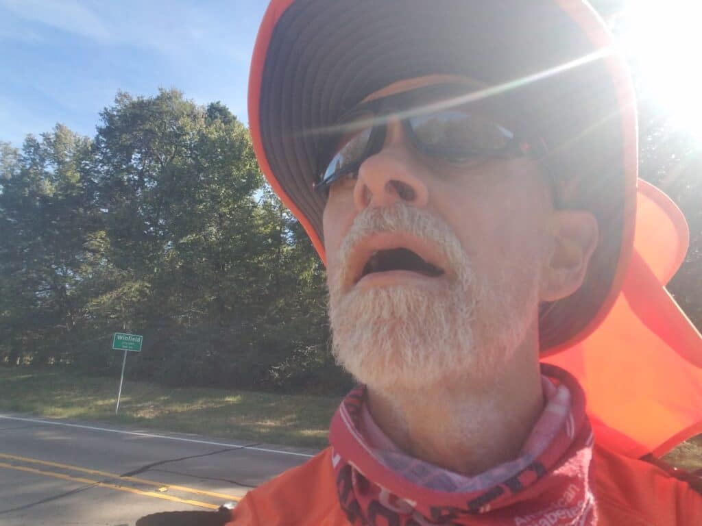
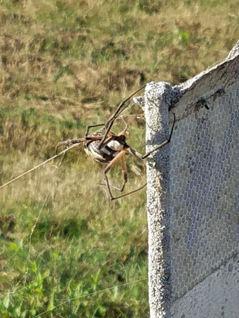
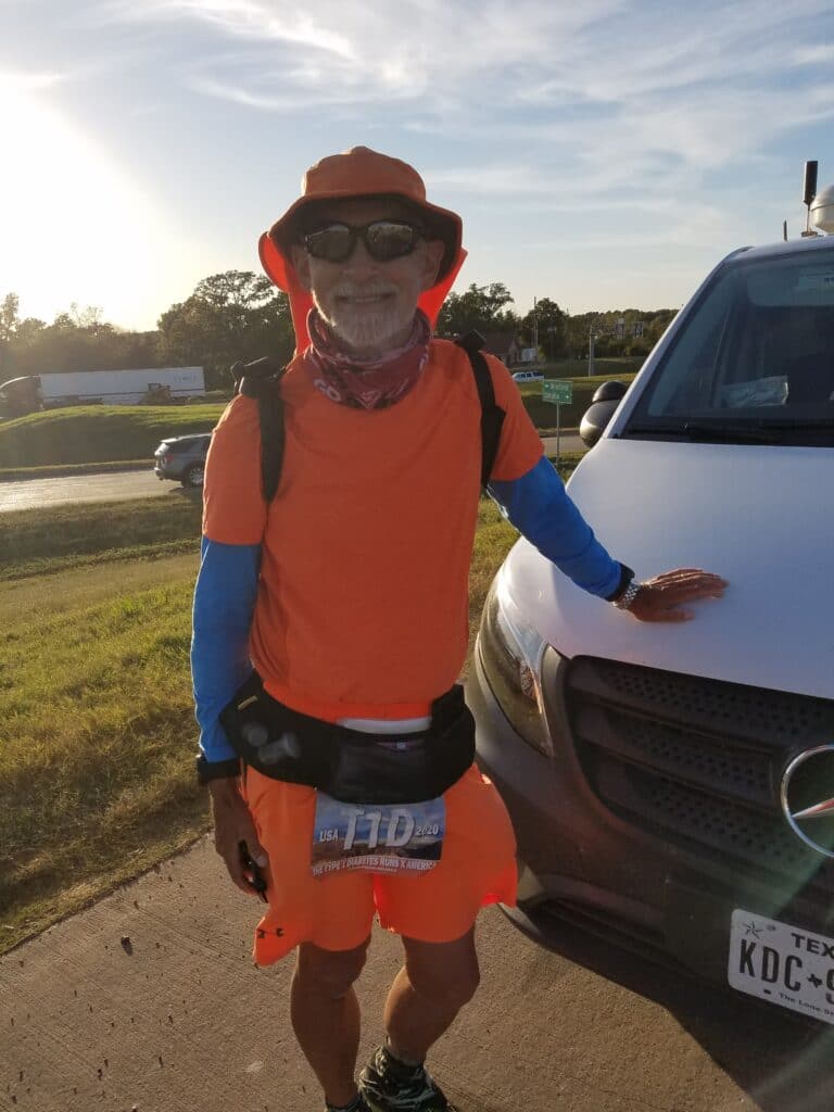
I started running the next morning at 6:45 AM, trying to catch the earliest sunlight of the slowly shortening days.
The road was quiet, with decent shoulder for most of the way, at least early on, and the weather was cool but dry. Just past White Oak Junction, the frontage road unceremoniously diverged and became US-67.
I arrived in Weaver right around 10:00 AM and encountered a road crew that had one-laned the road and was directing traffic with a stop sign and a pilot vehicle. Just before that, there were two signs, one of which read Weaver Cemetery. The other said Picnic Area. Sometimes when you’re out there running all day and getting buzzed by traffic, you find moments like this way more amusing than they should be. All I could think of was: ZOMBIES!
I ran past the road crew, using the ditch as they had directed, and once clear of them, continued to the Saltillo Post Office, where I arrived around 11:30 AM. I reached Mt. Vernon around 1:15 that afternoon, where I made the left turn onto CR-37. I don’t remember whether we had lunch in Saltillo or Mt. Vernon, but I do remember that as I ran past Mt. Vernon’s police station, there was a Porta-potty on the hillside just before the road went under a railroad bridge. That is because my restroom-locating juju is strong.
I would come to see that stretch of road again and again, as our new accommodations east of DFW for several days would be Selah Ranch, a Christian get-away whose main attractions included disc golf, community activities, and two secluded cabins that were for rent through Air B&B. The facility wasn’t very busy, so we rented a cabin and it was very nice.
Outside Mt. Vernon and west of CR-2040 I met Bodie. Bodie is a very friendly black lab with a white “southpaw” on his left foreleg. I believe he was someone’s pet, but he was happy with run with me for a while. I gave him some water, told him he was a good boy!, and continued running.
You can’t take them all home.
I reached Winfield around 3:30 PM and just over an hour later encountered a rather large spider who had decided to make his home on a guardrail I decided to take a pass on.
I reached the outskirts of Mt. Pleasant just before 6:00 PM and stopped at the Shell station on the western edge of town near the hotel district.
All in all, it was a good day.
10/17/2020: Mt Pleasant to Dalby Springs TX
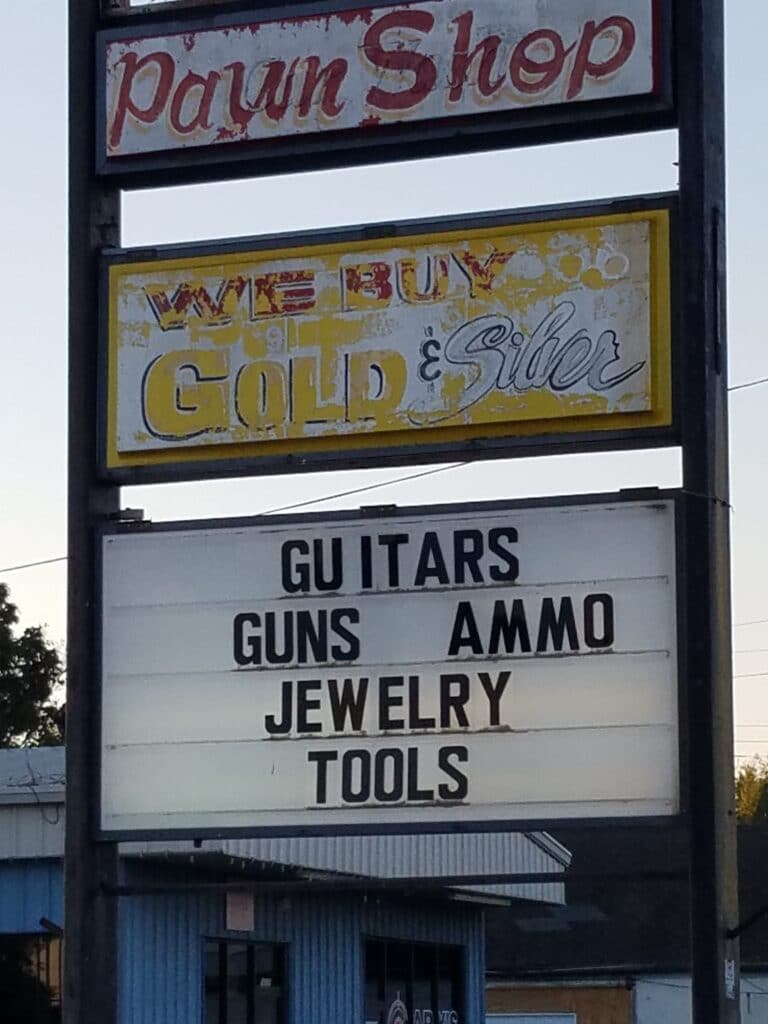
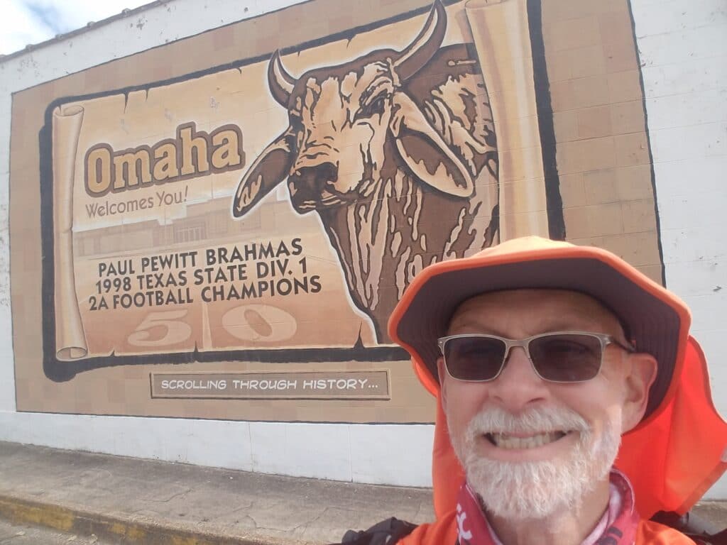
I left the Shell station around dawn, ran the remainder of US-67 into downtown until the shoulder ran out at the Valero at Edwards Avenue. From there, I turned north, then east along a residential street that emerged onto Jefferson near a Sonic, retracing my previous route from the Texas run. As I crossed US-67 / 16th Street, I came across a sign that said “Guitars Guns Ammo Jewelry Tools.” For the next 20 minutes, I had Lynyrd Skynyrd tunes running through my head.
I reached the turn onto 14th Street at Jorge’s. I don’t remember 14th Street as being so wonderfully canopied by trees, but you’ll get some sense of how it was from the photo above. Streets like that are one of the things I love about these long runs. You can’t make that in a factory.
14th Street rejoined US-67 a short while later, and for a little while, I enjoyed decent shoulder. A good portion of the remainder of the day was running along the shoulder of 67 (wait for it…the route of the historical Bankhead Highway!) through Cookville and Omaha. It was in Cookville the previous year that I met Cookie, a smart, playful, and extremely loyal stray black lab. According to a man who lived in the area, she had roamed back and forth among a cluster of houses until her partner, another stray, had been hit by a car. I think she missed that companionship. During the Texas run, she ran with me six miles to the Dollar General on the far eastern side of town, near Omaha; we rewarded her with a bag of dried beef and some freeze dried chicken, gave her a big hug, and when we returned to the Dollar General, she was waiting for us. I had given her a big hug that I hoped she would remember along with our little act of kindness, and it nearly broke my heart to leave her.
As I passed the Dollar General, I thought of Cookie and I hoped she was all right. The store had a fair bit of traffic and was only a couple blocks from the Cookville Volunteer Fire Department, and I hoped for the best.
Meanwhile, Leslie drove ahead to Omaha to purchase a surprise treat for me: donuts! We had stopped by Omaha’s donut shop during the Texas run and wanted to make sure to pay them a second visit if we could.
The bulk of US-67 is four-laned in that area; so while the shoulder isn’t much to write home about, if motorists are paying attention they’ll often change lanes to let you run. Nevertheless, it wasn’t my favorite stretch of road, and one of the route modifications we had made after the Texas run was to get me off US-67 sooner.
As before during the Texas run, I got off 67 and ran along CR-3150 / 3314 / Old Mt. Pleasant Highway, into Omaha.
This time, however, instead of continuing on 67 to 98, I turned north at US-259. We stopped near there for lunch from Rear of the Steer (decent, but not as good as Jeff’s BBQ), and throughout the rest of the afternoon, provided that my blood sugar allowed for it, I treated myself to donut holes and bits of a bear claw pastry.
US-259 seemed to be one long section of repeating endless bridges. I have to presume this is because it crosses the backwaters of the Sulphur River, the same river that prevents I-30 from having any frontage road for many, many miles. The bridges made it difficult sometimes for Leslie to find a good spot to park the van, and I had been trying to push mileage for the last few days, so I really didn’t care much for the interminable “bridginess” of the road. The shoulders by the guardrail were never wide enough to make me feel comfortable catching a rest for any period of time, and traffic was fast. In one spot at least, the road was 2-laned, there was no shoulder on the bridge and no away round it, and I just had to wait for a long gap in traffic and run like hell to get to the other side.
Eventually, I was past the bridges and the road dwindled down to two lanes, no shoulder, and a steep embankment. The road was tree-lined, the skies were overcast, and I didn’t have the forethought to wear my LED Light Vest.
Be careful what you wish for.
I reached the turn for Dalby Springs, bout half a mile past Backwoods BBQ (which also appeared to be a gas station), onto CR-561, around 4:45 PM. For a short while, I debated stopping there. Instead, I got the light vest from Leslie and continued on CR-561 along a very quiet road with a chilly breeze blowing. I remember thinking that for the last few days I had felt more of that chill than the all-day sun of west Texas. The season was definitely changing.
At around 6:00 PM, I reached the intersection with I-30 (technically Ward Creek, I think), our stop for the day, and I climbed into the van for the drive back to Selah Ranch.
That night, Leslie and I talked about how the COVID numbers were looking for Arkansas, whether we had found any COVID-safe Air B&Bs along the route that might serve as a reasonable “home base” for the run across Arkansas, and read reports of a possible third wave of infections and the usual accompanying government directives, lockdowns, and panic buying that went with them.
At least, we told ourselves, we had managed another 550 miles across Texas, hopefully to be completed by the end of the next day.
10/18/2020: Dalby Springs TX to Texarkana AR
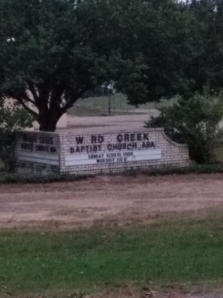
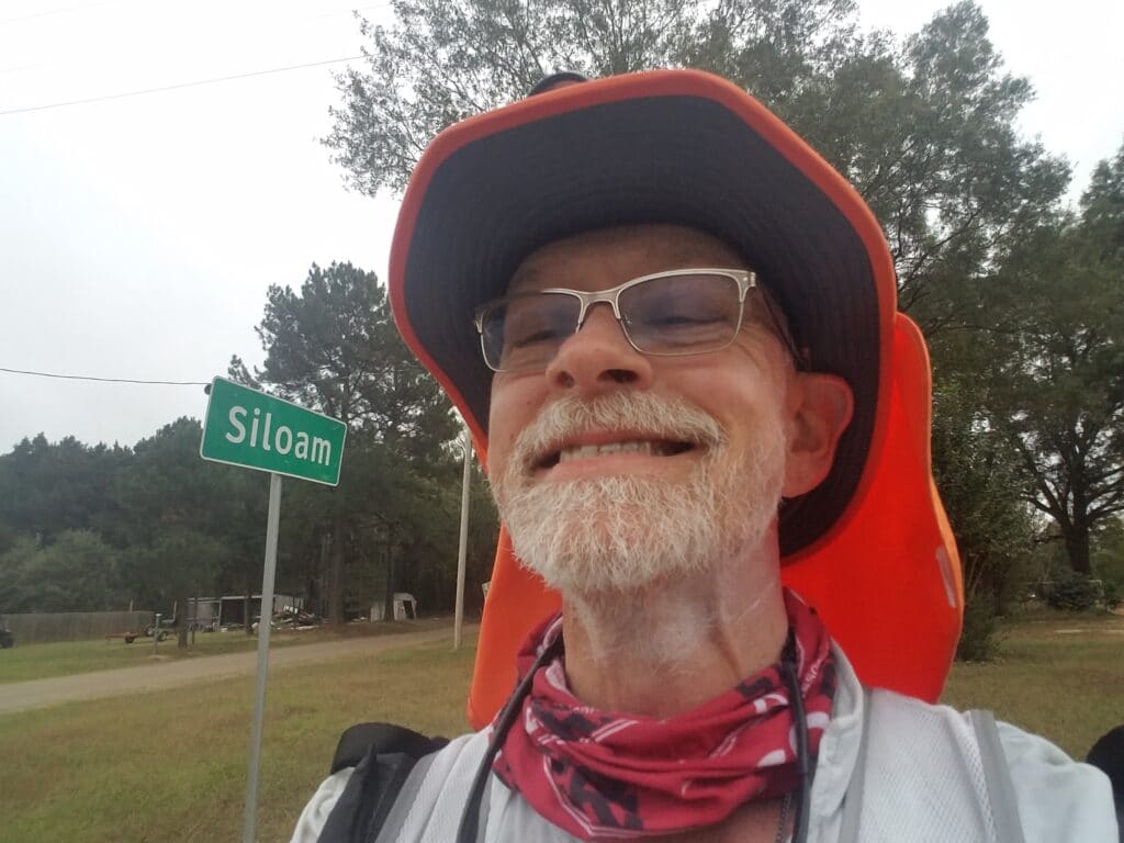
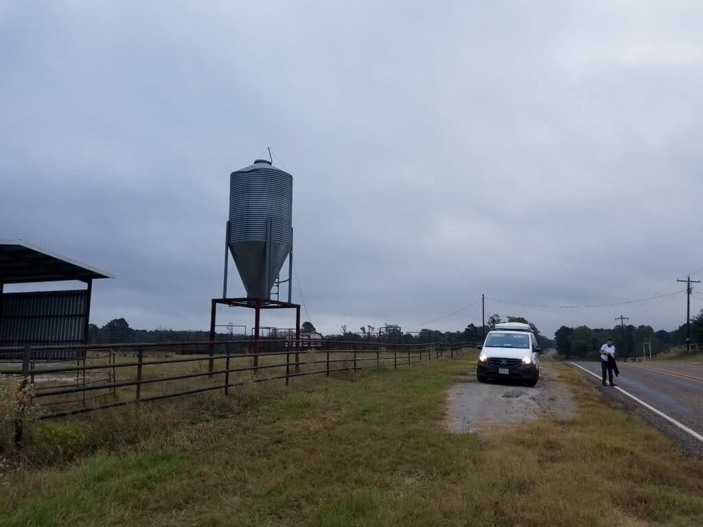
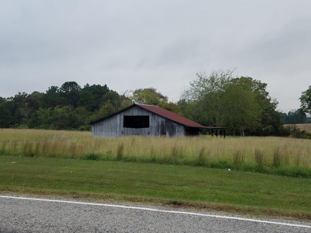
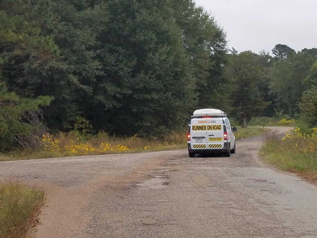
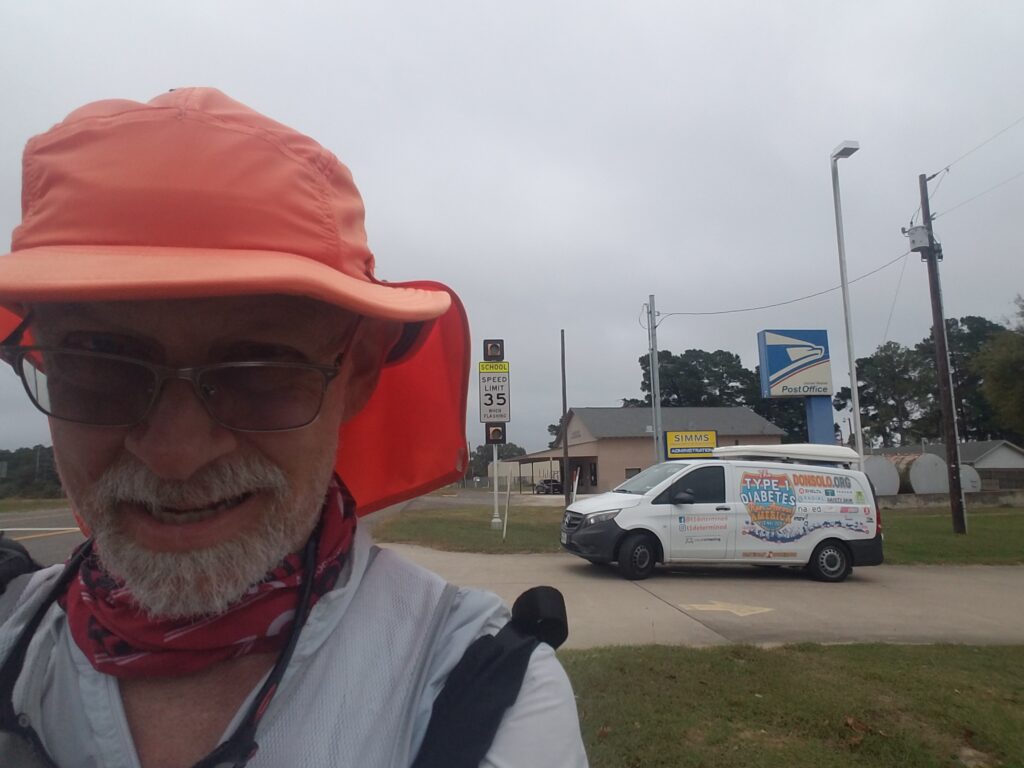
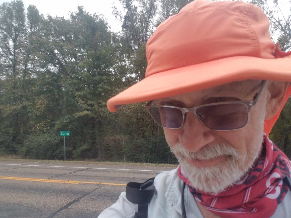
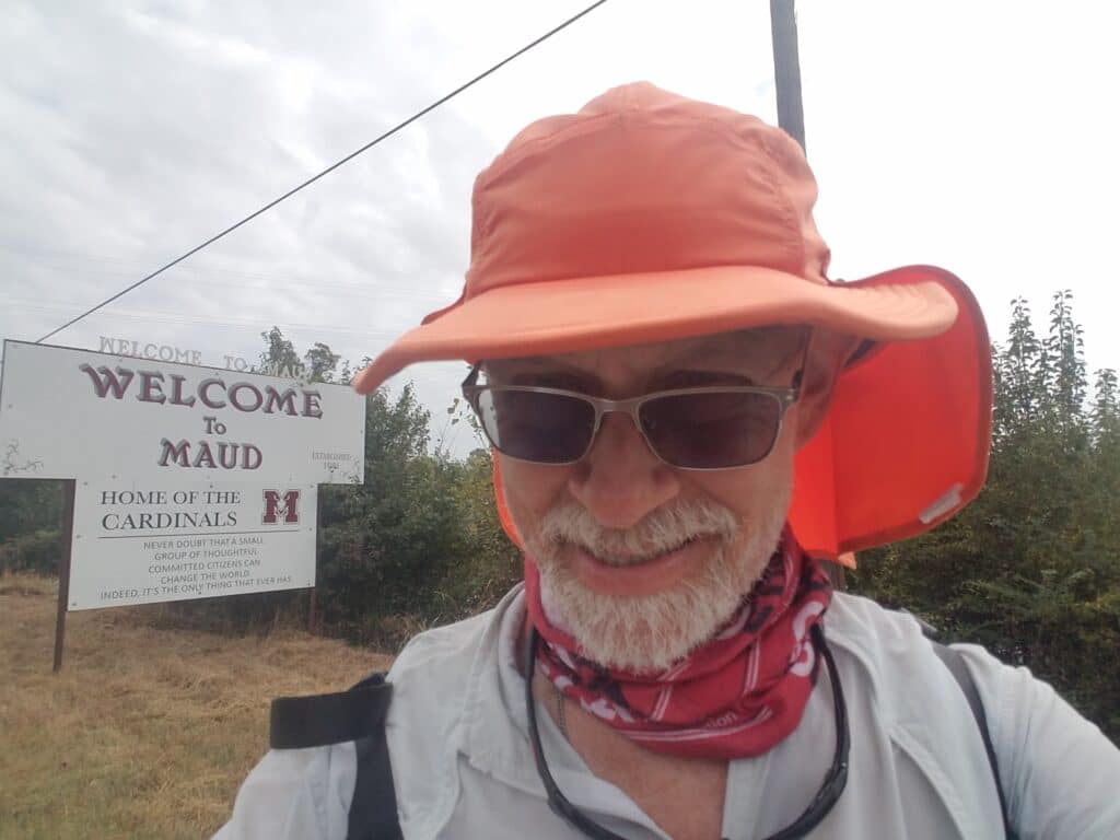
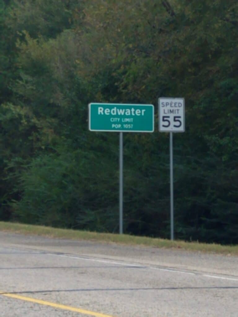
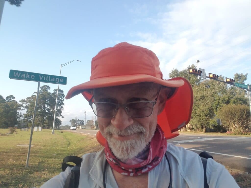
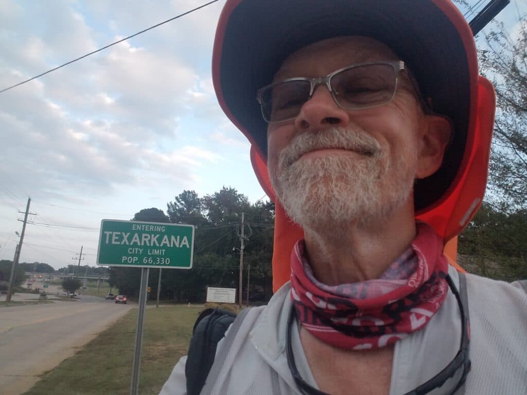
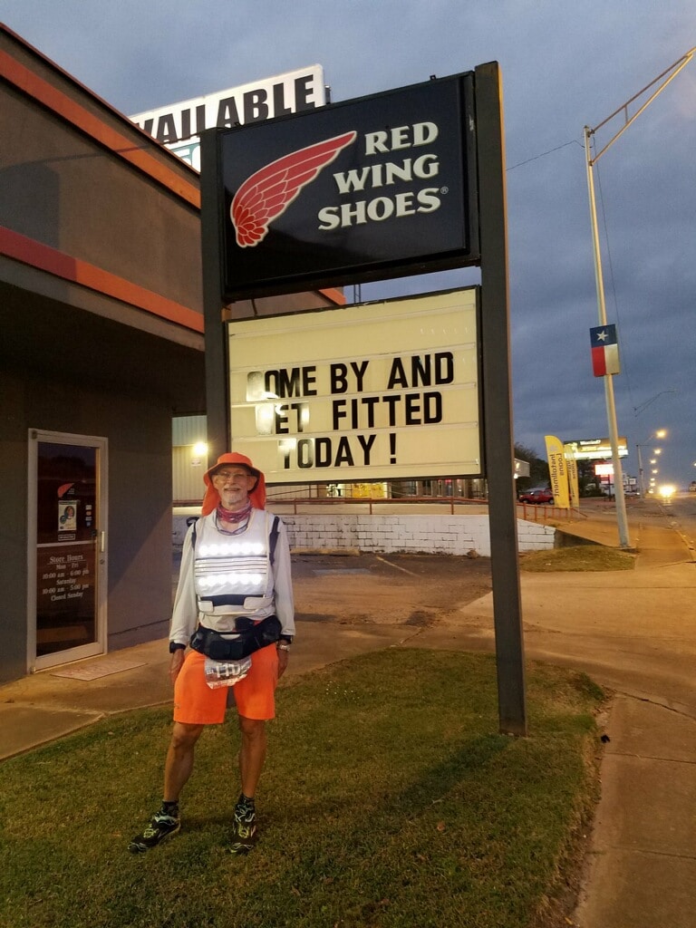
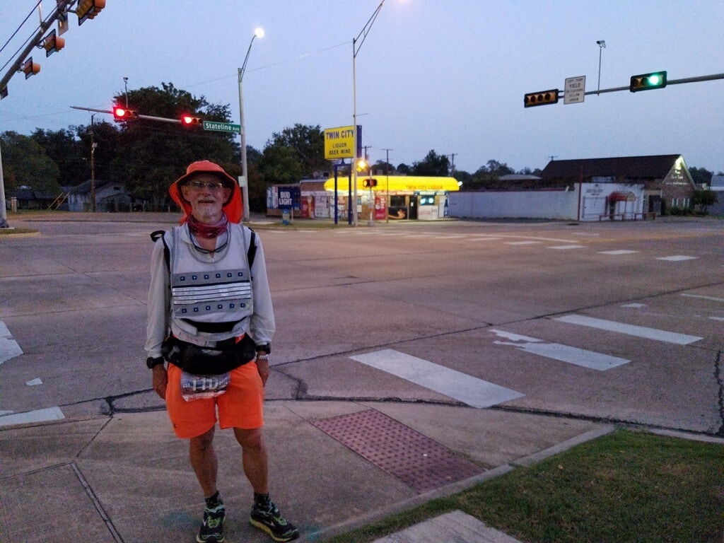
As usual, I started at dawn, though the clouds made it hard to tell the sun was even up. It was cold and windy. I reached Ward Creek Baptist Church by 7:15 AM, Siloam by 8:00 AM, and then a section of the route I had been unable to scout before, which I was hoping, based on satellite views, was paved. In fact, it was. I turned onto CR-990, where I spotted a painting-like farm structure, then along a series of short paved roads that eventually connected us back to US-67 at Simms near the Post Office, just past the section of 67 that I had found dangerous and wished to avoid.
The remainder of US-67 wasn’t bad, and this time, instead of turning onto 98, we continued toward Corley, which I reached around noon. About half an hour later, I was in Maud, and we paused for a quick lunch.
You’ll notice in one of the pictures that the street sign says Broadway. That’s not a coincidence. When the Bankhead was built, it was hailed as “The Broadway of Roads.” Many small towns changed the name of the road where the Bankhead ran through town to Broadway. And if you haven’t already guessed, we were back on the historic Bankhead Highway.
“Bankhead Highway, I just can’t quit you.”
By 2:30 PM I was in Redwater, still a fairly rustic, rural area. But there is a military facility nearby, and not surprisingly, there was some traffic, which picked up considerably as we got closer to Texarkana.
Just outside Wake Village, there’s a quiet road called Old Redwater Road, which eases into the Metropolitan area without most of the accompanying traffic of a medium-sized city. I reached Wake Village on the outskirts of Texarkana via Old Redwater Road, at around 5:15 PM, and reached the Texarkana, TX city limits at around 5:50 PM.
Sunset was supposed to be around 6:30 PM, so I had about 40 minutes to make the remaining three miles to State Line Road. I met Leslie where Westlawn, which Redwater Road becomes east of I-369, merges onto US-82, and let her know I was going to try to make it to State Line Road. I had already run over 37 miles and if all went well, State Line Road would mark a 39-mile day, the longest since September 24th.
I hauled it as fast as I could along US-82, bore right onto Texas Boulevard where the road T’s, and took a small residential street, 16th, through a dodgy-looking neighborhood that was probably better avoided at sunset. Some kids were playing soccer in a field nearby and the ball escaped the field onto the street. I kicked it back, waved, and wished them a good game.
A few blocks later, the road jogged right-left just a bit onto 14th, and given the waning light, Leslie had taken to driving ahead just a block or two at a time, marking the turns. That was the last of them. Two blocks after that, almost exactly at sunset, I emerged onto State Line Road, between Red Wing Shoes (what better to mark the day’s end than a shoe store?), a liquor store, and the local offices of the Texarkana Democratic Party. Draw whatever conclusions you want.
Finally, we had made it across the largest state in the US for the second time, out of Texas, to mile marker 1800 exactly, and were now officially in Arkansas.
10/19/2020 to 3/1/2021: Second COVID pause
After arriving in Texarkana, my wife (and crew chief!) and I looked at the Johns Hopkins COVID numbers for the deep South. They were profoundly disappointing. I will still a little jazzed after getting in another 550 miles the rest of the way across Texas, and I kept hoping we could make it another 200 miles across Arkansas while we had a good head of steam.
Every time we had to pause: first for my dad’s funeral, then the first time for COVID lockdowns, I felt like not only was my goal of running across the country getting farther away; but also like by the time we had a good window of opportunity to resume the run, we’d lose it in the week or so it took to restock the van and repack my gear.
In the mean time, I tended to the apple trees I had planted from seed during the first COVID pause. The largest of them was now almost a foot tall. That brought me some peace, but it also reminded me that time was passing and I hadn’t continued my run yet.
I stubbornly refused to wear my GPS locator beacon during training runs in order to keep my USA run record as clean as I could. After a tracker failure in Nogales and TWO Suunto watches that both had the same bug of eating workouts after 1000 kilometers, I felt snakebit. Regardless, I clung to the kernel of hope of resuming the run. I no longer entertained fantasies of creating some kind of new FKT or other record, but I still left most of my gear in the van except diabetes supplies and continued my training runs in ratty old gym shorts, shirts, and jackets that I had stopped wearing for good reason (too cold, didn’t fit), and old, nearly-worn-out running shoes. But as winter set in, my mood soured.
3/2/2021: Texarkana AR to Stamps AR
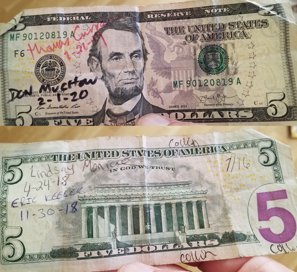
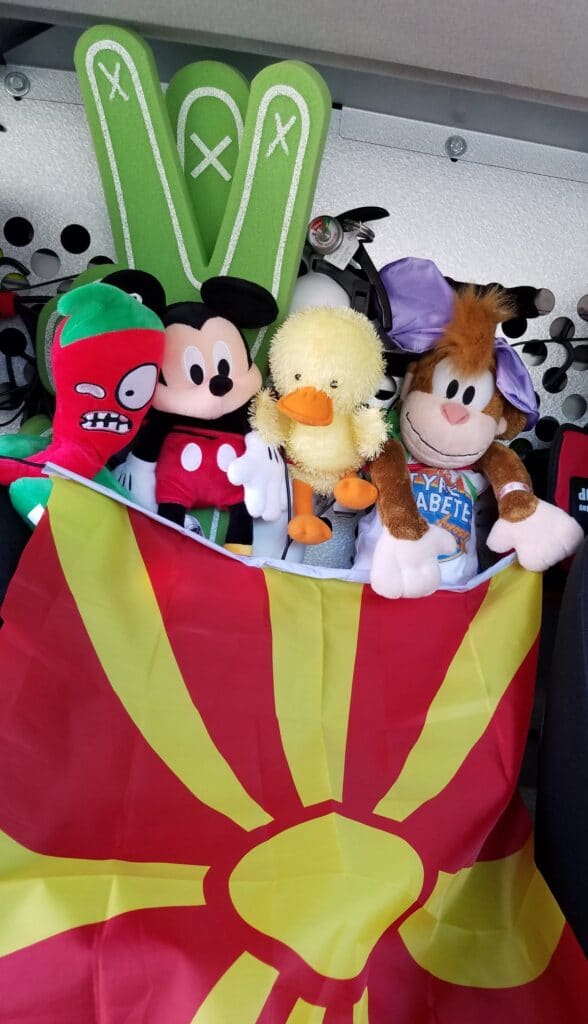
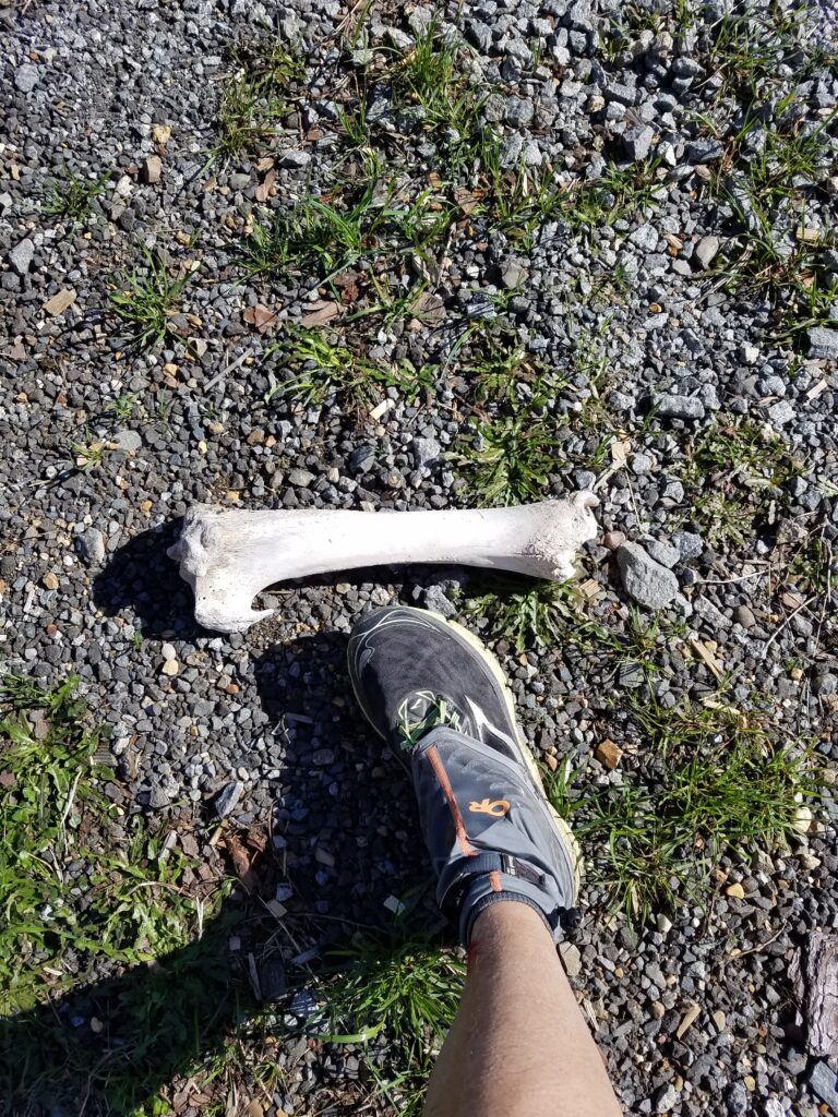
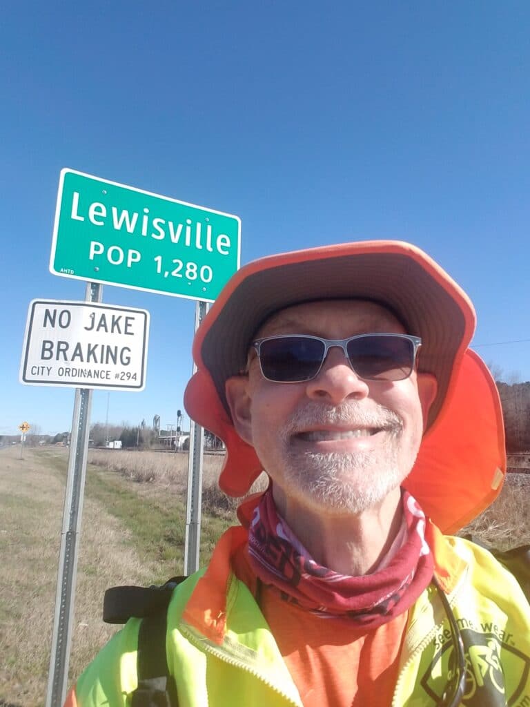
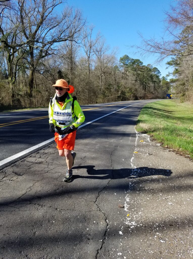
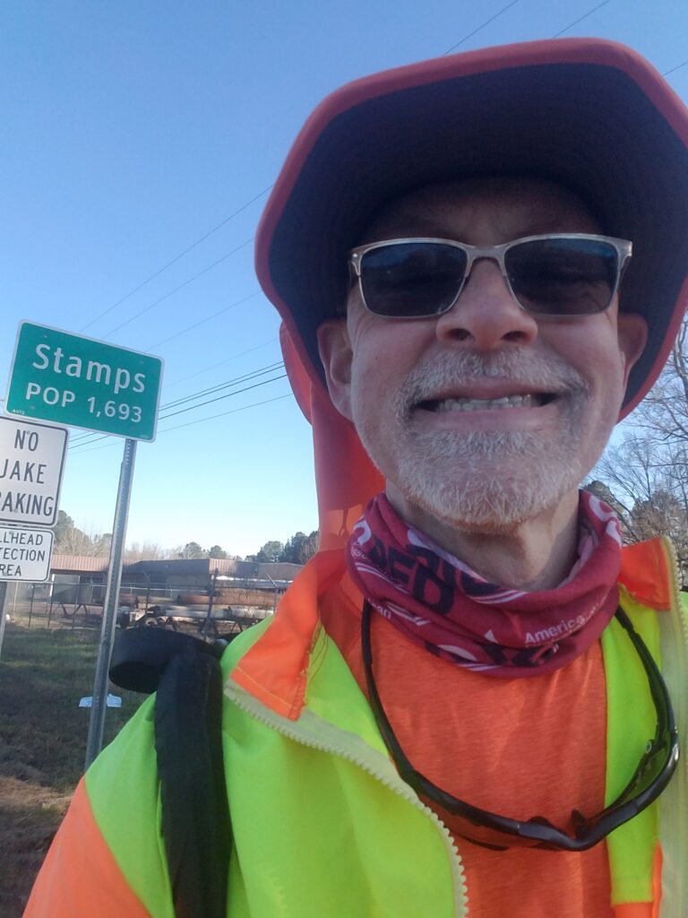
Before resuming my run, I wanted to carry on a tradition made popular in the Facebook USA Crossers group. A number of years ago, a kid gave one of the USA Crossers a $5 bill to use “in case of emergencies.” That fiver was passed to another transconner from the original recipient as a sort of “good luck on your run” token. I received it back in February 2020, and with only 1000 miles to go and a good chance of finishing, I signed and passed the $5 bill along to Steve Meyer.
We were also starting to amass quite the team of mascots, including a crazed-looking pepper we had nicknamed Dr. Pepper (to represent Texas), a Mickey Mouse plush toy and Coco the Diabetic Monkey (a joint venture of Disney and Lily Diabetes), as well as one of several plush toys we kept finding on the runs: a small yellow duck we nicknamed Duck Fiabetes. Finally, fellow Type 1 Tode Jovanosky, who had been following the run from North Macedonia, sent us his nation’s flag and asked us to carry it to the beach.
We had every intention of doing so, and for some reason, when March 2, 2021 came, I felt like we could. After spending about a week packing and stocking the van and double- and triple-checking our daily mileage plan and cue sheets, both Leslie and I felt ready to go.
I set out from State Line road in Texarkana, AR right around sunup, and snapped the first picture above of the quiet residential street I would follow back to US-82, a highway I intended to follow, with rare exception, all the way through Arkansas, Mississippi, and into Tuscaloosa, AL.
It wasn’t long before we were beyond the city limits and back out in open country. Right around lunchtime, I passed a crumbled old building that looked like it might have once been a general store. That was the America I had seen a lot of in the first 1800 miles of my run, and it instantly restored my sense of acquaintance with the open road.
There were the occasional odd things, such as the largish bone I encountered mid-afternoon, but for the most part, things were quiet.
One of the adaptations we had been forced by COVID precautions to make was to locate well-ventilated lodging (usually with windows that could be opened), wipe the hard surfaces with disinfectant, and spread out a sheet of Tyvek on which to put our luggage. We also brought a CO2 monitor so we could determine when the air originally in the property had been more or less replaced with fresh air from outside. This extra prep time meant that I could no longer as a practical matter target 40-mile days, which I didn’t much like anyway, and given the months-long COVID delays, I had grown accustomed to things just taking a little longer. Now my focus was simply to finish, without particular regard to time, while still running the day’s miles and not walking them unless the terrain demanded it.
I reached my initial goal of Lewisville, AR a little early, around 3:30 PM, and we made the decision to continue running to Stamps. Leslie drove ahead and saw an ambulance going the other way. She texted me to make sure I was okay, which I was, and we fell into the habit of proactively notifying each other we were safe when we saw such things. I reached Stamps just before 5:00 PM, stopped my tracker and GPS watches, and Leslie and I drove ahead to our Air B&B outside Magnolia AR. It was a 36 mile day and I was happy.
3/3/2021: Stamps to Village AR
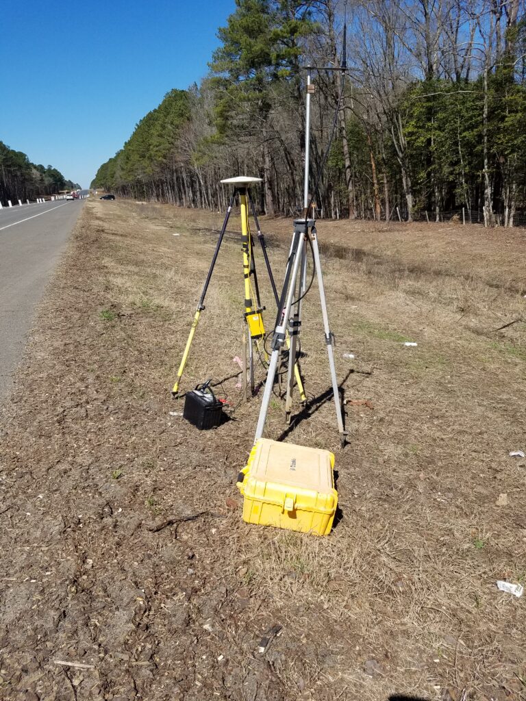
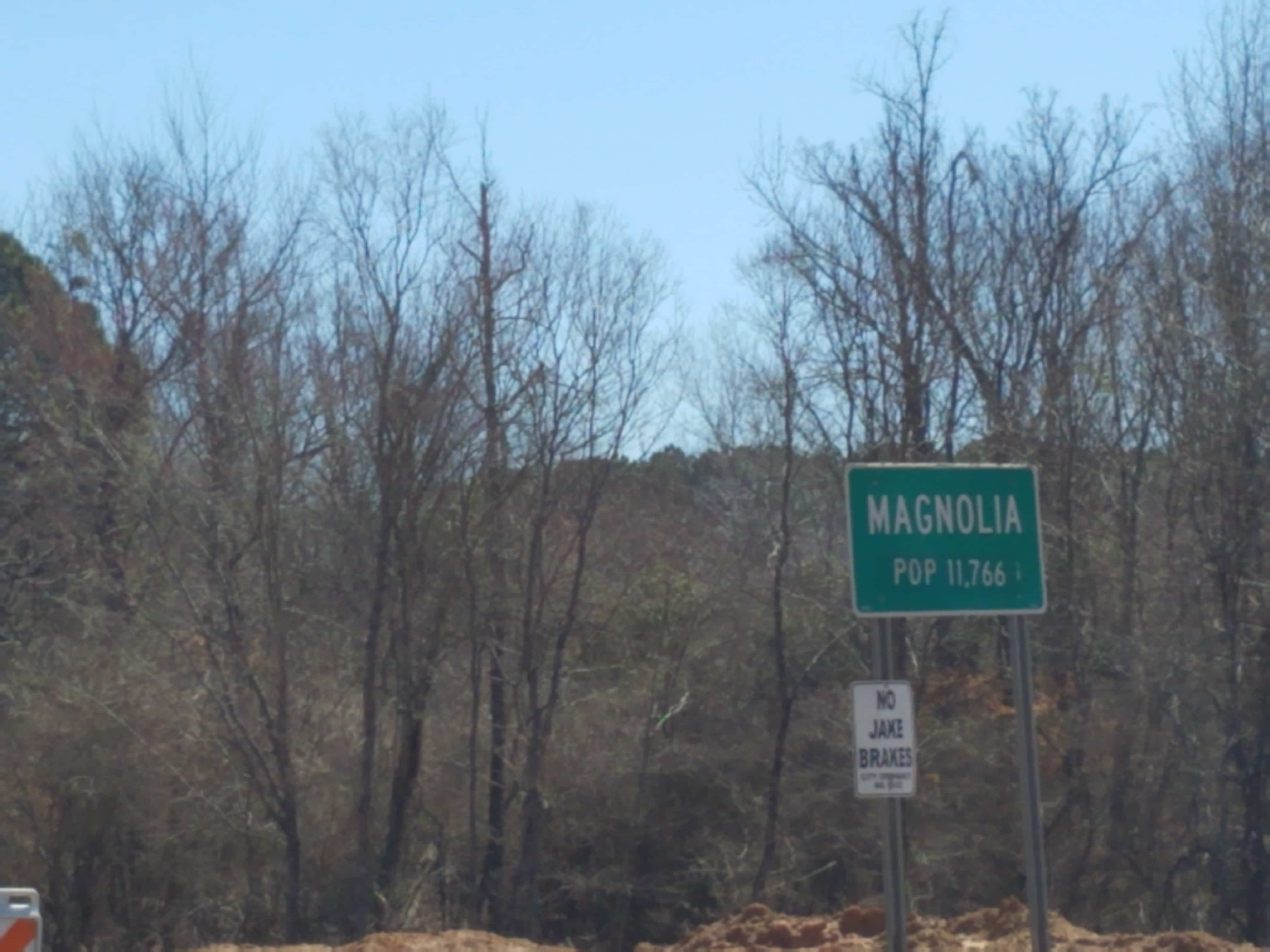
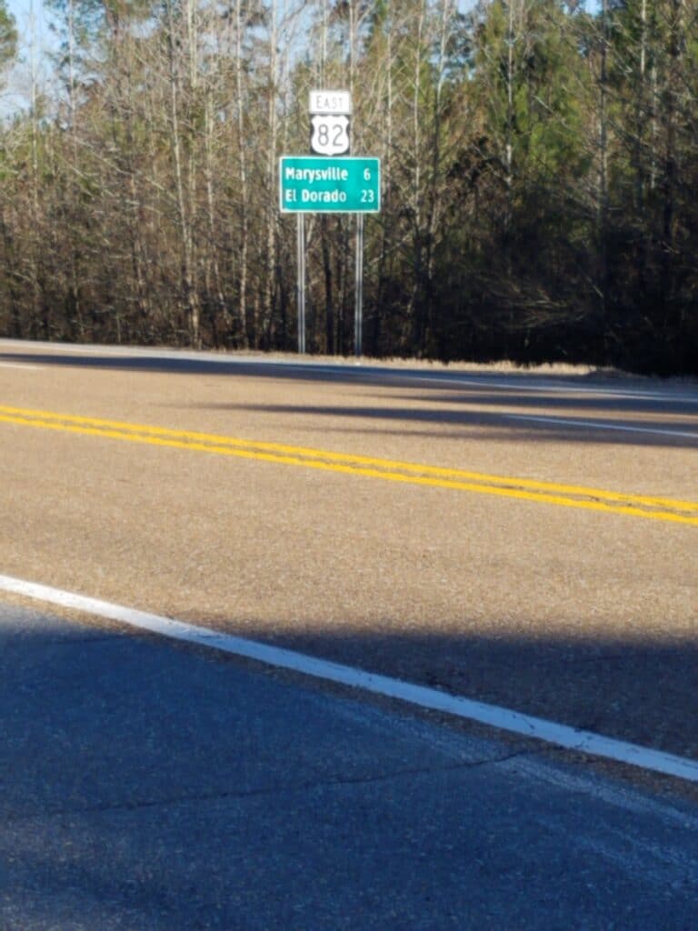
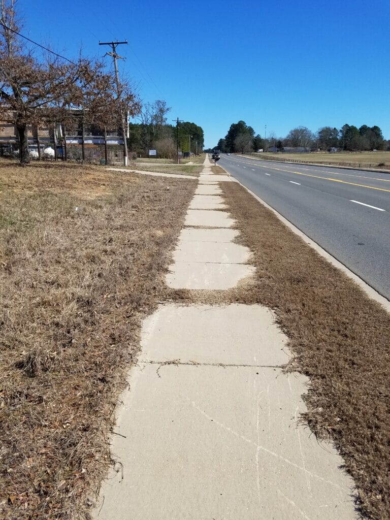
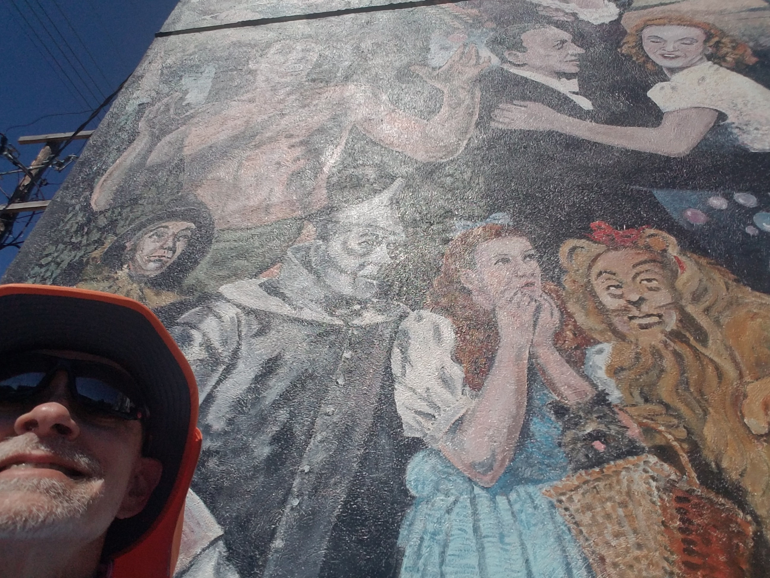
Heading out of the Air B&B in Magnolia, we encountered early morning fog in some of the low-lying places, and I was concerned that I’d be running in it, which meant wearing my lighted vest, a sometimes-necessity that added weight and a layer of clothing that sometimes kept away the chill and sometimes left me feeling a bit too warm. Fortunately, by the time I started around 7:30 AM, the fog had already either cooked off or I was running in places that were high enough or windy enough to not hold it for long.
Somewhere in the vicinity of Buckner, I encountered a surveying crew and chatted a little bit with them, since my brother-in-law had been a surveyor and I could appreciate a little of what they were doing.
I continued east until I almost missed the turn onto US-371, then turned and headed south. At around 10:30 AM I saw a railroad and a train approaching the crossing from a distance. I made it across in time, although I had to pick up my pace a bit. I texted Leslie to let her know “My train juju is strong.”
I reached Magnolia and the beginning of sidewalk about half an hour later. There was a painting on the side of one of the buildings downtown depicting Dorothy, the Cowardly Lion, Tin Man, and Scarecrow. Regrettably, my “yellow brick road” gave out not long after I exited Magnolia. It was a pattern I’d long since come to recognize, but the first time I had seen a metaphor for the journey.
I ended the day’s running at Village, AR, at the gas station at the intersection with AR-98.
3/4/2021: Village AR to Hillsboro AR
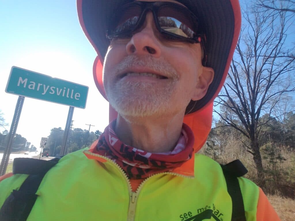
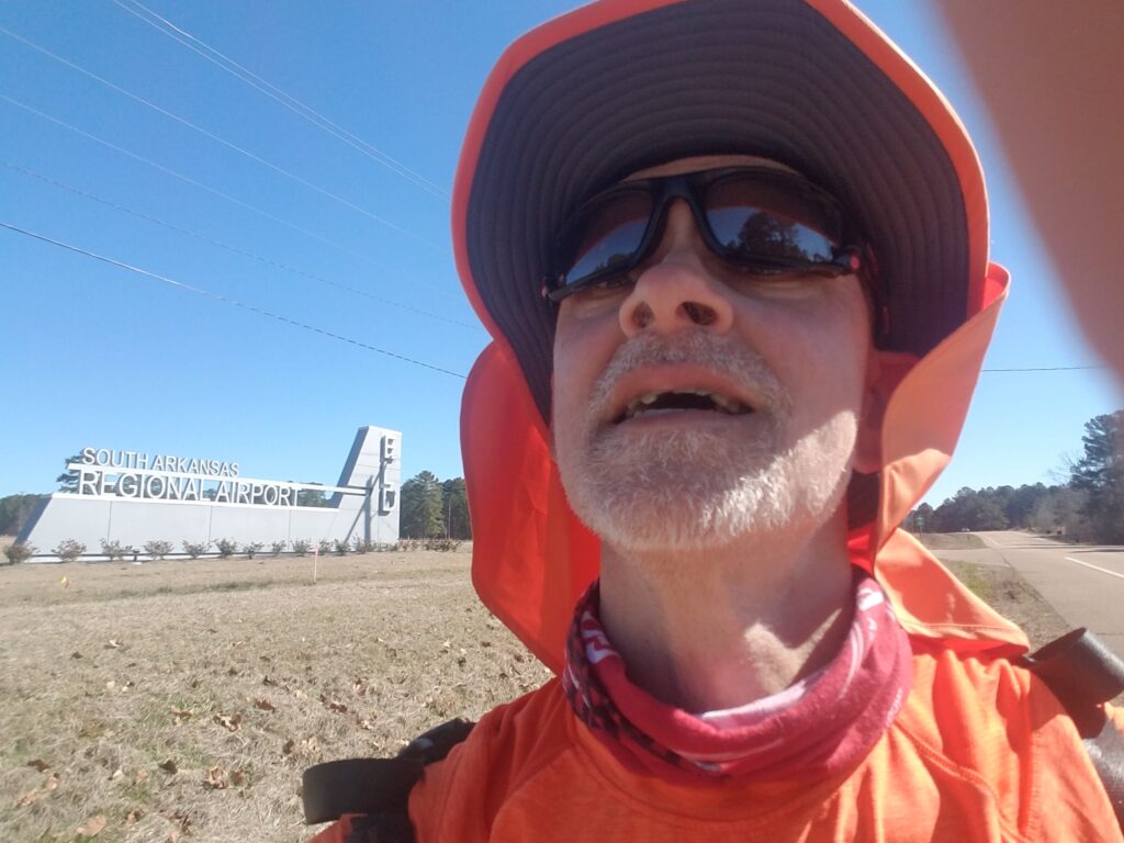
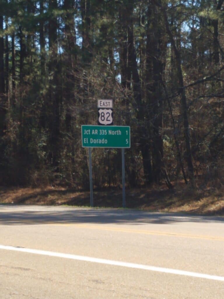
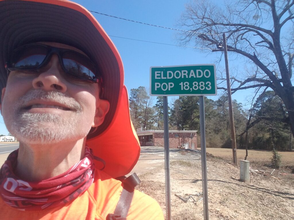
I started the day in Village, AR at the Citgo, about 15 minutes after sunrise, around 6:45 AM. It was quiet and cool, but my legs were a little tired from the previous day and I was starting to get the sense that if I kept putting in what were for me long mileage days, I was going to pay for it sooner or later. It took me almost 2 hours to get to Marysville, which is just a road sign with a town name on it next to the intersection of US-82 and AR-57. Nevertheless I pressed on.
Around 11 AM I reached the South Arkansas Regional Airport, one of my few landmarks, and reached El Dorado, which the locals pronounce El Do-RAY-do, about two hours later. The shoulders were good for the most part and it made for pleasant running.
I didn’t want to push the distance any farther than about 30 miles, as we had taken up the practice of using the same Air B&B as “home base” for a few days, and the farther we got from Magnolia, the longer the drive was going to be and the less time I’d have to get a hot shower, supper, and get to bed in time to drive to the starting point and do it again. I know that’s not much more than 50K, but after the funeral and the two COVID pauses, I wasn’t nursing any fantasies of trying to set any records.
In this part of Arkansas, there is almost nothing that makes for a good landmark, so around 33 miles, we spotted a small side road that Google Maps showed had a named street sign, aimed for Red Gaddy Road, and ended the day resolved that we’d probably be able to find it again. We learned later that that was Hillsboro, and I think, pretty much all of it.
3/5/2021: Hillsboro to Crossett AR
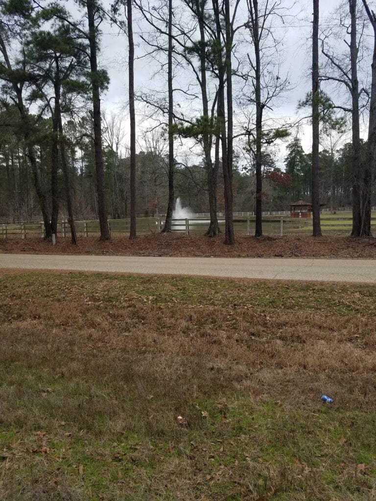
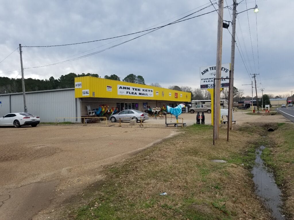
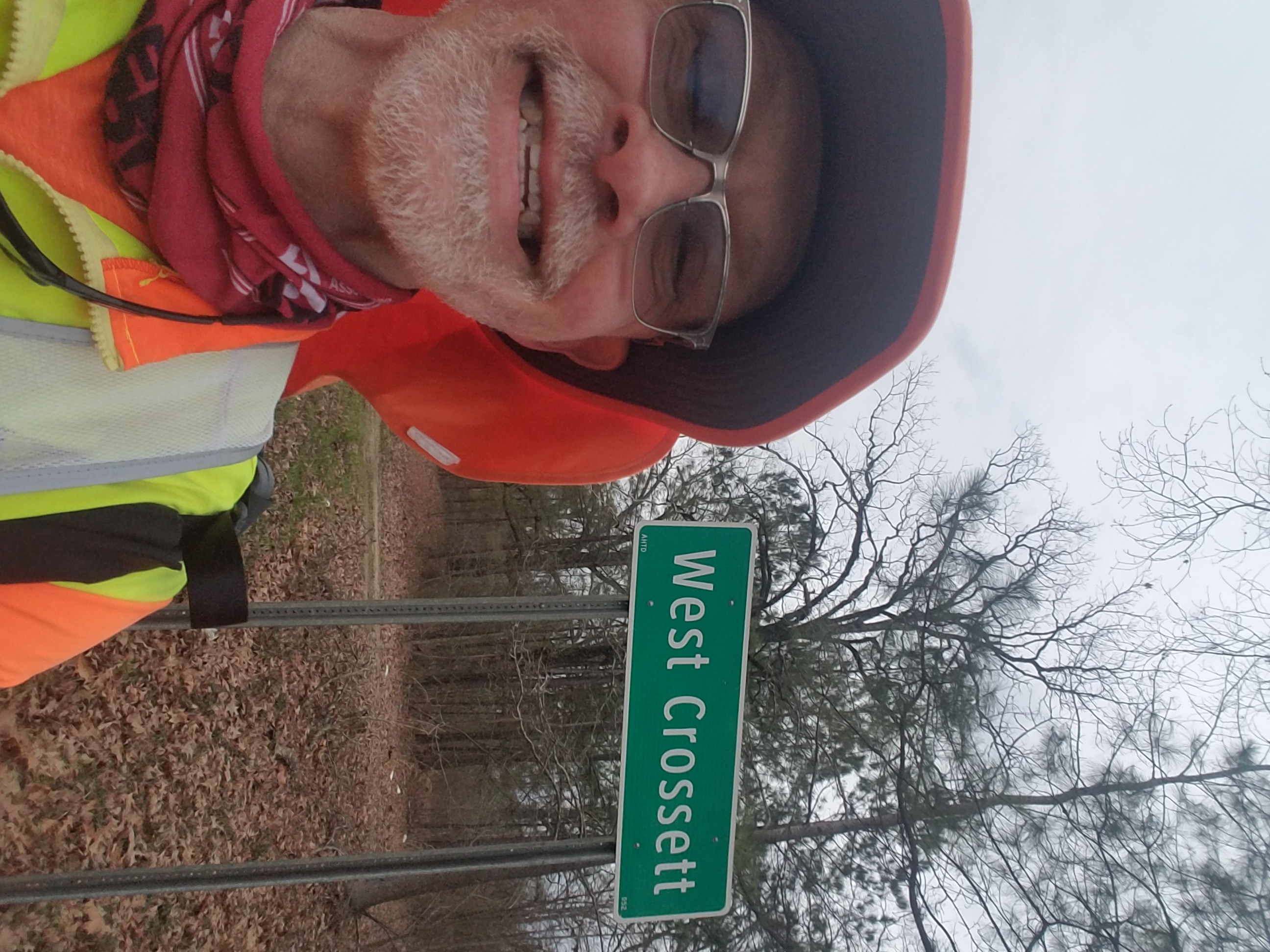
My mornings in Arkansas were cool and sometimes damp, but not rainy. Generally overcast, and that kept a bit of chill to the day that took a while to cook off, if at all. I started my morning at the Citgo and ran through some beautiful country with more of the tall pines I had first started encountering in eastern Texas.
A little after 10 AM I was in Strong, AR, a small town that had a few stores and a flea market. My little sister is a bit of a garage sale aficionado, and given the name of the place, I had to snap a photo of “Ann Tee Keys.” There was also a very attractive smelling food truck BBQ joint across the street called something like “Big Boi’s.” I came very close to stopping by.
There were a few narrow bridge crossings I had known about from previous scouting trips, but for the most part in reality they weren’t as scary or as numerous as they had been in my mind.
The rest of the day went fairly quietly…except for around 3:30 PM, just outside of Crossett, when I heard a loud screech behind me and jumped instinctively into the ditch. A woman had from the looks of it been texting, drifted into the westbound lane behind me, and swerved to avoid hitting me, steering her car into the muddy ditch on the south side of the road. I went back to check on her. Her airbag had deployed. A passer-by had already approached the car to check on her. I asked if she needed anyone to call 9-11. She said no, she was shaken but all right, and the stranger reassured me that someone was already on the way. She seemed more concerned about telling her husband she had wrecked the car.
I was a little shaken myself, and ready to get off the road.
At around 5 PM, I reached the outskirts of Crossett. As we were still on daylight savings time and we had a bit of a drive to the Air B&B in Fountain Hill, we called a day stop at approximately 34 miles at the Quick Draw convenience store.
3/6/2021: Crossett to Donbey / Montrose AR
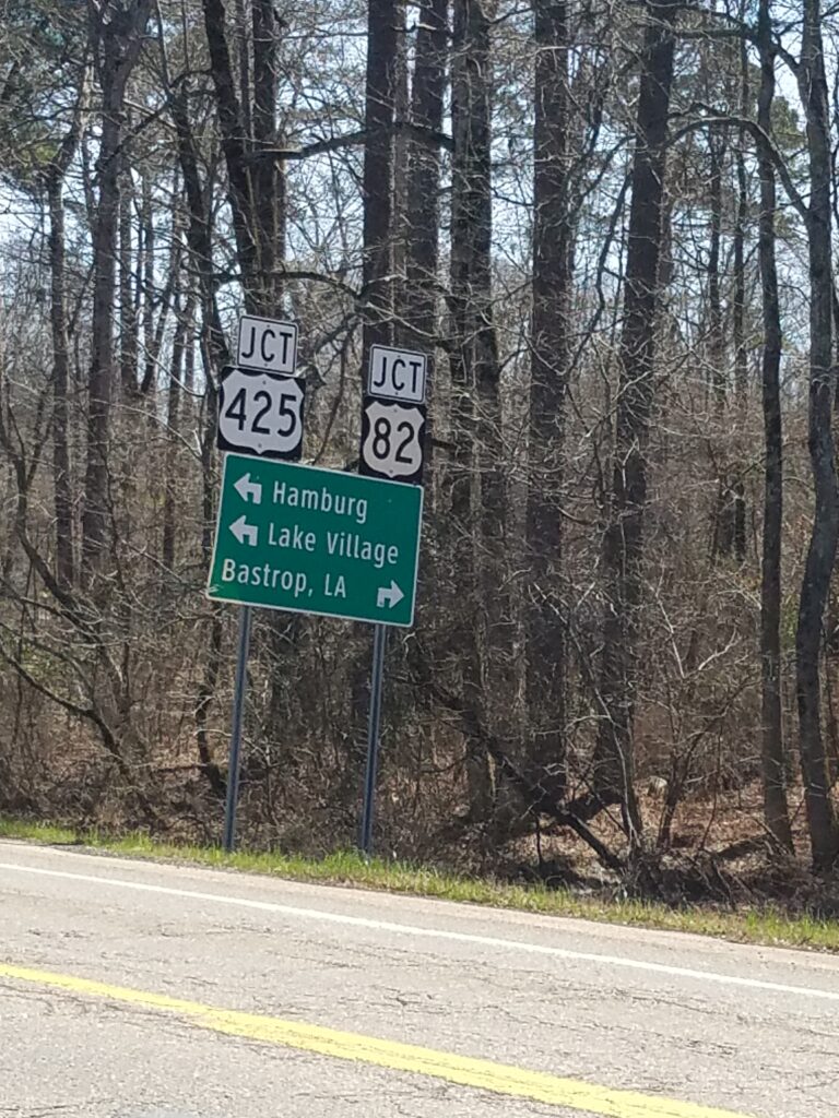
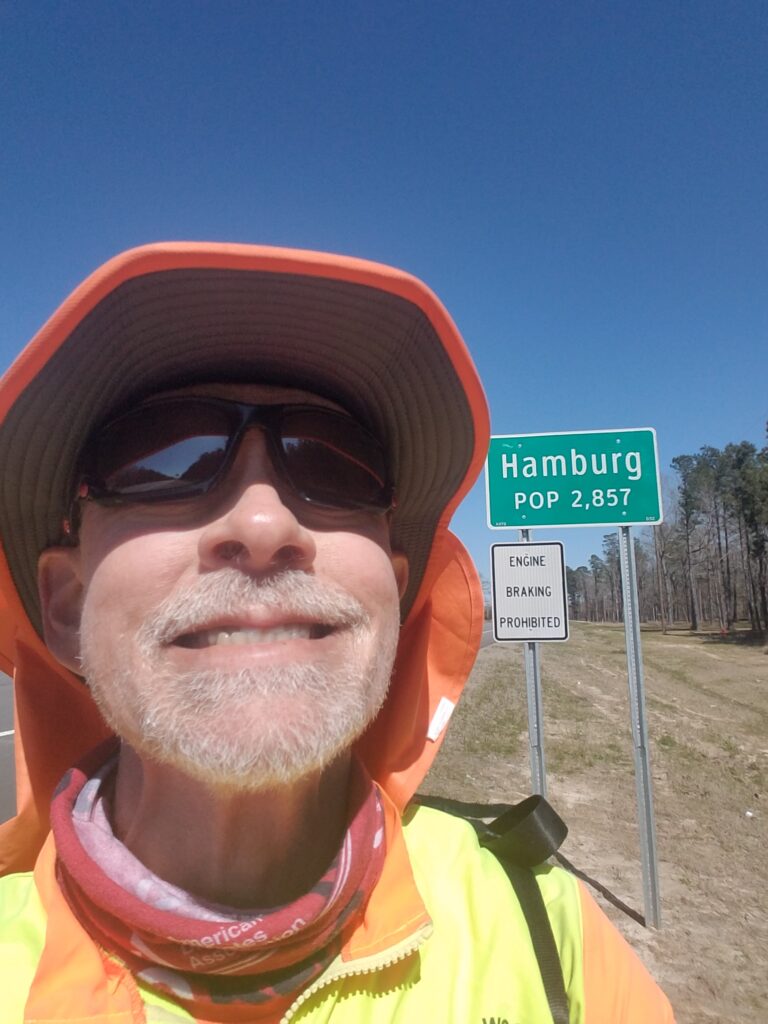
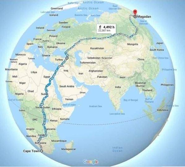
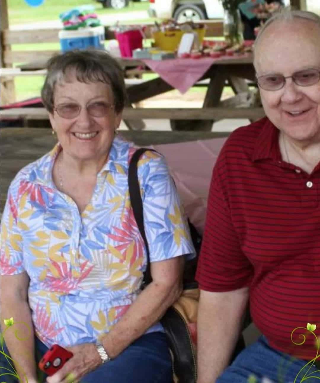
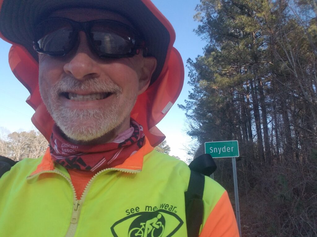
The night of March 5th in Fountain Hill was probably one of the worst lodgings Leslie and I have ever experienced short of outright renting a room in a fleabag motel. The bed was horribly uncomfortable, the room was drafty, and the water in the shower stayed hot for only about 5 minutes at a time. The house felt like it had been built in the 1970s, not quite finished, then left that way. None of that insight, however, was allowable under Air B&B’s review policy.
It was a relief to get going the next morning. I was cold and uncomfortable and even running on blisters, which thank God I wasn’t yet, would have been an improvement.
As usual, I began running as close to sunup as we could manage without having to awaken before 530 AM (it usually took me about an hour to get “geared up”, and another 20 minutes or so to get to the day’s starting location.).
Here and there I could see signs of the effects of the strong winds and weather that had been threatening the area off and on. Leslie and I were watching the forecasts closely, as I was greatly conscious of the fact my dad’s birthday, then 3 days later, the anniversary of his passing, were approaching. I didn’t want any weather delays, and was prepared to run in anything short of a thunderstorm. But the downed trees made me nervous.
Approaching noon, As I began to see signs for Hamburg, I started to realize that I was gradually getting closer to the Mississippi River. I was already 150 miles across Arkansas’s 200-mile width. I reached Hamburg around 12:30 PM, which boasted two gas stations and a brief respite from running on US-82.
The day had its highs and lows. Someone sent me a meme showing the longest possible run across the globe, starting in Cape Town, South Africa and ending in Magdalan in Russia’s Kamchatka peninsula in Siberia. I laughed and commented to them that the route would go through Sudan and the Gaza strip, and maybe Pete Kostelnick was up for it. Turns out Pete had seen that meme a million times before and was kind of tired of it. I think I know why.
Unlike Texas, there hadn’t been as much obvious news media interest in the resumption of my run across the US as I had expected. Around 2 PM, a reporter from the Crossett newspaper showed up out of nowhere to do an impromptu interview. But not even my hometown newspaper or TV station had shown interest…yet. A year ago, WABG had said they wanted to do a studio piece when I came through town. But that was before COVID, and as I got closer to Greenwood and in need of an answer, we heard nothing from WABG. That put me in a bit of a funk. If they did call, it would probably mean pushing the deadline tighter on getting to Greenwood and my dad’s gravesite by March 10th. If they didn’t call, then clearly whatever interest there had been had evaporated as the months had gone by; and I began to think nobody would notice me finishing the last 1000 miles of what had been not only an epic run, but a physically, psychologically, and emotionally draining one as well.
Then later in the afternoon I started to think about my dad. I had allowed some anxiety to build up about making it to Greenwood, MS, where he was laid to rest almost a year earlier, so I could keep my promise to leave at his gravesite the shoes I had worn running across the US’s three deserts (Mojave, Sonoran, and Chihuahuan). During the roughest time a week after his death, I had felt his presence strongly. He had said he was proud, that he knew I could finish. But neither of us could control the weather, and a couple days of thunderstorms would make me break my promise.
I reached Snyder AR around 4:30 PM. Leslie and I debated whether to try to reach the fork in the road where the highway at Montrose separated, the right side going over an overpass bridge with no shoulder, the left side heading into town. That would have been 36 miles. But I had an hour and a half of sunlight left, and that would put me at the intersection of US-82 and CR-151, about 3 miles outside of Montrose proper. I was never quite sure whether we had made it to Montrose or Donbey, but that’s where we stopped for the day. It was findable.
And THIS time when we returned to the Air B&B in Fountain Hill, at least I knew to not start the shower until I was ready to get in.
3/7/2021: Donbey / Montrose AR to Greenville MS
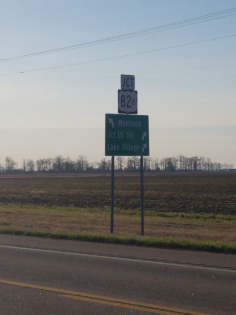
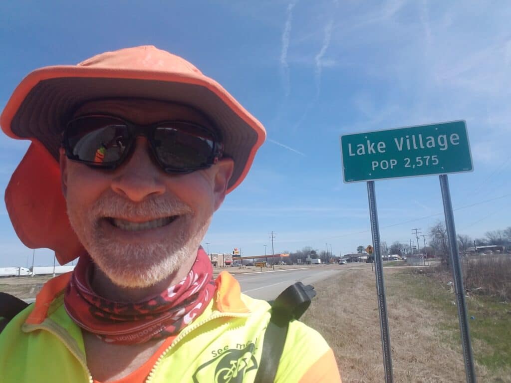
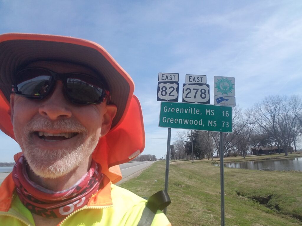
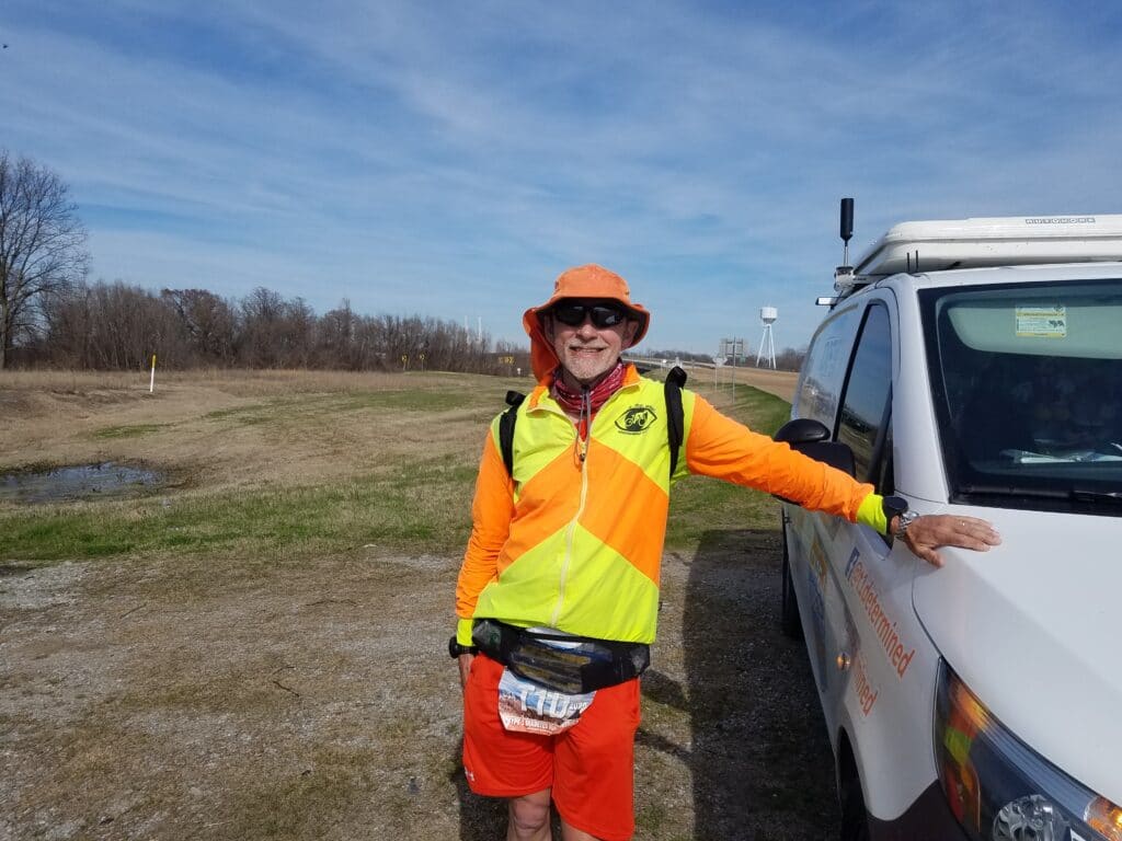
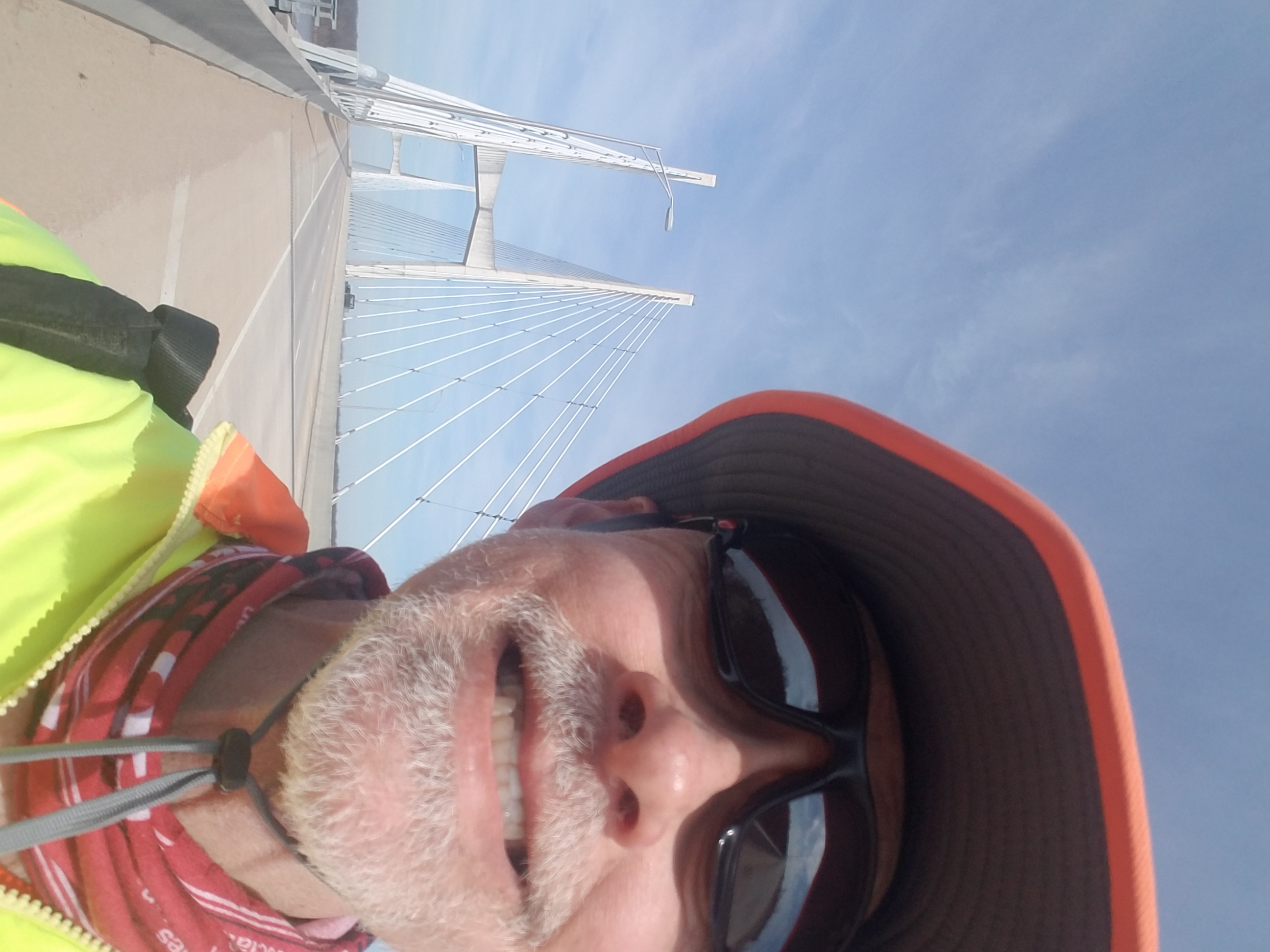
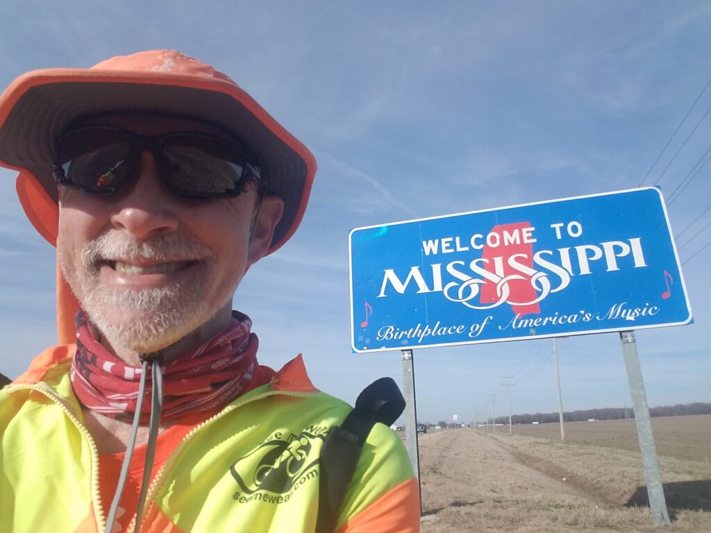
I resumed running the remaining three miles into Montrose proper around 7:30 AM. The air was cool, and after about 40 minutes I found myself in the tiny town’s residential area. I could hear the sound of a distant train and it reminded me a little of the town in Mississippi where I had lived during my teenage years. I also saw the first squirrels I had seen in a while, since Dallas, in fact. I was in a good mood.
As I approached the train tracks on the east side of town, I saw that the train I had heard before was long and fairly close to the crossing. I had just enough time to dart across the tracks and to the other side. This sort of scenario had occurred enough times before on the run that Leslie and I had a special name for it: “good train juju.” (We also had “”Porta potty juju”, but that is different).
I had good train juju that day, and as I continued past the tracks, made the slight jog to the right and down a quiet road that was home to a small BBQ sauce making business (what was it with BBQ sauce, anyway?), I could feel my pace quicken. This was the last leg before the Mississippi River.
I reached the western edge of Lake Village around 11:00 AM, and we took a quick curbside pickup lunch break at the McDonald’s. The river seemed so close now, but it was still another nine or so miles away. As I ran the remaining stretch to the bridge, my mind was buzzing like a bee: would I need my hat’s chin strap on the bridge? How fast would traffic be? Would my blood sugar spike as it had in the past when I was in high-stress situations? What time would it be when I finally found myself in Mississippi? How long was the bridge and how soon would I get there and then be off of it?
I sang to myself as I often did, because sometimes it calmed me and helped set the pace (I didn’t listen to music because it drowned out the sounds of approaching traffic and distracted me from what was around me). A tune came to mind that I hadn’t heard in a long while: the Alan Parson’s Project’s “Time“, from the album Turn of a Friendly Card. It was an accident, perhaps, that when I got to the lyrics “who knows when we shall meet again, if ever?” that I was suddenly overcome with a wave of sadness and thoughts about my dad. Later in the afternoon, I learned that my brother and one of my sisters (probably both) had been visited by similar thoughts that day. At least I wasn’t alone.
Somewhere outside Lake Village around 1:30 PM I spotted a sign that said Greenville MS was only 16 miles away, and I knew a good portion of that was east of the Mississippi River, as distances were usually measured from town center to town center. I was almost there.
Just before 3 PM, I reached the western side of the Mississippi River bridge into Greenville, one of only six pedestrian-safe crossings of the Mississippi River (south of Memphis, there are only the bridge into Greenville, a pedestrian bridge along an old railroad track into Vicksburg, MS, and Louisiana Hwy 10 into New Roads LA). Now only the bridge remained.
I could have probably gotten by without the chin strap, but as a double measure of caution, I not only lowered the chin strap into place, but I fastened the hook that dangled from it into the zipper pull of my jacket. I did not want to lose my precious bright orange Shelta boonie hat! I snapped four fast photos while on the bridge and hoped that one of them turned out.
The bridge turned out to be 2.5 miles long. I got sandblasted by approaching semis. I ran as close to the railing as I could. And then, at 4 PM, I was in Mississippi. I ran a little farther into town, stopped at a CEFCO near Harbor Freight Road, and called it a day. It was a 35 mile day, beyond what I had hoped to do, and I was relieved to be past the bridge and off the emotional roller coaster. I felt certain now that I would reach my father’s gravesite before March 10th. I had 3 days left and only 60-ish miles to go. Even if WABG called and there was a 1-day delay, I’d be able to make it.
3/8/2021: Greenville to Stinson Road / Big Sunflower River, Moorhead MS
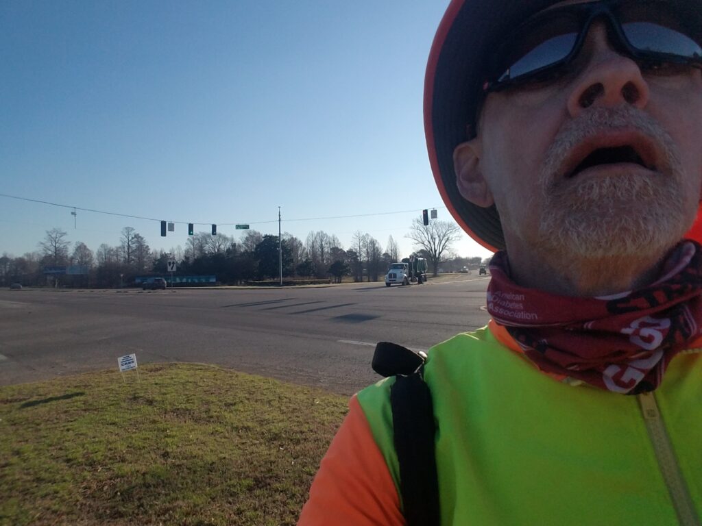
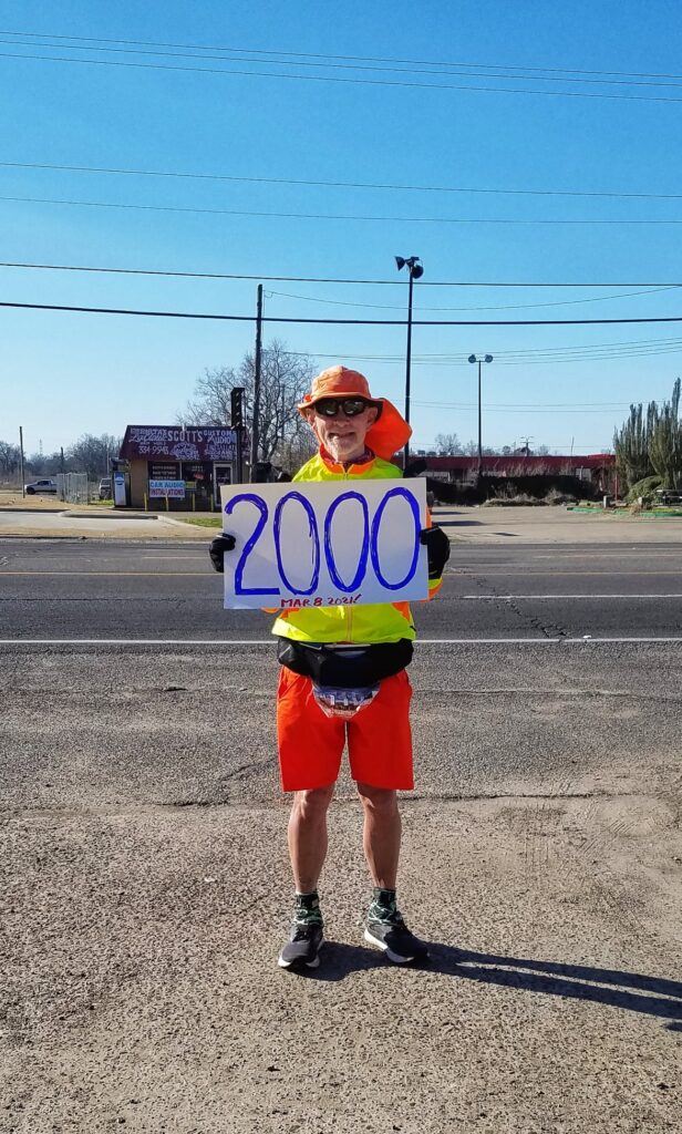
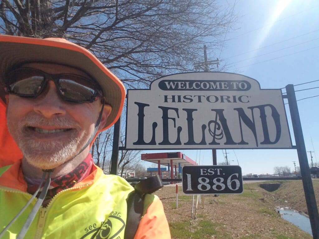
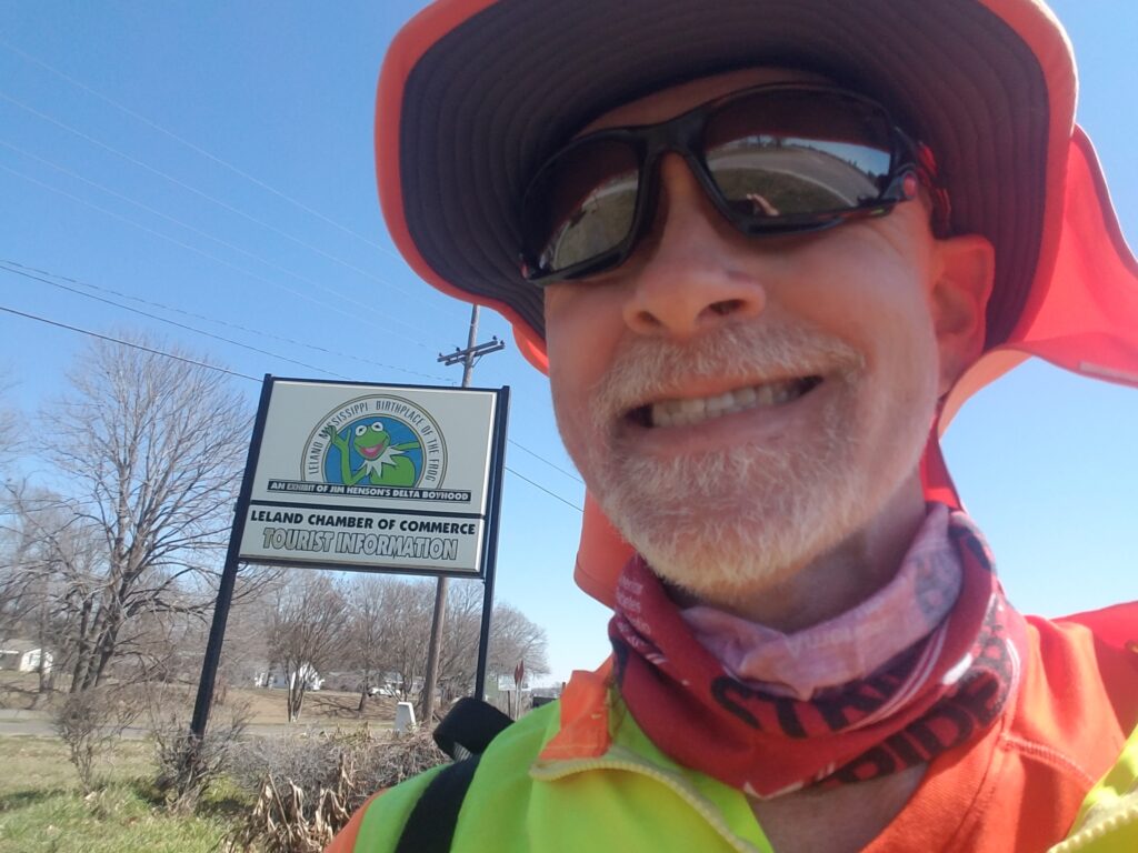
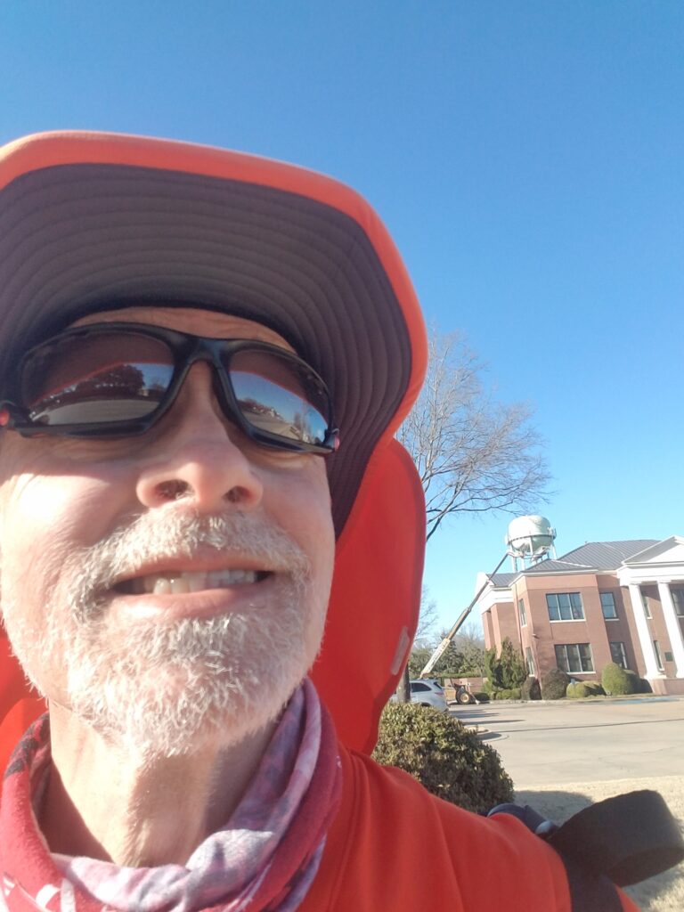
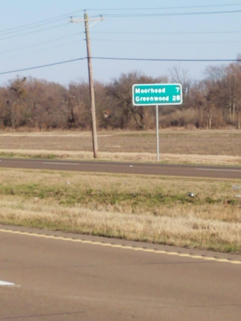
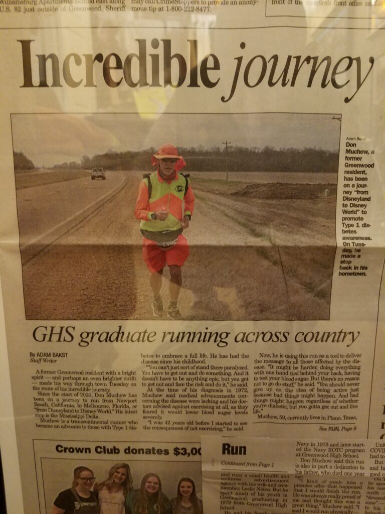
I started again around 7:30 AM, and before long cam across Greenville’s “Welcome ot Greenville” sign. Through Greenville, there was at first a little bit of sidewalk, then narrow shoulder, then I hit the town’s commercial district and was able to run through parking lots of local businesses for the most part until I got to the east side of town, where US-82’s reasonably wide shoulder picked up. At times the shoulder narrowed, but the berm past it was pretty flat and it was good running.
Somewhere just past Greenville I reached the 2000 mile mark. The last time we had celebrated a mile marker had been at mile 1500 in Metcalf Gap, at the intersection of CR-16 and US-180 just west of Palo Pinto TX. That had been before our second DOVID pause (October 18 2020–March 2 2021) and it seemed like so long ago. Now we were down to 845 miles to go!
At around 11 AM I made it to Leland, MS, Muppet creator Jim Hinson’s birthplace and home of the Kermit the Frog Museum. Leland is informally known as the “birthplace of Kermit the Frog.” There’s not that much else to Leland. Once I got past the gas station at the eastern edge of town, I was back out on open road again.
I reached Indianola around 4 PM.
WABG never did call, but Leslie had finally gotten a response from the Greenwood Commonwealth, my home town newspaper, and they sent a reporter out with a camera to get some photos of me running along US-82 outside Indianola, about half an hour before I reached Stinson Road, just past the Big Sunflower River bridge around 4:30 PM.
The bridge basically has no shoulder, so you have to wait for a gap in traffic, which isn’t the easiest thing to do on a major US highway. Eventually I caught one and made it across. But the sun was slowly lowering in the sky.
Leslie and debated getting in another 3 miles to Moorhead, which would have put us at a healthy 33 miles for the day, but it would have put me finishing at 5:20 PM, we still needed dinner, and we had to find our next Air B&B in Cleveland MS half an hour’s drive north before dark, clean it, and get ready for the next day’s run. Since I was hoping to make it to the cemetery before dark the next day, I wanted to start early, and it just didn’t make sense to kill an extra 45 minutes for completeness’s sake and get to bed late.
3/9/2021: Stinson Road / Big Sunflower River, Moorhead MS to Greenwood MS
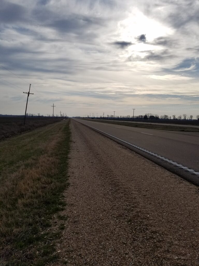
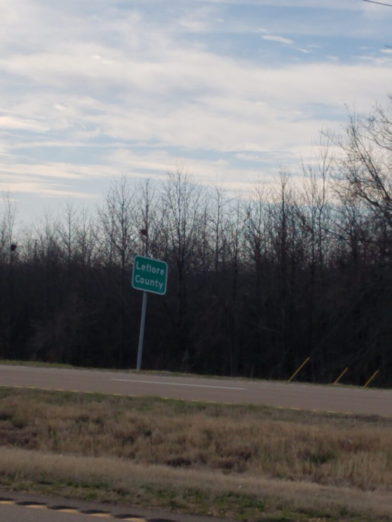
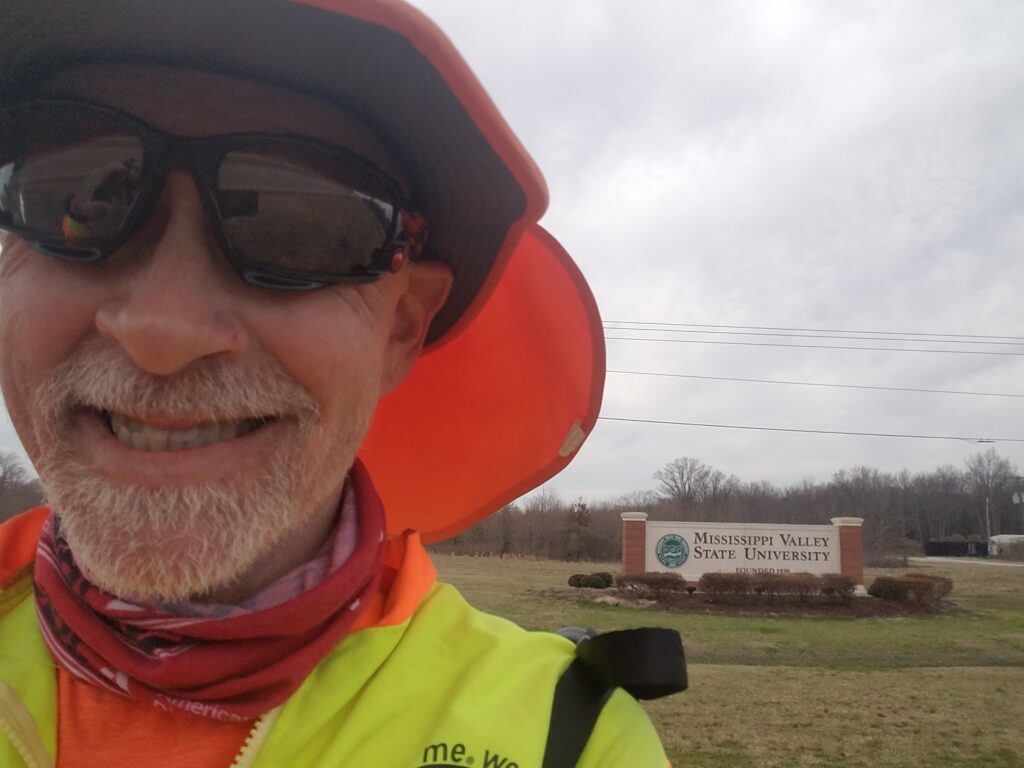
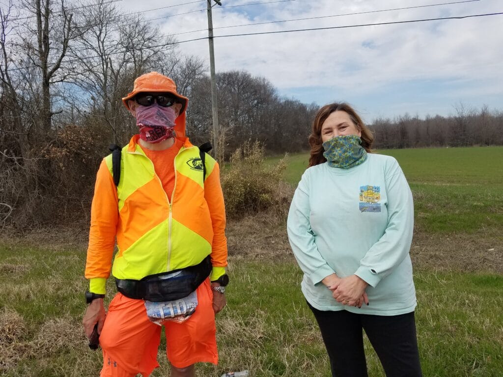
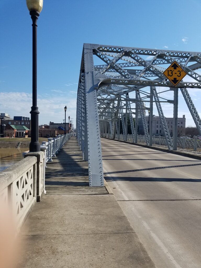
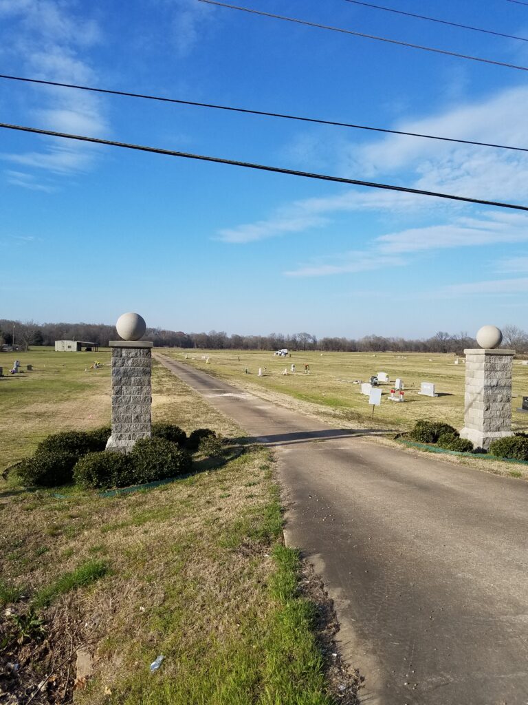
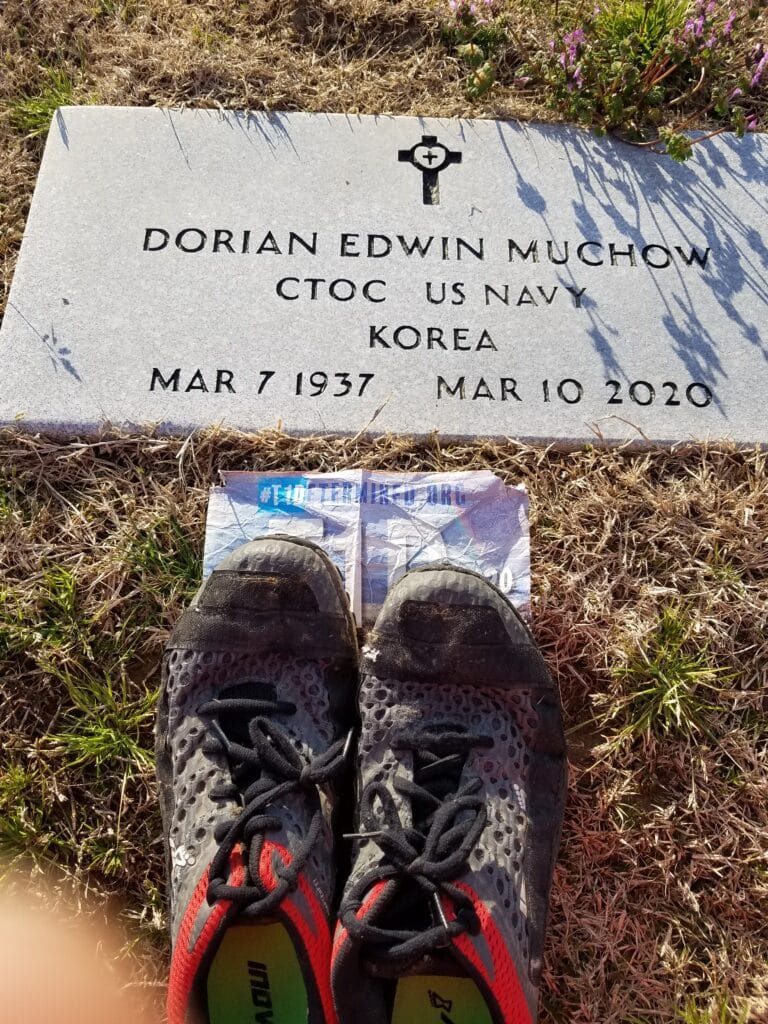
As it was, we got a little bit of a late start anyway. It was 8 AM when I set out, but I felt optimistic about my goal of reaching the cemetery with plenty of time to spare. By my calculations, it was maybe 25 miles. The morning was as I remember many Delta mornings: a little overcast, a little damp, a little cool, perfect weather for hunting or fishing. Ever since leaving Texarkana, getting here had ben my short goal. I kept telling myself that whatever happened after today was gravy. Apart from my dad’s posthumous promise to “see me at the finish line”, there was no timeline I had to meet…yet. The finish line was still a little under 1000 miles away. So when I reached Leflore County about half an hour later, I knew I was in the home stretch for this part of the run, and relaxed a little.
At around 11 AM I reached the campus of Mississippi Valley State University. MVSU is one of America’s HBCUs, or Historically Black Colleges and Universities. It’s known, among other things, for its marching band’s uniforms and on-the-field moves, coordinated like clockwork. While not quite at the level of Grambling’s band, it’s a sign to be seen. Their uniforms are traditionally green and white, and at times they’ve been known to add flourishes to their gear from time to time.
I was running past the campus dressed in my bright orange running shorts, bright yellow and orange SeeMeWear windbreaker and bright orange wide-brimmed boonie hat and Oakleys when a guy in a car rolled down his window and said, “Alright! Valley State!” I think we were both disappointed when I turned around and he saw an old white guy. I guess my one-the-field moves aren’t what they used to be, or the absence of a musical instrument gave it away.
I grabbed a quick lunch in the van–I had started to treat my lunch breaks like only slightly longer fuel breaks, often limiting them to 15 minutes, in order to try to bank some miles–and around 1 PM I was met on the highway by an old high school classmate and good friend Belinda Knox Morrison. Despite the masks, we exchanged hugs and my mood improved considerably. She walked with me for about a mile until the road shoulder got a little questionable, and shad to get back to life anyway.
I continued running into Greenwood. When I got to the “welcome to Greenwood sign”, I had forgotten that the road into town crossed a bridge with no shoulder whatsoever. I hadn’t marked it on my cue sheet, so despite the fact that I had spent my teen years in that town and knew it well, and despite the fact that Leslie and I had scouted the route, the bridge hit me by surprise. I waited for what seemed like forever for a gap in traffic, but US-82 on the west side of town is the main way into town, so it was a long while before the chance came, and even then I had to run like hell to beat approaching traffic.
I made it across the bridge with just a little room to step off over the guardrail. At that point, I was a little confused as to whether I had passed my turn at Claiborne. I paused for a few minutes, trying to figure things out. Then I remembered that I had altered the route on the previous scouting trip to avoid the steep drop-offs on the western end of Claiborne, approaching it instead from the US82-45 bypass before it went over the bridge.
I continued running, bore right at the fork that would have otherwise taken me down Park Boulevard, and made a left just before the bridge to the hospital, onto the residential part of Claiborne. I ran along the levee parallel to the road, as the road itself had little shoulder and could be fairly busy at times. I made it to the old bridge across the Yazoo River and to the downtown area south of the river by 3 PM.
All that was left was to run down Johnson past my old elementary school, past Madison Avenue where I done a good bit of growing up, and to the cemetery.
That part of town has either gone downhill or I remember it more fondly than the reality. Our old house burned down in a fire. My old elementary school has changed names. So much for “going home.”
Google Maps shows the Oddfellows Cemetery as being just past that section of town. It’s not. It’s at least another three miles. In the back of my mind, I think I knew that, but I had managed to explain to myself that during the funeral, I had simply misremembered how far we had to drive to get to the cemetery. In short, I thought I had been making good progress when I arrived at the OLD Oddfellows Cemetery by around 3:30 PM, but I had another 45 minutes to go.
I finally reached the NEW Oddfellows cemetery around 4:20 PM. I had an hour and a half to spare before sunset. I had made it. Gone were my fears of being locked out, arriving after dark, or some other issue occurring. I ran the remaining distance into the cemetery to my dad’s gravesite. Leslie, who had arrived early, pointed out where I needed to go.
At around 4:30 on March 9th, 2021, I said some words privately to Dad. I told him I had kept my promise and would, as he had said, “see [him] at the finish line.”
I left my desert running shoes (the Velcro strips sewn along the top are for attaching sand gaiters) and took off the race bib I had worn until my arrival and put it with the shoes. Leslie went and got a 2 gallon Ziploc from the van and I put them both into the bag so they’d be protected from the elements for a while. As a final gesture, I left one of my four logo running shirts, the one I had intended on giving him when I came through town.
I thought it would be a great weight off my shoulders, but I just knelt there and cried for half an hour.
3/10/2021: Rest day and visit with Mom in Oxford, MS
The next morning as we left our Air B&B, I spotted a lone daffodil growing next to the walkway up to the house. That had some significance for me, because when we returned to Greenwood for my dad’s funeral, Leslie and I had to stop by the house and pick up a suit, dress shirt, dress shoes and socks, and a tie. We were in a desperate hurry to get to Greenwood before the funeral, as at the time, we were over 1800 miles away, a good 36 hours of driving. I peeked between the backyard gate and fence to check on the flowers to see if the sprinklers had managed to keep them alive. There in the bed next to the back fence was a lone daffodil (evidently from the previous owner, because I certainly didn’t plant any).
From the morning of March 10, the first anniversary of his passing, I began to associate Spring and daffodils with my dad. It was the beginning of replacing some of the sadness with feelings of hope, and I think it was healthy for me. I still call them “Dadfodils.”
The visit with my mom went well. After nearly a year away due to COVID precautions, she and I were finally both vaccinated and able to visit. it was great to see her in person, and Leslie and I were able to eat both lunch and dinner at a picnic table outside the building where she lives.
3/11/2021: Greenwood to Kilmichael MS
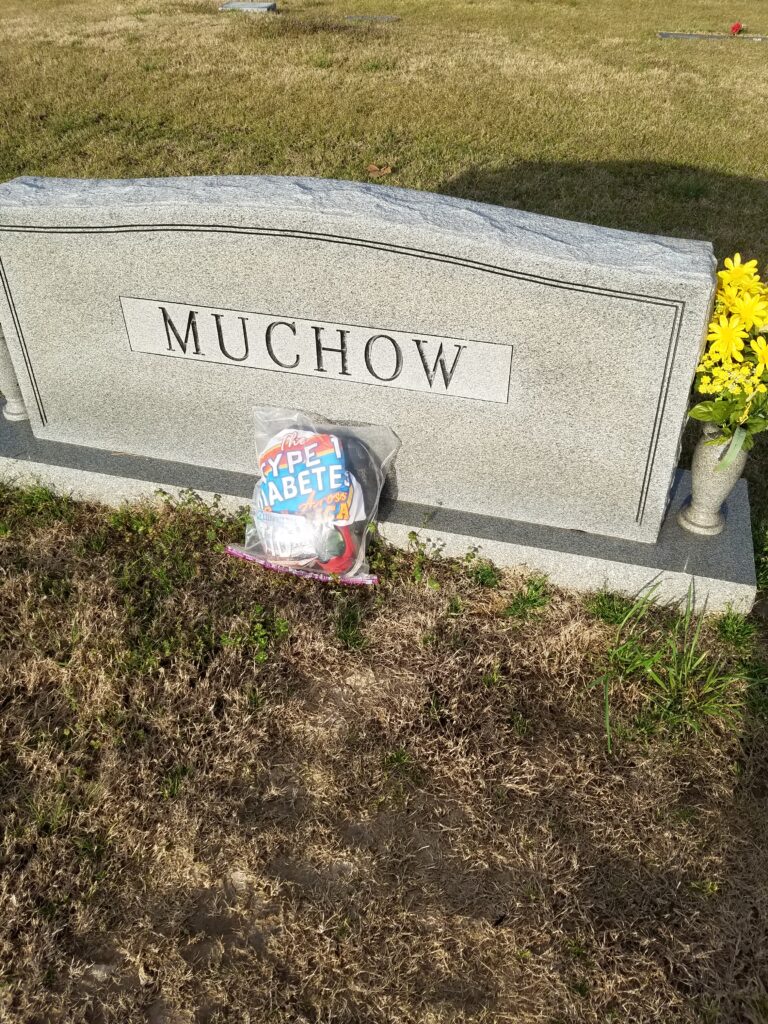
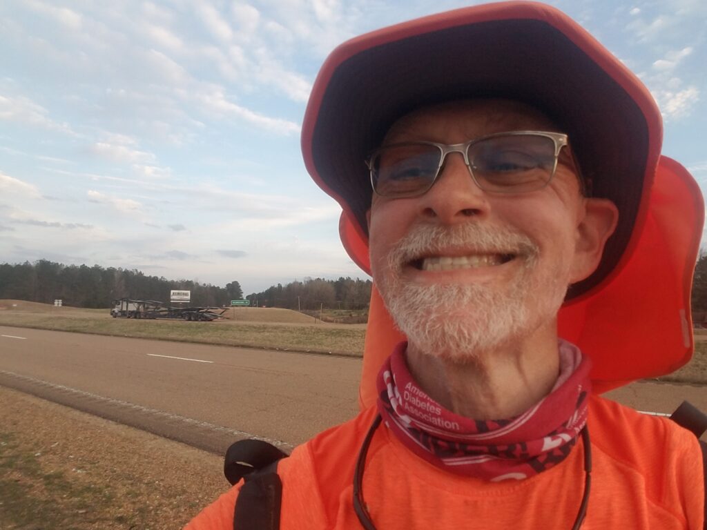
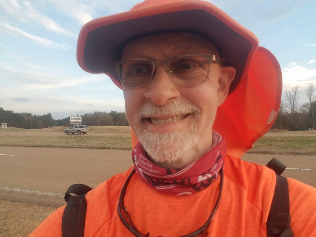
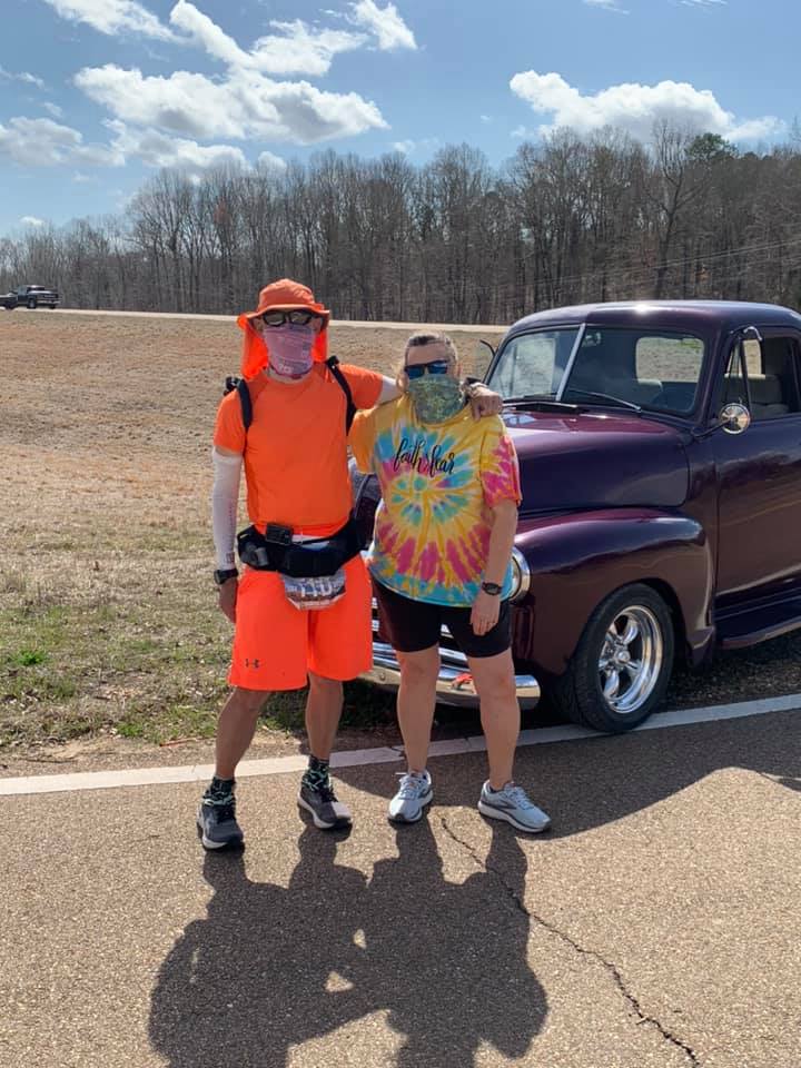
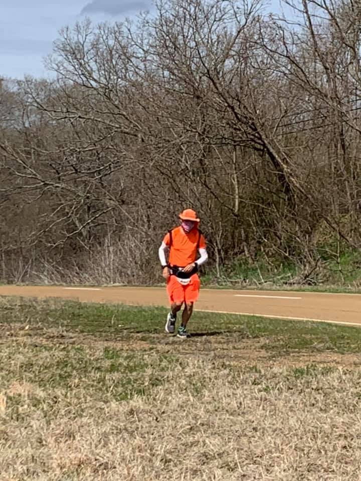
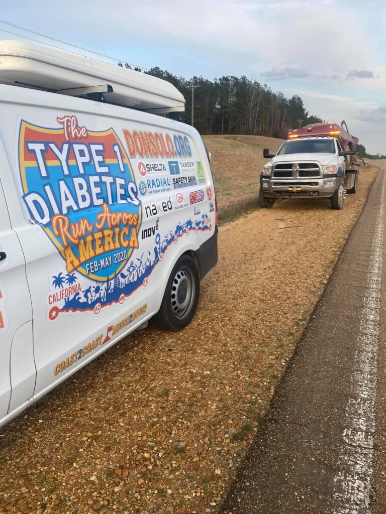
When I returned to the Oddfellows East cemetery just ater 7 AM, someone had taken the shoes, t-shirt, and finisher bib I’d left for my dad and and propped them up against his headstone. There were also some yellow flowers my younger sister had left that I hadn’t noticed before. The fact that it was morning and that someone had stopped by after I left and neatened things up left me in a good mood.
THe going was a little tougher than I had expected. During my route-scouting, I had not taken great care to check out the shoulder, figuring that where it was narrow, I’d move to running on the grassy berm. However, just about all of the shoulder between Greenwood and Winona was soft, tufted mounds of earth out of which grass grew kind of loosely. It was some of the most technical terrain I had seen during my run. Even outside Palm Springs, there was a sort of technique to running in shifting desert sand. By contrast, this terrain presented random chances to roll an ankle or step into a hole in the ground. And the berm was very sharply cambered (slanted sideways). I took to walking the berm when traffic was coming, but at times it disappeared and I had no choice but to run in the grassy median. It was no less cambered or grassy, but at least the slop wasn’t as bad. But it was hilly, and had trees in places that made it difficult for anyone in a van to tell whether I had slipped and fallen.
We had looked at backroads. They weren’t any better, and they just made the route longer.
Somewhere around lunchtime I began to notice areas to the side of the road where large numbers of trees had been cut down and stacked into piles for logging trucks.
Finally, around 3 PM I started to see signs for Kilmichael. There wasn’t much to Kilmichael but a gas station with questionable hours, but it was a welcome relief from running on US-82, and the fact that it had anything of note meant that it would be a good stopping point for the day.
Somewhere in the next 10 miles, I ran into Belinda Knox Morrison again and her husband’s purple retro pickup truck. She came dressed to run, but I told her about my experiences with the uneven terrain and camber, and we both thought better of it and decided to chat a little while instead. The fact that Belinda came out twice during my run to spend some time meant a lot. to me.
While I was out knocking down the miles, a guy in a tow truck stopped to make sure our stopped van on the side of the road wasn’t in need of rescue. As usual, Leslie shared our story, the tow truck driver had his own related stories to share, and they became instant friends.
It’s a small world (after all).
I stopped running about half an hour before sunset and Leslie and I made our way to our Air B&B in Starkville, MS, where I did an interview with the Adventurers Club of Los Angeles.
3/12/2021: Kilmichael to Mathiston MS
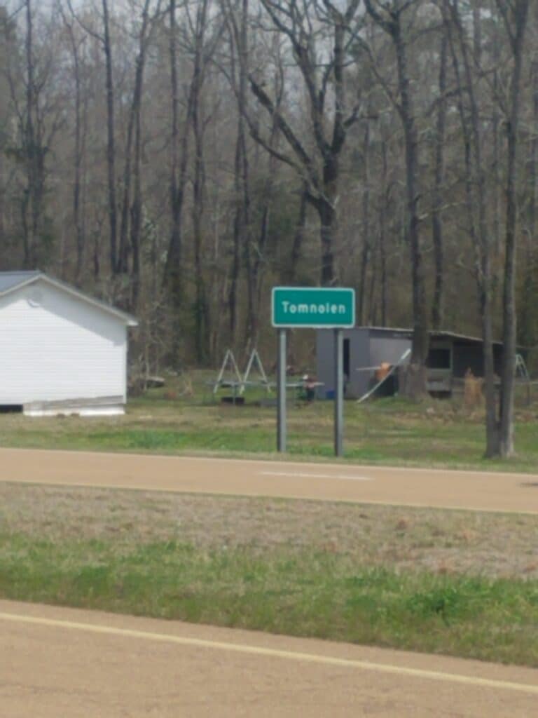
I resumed running in Kilmichael a little late, around 7:45 AM, largely because of our 45-minute drive from Starkville and the fact that the Adventurers’ Club interview ran a bit late into the night and I wanted more sleep.
At around lunchtime, we entered the tiny town of Tomnolen. I took a picture not just to mark our progress, but because I’m always a little amused to see anything with Leslie’s last name in it. Nobody in her family was ever named Tom, and we wondered how distantly related the town’s namesake must have been, if at all.
By mid-afternoon, we reached Eupora. While I didn’t take any pictures, I distinctly remember trying to follow the instructions from the cue sheet I had so carefully laid out for Leslie, only to realize that as the runner I couldn’t easily cross over to her side of the road. Once I figured that part out, things made more sense, I scribbled a note to myself to change the cues for anyone who used the route after me (this happened a fair bit, mostly in minor, non-confusing ways that typically involved a change in ownership of a gas station), and I picked up the pace past the overpass at the southern edge of town.
The road shoulder had improved distinctly since Winona, and by the time we reached the Shell station just past the Natchez Trace Parkway, I was starting to enjoy running the road again.
3/13/2021: Mathiston to Mayhew MS (east of Starkville)
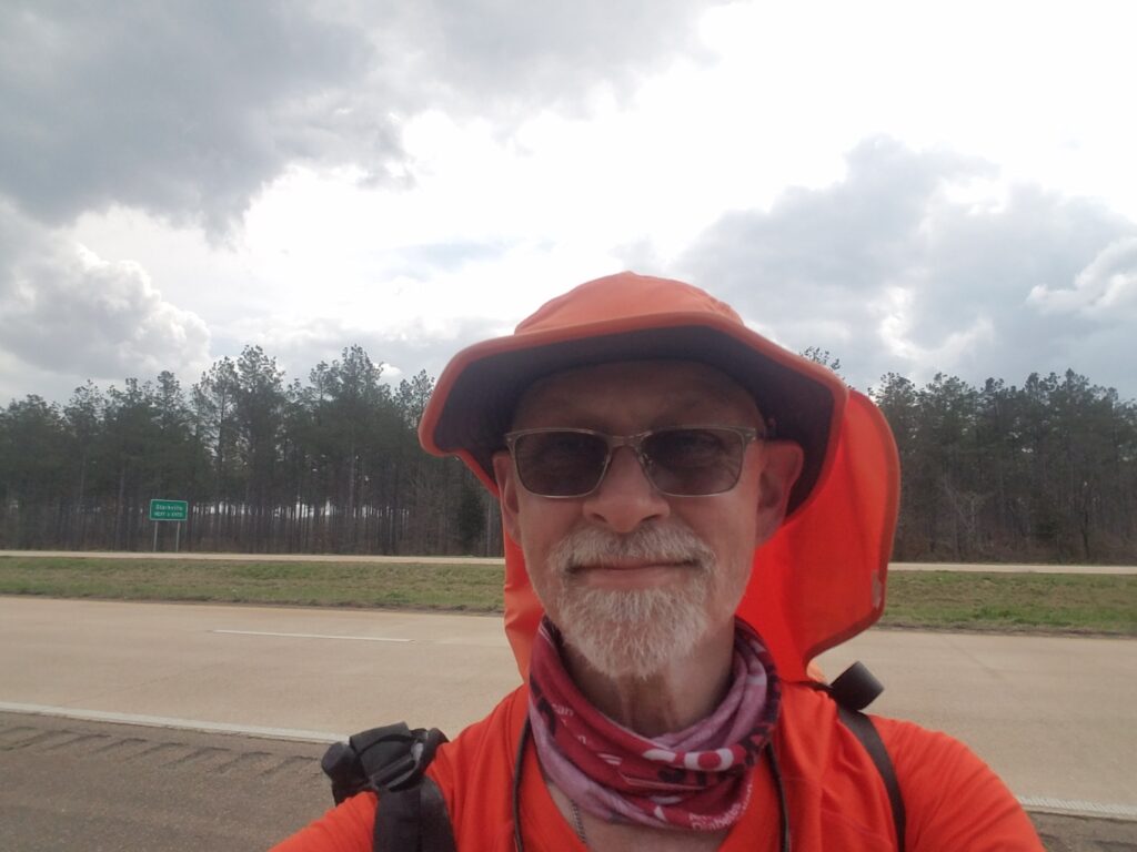
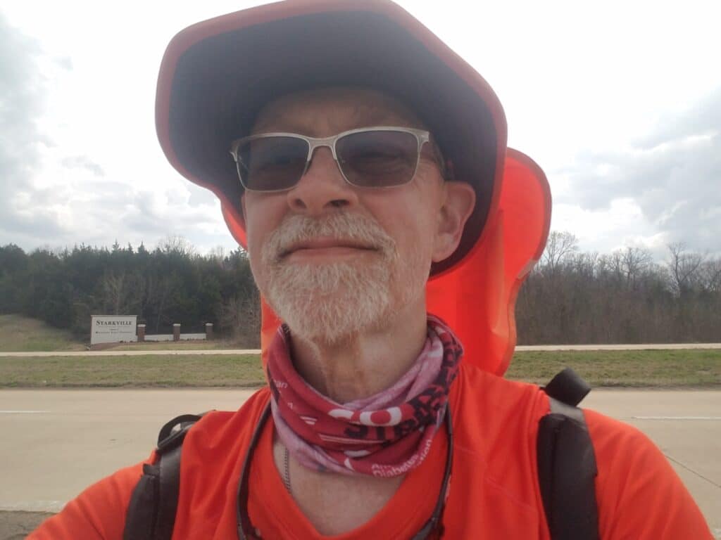
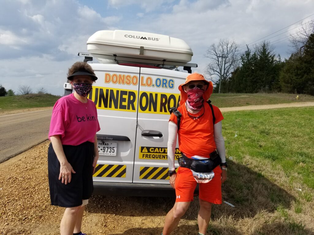
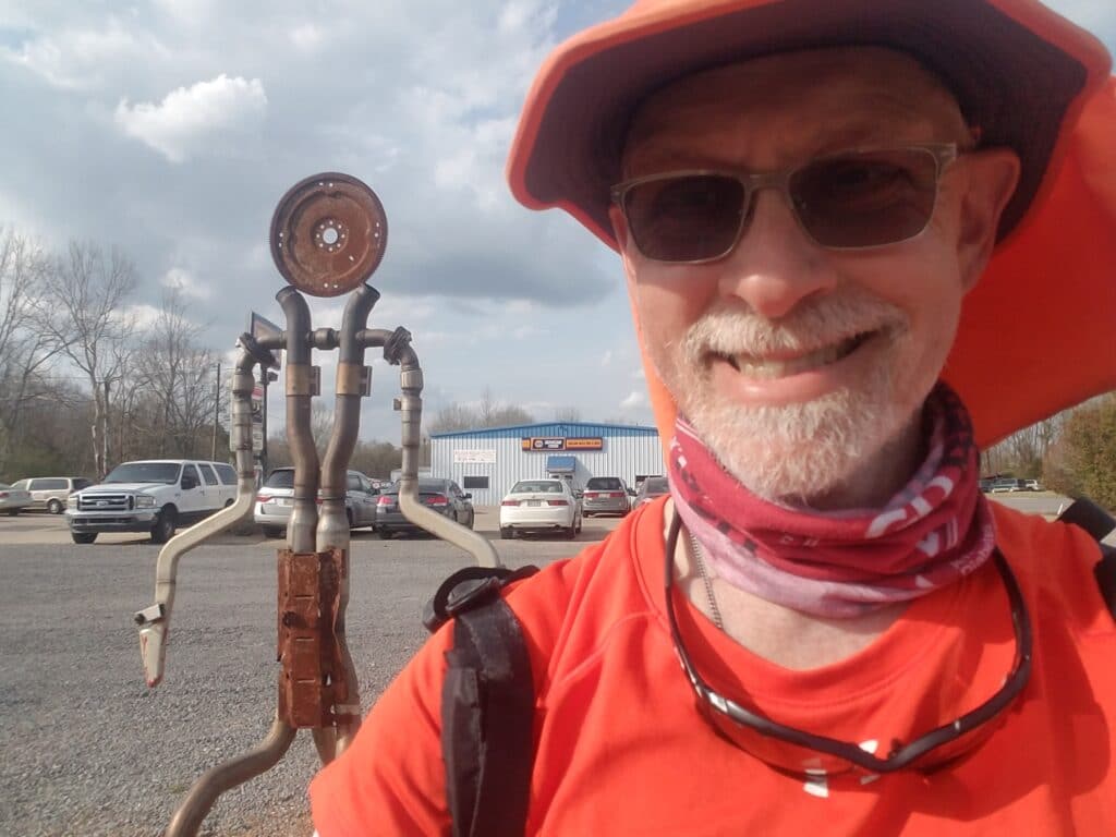
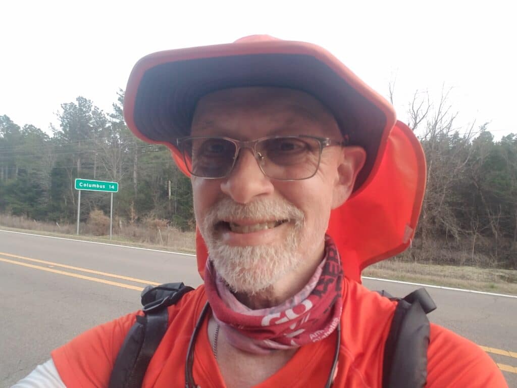
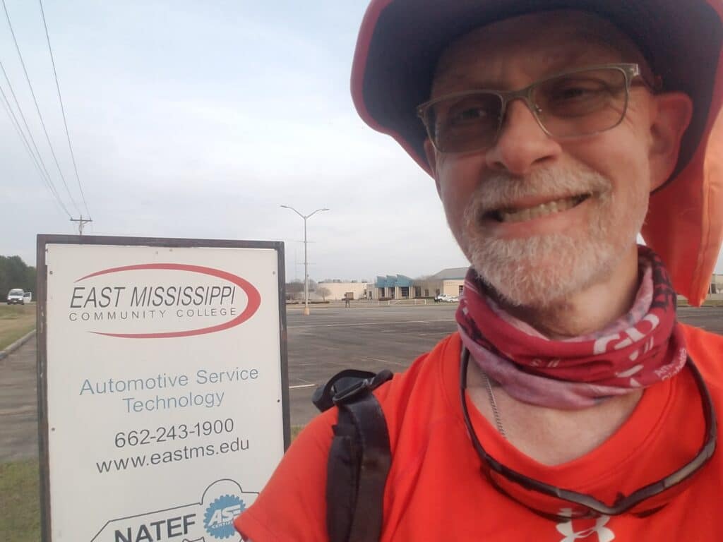
The Shell station at Mathiston was about all of the town, if there was any more, that we got see. I resumed running about quarter after 7 AM, and alreayd I could tell that the sun was coming up earlier every day. The sun was higher in the sky and I no longer felt the early morning chill for as long.
I began to note the passage of days by when I had to take off my windbreaker and gloves. When we resumed the run back on March 2nd, 2021, I had kept them on past lunch. Now, I was taking them off closer to 9:30 AM.
The road out of Mathiston was nothing to speak of. It seemed like forever until we reached Starkville a little after lunch. I had just scored a hit of strong Porta-Potty juju and turned onto Jackson Boulevard heading into town when Leslie and I encountered another stopped vehicle, which we had begun to associate with the arrival of a friend. It was Margaret Sims Gilmer, a high school classmate of mine who has faced a serious battle with cancer. She had injured her knee somehow but the bandage wasn’t sticking. While Leslie tended to the dressing on her knee, Margaret and I talked about resilience and the will to keep going. She kept saying how much she admired what I was doing, and I kept thinking about how much more resilience and will to live she had.
I made it through Starkville, got a little lost at the turn onto MS-12, and headed toward Clayton Village. I snapped a quick photo next to some auto repair place that had built a mascot out of spare parts.
The road shoulder all but gave out as I continued running onto Old Highway 82, which took the most direct and less trafficked route toward Columbus. But the traffic was actually horrible. Starkville is a college town, school was in session, and there was a constant stream of vehicles on the two-lane road. I spent a lot of my time running in the weeds at the side of the road or trying to find a level path along the edge of the adjoining properties. The narrow road seemed to go on and On and ON.
I made very slow progress, but finally, around 5:30 PM, with the sun getting ready to setI reached the Community College and vocational-technical complex that seemed to define Mayhew. At that point, I was pretty sick of Old Highway 82. Plus, we had to set our watches and the car clock forward an hour, which meant I had one less hour to get ready for the following morning.
Despite the fact that it was only a 30.5ish mile day, I was pretty ready to pack it in for the day when we got to Mayhew.
3/14/2021: Mayhew MS to Ethelsville AL
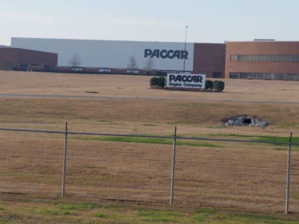
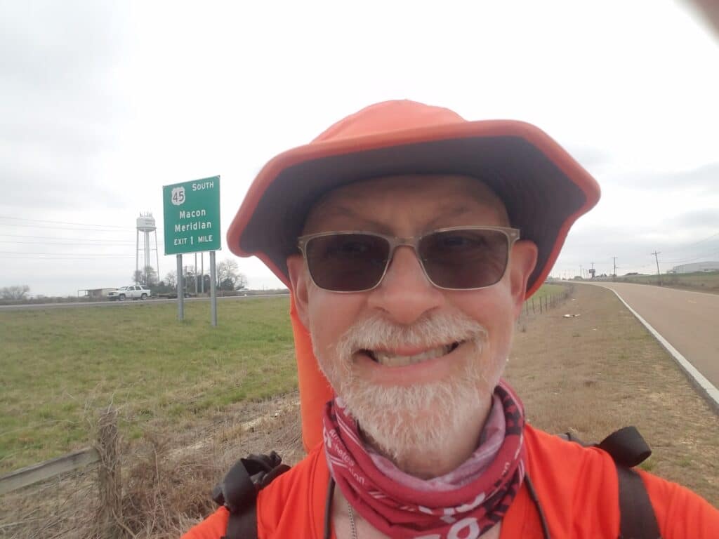
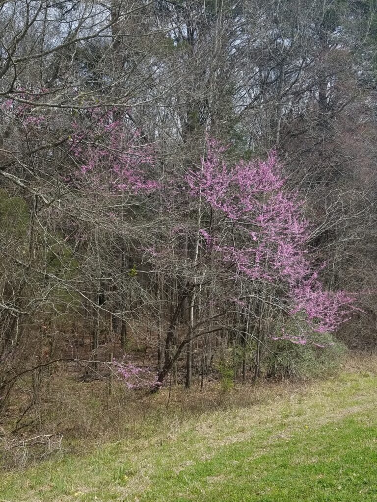
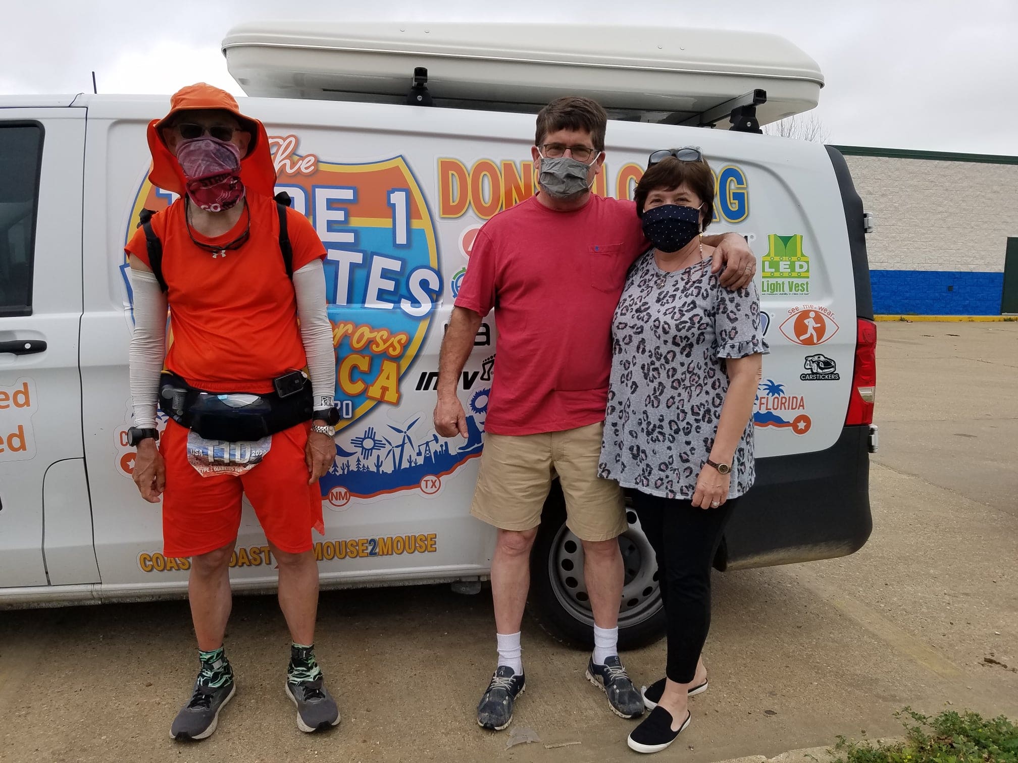
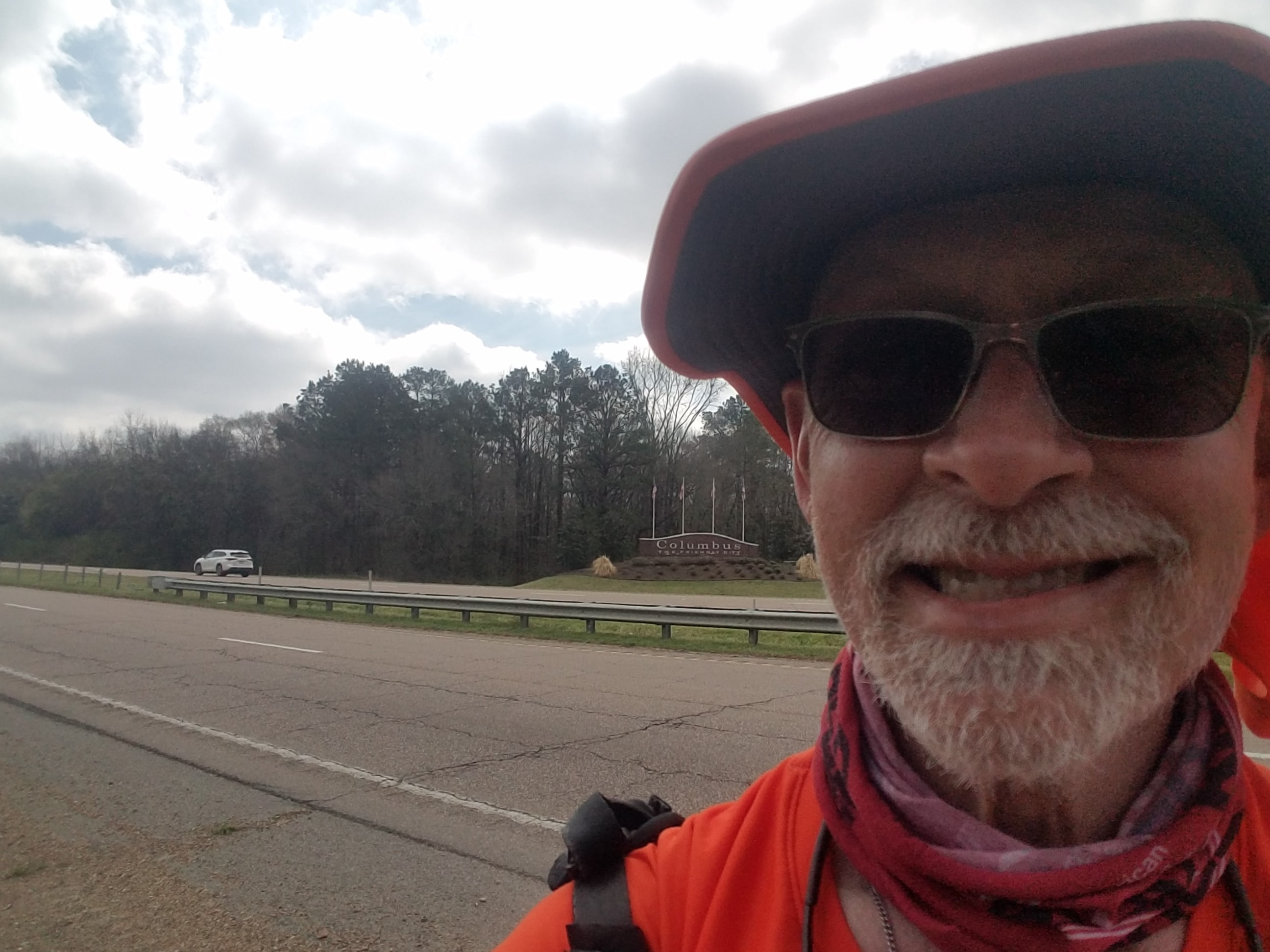
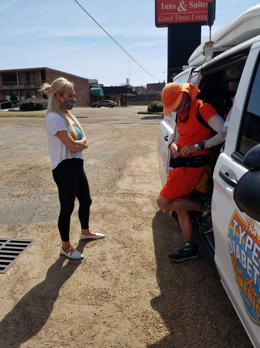
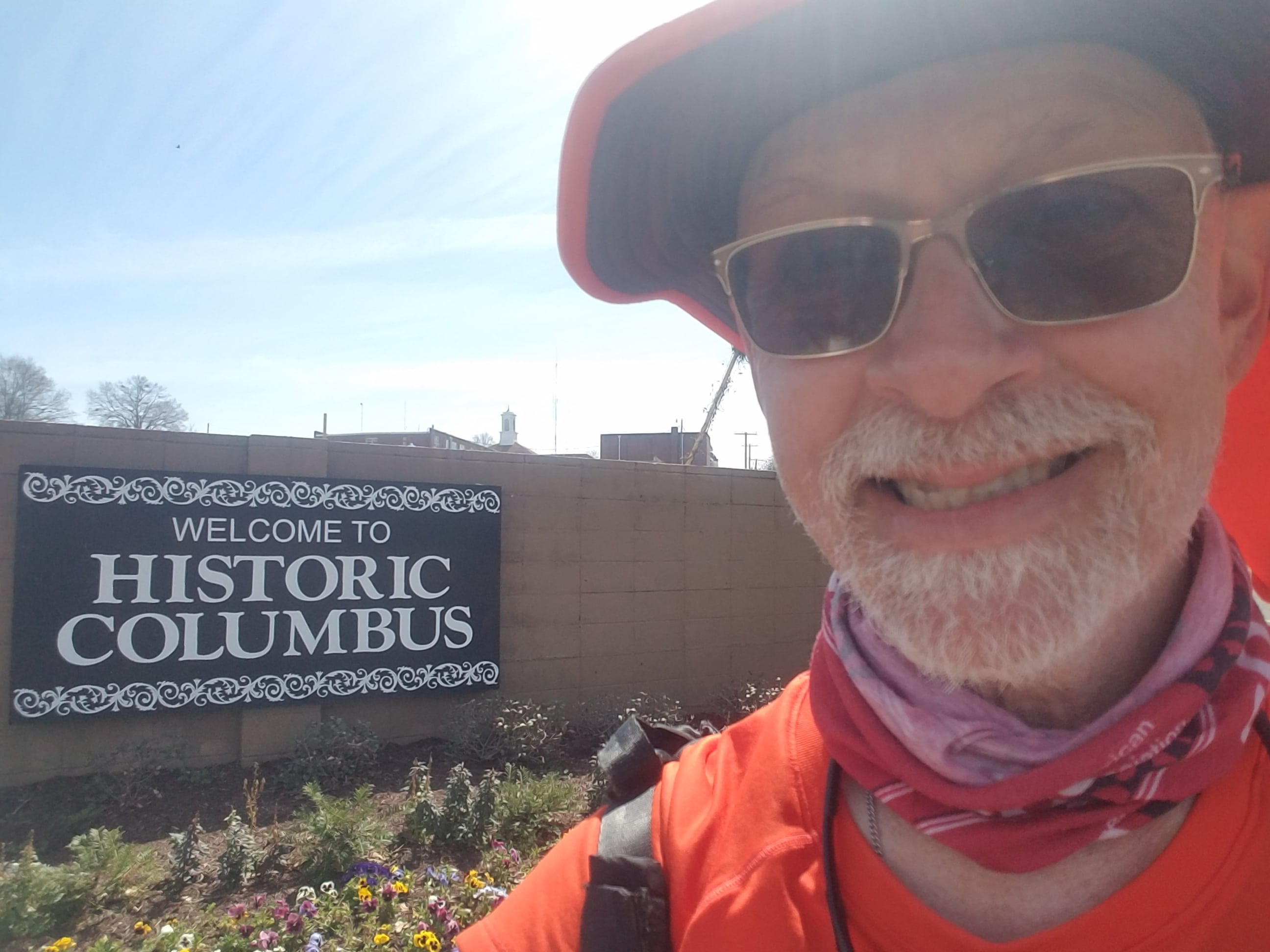
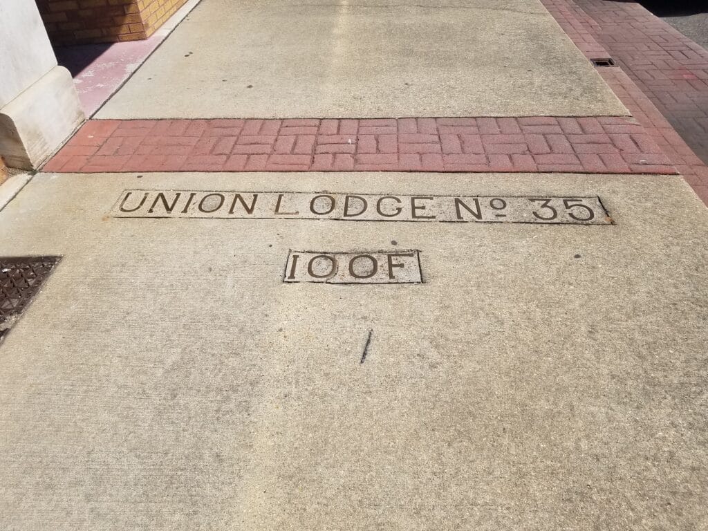
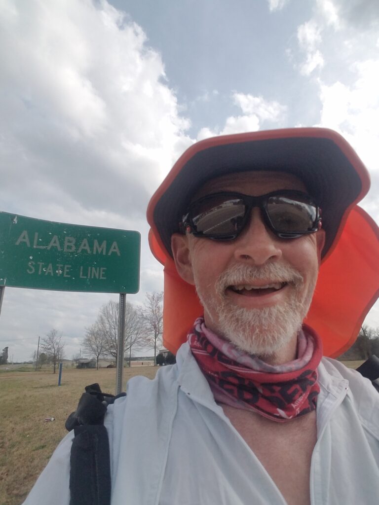
I resumed running at the community college around 7:30 AM. With the clocks set forward, it felt weird and kind o gloomy with the sun being lower in the sky and barely over the horizon. It was a little cold and humid to start, and I wasn’t expecting the day to improve. The small bump in my spirits came about an hour later when I passed a large building labeled PACCAR, the company my swim training buddy worked for. I took a picture and sent it to him, in part to let him know I appreciated him following the run. Except I left off the attachment, and the email said simply, “thinking of you.” Now, that was sweet and all, but it kind of failed on the “bro” test and might have crossed some personal boundaries. What was worse, that evening when I went to show Leslie the email I had sent, that was when I discovered my mistake. Scott had had a whole day to think about how much I missed him.
I resolved to run in a more macho way the next day.
Just before 10 AM, I reached the intersection with US-45E, which meant that I wasn’t far from the complex series of highway crossings and turns heading into Columbus. I began to notice numerous purple and white flowering bushes along the side of the highway. It made me wonder if they had all just bloomed, or I had not noticed them before, or was I entering a region of the country with different kinds of plants.
Somewhere around lunchtime, we stopped at the Chevron at Bluff Access Road, which was where I was to get off Highway 182 and turn north to cross highway 82 so I could be facing traffic heading over the bridge into Columbus. After that, in order to avoid a series of snarly highway overpasses, I needed to go cross the bridge, exit immediately, and go through a residential neighborhood to reach the mall access road that would take me under the busy highway, through Columbus’s historic downtown, and onto a quieter setion of US-82.
We were expecting to meet a guy from the TV station in Columbus, MS, somewhere on the road, and the Chevron was our last chance before it would get hard to catch up with me and park anywhere safely. Leslie and I waited, and he arrived within minutes. We did the interview, ate a quick snack, and moments after he left, two more of my high school buddies, Hunter and Andrea Naaman Steele, met us at the gas station and chatted for a while.
Around 11:30 AM I reached the outskirts of Columbus. Leslie and I pulled into a relatively empty parking lot for a quick lunch and were approached by a young woman named Evie Vidrine, who had a very interesting story: she had been diagnosed mere months before with type 1 diabetes after an initial COVID diagnosis and recovery.
It’s not that uncommon for autoimmune diseases like type 1 diabetes, Crohn’s, rheumatoid arthritis, Sjogren’s, Hashimoto’s, celiac, and MS to show up after periods of significant stress on the body’s immune system. When I was diagnosed, I had just been getting over a severe case of influenza. Some ultra runners have been diagnosed after pushing the limits on one race or another, to the point where muscle protein breaks down and presumably the body no longer recognizes it as native and confuses it with an invader.
We talked about type 1 for a while, Leslie and I wished her luck, I finished my lunch, and I was off again.
Around 1 PM, I reached Columbus’s historic downtown, still wondering how many other people had been diagnosed with type 1 after COVID.
Just after I reached the turn onto Main Street, I spotted an Oddfellows logo in the sidewalk. It made me think of my dad, but this time there was little sadness: just the memory of things that had been important to him and places where he had made a difference.
Columbus eventually petered out, as the towns always do, and just before 4 PM I reached the Alabama state line. Unlike Mississippi’s, it looked like someone had taken to it with a shotgun.
I ran a few more miles down the road, past the last paved intersection before my turn down a paved-then-gravel-then-dirt road that would take me back to US-82. The road was quiet except for another runner headed in the opposite direction. Nevertheless, it gave me some comfort that I wasn’t the only runner out there in the middle of nowhere.
The road became canopied by a thicket of trees, and at first, it was calming, a welcome break from the buzz of traffic I seemed to encounter even on lonely country roads. Ahead, there was a fork in the road, and as had been the case before, instructions I had written myself during scouting the route were now unclear. I called Leslie and asked her to check the live GPS tracker and tell me which fork to take, but I was actually a little nervous I had taken the wrong one already. It was getting to be late afternoon, I felt like I had chatted too long with the lady who had gotten type 1 after COVID, and my mind hadn’t adjusted to the idea that the sun would be up an hour later than usual. I felt like at any moment I’d end up in a dark forest with a low cell phone battery, a variety of one of the recurring nightmares I’d had after my run across Texas.
One has to have been out in the middle of nowhere long enough and frequently enough to understand, but you can be a mere 200 feet from the right place, and if you don’t see it, it might as well be a mile off course. As usual, I wasn’t off course, and I wasn’t far from the meetup with the van at the merge, and the sun was in fact still out and shining everywhere except that short stretch of densely treed road.
Either way, I was glad to be out of the woods.
3/15/2021: Ethelsville to Tuscaloosa AL
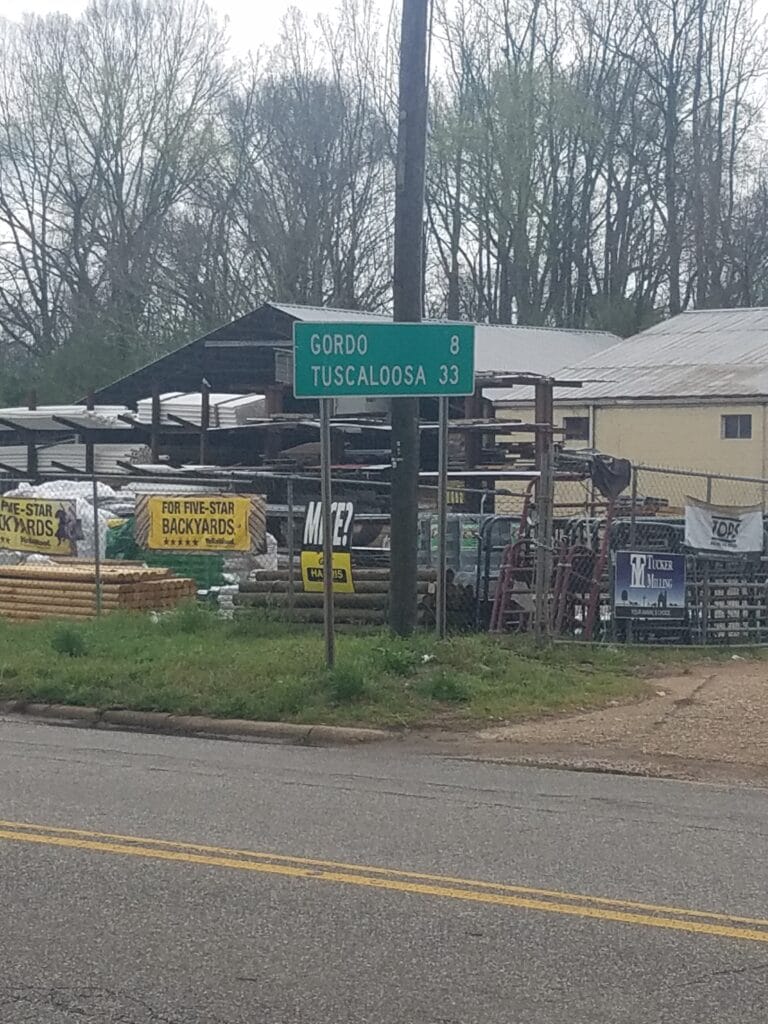
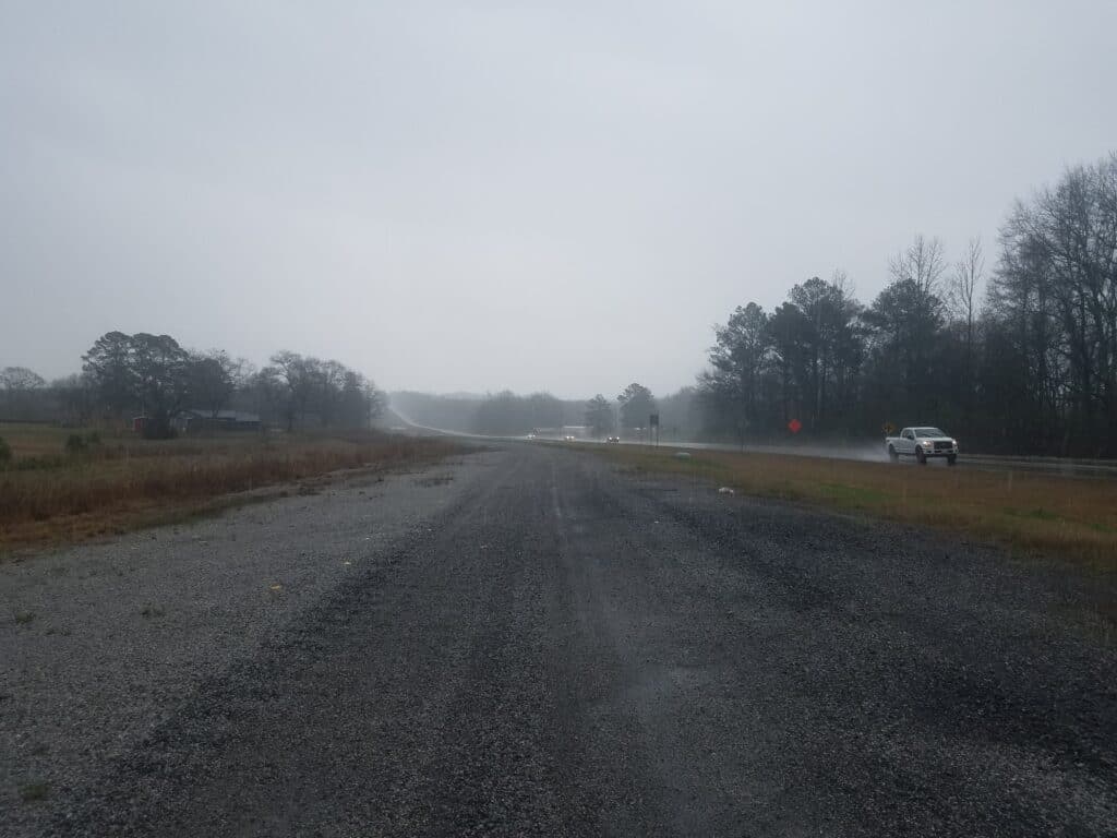
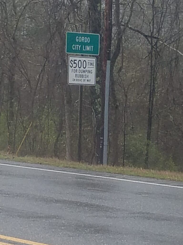
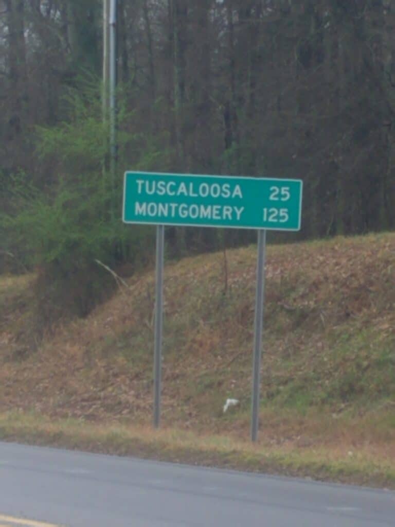
I resumed running at the merge and began one of the most miserable running days I’ve had in recent history. Leslie and I had been watching the weather, hoping to avoid rain. There were reports of a storm behind us heading east in the direction of Tuscaloosa. In the morning, it looked like we might avoid it, and I chose to wear my SeeMeWear windbreaker because it was the most visible in the cloudy, misty conditions we encountered.
In Reform, Alabama I was accosted by a man who asked where I was running and why. I told him about the Type 1 Diabetes Run Across America and the challenges that people like me face when trying to balance exercise and blood sugar management. He responded that I “just shouldn’t eat so damn much.” That ticked me off. Then he asked if I had a gun. I told him no, but I had a live GPS tracker and my wife had a gun. He decided he had given me enough advice, and I returned to running. But it made me think that my goal of getting people to understand that it wasn’t as easy as that, and that I’d still be diabetic at the finish line, wasn’t so poorly chosen.
I kept seeing signs indicating that Tuscaloosa was getting closer, but I also began to notice the sky was darkening. Around 1 PM, as I reached Gordo, the bottom fell out. I was lucky to find a gravel road for a short distance that ran parallel to the highway; from the looks of it, they were widening US-82, which was a good thing. But once the gravel ran out, I was nakle-deep in soaking grass and mud. The tape Leslie had put on my eet to help prevent blisters was coming off. The rain was so intense that I stopped my tracker and both GPS watches and was getting ready to pack it in for the day. We sat in the van and looked at the forecast. Everything we looked at said that the rain would blow through after a little while, so we waited it out.
After a little while, the rain subsided to a drizzle and I felt I could continue running in it. But I did not enjoy it.
Conditions didn’t improve much, and while I could stand the rain, visibility was down considerably. The forecasts for Tuscaloosa predicted not only more rain coming, but severe thunderstorms and a significant risk of tornadoes. We both agreed to call short mileage on the day at 29 miles, at Buhl Cutoff Road, the only road we could find anywhere close to where I was running.
Then we got ready for one, maybe two, “weather” days.
3/16/2021-3/17/2021: Weather delays
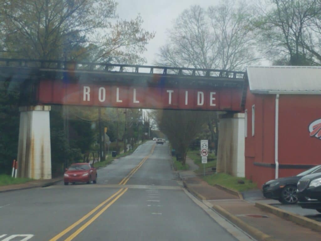
For the next two days in Tuscaloosa, I rested with my feet elevated and ate as much protein as I could stand; but my mind was on our gradually slipping finish time and vague promises I had made to both my brother and my bio-dad about when we’d be at Disney World. If we took our planned rest days in Montgomery and Walt Disney World, we’d be two days behind, and I’d miss meeting my brother at Disney by at least a day, even if we tried to visit the park after meeting him instead of when we met him.
Leslie and I decided to cut the Montgomery and Disney World rest days and take our next scheduled rest day in Tallahassee. That would put us only one day behind schedule. There was no way I’d make it from Tuscaloosa to the Florida coast without another rest day.
Meanwhile, we did our best to schedule a curbside pickup order at Wal-Mart to restock the van.
3/18/2021: Tuscaloosa to Harmon Heights / Centreville AL
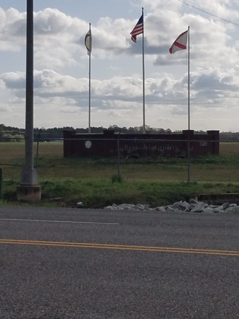
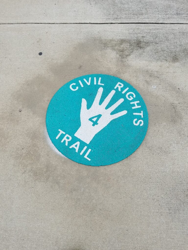
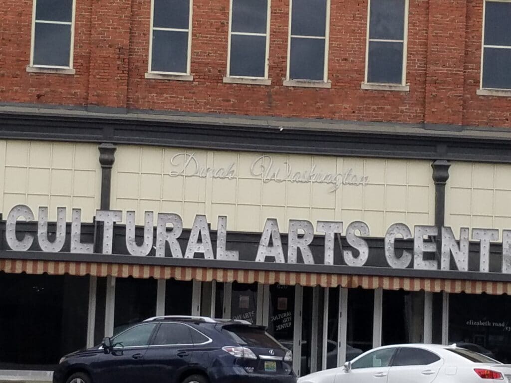
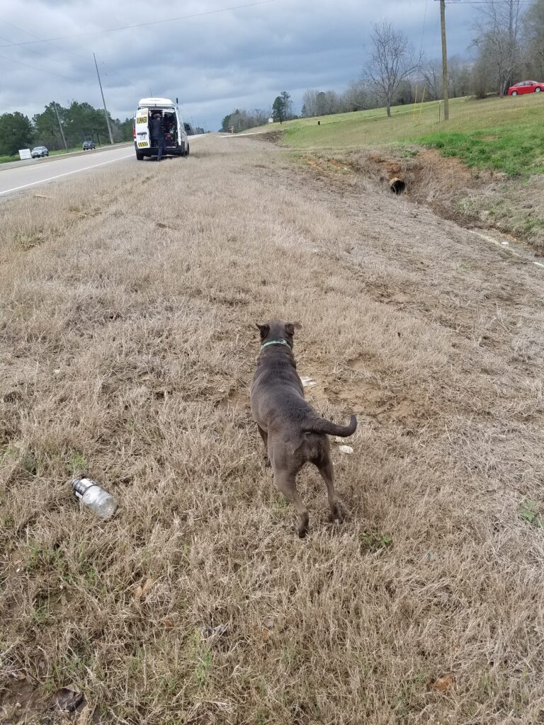
Buhl Cutoff Road wasn’t exactly where I had wanted to stop two days before, and it was achingly close to Northport, the Tuscaloosa suburb I had hoped to reach. But now the day was merely cloudy, not threatening storms, and the cool, crisp air was refreshing, if not a bit humid.
We decided to try to take advantage of the earlier sunrise and get started at around 6:45 AM, hoping to make some extra miles. After a little over two hours and very nearly missing my turn at a road that I should have recognized on sight, I reached the Tuscaloosa Regional Airport, whose access road sort of sneaks around the back side of Tuscaloosa past a park with “the oldest cast iron bridge in Alabama”, turns onto/into 5th Street, and goes into downtown. That “Roll Ride” railroad bridge was 2 houses from our Air B&B, a wonderful 100-year-old structure with wood floors and high ceilings that would put modern home construction to shame.
From 5th Street, I turned onto the sidewalk heading over the city’s only pedestrian-safe bridge into downtown, along the route of the Civil Rights Trail, past the Dinah Washington Cultural Arts Center, where I arrived around 10:30 AM. For those of you who’ve never heard or heard of Dinah Washington, way before Aretha Franklin, she was known as the Queen of the Blues. She had a fantastic vocal range, a feverish energy, and wow! Could she sing the blues! Listen to her recording of “A Stranger on This Earth” and prove to me I’m wrong.
Leslie caught up with me for lunch at a church parking lot not far south of the cultural center and I enjoyed a nice, hot burger with renewed appreciation for what a good day looks like.
Around 3 o’clock that afternoon, just outside Duncanville, I was approached by a fast-running dog I thought was going to have a go at me. As usual, I took off my orange hat and got ready to wave my arms and shout. But when the dog got to me, she stopped and rolled over on her back for belly rubs, then back into a sitting position for ear scritching. She was also very fascinated with Leslie and the van. After reassurance that the dog was indeed friendly, Leslie shared some doggy treats we had brought just for that purpose.
Who’s a good doggy? You are, Duncan! Yesh you are! (And yeah, I know that’s a boy dog’s name…so sue me.)
It was about 6 PM when I reached Harmon Heights, and as much as I wanted to run into the heart of Centreville, a 36-mile day was enough for me, and I counted my blessings.
3/19/2021: Harmon Heights / Centreville to Maplesville AL
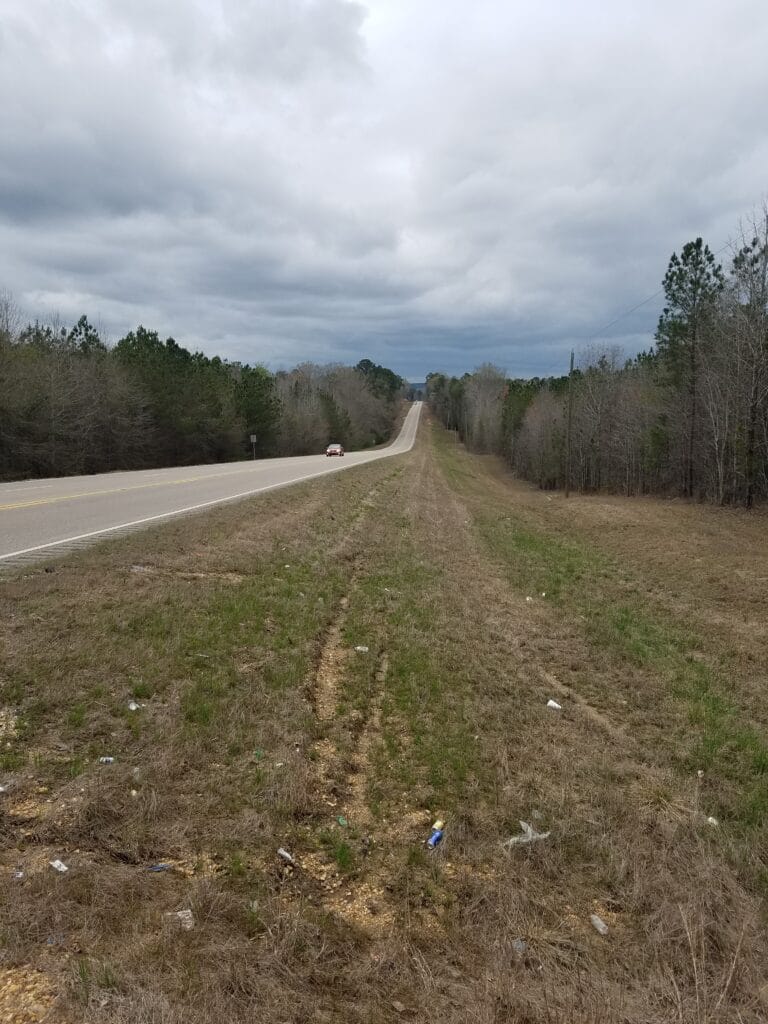
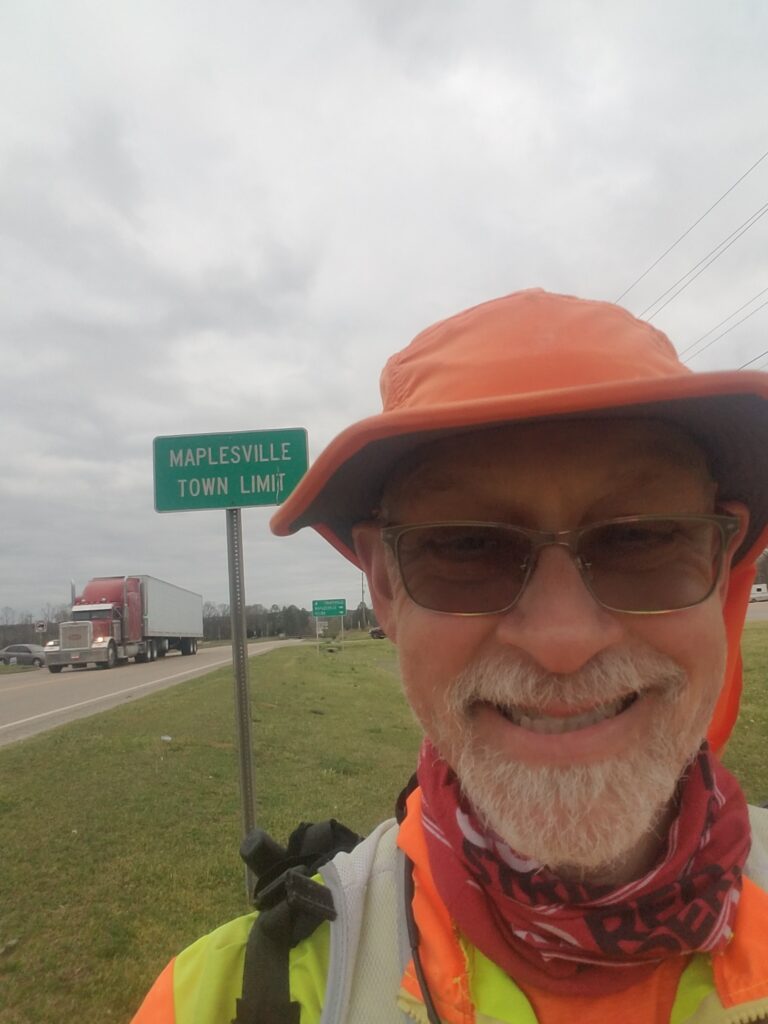
I picked up again in Harmon Heights at 7:30 AM, thinking I didn’t have another 36 mile day in me today. I had been running a little slow the previous day, as I often do when the daily miles stretch out a bit and I’ve already got a few days under me. And indeed it was a bit of a slow day.
I reached the Eoline Fire Department about an hour later, barely out of Harmon Heights and technically not even quite to Centreville. The roads seemed to be getting hilly. I had never noticed it during our route scouting, but someone pointed out afterwards that the section of Alabama I was running through was the foothills of the Appalachians, and that this wasn’t even the worst of it.
Some time around 6 PM, I reached Maplesville AL and called it a day after 32 miles. I decided I didn’t like hilly Alabama roads, especially the ones with narrow, sloped shoulders, and I just wanted to lie down and eat something.
3/20/2021: Maplesville to Prattville AL
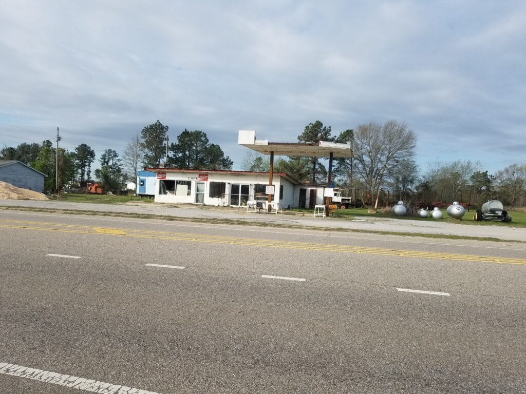
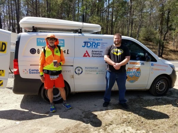
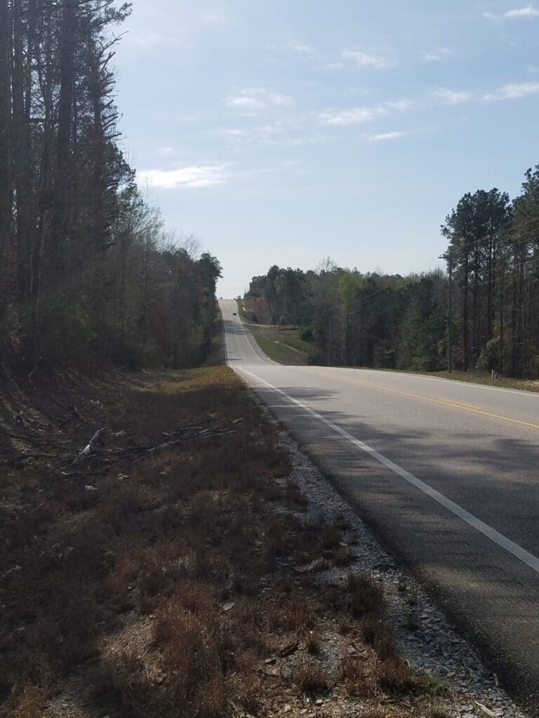
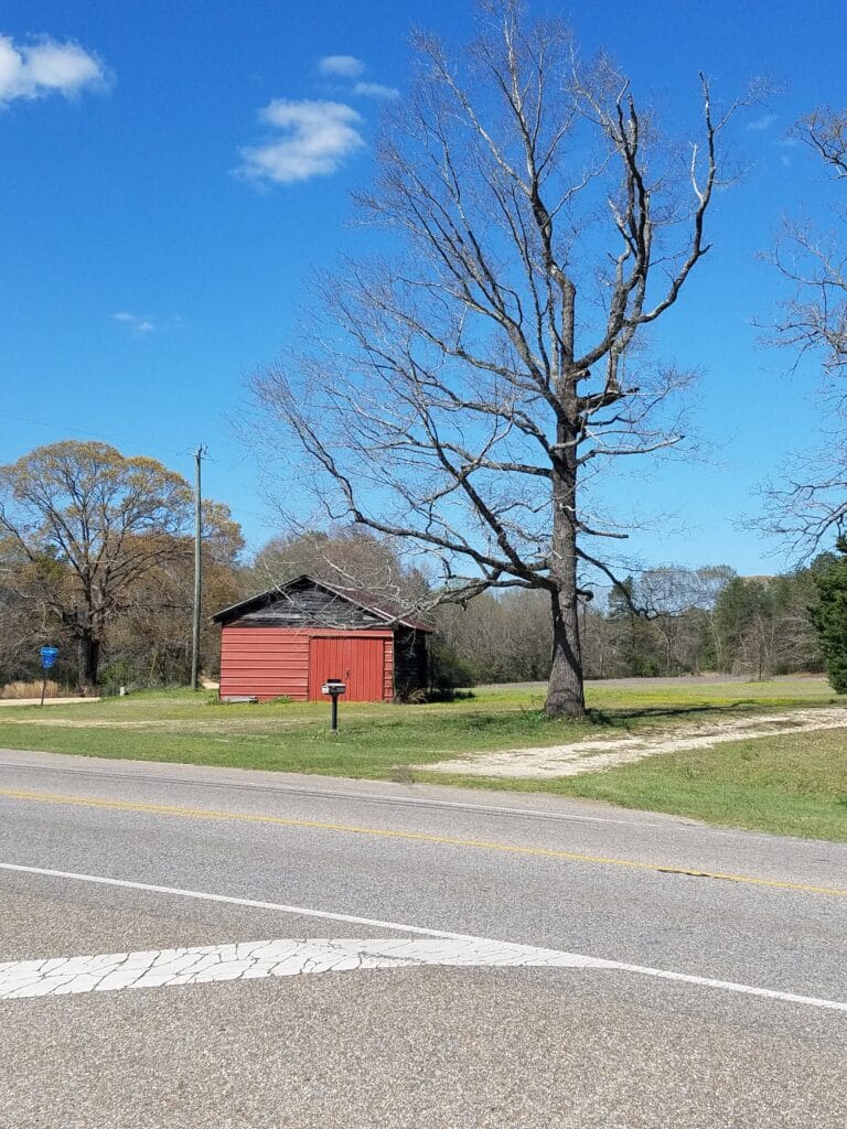
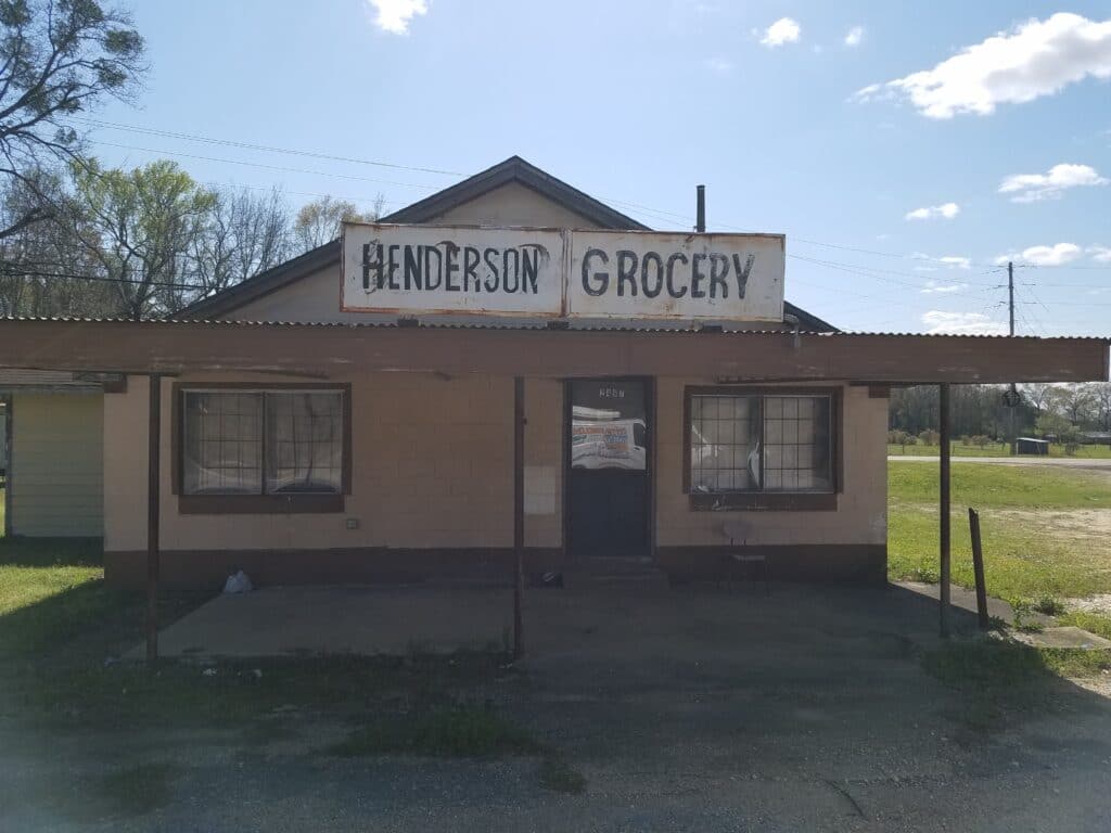
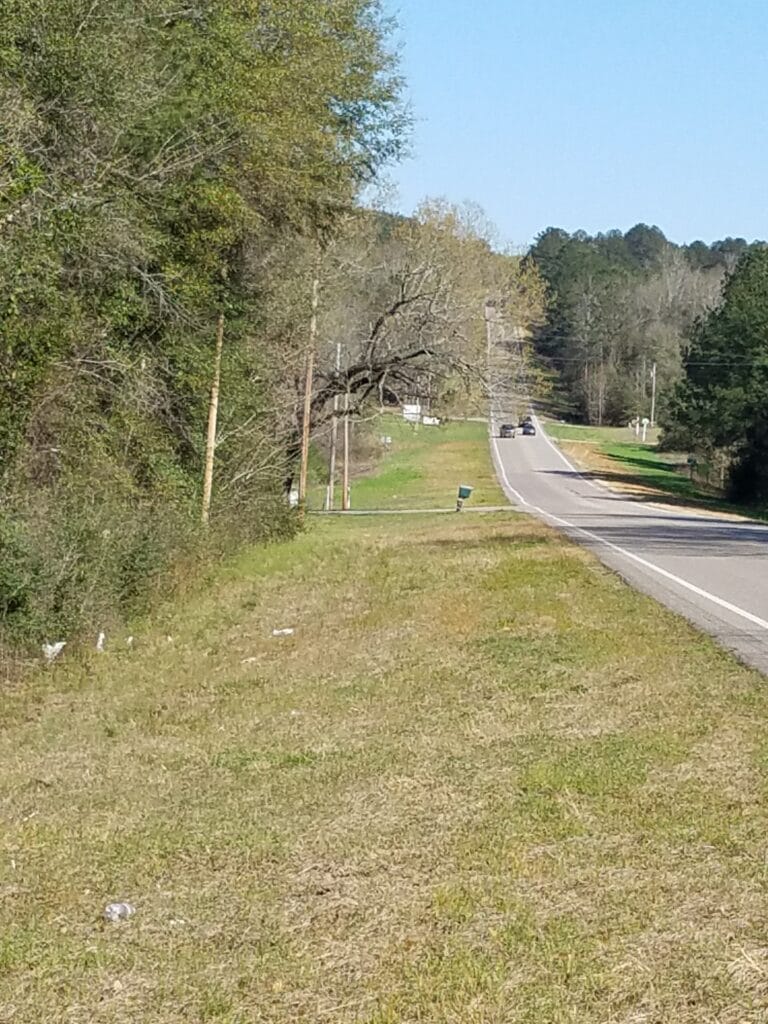
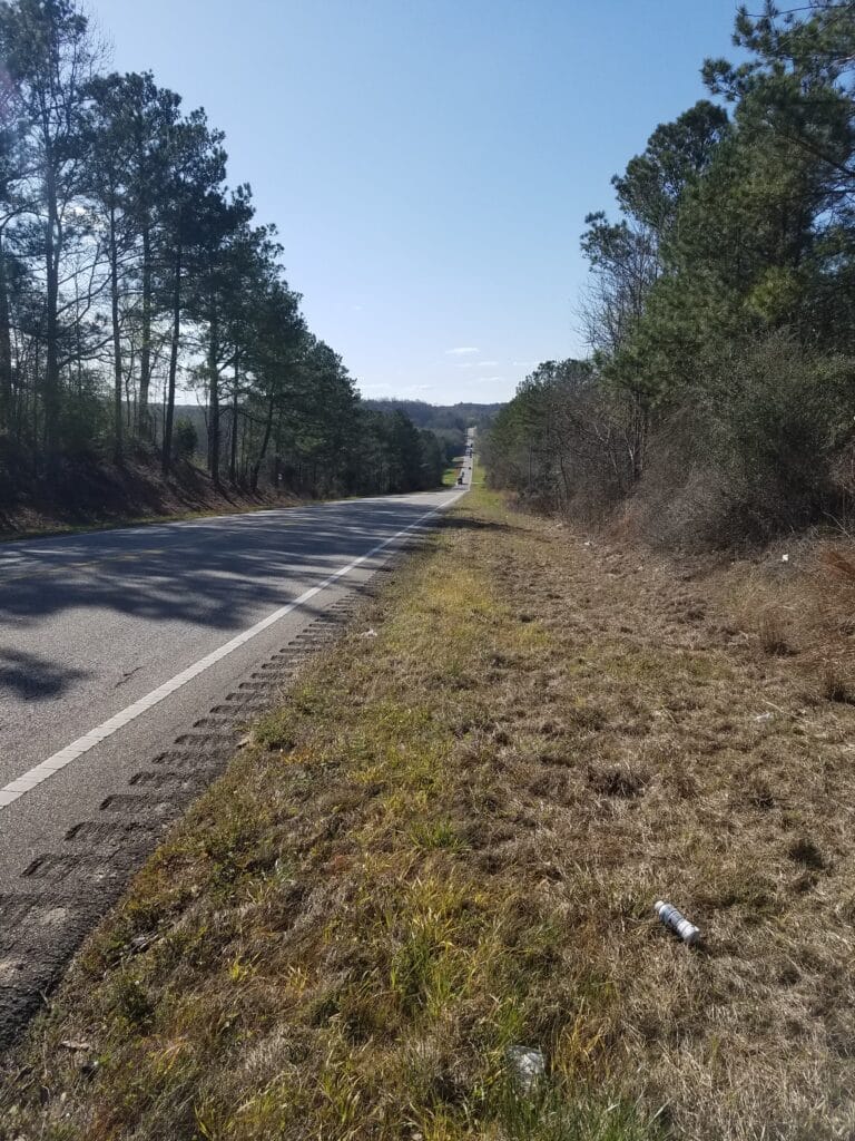
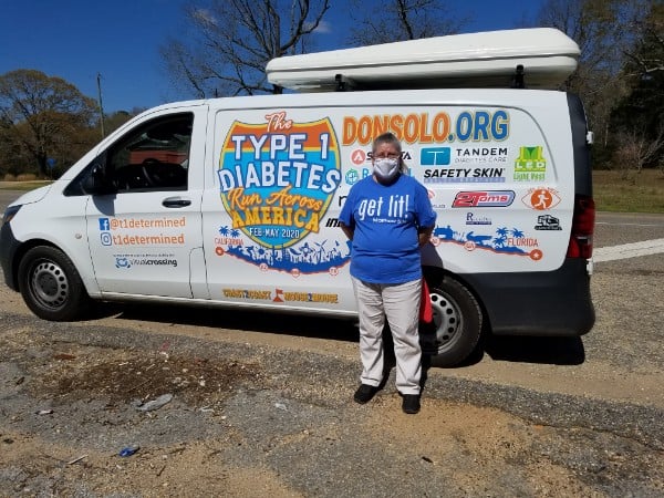
It was hard to believe that we were actually slowly working our way into south Alabama. Prattville was kind of a progress marker that I had been keeping in my mind to note when we were actually a few days from leaving the state. That was our target for the day. Getting there was another question. Apart from the rare appearance of a gas station, the roads were nothing but roller-coaster hills with extremely poor shoulder. And these were the GOOD roads through Alabama.
I got to the Country Mart gas station in Billingsley around lunchtime. We were just grabbing a bite when Jared Bonebrake of the Billingsley Volunteer Fire Department stopped by just to say hi. That really lifted my spirits, which was good because my feet hurt, and I don’t think about them as much when I’m with other people.
We were running low on strength tape, which Leslie used to cover parts of my feet where blisters threatened to form. We had placed an order online from Amazon, and we still had SOME left, but all the wet days had made me go through the tape faster. I started to see just how long I could make one application of tape last: the answer was a little short of two days. We had ample room for the package to arrive in Tallahassee, where we had planned to take a rest day. Spoiler: it didn’t arrive until four days after we left Tallahassee. Meanwhile, I was beginning to feel hot spots on my feet and the need for more tape.
There was the occasional picturesque barn with a bare tree reaching up toward the clear blue sky. At least the weather was clear, not even a hint of rain or clouds, and the first day like that we’d had in a week.
It was still on the cool side during the day, but I noticed I could take my gloves off now around 9:30. The days were slowly getting a little warmer as we got farther south. I reached the abandoned Henderson Grocery in Joffre AL around 3:30 PM.
Somewhere during the day we encountered Cindy, whose Type 1 son was diagnosed at the age of 13, about the same age I was at diagnosis (I was 11). He is not 30, and connecting with Cindy and sharing positive stories about T1D made my day.
We stopped the day at 30 miles at a Citgo about four miles outside Prattville sometime after 5 PM, way later than it should have taken me to get there. When we did, all I wanted to do was lie down and massage my feet. Instead, we made a 15 mile drive into Montgomery, grabbed a quick curbside meal at the McDonald’s in Prattville, and headed to our Air B&B in Montgomery’s historic Cottage Hill neighborhood, which we still had to COVID-clean before I could really lie down. I remember carrying our bags up the steep concrete steps to the porch, up another set of steps, in the dark, legs twitching, and feeling tired and miserable. And that was after only 30 miles.
I needed a hot shower. Then I really needed some diclofenac cream and that foot tape.
3/21/2021: Prattville to Pike Road Village, south of Montgomery AL
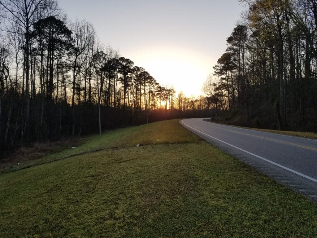
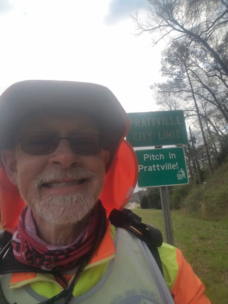
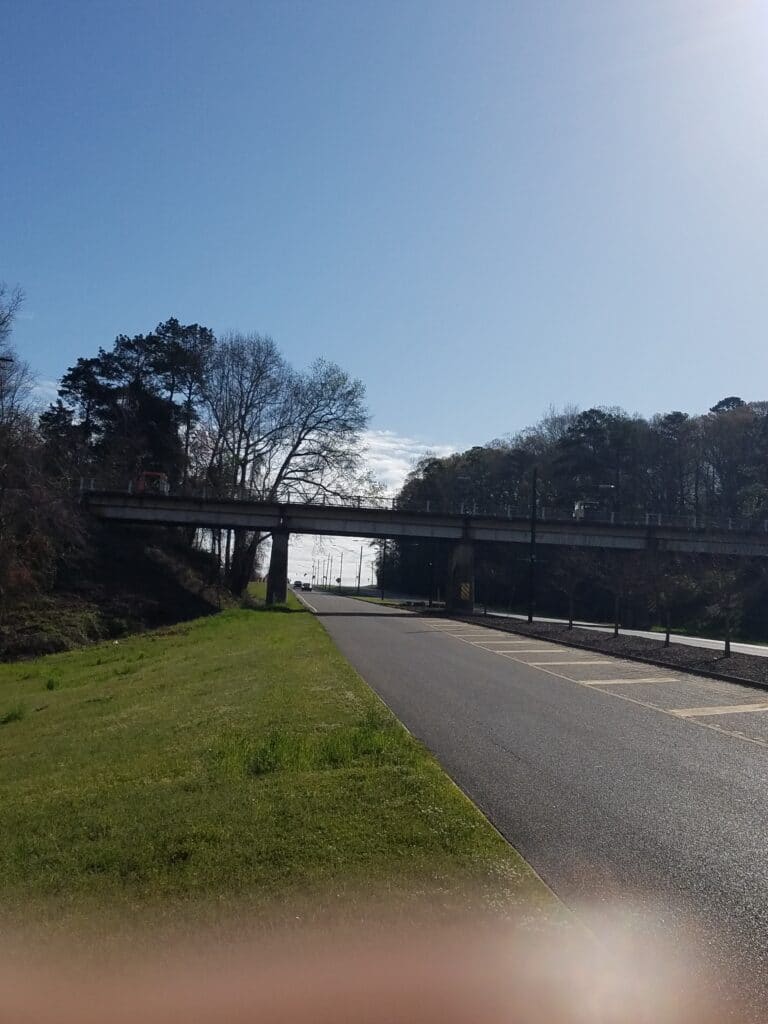
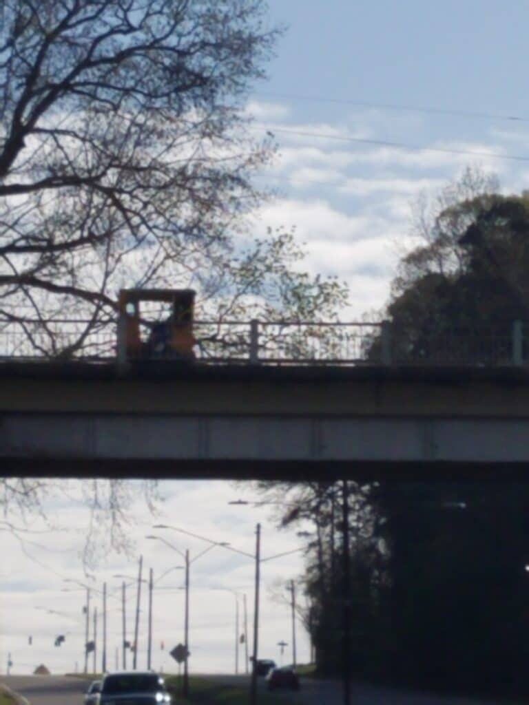
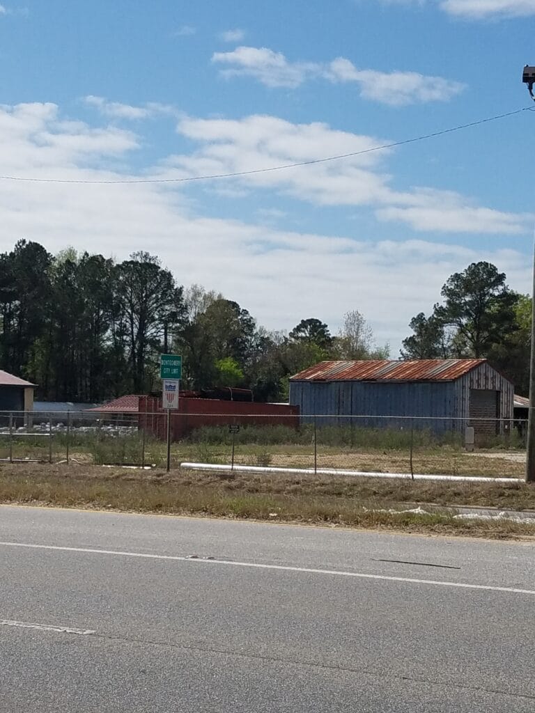
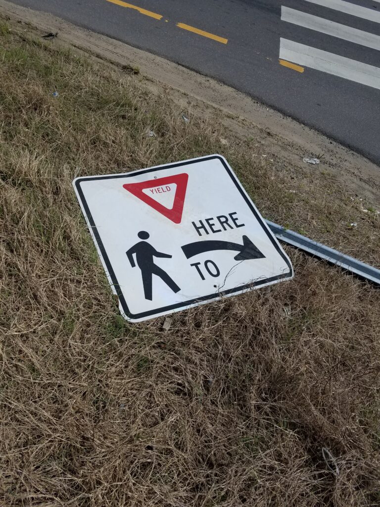
I resumed running at the Citgo around 7 AM, about 15 minutes after sunrise. My feet finally felt something like normal. At around 7 AM, the roads flattened as they went into town. It still took me an hour to get to Prattville proper. I crossed the bridge and made the right turn toward downtown, toward an odd-looking building that I thought might be part of an old mill or something. I did a little research later and learned that a cotton producing plant had been built some time in the mid-1800s near the river because it provided a source of power.
As I turned left into downtown, I noticed a man taking pictures with a professional camera. Now, I’m not as egotistical as some have said, but after 2000+ miles, I’ve encountered my share of reporters who wanted to do a piece on the run. Most of the time they contact us first…but not always. Just in case, I tried to look less tired than I was and straightened up my back a bit. He went on photographing…something. A storefront, I think.
Downtown didn’t last long, and there was an uphill stretch on Main Street past some more recent construction. The road ran under what looked like an old railroad bridge, but when I looked up, it had these little tiny cars on it with people in them, which came every 30 seconds or so. To this day I don’t know what was going on there.
I turned south on US-31 at the McDonald’s and had the strangest sense of deja vu. The road didn’t have sidewalks, so I took to running through parking lots and over grass berms separating local businesses. At one point I stepped into the street to avoid construction and heard a police siren. My first thought was that this guy was going to ticket me for “pedestrian in roadway”, which is what they sometimes do if you’re inhibiting traffic. But there was no traffic, and as I glanced across the road and jumped back up onto the grass, I noticed he had pulled someone over.
Around lunchtime I reached the western edge of Montgomery. It was still fairly rural, so it was a little bit of a surprise to see the sign. Now I just had to get through Montgomery. My biggest concern at that point was crossing the highway just south of US-82 so that I could get onto the wide right shoulder of the bypass bridge. I hated having traffic at my back, but the other two bridges were either a tollway (illegal) or the Interstate (also illegal). Both were no less dangerous than the bypass bridge, so I fastened the neck cord on my boonie hat and made it across as quickly as I could.
I began to see signs for Troy, Ozark, and Dothan, three towns that definitely said “Southern Alabama” to me. US-31 turned into US-80, and in what seemed like just a few miles, I was into and through the restaurant-and-gas-station part of town. As I approached US-231, the intersection got busy and I crossed over to the right hand side of the highway to take advantage of the little bit of frontage road I had next to the community college. I ran on that side until the shoulder got equally bad on both sides, and after stopping at a Chevron and seeing a rather listless and self-conversational looking guy sauntering along the roadside without anything that looked like a cellphone, decided to cross the highway and give him a wide berth.
I’m sure he was just as happy to see me cross as well. After that, it was open highway for a while, and the tall weeds and hidden retread wire that goes with it. My shins got pretty banged up in that stuff, and I learned to hate it.
Some time around 5:30 PM, I reached Pike Road Village’s gas station, at around 6 PM, the 231 Fuel Stop a little farther down the road. Pre-pandemic, my plan had been to stop at Montgomery Multisport and chat with some people who had promised to run a few miles with me. I’m just as glad they didn’t. The road shoulder was poor quality, and the only difference between north and south of Montgomery was that they were now relatively flat.
We were at 32 miles for the day. There was nothing much south of the Fuel Stop, so we called an end to the day’s running. Somebody else could have done a 36, 40- or 60-mile day, but not me. I didn’t want to, and I was happy my feet weren’t screaming.
3/22/2021: Pike Road Village / Montgomery to Troy AL
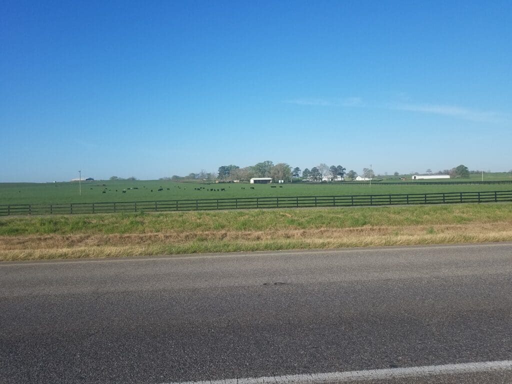
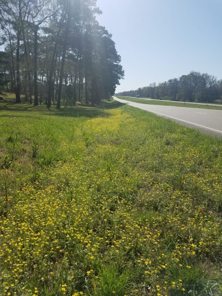
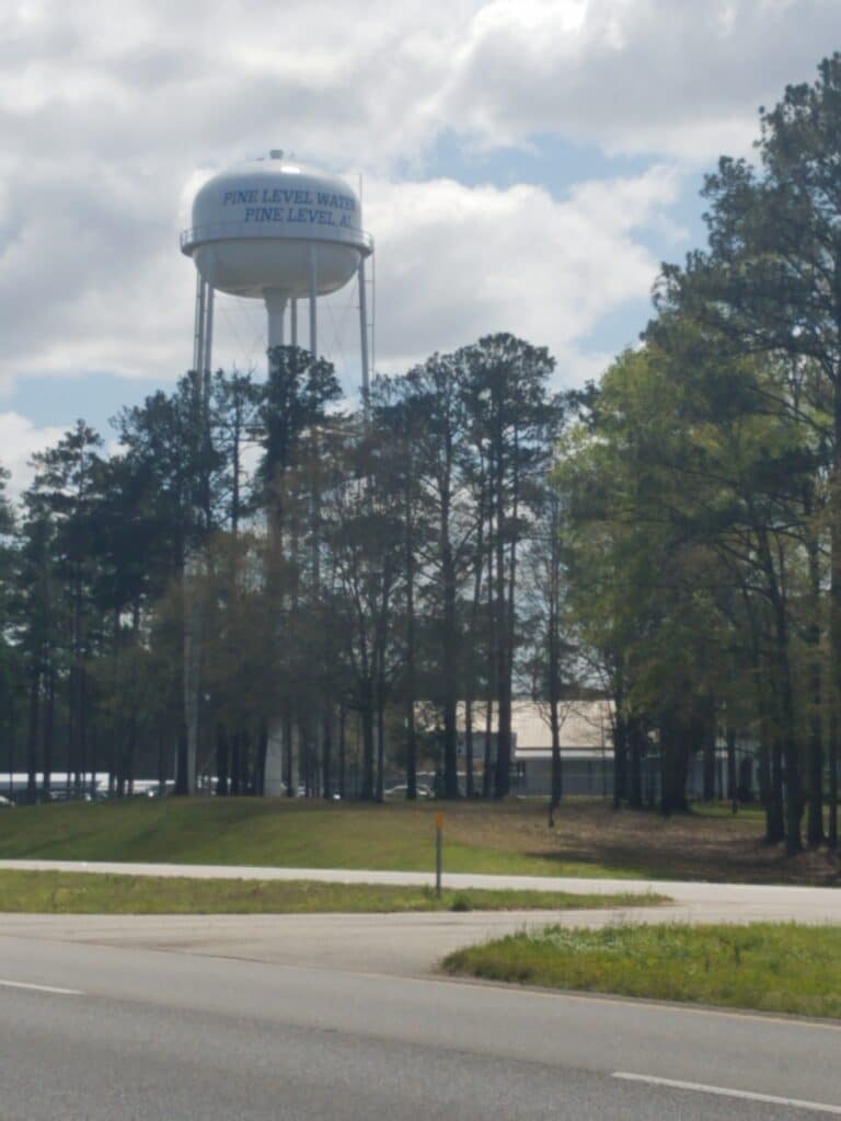
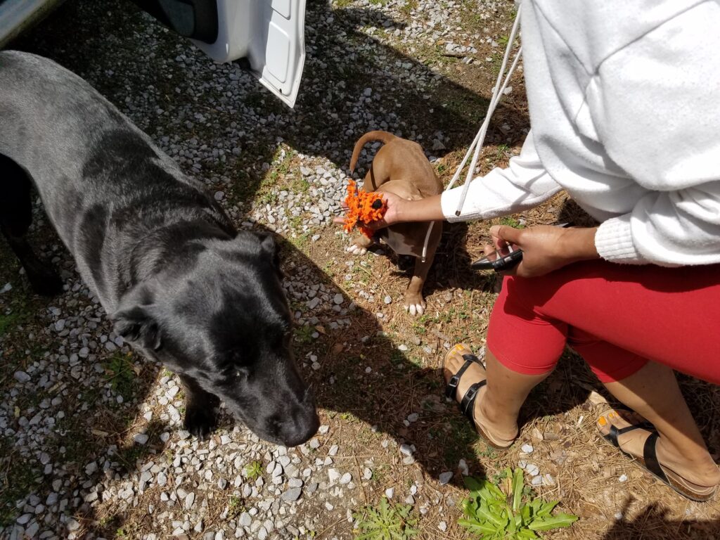
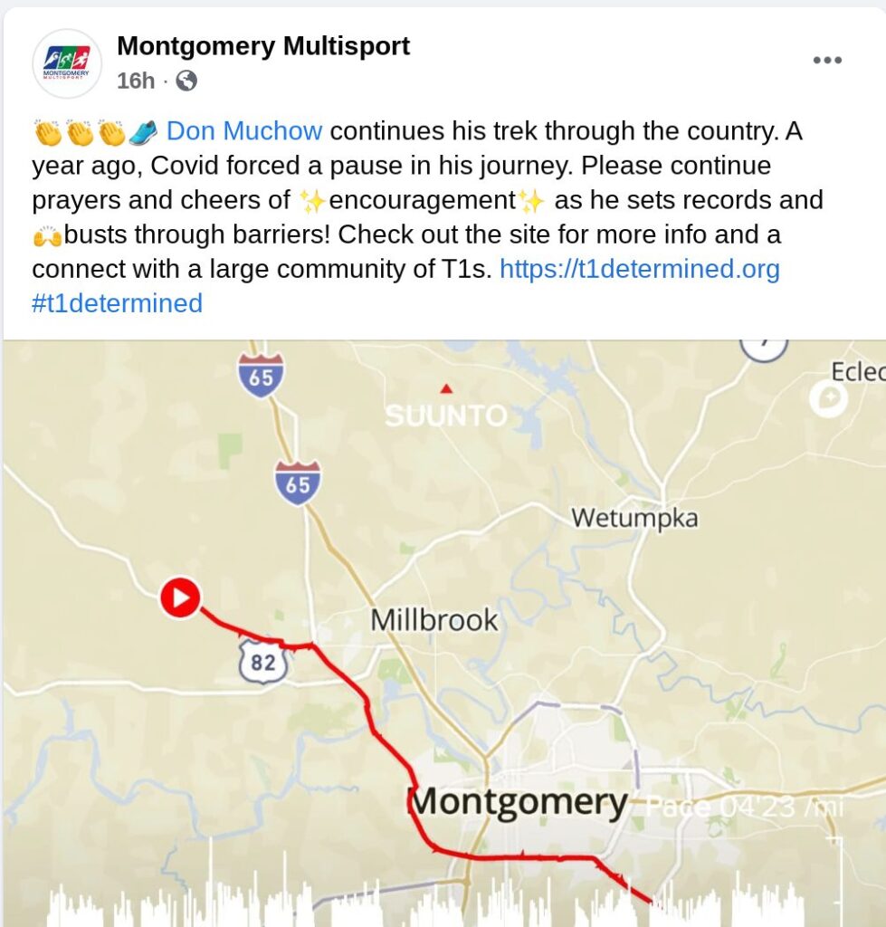
The next day was clear and beautiful. I began to see Spanish moss on tall trees, and fields of yellow flowers. My friends at Montgomery Multisport created a Facebook post wishing me well, which warmed my heart.
At around lunchtime I saw the Pine Level water tower, which is a bit confusing since Pine Level shows up as both north and south of Montgomery. Anyway, this was the Pine Level just past Sike’s and Kohn’s Country Mall. We stopped there at a park to grab a quick bite and met Jae, an ebullient lady who was the namesake of a fellow runner I had completed the Texas Quad, a quadzilla, with in 2016, the last year I ran with Mason Cross, a running buddy and old friend. That’s him third from the right in both pictures above.
Mason had been the finisher for our Capital to Coast relay team, Team Diabadass, in 2016. One of the things a lot of us T1Ds remember him for was his hopeful attitude and his “diabetes does not defeat me” stickers. He mailed them out for free to anyone with type 1 who had amazed themselves by running a half marathon or marathon. I identified with that. Type 1 could be scary when mixed with exercise. Sudden drops in blood sugar had the tendency to produce seizures, unconsciousness, and sometimes, death.
Mason died a little over year ago from ALS, Lou Gehrig’s disease, or maybe it was longer. His wife said recently that ALS took away the one thing Type 1 couldn’t take from him: his love of running. I remember him asking me for advice on recovering from a foot injury. He couldn’t move his foot and thought he had pulled a muscle. I didn’t know what to say…I hadn’t had such a bad injury, and his seemed unprovoked despite the fact that Mason was a much better, much faster runner than I. It turns out it was the first signs of the disease, and neither one of us noticed.
My mind wanders sometimes when I’m running. Somewhere along the run I had started to wonder if anyone had ever beaten my FKT across Texas. I learned that a woman named Rebecca Gartrell had died trying. She was a victim of a hit-and-run on TX-302, between Kermit and Odessa. I remember that stretch of road. When I ran it, passers-by had warned us it was one of the most dangerous roads in Texas. But it was also one of the only ways to get across the state on foot, and TX-285 didn’t look any better to me at the time. And now, my heart felt heavy and I felt like a party to her passing.
So the day was a bit sad and reflective for me. It was nice to meet Jae and her two dogs, one a very affectionate black lab, and the other a slightly frenetic American Bully. Jae’s husband had given them both Latin names. I think the lab’s name was Cano or something like that. Anyway, they calmed me down. At least Cano did. The bully had the temperament and attention span of a toddler, and needed a doggy shirt that said “if I’m quiet, you’d better find me.”
We finished the day at 31.5 miles, at a Chevron just past the Troy Municipal Airport about six miles outside of town, some time in the afternoon. I’m sure my Garmin InReach says when. Anyway, I don’t know where the time went.
3/23/2021: Troy to Dillard / Ozark AL
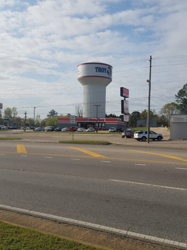
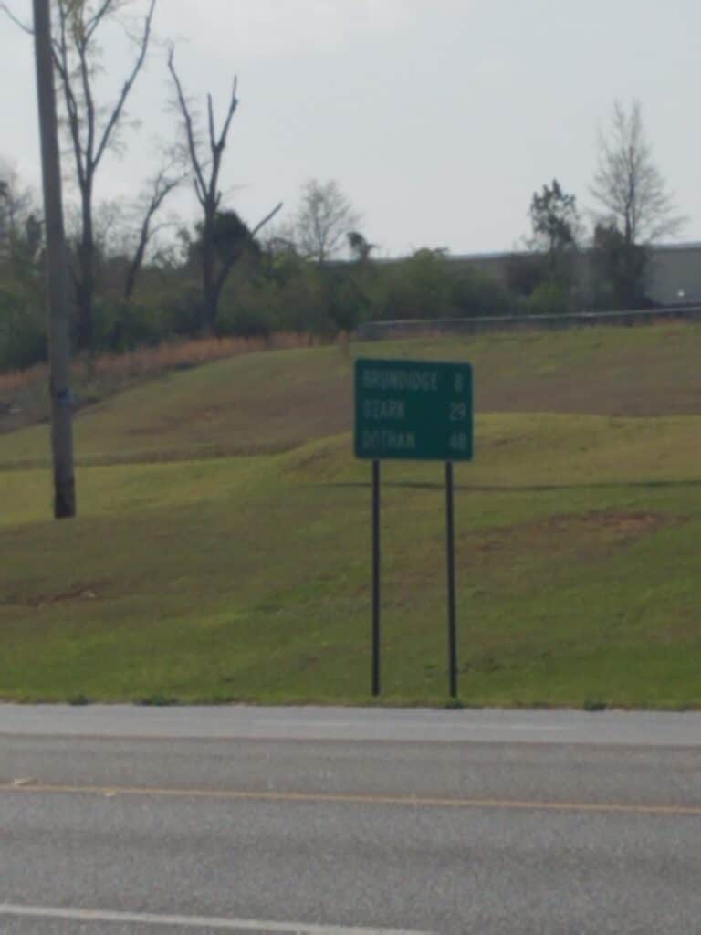
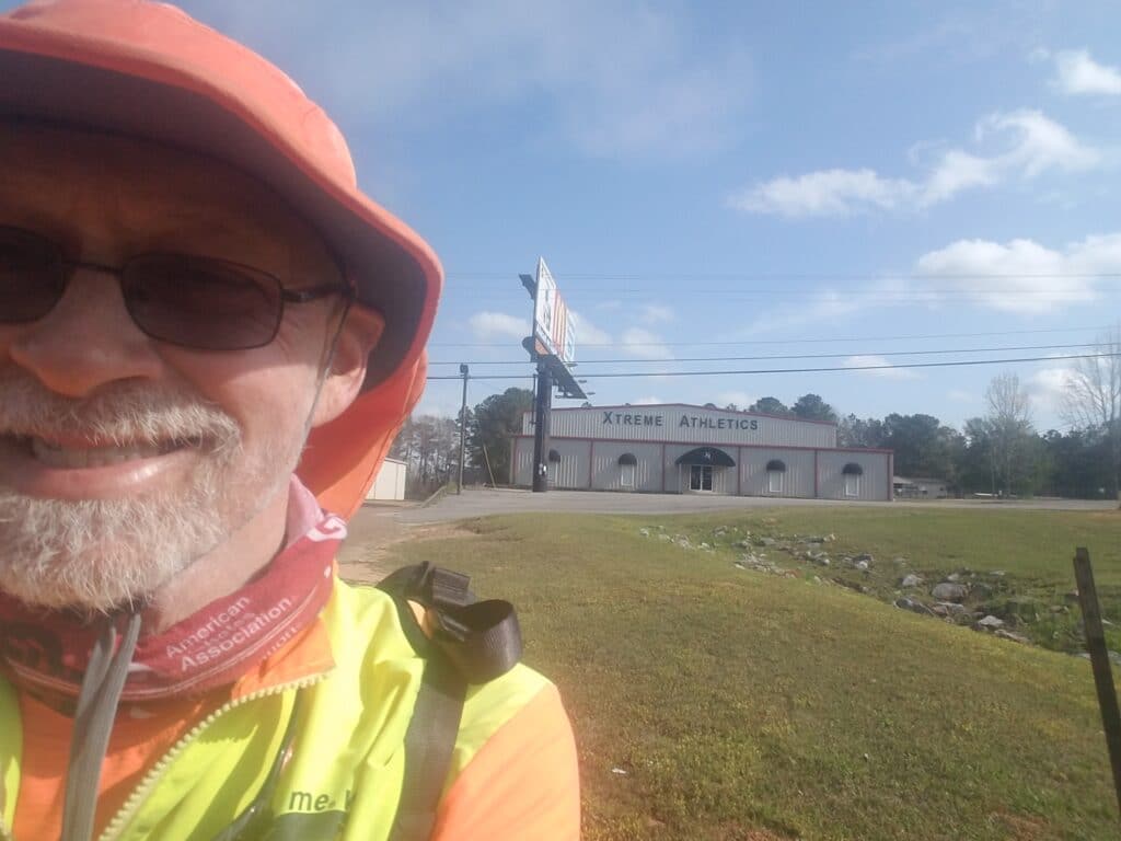
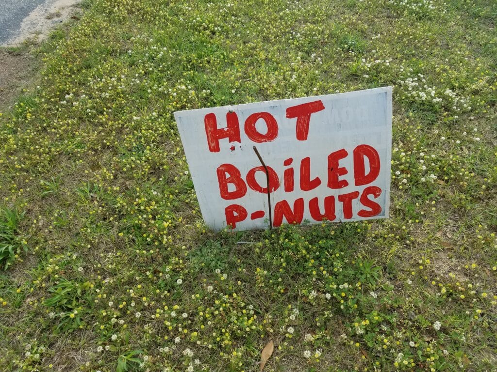
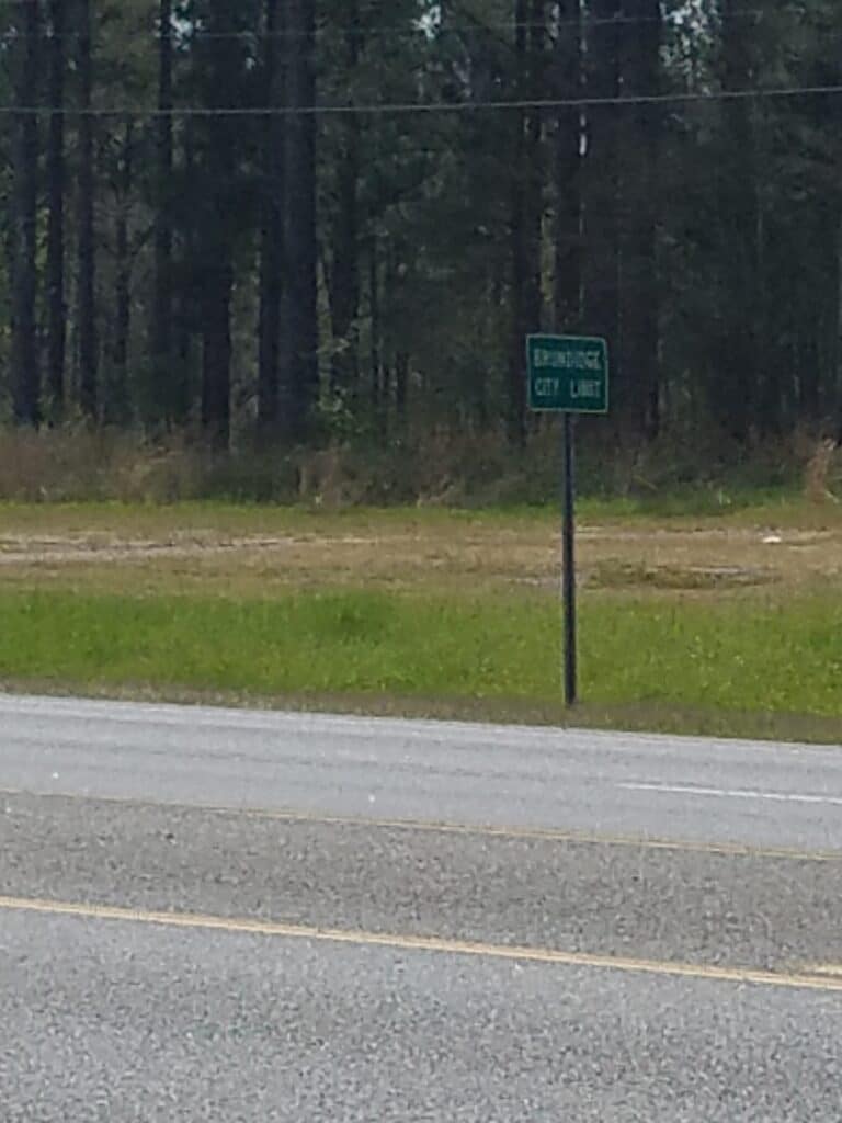
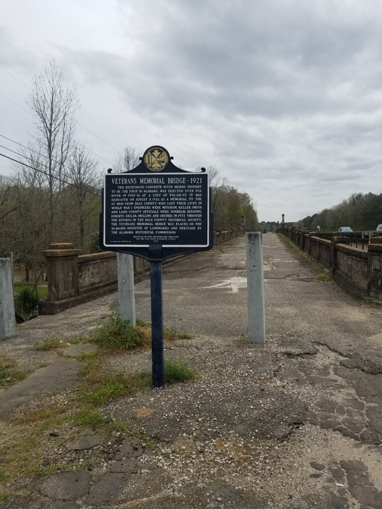
With sunrise starting earlier and earlier, I began the day just outside Troy at 6:45 AM. It took me two hours to actually reach Troy.
I saw signs saying that Brundidge was eight miles away. It felt better to be in a part of the state where the towns, however small, showed up every dozen miles or so. It game me something to look forward to.
About an hour later, halfway between Troy and Brundidge, I saw a business called Xtreme Athletics. I don’t know if it was a gym or an equipment manufacturer, but the thought of running across the country made me want to take a selfie with the building in the background. So much the better if it proved I was there.
Much of the remaining mileage into Brundidge was a collection of long highways and the occasional sign saying “Boiled P-Nuts”, usually with the word Nuts on a second line, like it hadn’t been planned that well in advance when the sign was made. I knew that my mom was a fan of boiled peanuts, so we resolved to get her some when we made the drive back from the Florida coast.
Around lunchtime I reached Brundidge and what I can only describe as “the Washing Machine Graveyard.” And I had about the same reaction as the characters in the 1976 movie Tarzan and the Graveyard of the Elephants: agog at the sea of ivory-colored corpses of once-functioning household appliances.
Along the way I passed a rather picturesque old church and some discarded plastic things that didn’t quite look like Eastern eggs but didn’t look like anything else either.
Just south of Brundidge is an old highway bridge that’s no longer in use. It crosses the Pea River parallel to US-231 and is in good enough condition to allow pedestrians. But like a lot of the US’s historical roads, it’s fallen into disrepair. But what stories these roads could tell! Without plaques like this one had, I fear that one day our descendants will stumble upon our great network of roads and wonder where they went and why.
By about 2 PM, I reached the Hamilton Crossroads Church of Christ, not far past the Dollar General. In this part of the country, that’s how you measure distance: by how far something is from the Dollar General.
I kept running, eventually calling a day stop at 5:30 PM at the Pleasant Grove Baptist Church sign in Dillard, just outside of Ozark. It was starting to rain again, and we still had a 30-minute drive to our Air B&B in Goshen that was mostly on back roads. We wanted to get there before dark, while the roads were still dry, get it cleaned, and settle in before picking up the next morning.
3/24/2021: Dillard / Ozark to Dothan AL
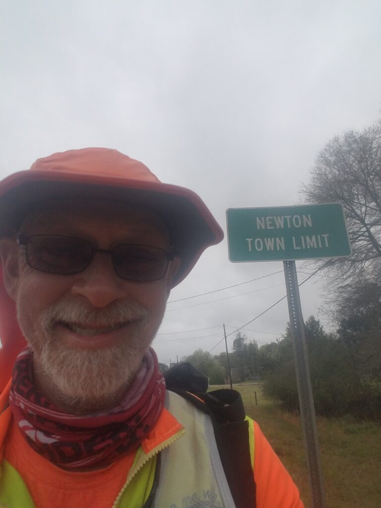
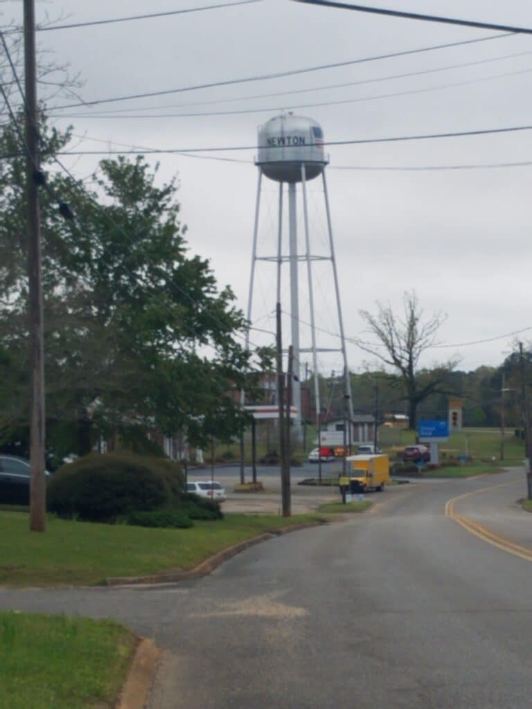
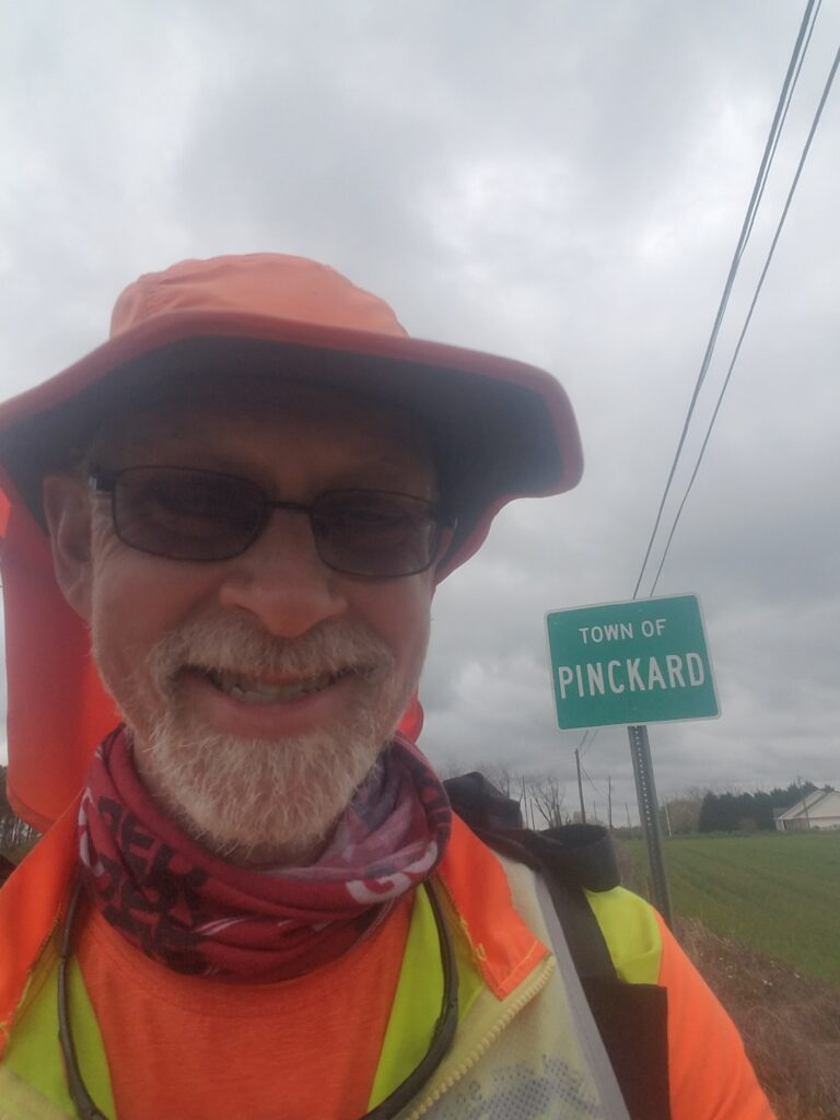
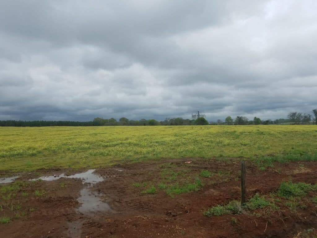
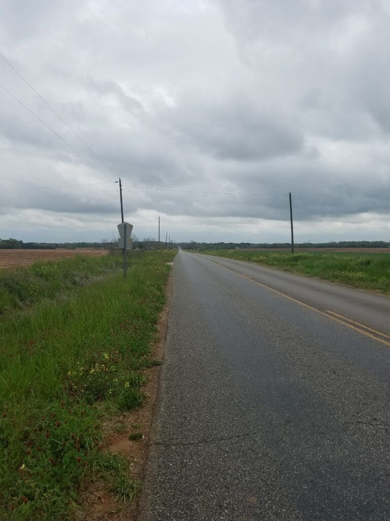
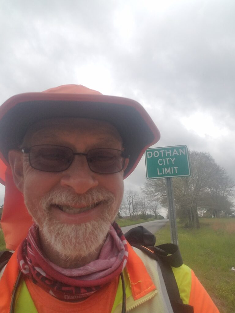
The Air B&B in Goshen was a bit of an odd duck: it felt more like a “bro” getaway than a house. It looked rustic, but recently built. There was a large pool table in one part of the main room, and the doors opened on a number of sides and let in fresh air. The bathroom was combined with the laundry room, and the back door of the house led out just past the shower.
The drive back to the church wasn’t bad. I started running around 7;30 Am, and by 9 AM I started seeing signs that prematurely reported Dothan to be just 19 miles away. I knew better than that. We weren’t going to stay on US-231, which meant the distance to our destination was greater. I ignored the signs and focused on the next two towns: Newton and Pinckard. On this part of our route, we had deliberately gotten off 231 and onto back roads to avoid dangerous no-shoulder bridge crossings further south. There was a no-shoulder bridge on our backroads route, but it was short and had no traffic to speak of.
Newton was a pleasant little town that for all its ruralness reminded me of a nicer subdivision of a larger city.
By the time I reached Pinckard at 1:30 PM, the humid, cloudy weather was starting to look threatening again.
There’s this old joke that goes something like this: What’s the difference between an Alabama divorce and a tornado? Answer: Not much: either way you lose the trailer. I was beginning to wonder if our clear days in Alabama were the exception to the rule.
Around 3 PM I reached the outskirts of Dothan. Approaching Dothan from the northwest side on back roads, you don’t really notice it’s a town of some size. You see the Dothan City Limits sign well before you’re actually in the city. It’s pretty rural. As you keep running on Brannon Strand Road, You just emerge a wooded lane of little apparent consequence and all of a sudden there’s a busy four-lane highway, a CVS and a Shell.
I was glad to get there. About the time I reached the civilized part of Dothan, the clouds had parted a bit to let in the sunshine. I ran along concrete drainage ditches paralleling the highway that would have been flooded with rain had any fallen. It was a good bit better than running in the tall weeds along the highway. US-231/431 was actually quite busy, and when I reached a traffic light at the Lowe’s past the Volkswagen dealer, I cut over to the south side of the highway anticipating a right turn onto Prevatt. I instantly regretted it. I found myself hiking through waist-high weeds. It slowed me down quite a bit, and I didn’t make it to Prevatt, which was only a mile past the Clarion. It was between 4:30 and 5 PM, I was fighting rush-hour traffic at my back, and when I got to Oates Street, I must have had to wait close to ten minutes to cross. I paced up and down the shoulder looking for a way to cross just halfway. It seemed like forever, but I finally managed to make it halfway across, and then thanks to some courteous drivers, the rest of the way to the Clarion some time around 5:30 PM.
I could have gone another mile, perhaps. I’m not Pete Kostelnick or Marshall Ulrich; even so, on a typical transcon day, I’ve got a good 34 miles in me at least. But with that traffic, fading sunlight, and the threat of storms, that’s exactly what I had in me: not one foot more.
When we got to our Air B&B in Enterprise, a nice, clean, and well-kept suburban house that looked stuck in the early 1980s, it was raining buckets.
3/25/2021: Dothan AL to Donalsonville GA
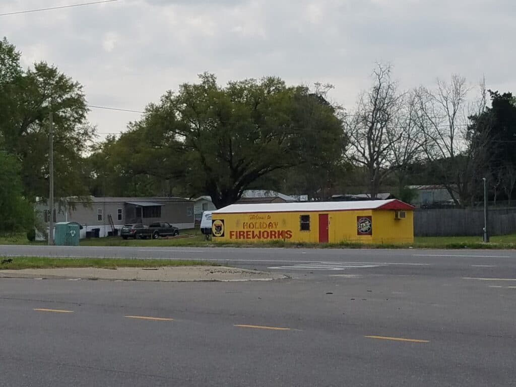
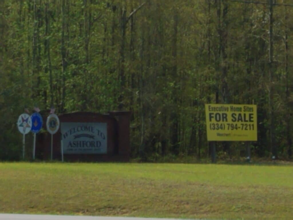
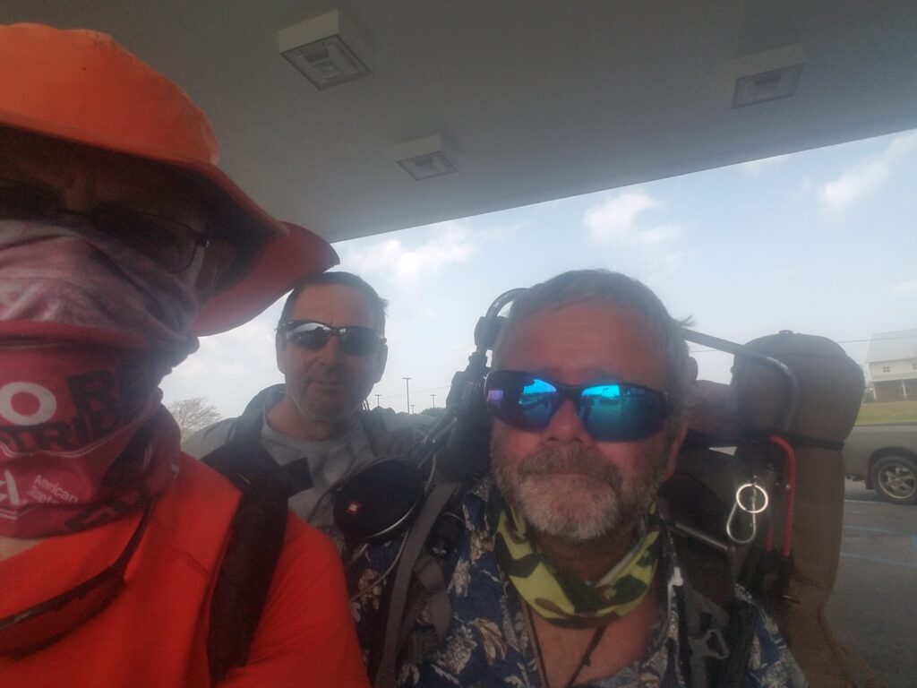
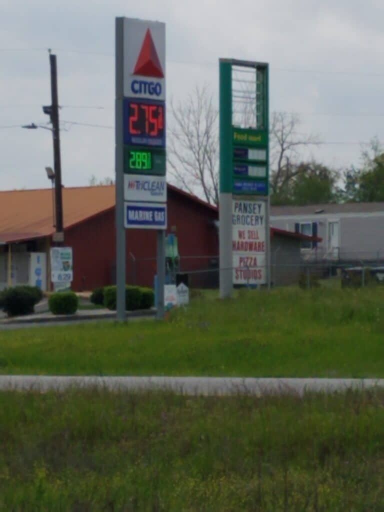
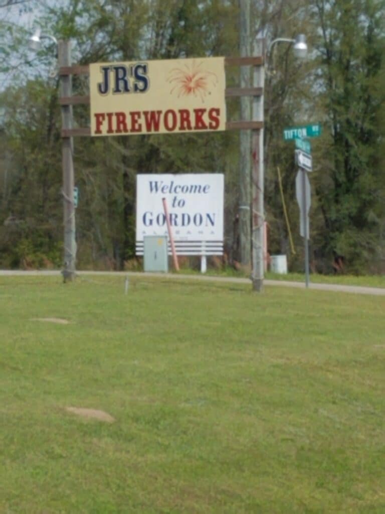
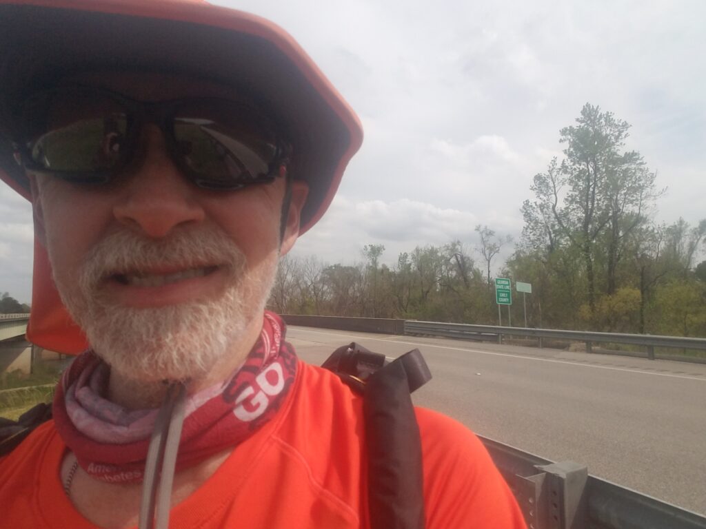
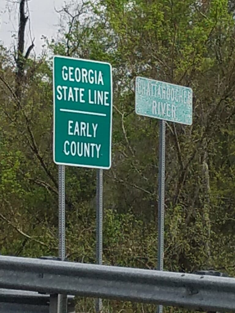
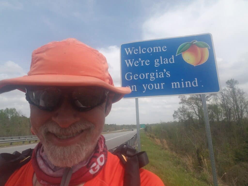
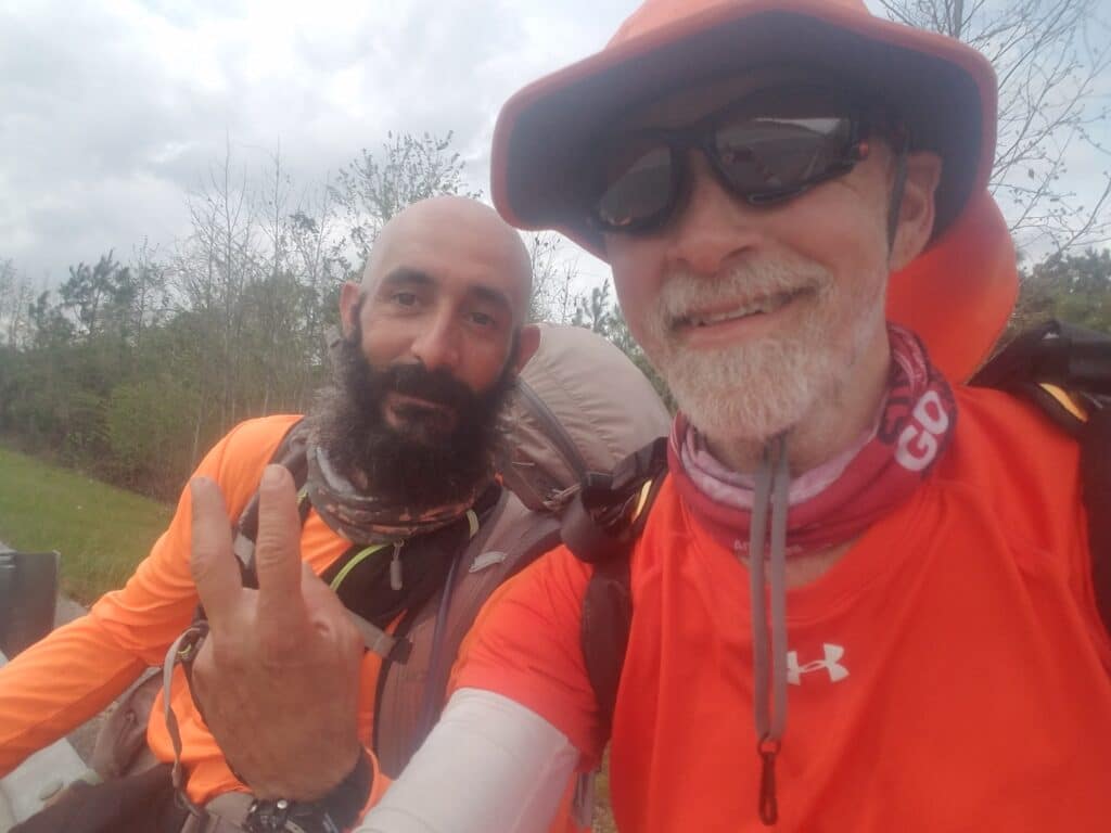
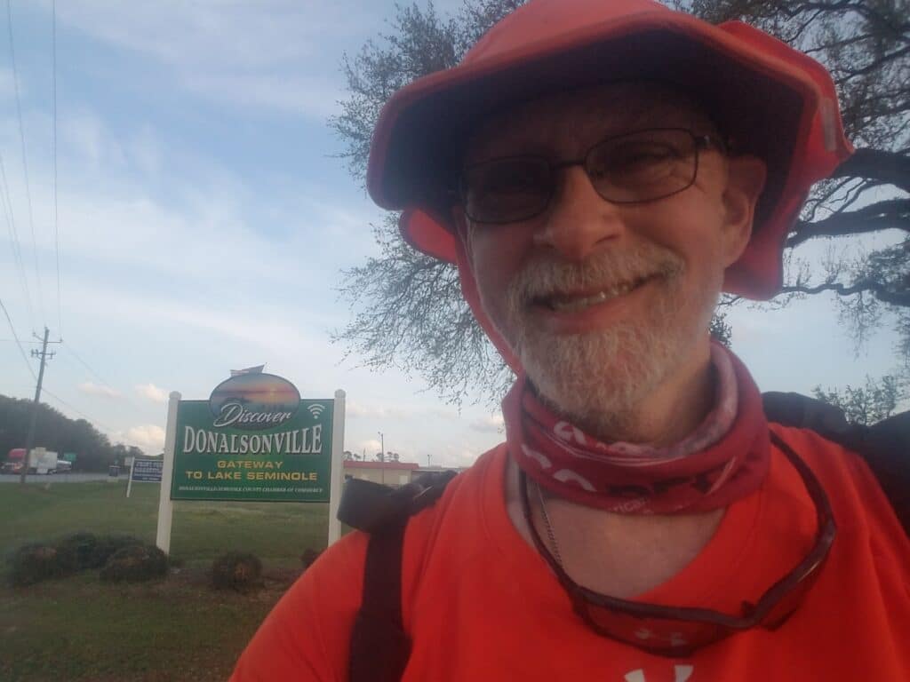
The drive from Enterprise hadn’t been bad considering that it was in the daylight with no rain. The weather was cool and clear and good for running. On sunny days, though, I no longer wore my windbreaker, though, as the cool period didn’t last very long. I picked up running at the Clarion in in Dothan at 7:15 AM or thereabouts, and the turn down Prevatt Road was quiet and uneventful. It took longer than I thought, and at one point I was convinced I had already made the turn onto Forrester Road. About an hour later, I passed a school with a large sign that said “Beverlye.” For some reason, I was thinking about squirrels, and what devious little animals they are. I’ve watched them in my yard burying the same nut three or four times, occasionally faking out another squirrel by stuffing it in its mouth and then “burying” the nonexistent nut. So I read the sign as “Beaver(s) lie”, as if the squirrels were casting doubt upon the truthfulness of other forest creatures. I chuckled to myself as I ran down the blissful bit of sidewalk past the school. And this is why most people who see transconners dressed funny and laughing to themselves while running on the side of the highway are crazy.
At 9:30 AM I passed a fireworks stand next to a house trailer. I’m just going to leave that there.
By 10:30 AM I was in Ashford, AL. It was there I met Tim “Izzy” Israel and Bob Ganweber, two fellow transconners, at the Inland Gas. They were traveling east to west, with an eye on finishing somewhere in Washington state. We chatted for a bit under the station’s canopy–after the previous night’s rain the weather had resumed a drift toward warm and humid–exchanged contact info, and I kept going.
By noon, I reached the Citgo in Pansey. Leslie and I had a quick lunch, making the decision to press on quickly, as the pulloffs weren’t great on my side of the highway and there was no point in my crossing four lanes of US highway just for a quick snack and restroom break. I reached Gordon around 2 PM and the Georgia state line by 3:45 PM.
About ten minutes after crossing the bridge into Georgia, I met Carlos Duran. Like Izzy and Bob, he was crossing the US east to west, but unlike Izzy and Bob and most of the other transconners I know, he was running it like me, or trying to. He had loaded up a fair bit of featherweight equipment in a backpack that looked designed for transconning. Like my running vest, his had padded straps that ran under his armpits and up to his shoulders. He had a hydration bladder, a gaiter, a running watch, and a bright orange shirt. He seemed just as happy to see me as I was to see him. We exchanged pleasantries, reassured each other that no supplies were lacking, and talked about the road each of us had not yet seen. I told him about the bypass bridge in Montgomery after I learned he’d be passing through that town. He had a route mapped out, but he hadn’t scouted it personally, relying as some do on Google Street View. He seemed to appreciate the heads up.
I set my wristwatch forward an hour since I had finally entered the Eastern Time Zone. It seemed weird to be setting my watch forward an hour when I had just done that less than two weeks before for the switch from Daylight Savings Time. I needed to remember to set my Ambit 3 to the right time zone as well. If you remember, that’s the watch that eats workouts after 1000 kilometers. That was no longer a problem as I was saving workouts at the end of each day, but the watch still needed more care and feeding than the Suunto Baro 9. Just about everything else should synch with a satellite at some point, but I made a mental note to tell Leslie to set the clock forward in the van.
It still felt weird to think that in less than two weeks, sunset had moved forward from 6 PM to 8 PM.
At 6:30 PM, somewhere outside Donalsonville, GA, I took a picture of the clearing skies, and by 7 PM, I was in Donalsonville itself. I had gotten in 34 relatively painless miles, and I was in a good mood.
3/26/2021: Donalsonville to Attapulgus GA
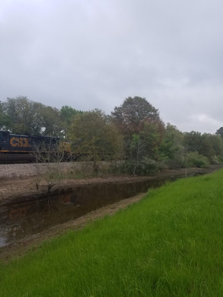
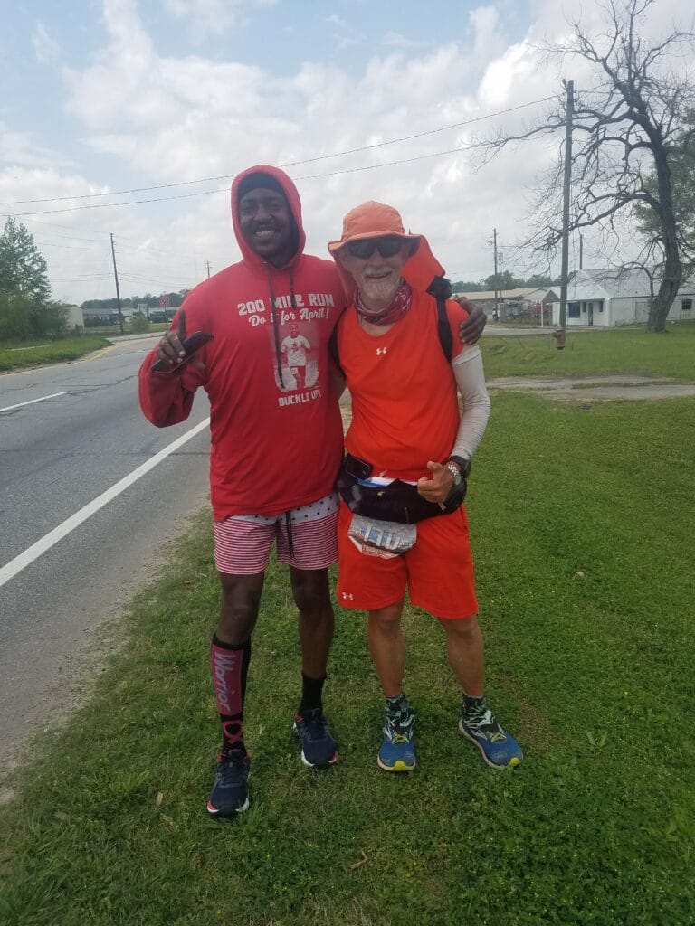
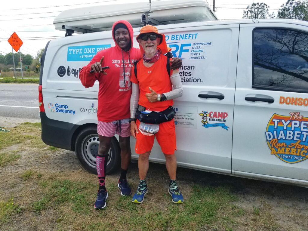
March 26th was in many ways one of the best days I had running before I got into Florida. I started just after 7:30 AM, which was what used to be 6:30 AM, so the sun was low in the sky and the temperatures were still cool. By 8:30 AM I was in Iron City, a town that as best I could tell consisted of mostly a sign saying Iron City. The roads were good, and the shoulders were much wider than in Alabama. About 15 minutes after leaving Iron City, I started to notice peanuts on the roadside. At first, I thought a truck had lost a few from an un-tarped load. But the peanuts went on for miles. I am not kidding–they were actually a bit of a road hazard, as landing on a patch of them was like running on marbles. Nevertheless, it was amusing to see so many peanuts, given Georgia’s reputation for the crop so often associated with Jimmy Carter.
I began to notice a gradual change in the terrain. It was much flatter here than in Alabama, and there were often wide-open spaces bordered with tall trees. The shoulders here and there, while not dominantly so, could be a little sandy at times. It felt somehow like I was getting closer to Florida, the last state I had to run across to reach the Atlantic coast. In 2400ish miles so far, I had run through four time zones and eight states. I was about to enter my ninth and final state.
In case you haven’t noticed, I measure time relative to lunch, much as folks in the South measure distance relative to the Dollar General. At around 1:30 PM, just after lunch, I entered the outskirts of Bainbridge GA, and we ran into my friend Harold “Buckle Up” Allen. Harold is an amazing guy: wrongfully convicted of a serious crime as a teenager, he has managed to move past negative thoughts about lost time and opportunity and turn himself into an inspiring vehicle for a message of positivity, self-reliance, humility, and strength. He took to running a few years back, well after most people develop the habit. Like me, he just kept running and never looked back. There’s a write-up in Runner’s World about his personal challenge to run 30 marathons in 30 days. to bring awareness to mental health issues. I once told Harold that “your life is your testimony.” He seemed to like that. But he does indeed live his message.
Harold’s mom had driven him out to where we were so he could run through town with me and then run home to shower and make it to work by late afternoon. She waved from the car as he got out.
Harold had brought with him a custom-embroidered headband that said “Buckle Up” (his catchphrase), which we hung in the forward cabin of the van with our mascots and the North Macedonian flag that fellow T1D Tode Jovanoski (who is from Macedonia) had sent me. Harold ran with me over the one pedestrian-safe bridge into town, introduced me to a friend of his who ran one of the local convenience stores, and I stopped to get a cold water, then we turned right on West Street and ran through downtown Bainbridge as he pointed out noteworthy locations. He stayed with me past the Wal-Mart where we emerged onto US-27 / Tallahassee Road, which would take me into Tallahassee, and we finally parted ways around 3 PM, when he had to turn around and run to the restaurant where he worked full time. He had literally taken a big chunk out of his day to make me feel welcome in his hometown.
Shortly after Harold left, Leslie and I both separately ran into a guy named Gus who drove a red truck. He had seen the vam, seen me, put two and two together, and just wanted to wish us luck. That happened fairly often, and it was always uplifting when it did.
I still had eight miles to go to Attapulgus, where the road forked at Attapulgus Climax Road, which would mark 33.5 miles and the last marker of any note before the Florida State Line. Harold had told me it was pretty hilly, but to be honest, I didn’t notice. As I reached the Dollar General around 6 PM (see what I mean?), I took a photo of the sky. The sun was shining. The clouds had parted. It was beautiful.
3/27/2021: Attapulgus GA to Tallahassee FL
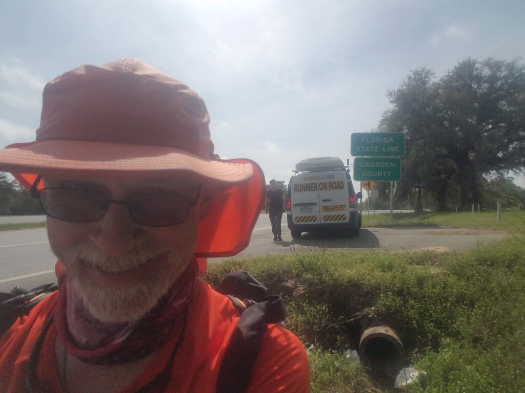
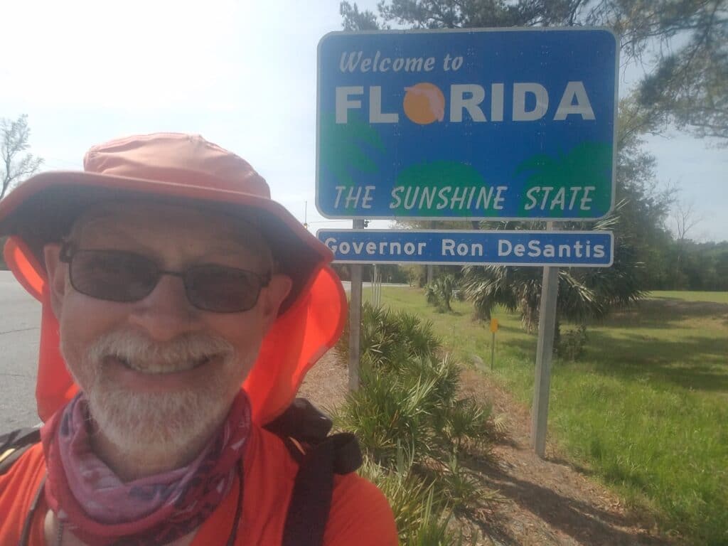
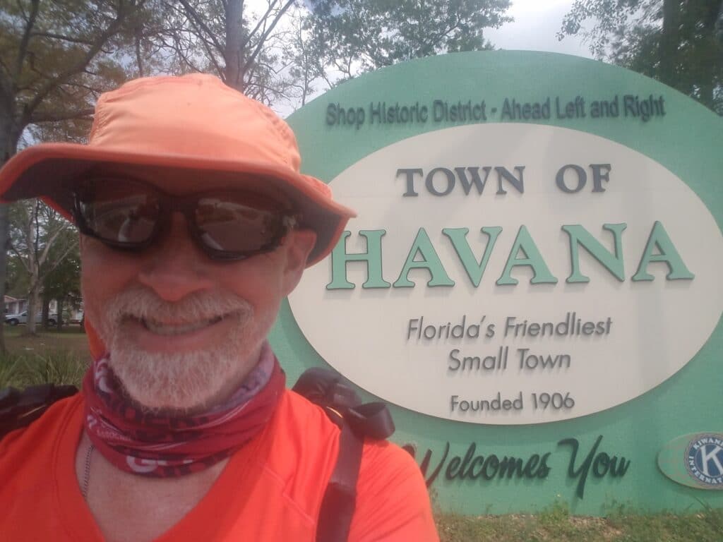
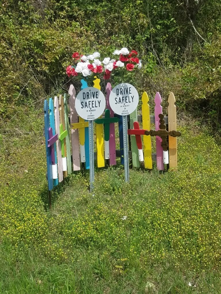
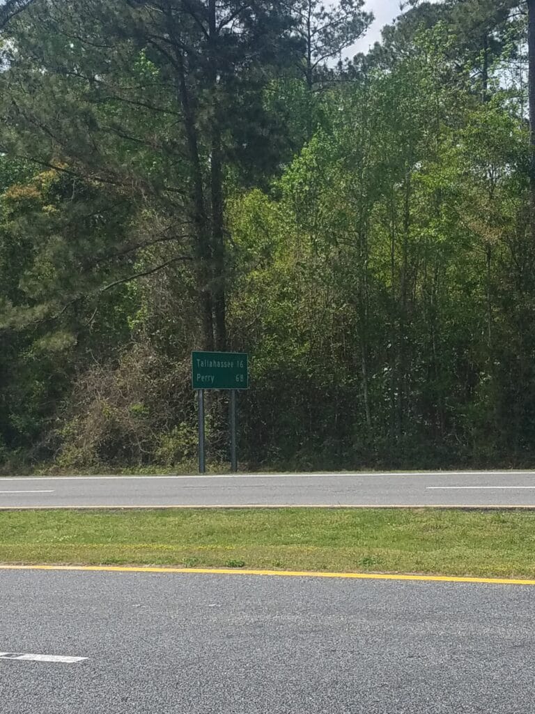
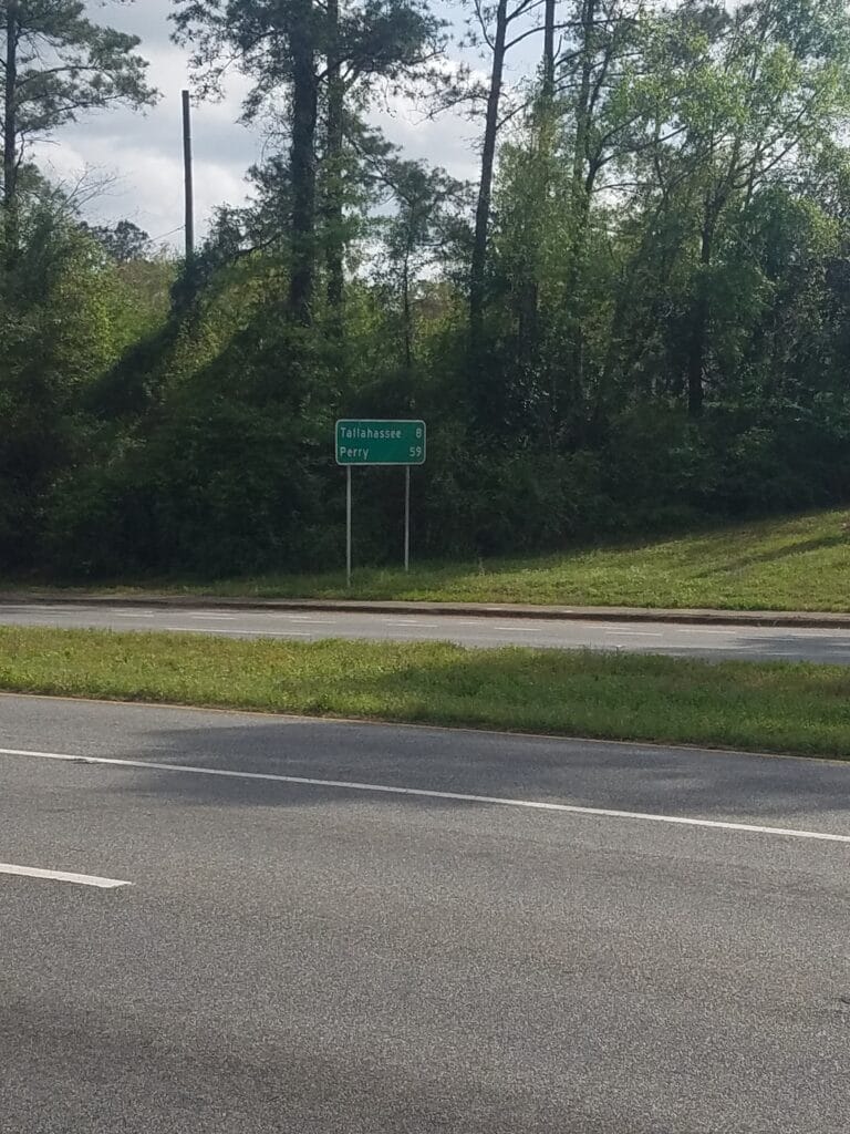
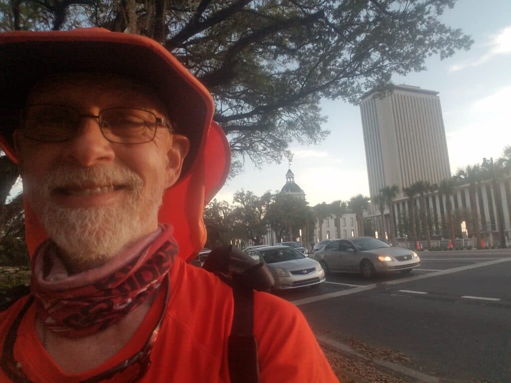
When we had stopped in Attapulgus, we were only about 12 miles from the Florida state line. If I had been a better, faster runner, I might have gone for it. But given the pleasant temps at 7 AM, I was happy to start in Attapulgus and get the reward of crossing into a new state by lunchtime.
All morning long I was haunted by the sound of an ice cream truck that I wasn’t certain actually existed. I was relieved when around 1 PM Leslie texted me to say she had seen it. Not that it ever came close enough to take advantage of.
The road quickly forked, with one side leading toward Havana on a nicer road and another taking a more direct route that had a two-lane bridge over the Ochlockonee River that despite having a shoulder, I didn’t care for. I had previously chosen the slightly longer route through Havana, mostly because it actually had a town and I thought my chances of locating a gas station for a restroom break might be somewhat improved.
Around 2:30 in Havana, we met a videographer from Tallahassee’s ABC TV station WTXL (Channel 13/27), who came out to shoot some “B roll” for a longer interview scheduled for the next day, when I planned to take a rest day in town. This was our first significant TV experience since the KTAB interview in Abilene, and it was an inkling of more to come as our finish line drew closer and it looked like I might actually be the first person to run from Disneyland to Disney World.
I began to see signs indicating that Tallahassee was only sixteen miles away, then eight, which greatly encouraged me. I could practically taste that rest day! But I also saw more roadside memorials to hit-and-runs, including a “ghost bike.” It was a reminder to me to keep my wits about me and not zone out just because I was getting closer to done.
At around 5:30 PM I finally entered the outskirts of Tallahassee and I spotted a sign with my grandmother’s middle name. (Sorry y’all, but I don’t use that as a security question / answer!) It’s such a rate name these days that it just struck me as interesting. To be honest, coming into Tallahassee from the north, you don’t notice until you’re practically downtown that you’re even in a town of any size. Just the usual fairly-spread-out small businesses, a Hardee’s, and the occasional intersection of the road with a much larger one going in some other direction.
Even when you’ve scouted a route, it’s another thing too run it. Distances seem farther when you’re on foot, and some segments of road seem to stretch out forever. This was one of them. I continued running for about an hour, wondering when Tallahassee would rear its head. Around 6:45 PM, I manage to notice a park at Lake Ella that I had not spotted during our route-scouting trips. It had a restroom! That had to be a sign of civilization.
Then about fifteen minutes later, Tallahassee just sort of showed up. Sidewalks, rolling hills, and a downtown with boutique hotels and nice restaurants.
The sun was starting to get low in the sky. At around 7:20 PM, I made it to the Florida State Capitol building, where Leslie had miraculously managed to find a parking spot next to one of the surrounding buildings just before the turn onto Apalachee Parkway and the continuation of US-27.
I still had half an hour of sunlight left.
3/28/2021: Rest Day
WTXL’s video, courtesy of ABC 27. They even did a nice job on the Inov-8 Roadclaw 275 running shoes.
The rest day in Tallahassee wasn’t as restful as it could have been. As I mentioned before, we were running low on strength tape for my feet to prevent blisters. Our Air B&B host had agreed to receive the Amazon package we had express-shipped to her address. She was fascinated by the news coverage anyway and wanted to stop by after the interview. But the package never came. Eventually, we got email notices that shipment was delayed 1, then 2, then 4+ days. We made a mad scramble to Walgreens, and then to Wal-Mart, to try to find an acceptable substitute. Eventually we found what was supposed to be “waterproof” (notice the quotes) kinesio tape, but it was thin and rubbery, not like a flexible fabric. It felt like at the slightest provocation, it would roll back on itself under my socks or pull on the skin underneath. I wasn’t sure I wanted to trust my already-half-blistered feet to that, and resorted to trying to get an extra day out of the strength tape we still had.
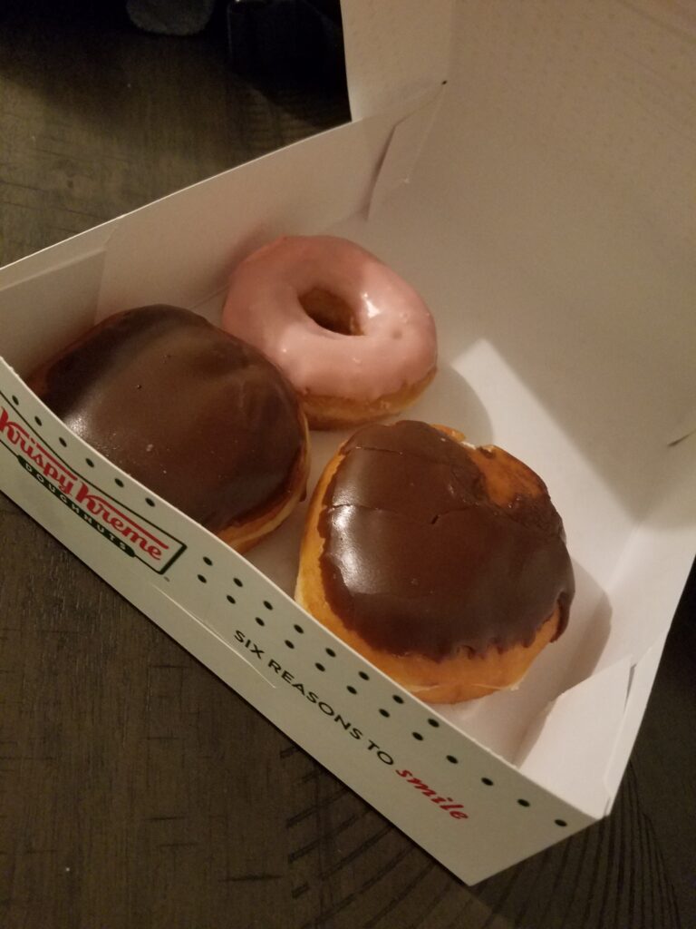
In the mean time, we found a Krispy Kreme that was still open and bought ourselves 3 donuts: one for now and two for a treat somewhere down the road.
3/29/2021: Tallahassee to Lamont FL
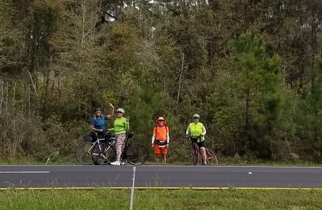
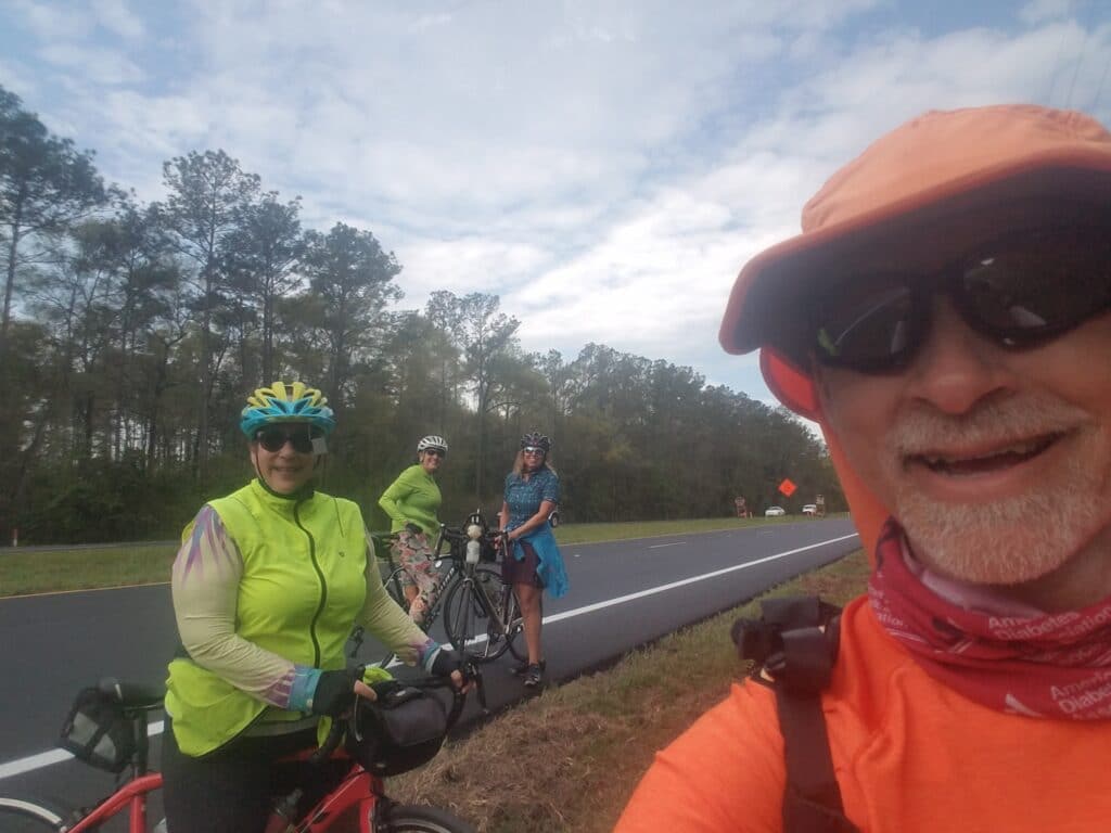
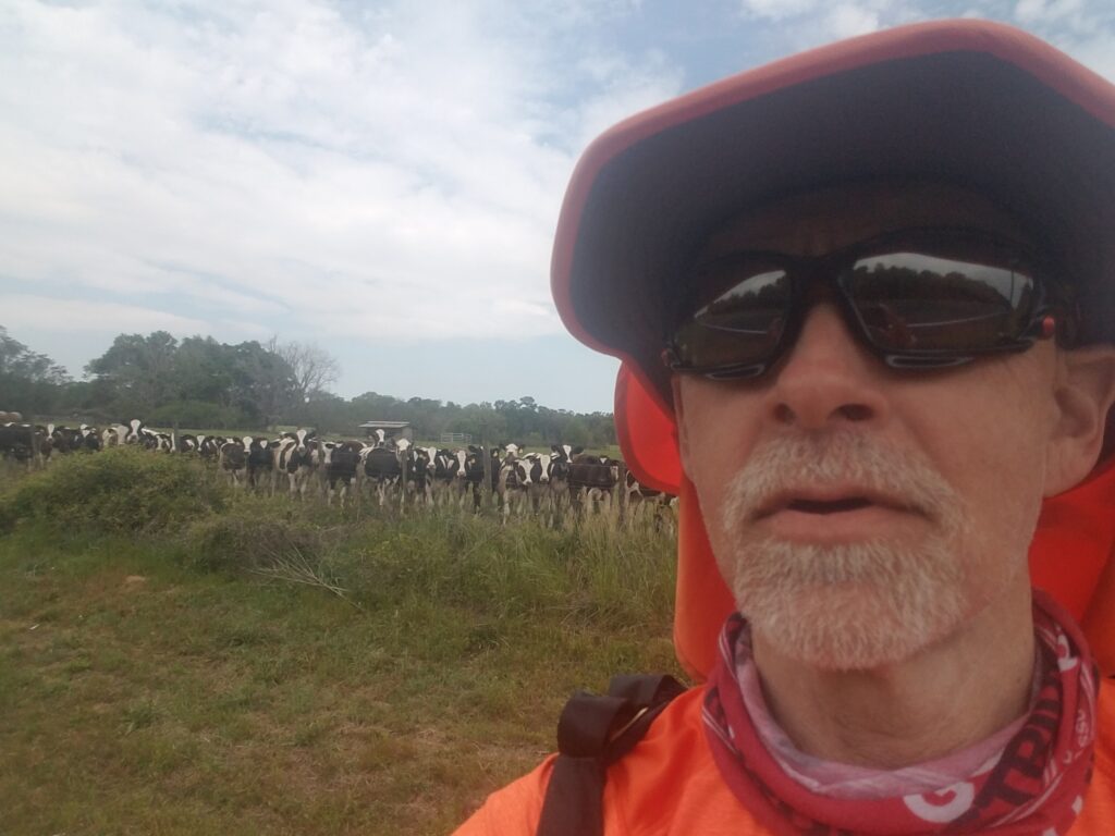
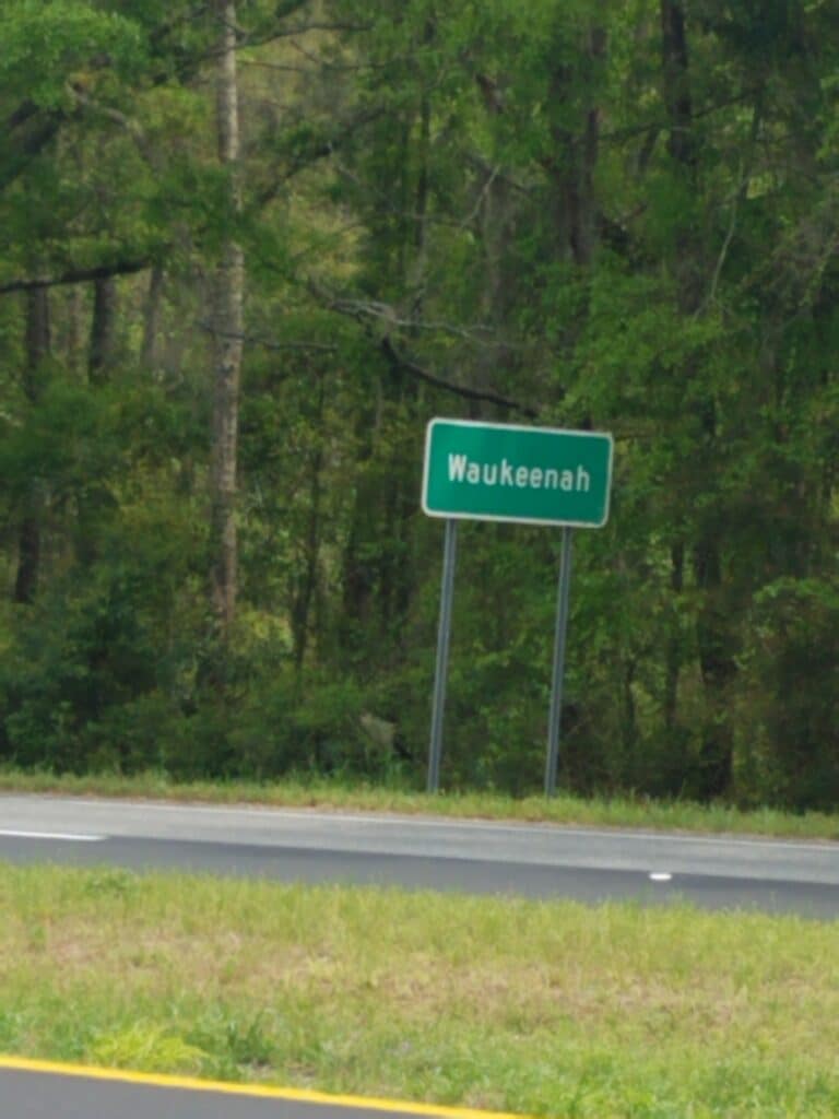
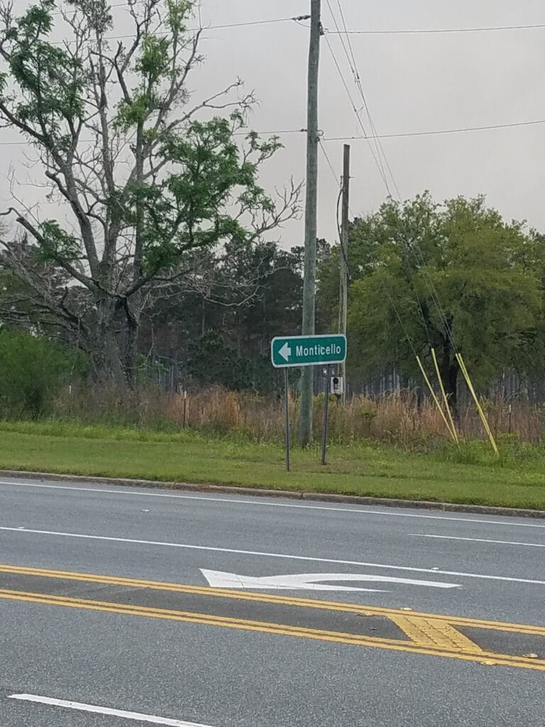
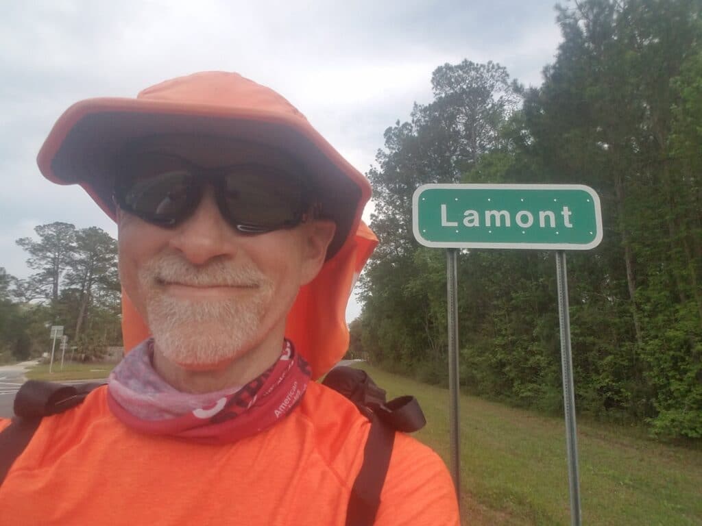
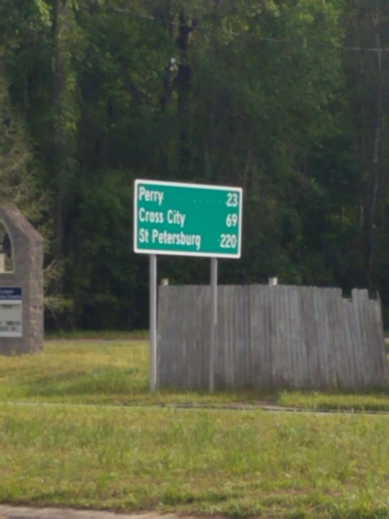
Somehow, after a day of rest, getting up early didn’t seem as bad. Maybe it was the fact that the sun was higher in the sky, but when 7:15 AM came, I was ready to roll.
Just before 9 AM, I spotted a poster that said “Bite Squad.” I am sure that was some kind of Uber Eats arrangement, but I was still thinking about squirrels, and the yard sign made me laugh, especially since I read the sign as “We relax. You deliver.” Yeah, that described the little fellas pretty well. Sit there and everything I put in the bird feeder.
Around noon I ran into four cyclists, and as usual, I greeted them with a wave. One of them recognized me and the connection to Type 1 diabetes and asked if I knew Joanna Southerland-Mele, whose son Phil Southerland formed an all-Type-1 professional cycling team that in 2017 won the Race Across America (RAAM) bike race. Joanna herself is a force of nature. If one person could cure diabetes alone through force of will, it would be her. Joanna was from Tallahassee. I told the cyclists that yes, I did know her, but only on Facebook, and they explained that they were Joanna’s riding buddies. I was excited to meet them, and apparently it was mutual. We chatted for a bit until traffic started to build and we both went our own ways.
A couple hours later outside Waukeenah I was running alongside a long fence when I noticed a herd of cows was following me. I decided to walk over to the fence to see if they were actually curious or just following whoever was running in front of them. It turns out they were curious. I extended the back of my hand toward the fence and a curious cow in the front licked it.
What can I say, I like animals.
I made it to about six miles shy of Lamont by 6:30 PM and to the famous (not really, but by the giant signs you’d swear they were) Walker’s Pecan House and Gas just past Lamont by around 7:45 PM. It was cutting it close, but I had gotten in my 33 miles, my visiting, I was running at a comfortable pace and taking breaks when I needed to, and I was happy.
3/30/2021: Lamont to Pinland FL
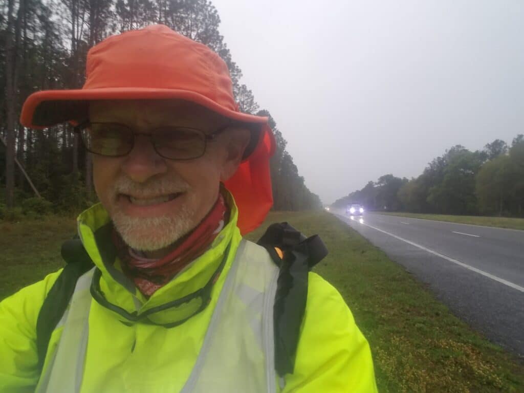
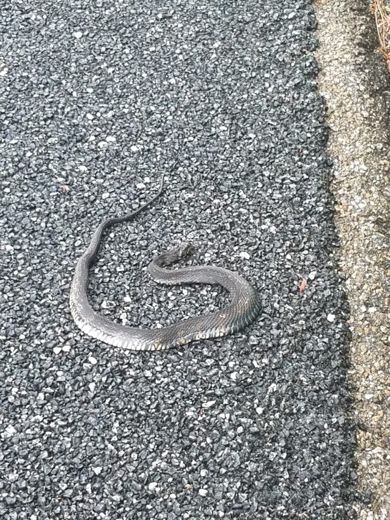
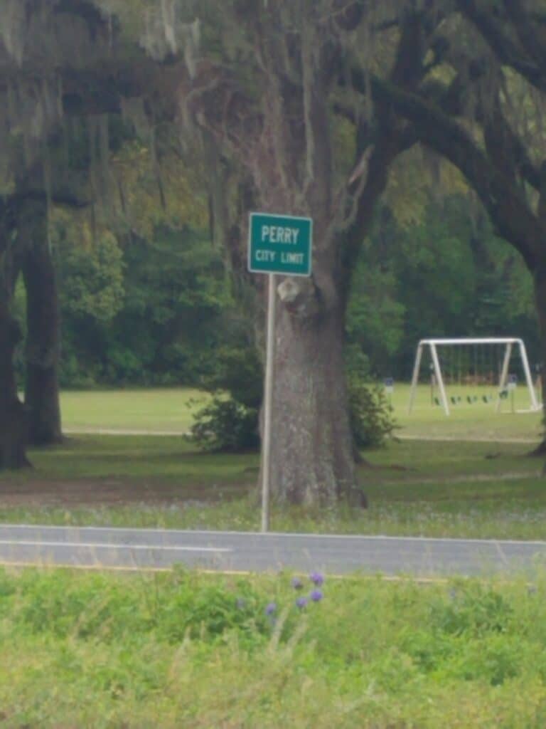
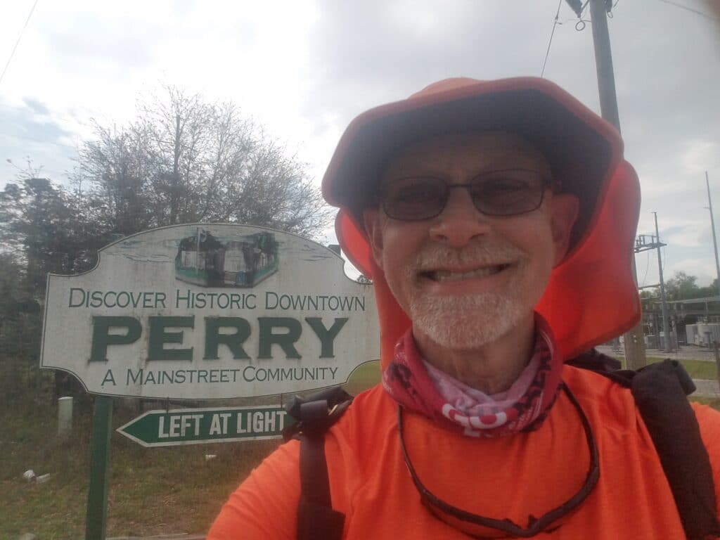
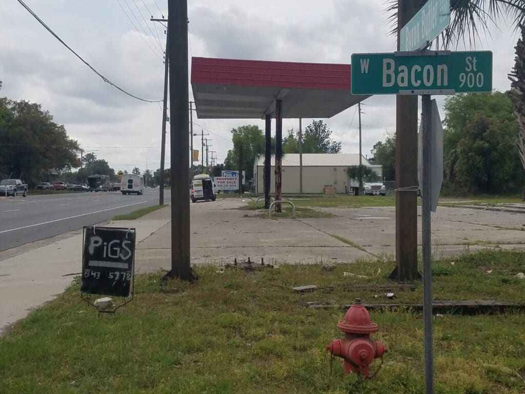
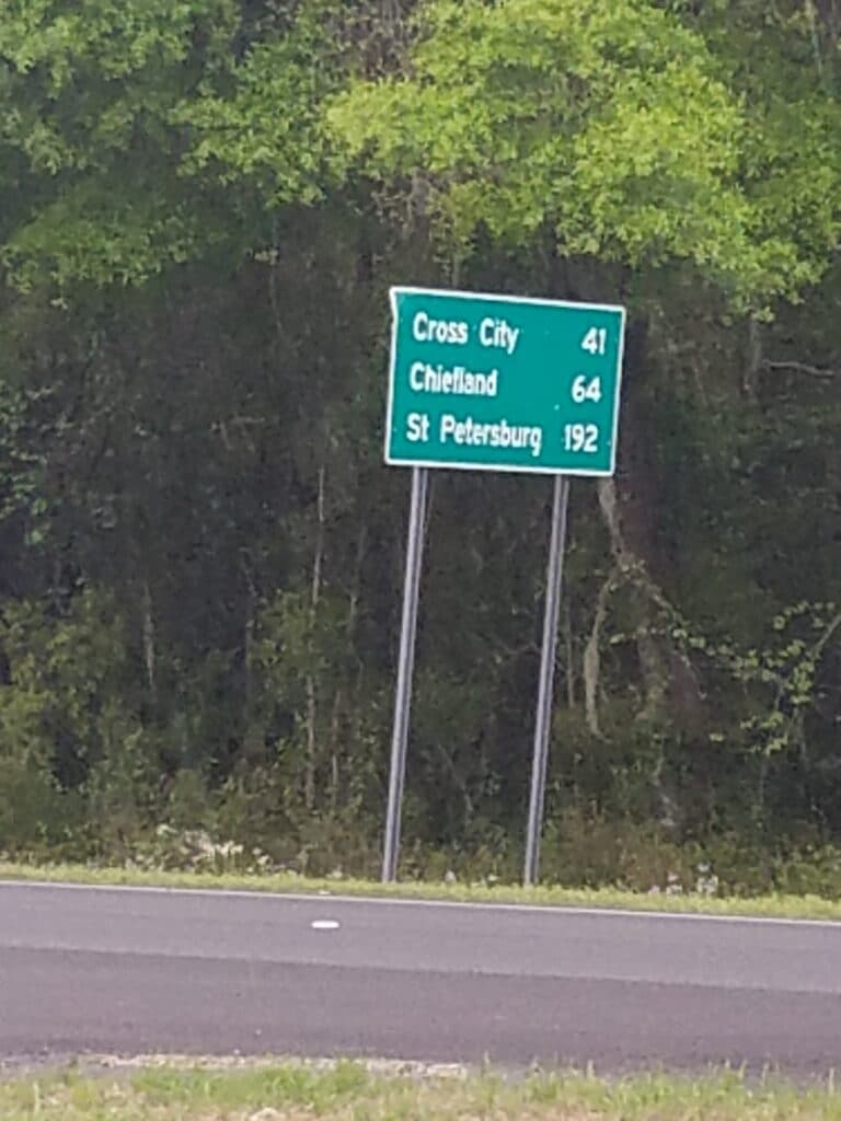
I started at 8:15 AM, considerably later than I usually do. Part of the issue was that as we got into rural Florida, the Air B&Bs were more of a drive to reach, but part of it was that my feet were requiring considerably more attention to get into suitable shape to put back into my shoes. The six blisters I had been nursing (one on each of my big, middle, and “ring” does) were turning into nine: three more had appeared on the inside and one outside edge of my heels. The toe dressings often stayed on for a couple of days, but the ankle and main foot dressings tended to want to be changed every day. I wasn’t exactly liking changing to the new, thinner kinesio tape either. It was taking close to an hour to tape and lube everything and another hour for me to put on the remainder of my gear, and I wasn’t really willing to get up earlier than 6 AM on a regular basis.
The forecast that morning called for light rain all the way into Perry, and it was pretty accurate. Nothing horrible, certainly not the soul-soaking I had gotten outside Tuscaloosa, and some time around noon it receded into the occasional spittle of drops from some random angry cloud.
I began to see more snakes. Looking back, I think I saw more snakes between Perry and Bushnell than I’ve ever seen in my life outside of an Indiana Jones movie.
I reached Perry between 2 and 2:30 PM, depending on which sign you believe. I got a little confused about which fork to take: FL-98, or FL-98-ALT (it was 98-ALT) but managed to sort it out this time based on the vague cues I had left myself after scouting the route months ago. Around 4 PM somewhere on the south side of town I saw a couple of signs that amused me: a sign for someone selling pigs on Bacon Street.
Maybe you had to be there.
Beyond Perry there wasn’t much. By around 5 PM, the weather was looking dubious again and I was somewhere around 28 miles when we decided I wouldn’t get anything much out of several more miles in the rain except wet. We stopped at a business called Wood–I don’t know what they do, only that it had an address on it and I was pretty sure I could find it on Google Maps–and called it a day. We drove ahead to our AirB&B in Steinhatchie, tried to get a good night’s rest, and hoped for better weather the next day.
3/31/2021: Pinland to Cross City FL
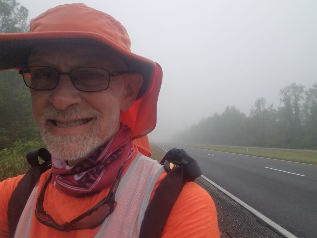
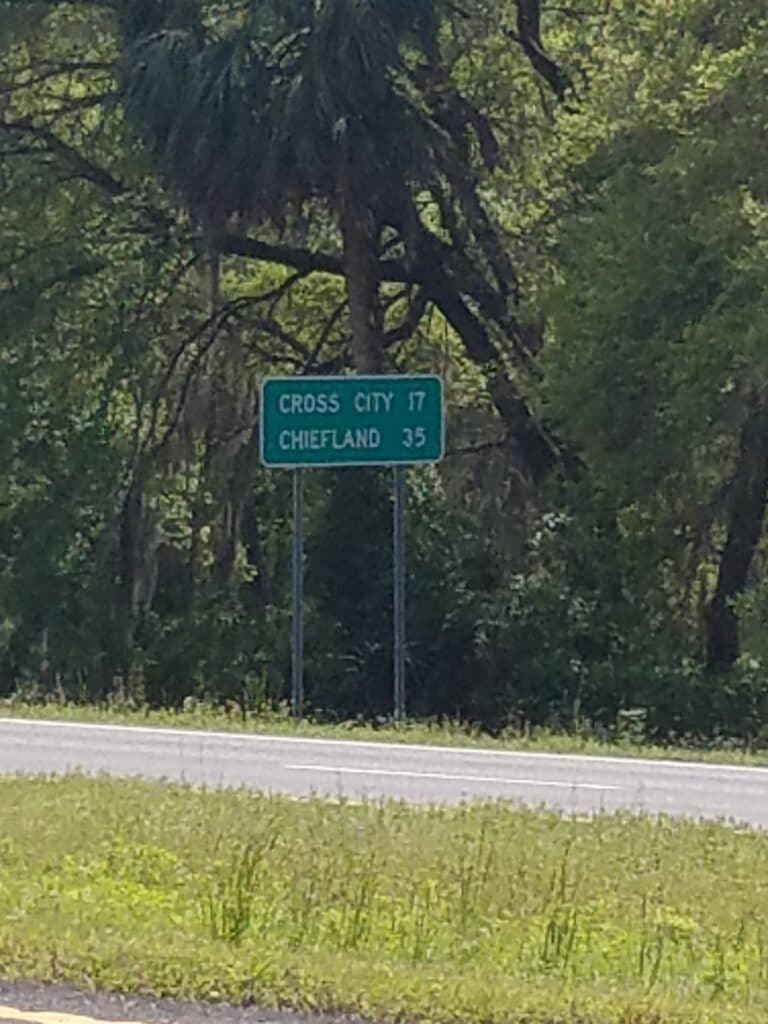
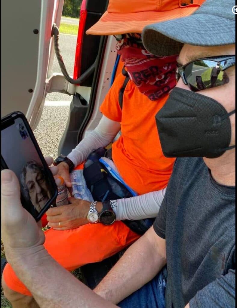
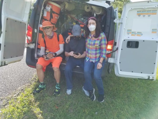
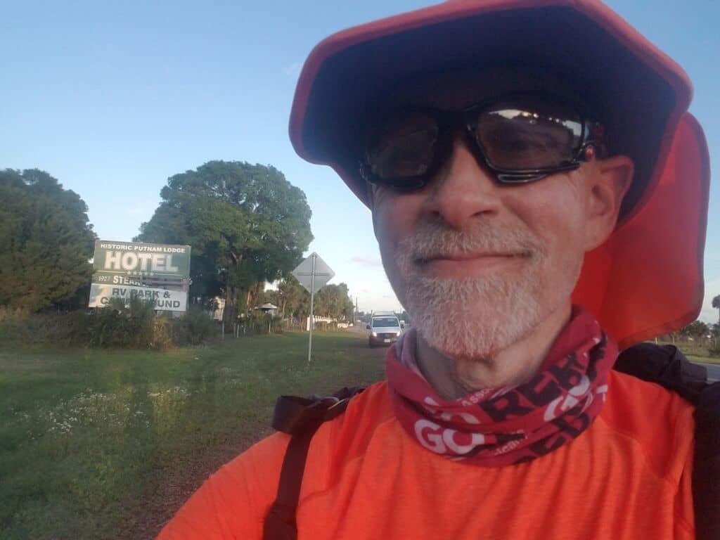
More snakes.
The rain that threatened to come overnight never came, or if it did, never finished. Instead, the morning greeted us with 100% humidity and a thick layer of fog. It was barely 8 AM when I spotted my first snake of the day on the roadside. Visibility was less than a quarter mile until at least 9 AM., but I was determined to get in the miles I had voluntarily given up to avoid running in the rain.
The roadside was a bit soggy, but running in the road seemed like too great a risk to take with low visibility. I alternated between the two to try to keep my shoes from getting soaked, and fell into the habit of not looking down as often as I should have. At one point I tripped over a fallen tree branch about the thickness of my upper arm. It hurt my ego more than my body to faceplant in the mud.
The fog cooked off more or less by 10:30 AM, and by lunchtime I had made it to the Sunoco at Steinhatchie Crossing, the only restroom facilities for miles in any direction. It was also the turnoff for our Air B&B in Steinhatchie. By 3 PM I was seeing signs for Cross City, a landmark I recognized as being thoroughly embedded in central Florida. But Cross City was still 17 miles away and I had maybe another four hours at best. I’d have to run my fastest to make it all the way to town.
I wanted to make it to Cross City. My brother Walt and his wife Lila had messaged us to say that they were going to try to meet us somewhere near there, but as I looked at my watch, I thought at best it would be around 8 PM and dangerous to walk together on the roadside without loading us both up with night gear. I knew they had a trip planned to the area in hopes of catching up with me around Disney World, but the weather delays in Tuscaloosa had shifted our timetable and had quashed those plans since his vacation dates had already been requested and granted.
Walt and Lila came out to meet us around 4 PM, and he walked with me for about a mile. During a food break, we sat down together and Facetimed with Mom. Lila and Walt and Leslie and I chatted for a bit and the time seemed to fly. It wasn’t long before they had to get going again, and I told Walt quite truthfully that it had been one of the best days of my life.
I had been trying to make up time to meet the two of them at Disney World, and it hadn’t been possible. Instead, in their standard relaxed and reassuring way, Walt and his wife had adapted. He just wanted to share the moment.
I wanted it to last forever. But we were both conscious of the passing of time, and after we parted company, I got going again with a renewed spring in my step. I still had a good ten miles to go.
I hadn’t known when Walt and Lila would show up, only that they had planned to catch up with me. I had no real idea of how long we’d spent together. While it was still sunny, I kept doubting I’d make it as far as I had planned. At around 7:15 PM, with the sun casting long shadows on the roadside, I finally made it to Putnam Lodge on the very outskirts of Cross City. We stopped for the day at 37.5 miles. All in all, it was a pretty good day. In fact, they don’t get much better than that.
4/1/2021: Cross City to Otter Creek FL
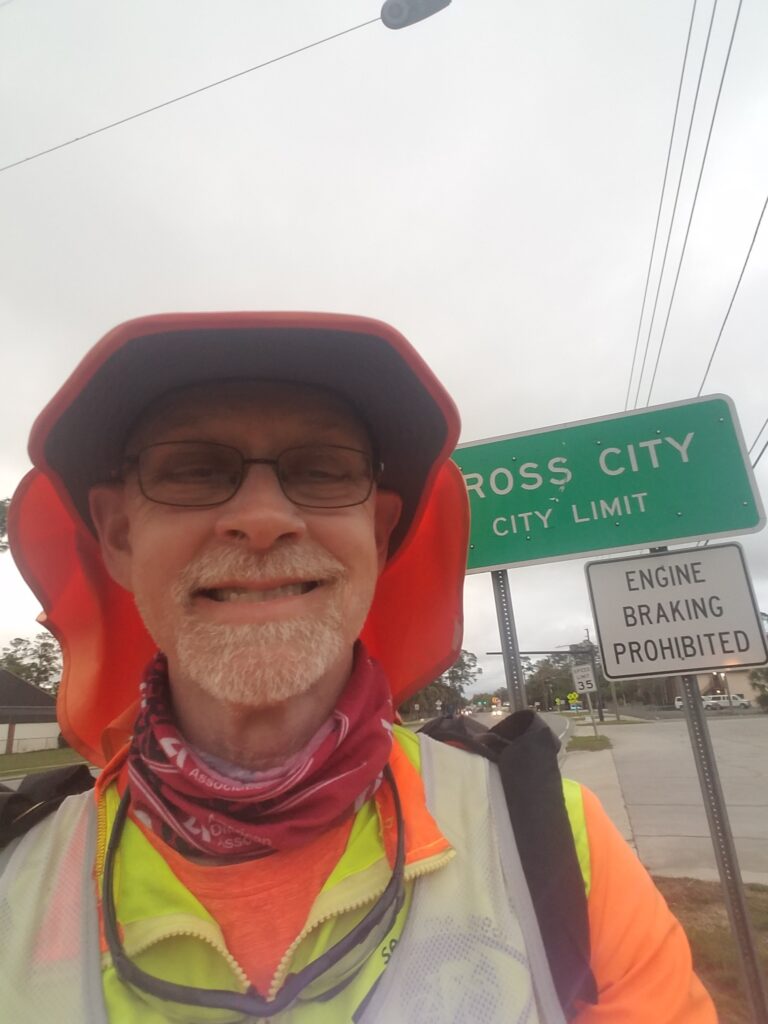
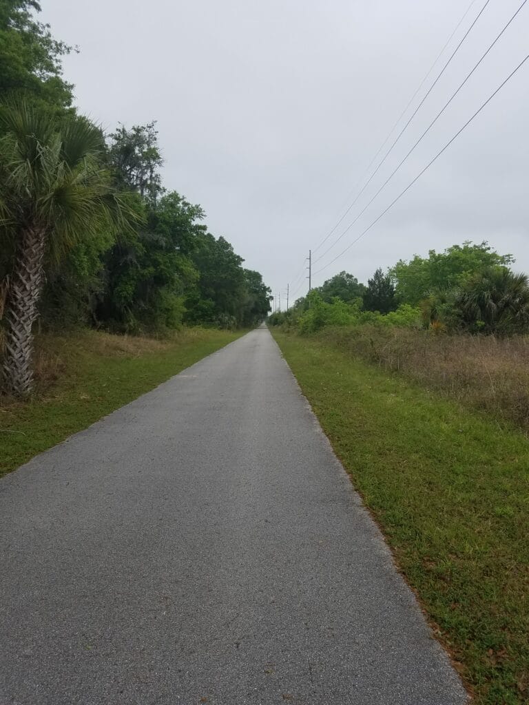
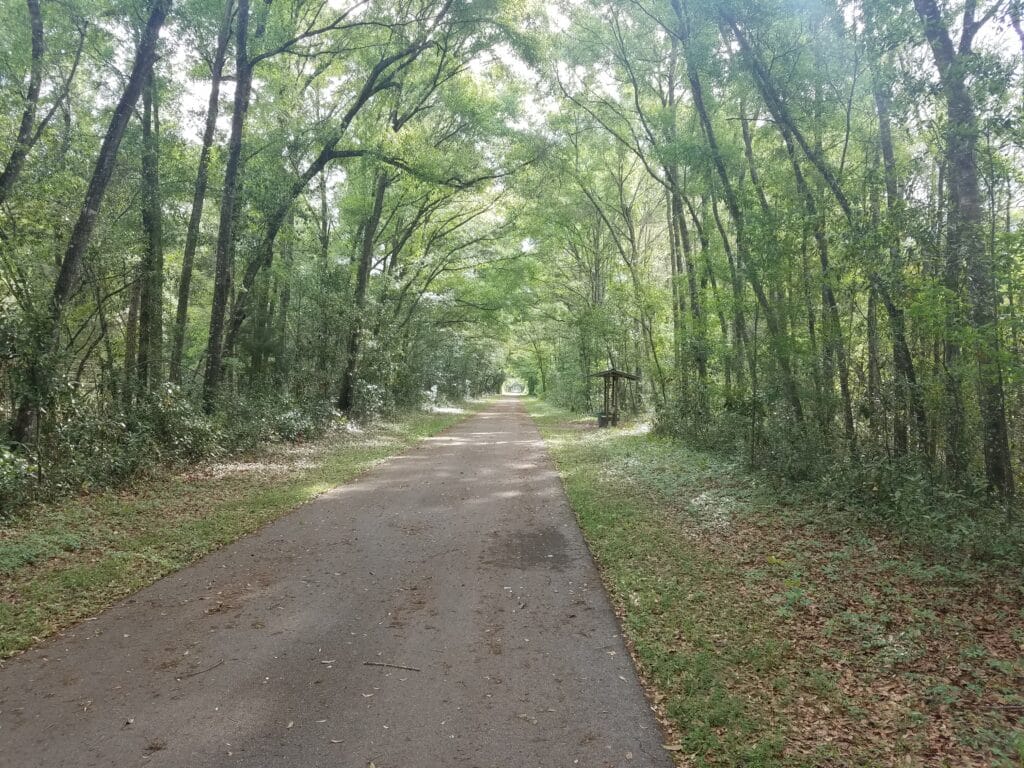
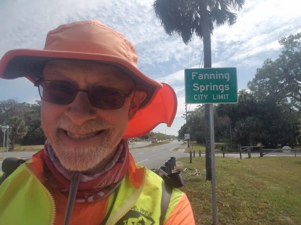
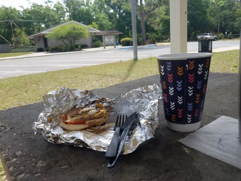
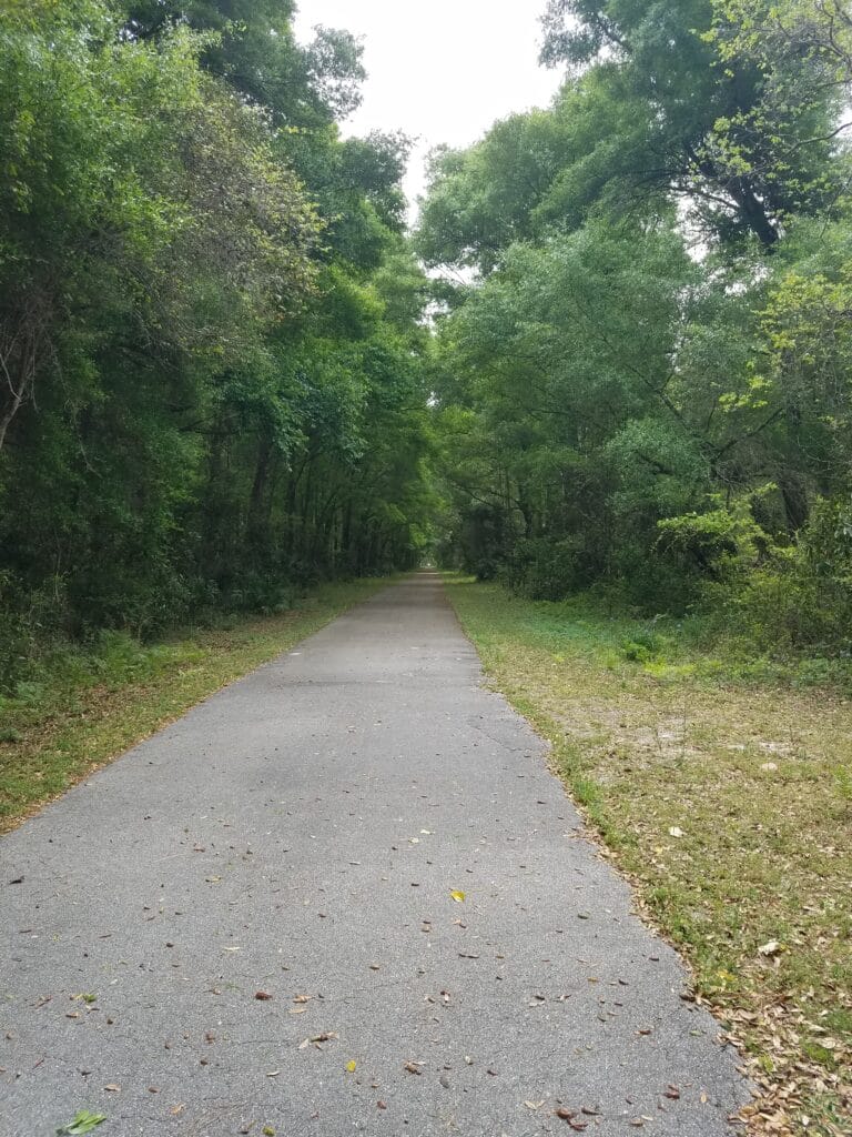
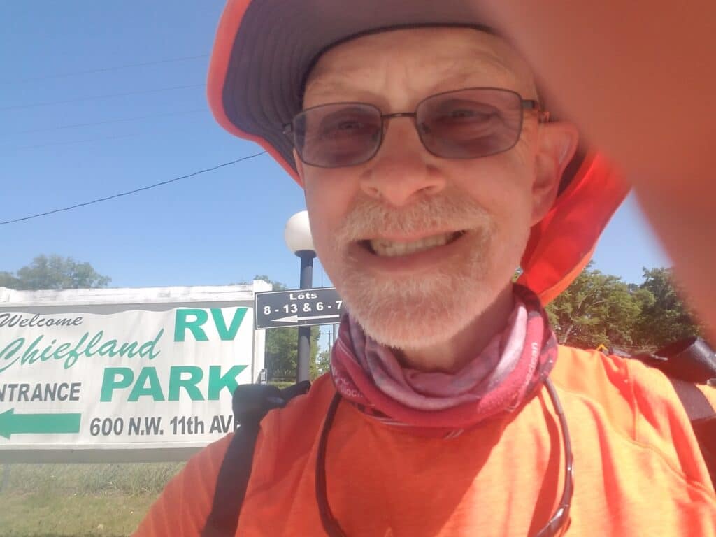
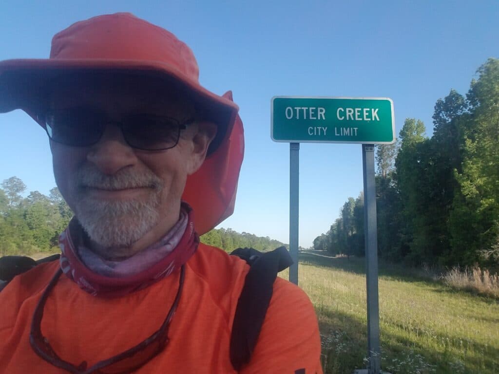
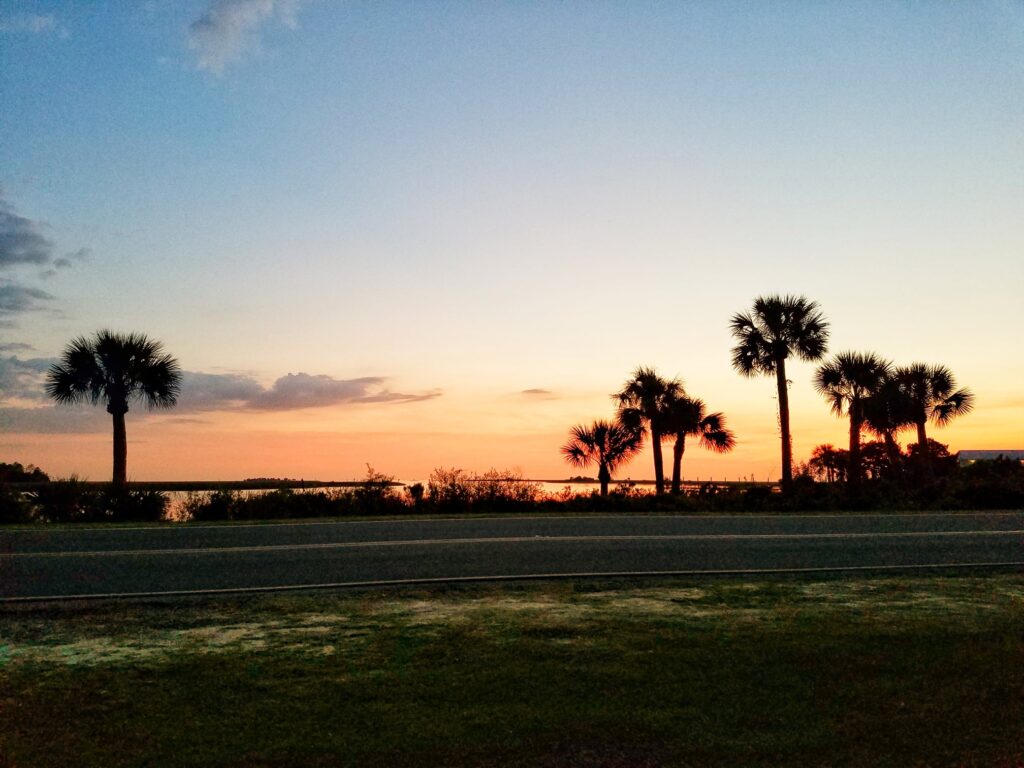
I picked up the next morning in Cross City at 7:45 AM. After the previous day’s weather, it was a bit cool, and I had to break out the windbreaker again. But that didn’t last long. These days, I rarely put on the gloves and mostly used the windbreaker either in the shade or after a cooling rain dropped the temps.
For the better part of three miles, I unintentionally paced some guy with a scraggly beard who walked holding a bag and looked about three sheets to the wind. Wow, was I really going that slowly? Was I taking that many walk breaks?
The Withlacoochee Trail, which until now had been running north of my route and well away from the van, slowly approached the road and ran parallel now. I hopped onto it near the McDonald’s and took advantage of a much-needed break from traffic. It was serene.
During our route scouting trips, we had experimented with following the Withlacoochee in an easterly-then-southerly curve around Fanning Springs, but on a dry run of that section I had experienced a low blood sugar on the three-mile stretch of trail and had gotten suficiently disoriented that I almost headed east onto a 4 1/2 mile stretch into Trenton. We opted instead to change the route so that it crossed a bridge into town and never got that far from the van. The only problem was that the westbound lanes had no shoulder, so I crossed over to the southern side of the road and ran with traffic at my back, something I don’t like to do. But the shoulder there was wide, and around lunchtime, I crossed the bridge going into Fanning Springs and Leslie and I grabbed a bite at the state park just on the other side. It was pretty high-class: picnic tables, shade, and even flush toilets.
About a quarter mile past the bridge, the trail picked up again on the right. I kept trying unsuccessfully to count the cut-throughs to the road that passed for progress markers. I consistently lost count. They were all the same. I recall asking a passer-by on the trail around 3 PM how far it was to the mobile home park on 11th Street, which marked my return to US-27. It wasn’t far. I was in Chiefland. Or at least the Chiefland RV Park.
I wasn’t in Chiefland long. I stopped at a gas station on Main Street and headed south It was another full three and a half hours before I reached Otter Creek around 6:30 PM. The temperature was dropping a little as the trees on the east side of the street cast shadows across the highway. I stopped my watches and tracker and Leslie and I started planning what we’d do for supper, since Otter Creek wasn’t much more than a road sign. But it marked 36 miles, so it seemed like a good place to end the day given the remaining sunlight.
Right at the intersection with CR-24, we spotted Herschel’s One Stop, which was getting ready to close. There was a forty-to-fiftyish-looking lady with black hair, a gaudy coat, jeans and boots who I think was the owner. She was talking to another woman behind the counter who appeared to be cleaning up for the next day. I asked if there was any hot food I could order, and was told that maybe they could microwave some BBQ pork. I took them up on the offer. In a fit of optimism, I bought two port sandwiches and a couple of diet sodas, then went back for potato chips. Anything was better than cold applesauce and Oreos washed down with a whey shake.
Fortunately, CR-24 was also our turn to head toward our lodging in Cedar key: a tiny house built from a shipping container, parked permanently in an RV park at the water’s edge on Florida’s west coast. We got there right around sunset, COVID-cleaned the house’s blissfully small square footage, unloaded our overnight bags and the next day’s gear, and I sank into a hot shower and bed.
4/2/2021: Otter Creek to Citrus Springs FL
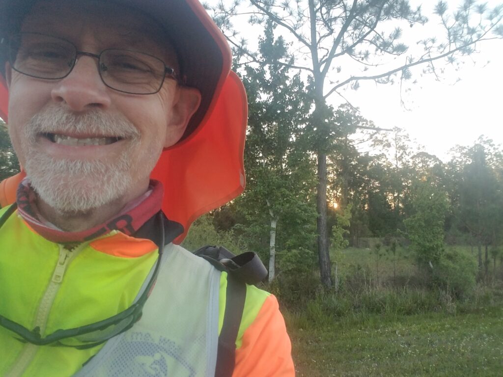
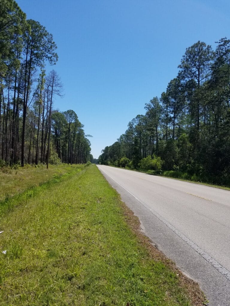
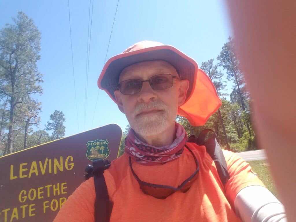
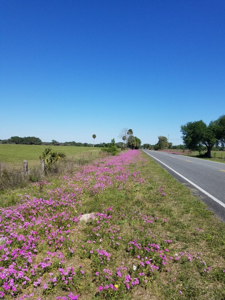
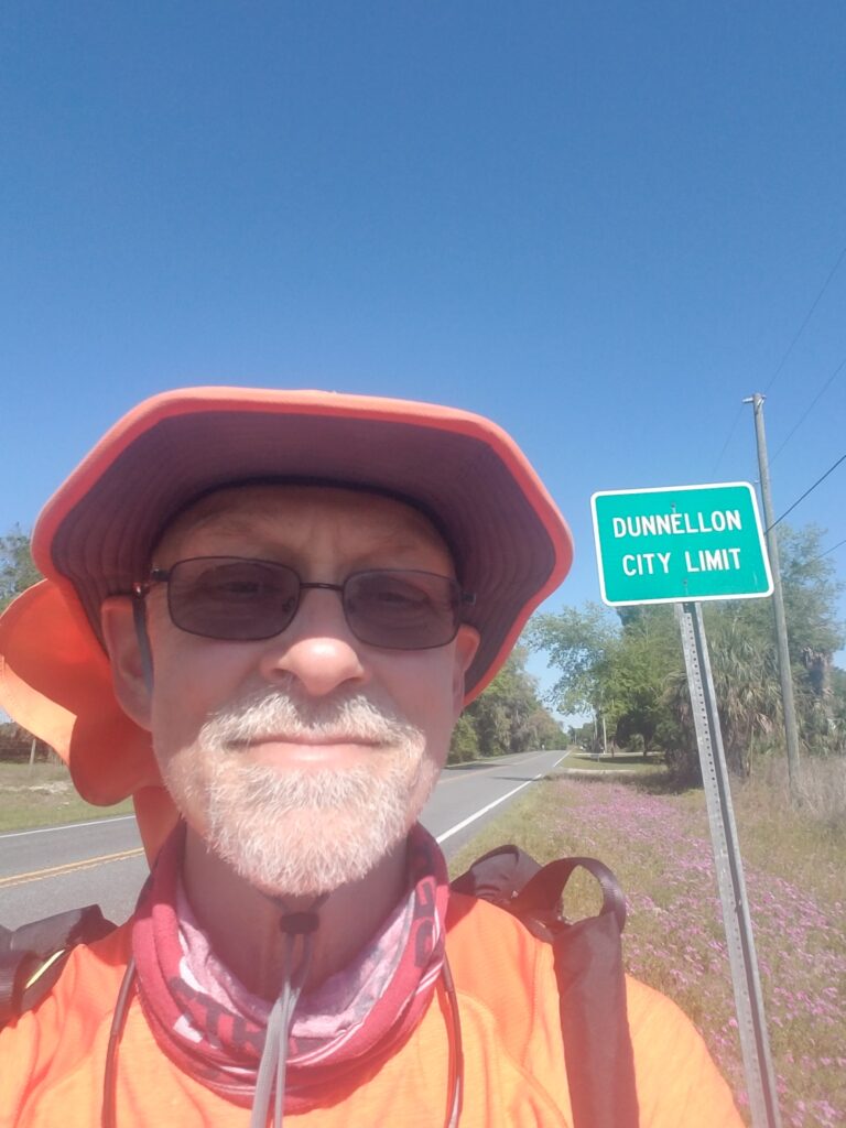
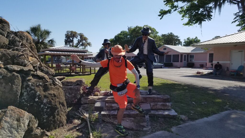
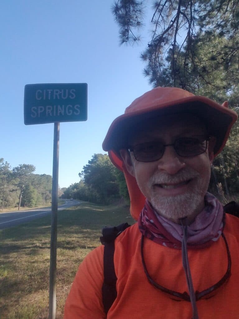
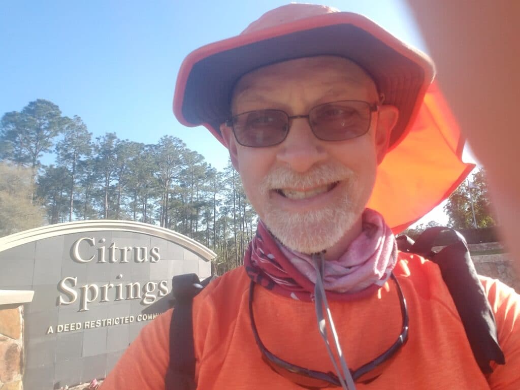
It was a bit of a drive from Cedar Key back to Otter Creek, especially with the extra time we took to make sure my feet were in decent running condition. Pretty much everything was being taped now. I started the day around 7:45 AM. The air was cool and I ran a wonderfully flat section of roadside along US-98. A row of trees on my left blocked the sun a bit and kept it cool for longer.
About 15 miles in, the road forked, with the right side continuing on US-98 and the left side turning into two-lane and heading straight along CR-336 into the Goethe State Forest (the locals pronounce it go-thee, not like the name of the German philosopher). Goethe was a mixed blessing. IT was quiet and serene, except when it wasn’t. And then there weren’t many places to safely step off the road. The shoulder wasn’t developed enough to make running in the weeds safe for a non-technical runner like me, so I took to walking the weeds when there was a burst of traffic. At least the day was clear and the temperatures pleasant.
At lot depended on whether the wind was blowing. Even in early April, the Florida sun can pile on when there’s not a breeze. The winds were actually fairly strong for a good part of the day, so I ran with my hat’s neck cord cinched.
We took a late lunch around 1:30 PM at a rare pull-off near the intersection with CR-337.
Once I got out of the forest–this time without the feelings of claustrophobia or disorientation I had had in Ethelsville AL–the roadside was dotted with long swaths of purple flowers and palm trees in the distance. That was the good part. The bad part was that the shoulder of the road heading into Dunnellon was steeply sloped and knee-deep in weeds. The road was busy and it was almost impossible to run any distance without having to take a steep step down. I kept feeling like I was going to roll an ankle.
Eventually CR-336 dumped me onto CR-40, which becomes Cedar Street going into Dunnellon after a curve to the right and south, and it is right around there that the roadside finally gets sane again–at least by my road-running standards. I reached the Dunnellon city limits around 4 PM, and in another half hour the actual downtown.
In Dunnellon’s downtown, Cedar Street intersects Pennsylvania Avenue, also called CR-484. At the southwest corner is a statue of the Blues Brothers. You know I had to get in that shot. And I’ll tell you something else: jumping and prancing like that hurt.
We chatted briefly with a man who ran the business on whose property the statue had been erected. He was used to taking photos of strangers and snapped a few more of Leslie and me. I grabbed a quick snack afterwards and continued along Pennsylvania Avenue until I reached US-41 / Florida Avenue. I turned south there and continued. Once out of Dunnellon, the shoulder of 41 turned into a wide but steeply sloped grassy berm. There wasn’t much shoulder, so I ran along the flattest part of the bottom I could find. It was another four miles until I reached the suburban-looking entrance to Citrus Springs around 6 PM. While I was doing well and could have gone longer, there weren’t many good markers after Citrus Springs I could reach before sunset, and I didn’t want to run on the trail heading into dark, as it would have compromised Leslie’s ability to reach me (even if she could locate me with the tracker) in the event of a low blood sugar emergency. Leslie and I both felt that combined with the busy traffic and narrow, it was a better idea to make an early end to the day. I stopped at around 33 miles, next to Citrus Springs’ tennis courts and just past the ever-present Withlacoochee Trail.
4/3/2021: Citrus Springs to Bushnell FL
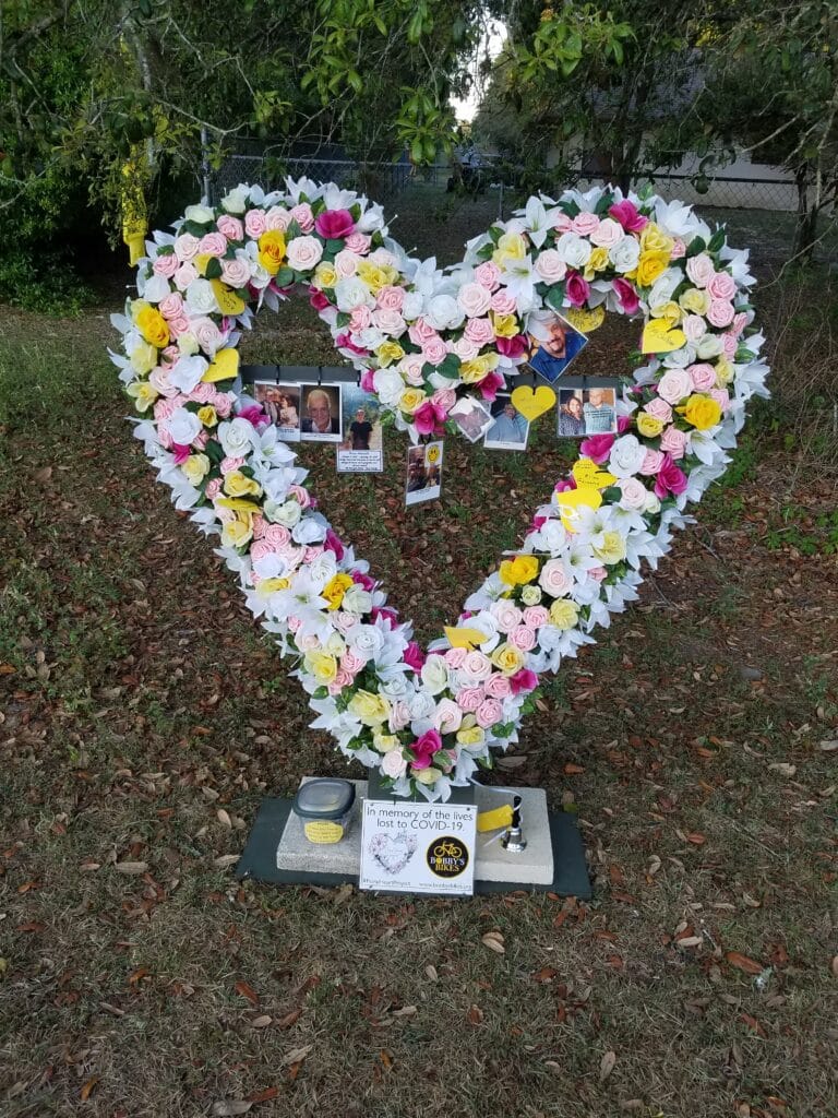
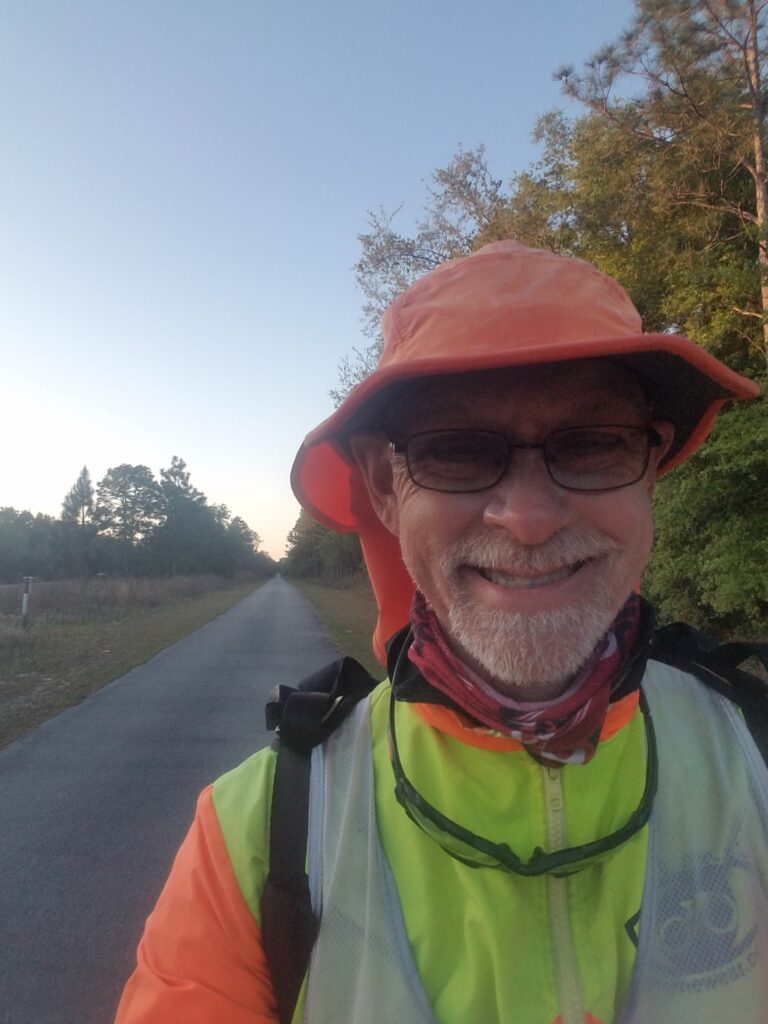
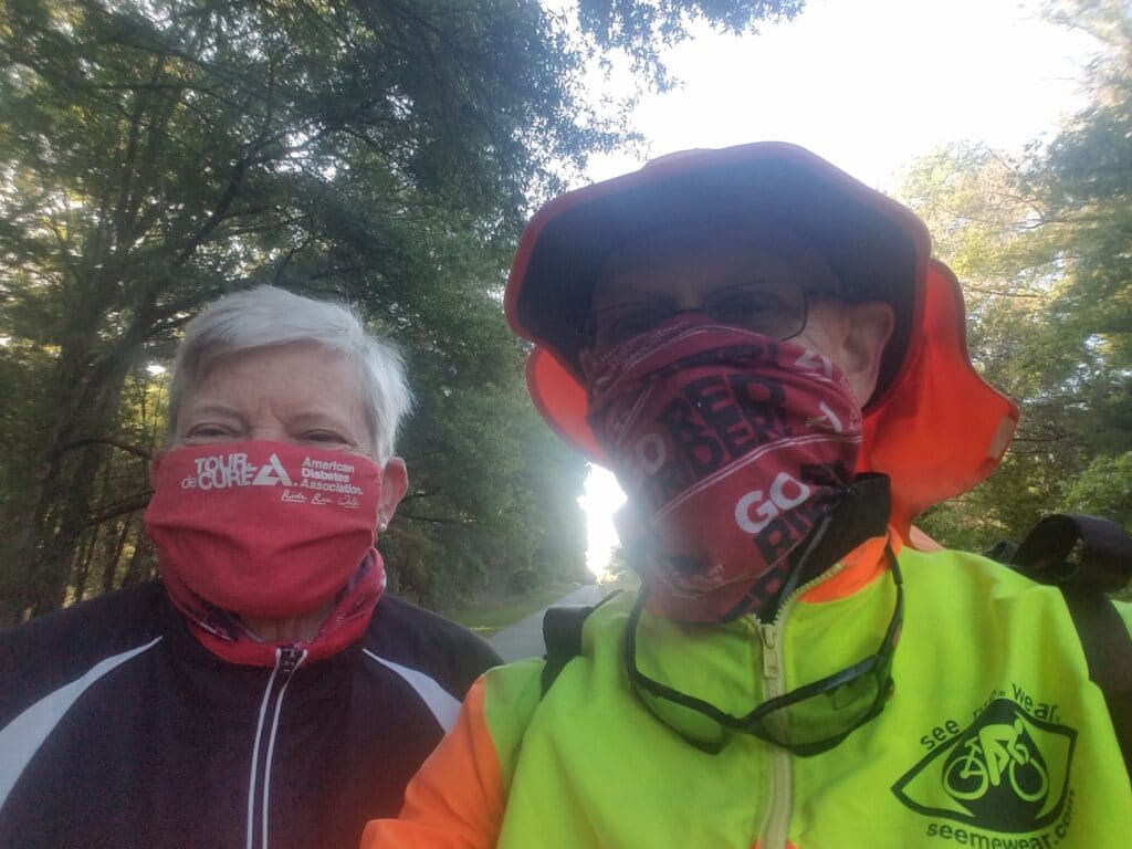
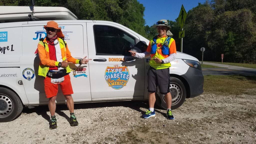
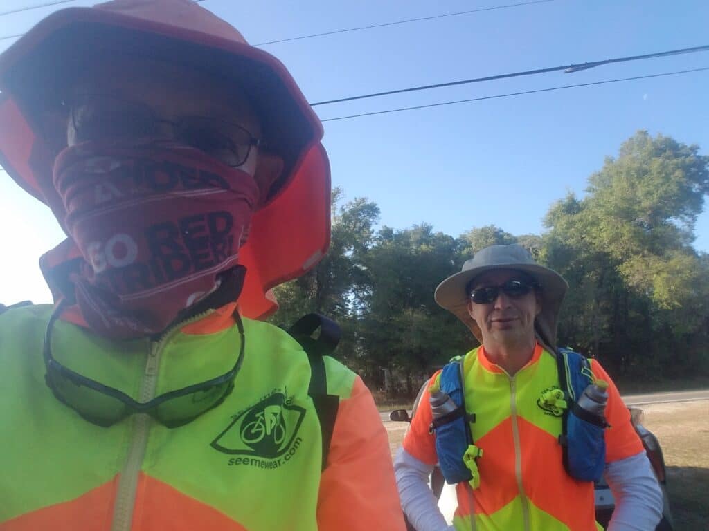
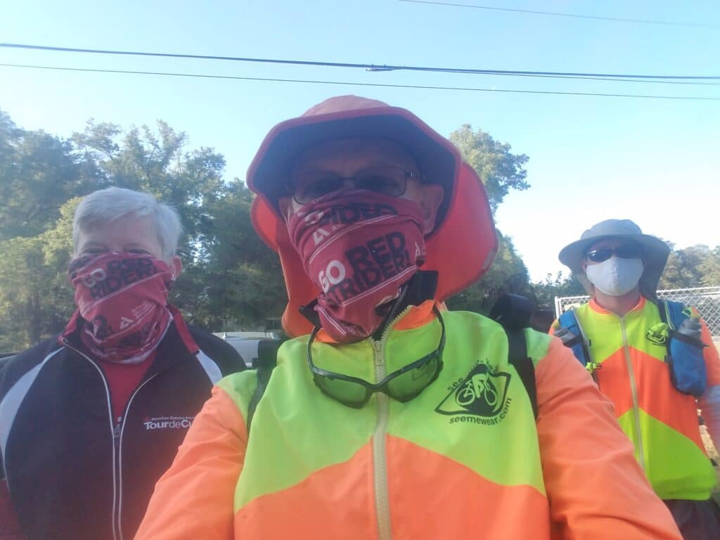
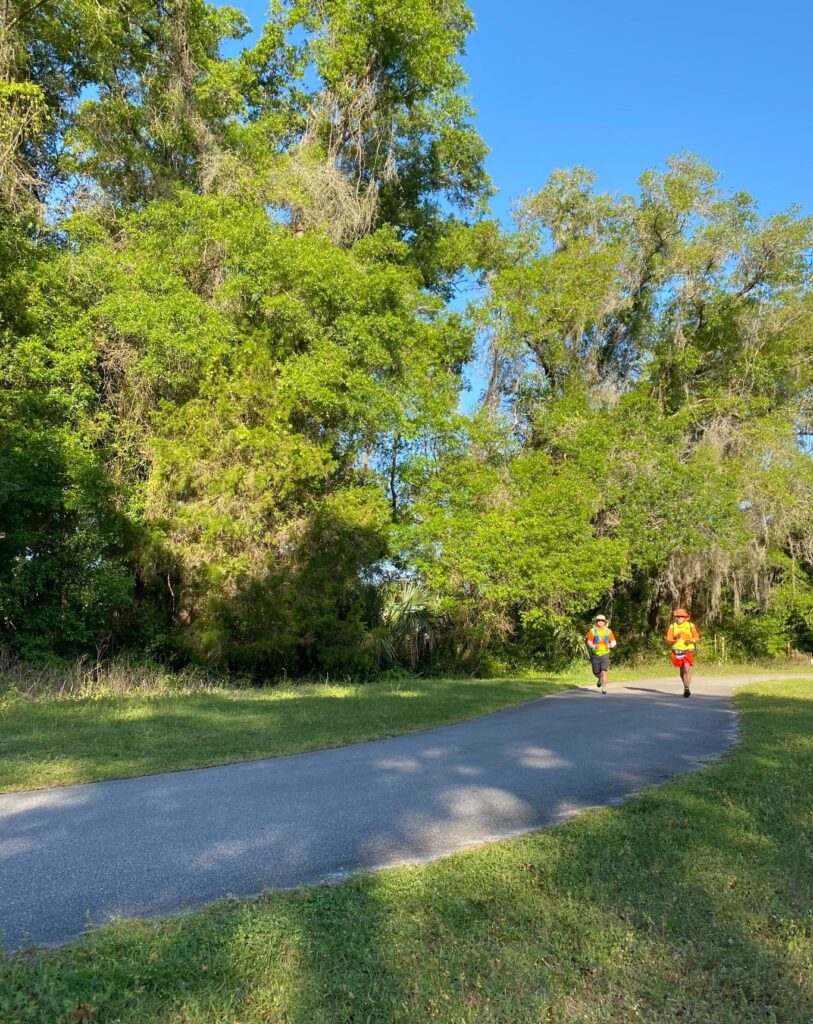
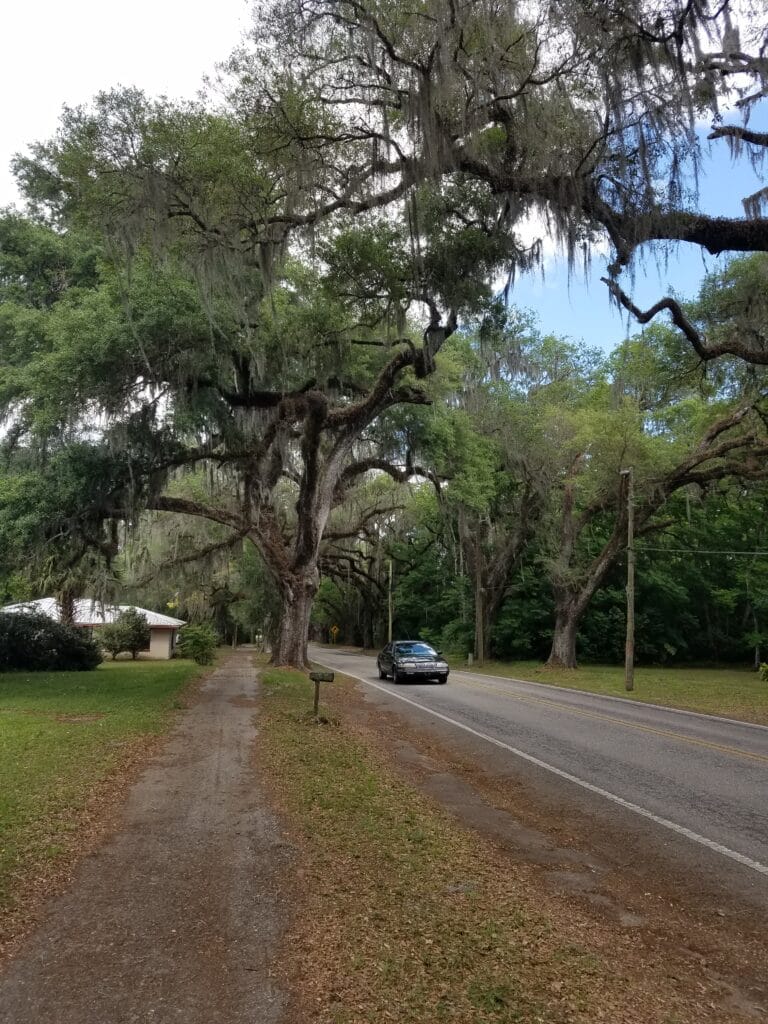
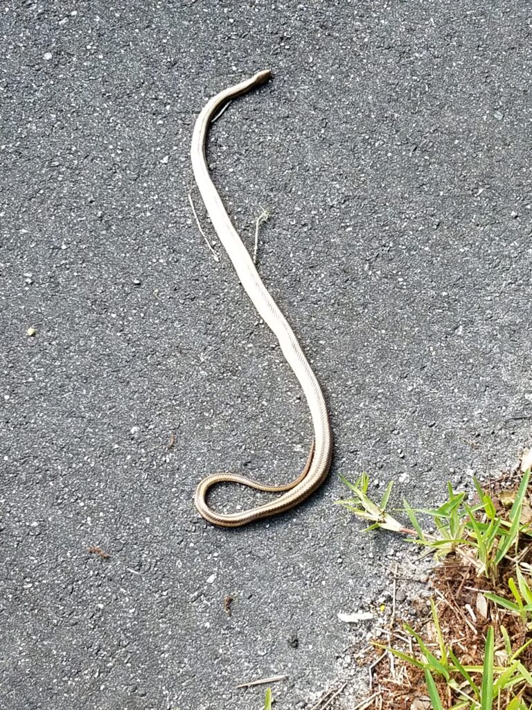
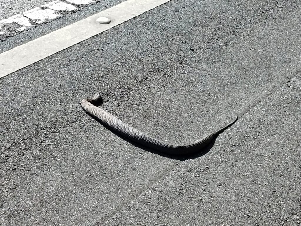
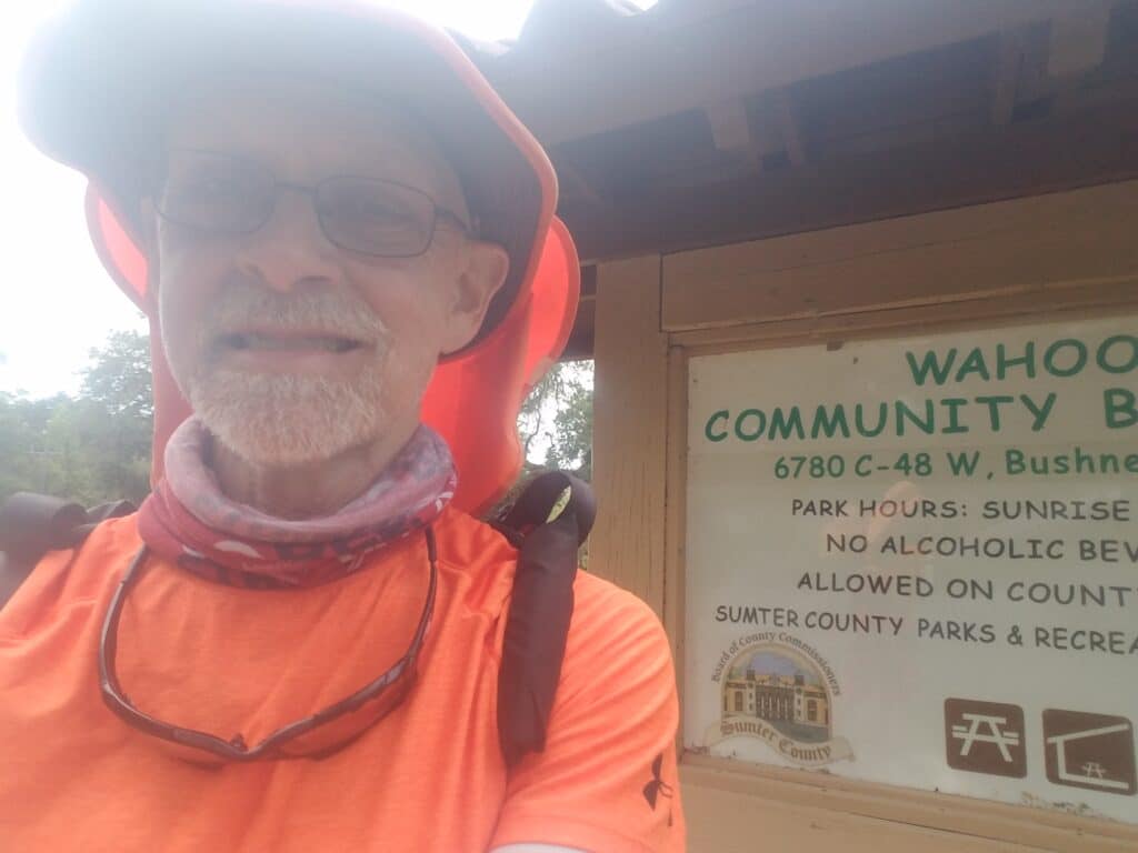
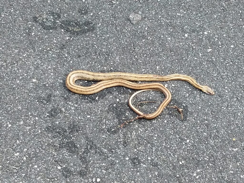
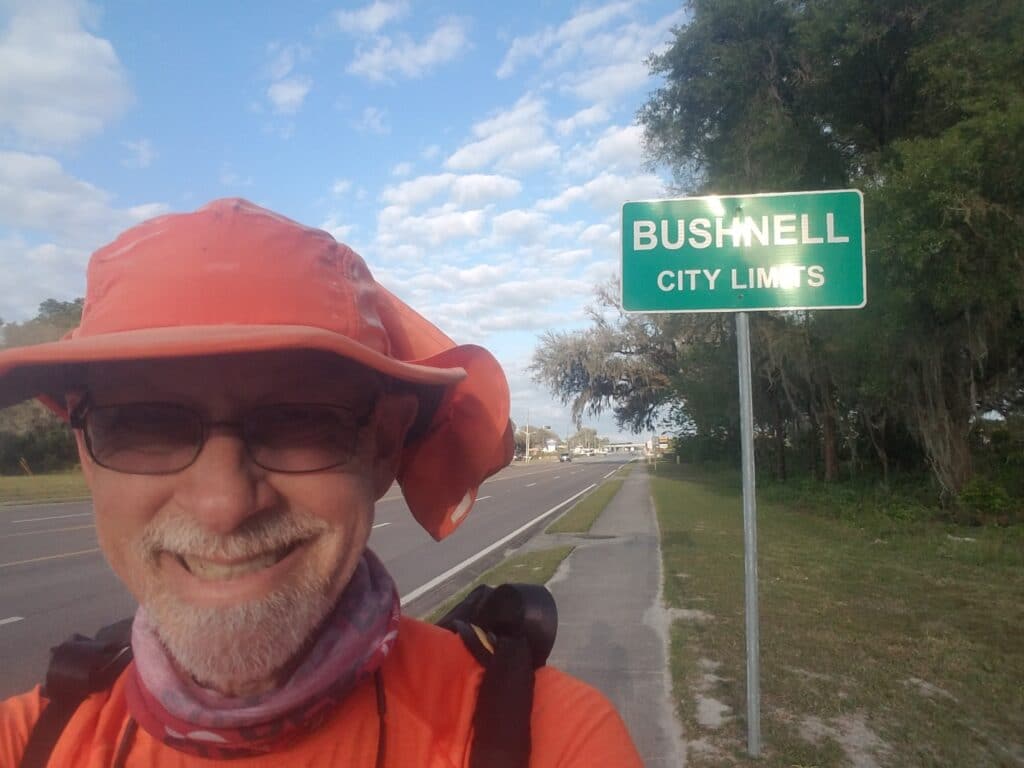
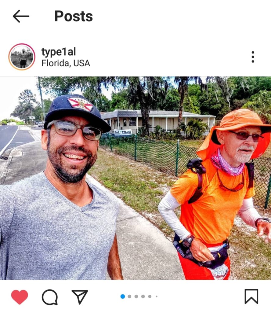
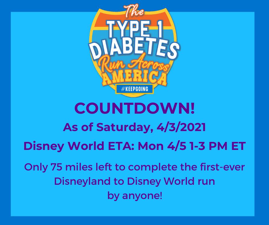
I jumped back on the Withlacoochie Trail around 7:30 AM. I took advantage of the one restroom I found on the trail, and as I was returning to where Leslie had parked the van, a woman approached us and handed us a handful of money and apologized for the fact that “it wasn’t much.” Once she had left, I looked in my hand. She had given us $100. Just because of what we were doing.
A little farther down the trail, a local bike shop, Bobby’s, had placed a heart-shaped memorial on the trail to commemorate lives of neighbors taken by COVID-19. I thought: how things have changed. We had started the Type 1 Diabetes Run Across America way back on February 1st, 2020, before COVID was anything but some distant outbreak happening overseas. It had swept the US a month later, causing runs on grocery stores, shortages, and the first wave of deaths. It had forced us to pause the run–twice–and even now we were proceeding with caution. But the world was slowly normalizing as people got vaccinated. I had gotten mine in January; one of the few advantages of living with a chronic incurable health condition was that you got to move to the front of the line on hard-to-get vaccines, right after health care workers and first responders. Now more than ever it was important to stop and remember that the virus had killed over 3 million before it finally seemed to peak in February and start weakening as vaccines rolled out to more people.
What a year this has been, I thought, then moved on down the trail. At around 8:40 AM I ran into Heather Nagy. Heather is not only the publicity manager for the Withlacoochie Trail, but a fellow diabadass who has a rare form of autoimmune polyglandular Type 2. She’s also captain of Team Red Florida, the “house” team for the American Diabetes Association’s annual Tour de Cure fundraising bicycle rally. Lately, the rides had been virtual and some of the feeling of community gets lost in the shuffle. Seeing Heather with her Go Red Rider neck gaiter and cowbell brought a smile to my face. Heather and another “red Rider” (cyclist with diabetes) and Team Red member, Erik Hougland, had been pressing a campaign to generate interest for the run as we got closer to the coast.
Heather ran with me for about a mile. About ten minutes later, we ran into John Murray. John and I are cut from a the same cloth: both ultra runners, both big fans of SeeMeWear‘s visibility gear, and both fans of boonie hats with detachable Kalahari flaps (not that I ever detached mine) like the Shelta Raptor 2. When I saw we were dressed similarly, I laughed. Heather headed off to other things, and As John and I talked, I learned that like me, he had studied Mechanical Engineering in college, and that like me, he had hated it. Talk about a “brother from another mother!”
John ran with me until around 10:30 AM or so, when we reached the cut-through at the Sunoco just past Hernando, where where it made sense for me to get back onto the road shoulder, as the trail eventually diverged significantly in a direction I didn’t intend to go.
As I continued running toward Inverness, I noticed the road getting busier and the shoulders got worse. I had gone about a mile past Independence Highway, which was supposed to be my turn. The day was supposed to be 35 miles, and I had just turned it into almost 37. I backtracked to the traffic light and took the turn I had missed, and about two miles later around 11 AM as I entered Inverness, I ran into Alan Roig, another Type 1 athlete and “diabadass” (a term many pf us T1Ds use to describe another who is achieving difficult things despite the disease).
So…there seems to be a curious handful of facts about us Type 1s. The first is that the onset of our disease, which appears to be linked to genetic miss-programming in the immune system, is often triggered by stressful events. That can be anything from influenza, as in my case, or COVID, as in the case of the young lady I met in Columbus, MS. Perhaps even psychological stress, such as the death of a family member. There’s not much research data to support it, but it’s plausible. But there’s another kind of stress, physical, which I’ve sometimes suspected might be involved as well. There are quite a few other Type 1s in ultra running communities like the Facebook groups Trail and Ultra Running. It raises the question: are people like John, Alan, and me surviving and achieving epic things despite the disease? Or is the stress of doing epic things triggering an inappropriate immunological reaction that gets the disease started? Since asking myself this question years ago, I’ve become more and more interested in the intersection of stress and the immune system’s response to it.
Alan picked up running with me as I slowed down at the gas station before the turn onto CR-44 / Gulf to Lake Highway. He ran with me for what I think was about ten to eleven miles. We spotted an old Lotus on the side of the road, then as usual, Inverness petered out, turned back into the usual questionable road shoulder.
Around 3 PM I entered Floral City. Floral City is interesting. According to a sign I spotted, the town had been founded in the 1800s as a phosphorus mining down. It supplied phosphorus to the US military during WWI, but when the war was over, the bottom dropped out of the market. The town was flush with cash and spent a good bit of it on improvements to community buildings and services. It flourished as a sort of minor tourist destination, and people built new houses. The town’s main street, Orange Avenue is lined with ancient trees planted during the town’s founding, and numerous well kept residences dating to the 40s and 50s, including some impressive midcentury and craftsman-style houses.
Past Floral City the road got rural and a bit swampy. I spotted 3 snakes in just a few miles, especially around Papaw’s Country store, just across the bridge over the Withlacoochee River. Because of that, the road into Bushnell was a bit hard to run, and seemed to last forever. I avoided the grass when I could and tried to run in the road or the shoulder, but it was a pretty narrow road in a section that had numerous long-ish bridges.
Around 5 PM, as I got closer to Wahoo, the road got worse. The one silver lining was that there was a community center on the left side of the road that had a restroom. Past the community center the road curved left around a blind turn, and I was forced to walk under some low-overhanging trees and behind a guardrail to avoid being hit. I kept a keen eye for snakes, and I guess I just got lucky. Eventually the road straightened out again, but there was no shoulder whatsoever and I found myself bushwhacking through knee-high weeds again, on a slope, in an area known to have snakes. I was relieved when the road straightened out again and the shoulder got wider and flatter. Around 6:30 PM, I could finally see the overpass for I-75 and I knew I was almost there. Supper wasn’t far away. I stopped and shut off my electronics at the Microtel and called it a day. 36.5 miles, including the wrong turn.
And for the first time, with only two days to go to Disney World, we finally put up an Estimated Time of Arrival. Leslie posted it to some Disney Run fan communities, and feeling like our rules about avoiding meetups had mostly served their purpose, we sat back to see if anyone wanted to join us on the last few miles.
4/4/2021: Bushnell to Clermont FL
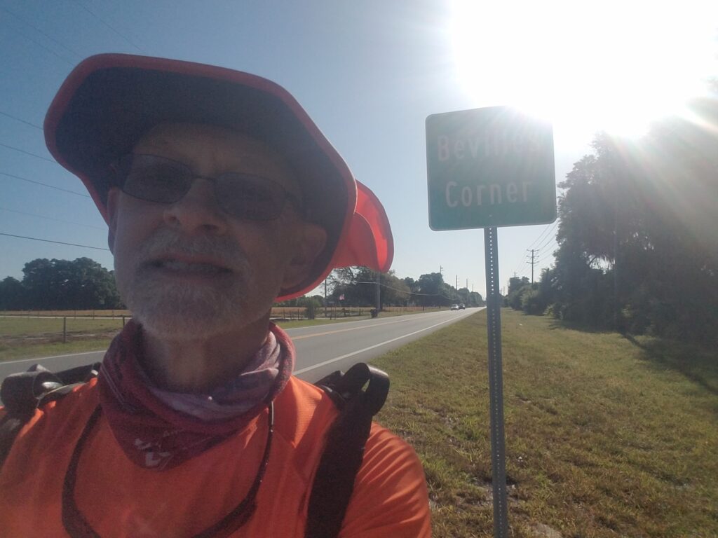
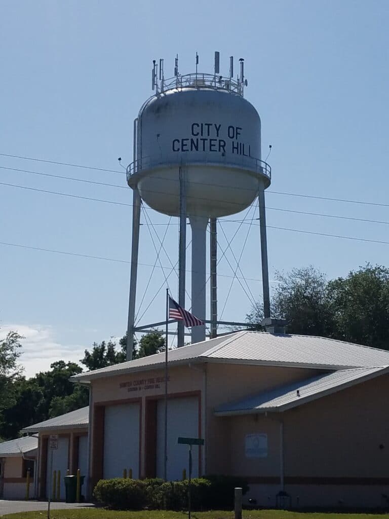
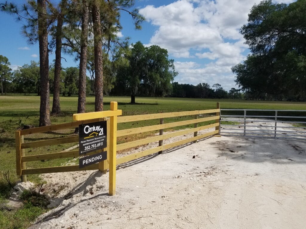
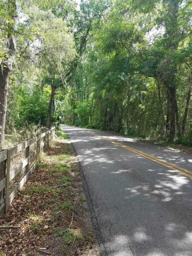
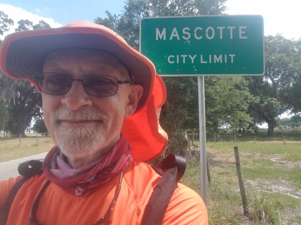
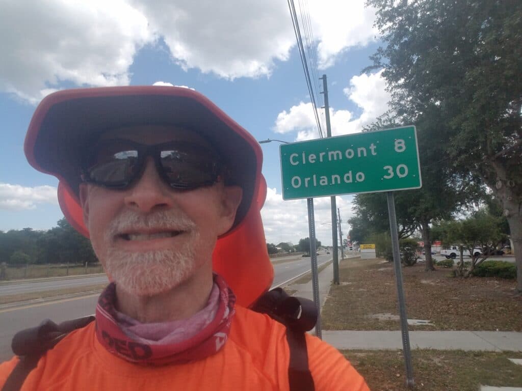
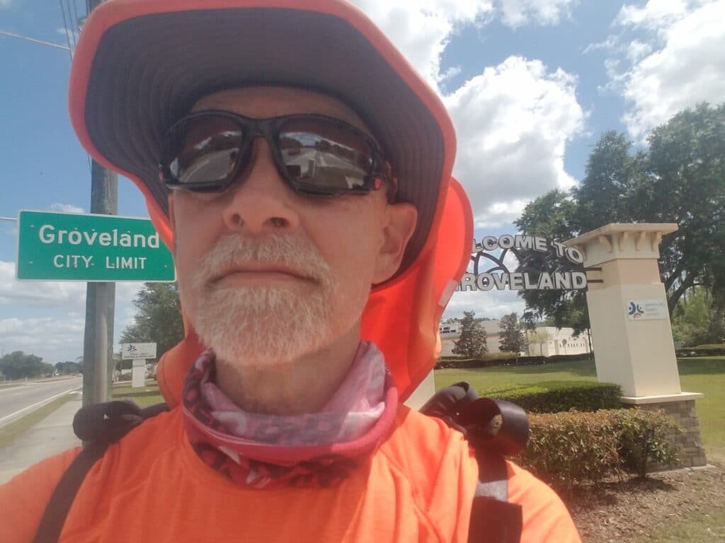
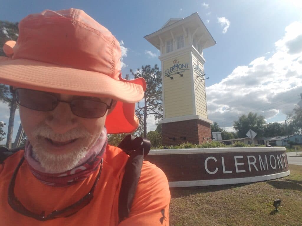
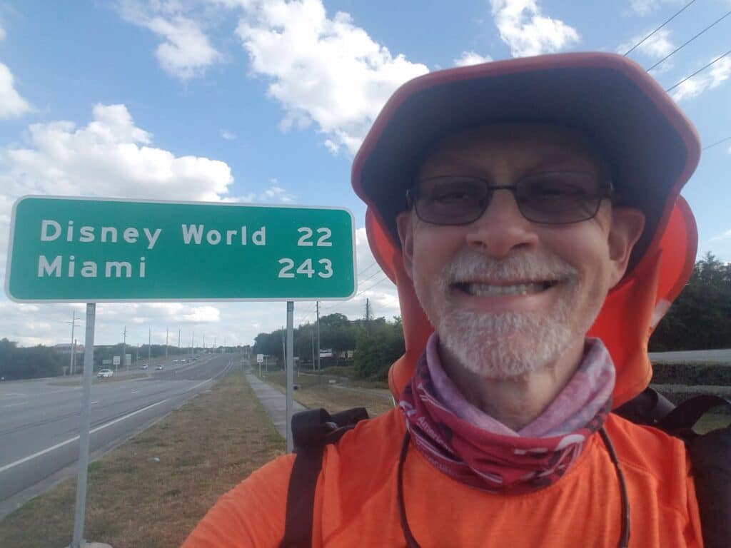
Morning in Bushnell was a little foggy. The fog didn’t last, but as I headed out around 7:30 AM, it gave an odd quality to the air, sound didn’t seem to travel as far, and I felt like I was running indoors. I crossed under I-75 and headed past a handful of gas stations, non of which had functional restrooms.
After about a mile and a half, I crossed railroad tracks and turned right onto Florida Street. There was a bit of a hiccup in my progress tracking as I learned that a Baptist church I had intended to pause at for a snack was now an AME Church. Not that it mattered, but I already recognized that after so many miles, I had a tendency to get flustered, excited, or depressed easily.
The running was better than average. The shoulder was good but sandy at times. Traffic was light, and after about an hour and a half, I reached the Circle K (and its functioning restroom!) and Bevilles Corner. Around 10:30 AM I reached the fire station at Center Hill, about half an hour before a scheduled interview with a guy named Landon, who was the executive producer at WKMG and grabbed an early lunch.
Since it was on the phone, I thought it was going to be a radio interview, and maybe that had been the original intent, but in our after-the-interview conversation, Landon mentioned that his station was one and the same with News 6 Orlando, whom I had dropped out of contact with some time ago when the pandemic put our plans of a May 2020 arrival on hold. It turned out we had a common contact: Carolina Cordona. She had originally expressed interest in the story back in 2020, and it just so happened she worked for him. Landon promised me he’d get in touch with Carolina as I got closer to Walt Disney World.
After that, I headed down CR-469. I was amused when I saw a “pending” sign next to a piece of rural real estate with some cows. I posted on Facebook that “somebody was about to buy the farm” and awaited the reactions. It wasn’t quite what I had hoped.
Around 12:30 PM I reached Tuscanoga Road, an almost invisible side road that would take me more directly into Mascotte, then Clermont. The road was tree-lined and narrow and way more busy than a little road should have been. It eventually emerged into open farmland, where I encountered a cyclist and exchanged greetings. At around 1 PM I reached Mascotte and FL-50, and the rural road finally gave way a little to a more settled area. There was a sidewalk on the right hand side of the road. About half an hour later, started to see signs with the remaining mileage to Clermont. Clermont was significant to me, because it marked the start of the heavily-settled area around Walt Disney World.
By 2:30 PM I was in Groveland. The shoulders widened again as the sidewalk came and went. Here and there I noticed tall grasses and what looked like water. I finally reached Clermont around 4:45 PM and the sidewalk returned to stay. The road headed uphill a bit toward my turn at the Walgreens at Bloxam, which would get me around the super-busy intersection of FL-50 and US-27. Once I emerged from behind the hotel, I rejoined US-27 at Hooks Street and picked up running on the sidewalk. I noticed the first sign with mileage to Disney World and took a quick selfie around 5:30 PM. I was so close! But a few more miles remained to get to my day stop at the CVS just before the turn onto Hartwood Marsh Road.
I stopped for the day around 6:15 PM at Hartwood Marsh. 34 miles for the day, finished before sundown, and tomorrow, barring unforeseen circumstances, we would arrive at the Magic Kingdom!
4/5/2021: Clermont FL to Walt Disney World to Kissimmee FL
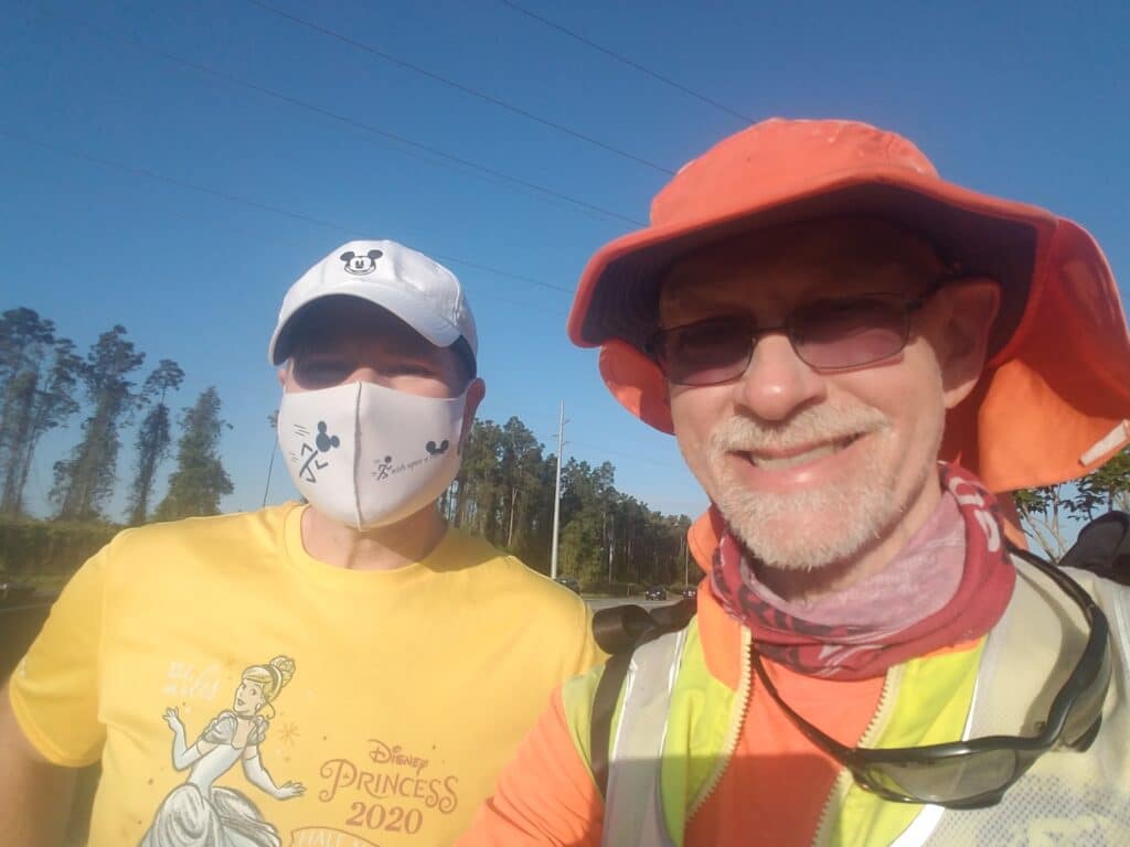
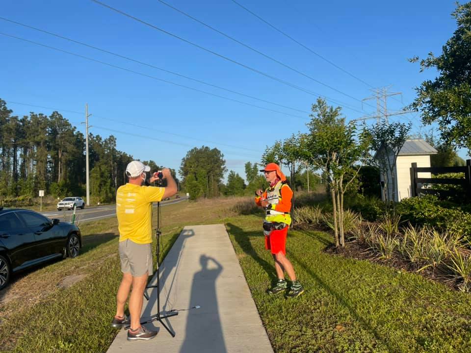
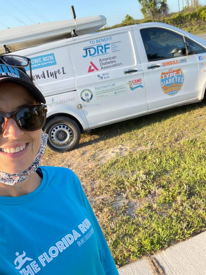
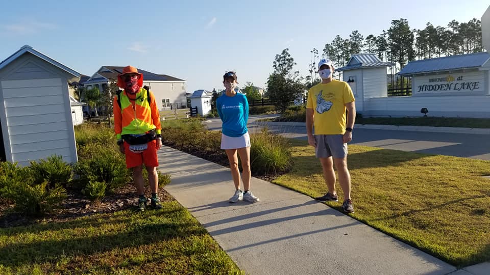
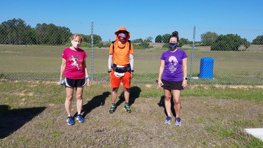
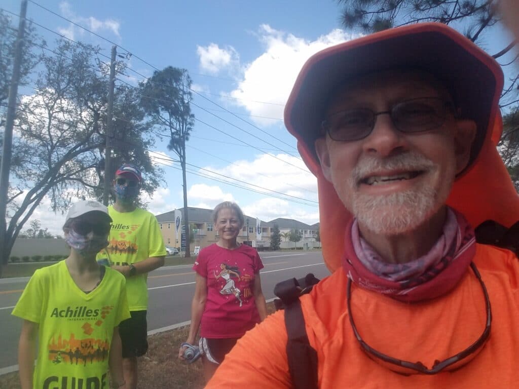
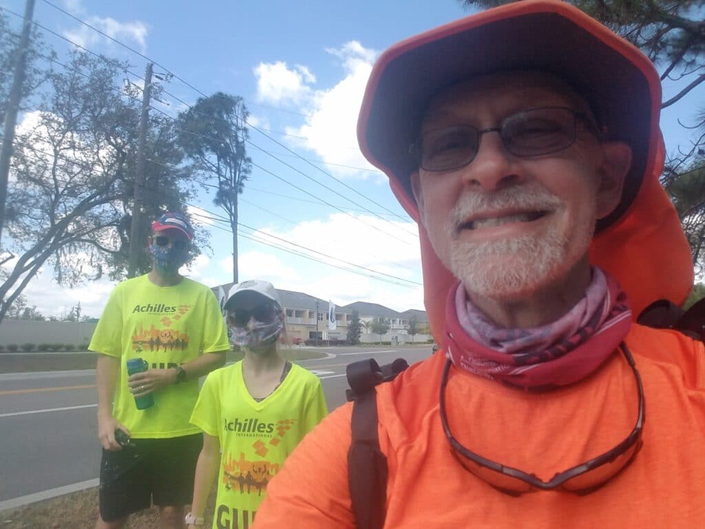
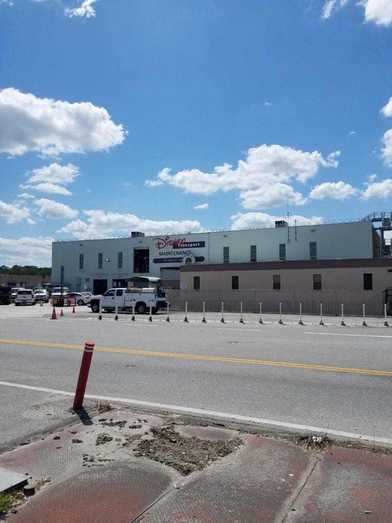
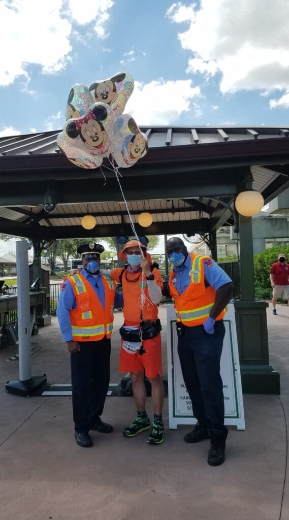
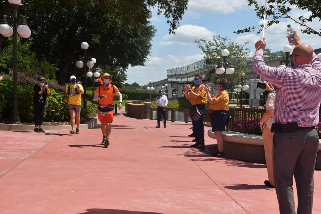
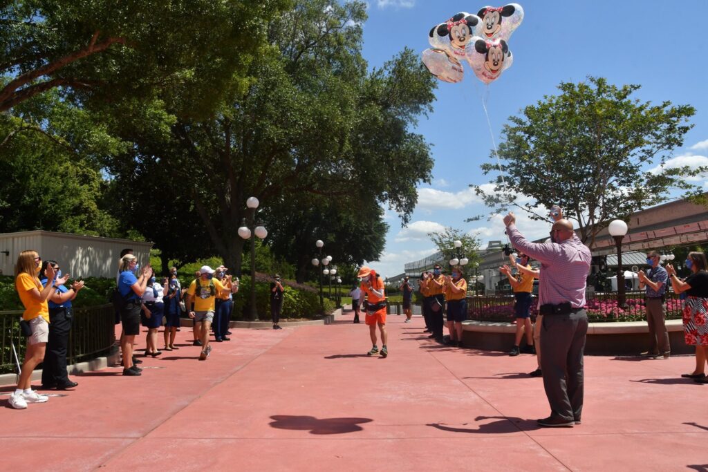
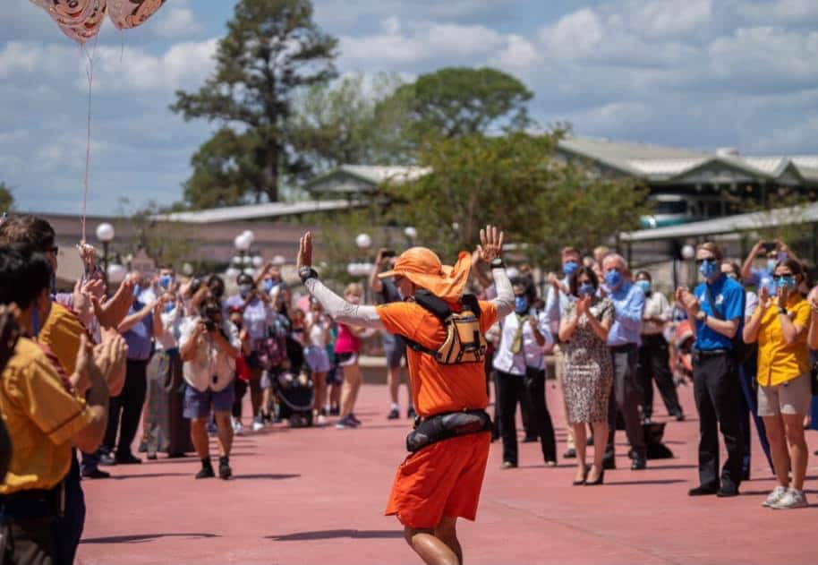
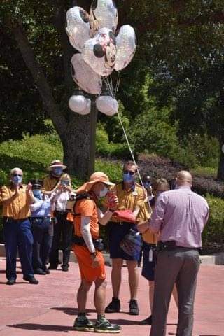
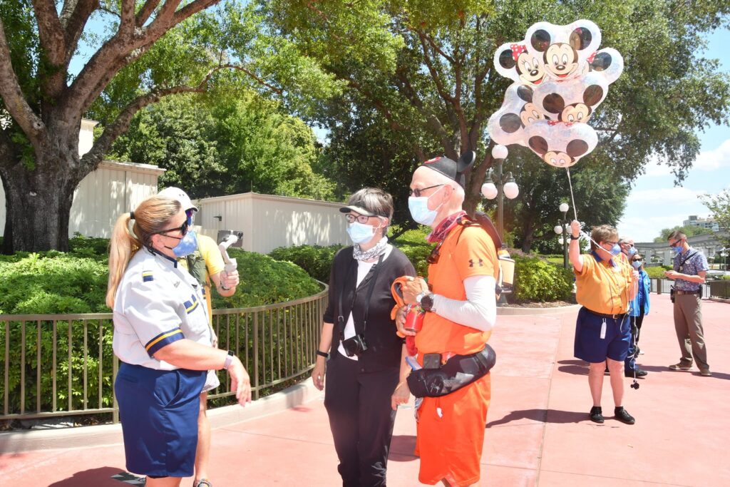
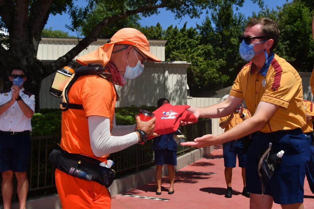
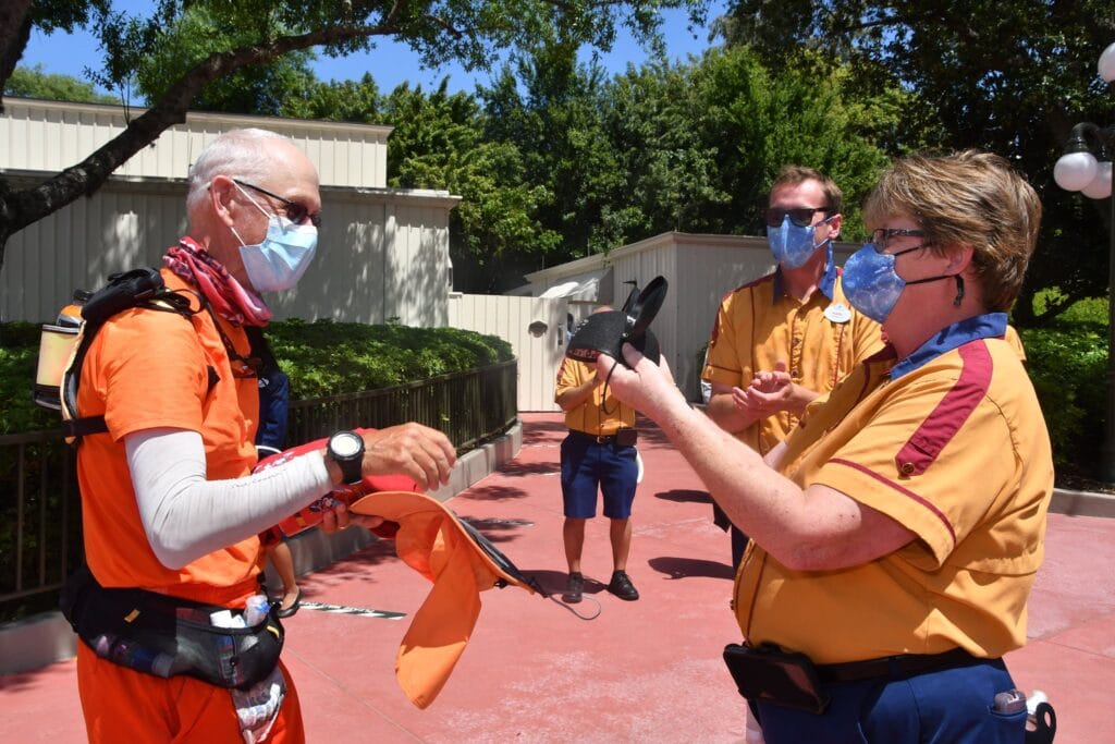
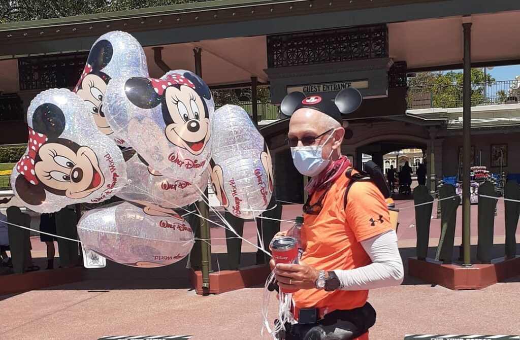
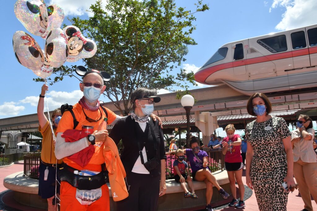
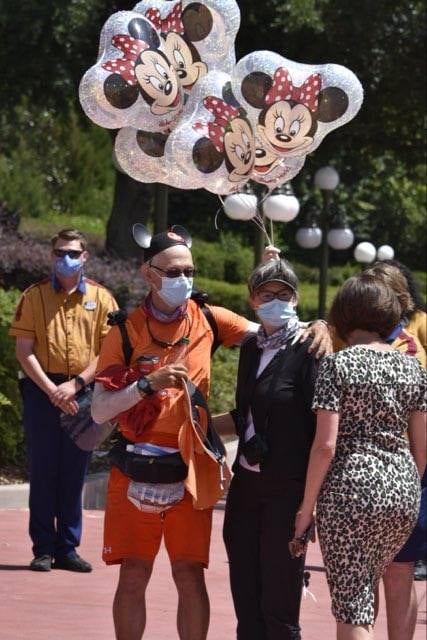
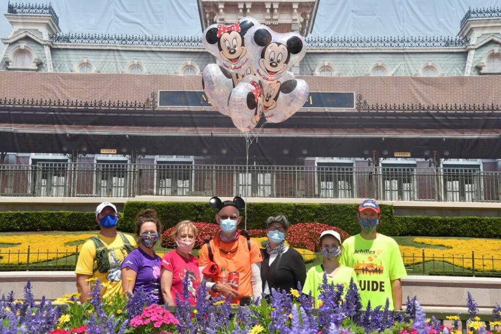
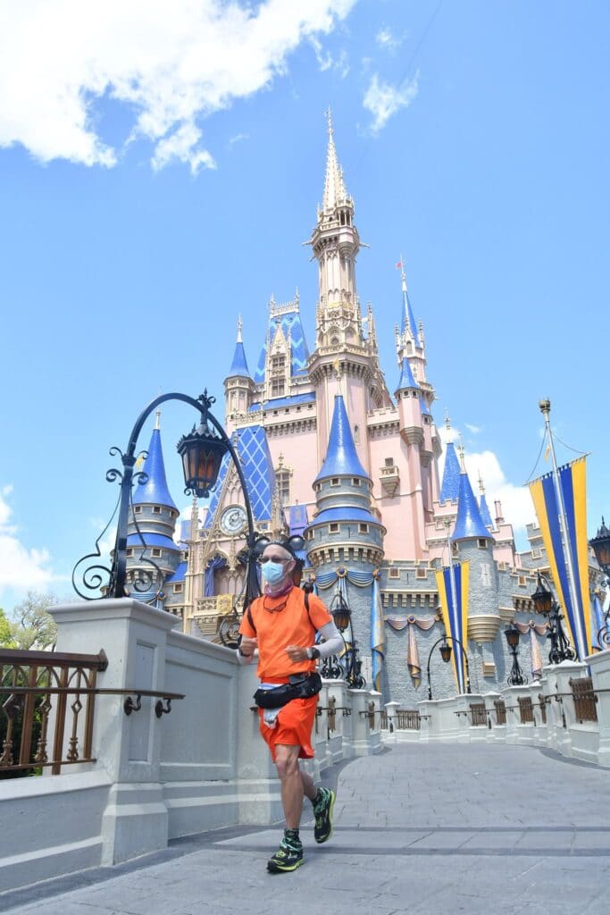
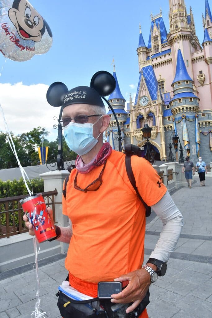
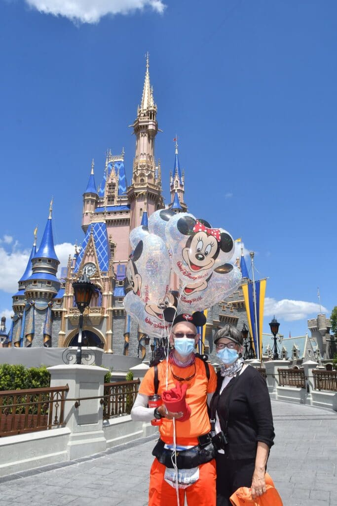
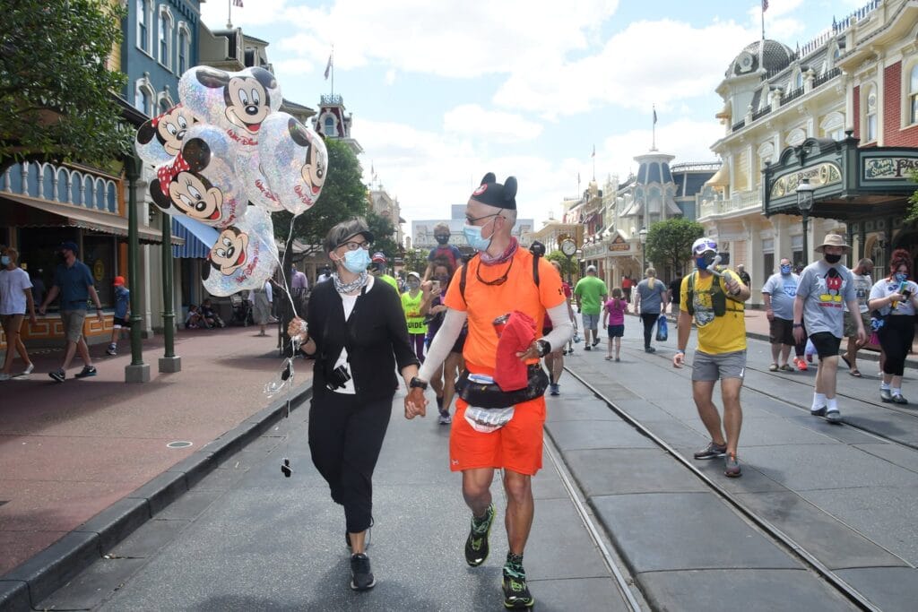
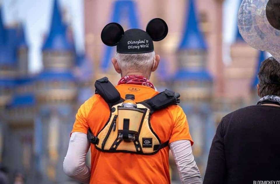
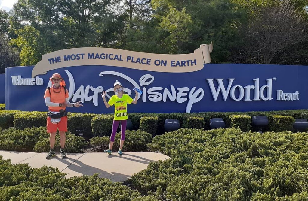
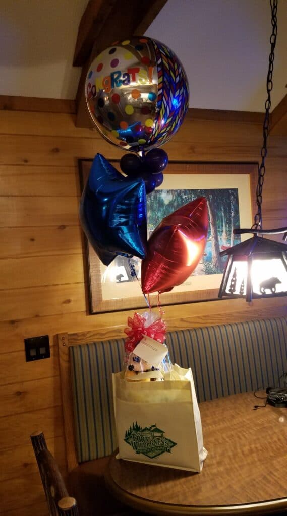
I got started again right around 7:30 AM on Hartwood Marsh Road, heading east. At around 8:15 AM I ran into Adam Strand, a videographer and Disney enthusiast for WishUponARun who had expressed interest in filming my day up to the Magic Kingdom. I told him it was going to be a lot of running, but he was enthusiastic, positive, and committed to doing it. We did a brief interview, and shot some drone footage of me going down Hartwood Marsh. We continued together, with him running backwards holding a camera. He did it like he was a professional.
Because he was. A decade ago, he had won three Emmys for his work, among other projects, filming a sinking ship from the inside, using specially designed underwater cameras that could survive the impact and pressure of sinking and then be retrieved by divers. He made the work look effortless. I kept telling everyone afterwards that the real hero was the guy who ran 20 miles backwards holding a camera.
About half an hour later I met a fellow transconner, Bobbi Jo Derhak. She was still in the process of planning her run, but we talked shop as we ran along the roadside, taking advantage of the sidewalk when there was one and dodging mounds of loose Florida sand when we had to. We ran for another few miles together and she headed off just after the road turned right heading into Winter Garden. Adam, who had gone back to his car for equipment, reappeared at the base of a hill heading east and notified me that he was going to try to get some more drone video. The road had just gotten hilly, and privately I wondered if the timing was intentional.
In Winter Garden I ran into Briar Rose Honeywill-Sykes and her dad, Ben Honeywill. Briar Rose is someone you’ll probably hera about in the near future. She is, as of this writing, a fourteen-year-old accomplished ultra runner who is attempting to break the Guinness World Record for the youngest person to run across the US. She and her dad have put in an incredible amount of work to make that dream a reality, including purchasing a serious RV and installing their own super-efficient power and water facilities, obtaining sponsors, and going through the endless paperwork, proof-of-run and record-witnessing witnessing requirements of the Guinness organization for 50+ grueling days on the roads between San Francisco and New York City.
Briar Rose and her dad Ben are fellow members of the Facebook group USA Crossers, so I knew them casually from their posts. But to be honest, I was flattered and humbled that such epic athletes would come out to meet me and run with me at my slow, slogging pace.
In my route scouting and research, I had learned that there was only one pedestrian-legal route that fed into the Walt Disney World area. That route took me through a In Independence, down Tiny Road, where about eight miles into the day’s running I met Rachel and her mom, both runners. Rachel’s mom was celebrating a birthday. The three of us ran together as they guided me through their home town and I checked the turns on my cue sheet. We ran together for a while, then Rachel had to take her son to a medical appointment. She returned after not long, and the six of us: Rachel, her mom, Briar Rose and Ben, and Adam the cameraman, ran the next eight miles with me (Adam doing it backwards) up to the Magic Kingdom.
I made one last stop at the 7-11 on Reams Road to do an interview with WESH / News 6 Orlando (that’s the story in the video above) before turning onto Center Drive, crossing the railroad tracks, and turning right onto World Drive.
Our original plan had been that when we got to the Contemporary Resort, Leslie, who had made a lunch reservation at the hotel, would park and walk over with me to the security gate, grab a quick selfie to prove we had gotten there, and keep running. A little after 12:30 PM, Leslie was busy parking the van when a security guard asked “are you the runner?” My first thought was that Disney management had gotten wind of the run and wanted to tell me nicely that I was on private property, then escort me and my videographer out before my run became an unwelcome distraction. I told him that yes, I was the runner. He asked if my wife was parking the van at the Contemporary. I told him guardedly that yes, we had lunch reservations.
The security guard didn’t seem too bothered by it all, which was a little unexpected, but I felt relieved that he would at least wait until Leslie and I were reunited before dealing with the situation. The rest of our band of road warriors waited patiently for Leslie to show up. Once Leslie had parked the van and made it to the street crossing to the park, the guard smiled and said, You have some friends waiting for you.”
My first thought was that Walt and Lila had somehow managed to extend their stay and had actually made it to the Magic Kingdom. I hoped they hadn’t had to wait long.
The guard instructed me to run up the red brick walkway, do a quick check-in with security (and it was quick, except for my desire to take a selfie with them, one of whose relatives had Type 1), and continue up to the park gates. I did, and on the run up to the park gates I saw a few people cheering and applauding. I shouted “I love you guys!” And I did. The idea that anyone but my small circle of diabetic friends would even know about our run still seemed a bit incredible.
The video and pictures above show my reaction to the crowd that awaited us. It is almost impossible to describe what it felt like even now. There were what seemed to be about 200 Walt Disney World Cast members cheering and applauding. We were met by Ash, who coordinated the overall hospitality for our visit, and Marisol, a Disney photographer who had volunteered to capture the moment in pictures. I was welcomed into the park by Walt Disney World President Melissa Valiquette and presented by a Cast member with a one-of-a-kind custom Mickey Mouse cap on which had been embroidered the words Disneyland to Disney World. We were given balloons, a RunDisney sweatshirt, an insulated metal cup, and the Best Surprise Party Ever. They opened the gates and let the seven of us (Leslie was now with me) into the park, took Leslie and me to our favorite ride, It’s a Small World, and put us at the front of the line. A fellow whose name I believe was Ian was assigned to voucher any purchases we made, and since it was going on 2 PM by now, I got a Mickey Mouse ice cream bar.
I can’t remember if I paused my watches and tracker or not when we were in the park. I’m not sure I cared.
Around 2 PM I resumed running. I still had 15 miles to go to Kissimmee. My bio-dad, his wife Linda, my brother Chris and his wife Drea had all taken time out of their schedules to make a long drive from Sebring to Indialantic, and even if I finished the day on time, that was another 62 miles past Kissimmee. I wasn’t sure they really wanted to be waiting on the beach as the sun went down, the tides changed, and the chilly ocean breeze picked up into a full-on wind, so I was anxious to not delay any further.
Rachel and her mom went home after visiting the park. They had started the day mildly interested in running with me and had ended up with free entry into Walt Disney World. Ben and Briar Rose (yes, that is also a Disney character) ran with me the remainder of Vista Boulevard, Winter Garden Vineland Road, and finally parted company with me at the turn onto 535 / Apopka Vineland Road a little after 5:30 PM. I kept going, I made a quick restroom stop at the IHOP, continued under I-4, and got back to what I knew best: running on the highway.
Ben and Briar Rose must have had a ride nearby, because some time around 6 PM, when I was stopped at a Chik-Fil-A for a fuel break, they returned and gave us a bumper sticker for their run. They felt like family at that point. We hugged and said goodbye one last time, wished them luck on their record attempt, and I thanked them for putting up with me for the whole day, since I’m not always good company on long runs.
This time, civilization didn’t exactly peter out, but the shoulder did get a little rough and I took to running a frontage road just east of the highway. The frontage didn’t last, however, and I kept alternating between the shoulder and running in the weeds for what seemed like the longest time. The sidewalk finally picked back up again just past the 417 tollway.
I reached Kissimmee and stopped at Medieval Times, where US-192 turns due east, around 7:15 PM. I chuckled privately at the idea that I had snuck in another castle-to-castle run. And I had still gotten in 31.5 miles for the day.
When we got to our lodging–we had splurged and reserved a cabin at Disney’s Fort Wilderness Resort, which had openable windows and a small square footage that meant fast fresh air turnover–there was one final surprise waiting for us: “Congratulations” balloons, a box of chocolates, a plush Mickey Mouse, and a personal note from the resort’s hospitality manager. The thing is, the room was reserved under Leslie’s name, so Disney had to go to a lot of trouble to prepare a custom surprise, find our unit, leave it there, and spirit themselves away chuckling gleefully like mischievous elves.
Despite the fact that we had 62 miles to go, we both slept well that night.
4/6/2021: Kissimmee to Deer Park FL
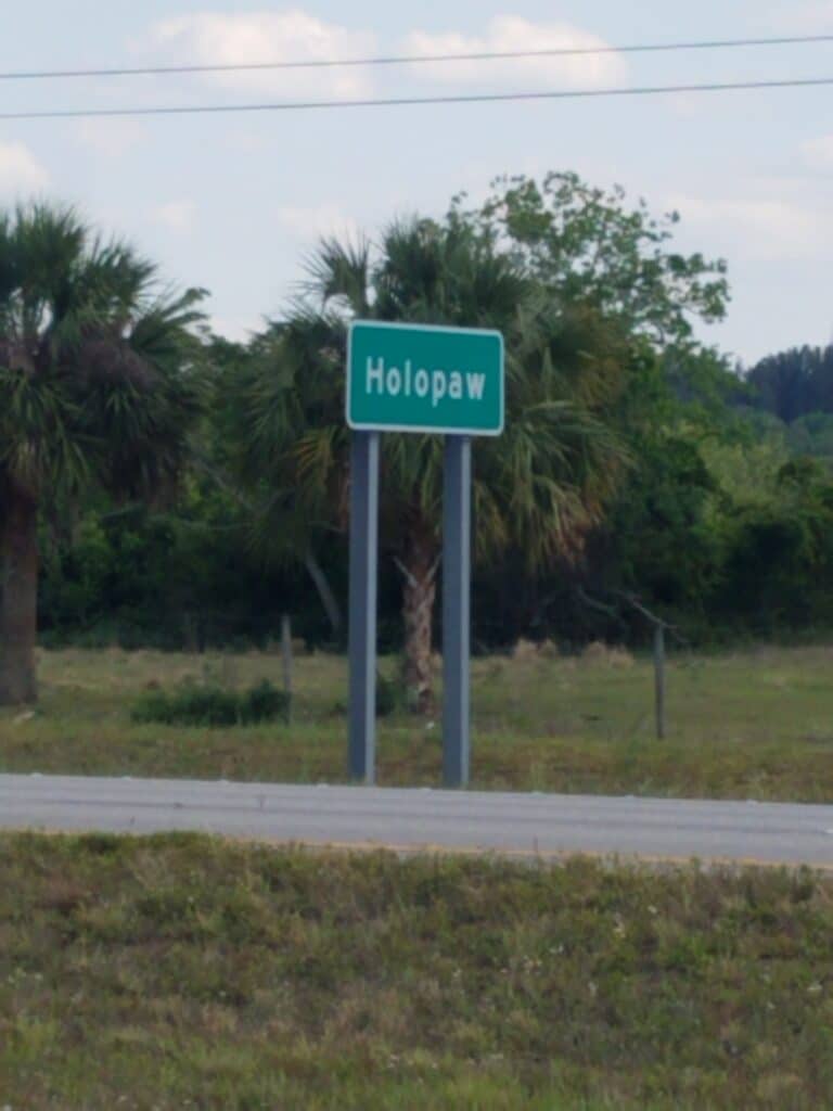
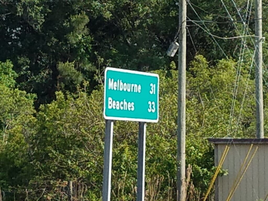
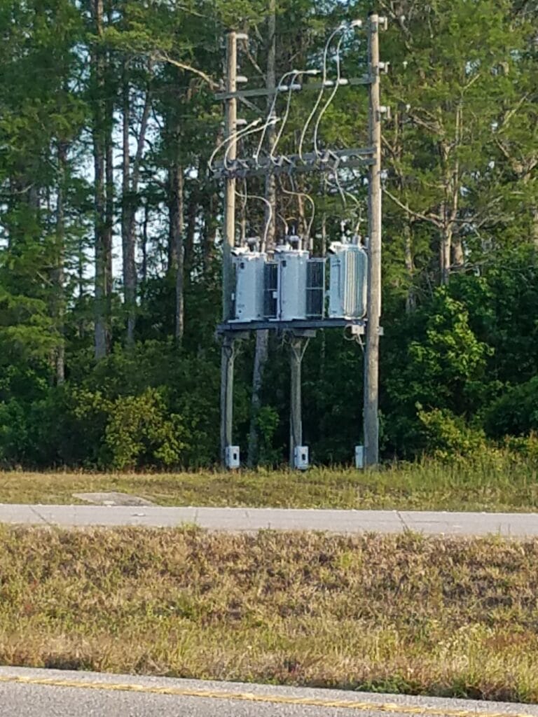
The next morning at 7:15 AM I resumed running. With only two more days of running to go and the Disney World arrival behind me, my focus was making it to the coast without getting hit by a car, and if possible, doing so by no later than late afternoon on April 7th.
At around 8:30 AM I surprised a squirrel on a tree at the side of the road, or perhaps he was just curious. He stayed in one place long enough for me to take a picture.
Around 11:30 AM I reached St. Cloud, and this time, civilization did slowly peter out. The thing about US-192 into Melbourne is that while it is the generally safest way for someone coming from the Orlando area on foot to reach the coast (the bridges at Cape Canaveral and Cocoa Beach are either pedestrian illegal or dangerous), it is long and boring. It was almost an hour later that I finally saw signs for Holopaw, a town that as far as I can tell consists of a convenience store. But the shoulders were wide, the weather was generally pleasant, and the running was good.
I had a secret goal of making it 37 miles so that my final day of running would be only 25 miles.
Somewhere around 1 PM We stopped for a quick roadside lunch. I didn’t want anything hot or complicated, since I felt that would just take another five minutes and I could have been farther down the road. Accordingly, I took to wolfing everything down and trying to drink fast. I didn’t react well to that strategy and began spitting up the soda I had just swallowed because it wouldn’t go down and the soda under it was trying to release carbon dioxide. Then I heard a helicopter overhead.
“Oh yeah,” said Leslie. “I forgot to tell you about that. That’s NBC News 2 Orlando.”
I jumped out of the van and started running. Call me an attention hound if you want to, but if I was the reason they were out there, I felt I had better get running. They didn’t come back for a while, and I finally returned to my more normal-paced run-walk strategy. My feet now had ten blisters, but they were holding up reasonably well.
Around 3 PM in Harmony, FL, I ran into Amanda Corcoran, a Disney fan who lived nearby. She had been disappointed she couldn’t be at the Magic Kingdom when I arrived (!) and her husband had told her that according to the live tracker, I was just outside their neighborhood. We chatted for a bit as we ran. Then Amanda noticed a helicopter overhead.
“That would be Channel 2 News Orlando,” I said. At least I was running this time. We ran together until we met up with Amanda’s husband, who generously offered me a bottle of cold water. I drank the whole thing in one long, continuous gulp. That’s Amanda in the video below.
Around 4:30 PM I reached Holopaw, then around 5 PM I began to see signs for Melbourne. Melbourne was only 31 miles away. 50K. One day of running. And I still had plenty of daylight. I finally stopped around 7 PM, at Hibiscus Road, which is noted by nothing more memorable than a power transformer. At 36.5 miles, and with only half an hour of sunlight and no better markers to look forward to, we called an end to the day. I had made it to my stretch goal of 37 miles, and we were now only 25 miles from the Atlantic Ocean.
4/7/2021: Deer Park to Indialantic FL
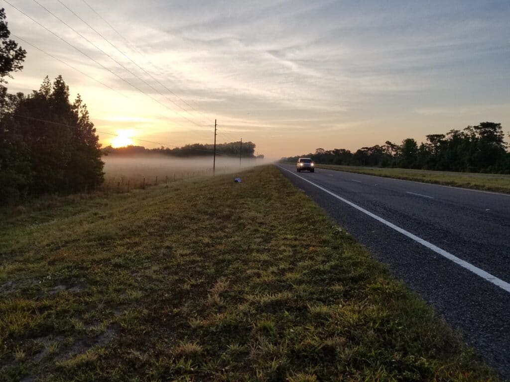
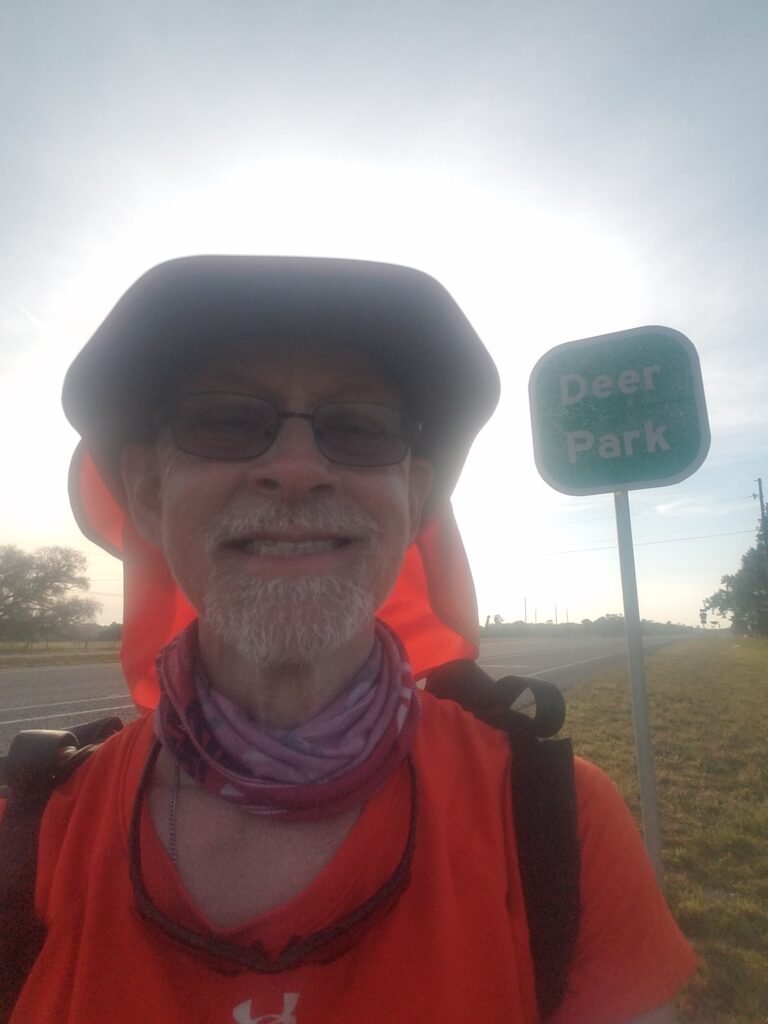
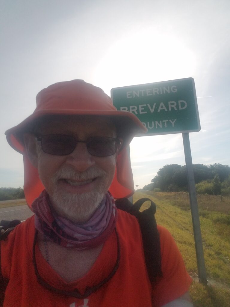
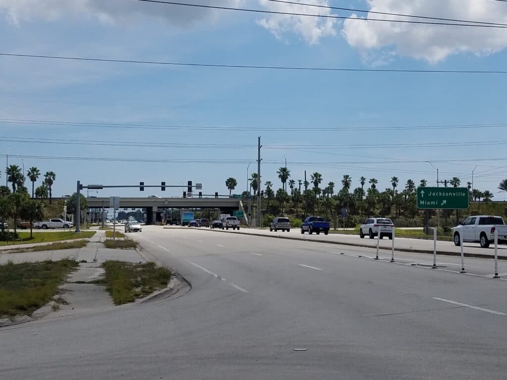
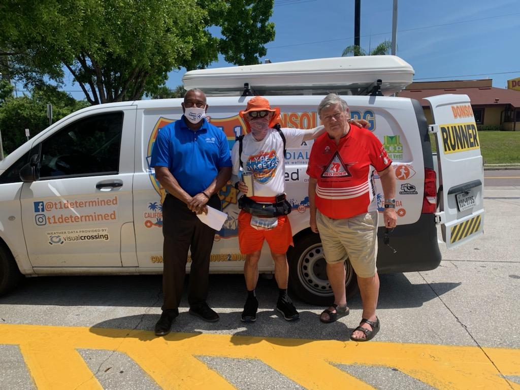
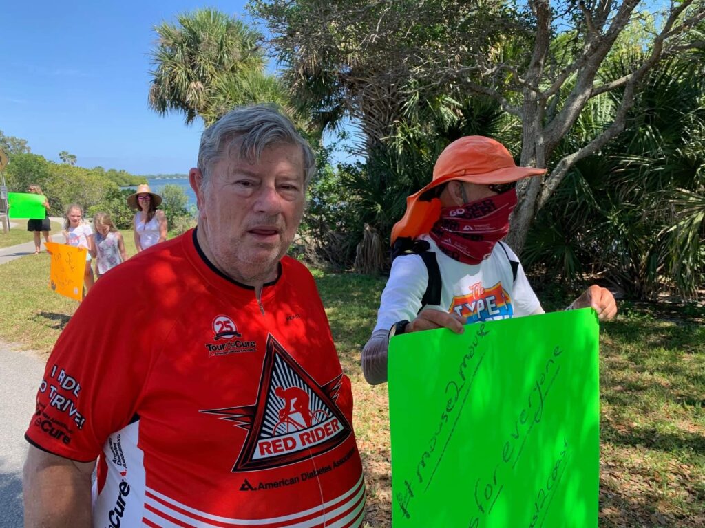
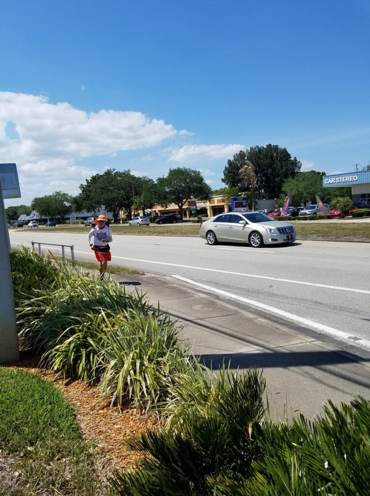
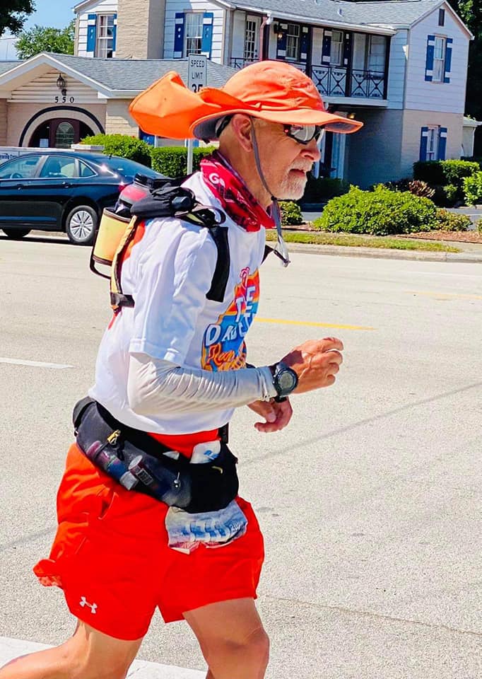
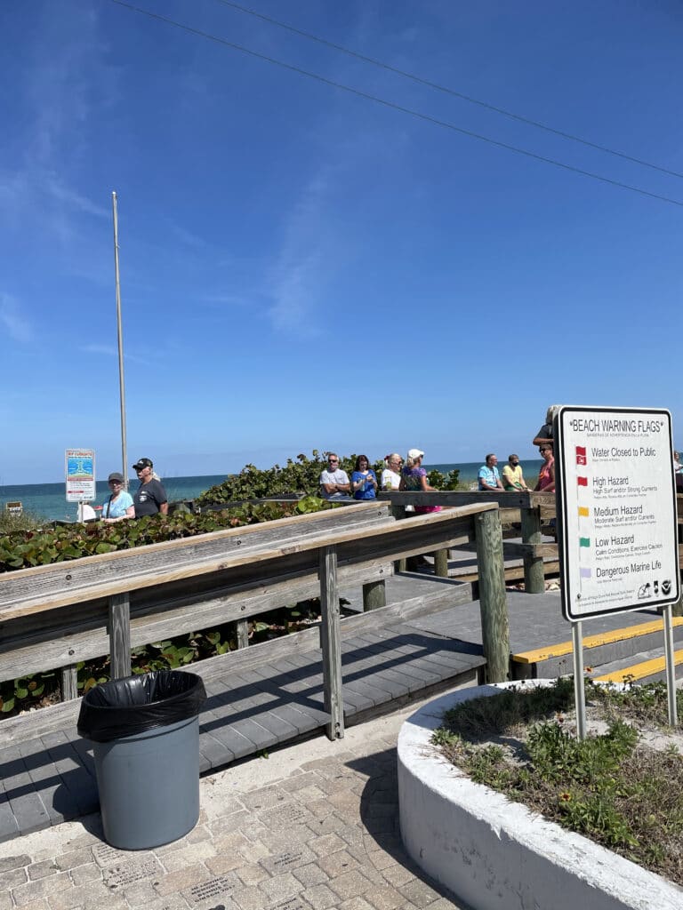
I started the final day of running at 7:15 AM. Fog had accumulated in low-lying places, but the road for the most part was clear. I estimated arriving at the coast perhaps around 3 PM, based on past 50Ks and what I knew about my best ultra pace. This day, the running was going to be barely more than a marathon!
I reached Deer Park, barely more than a road sign, about an hour later, and the sign for Brevard County almost immediately thereafter. During my run across Texas in 2019, I had noted the county border signs as landmarks: 28 counties and 108 towns. For the US run, I had ceased to notice the counties. There were too many of them. But Brevard County was the last county I had to run through, and the road sign was a welcome sight.
Not long after that I ran into Erik Hougland, a fellow diabetic and Red Rider (diabetic cyclist) who coordinated a lot of the local Team Red cycling team activities for the American Diabetes Association’s Tour de Cure. Erik was the first in-person welcome I got for the final stretch of the run. He had gone out of his way to summon a crowd for the finish line, scout the beach for hazards, and secure parking for the van near the bridge into Indialantic and at the beach. He had driven out to where I was to let me know I didn’t have far to go and that people were cheering me on from a distance.
Off and on, as I ran toward the coast, I heard friendly honking from passing cars. And believe me, by now I had learned the subtle difference between honks that meant “Idiot! Get out of the road!” and “Go, Don!”
Around lunchtime I came to a large highway intersection that marked my entry into West Melbourne. Five minutes later, I could see the I-95 overpass.
I-95 has a special significance for me. It was where my bio-dad, Jim Carr, taught me to drive. At rush hour. He had confidence in me, and figured there was no time like the present. And to a large degree, that remains my philosophy as well. If you’re going to do something hard, study up on it, figure out how to do it safely, then go do it while you still have your nerve. Even if you fail, you’ll learn something.
Just past I-95 was a Sunoco where Leslie and Erik and I met up to coordinate events for my arrival. He and Emily Anne Dumas Thomason had been working with Leslie to ensure that I was on pace, that followers arrived at the beach on time, and that everything was in place when I got there. She had contacted local merchants to arrange a goody bag and had invited Indialantic’s Deputy Mayor Stu Glass to present it to me along with a welcome to the town. In turn, Stu had coordinated with Police Chief Mike Connor to see to it that I got safely across the bridge over the Indian River / Intracoastal Waterway.
While we were at the Sunoco a man approached us. I believe he was a local insurance agent–I have his name somewhere–and he had seen the van and wanted to wish me luck when I ran by. I was running about 45 minutes ahead of schedule, so while we all chatted, I enjoyed one of the few leisurely lunches I had taken in a long while. Now it was about not arriving before people got to the beach. While at the Sunoco, I also switched to sand gaiters and put on my remaining pair of shoes with a custom-sewn band of Velcro going all the way around the top to fit the gaiters.
I got going again, and starting around 1 PM I kept running into Emily Anne. She asked me if I needed anything, and flagging a little from the run into West Melbourne and feeling a little sleepy from lunch, I remarked that a sugar-free Red Bull would sure taste good. The next time I saw her, she was enthusiastic and encouraging, but also very busy, and I didn’t have the heart to ask what happened to the Red Bull.
A little later, I ran into two supporters, a husband and wife, who were waiting in their car to hand me a cold water. I downed it thirstily, thanked them for waiting for me, and kept going.
Just before the bridge there is a fork in the road. The right side goes into downtown Melbourne and the left side heads up the bridge over the waterway. For once, my intuition that I was about to take a wrong turn served me well. I was checking my cue sheet when another runner approached from behind. He asked me where I was going and how far I was running. I told him I was just a few miles shy of completing a transcon. As we talked, Tim Short, a journalist from Florida Today, showed up to ask a few questions, conduct a short video interview, and take some pictures.
I don’t have the license to re-post the pictures yet, so here’s a link to their article. It documents in pictures a lot of what happened the next few paragraphs.
Tim got back in his car and drove to the beach to get ready to document my arrival. I got to the park just before the bridge around 3:15 PM. I met Erik and Leslie and Emily Anne and greeted more supporters. Adam (the cameraman) was waiting, as promised, to film bits of the run across the bridge and the finish line footage. I was met by two Florida State track athletes who paced me over the bridge, as well as a T1D cyclist who wanted to accompany me. I was more concerned about her safety than mine at that point, as from our route scouting I already knew the bridge had a wide sidewalk on both sides. I chose the right side because it was easier to get to from the fork in the road and had wider sidewalk.
The seven of us: Adam, his fiancee’ Kristen, the Florida State athletes, the runner I had met at the fork, and one other and I ran across the bridge while the cyclist rode alongside us. I found myself trying to increase my speed so she could ride faster and not get hit.
As we made it into Indialantic, I stopped to talk with a construction worker who said he had seen me on the news and wished me a blessed day. I continued running with renewed enthusiasm as I noticed that police were blocking traffic so I could make a beeline to the beach and the finish line.
Erik and Leslie were waiting at the boardwalk along with Pops (aka Jim Carr, aka Bio-Dad) and Linda. Wary of missing the stuff that really matters, I reached out and held Leslie’s hand for a moment before continuing to the beach to lay a small nautical token in the water to say a final goodbye to Ed Muchow, the man who had raised me as his own.
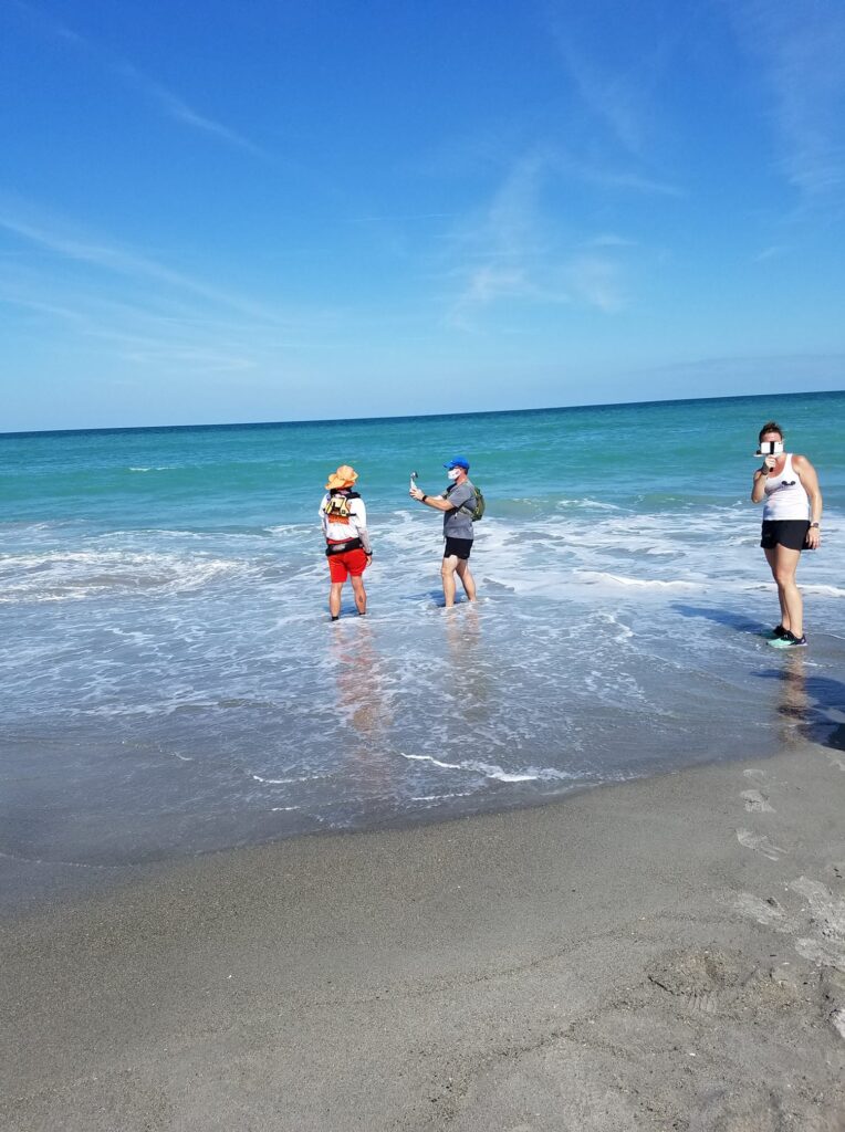
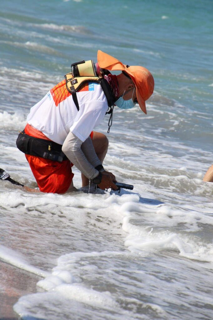
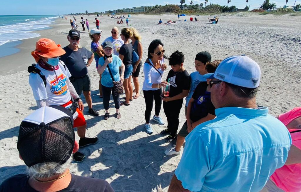
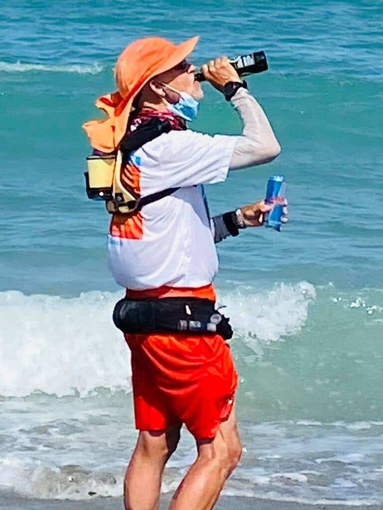
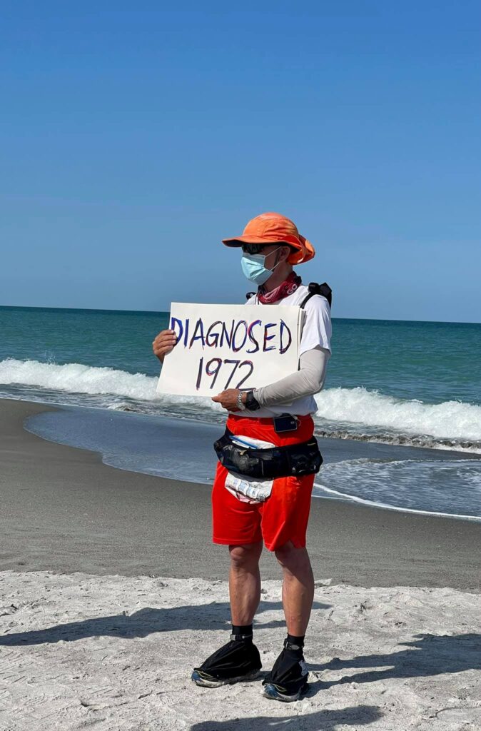
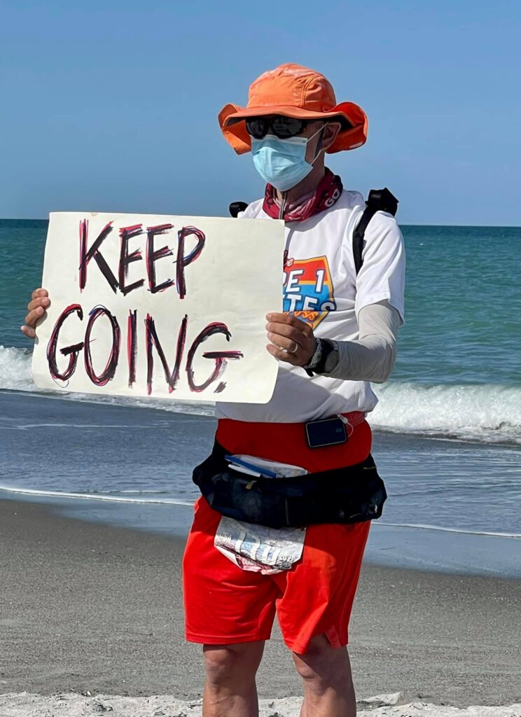
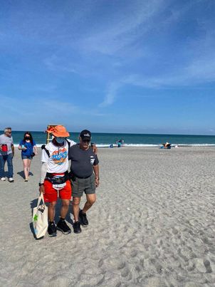
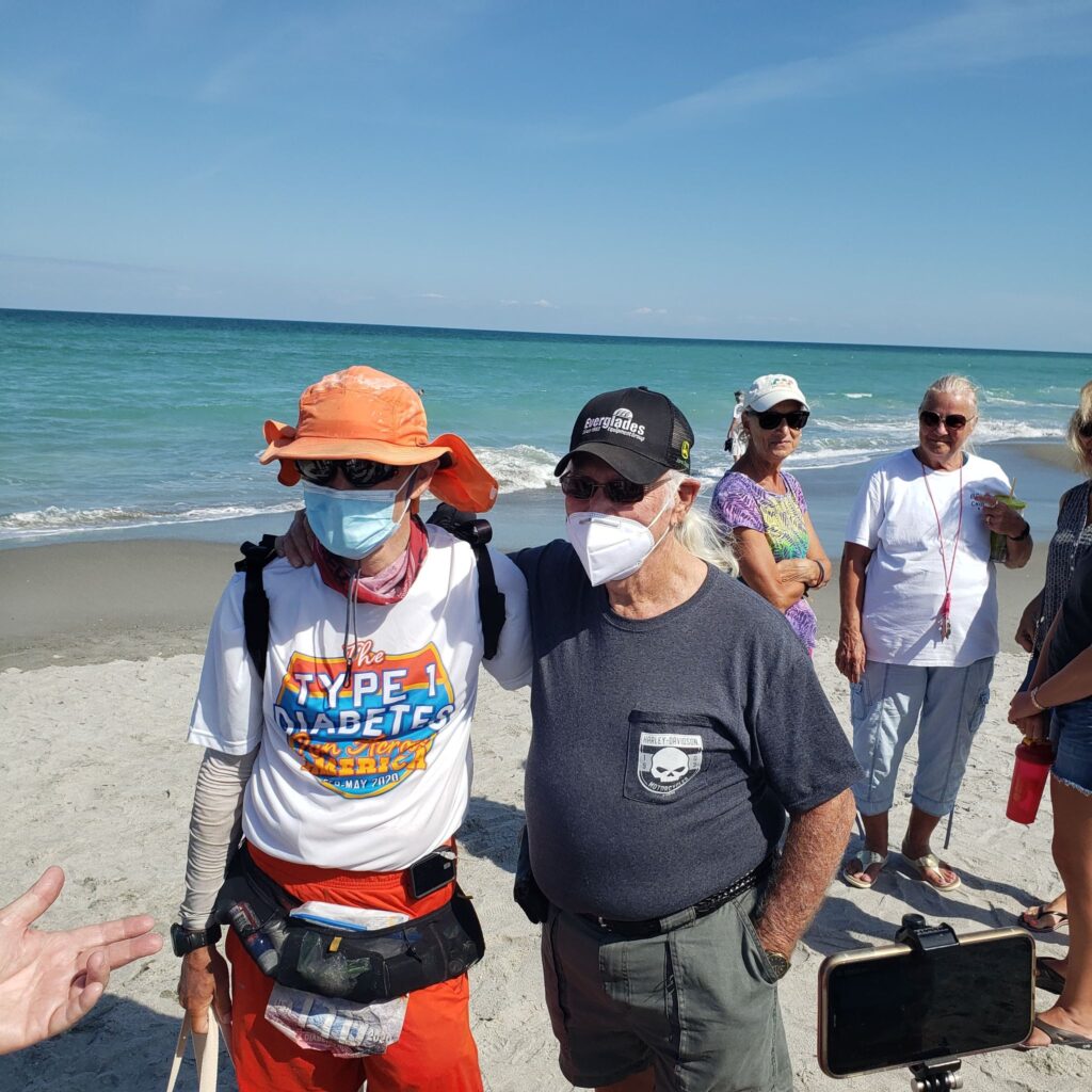
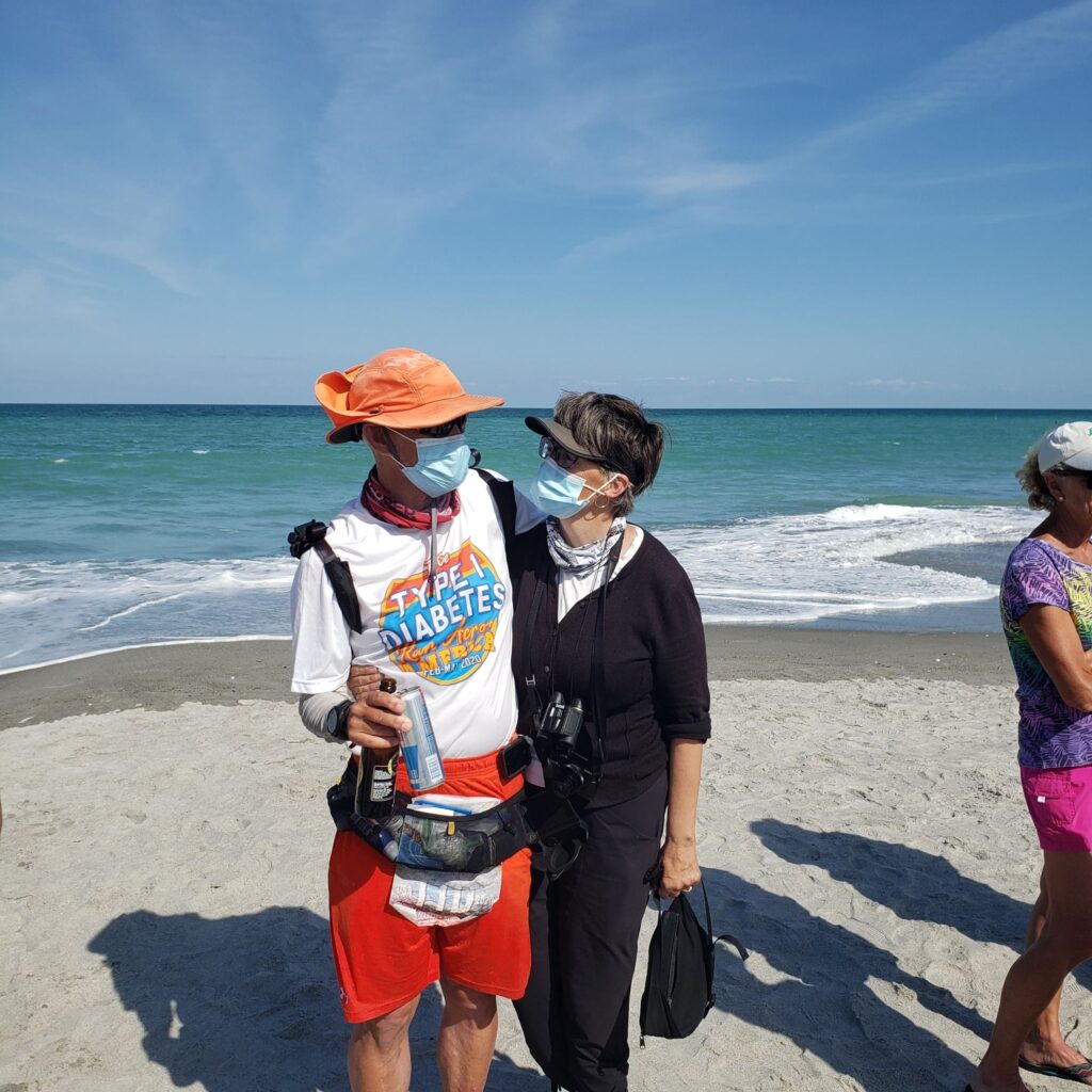
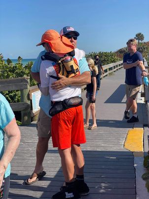
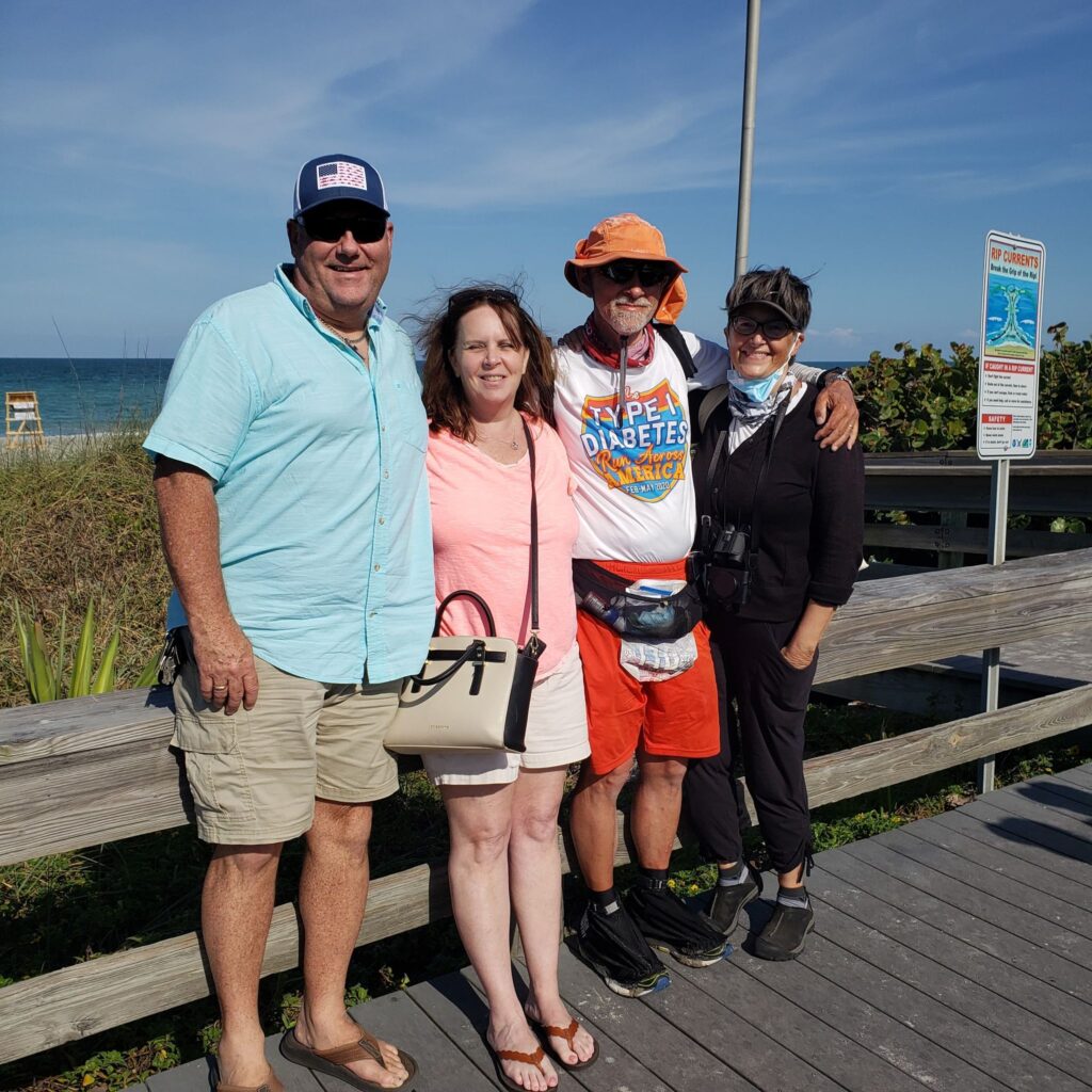
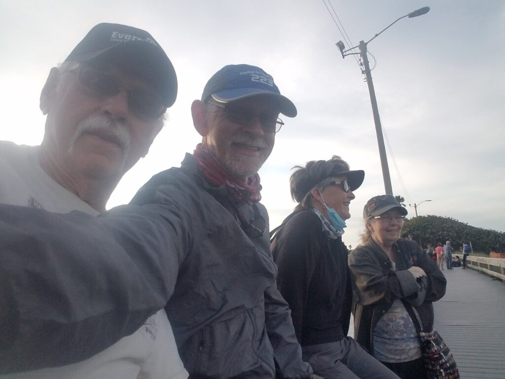
A small crowd of about 30 people were at the beach. I needed to process what was happening and save the moment in my mind as I tried to collect my thoughts. Back in New Mexico, on that lonely stretch of Highway 176 as I grieved for his loss, Dad had said he believed in me; but that he couldn’t stay long, promising he’d see me at the finish line. I tried to photograph the token before it was washed away by the ocean. Then it was gone. This, I thought, is his way of saying goodbye. It wasn’t what I expected, but then again, nothing is quite what you expect. I had learned that in spades over the last 2845 miles.
Friends and family were there. Pops and Linda and my brother Chris and his wife Drea had all driven over two hours from central Florida to be here.
I finally had my chance to say the words I had never quite fully conceived until just that moment. It went something like: “I wouldn’t be here if not for the love and support of my wife Leslie and the two most important men in my life. One taught me to tie my shoes, and the other taught me to drive. The first one, sadly, couldn’t be here with us today, but I know he would have wanted to. He taught me tenacity. I honored his memory a few moments ago on the beach. The second has been my “Buddha” for the entirety of the run: he taught me how to be calm and appreciate what you have. Both taught me to believe in myself, and that things like this are possible.” And in that moment, I knew those words were true.
Chris and I put together a short finish-line video about Type 1 from posters Leslie had created. I hugged Chris and Drea. Our visit was way too short, but I knew they had to get back.
Leslie was somewhere…I had the posters in my hand, but I hadn’t recalled seeing her since the brief moment connecting on the boardwalk. That had happened on my first 200+-mile race in 2017, when running on seven hours of sleep in three and a half days, I hallucinated Leslie’s presence and ran to the finish line without her. It upset me now that I couldn’t see her.
Pops walked me back from the beach. I finally found Leslie. She had just given me the time she knew I would need to deal with things at my own speed. She was happy, unworried…but maybe a little tired.
Someone asked if we needed anything. I facetiously answered “A nap and a steak.” Later that evening, YellowDog Cafe comped Leslie and me the best filet we have ever tasted.
I heard Tim Short of Florida Today ask: “After that, what are you going to do?”
Without thinking, I answered, “put a tough year behind me and try to focus on the good that’s all around.”
In fact, it makes all the difference in how you see the road ahead.
[And in case you’re wondering, I gave that $5 bill to Steve Meyers, a fellow transconner who is is carrying it across the US as I write this. Safe travels, my brother, may your journey show you the best in this country, and may you never have reason to spend it.]